

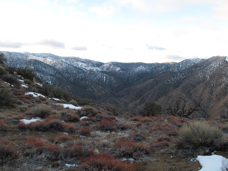
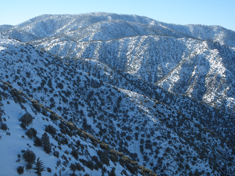
Looking up 5N04's path above Little Rock Creek.
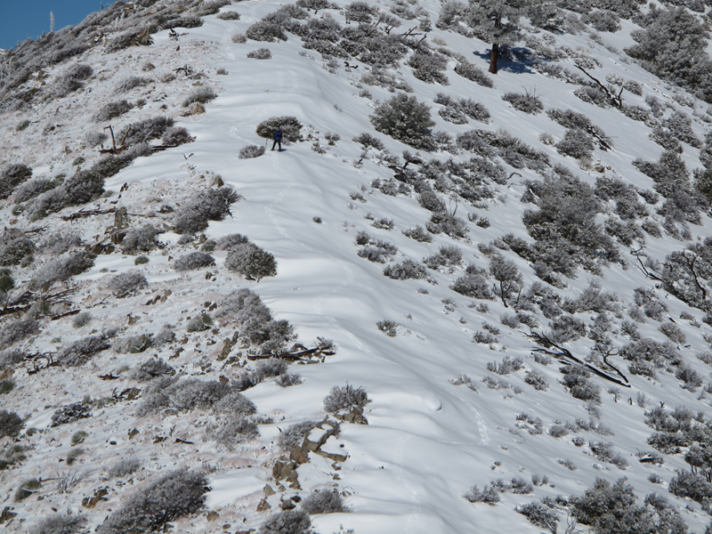
Footing on this still frozen surface hoar was surprisingly tractive.
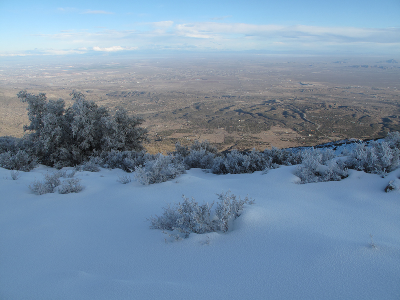
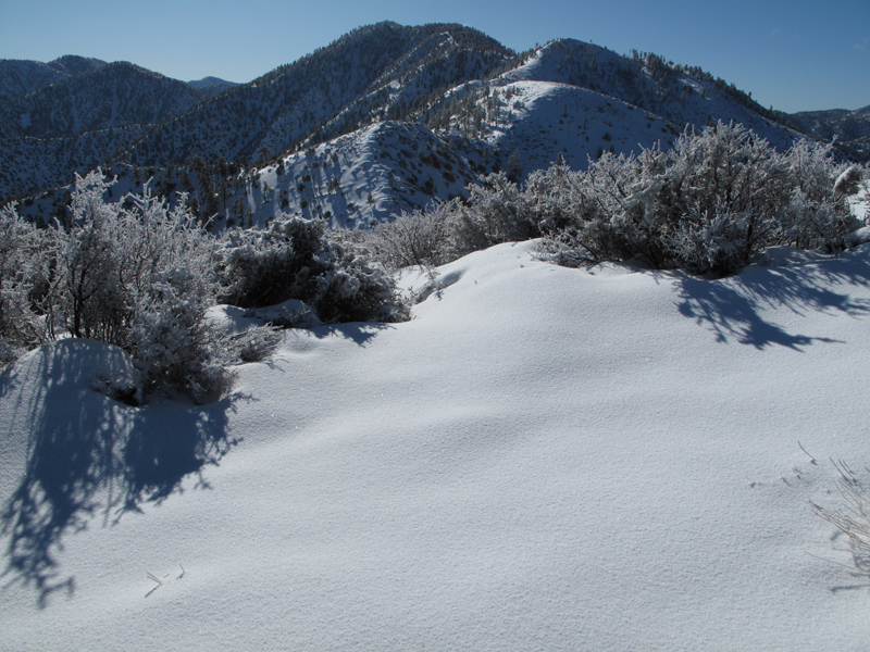
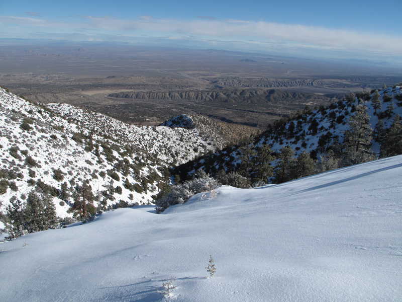
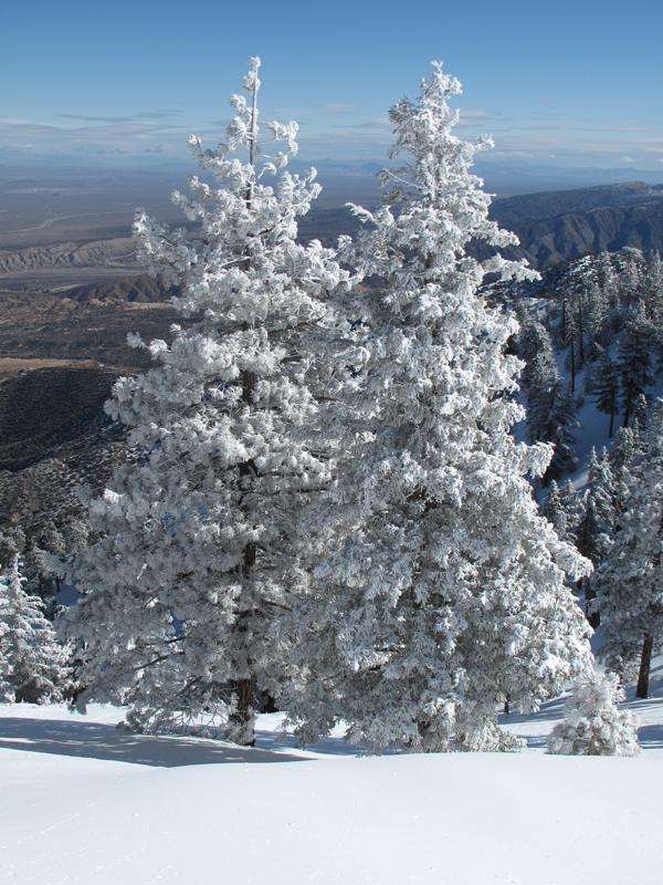
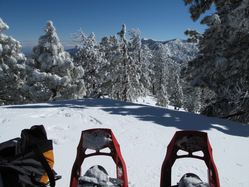
Snow above, desert below. It was breathtaking.
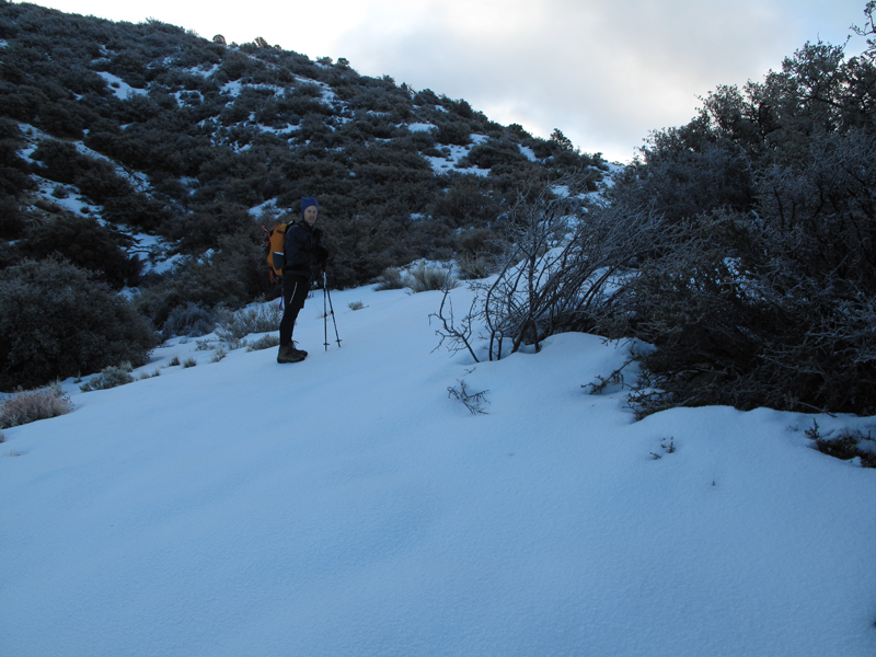
Turtle headed up PVR, impromptu sunshade for the G10.
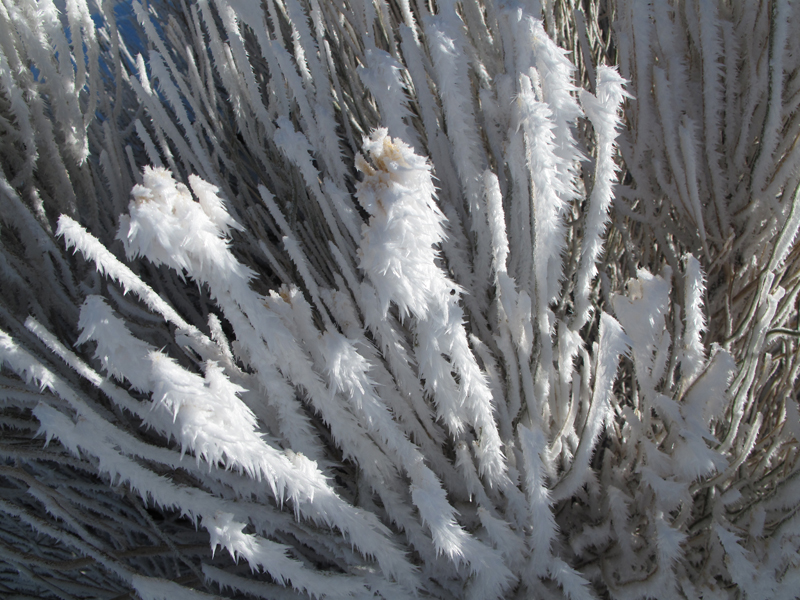
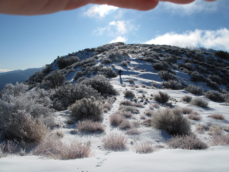
We saw some amazing frost variants in the morning.
Approach to Will Thrall Peak.
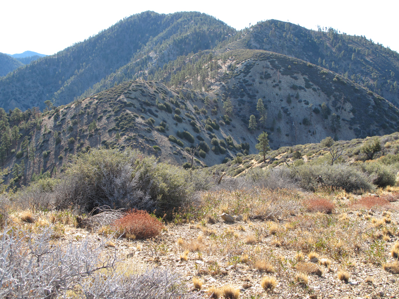
Same view, this past November.
View towards Strawberry and Josephine Peaks.
View towards Waterman Mountain.
Turtle's point of view for the picture of me on the other side of this saddle.
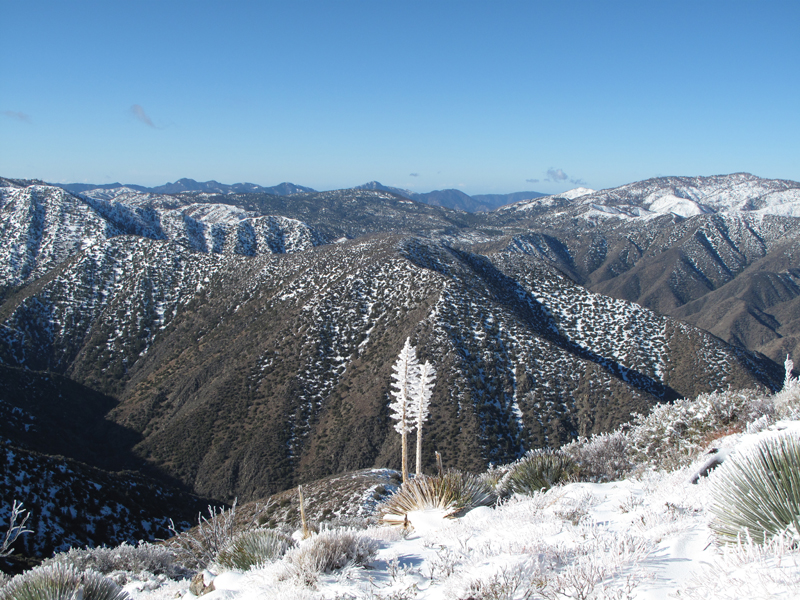
Looking towards the San Andreas Rift Zone.
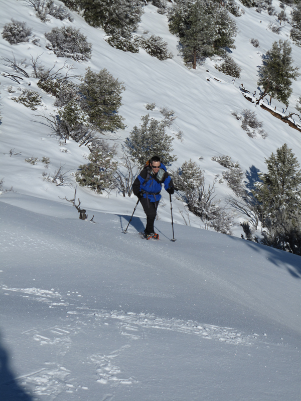
Turtle haulin' ass up towards Will Thrall Peak.
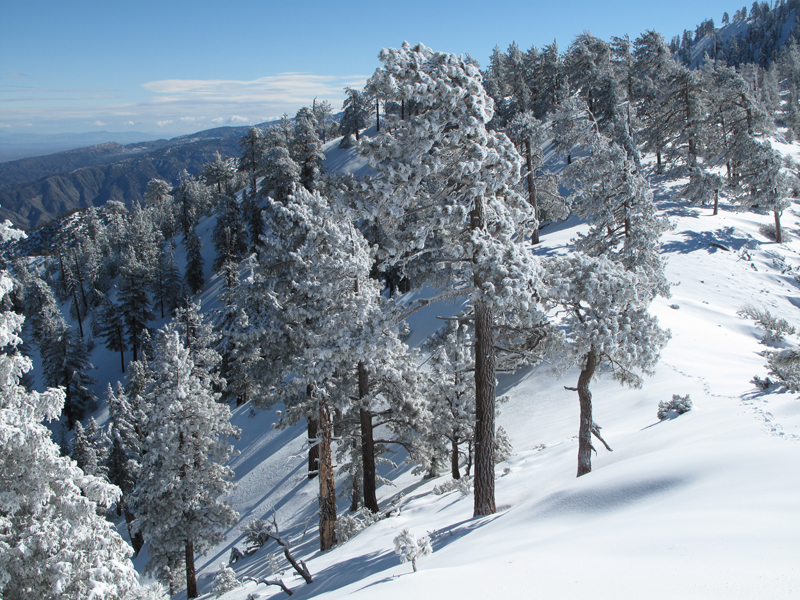
Snow encrusted trees above the Devil's Punchbowl formation.
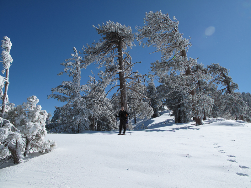
Wind blown trees before the first of Thrall's two summits.
Turtle showing these big conifers how to stand up straight.
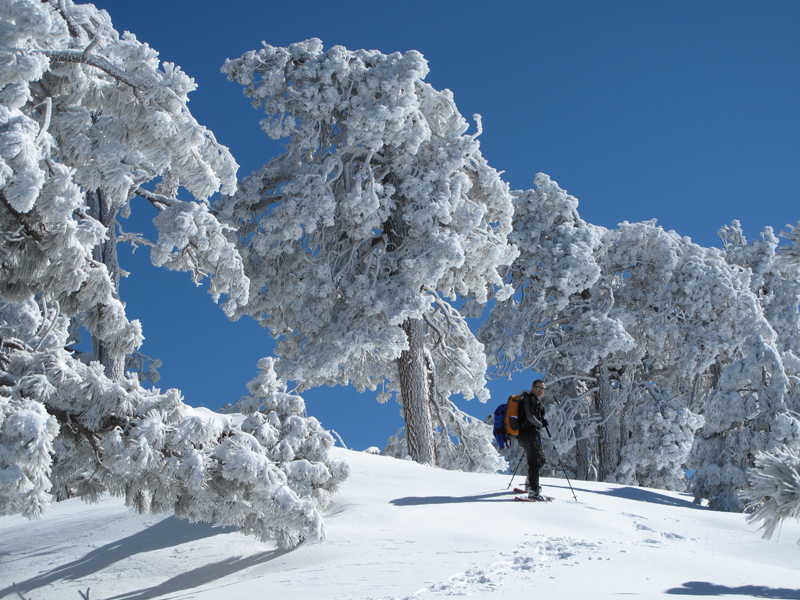
Getting closer to the summit(s), more exposure, more snow.
Relaxing on the true summit, looking towards Williamson and the Throop - Baden Powell ridge line.
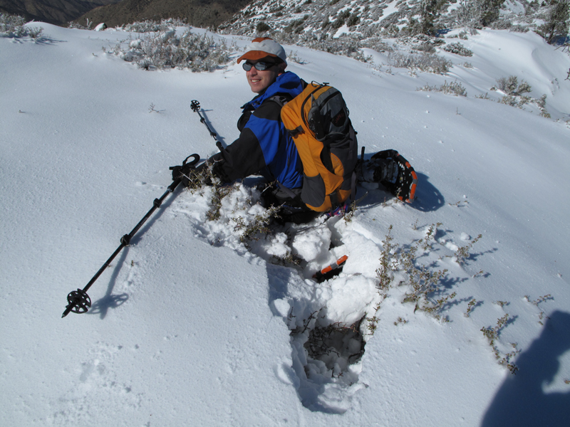
Buckthorn's revenge (not as bad as it looks though).
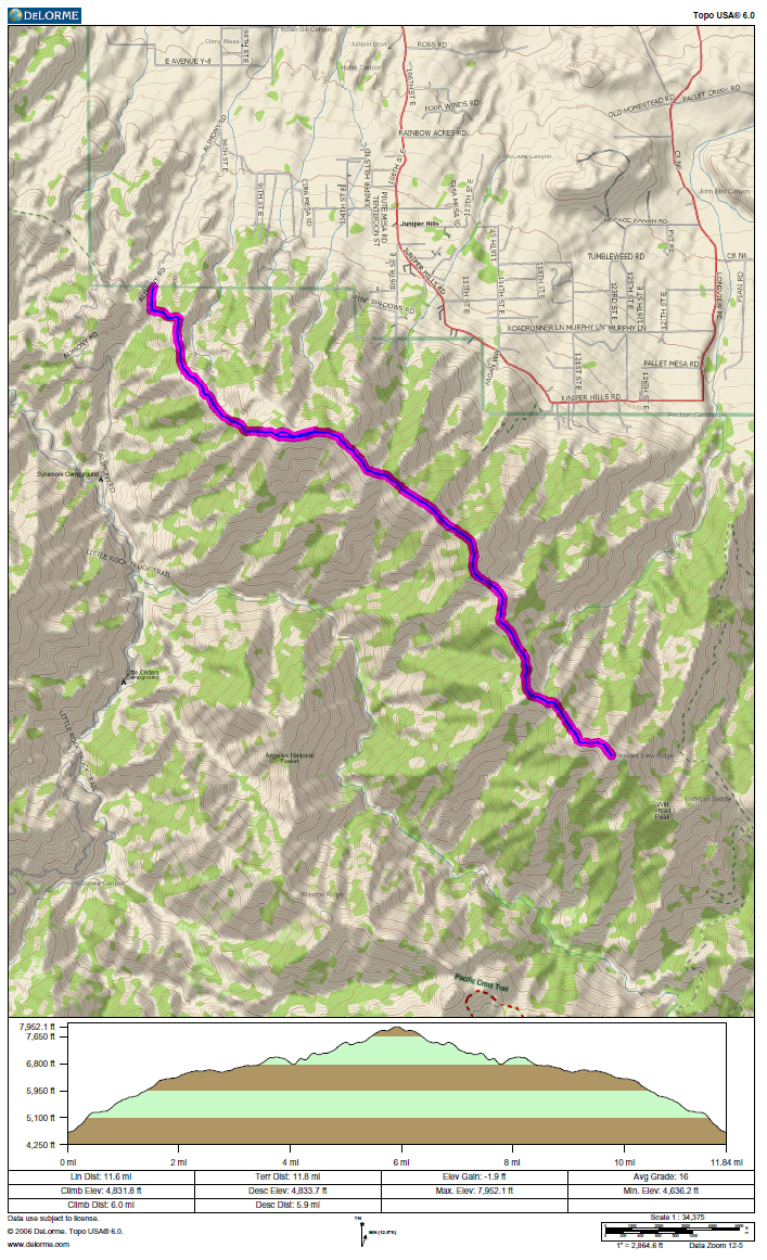
GPS Track.
