

I had seen some of Big-T to Stonyvale / La Paloma Flats but above here was new to me
Mt Lukens from the road looks bare and is like the Sword of Damocles hanging over the canyon.
As expected both sides of the road was bare earth up to Angeles Forest Highway. Some of the backside (north) of Josephine Peak was spared in spots, riding through Hidden Springs was sobering with only one building left standing.
Monte Cristo Station was spared as was Colby Ranch. Alder Creek area is a bit of the old forest. It appears barley flats was hit hard but I can't verify or vouch for the status of the site up there. Same goes with Shortcut Station
I stopped at shortcut saddle and took some photos, donned some warmer clothes and took it all in.
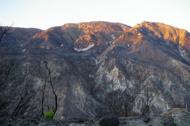
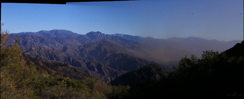
It looks to me the fire was held low on the north slopes of Mt Wilson, Vetter Mtn, Mt Sally are moonscapes
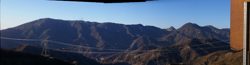
Further on I stopped at windy gap but it was hard to see anything in the haze. Chilao was mostly spared as was most of the organizational camps. The backside (north) of Waterman Mtn was mostly untouched and most of the forest along the road to Cloudburst Summit.
I turned around here as there where larger and larger patches of ice and it was quite cold on a motorcycle.
I stopped at Newcombs and had some hot chocolate, laughed with the crowd when Channel 5 had a news flash that ACH would be reopening soon....
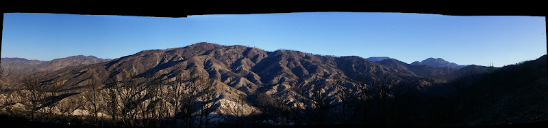
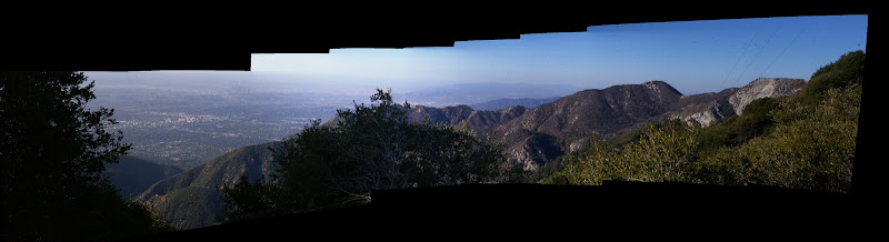
I stopped a short was from Newcombs past the Devils Cyn Trailhead to Look in Devils Canyon and Mt Mooney
It was hard to say for certain but it looks as though most if not all the Devils cyn drainage was burned, the haze was tough to see through. Mt Mooney was spotty so there may stlll be some hope for some parts of Waterman Mtn on the South Side.
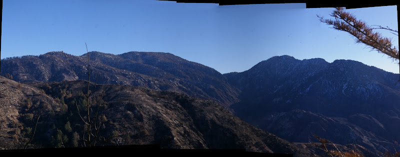
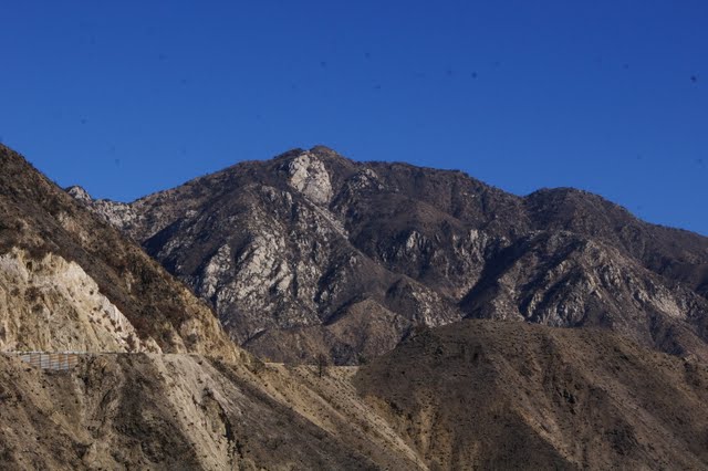
I then rode over to Mt Wilson and rode up to the summit Stopping at Eaton Saddle, My stop confirmed my supposition the the fire was held mostly low on Mt Wilson's north flank, Eaton Canyon was mostly untouched too. Mt Lowe and Mt Mooney where laid bare. San Gabriel Peak was about 50% burned over.
Mt disappointment had spotty fire damage, I'd imagined laid bare like Mt Lowe.
It was impossible to make out anything over toward Clamshell and Monrovia Peaks.
The Arroyo Seco Drainage is laid bare from Red Box to JPL.
I looked up Colby Cyn on the way by and it is barren
I stopped at Casada Cyn to look for shines on the mountain side...No luck here
I stopped several time on ACH along the Arroyo Seco and was accosted by news vans from KABC & KTTV while scouting some possible canyons
Oh well...It is what it is, my grandsons will get to see it as it was someday...
Bushwhacking won't be as much as a chore for some time can't wait to get out there
Tons of photos here
http://picasaweb.google.com/mattmaxon20 ... HReopening#


