PCT from Soledad to Mount Gleason

TRs for the San Gabriel Mountains.
Post Reply
User avatar
Elwood
Posts: 612
Joined: Fri Aug 15, 2008 5:23 pm

Post by Elwood »

My evil twin Jake wanted to take a longish hike on Saturday, perhaps documenting damage from the Station Fire around the Pacific Crest Trail south of Acton. He mentions that that though passable, the trail suffers from cover by slides, small rocks, charred timber and leaf litter. He very reluctantly suggests that it be left untraveled until the hillsides stabilize and the trail is restored. Note that he is the furthest thing possible from a Forest Service shill and genuinely concerned for the safety of other hikers. After seeing his pictures, I am more conflicted than ever regarding the natural, rejuvenating effects of forest fires, and how a small fire behind Angeles Crest Station was allowed to destroy so much of our wilderness.

Image
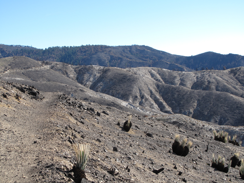
Acton Fire PCT burn area, photographed on March 29 2008.

Image
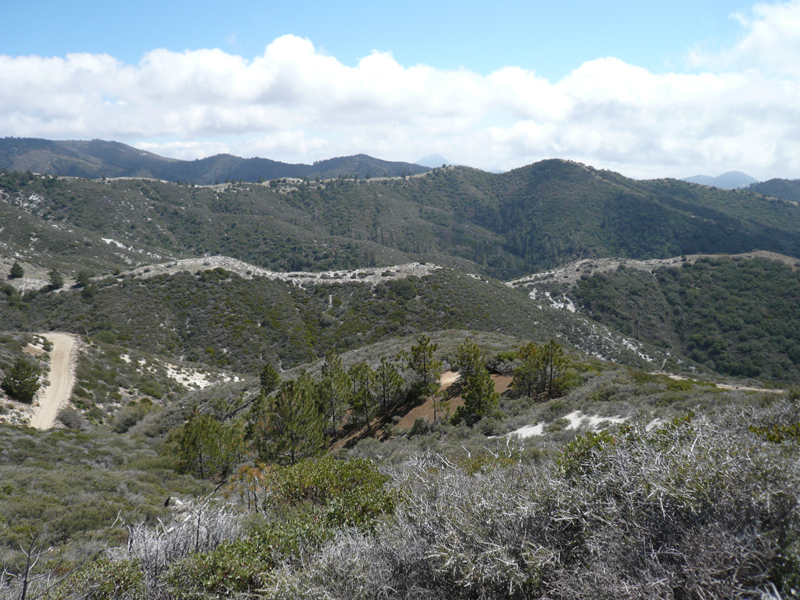
The same area, this past Saturday (~27 months of recovery).
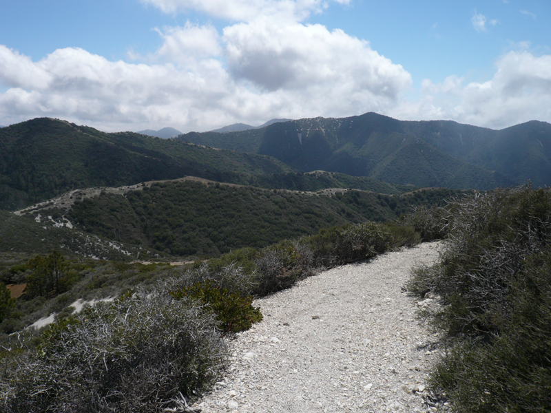
Image
The Three Sisters.

Image
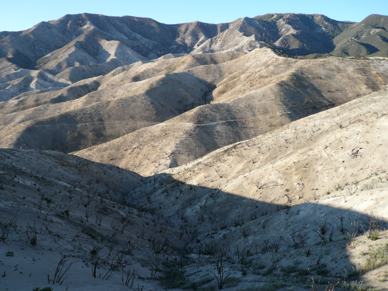
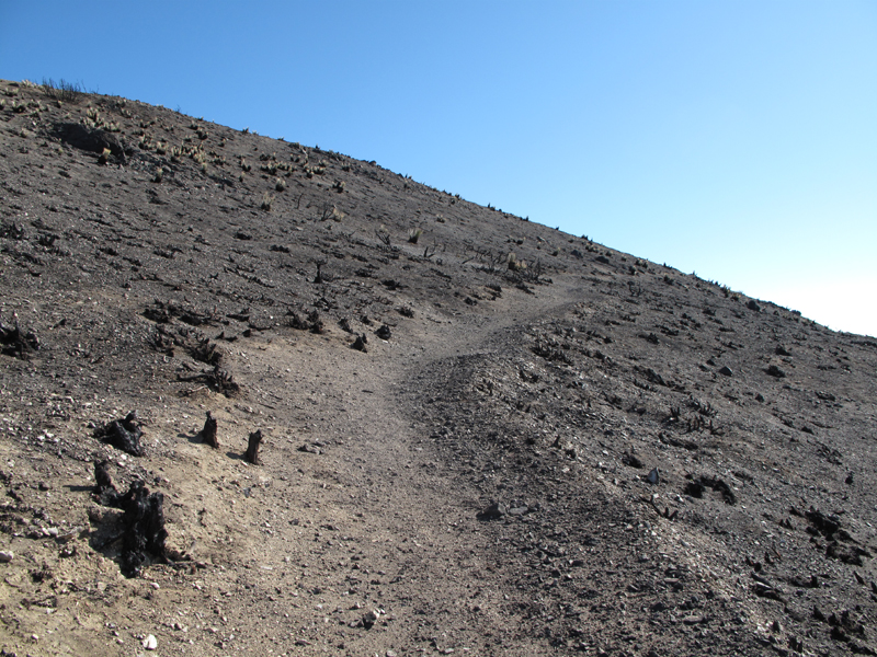
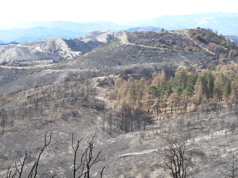
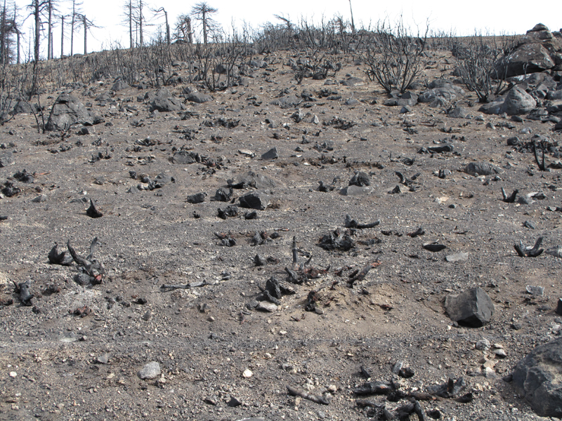
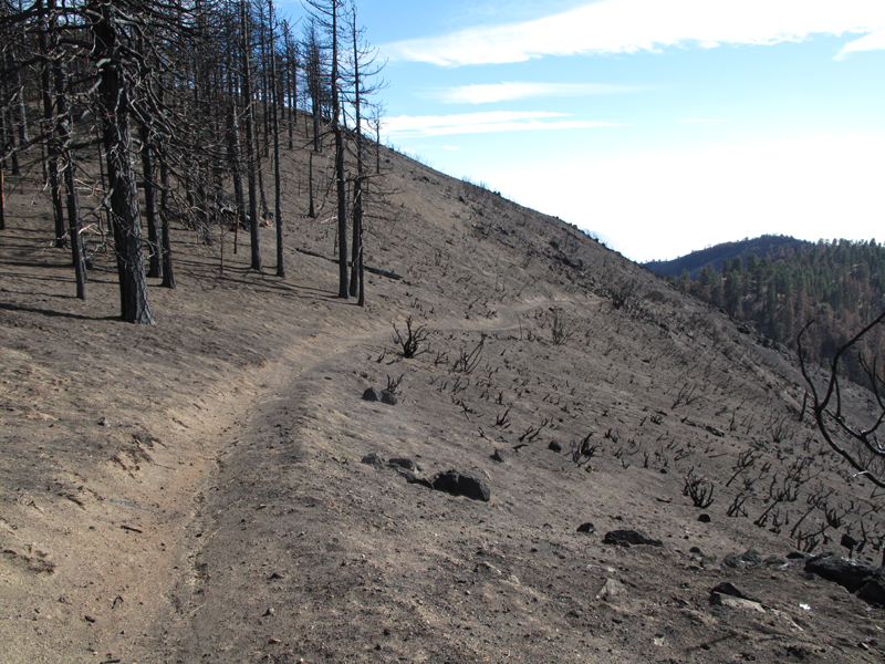
General condition of the PCT above Mill Canyon as a result of the Station Burn.

Image
It's like this from canyon bottom to top.

Image
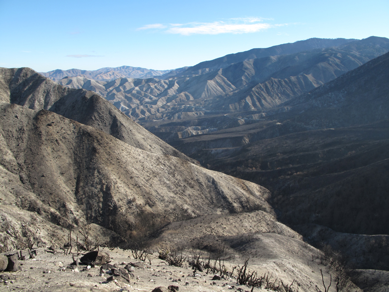
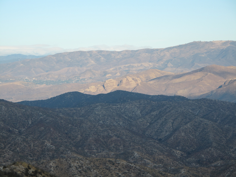
The view down canyon.

Image
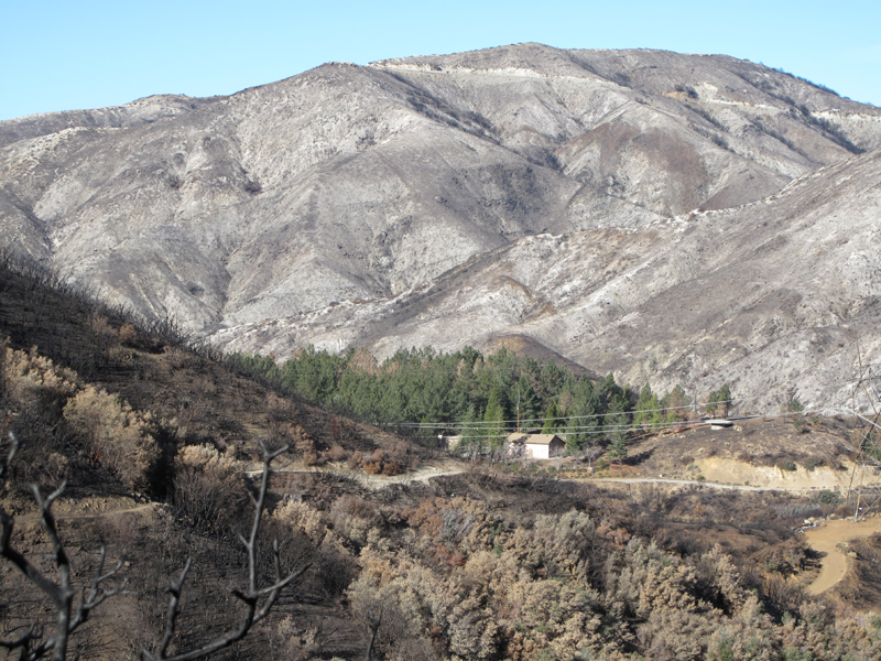
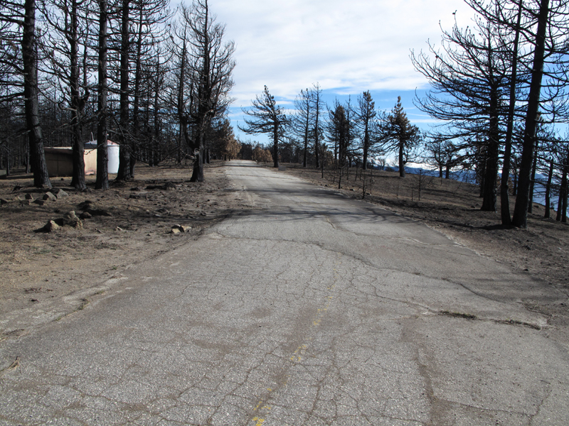
North Fork Station and Picnic Areas were saved.

Image
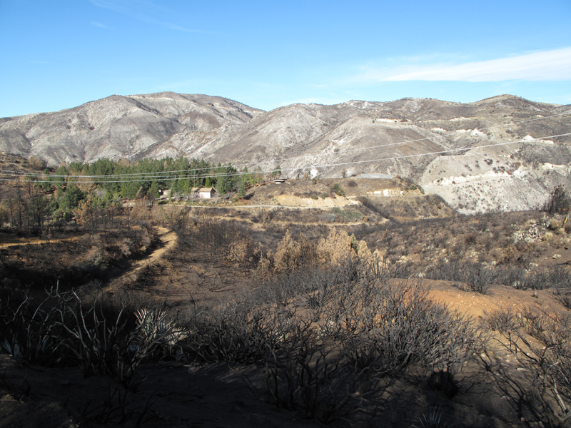
The surrounding area, not so much.

Image
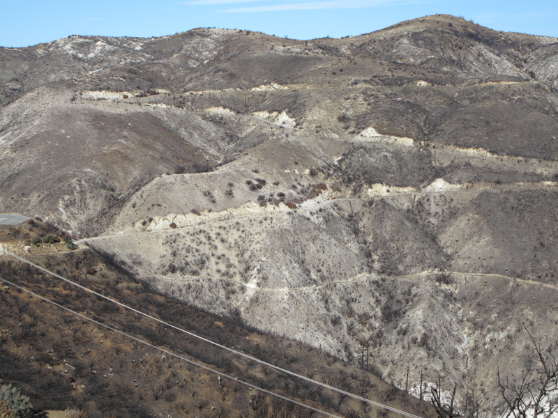
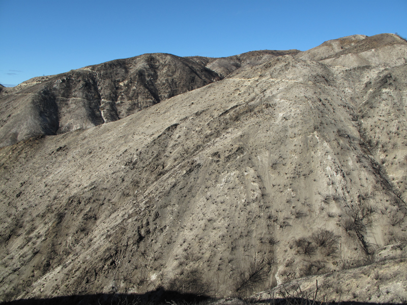
PCT and 3N17.6 below "Indian" peak (4542').

Image
Same area, March 29, 2008.

Image
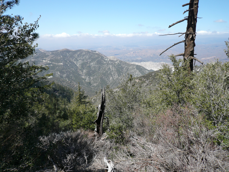
The view north from North Fork Saddle.

Image
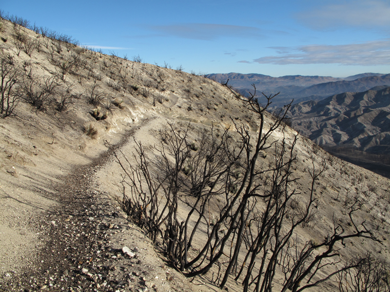
Trail and hillside condition above Iron Canyon.

Image
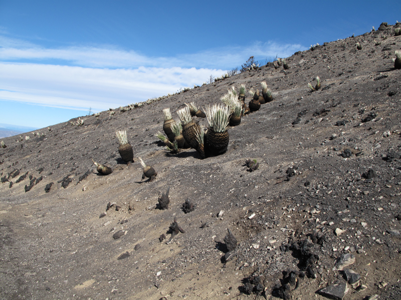
At least we'll get stabbed before we need to bash through brush.

Image
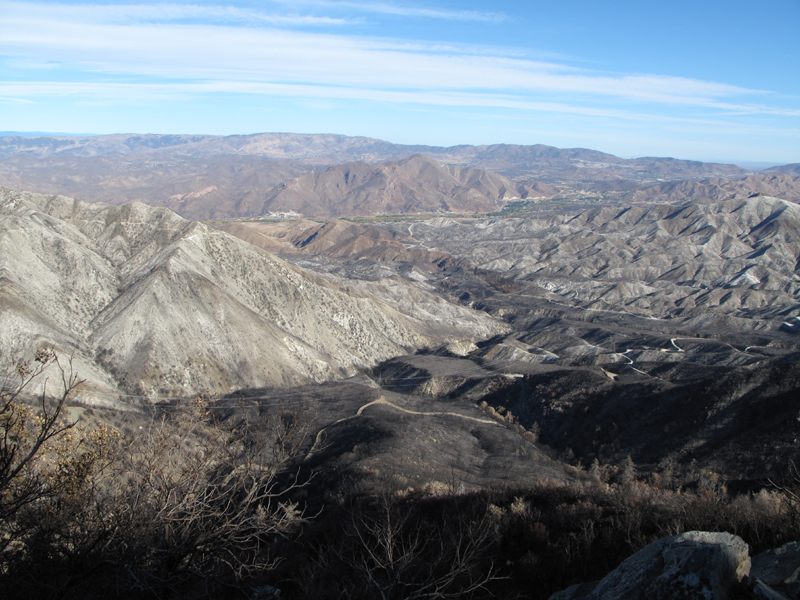
Looking towards Gleason and Lightning Point.

Image
Similar view from 3/29/2008.

Image
Messenger Flats C.G. was preserved.

Image
Indian Ben Saddle (center-left), Mendenhall Ridge Road and char-broiled Pacoima Canyon.

Image
Similar view, March 29, 2008.

Image
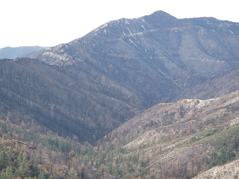
Flanks of Mount Gleason.

Image
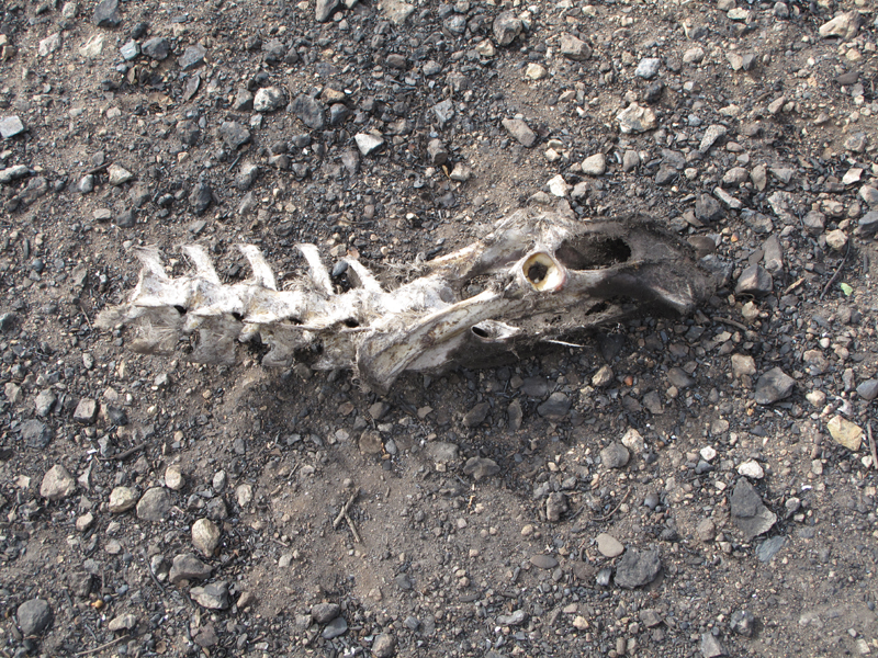
This breaks my heart; Odocoileus Hemionus (Mule Deer).

Image
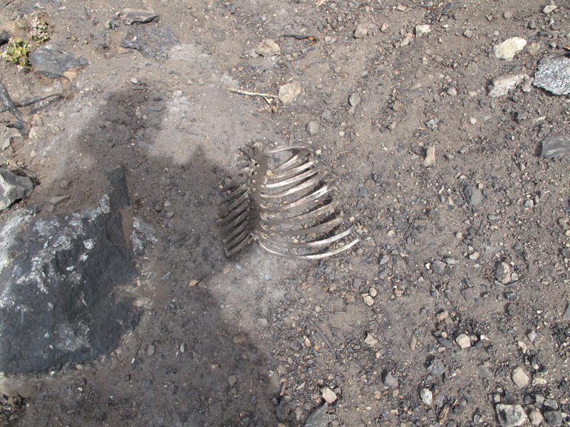
These critters didn't stand much of a chance escaping the fire.

Image
Summit of Mount Gleason (6502').

Image
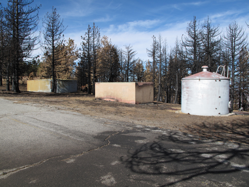
Center structure lost its roof to the fire.

Image
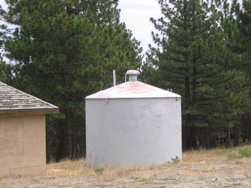
Same area, March 2008.

Image
Pacific Crest Trail, heading towards Soledad from Gleason.

Image
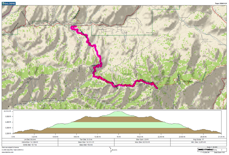
Jake's GPS track and elevation profile.
User avatar
edenooch
Posts: 504
Joined: Fri Jul 03, 2009 7:42 pm

Post by edenooch »

Wow Mt gleason is toast. It looks like afghanistan
User avatar
lilbitmo
Posts: 1092
Joined: Tue Mar 04, 2008 9:44 pm

Post by lilbitmo »

Elwood, those are great pictures, it's just hard to look at some of them :cry: but the comparison shots help people see the true effects of "fire storms". Let's hope for some great recovery, the sooner the better. There's very similar damage in the a couple of areas of the San Diego sections of the PCT from the 2002 fires. It's like walking through a "ghost town" after a nuclear detenation. :x
User avatar
EnFuego
Posts: 677
Joined: Mon Dec 15, 2008 11:14 am

Post by EnFuego »

Wow. Nice comparison shots. I had no idea it looked (or "is") that bad back there. Thanks for sharing
Post Reply