Yesterday morning I drove down to Lupine Campground and hiked down 3N39. The "trail" to Mine Gulch (8W09?) and the Sheep Mountain Wilderness boundary are just off the Cabin Flat road, near the southwest corner and the outhouse. Last time I hiked this trail, I opted for the brush-bash and scramble route. This time I dedicated the day to clearing what deadfall and overgrowth I could from the actual trail. Various map versions cite this as a Jeep/4WD trail. Very few sections are either wide or clear enough for this anymore. Once again qualifying in my rank as a space cadet, I left the GPS at home, thus I can't illustrate where the existing trail deviates from the USGS topo track. Two words of caution: Hunting season is open and there is at least one tree stand set up above this trail (don't tell the deer), also there remain plenty of old and some newly-exposed trip hazards on this route.
Prairie Fork Guard Station Site.
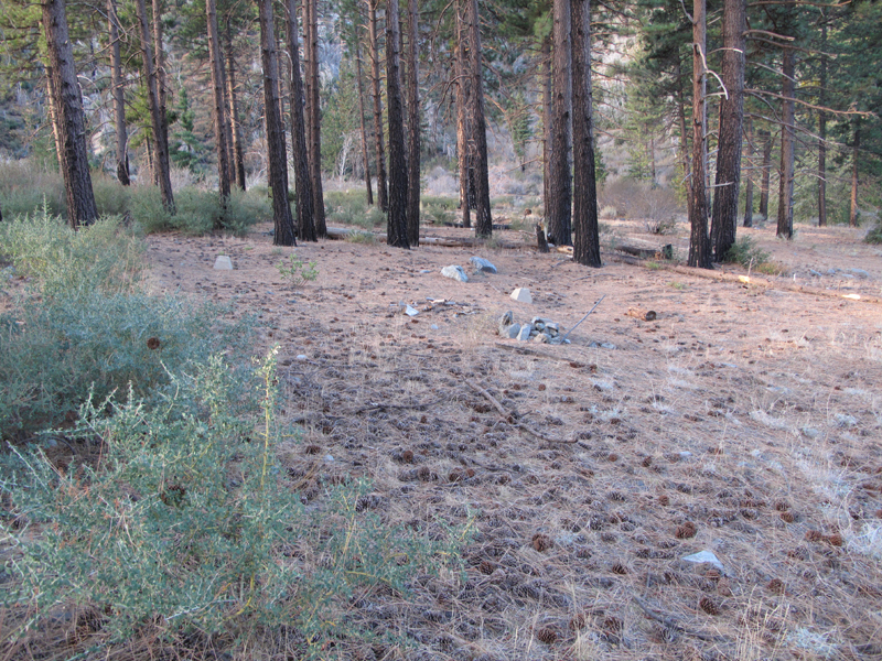
Sunrise shadow over Cabin Flat.
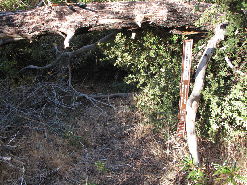
Trailhead to Mine Gulch.
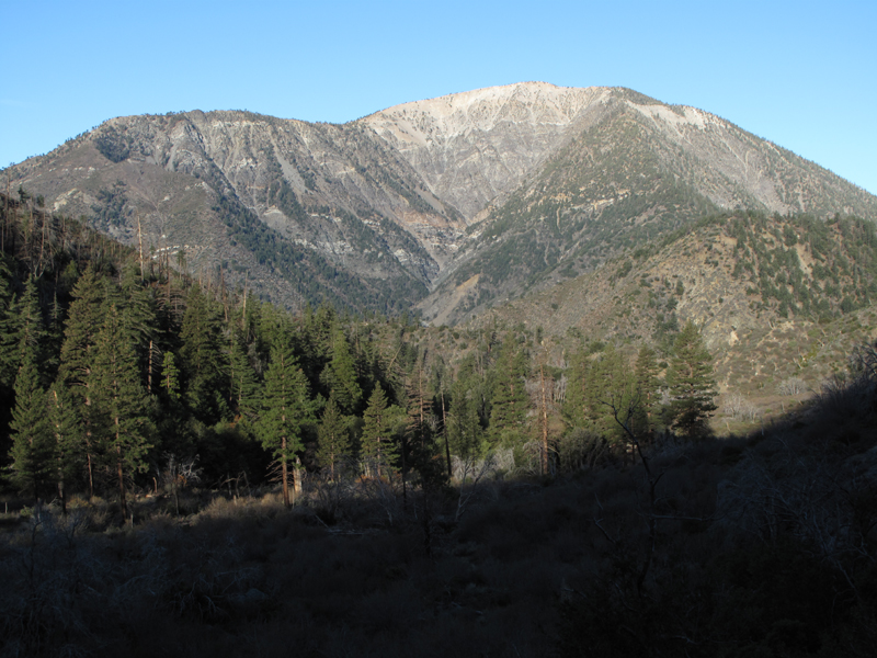
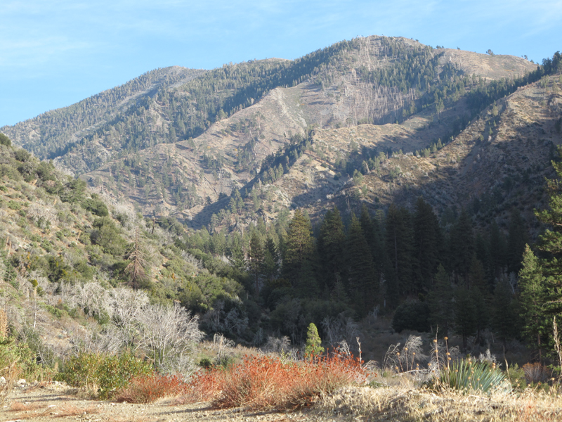
Brushy 5441 ridge between Cabin Flat and points west.
Elwood,
I was on that road last week and explored the area around Native son etc. thanks for your earlier intel. 8) Anyway, a few friends and I did the hike up from Heaton to Wrightwood last year and thrashed through the section you mentioned. We could not even begin to find the trail up from Mine gulch. We bush wacked for at least an hour before finding the remains of Cabin flat. We basically walked the creek bottom and surrounding treefall (Tarzan country ).
That's a serious project to clear that trail (chain saws, palaskis, etc.) My hats off to your efforts! Maybe we can get Damotclese and his trail builders people to give some attention to it. I'd be willing to help out.