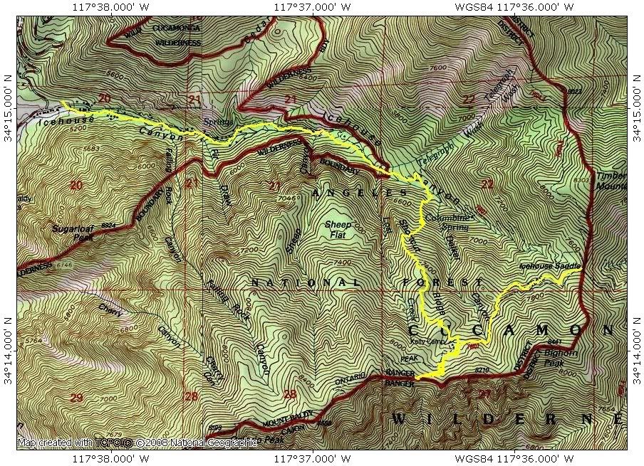
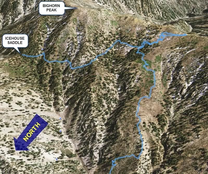
Continuing my series on random ridges, I descended one instead of climbed one this time. I hiked to Kelly Camp and then up to the Ontario-Bighorn ridge. As a proud new member of NHPS I didn't bother attempting either peak. I just sat there by the Bighorn Trail Marker and gazed down at the smog filled metropolis below. After eating some kettle popcorn and a caramel apple, I left for Shortcut Ridge. At Kelly Camp, a father and son were ahead of me and descending the normal route to Icehouse Saddle and IHC. This was a perfect test to see if I could beat them.
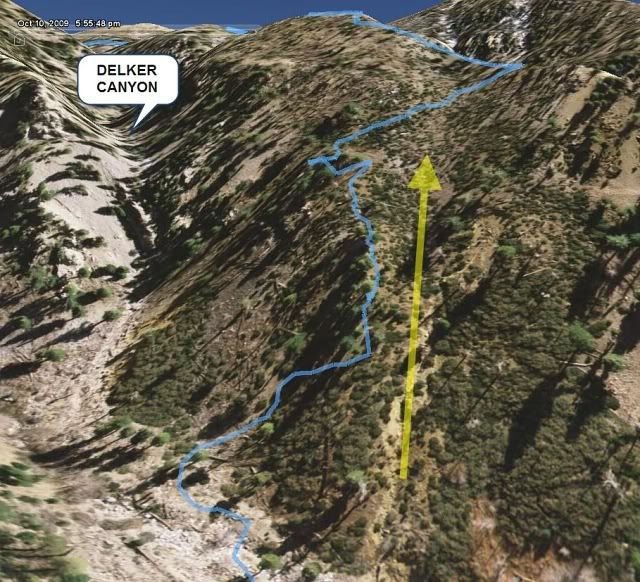
I didn't do any research on the route and was too lazy to look it up on Google Earth beforehand. I just had my GPS loaded with 20 ft topo data and my printed topo map. But on the way up the IHC trail, I did some recon and looked for the best descent route from the ridge. I spotted a fairly benign gully west of Delker Canyon. I definitely did not want to descend Delker because there was a big chockstone or something like that near the bottom.
After leaving Kelly Camp, I aimed for a flat spot on the topo but this turned out to be a huge brush field. It was like a giant maze, but eventually I made it out to a clearing. The brush was actually fairly "friendly." It was waist high dense brush, but it wasn't thorny and amazingly you could walk straight through it if you really had to. I did this once for about 20 ft but I wouldn't make a habit of it. Looking at the route now on Google Earth, I should have started higher and to the west.
The rest of the way down was straightforward. It was very steep in spots but traction was relatively good. I found several game trails near the bottom and that helped out a lot. It took a little over an hour to get to the bottom of IHC and I ended up slightly east of my intended descent gully. When I got there, I saw the father and son on the normal trail above me. I just barely beat them as I regained the trail just below the 2 mile marker. They were going kind of slow so this wasn't much of a shortcut. The route descended about 1600 ft.


Yellow arrow was my target descent gully. I veered east because straight ahead looked liked a bunch of buckthorn.

