

Apparently someone hadn't yet gotten the memo regarding the new closure order and there was a sign blocking the east PCT access from Islip Saddle to Williamson. It had been mysteriously removed by the time I descended roughly 2 hours later. One of my primary reasons for choosing this route was to attempt some pictures of the Station burn from a 'legal' distance. Haze and poor equipment choices hampered this activity somewhat.
The Pacific Crest Trail was empty from Islip Saddle, through Little Jimmy, Windy Gap, Hawkins, Throop, Burnham, B-P and Vincent Gap. There may have been folks up on Baden Powell, but I didn't stop to look (NHPS Rules!)
I was back at the Jeep ~1835 after a thoroughly enjoyable day's trek.
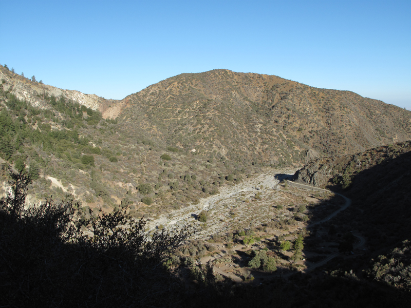
View toward Highway 2 up one of Mt. Lewis's drainages.
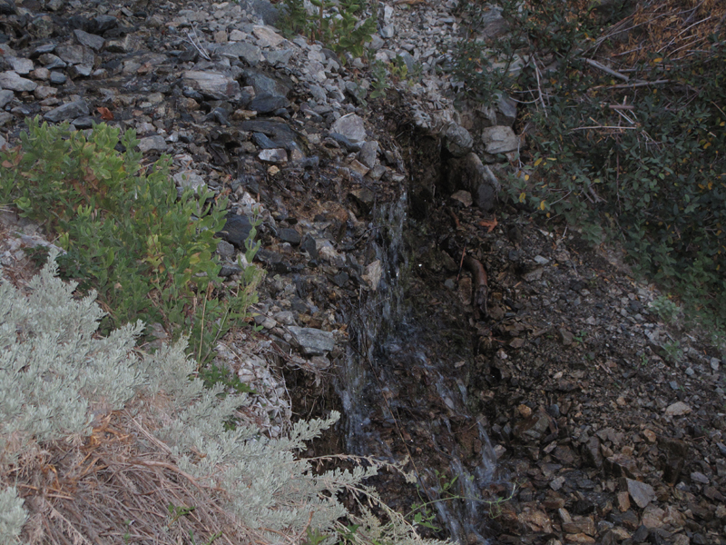
Still flowing in a dry October.
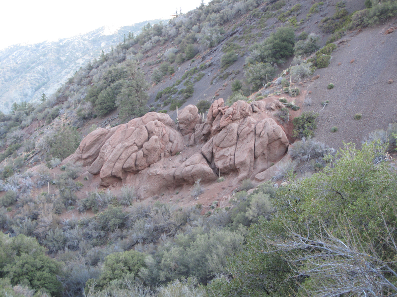
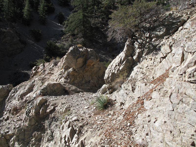
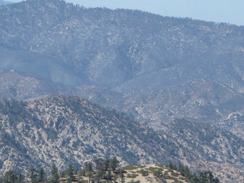
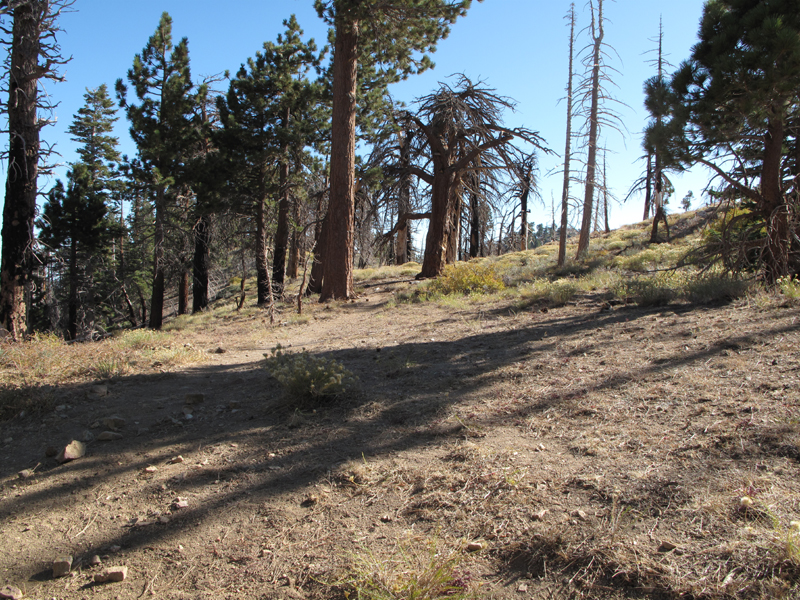
Pretty sandstone formation above the switchbacks to South Fork Campground.
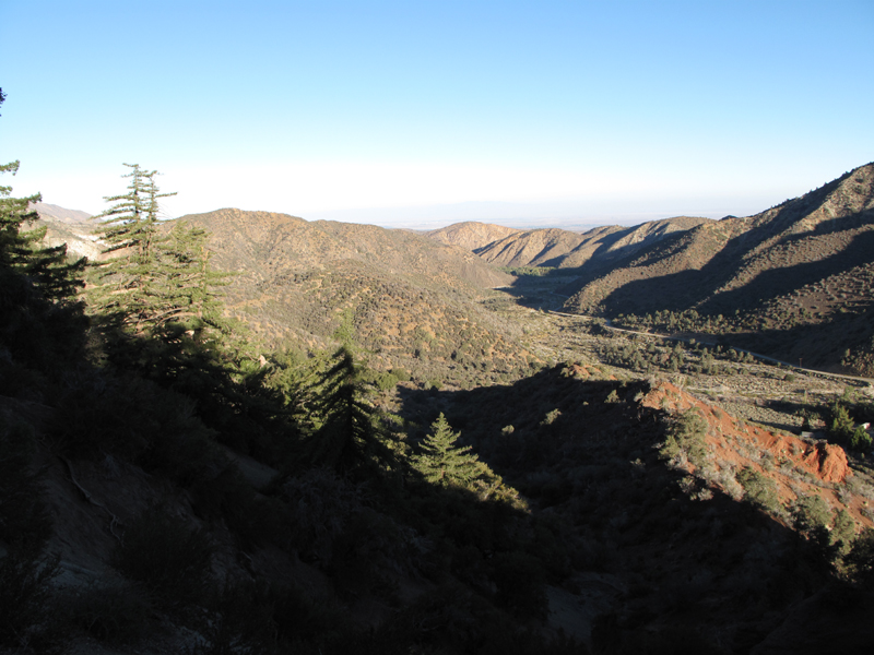
Looking westish up Big Rock Creek.
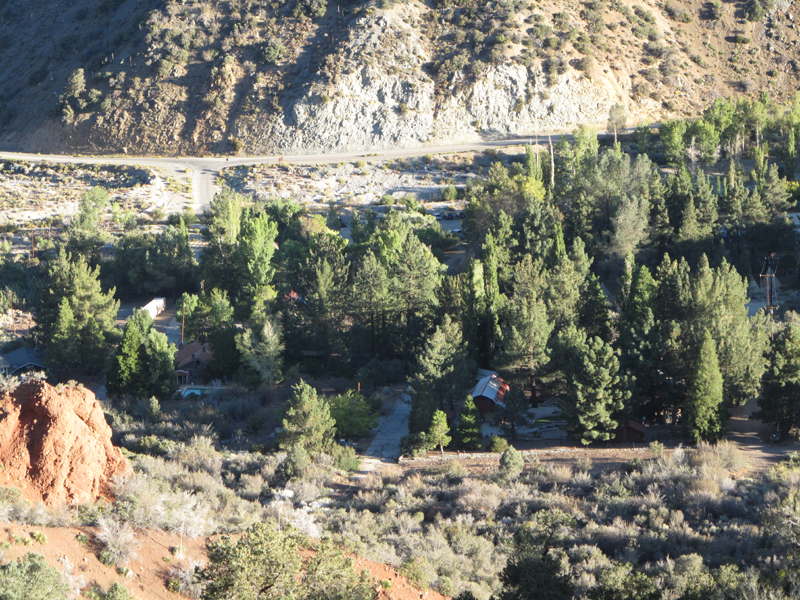
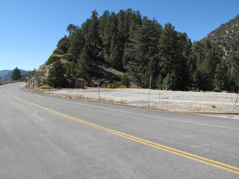
Paradise Springs compound.
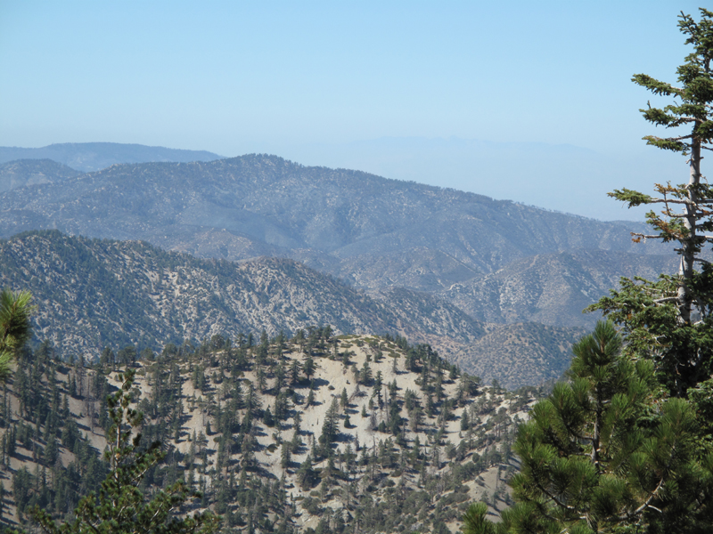
South Fork Campground and Switchbacks to Devil's Punchbowl area.
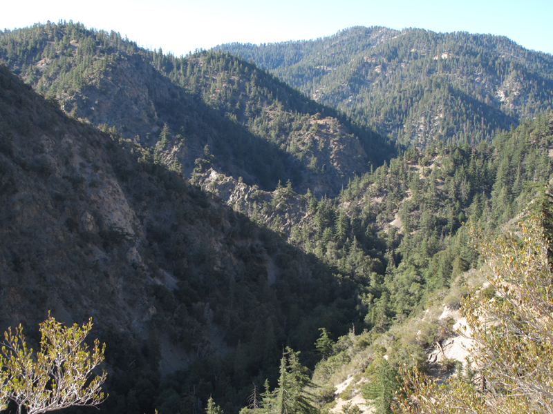
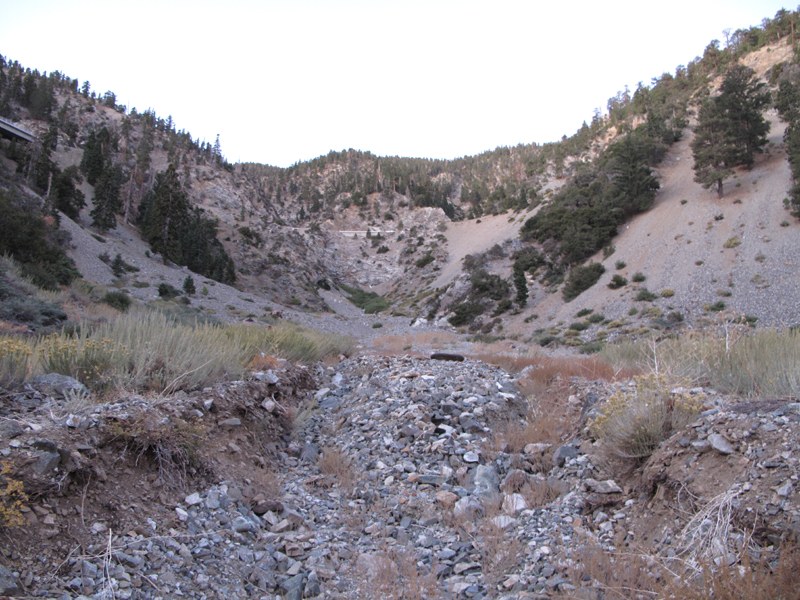
View up South Fork (Canyon?).
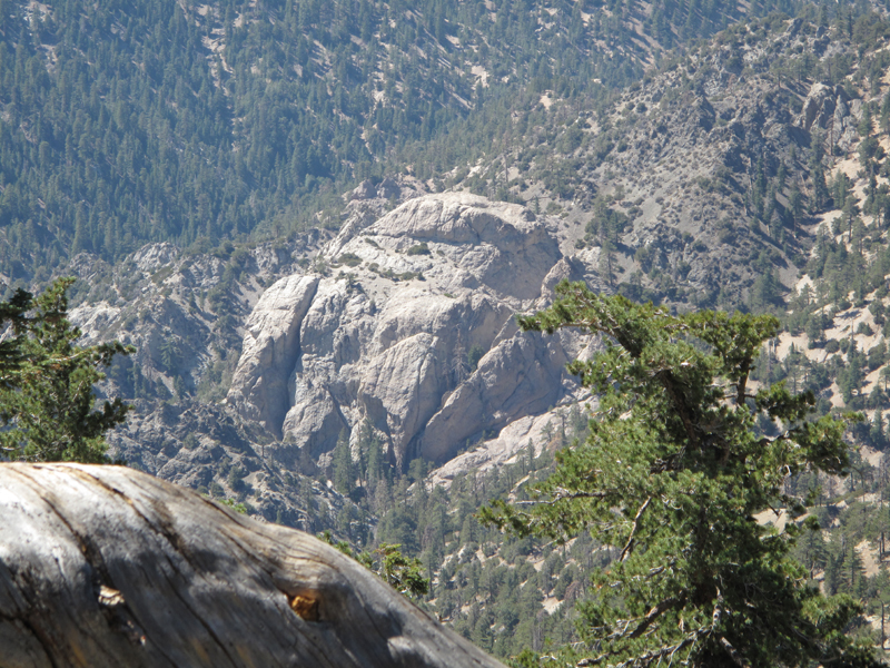
"Granite Gate" on South Fork Trail.
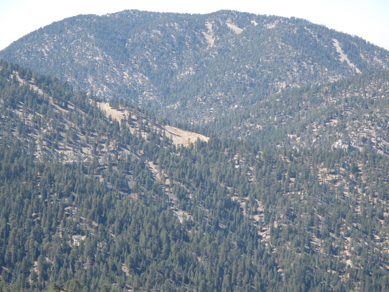
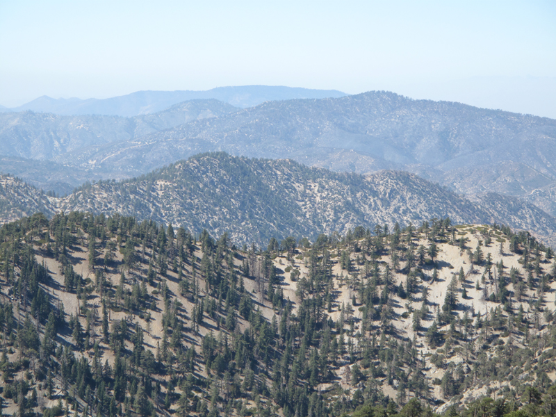
Mount Lewis as seen from the South Fork Trail.
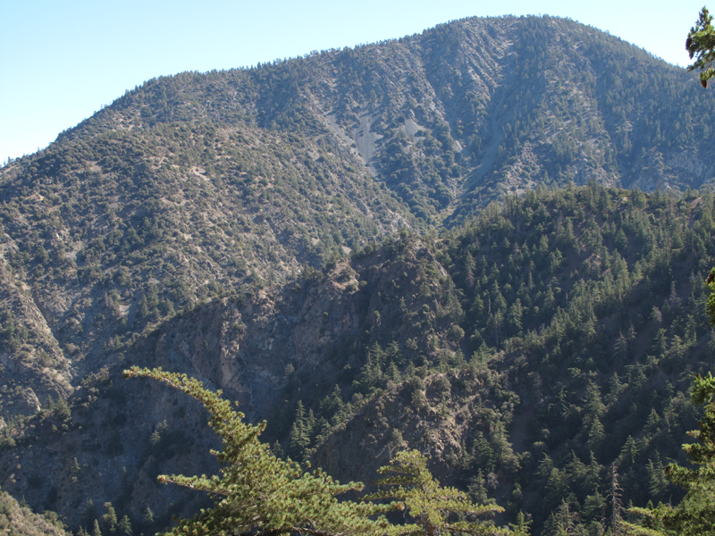
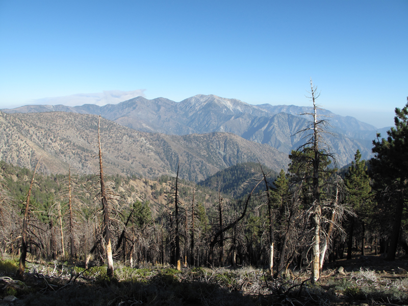
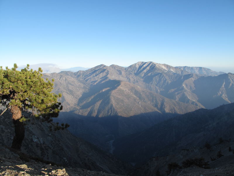
North side of Twin Peaks looks O.K. through the haze.
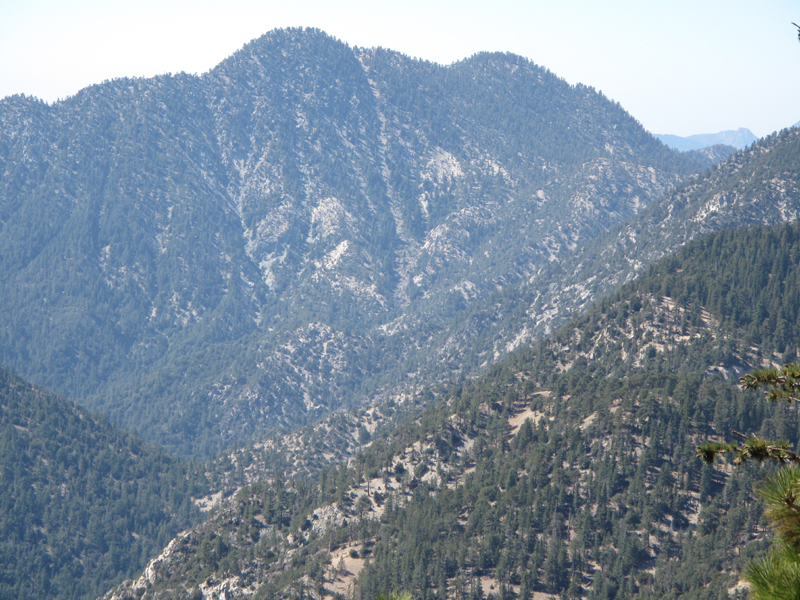
This side of Mt. Waterman looks O.K. too.
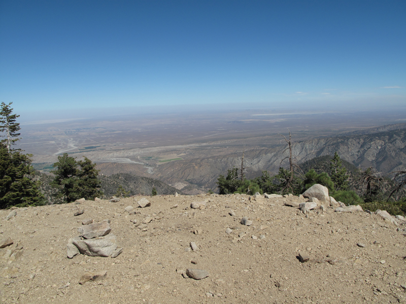
Mojave / High Desert as seen from Mt. Williamson Summit.
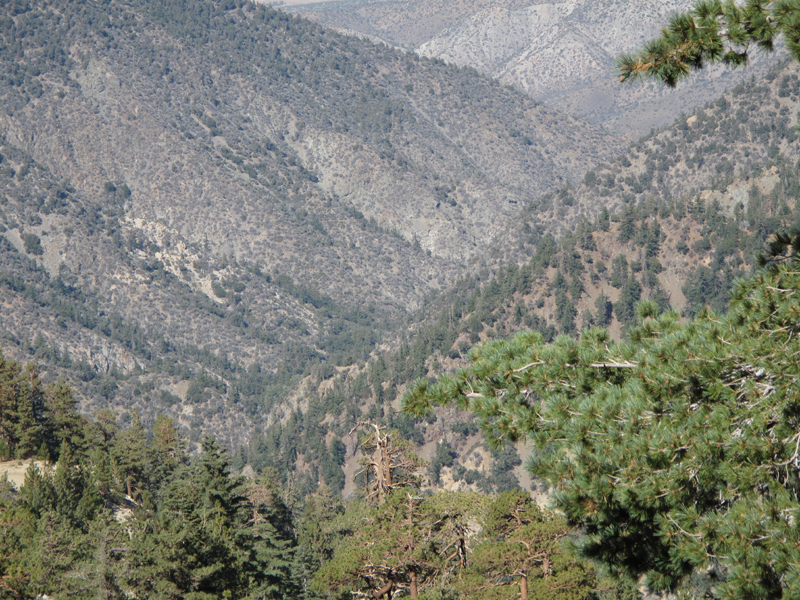
West side of Devil's Canyon looks charred; wished I'd brought a longer lens and haze filter.
Mediocre digital zoom of previous view.
Note charred face before Wilson, east and south of Devil's.
Darned frogs!
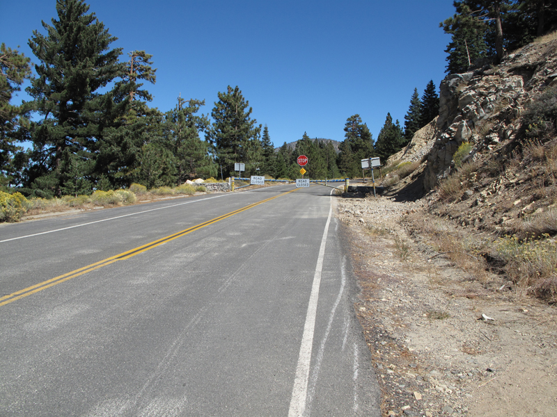
Not Again!
When's the last time we saw THIS on a Saturday afternoon?
South Fork, Big Rock Creek, seen from PCT. Who is that down there?
Hawkins' ridge at the PCT.
Remnants of the Curve Fire and BAD news over north Devil's Backbone.
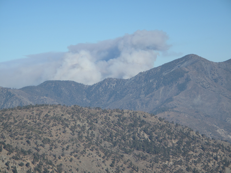
Sheep Fire smoke plume.
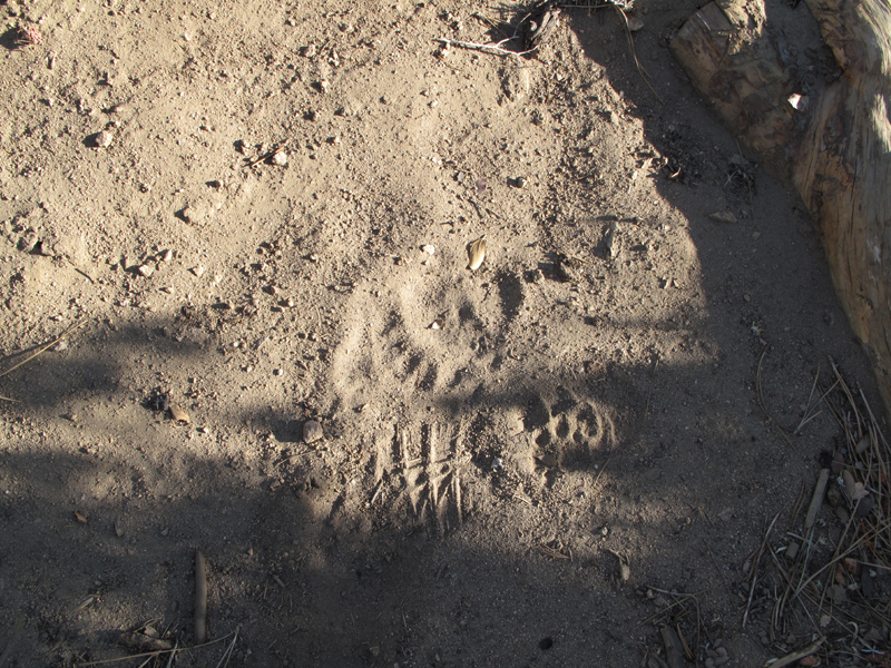
Bear track next to size 10.5 Asolo track.
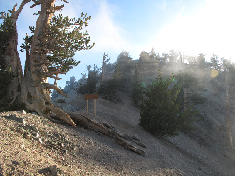
Clouds roll in near Baden-Powell summit.
Pine Mountain ridge as the sun starts down.
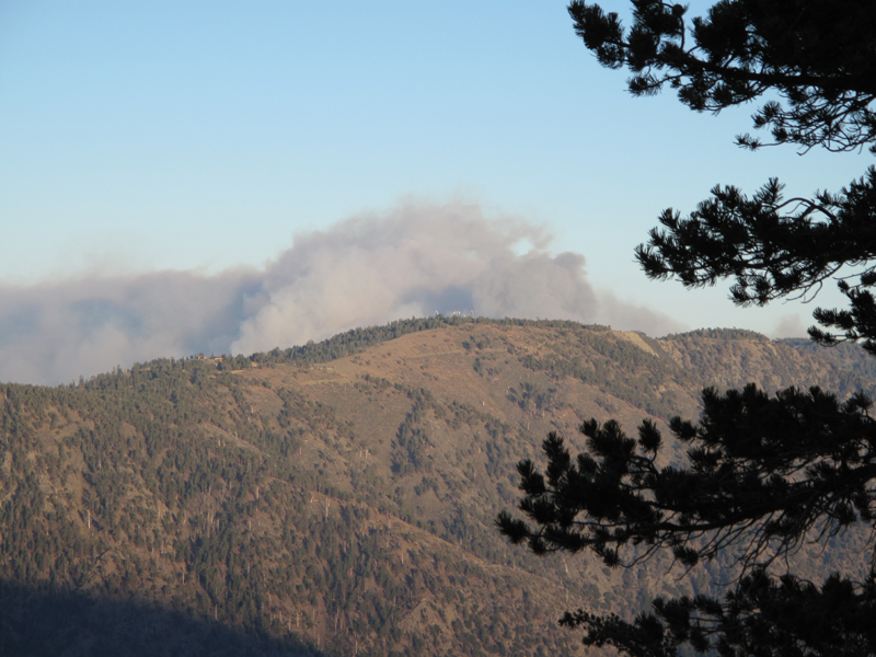
Sheep Fire smoke over Blue Ridge.
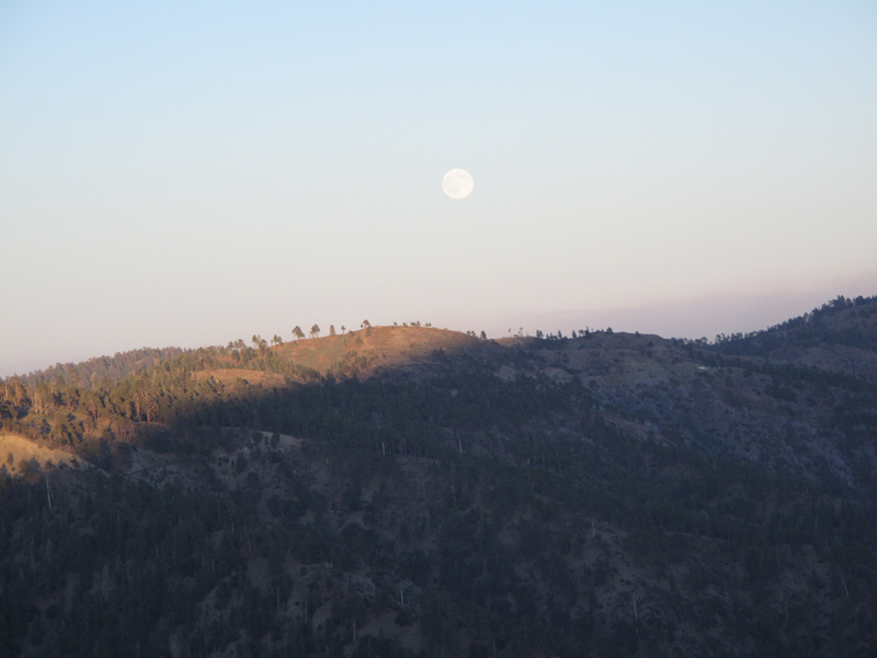
Full moon rising over Blue Ridge.
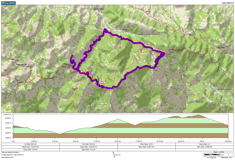
GPS track and elevation profile.
Raw GPX file from the Garmin:
http://www.electricskates.com/Pix/Other2/20091003.gpx


