

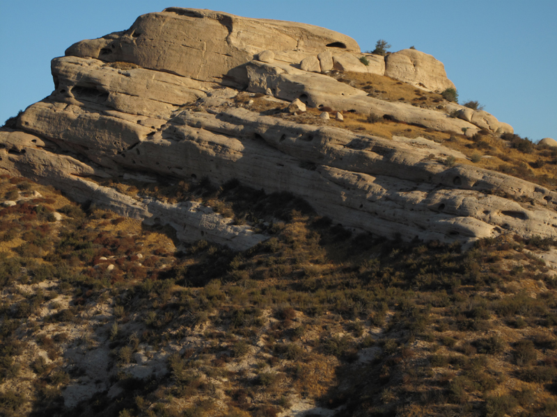
Mormon Rocks early in the morning.
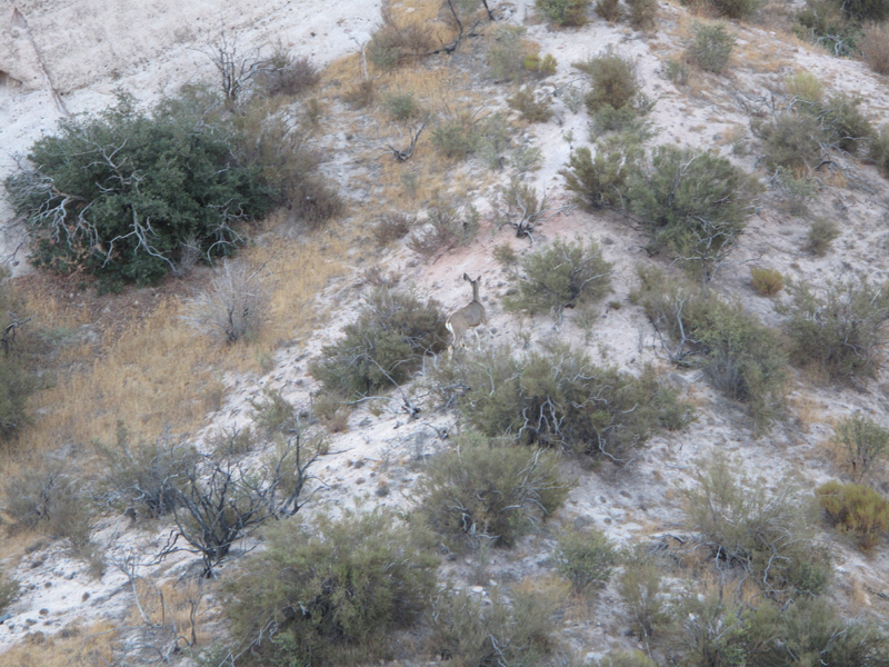
A couple of Odocoileus Hemionus went springing uphill as I passed by.
These strange brown trees grow all over this area.
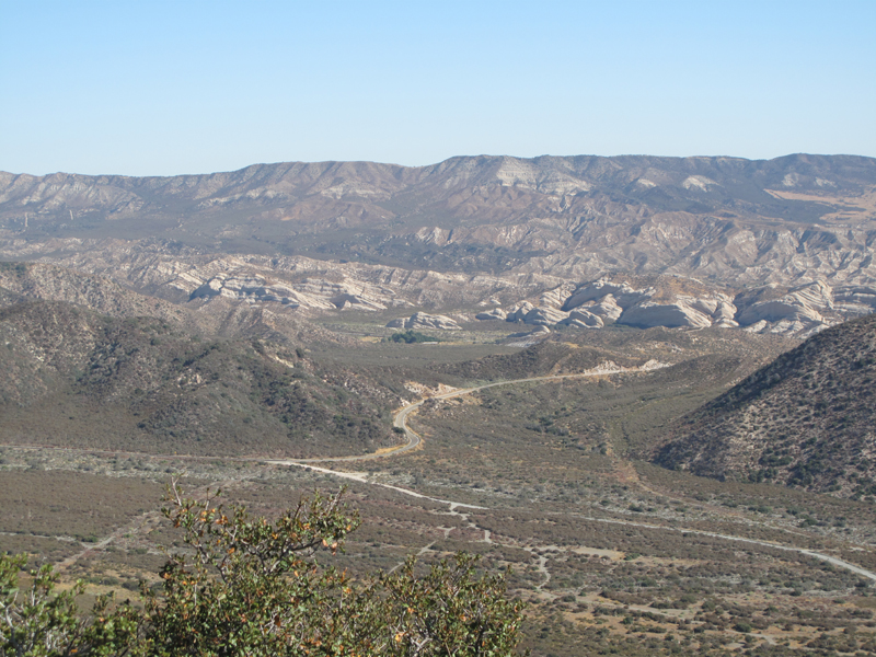
I can't even guess... down on 2N87 somewhere.
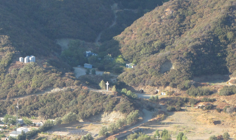
Are those storage bunkers, tunnels, or some preparation for armageddon in the hillside?
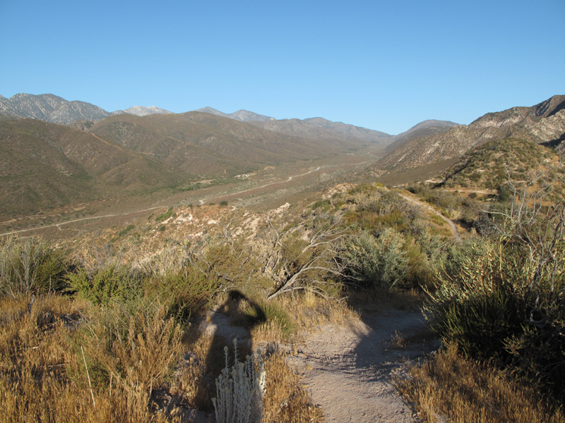
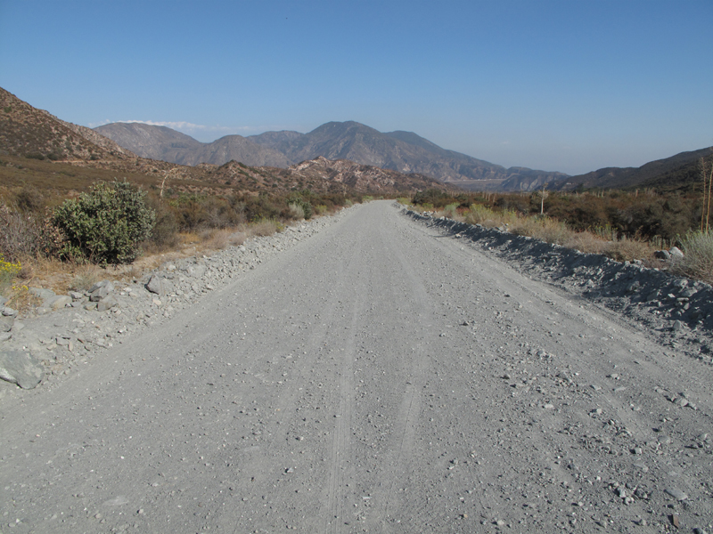
Looking WNW up Swarthout Canyon Road.
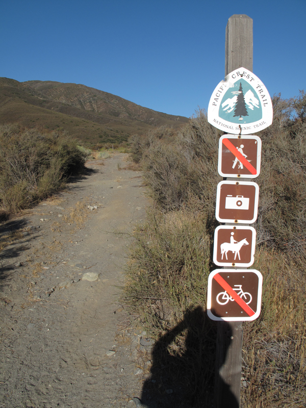
Pacific Crest Trail marker after crossing Swarthout Canyon Road.
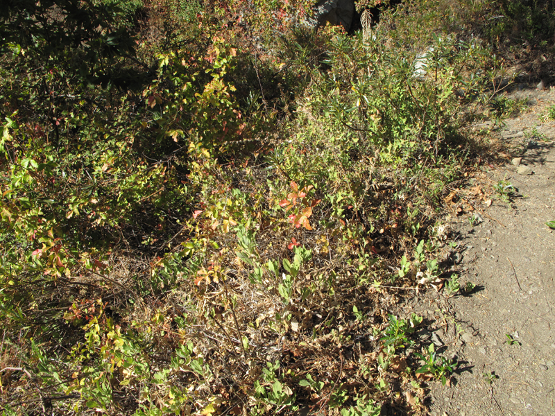
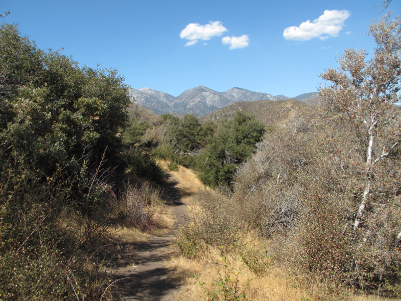
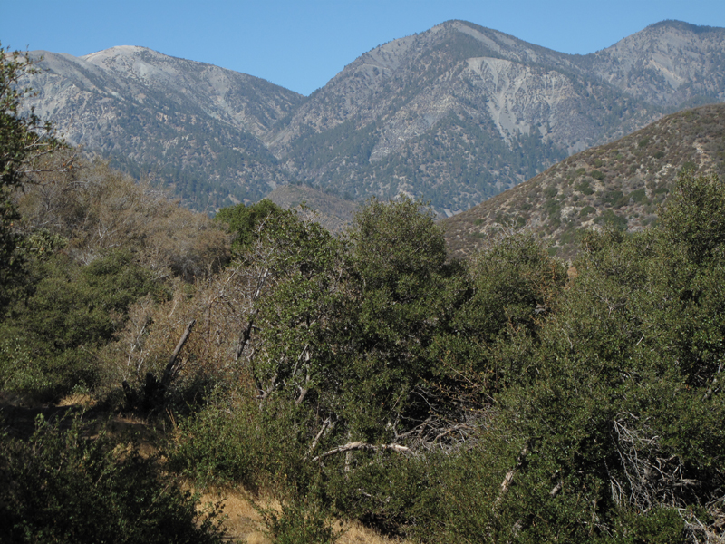
What would a hike in the San Gabriels be without this fine foliage?
Junction of Lone Pine Canyon Road and Swarthout Canyon Road.
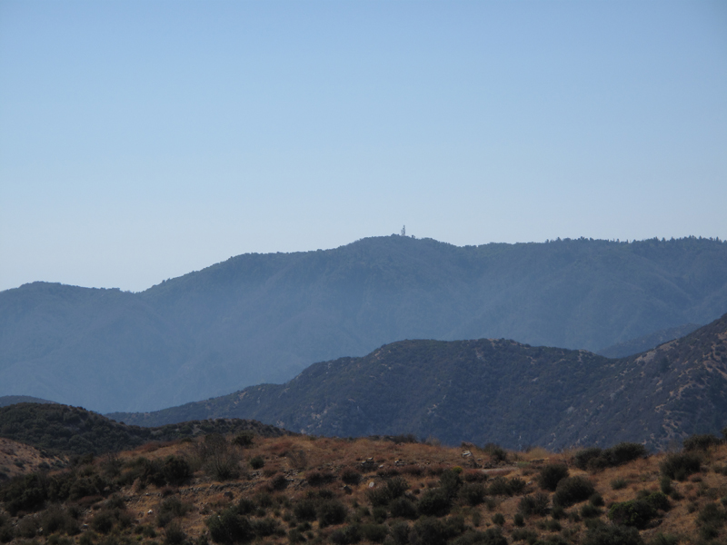
Lookout and relay tower near San Sevaine flat.
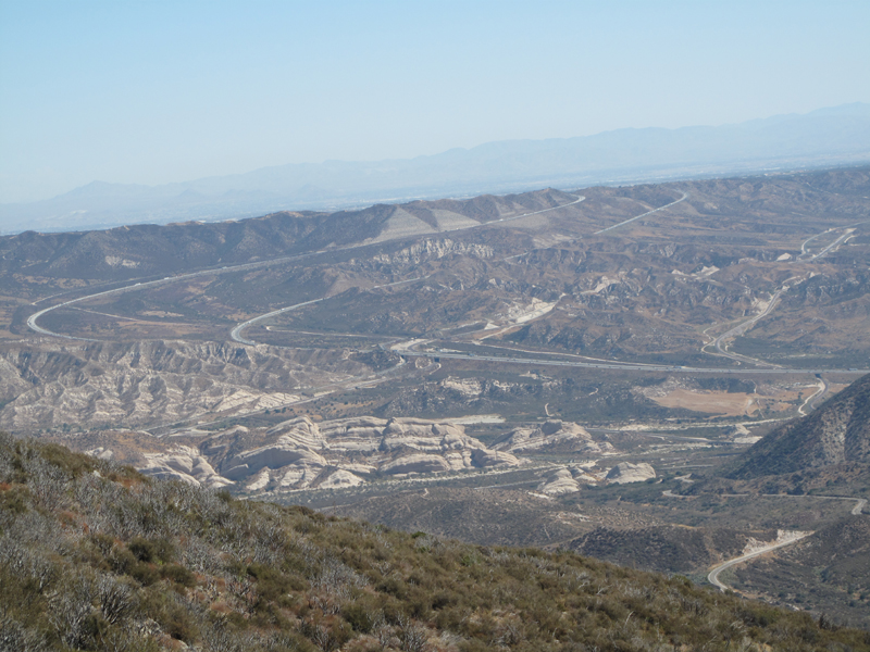
The big sweep in I-15 past Cajon Junction.
The north Devil's Backbone seen from the PCT.
Tighter view of north Devil's Backbone (Baldy, Dawson, Pine).
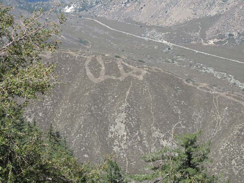
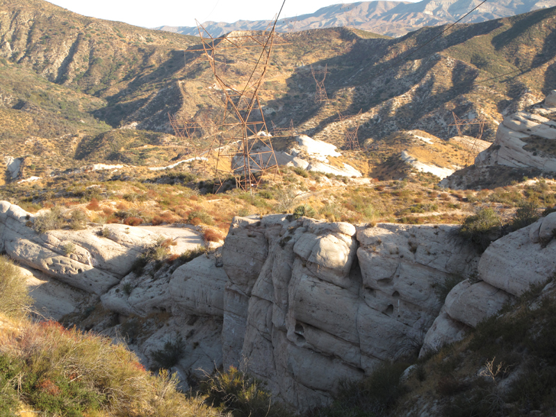
We are not alone, or firebreaks gone wild.
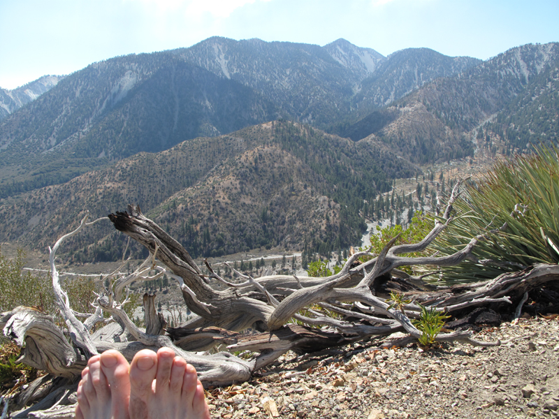
Relaxing on the 6410' ridge ~ .65 miles SE of Gobbler's Knob.
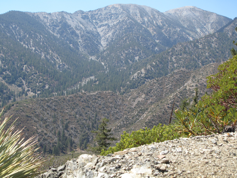
South Devil's Backbone overlooking infamous survival training camp.

Ralston Peak from up high on the PCT.
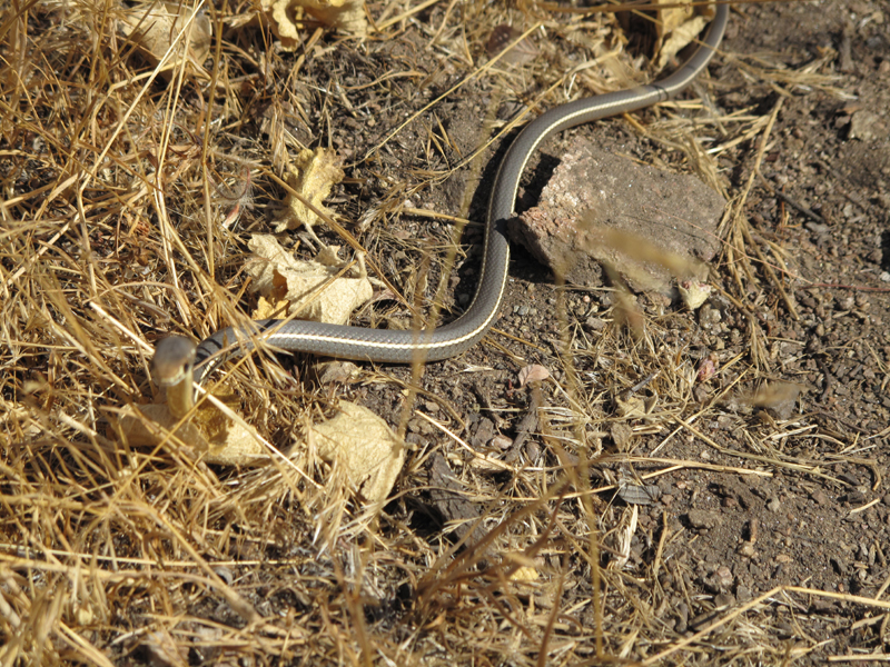
Juvenile C. L. Lateralis or ?
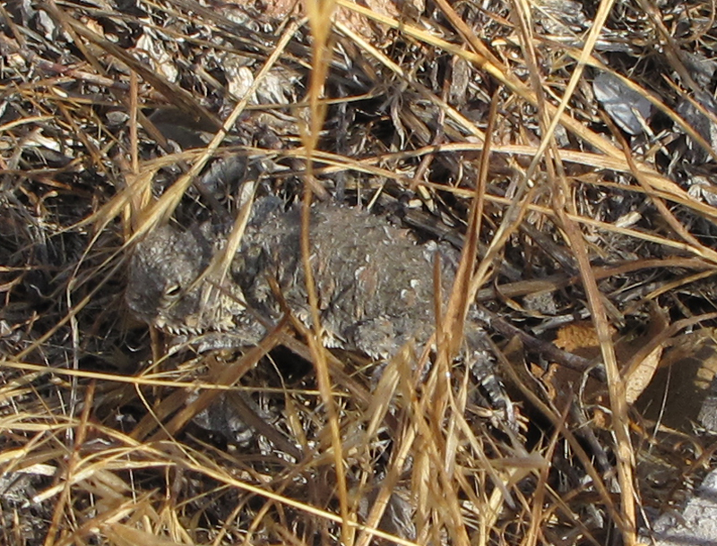
Juvenile Phrynosoma. The cutest horned lizard I've seen to date.
Pacific Crest Trail meets 3N29.
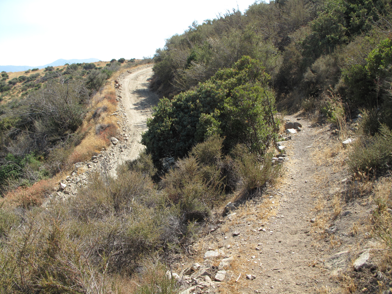
The bustling freeway that is Swarthout Canyon Road.
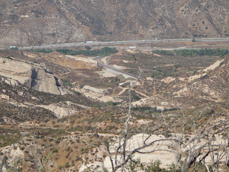
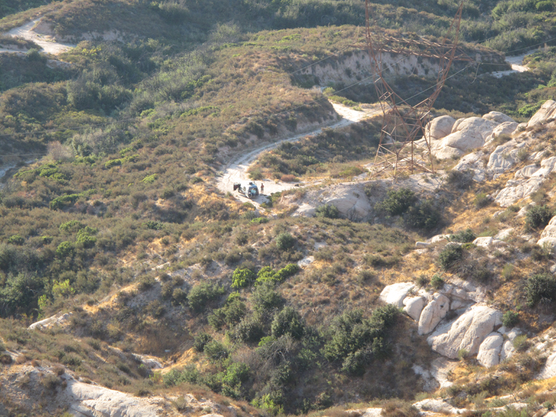
My Jeep is the tiny green speck on the clearing, left of the train tracks.
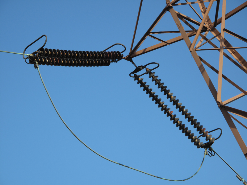
Suspension insulator strings, aeolian dampers and corona rings for those of us interested in power transmission.
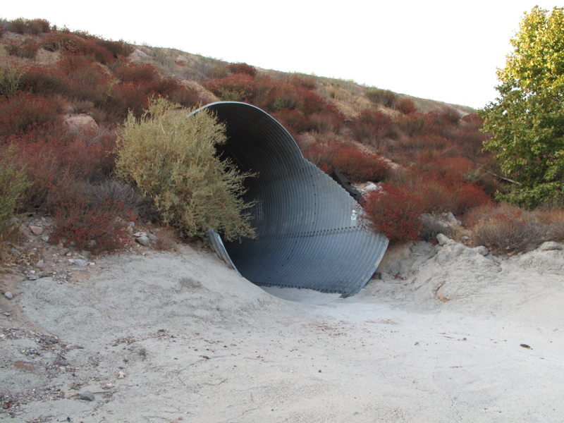
Steel culvert that carries PCT under BNSF tracks.
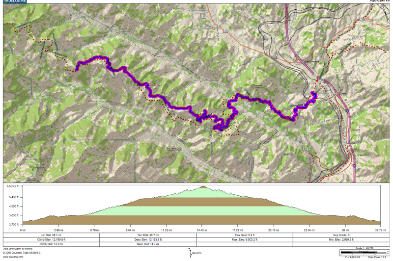
GPS track and elevation profile; I'm skeptical about the cumulative elevation gain.


