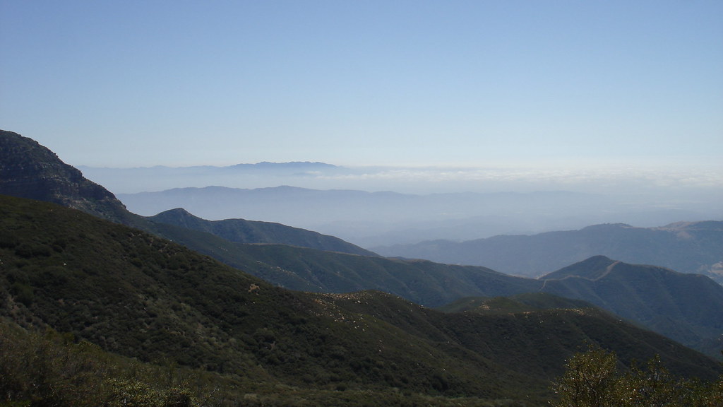
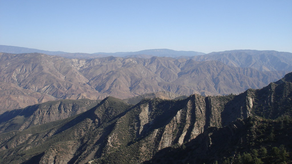
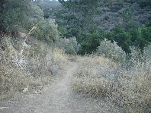
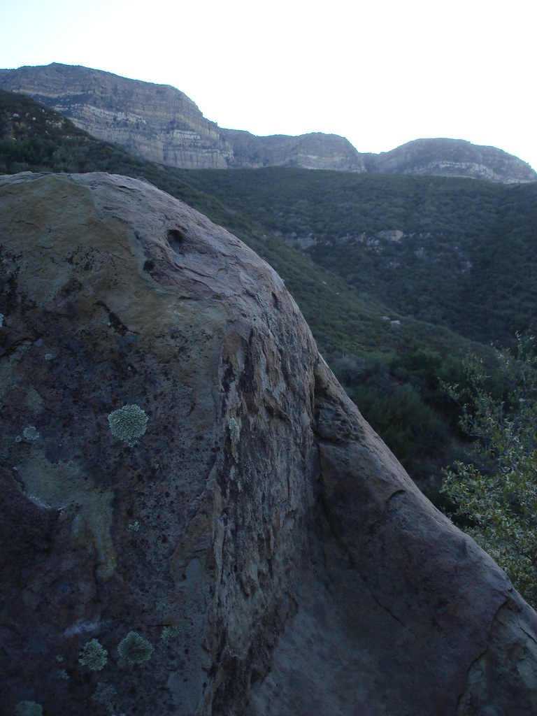
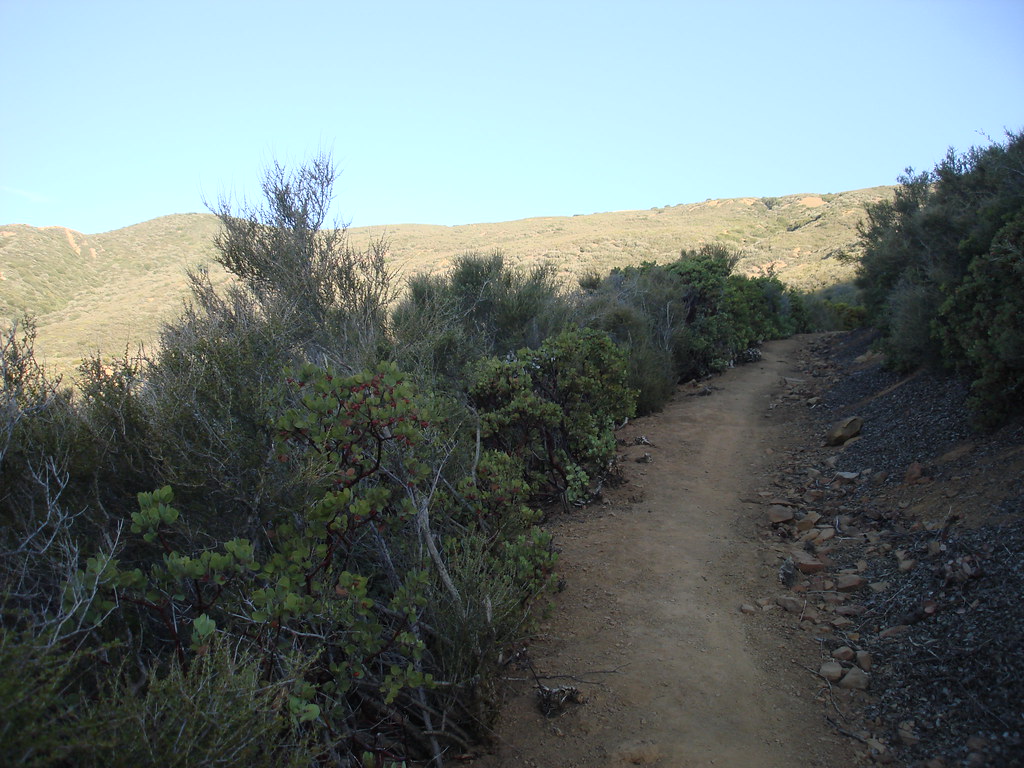
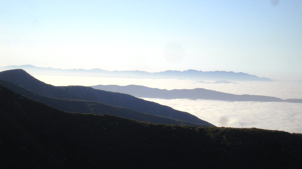
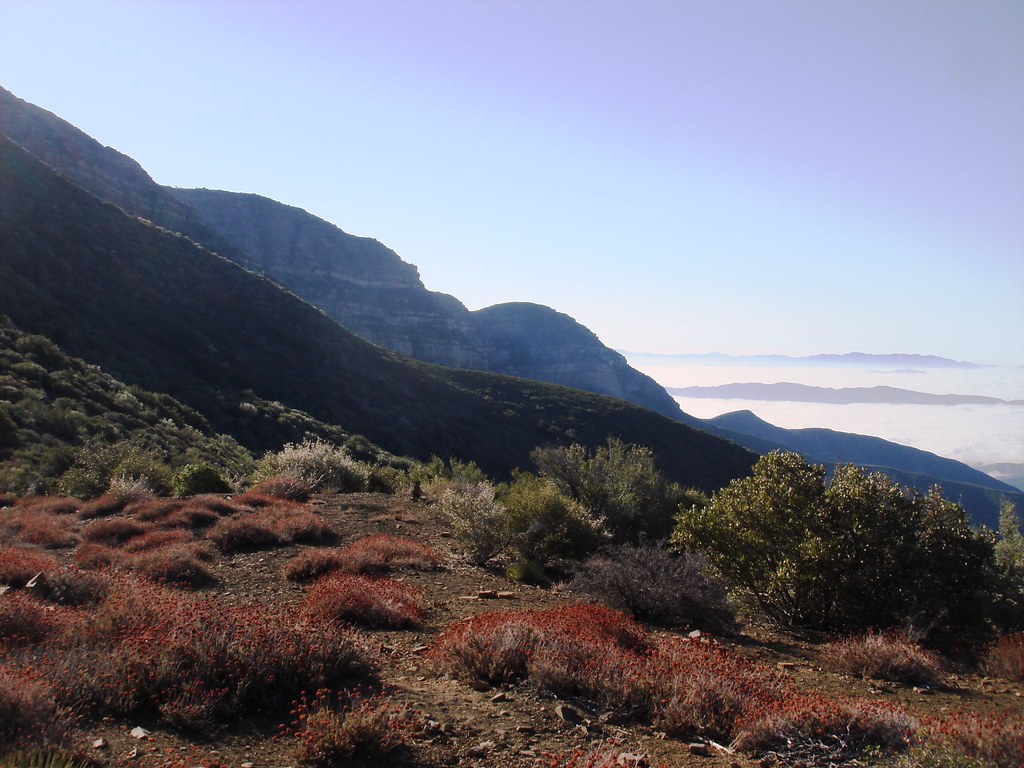
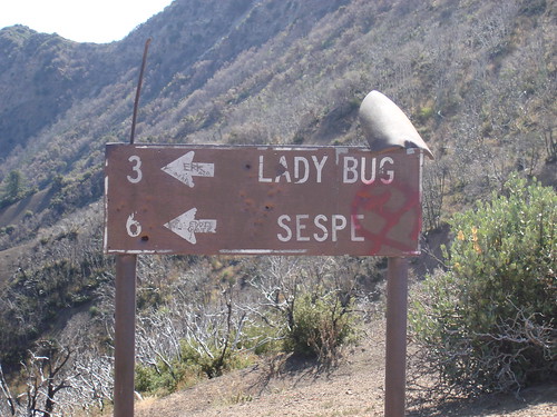
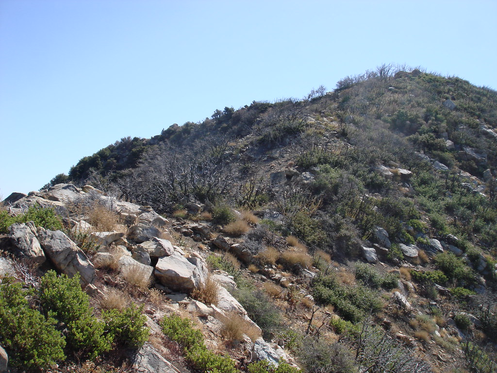
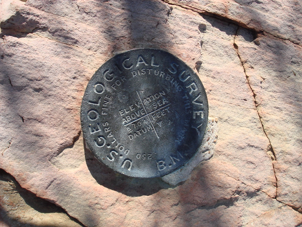
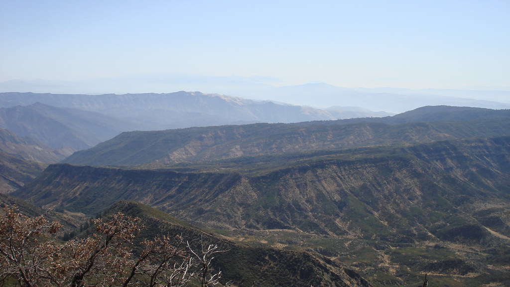
So Hines peak it was! The trail head starts at Sisar Canyon TH goes for about 3.4mi on a partially exposed Fire road to a 2.5mi long trail that connects back up at the top at a campsite. That trail was all shady. Kind of reminded me of Millard Canyon. Past the camp the Fire road ends and Now your on the Reef Trail. This goes for another 4miles and a little more then 1000ft to the Sespe wilderness boundary. Where you have another trail going to 2 locations to the left. and Hines Peak to bag to the right in about half a mile and 6-700ft up. Once at the top there is a USGS mark a register and an old burned up sign that once said Hines Peak on it. Past this point there is a pth to an over look of the bluffs (i 4get the name) going further is not allowed due to the condor habitat area. Stunning views in all directions. Couldnt see the ocean due to lots of cloud cover which sucked! Got a little warm in some spots but the ocean breezes were up most of the hike.
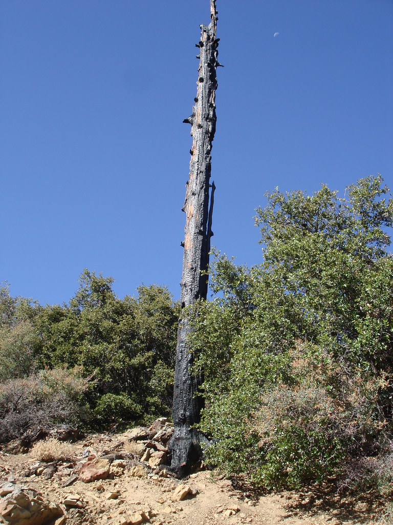
You could also see some of the remains of the fire that hit santa paula canyon =(
The only thing i hated was that every 4-5 miles the names of the trail would change or have a 4-5 digit code of numbers and letter 4n05w for example.....Its a little confusing!
19.5 miles
5000ft gain
19.5 miles
5000 ft gain...
645am
Around noon
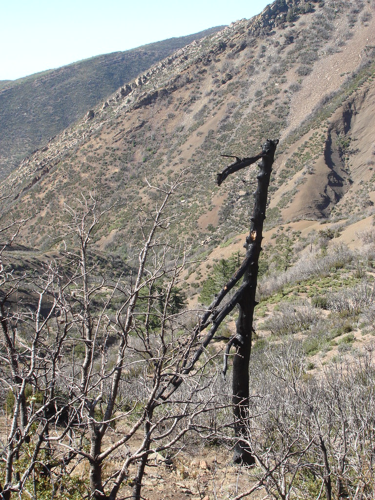
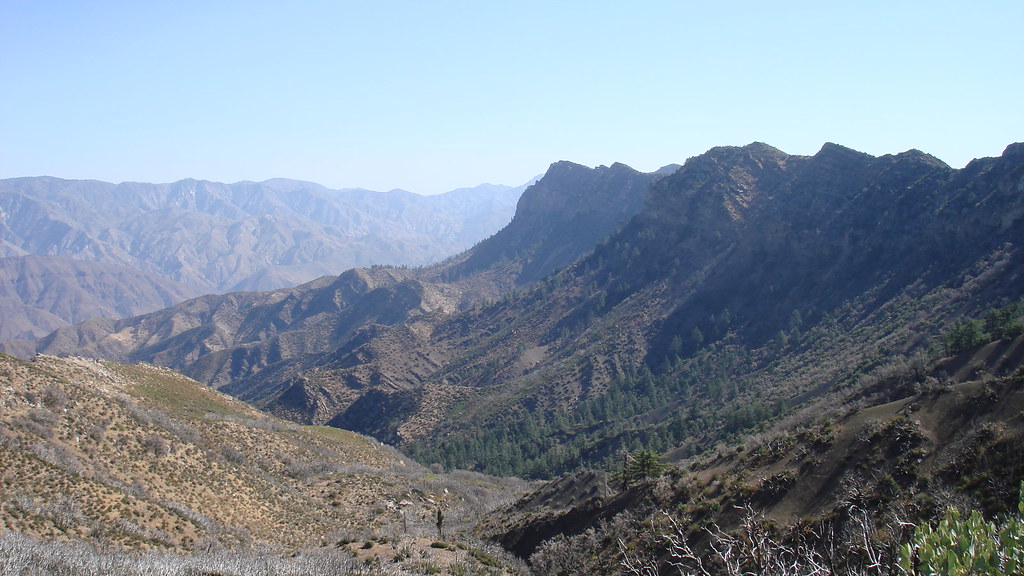
Fire damage
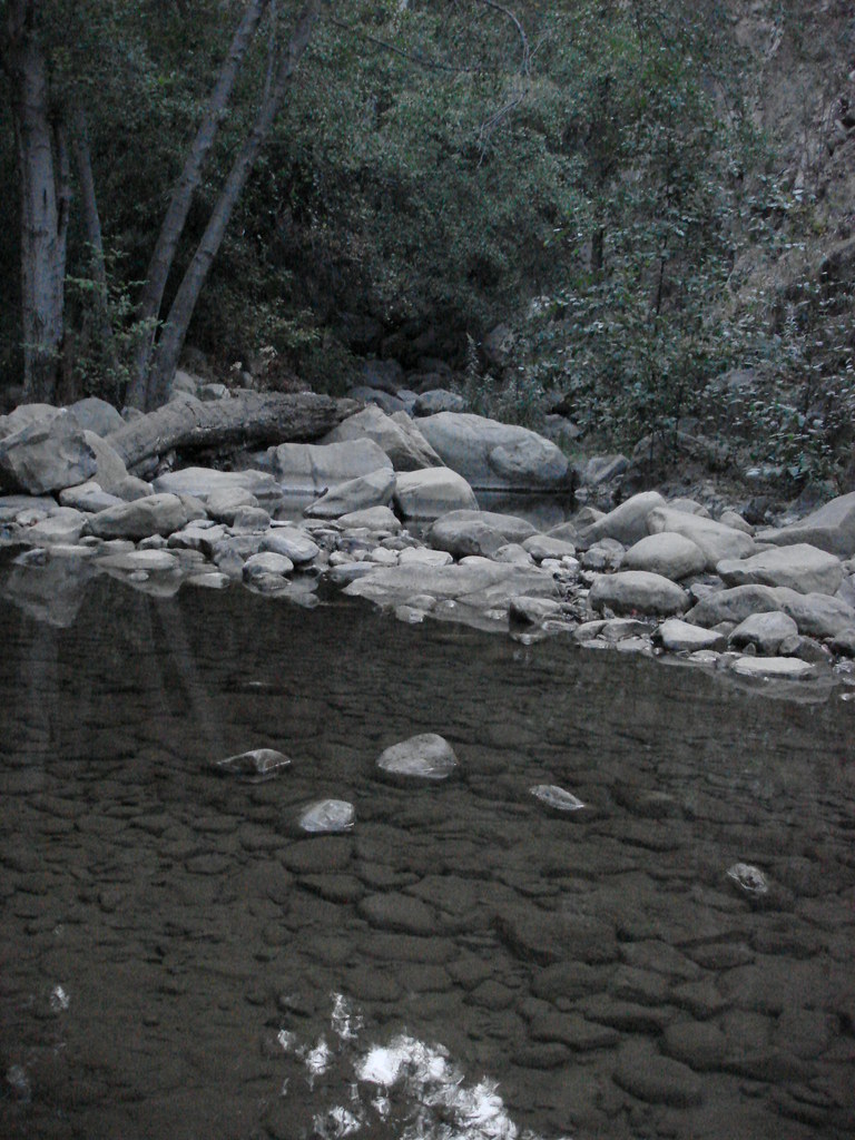
THE MOUTH OF SANTA PAULA CANYON
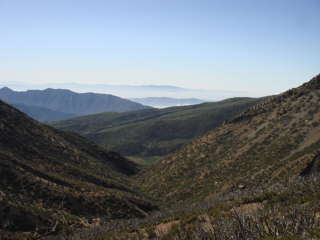
...WASTELAND....
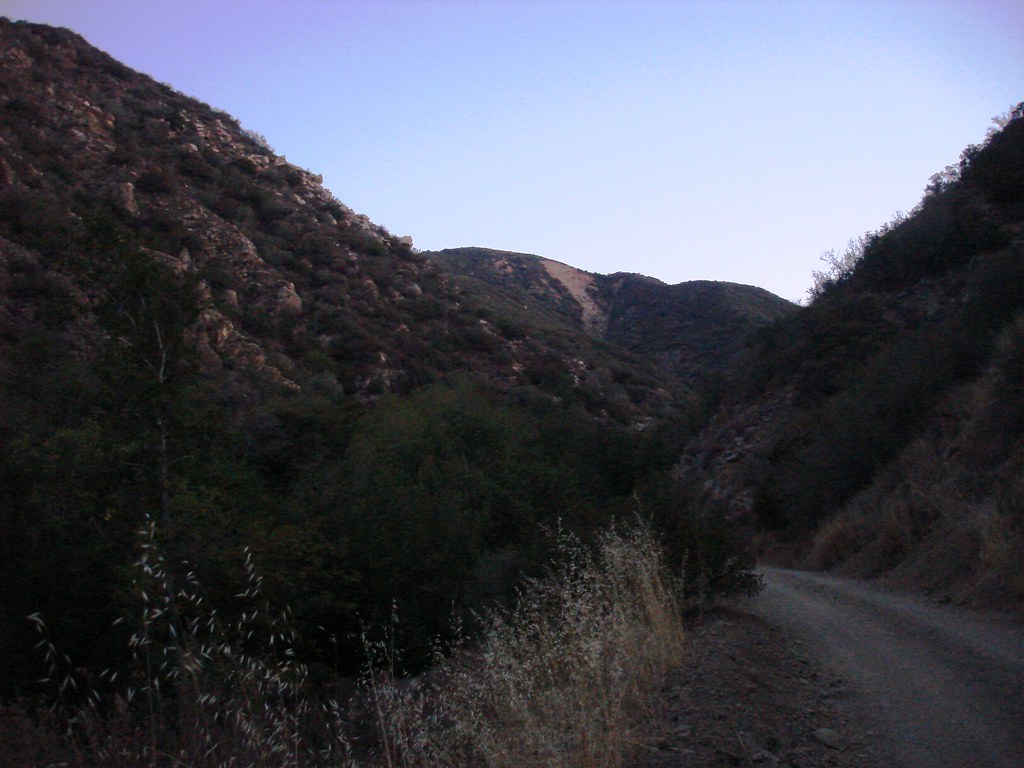
The hike..........
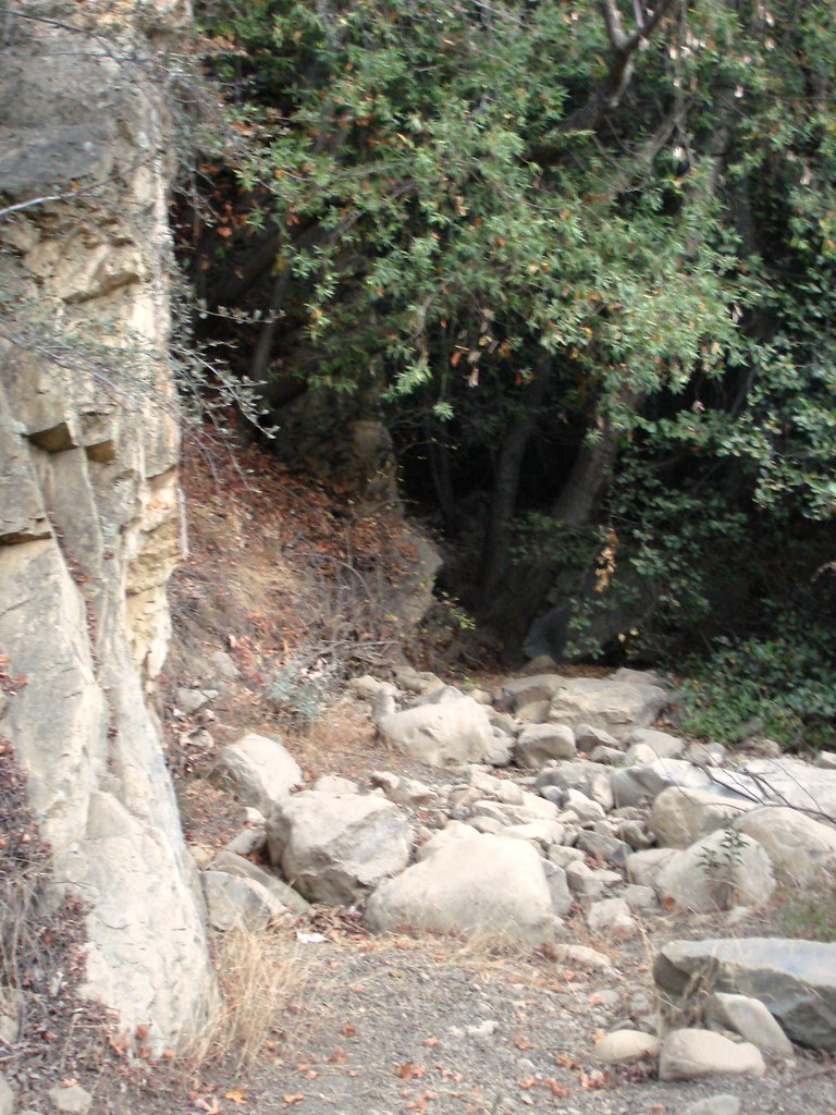
After 3.4 mi you come to the connector trail
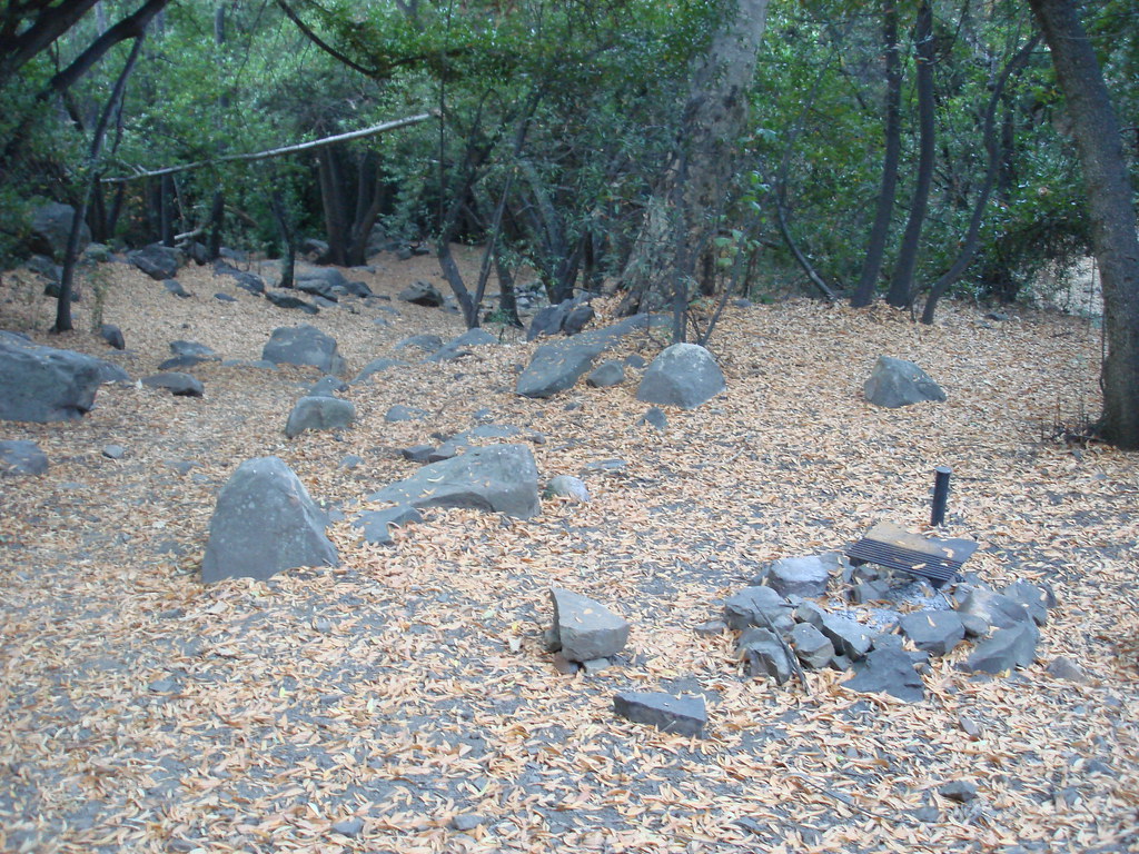
White ledge campground
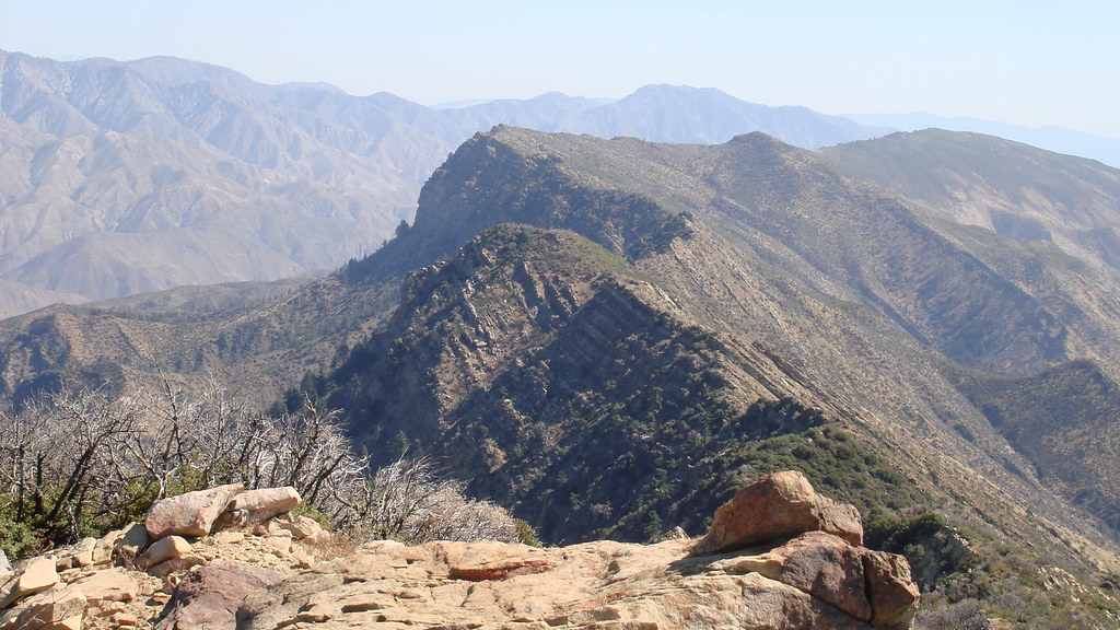
Chief Peak
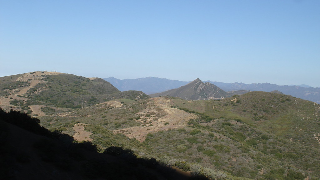
Hines
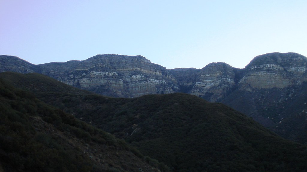
The bluffs
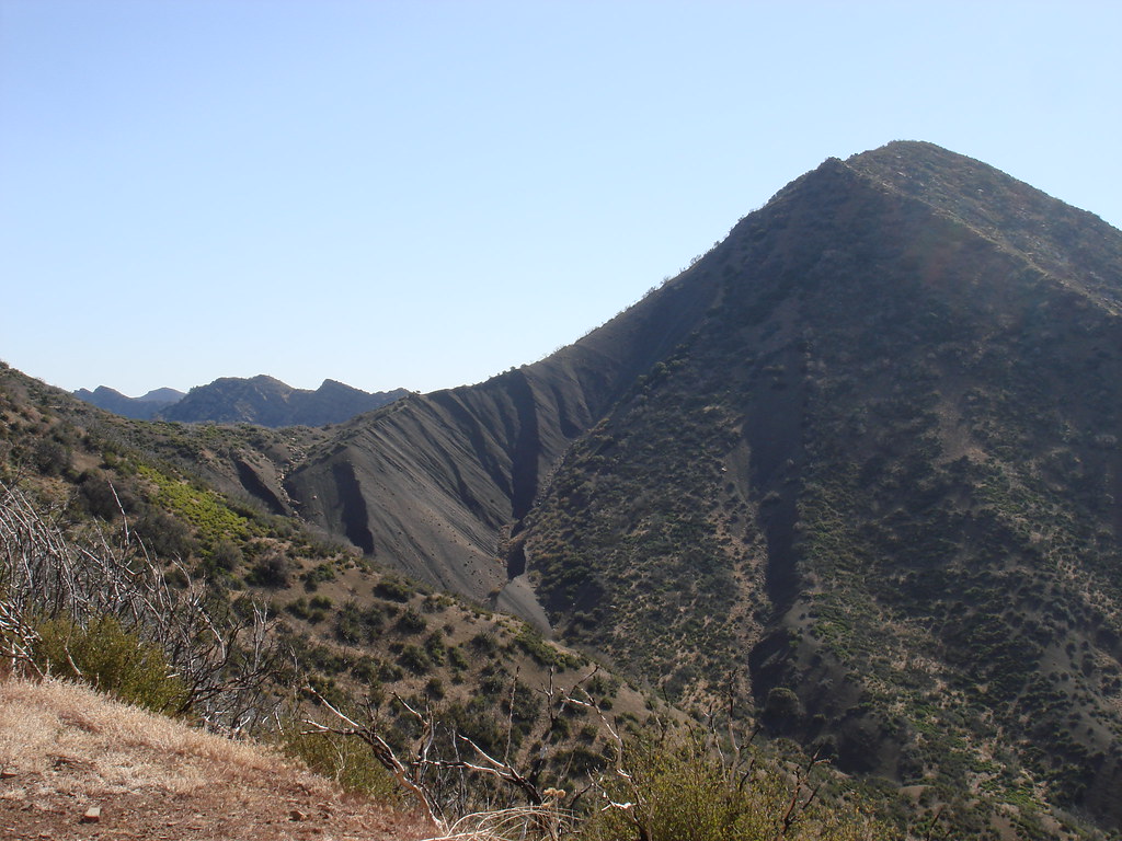
up the ridge! uncool crag
No condor in sight