

Supposing someone was hell-bent on getting some peace in their beloved San Gabriel Mountains without hazarding the closed Angeles; what could they do?
My hike up the Etiwanda Ridge picked up ~ 3,500 feet in 3.8 steep, unpleasant miles of often-indistinct trail and copious ceanothus. It aint no Big Horn Ridge, but I was twice at the edge of panic, unable to find my trail and rueful at the thought of retreating. Once reaching San Sevaine/Big Tree/1N34 road, all was well with the world. The isolation of the Joe Elliot campground, in the shadow of Cucamonga Peak is delightful. I spotted a Mule Deer hopping up a hillside as I walked in to the camp; couldn't get the camera out fast enough. After a brief rest and some Clif Bars, I spent some time studying the map. I could go back the way I came (NOT), continue along 1N34 west until it returns to civilization at Cucamonga Creek and have a really long walk back to the Jeep, or bail out via one of the canyons along the way. In anticipation of a long, hot, dry day I started with five liters. Regardless, finding water was becoming important. The West Cucamonga Truck Trail is really nifty. In spots it's wide and stable enough to actually hold a vehicle. These spots are few and far between. There were no less than a dozen slides and washouts between Elliot and Deer Canyon, where I bailed. The trail apparently sees SOME foot traffic due to the trampled Buckthorn in some overgrown spots. The remaining trail ranged from usable road, to overgrown, to single track, to hundred-plus-foot wide washouts requiring some careful climbing to regain. One of the streams that feeds Day Canyon was flowing beautifully just above the road/trail, so I was set for water for the rest of the day. As I continued around Smith Ridge I spotted a large Gopher Snake; also too fast to photograph. Soon the service road up Deer Canyon (1N44) was visible and confirmed the gently-sloped terrain observed on the Harrison map. There are some interesting structures, artifacts of its watershed use in the Canyon. Aside from a stupid meander around a subdivision trying to respect a misread "no trespassing" sign, the rest of the hike was uneventful; just a three-mile walk on a dirt service road back to the car.
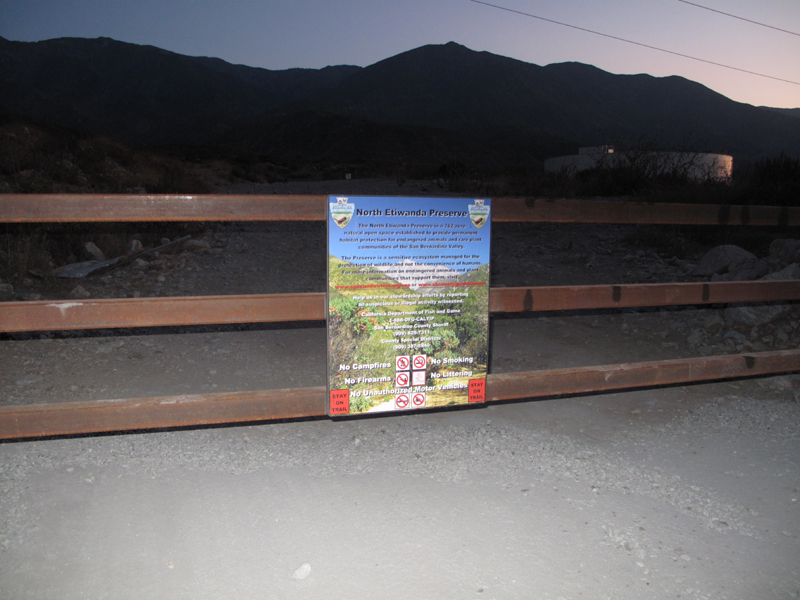
Gate at the top of Etiwanda Avenue.
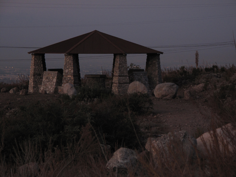
One of the attractive pavilions in the Etiwanda Preserve.
Smith Ridge, across Day Canyon.
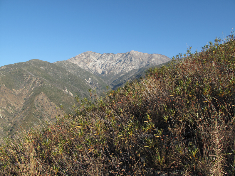
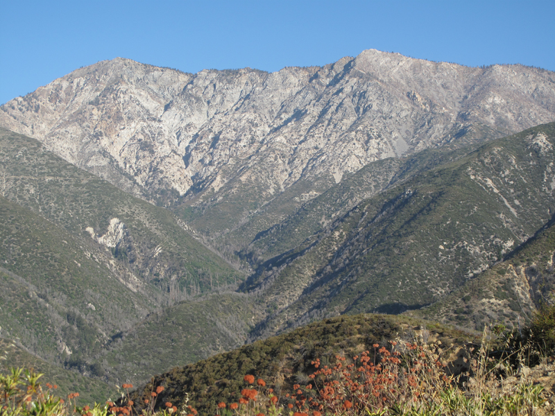
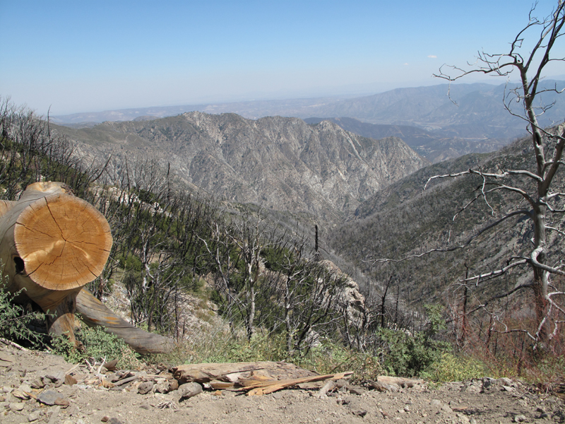
Cucamonga Peak and Smith Ridge, with Etiwanda Ridge in the foreground.
The view up Day Canyon toward Cucamonga Peak.
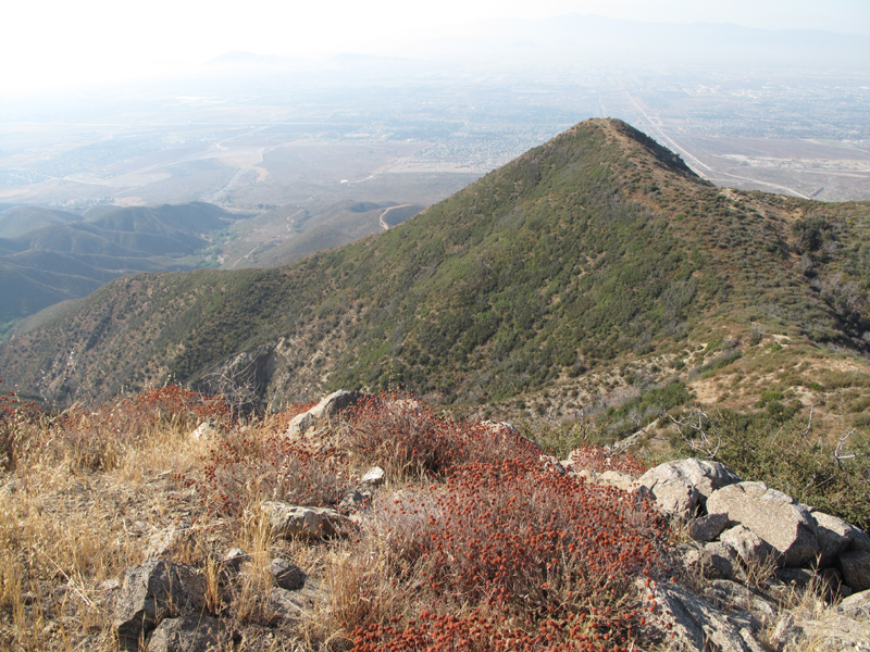
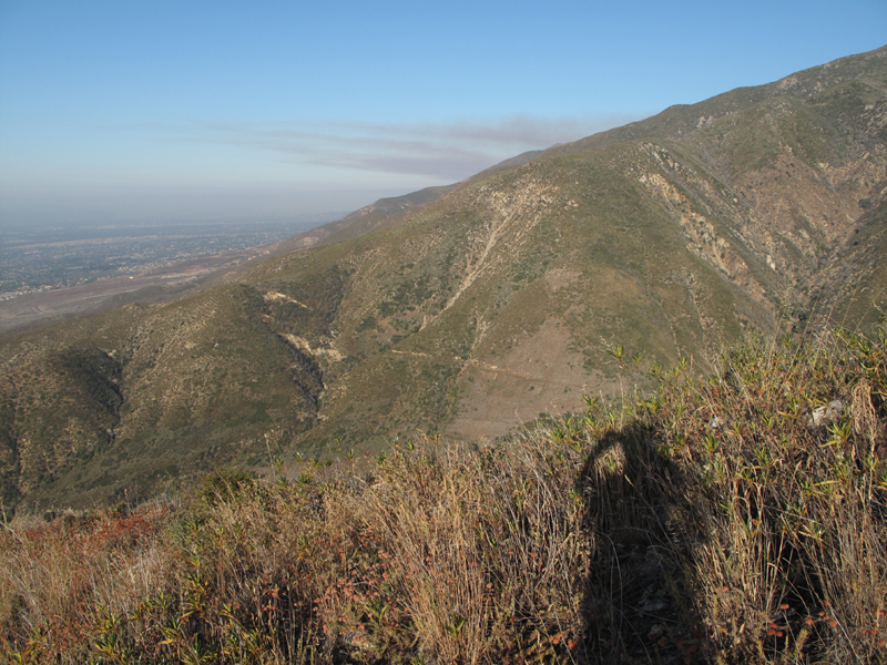
Partial view of Etiwanda Ridge, looking south.
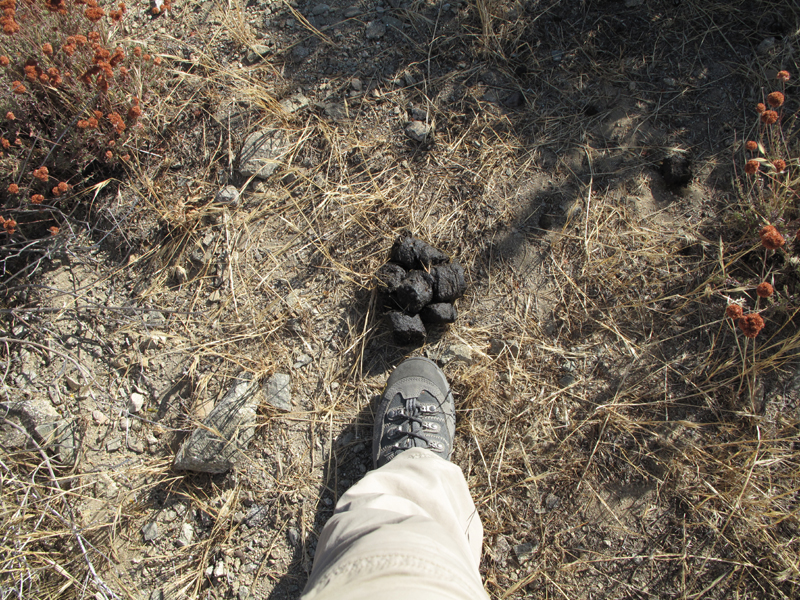
Definitive answer as to whether the bear goes in the woods; sometimes.

Marker at 5,600 ft elevation.
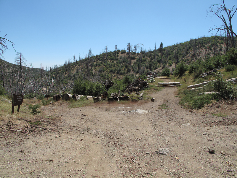
Finally made it to Big Tree Road (1N34).
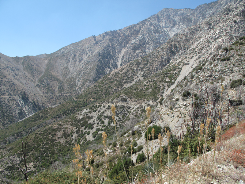
View down the South Fork, Lytle Creek, from Buck Point.
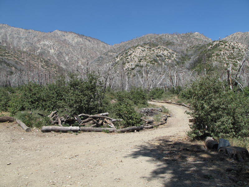
Joe Elliot, AKA Big Tree Memorial campground.
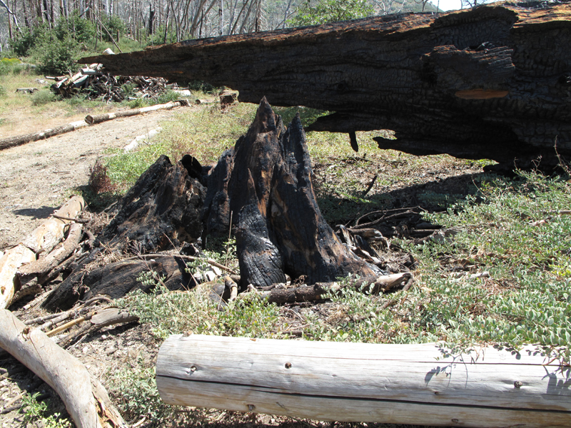
Remnants of the campground namesake?
This burned section of trunk is at least 48 inches in diameter.
That's the continuation of 1N43 to the right, which becomes the (closed) West Cucamonga Truck Trail.
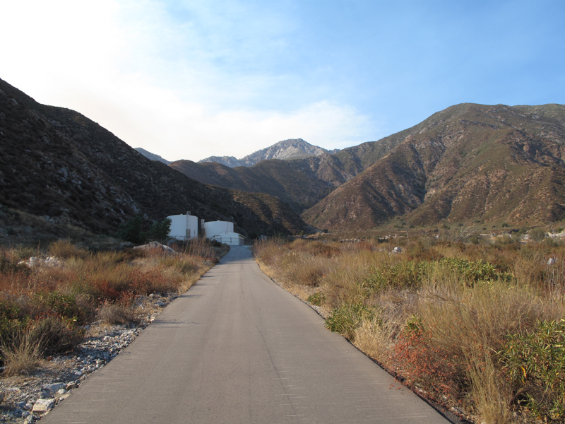
1N34 as it follows the head of Day Canyon.
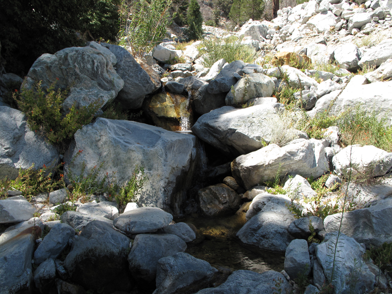
VERY welcome stream just above the road, elevation 5760 feet.
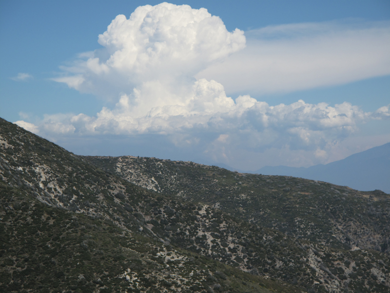
Interesting weather to the West.
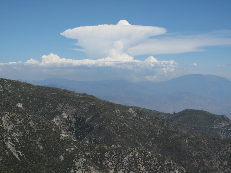
More interesting weather to the west.
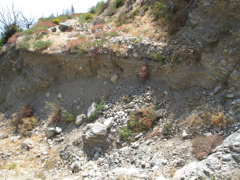
One of several washouts interrupting 1N34.
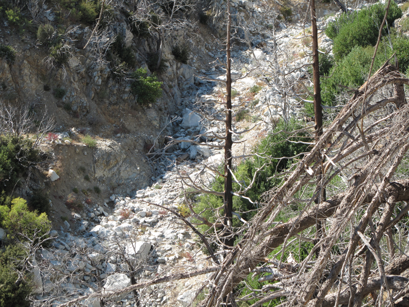
Another larger washout cutting 1N34.
Intersection of 1N34 and Deer Canyon.
A good-sized cat print on Deer Canyon access road.
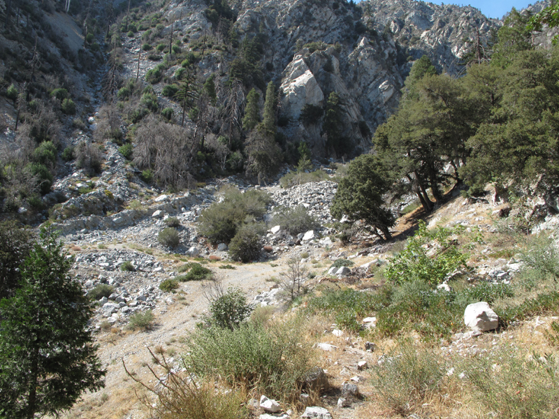
Looking up Deer Canyon from just above the dam.
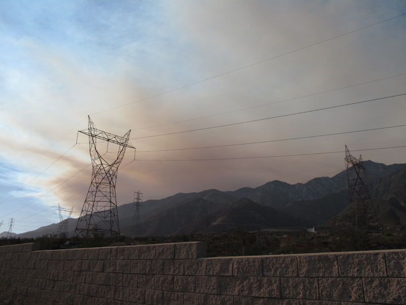
Smoke from the Station disaster starting to move west.
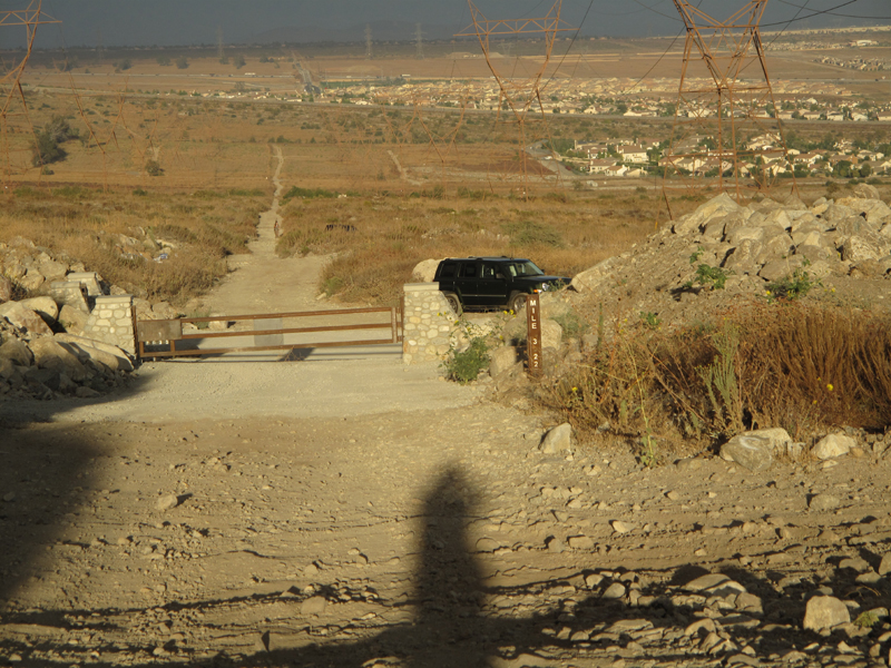
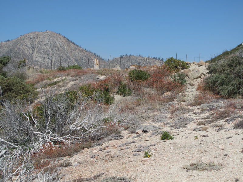
Back to "civilization".
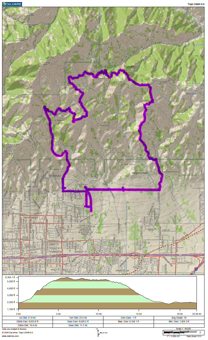
GPS track and elevation profile.

