Langley and Whitney Doubleheader

Archived TRs for Sierra Nevada ranges.
Post Reply
User avatar
lilbitmo
Posts: 1092
Joined: Tue Mar 04, 2008 9:44 pm

Post by lilbitmo »

Doubleheader

Left Orange County at 8:30 PM Wednesday night made it to Horseshoe Meadow by 1 AM, got to sleep at 2:15, up at 8 on the trail by 9 headed for Mount Langley. I headed up New Army Pass and on the way down I took Old Army Pass. It’s funny everyone always says that the Whitney Main trail is a zoo, but I counted 72 people on the trial coming and going between trailhead and the New Army Pass, then two more coming up out of Sequoia National Park, then another hiker that was returning from the summit of Langley and two that were a mile or so out in front of me headed in the direction of the summit of Langley. But on the way down there were only two guys on the trail when I went down Old Army Pass, with a few overnighters off in the trees by Cottonwood Lake #3, that's it, a 77 to 2 ratio from going up to coming down, kind of strange when you think about it. :?

I always find Langley to be as big a challenge as Whitney as the sandy material that makes up the trail from either pass heading towards the boulders that make up the final approach to do that scrambling you do to reach the summit, it makes you feel like you are going backwards. The day was warm but not excessively hot, by the time I reached the last two miles on the high plateau one cloud was hovering over me looking menacing, dark and threatening but nothing came of it. Later when it was time to head down more of the same type of clouds moved in but no rain or lightning ever materialized. It made the down hike cooler but humid and much appreciated.

Pictures here – http://s728.photobucket.com/albums/ww28 ... =slideshow

Friday was a rest day hanging out in Horseshoe Meadow talking to all the other hikers.
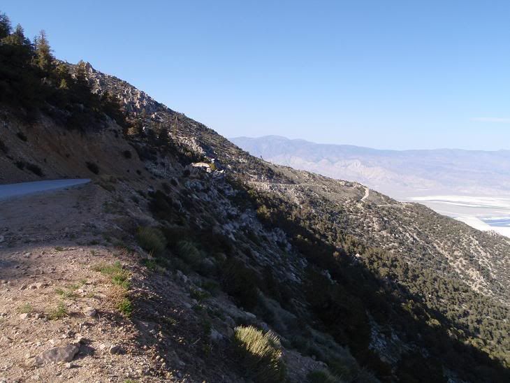
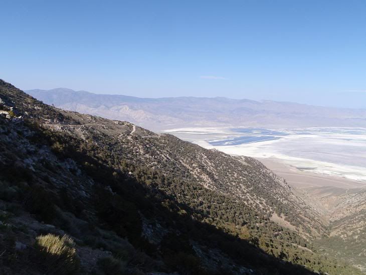
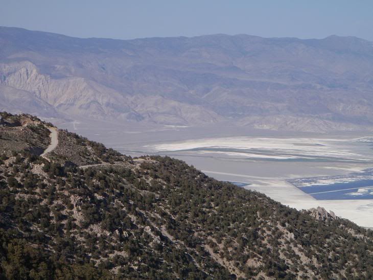
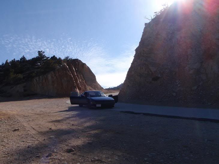
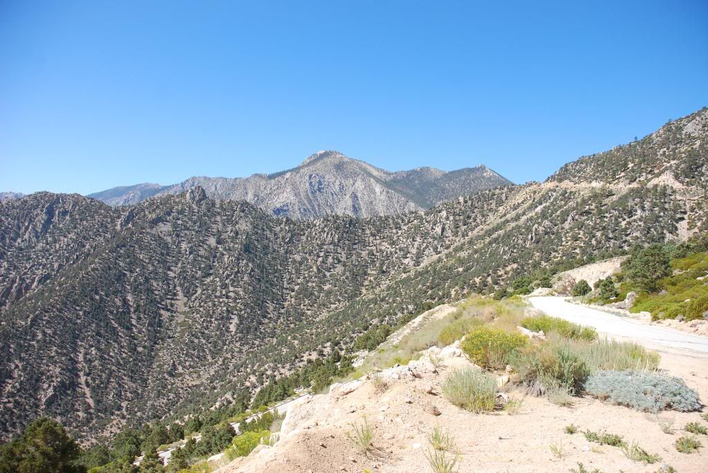
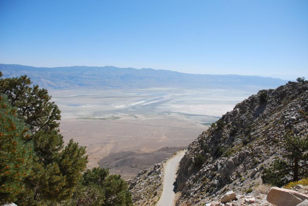
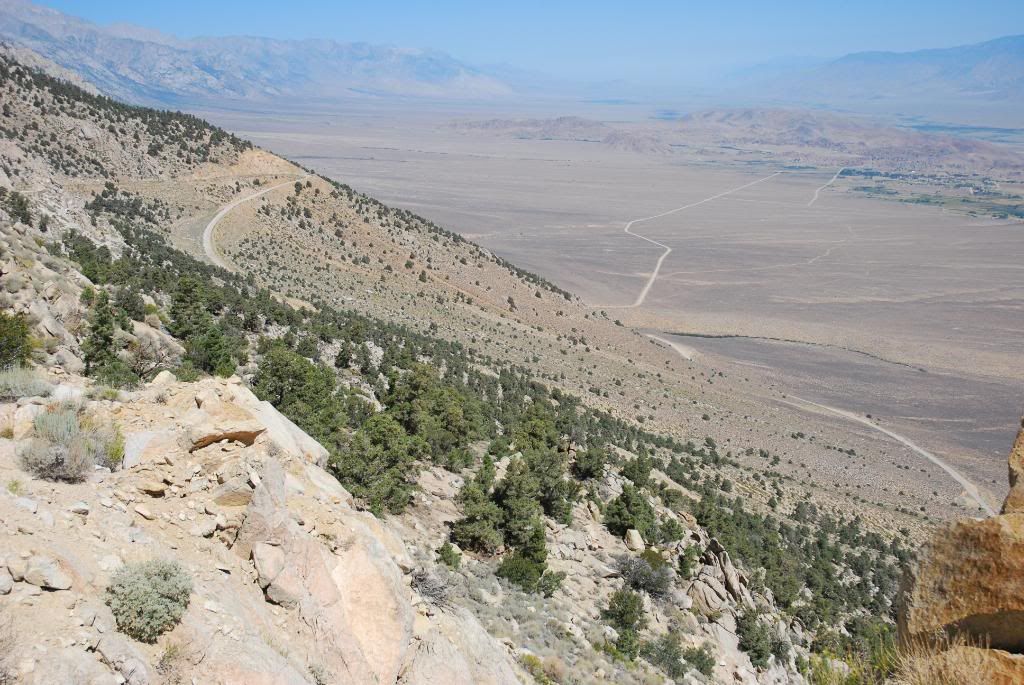
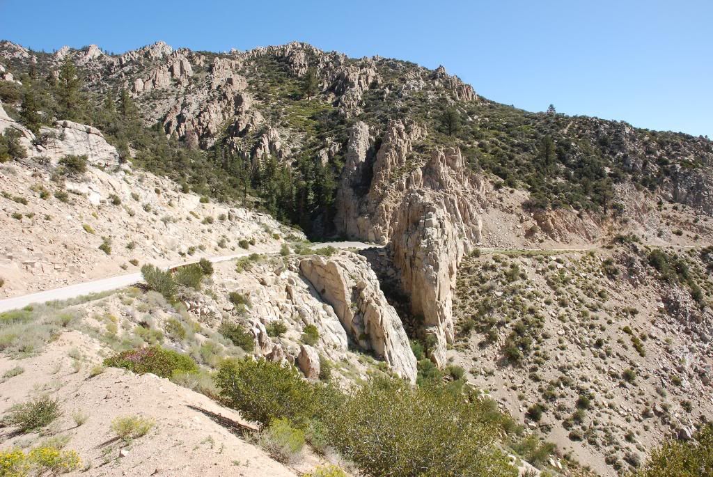
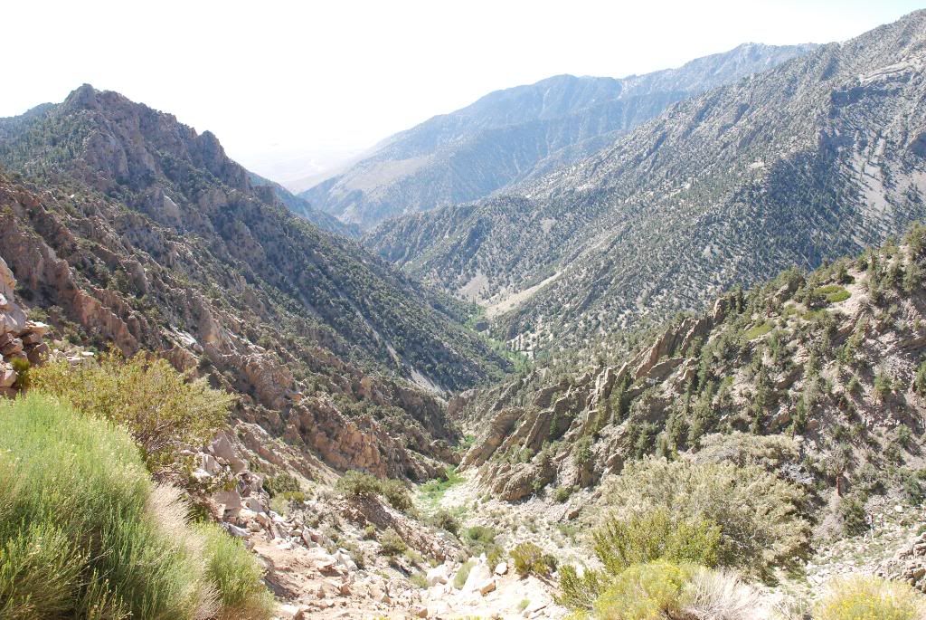
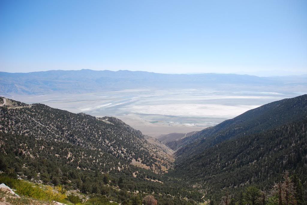
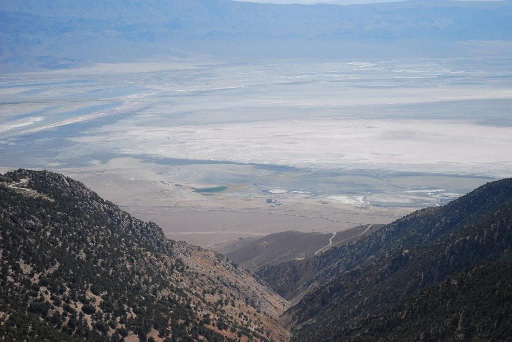
Saturday I spent two hours driving down Horseshoe Meadow road taking pictures from every pull out possible as I wanted some family members in the Midwest to get an idea of how crazy that road is but how truly safe it is as well. At 11 AM Saturday I met Bryan and his wife at the Visitor Center to pick up our Permits for Whitney.

Once they were settled in at their hotel we did lunch, drove to the Portal to take the pictures that everyone likes to get with no worries because we would be starting at 2 AM they wanted to see what the portal was all about. Having never done the hike they both were fairly excited to get going. The portal was packed and we had to park way down the road. The crowd around the fishing pond always makes me laugh; some of them folks actually try to catch fish in that silly little pond.

Everyone got to bed by 7 PM up, then I was up at midnight, down from the Alabama Hills to their hotel at 12:30, back up and on the trail by 2 AM. Made trail camp by 5:15 AM, everyone there was just beginning to stir. Not as crowded as the last time I was there in 2006. Made trail crest by 7:45 AM as Bryan’s wife was feeling the effects of the altitude, took big break there, and kept moving after that all the way to the summit. Summit, which had at least 40 people on it, sunny, beautiful not a cloud in the sky. My second time up, this was there first, they really were amazed at the views. It just doesn’t get any better on a clear day.

In case no one has told you they closed the “Starbucks” that was up there, you know what I’m talking about :D :shock:

We made it back to the trailhead by 4, down to Lone Pine for late lunch, on the road by 5:30 and home to Yorba Linda by 9, cleaned up my gear and to bed by 11 – that was one long 23 hour day but well worth it.

Pictures here – http://s728.photobucket.com/albums/ww28 ... =slideshow

Four days of fun, now it’s back to the grind.
User avatar
mattmaxon
Posts: 1137
Joined: Mon Mar 24, 2008 12:48 pm

Post by mattmaxon »

Nice
I'm thinking about Langley

BTW that was my motorcycle chained to the tree next to the Bear Boxes...

Any GPS data on Langley?

Matt
User avatar
lilbitmo
Posts: 1092
Joined: Tue Mar 04, 2008 9:44 pm

Post by lilbitmo »

Sorry Matt, my GPS unit is somewhere in the middle of the Lyell Glacier, it came out of it's case three years ago and I did not know it until it was too late, so I haven't had the extra funds to get an new one. Langley is so straight forward that once you cross the "high plateau" and reach the rocks all you have to do is scramble upward, cannot miss the summit. The one thing that might help is stay close to the high side near the edge of the drop off into the basin as it's easier to climb the rocks here versus the lower side which requires more of a climb, just my opinion. Have done it both ways and the higher side (East end) is just less work.

Hope you get there soon.

And yes I did see the motorcycle parked at the bear boxes at the Cottonwood Pass trailhead.
:D
User avatar
asbufra
Posts: 135
Joined: Sun Oct 26, 2008 10:27 pm

Post by asbufra »

Nice Job on both.
I too am amazed by the road up to Horseshoe Meadows. The first time there I did not know where to go and saw this tiny cut switchbacking across the mountain and joked "that must be where we are going" . Little did I know that soon we were on that road. The views of the valley and Owens Lake are just incredible.
User avatar
dgrimreaper
Posts: 35
Joined: Wed Mar 04, 2009 4:00 pm

Post by dgrimreaper »

Congrats on tagging both in the same weekend. I was scheduled to climb Whitney in June, but badly sprained my ankle playing b-ball. Haven't been able to hit the trails since late May. I have to get out soon before I go postal...
User avatar
edenooch
Posts: 504
Joined: Fri Jul 03, 2009 7:42 pm

Post by edenooch »

awesome
User avatar
Tiger40c
Posts: 6
Joined: Mon Aug 04, 2008 11:02 pm

Post by Tiger40c »

The road to Horseshoe Meadows is an "E" ticket for sure (fellow boomers will understand the reference). Was anyone else amazed by the loooong horse trailers at the Cottonwood Lakes trailhead? People actually tow those things up the hill loaded with equine and my assumption is they eventually navigate those rigs back down the hill. That's gotta take some rocks!
User avatar
lilbitmo
Posts: 1092
Joined: Tue Mar 04, 2008 9:44 pm

Post by lilbitmo »

Tiger40c wrote:The road to Horseshoe Meadows is an "E" ticket for sure (fellow boomers will understand the reference). Was anyone else amazed by the loooong horse trailers at the Cottonwood Lakes trailhead? People actually tow those things up the hill loaded with equine and my assumption is they eventually navigate those rigs back down the hill. That's gotta take some rocks!
Just glad I have not had to follow any of them up or down thus far :D

I took a friend up two years ago for the first time, I chip monk ran across the road right in front of us, my friend was so scared by the drop off of the road that he yelled out, hit it, hit it so I wouldn't serve to miss the critter - I couldn't stop laughing :shock: now that's fear.
User avatar
simonov
Posts: 1087
Joined: Tue Nov 27, 2007 5:44 pm
Location: Reno, NV
Contact:

Post by simonov »

asbufra wrote:I too am amazed by the road up to Horseshoe Meadows. The first time there I did not know where to go and saw this tiny cut switchbacking across the mountain and joked "that must be where we are going" . Little did I know that soon we were on that road. The views of the valley and Owens Lake are just incredible.
I hate that road. There are no guard rails, except at the corners.
Nunc est bibendum
User avatar
Taco
Snownado survivor
Posts: 6010
Joined: Thu Sep 27, 2007 4:35 pm

Post by Taco »

That is one of the finest driving roads I have ever had the pleasure of driving on. Half of the allure of going to the Lone Pine area for me IS that road.

Image
Image
Image
Image

Can't wait to head back up there.
User avatar
mattmaxon
Posts: 1137
Joined: Mon Mar 24, 2008 12:48 pm

Post by mattmaxon »

simonov wrote:I hate that road. There are no guard rails, except at the corners.
Lots O Fun on my KLR250 :D
User avatar
Taco
Snownado survivor
Posts: 6010
Joined: Thu Sep 27, 2007 4:35 pm

Post by Taco »

That's the spirit!
User avatar
lilbitmo
Posts: 1092
Joined: Tue Mar 04, 2008 9:44 pm

Post by lilbitmo »

And then some :D
Image
Image
Image
Image
Image
Image
Image
Image

Take your pick which curve you want to do the drive off of? :shock:
User avatar
Tim
Posts: 560
Joined: Tue Apr 08, 2008 8:55 pm

Post by Tim »

I like this road too and the whole Horseshoe Meadow area. I've driven it in the daytime and back down in the middle of the night to head over to Whitney Portal. A few times I took the turns a little too fast. Maybe it was better that it was pitch black because I might have crapped in my pants if I saw how close I got!

The 243 up to Idyllwild from Banning is also pretty cool. The drop-offs are steep and the turns are banked! When you're going back down the last few thousand feet, Banning is so close it feels like you're in an airplane above the city.
User avatar
LD
Posts: 93
Joined: Sat Jan 31, 2009 10:03 pm

Post by LD »

lilbitmo wrote:And then some :D

Image
I believe that's called Walt’s Point. This is the time of the year you get a lot of hang gliders launching from here in the morning. Pretty awesome watching them just jumping off into space working their way down to Owen's valley.
For expert hangliders only. No room for mistakes.
User avatar
Taco
Snownado survivor
Posts: 6010
Joined: Thu Sep 27, 2007 4:35 pm

Post by Taco »

Yup, Walt's Point.

Who here drives OFF cliffs? What kinda conditions are y'all driving in, or what are you drinking prior? :shock:
Post Reply