
PHOTOS - Post or link to pictures!

-
mve
- Posts: 414
- Joined: Fri Dec 11, 2009 12:53 pm
Here are few more of my favorites for further inspiration 


not mine of course -- all from http://www.luminous-landscape.com/tutor ... bing.shtml (great writeup on Digital Mountain Climbing Photography by the way ...)
not mine of course -- all from http://www.luminous-landscape.com/tutor ... bing.shtml (great writeup on Digital Mountain Climbing Photography by the way ...)
-
gregp909

- Posts: 80
- Joined: Mon Feb 18, 2008 10:07 am
Awesome!!
All these pics, and TRs today make me want to go climb something. I just might be sick this week because I don't want to fight the weekend crowds.
All these pics, and TRs today make me want to go climb something. I just might be sick this week because I don't want to fight the weekend crowds.
-
Oilslinger
- Posts: 14
- Joined: Tue Jan 26, 2010 9:07 pm
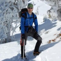
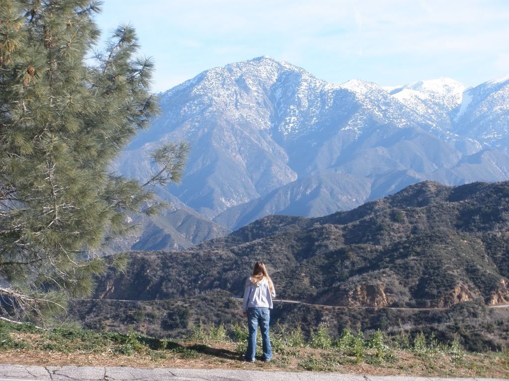
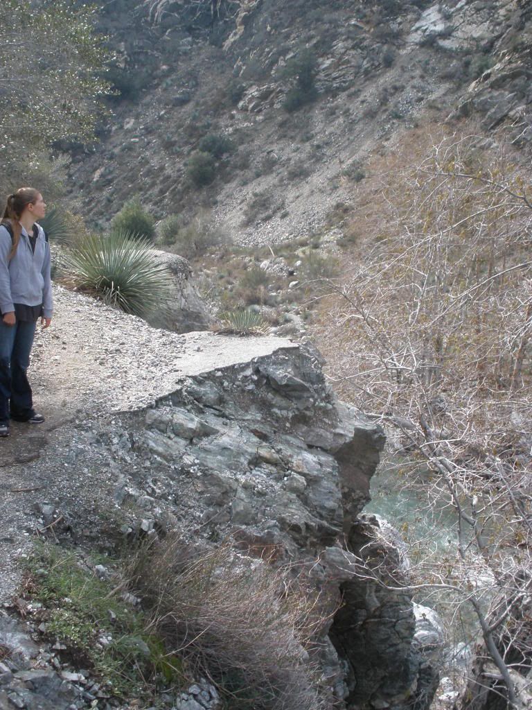
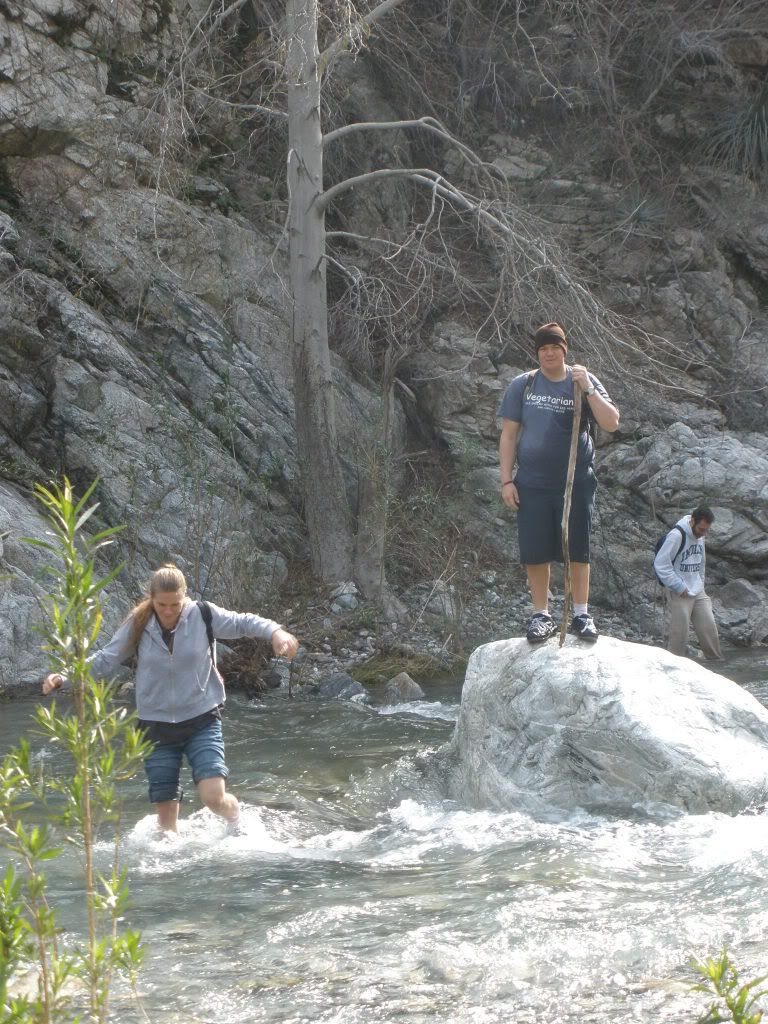
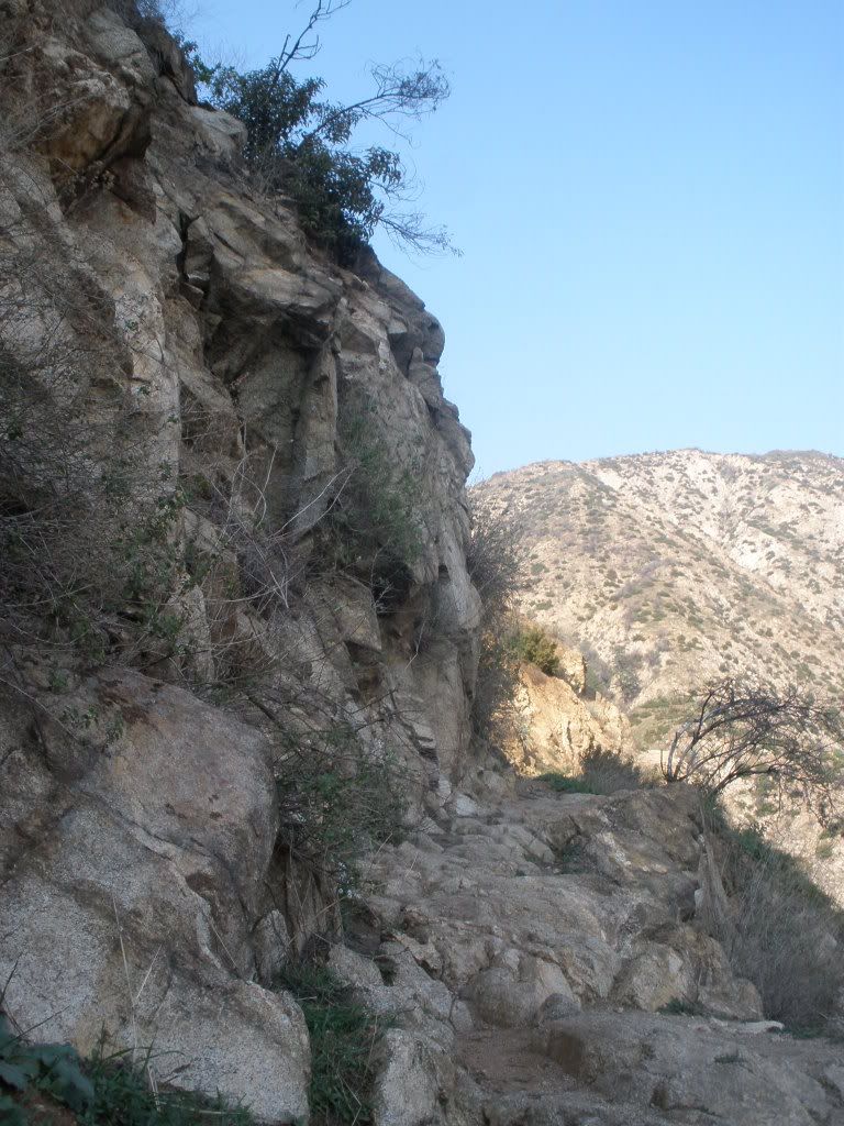
Here's a couple from yesterday. Got a late start, so we didn't continue on to the narrows.
From the gap where GMR meets GRR-
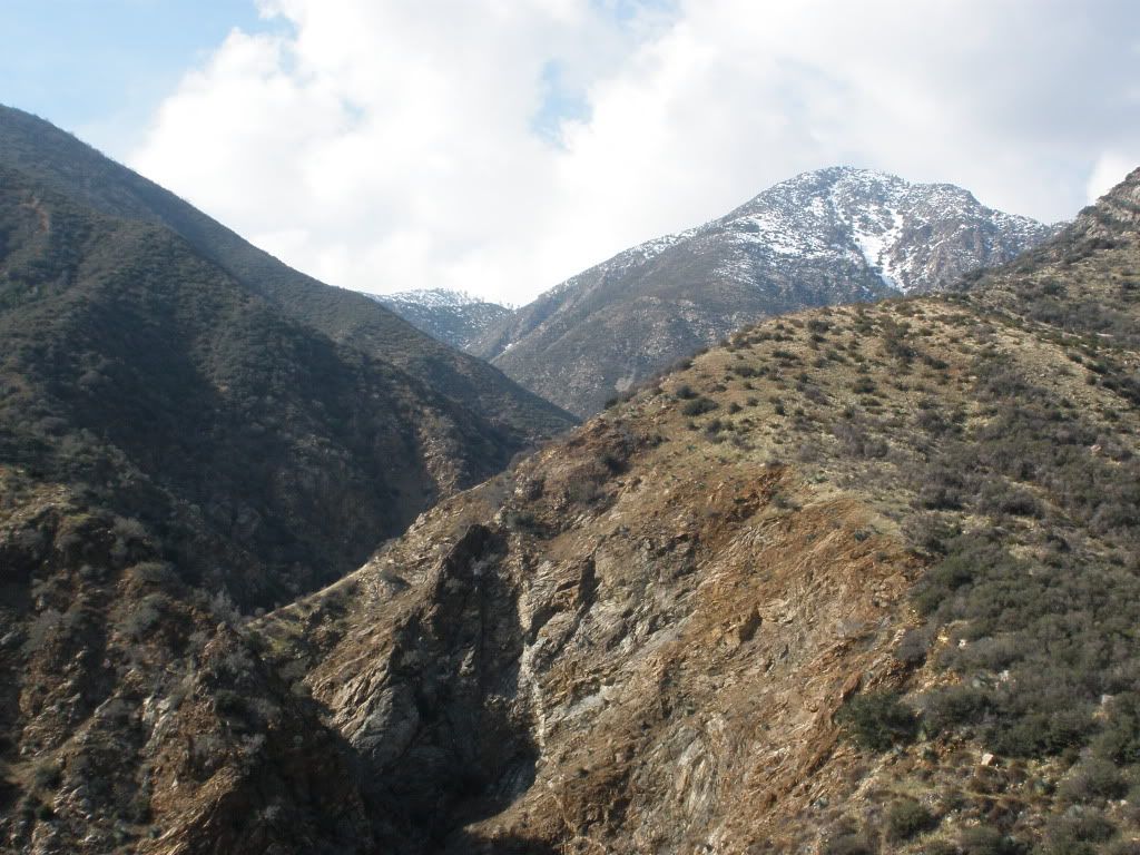
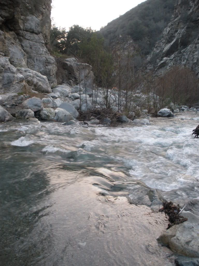
From the gap where GMR meets GRR-
-
Oilslinger
- Posts: 14
- Joined: Tue Jan 26, 2010 9:07 pm
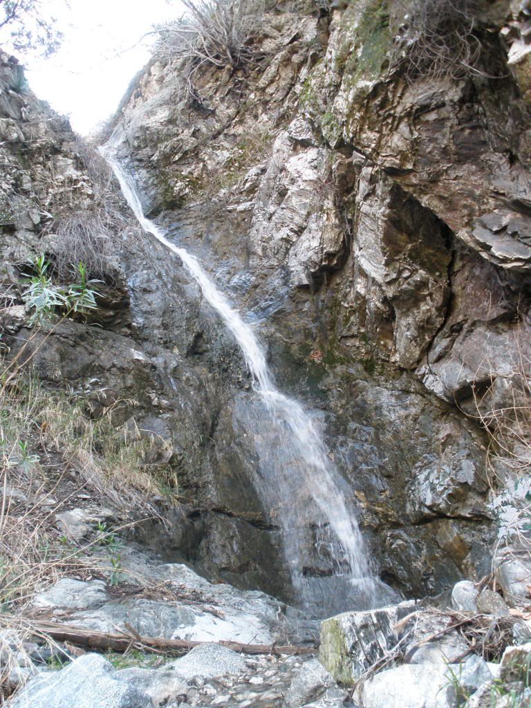
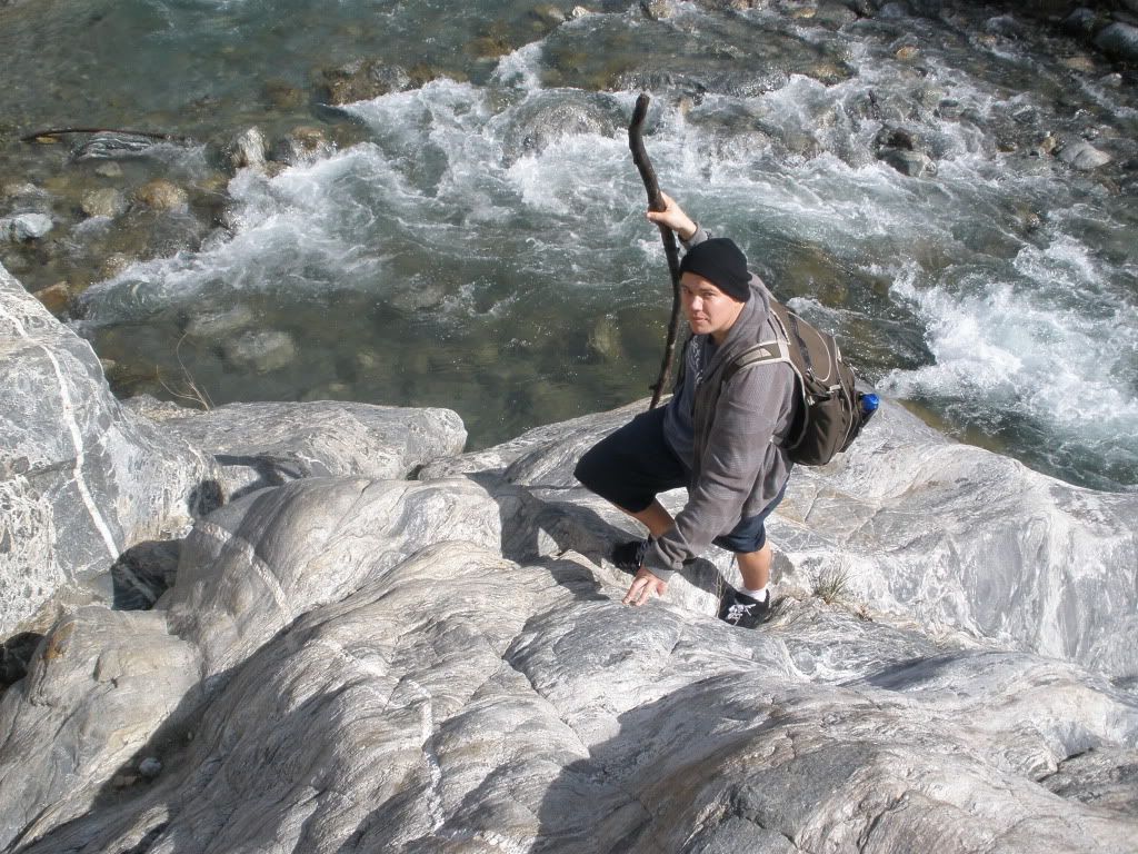
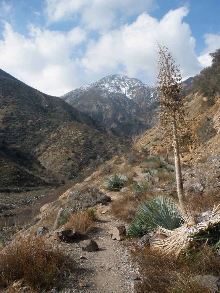
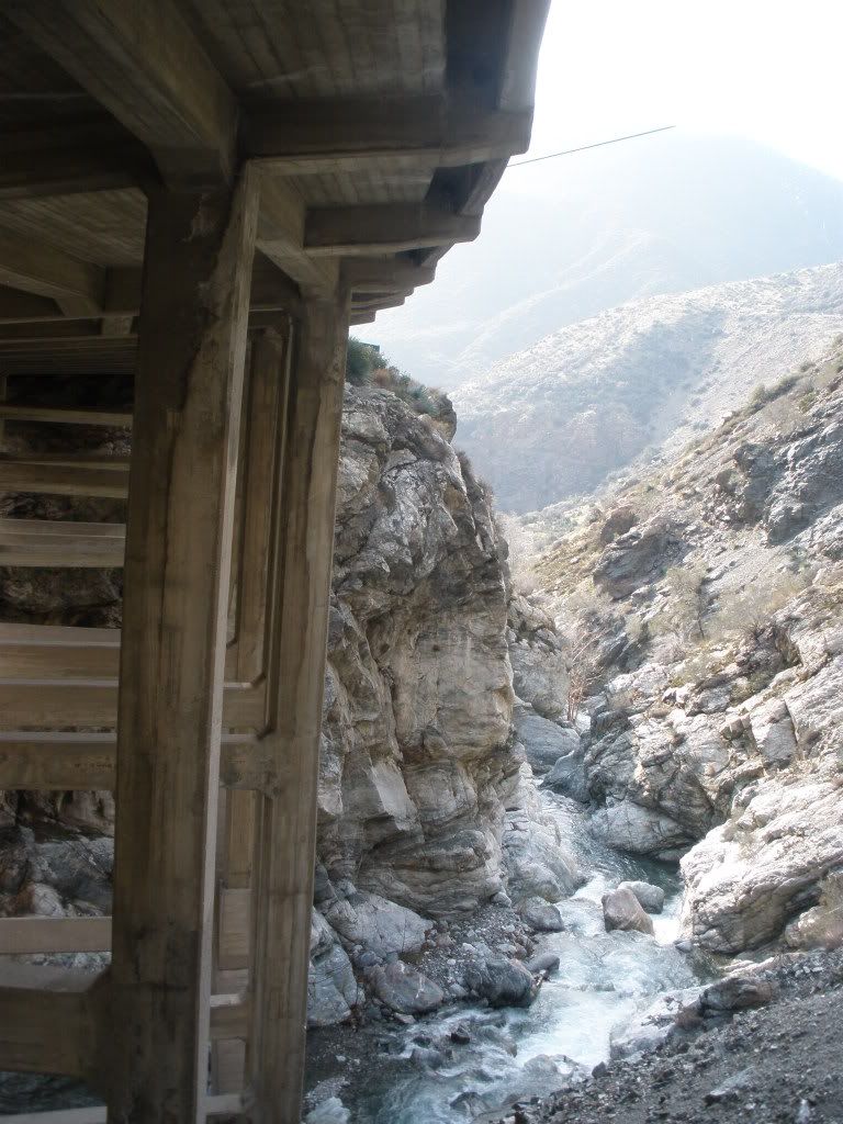
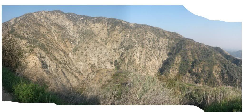
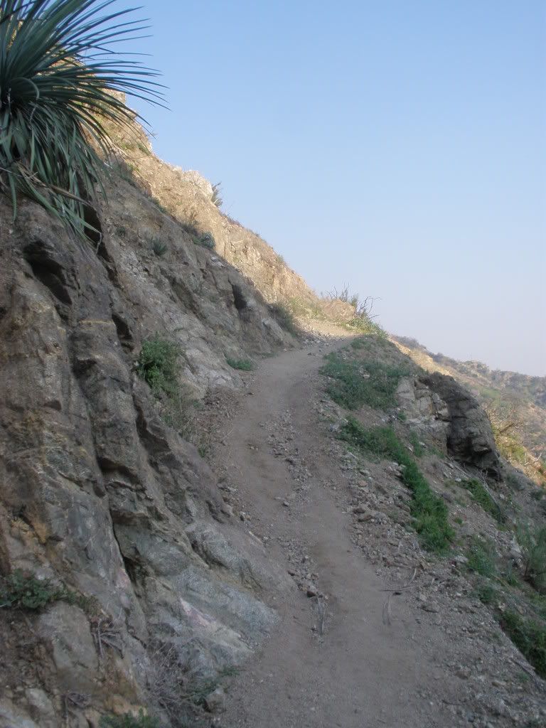
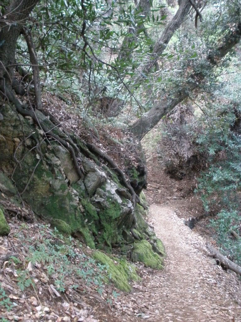
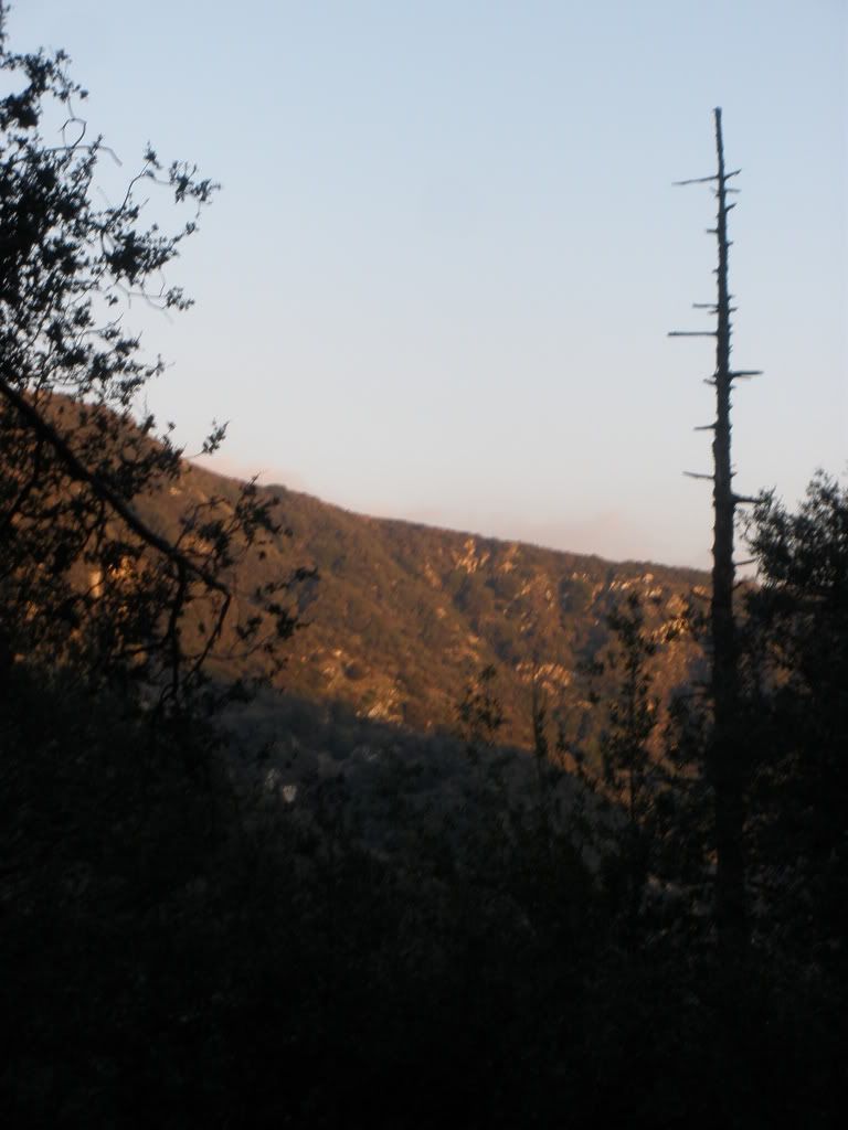
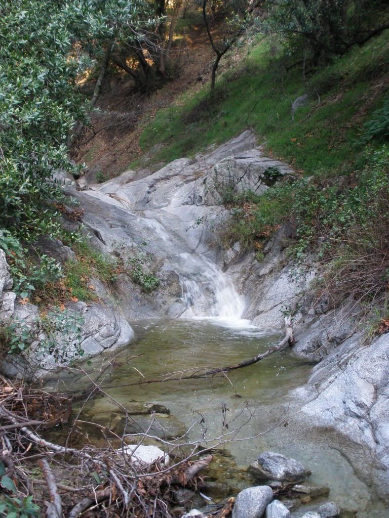
Took a short hike yesterday up the old Mt Wilson trail, to the orchard camp site. Took a few pics along the way.
-
Socalhiker69
- Posts: 21
- Joined: Wed Nov 19, 2008 12:21 pm
gregp909 wrote:Obvioulsy this isn't the local mountains, and its not a picture of me, but a friend of mine found this and neither of us know where it is but I thought it was cool enough to share. Crazy exposure it seems. Enjoy.

This is on the normal north route of Ushba (15,453 feet) on the Russian-Georgian border of the Kaukasus.
-
Oilslinger
- Posts: 14
- Joined: Tue Jan 26, 2010 9:07 pm
Here's one I took, then when I got home I saw the next one...

-
PackerGreg

- Posts: 623
- Joined: Sat Sep 12, 2009 9:31 pm
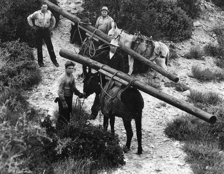
Jim Heasley (in white hat w/ dark shirt) and his crew taking telephone poles up the Old Mount Wilson Trail from Sierra Madre. These were for the old crank-phone system.
My avatar shows me lugging his young namesake, Heasley the Donkey, born March 2004, who now weighs about 650 pounds.
-
PackerGreg
- Posts: 623
- Joined: Sat Sep 12, 2009 9:31 pm
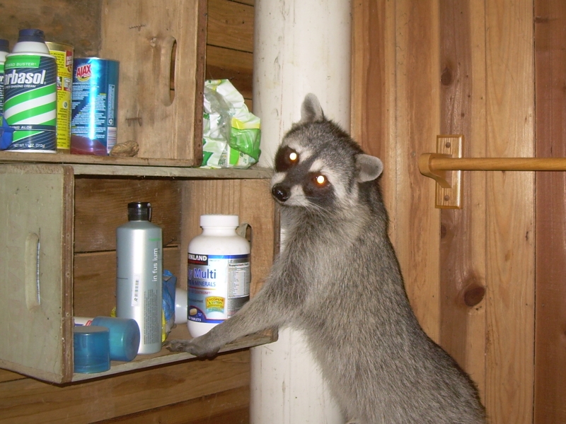
3 am in the bunkhouse at Adams' Pack Station, Chantry Flat. I regretted putting in the cat door!
-
mve
- Posts: 414
- Joined: Fri Dec 11, 2009 12:53 pm
That's hilarious -- he's like "What do you want man?"
-
outwhere

- Posts: 323
- Joined: Sun Jan 25, 2009 5:40 pm
Very cool 'then & now' photo job there Oilslinger! If I may, where is that...?
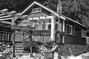
Heavy duty image of the abandoned Hermitage place Nice 1 Packer Greg
And those dudes hauling up the telephone polls - I wouldn't wanna get in a bar fight with any of those guys --- the skinner dude,,, I might be able to survive a minute or two with him
Amazing how different the San Gabriel's were [great hiking era, mt lowe railway, cabins etc etc] -------- not that long ago in a sense.
I love all the trip reports on this forum but it's fun seeing historical stuff too - Taco, where's a pic of your first car
Heavy duty image of the abandoned Hermitage place
And those dudes hauling up the telephone polls - I wouldn't wanna get in a bar fight with any of those guys --- the skinner dude,,, I might be able to survive a minute or two with him
Amazing how different the San Gabriel's were [great hiking era, mt lowe railway, cabins etc etc] -------- not that long ago in a sense.
I love all the trip reports on this forum but it's fun seeing historical stuff too - Taco, where's a pic of your first car
-
cougarmagic

- Posts: 1414
- Joined: Wed May 07, 2008 5:21 pm
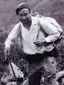
I found my one and only Herbert pic, circa 1925:

and on a mule theme, here is "Burro-ing to Switzer Land"

I saw a photo once of two mules carrying a piano up to Switzer Chapel!
PackerGreg - do you know if there was a pack station of sorts at Oakwilde?
and on a mule theme, here is "Burro-ing to Switzer Land"
I saw a photo once of two mules carrying a piano up to Switzer Chapel!
PackerGreg - do you know if there was a pack station of sorts at Oakwilde?
-
PackerGreg
- Posts: 623
- Joined: Sat Sep 12, 2009 9:31 pm
Yes, there was packing service from Oakwilde. Before the Angeles Crest Highway in the first half of the 1930's, the most practical way to Switzer's was the old Indian foot path around the 'Royal Gorge' which had been widened for packing purposes. There was a stage coach line from Pasadena all the way to Oakwilde (because, of course, the Brown Mountain Debris Dam wasn't there yet) and the road was naturally used for supply wagons as well. However, because of The Gorge, the road could go no further and the passengers and supplies to Switzer's had to continue on pack animals. I believe that the packing service was operated by Oakwilde, rather than as an outpost of Switzer's.
-
PackerGreg
- Posts: 623
- Joined: Sat Sep 12, 2009 9:31 pm
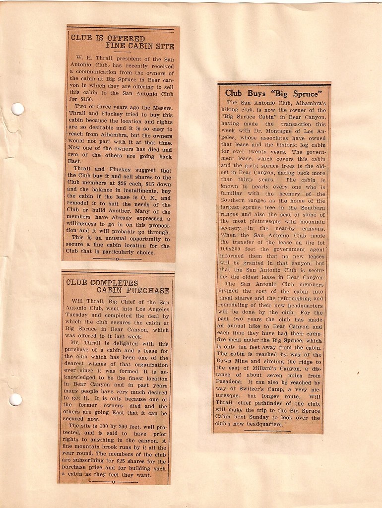
Here Will Thrall, editor of Trails magazine and first president of the San Antonio Hiking Club, arranges to buy a cabin for the group...
 [/b]
[/b]
[/b]-
outwhere
- Posts: 323
- Joined: Sun Jan 25, 2009 5:40 pm
That's some sweet stuff Packer Greg - sure would like to see a pic of that cabin!
You got any info about this one:

I can't remember where I read something about this ccc camp but something tells me it stated that it was wiped out in the '38 flood.
You got any info about this one:
I can't remember where I read something about this ccc camp but something tells me it stated that it was wiped out in the '38 flood.
-
PackerGreg
- Posts: 623
- Joined: Sat Sep 12, 2009 9:31 pm
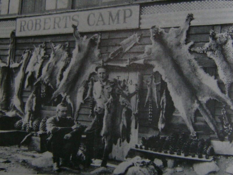
Pelts of Mountain Lion, Bobcat, Fox, Ringtail etc (enhanced by a collection of Pine Cones) at Roberts Camp, Big Santa Anita Canyon
-
Taco

- Snownado survivor
- Posts: 6218
- Joined: Thu Sep 27, 2007 4:35 pm
Don't worry about it. Something to do with tax dollars at work. 8)
Just sharing some pics.
HAH
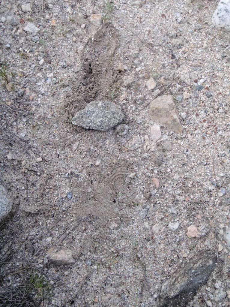
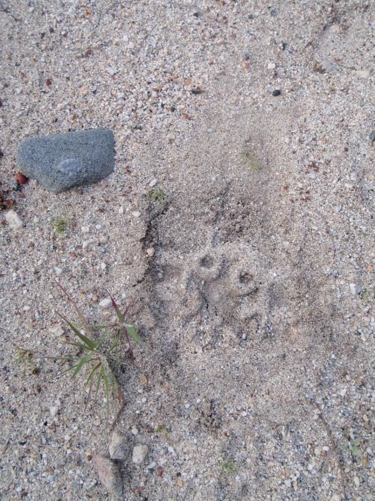
Small group, doubling back on their previous track and leaving a shitload of sign on easy ground, on a high speed trail intersection.
Heel-drag sign with Keds or some other sneaker
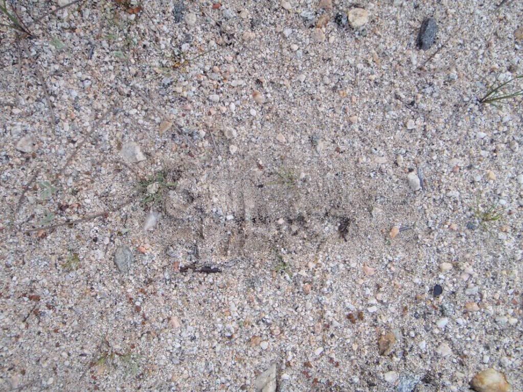
Unknown
Too easy!
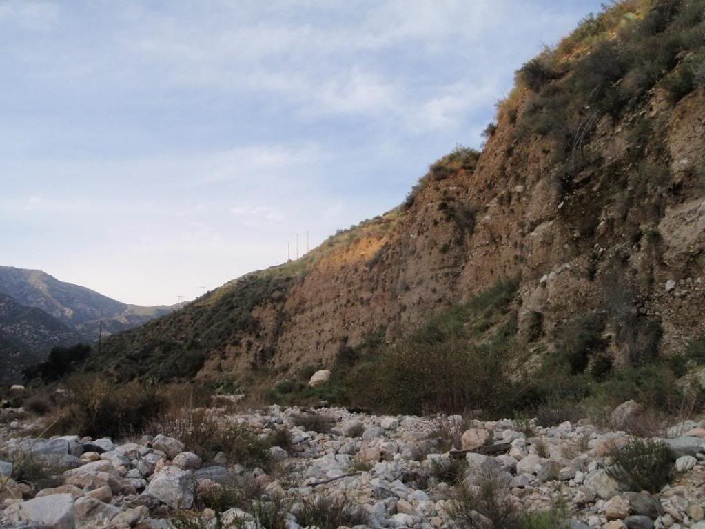
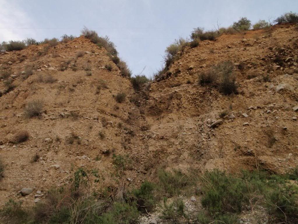
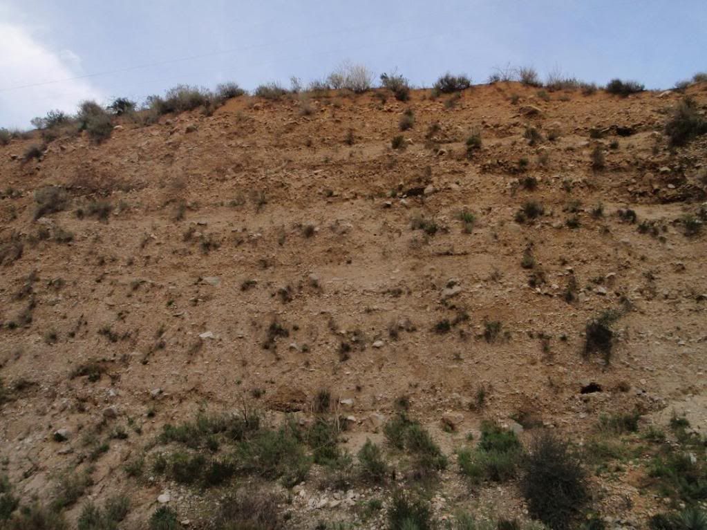
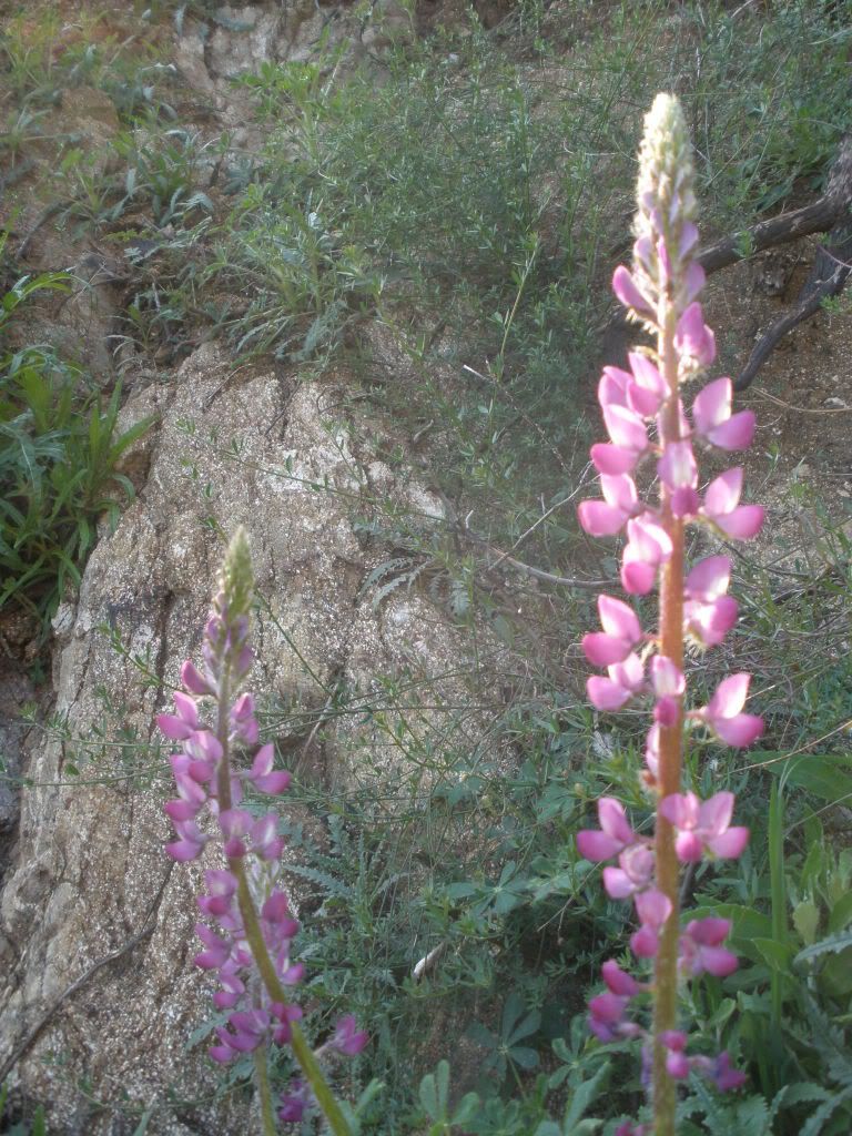
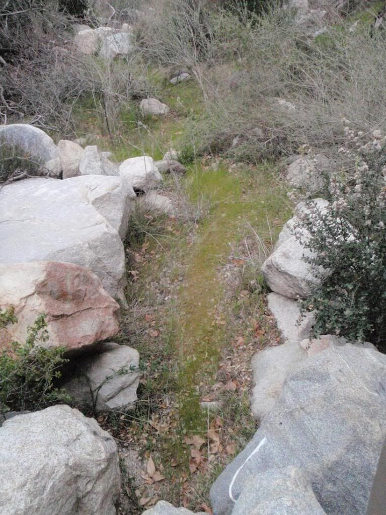
Good ol' San Gabriel Range VERTICAL DIRT.
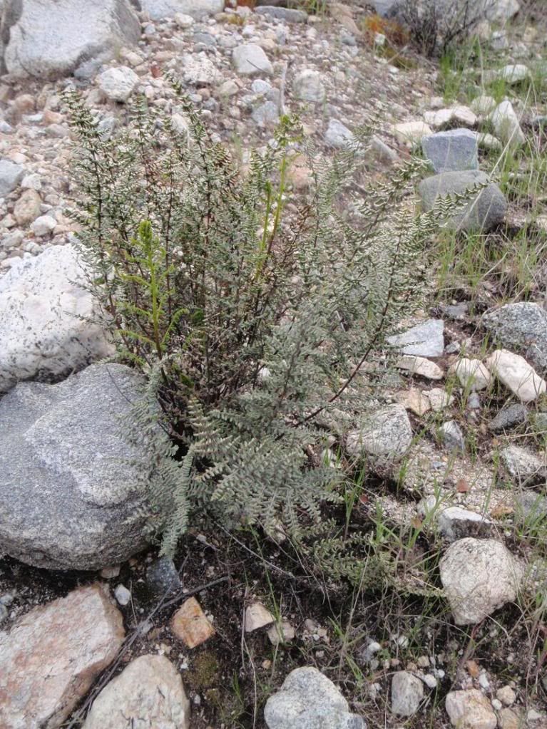
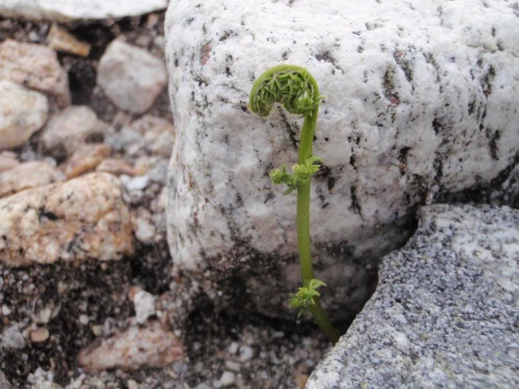
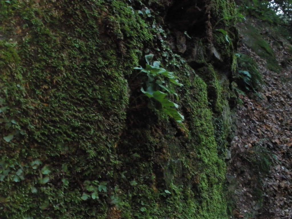
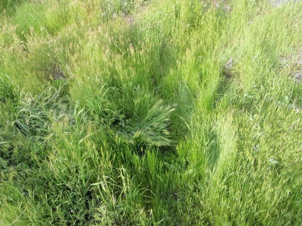
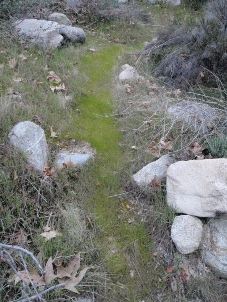
Very tough little fern, seems almost endemic due to how it grows.
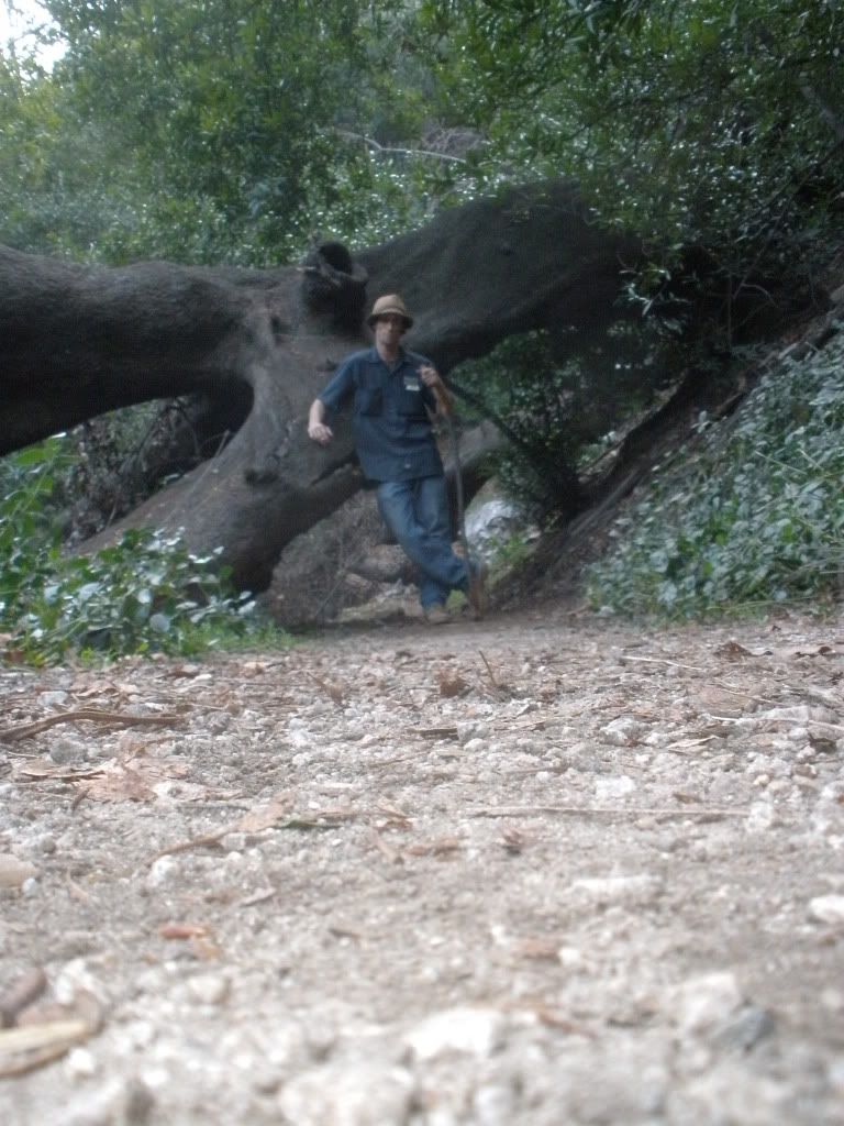
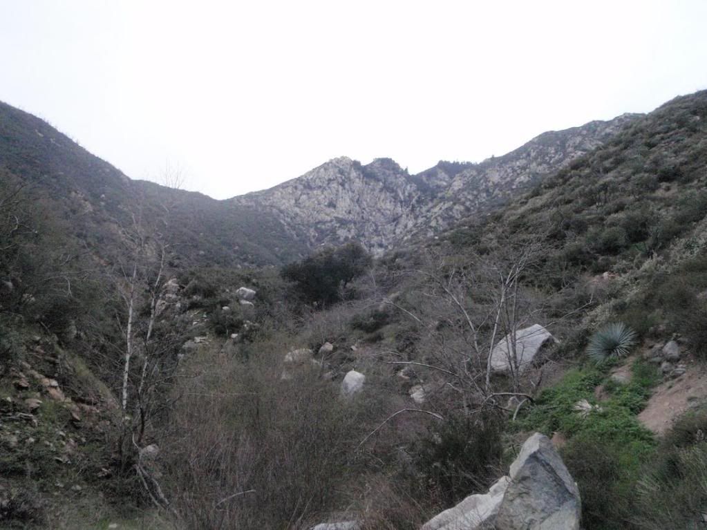
Headed into Lost Canyon. Nice views of something I've wanted for years now. If you're interested, lemme know.
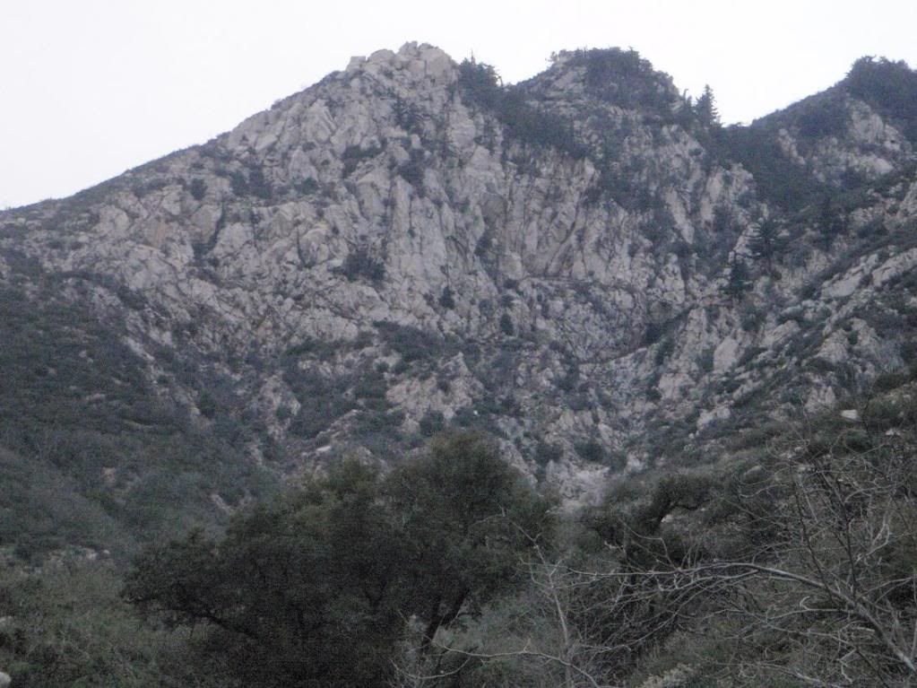
Eyes on the prize
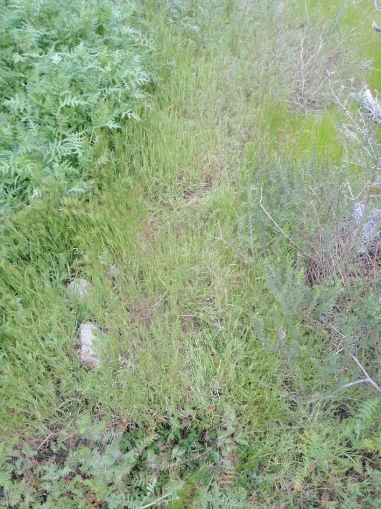
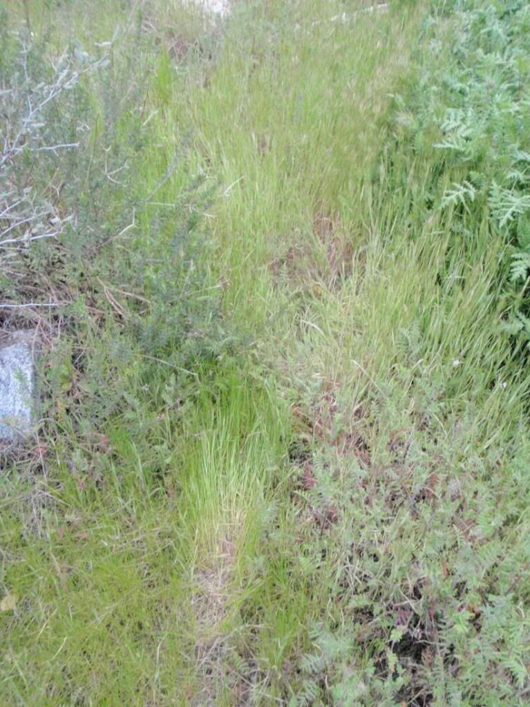
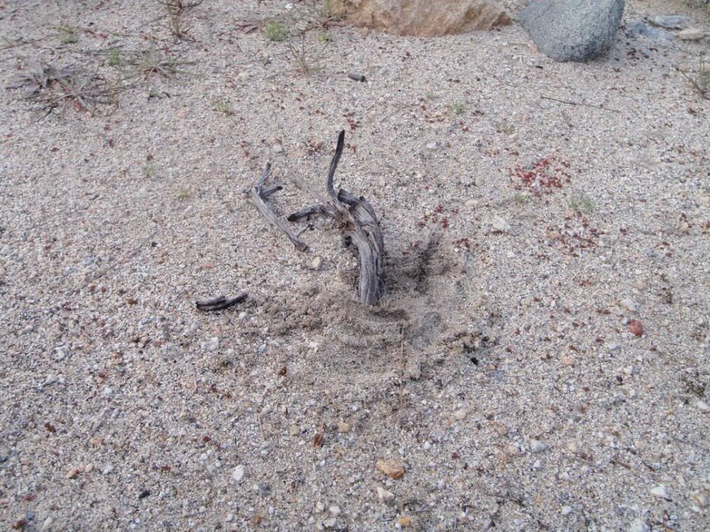
Various low sign on high-speed (animal) trails
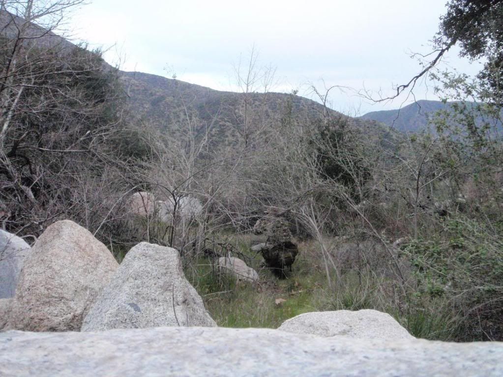
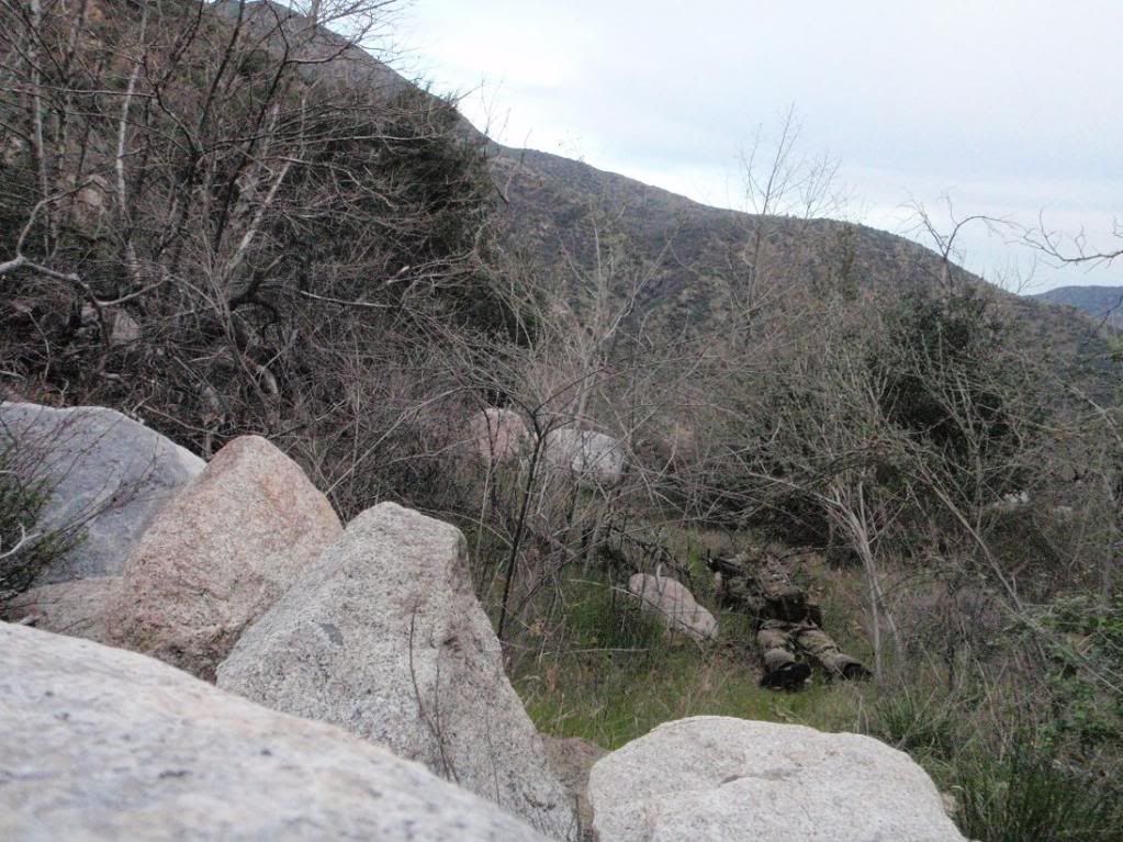
Modern camo pattern demo.
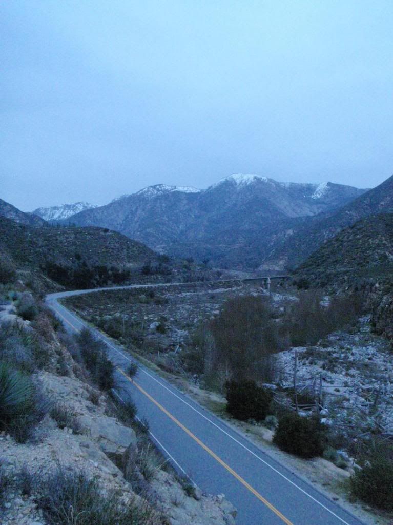
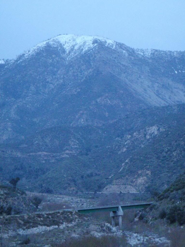
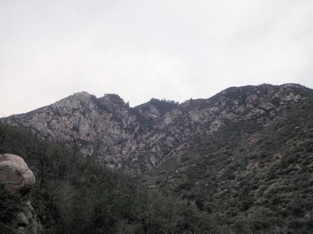
Name the peaks. Also, name the exact location of photographer for one (1) point, the only point that counts.
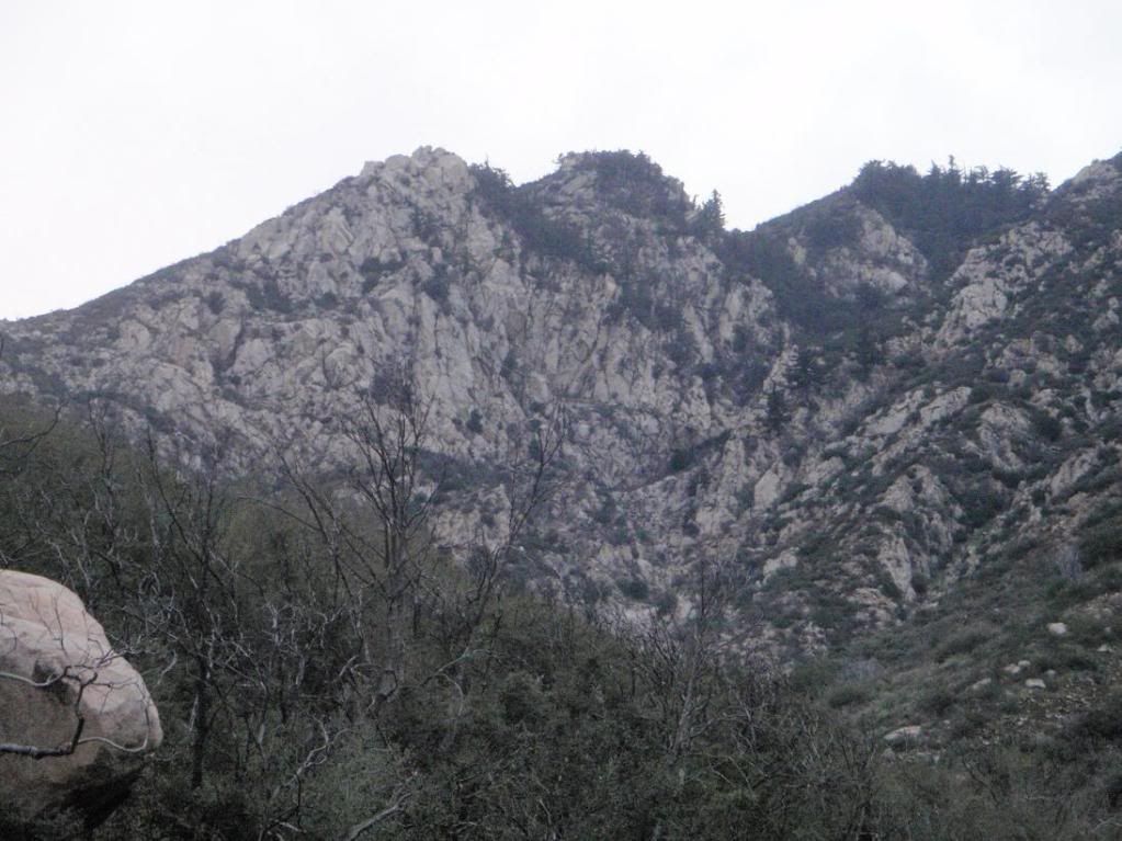
Artsy... also a hint.
Transciever light
Just sharing some pics.
HAH
Small group, doubling back on their previous track and leaving a shitload of sign on easy ground, on a high speed trail intersection.
Heel-drag sign with Keds or some other sneaker
Unknown
Too easy!
Good ol' San Gabriel Range VERTICAL DIRT.
Very tough little fern, seems almost endemic due to how it grows.
Headed into Lost Canyon. Nice views of something I've wanted for years now. If you're interested, lemme know.
Eyes on the prize
Various low sign on high-speed (animal) trails
Modern camo pattern demo.
Name the peaks. Also, name the exact location of photographer for one (1) point, the only point that counts.
Artsy... also a hint.
Transciever light
-
Sam Page
- Posts: 267
- Joined: Fri Sep 04, 2009 10:59 am
For some reason, the human tracking photos made my heart race a little. I don't have a clue where Lost Canyon is. How do you suppose the rock quality is?
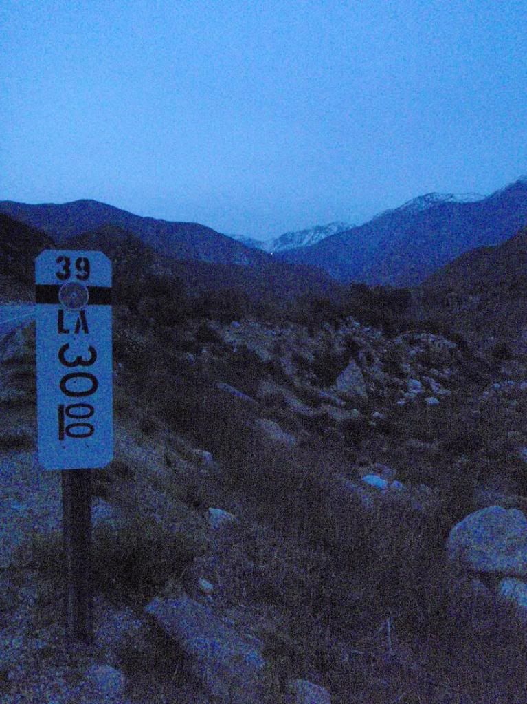
And now for some tangential questions: Can one drive a passenger car north on the 39 all the way to the 2? And how did you access your snow climb on Baden Powell a week or so ago? Were you on the south side of Baden Powell?
And now for some tangential questions: Can one drive a passenger car north on the 39 all the way to the 2? And how did you access your snow climb on Baden Powell a week or so ago? Were you on the south side of Baden Powell?
-
Taco
- Snownado survivor
- Posts: 6218
- Joined: Thu Sep 27, 2007 4:35 pm
Sam, one can only drive their car to the first locked gate about 1.5 miles north of the West Fork parking lot. If one had a key, it is possible to drive past Crystal Lake until the road turns north again. Beyond that, it is badly washed out.
Baden Powell is reached via HWY 2 from Wrightwood. We were on the NE Face.
Baden Powell is reached via HWY 2 from Wrightwood. We were on the NE Face.
-
AW~

- Posts: 2125
- Joined: Mon Oct 01, 2007 12:00 pm
How many points do I get for noting you were not in Lost canyon, but in double closed(well triple if you walked highway 39) area Smith East? I think you missed the trail....as it looks you were on the left side whereas the trail is on the right.
-
Taco
- Snownado survivor
- Posts: 6218
- Joined: Thu Sep 27, 2007 4:35 pm
I was, though the pics taken from the furthest point were not in Lost Canyon.AW wrote:How many points do I get for noting you were not in Lost canyon, but in double closed(well triple if you walked highway 39) area Smith East? I think you missed the trail....as it looks you were on the left side whereas the trail is on the right.


-
Taco
- Snownado survivor
- Posts: 6218
- Joined: Thu Sep 27, 2007 4:35 pm
HAHAHAH YES! Hope these shoes work.
So far, so good.
So far, so good.
-
obie
- Posts: 339
- Joined: Thu Jan 07, 2010 9:36 pm
El Moro
Section on 'Rattlesnake'

Old DH rig in the Visitor Center:


'Mach One'

Section on 'Rattlesnake'
Old DH rig in the Visitor Center:
'Mach One'