Our flight path led us east out of Upland, parallel to the ridge that is Ontario-Cucamonga Peaks, over the east face of Cucamonga, then back towards San Antonio Canyon, flying over Baldy Road. Flew over Cow and Cattle Canyon and got some cool shots. Headed over the north face of Baldy, then back to Cucamonga, over to Telegraph, to Harwood, and out.
Rather than put all the pics on here, I'll linkto the album, and then post a select few on here. I should have a video up soon on Youtube, but it might have failed to upload. We'll see later, and I'll upload it Thursday if it didn't make it.
Album: http://s6.photobucket.com/albums/y222/T ... 20Flyover/
Some selected pics:
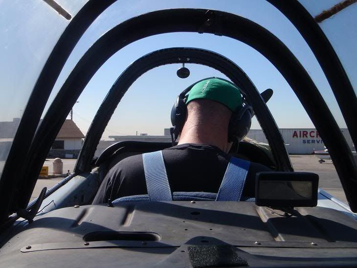
135Driver setting up
Myself
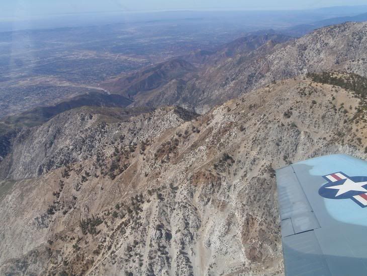
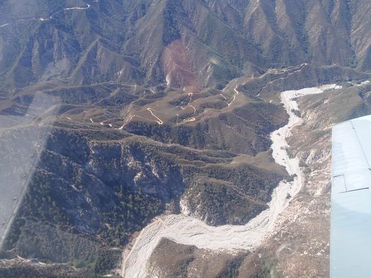
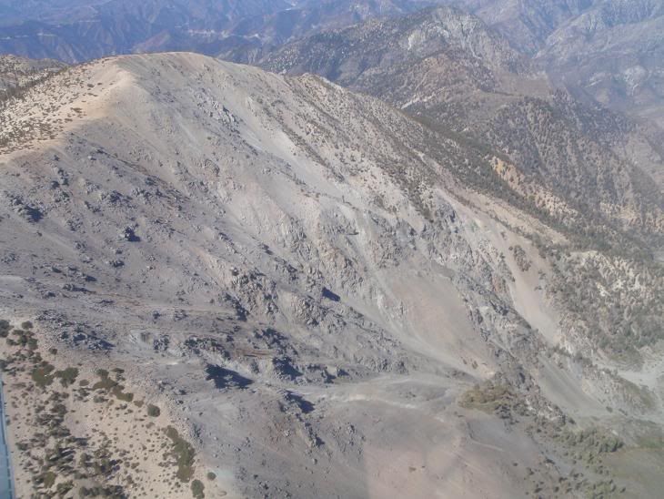
Cucamonga Peak with the various southern ridges dropping down into the valley
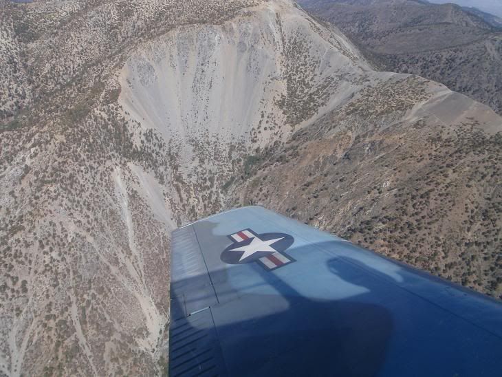
Baldy Bowl
My mountain!
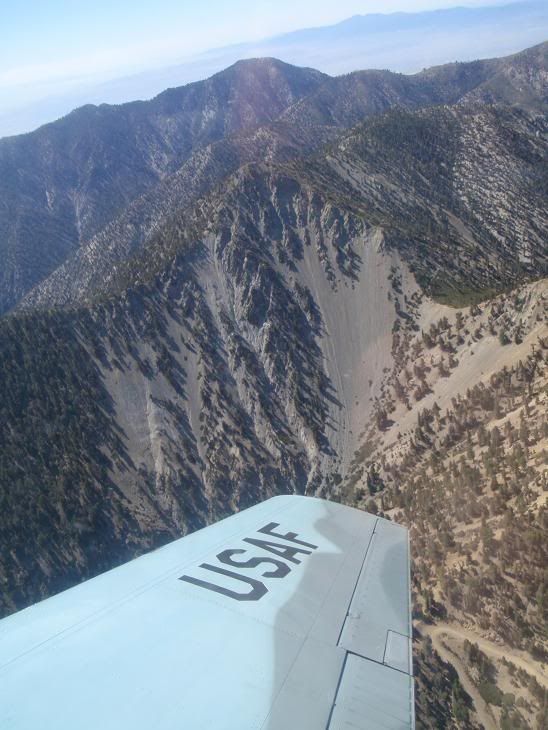
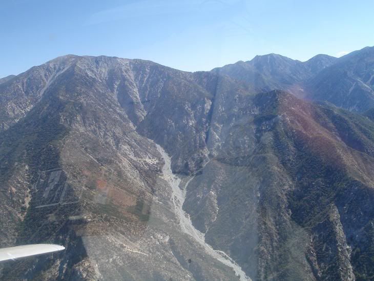
Baldy North Face
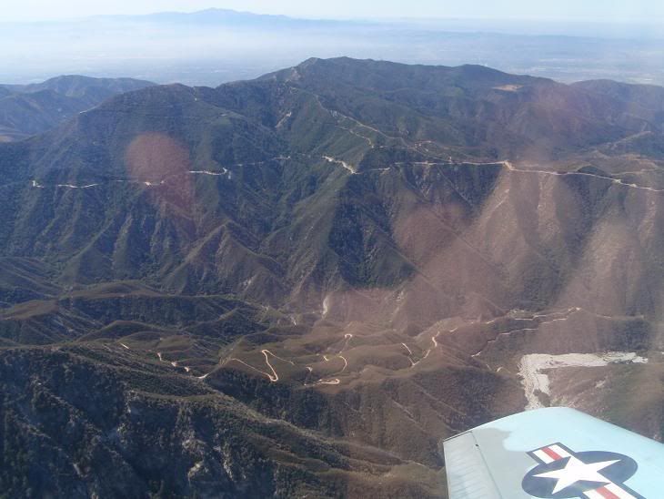
Glendora Ridge Road
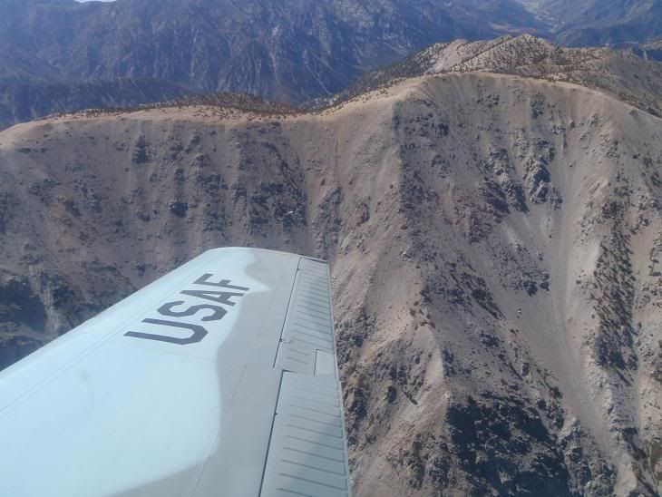
Baldy's South Face Couloirs, and the jagged and awesome looking west face and ribs of Lookout Mountain Ridge
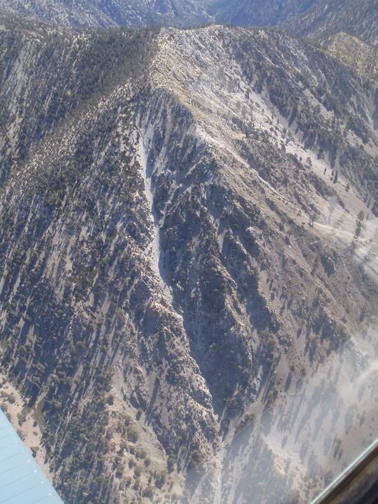
Telegraph Peak's West Face Couloir, attempted twice, should go this winter since I found a better method of getting there.
Thanks again dude for the badass flight! Tons of fun! Get ready to tear it up in winter!