
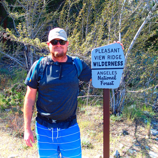
On Sunday 4/28/19 I attempted to summit Condor Peak via Trail Canyon.
The trail is officially unmaintained, but up to and a bit past Trail Canyon Falls it is very easy to follow due to the high amount of foot traffic it receives. After that, it gets a bit more dicey. There are countless stream crossings as you work your way up the canyon -- so many that I lost count. There are a handful of spots where it is easy to lose the trail, but a little probing around will help you find it. I encountered a few trail flags deeper in, but eventually even these stopped.
Long pants and sleeves are mandatory right now. You'll be wading through groves of poison oak and stinging nettle, the latter of which even pierced through my pants. I flicked a total of 19 ticks off of my pant legs throughout the hike as well.
I reached where Tom Lucas camp ought to be according to the map, but there was not a visible trace of it to be found. It is either washed away or inaccessible due to the growth this season.
Not far beyond Tom Lucas, ~4.75 miles from the start, is where I had to swallow my pride and turn back to the trailhead. The narrow canyon that the trail follows was too choked with brush to proceed. I attempted to circumvent it by bushwhacking up the steep northern slope, but after 30 minutes and maybe ~50 yards of total progress, I knew I wouldn't make it before my turnaround time.
This route is probably still doable in drier years, or in the winter. As of right now, I would recommend taking the Condor Peak trail up instead.
On the way back, I scouted a spot where I think you can gain the west ridge to ascend that way instead. It was very close to the top of the falls. I'll likely attempt this route next.
Condor Peak attempt via Trail Canyon
-
davidwiese

- Posts: 92
- Joined: Mon Jul 30, 2018 4:00 pm
You do not have the required permissions to view the files attached to this post.
-
David R
- OG of the SG
- Posts: 687
- Joined: Sun Jun 12, 2011 10:28 pm
I did the same hike earlier this year and last year. I think the only way to keep moving forward is to stay in or next to the creek bed, the brush on the slopes is too much.
-
davidwiese
- Posts: 92
- Joined: Mon Jul 30, 2018 4:00 pm
Yea, that's the only other option I was considering, but even now there is just too much growth for that.
-
tallsquirrel
- Posts: 25
- Joined: Thu Nov 16, 2017 6:37 pm
Thanks for this. I had Tom Lucas on my list as a one night backpack trip. It sure would've been frustrating and disappointing to go all the way out there and not find the trail camp!
-
davidwiese
- Posts: 92
- Joined: Mon Jul 30, 2018 4:00 pm
There actually is a campsite with a fire ring just about 3 miles in (about a mile before where Tom Lucas should be). It's right against the trail but seemed pretty nice. I snapped a pic and created a waypoint in Gaia. I'll attach the GPX waypoint to this post.nelange wrote: Thanks for this. I had Tom Lucas on my list as a one night backpack trip. It sure would've been frustrating and disappointing to go all the way out there and not find the trail camp!
You do not have the required permissions to view the files attached to this post.
-
tekewin

- Posts: 1414
- Joined: Thu Apr 11, 2013 5:07 pm
Good effort. The rain has created mutant growth in grass and brush. Early winter is probably the best time to attempt it, before the ticks are out in force. Sean and Cecelia had quite adventure coming down from Condor that way.
-
Sean

- Cucamonga
- Posts: 4417
- Joined: Wed Jul 27, 2011 12:32 pm
Yeah, the upper part of that canyon is murder. A volunteer crew has started working it from the top.
-
carl swindle
- Posts: 65
- Joined: Wed Jan 31, 2024 8:52 pm
Has anyone been to the upper part of this canyon recently? I did it a while ago without looking at a map or anything and I remember it being pretty bad. I was recently looking at parts of Google Maps and it seems like some sections of the trail linking Condor Peak to Trail Canyon Falls may be intact to some degree. I was thinking about going up the Condor Peak Trail and retuning along the trail that goes into the canyon leading to Trail Canyon Falls and eventually Big Tujunga, but I'm hoping not to get slowed down too much by vegetation unless I plan on it.
-
David R
- OG of the SG
- Posts: 687
- Joined: Sun Jun 12, 2011 10:28 pm
Here you go it was quite brushy a year ago.carl swindle wrote: Wed Feb 05, 2025 5:21 pm Has anyone been to the upper part of this canyon recently? I did it a while ago without looking at a map or anything and I remember it being pretty bad. I was recently looking at parts of Google Maps and it seems like some sections of the trail linking Condor Peak to Trail Canyon Falls may be intact to some degree. I was thinking about going up the Condor Peak Trail and retuning along the trail that goes into the canyon leading to Trail Canyon Falls and eventually Big Tujunga, but I'm hoping not to get slowed down too much by vegetation unless I plan on it.
viewtopic.php?t=9083
-
carl swindle
- Posts: 65
- Joined: Wed Jan 31, 2024 8:52 pm
Thanks, this is good to know. If/when I do attempt the loop, I'll be sure to set aside a few extra hours.
-
David R
- OG of the SG
- Posts: 687
- Joined: Sun Jun 12, 2011 10:28 pm
I was up there yesterday via the regular route and that trail is in great shape all the way to Condor so no worries there. Bikers have been using the route again. The trail is getting more use now that so much of the forest is closed. I passed three solo hikers and one large group, typically I see no one or at most one other party.
-
carl swindle
- Posts: 65
- Joined: Wed Jan 31, 2024 8:52 pm
Thanks for the update! I may try Condor Peak and then going up Trail Canyon another time before attempting the loop.