

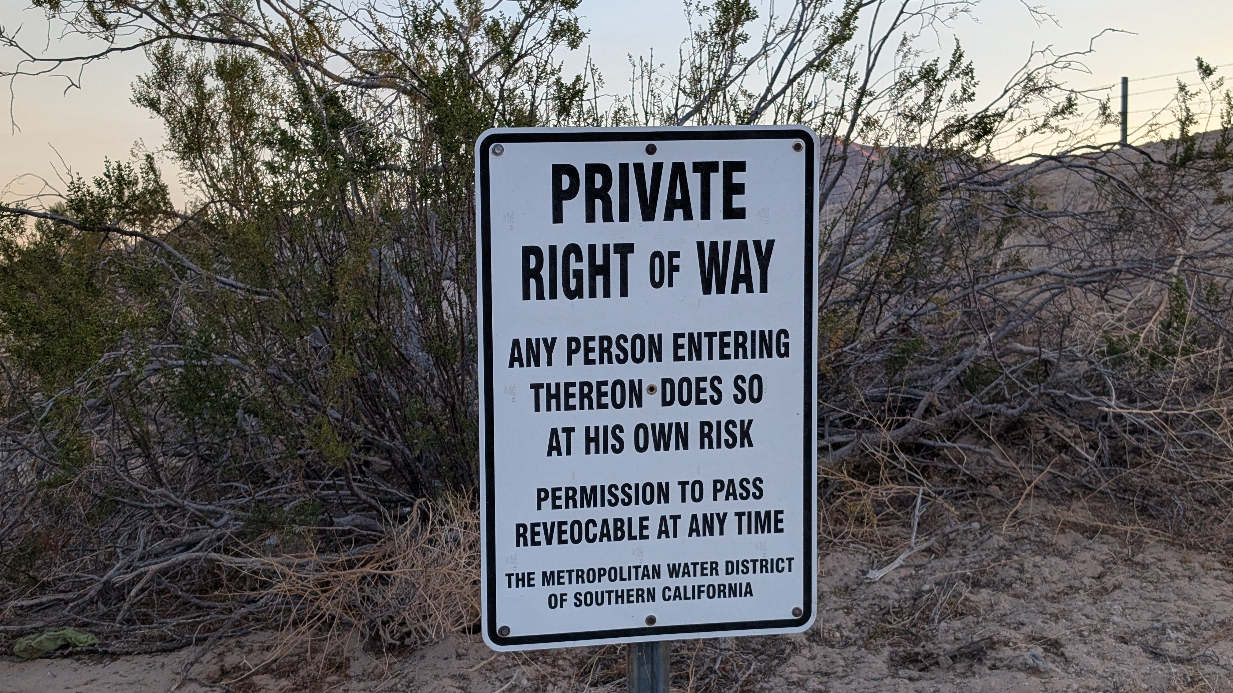
This was one of two small Iron Mountain ranges in San Bernardino County. This range was unique in that a 7+ mile tunnel runs under it as part of the Colorado Aqueduct system. It delivers water from the Colorado river to Lake Mathews in the Inland Empire. A pumping station on the east side pushes water up and through the mountains. The tunnel runs just north of the high point and exits at the West Portal. I started at the end of the dirt road alongside the aqueduct on the west side. The road was signed as private, but open to use. It was very smooth and I was able to cruise at 30-40 mph to the end.

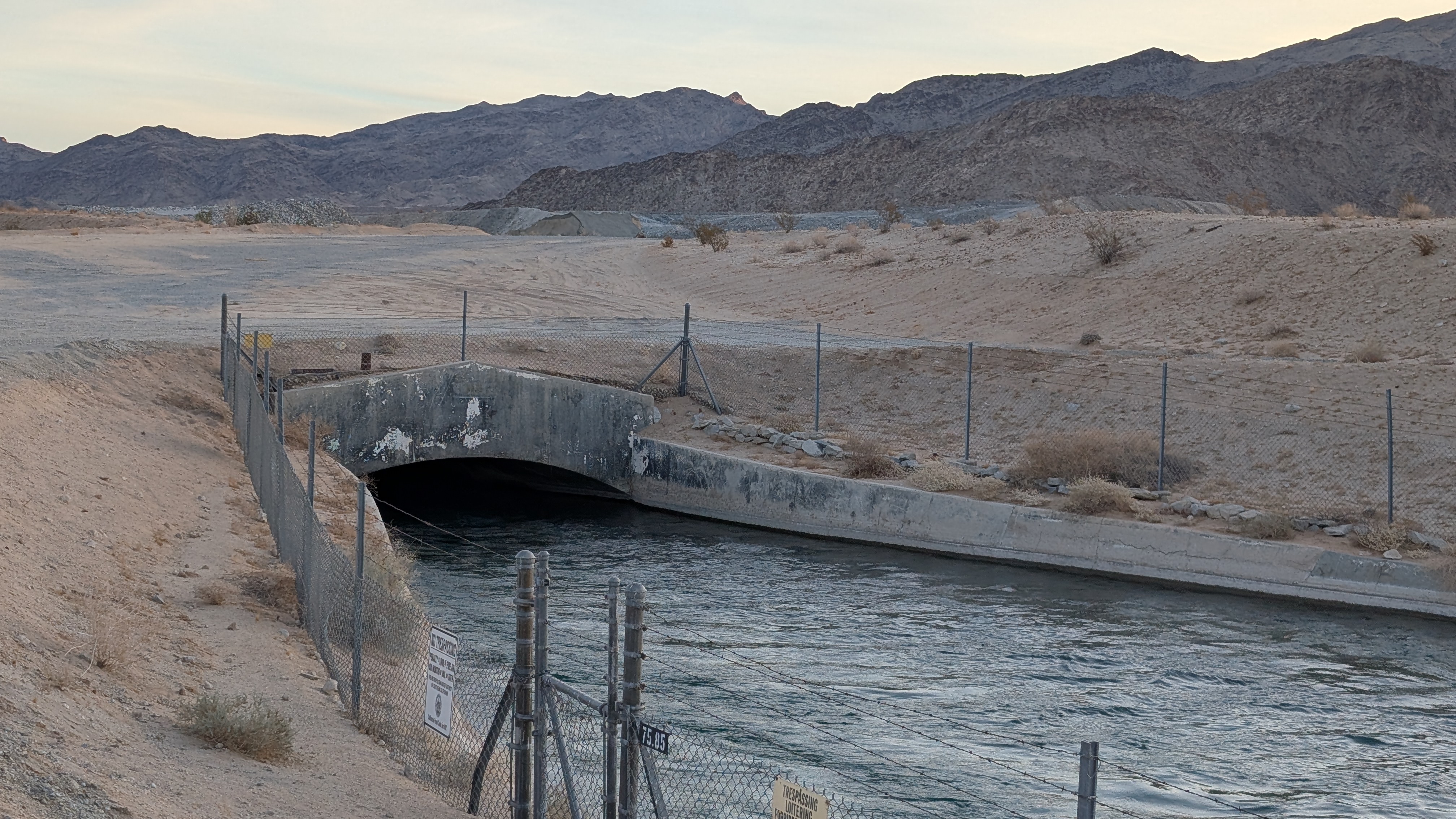
West portal where the water comes out
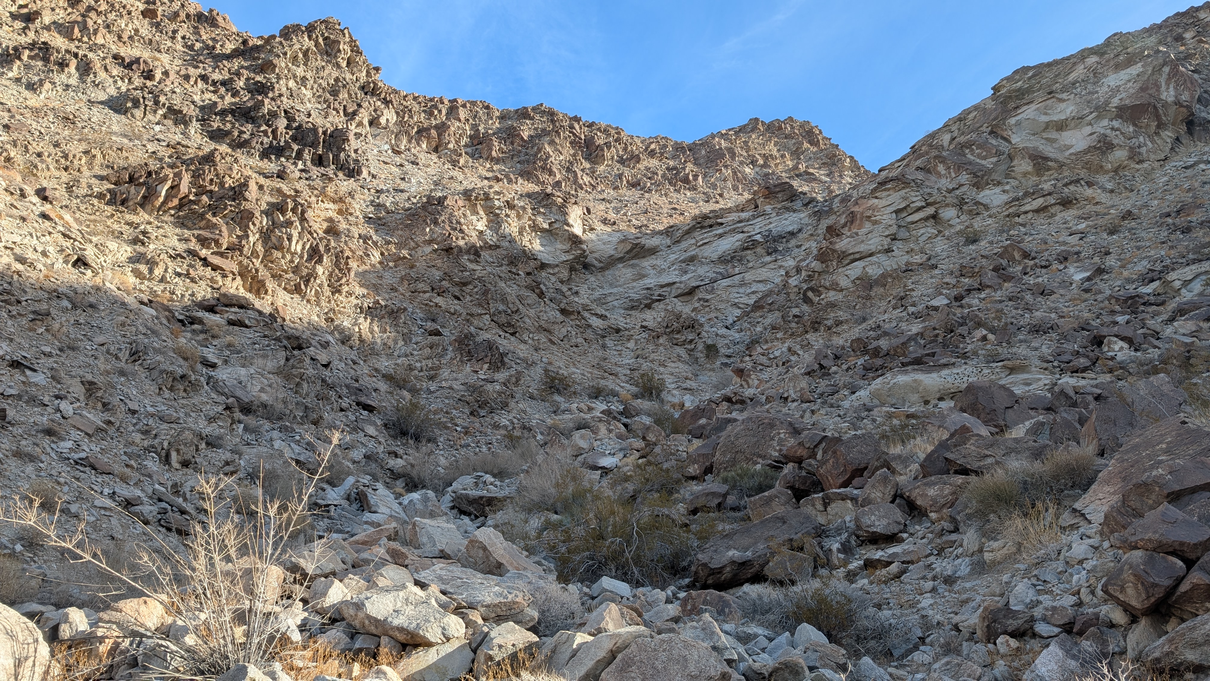
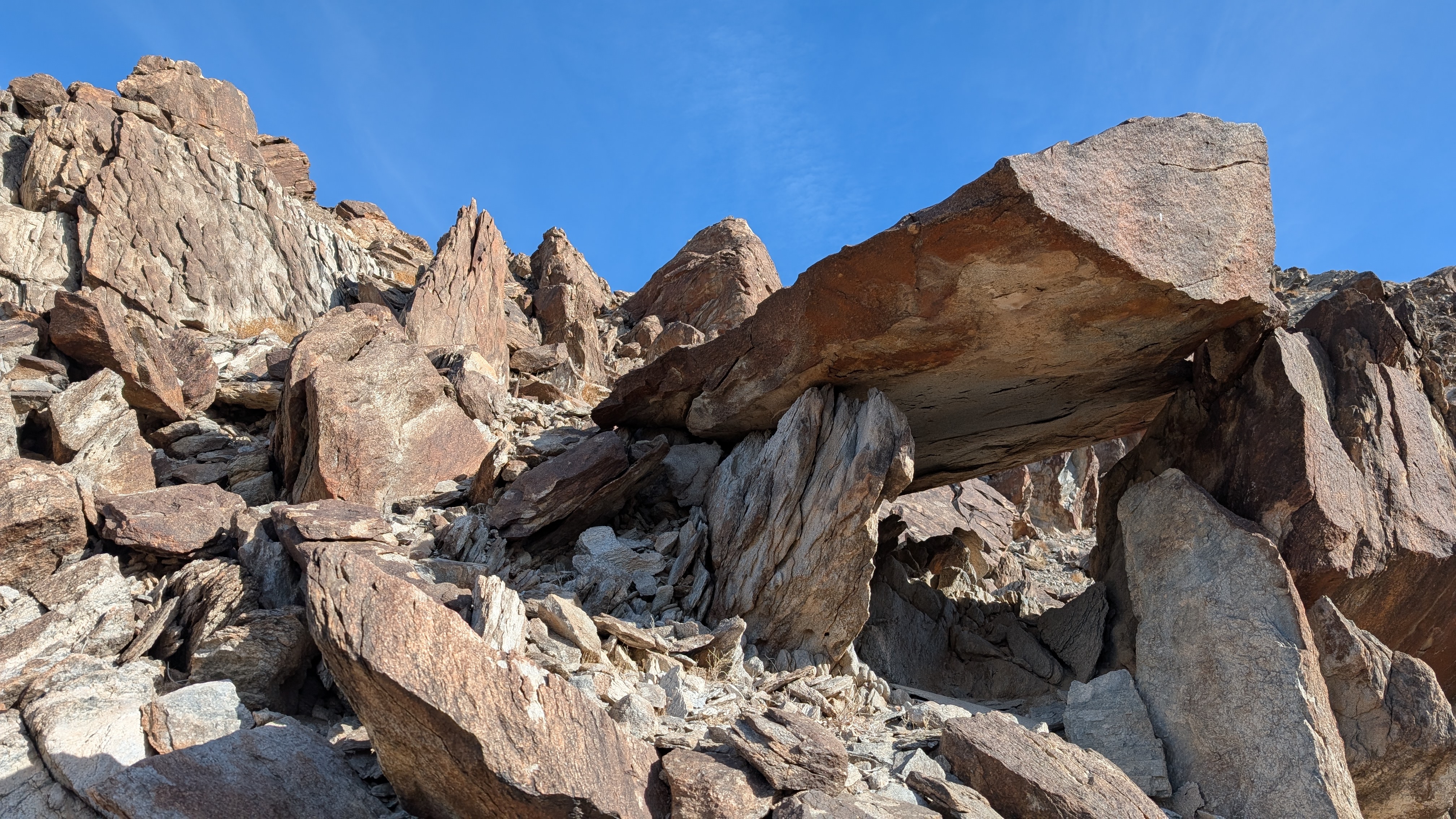
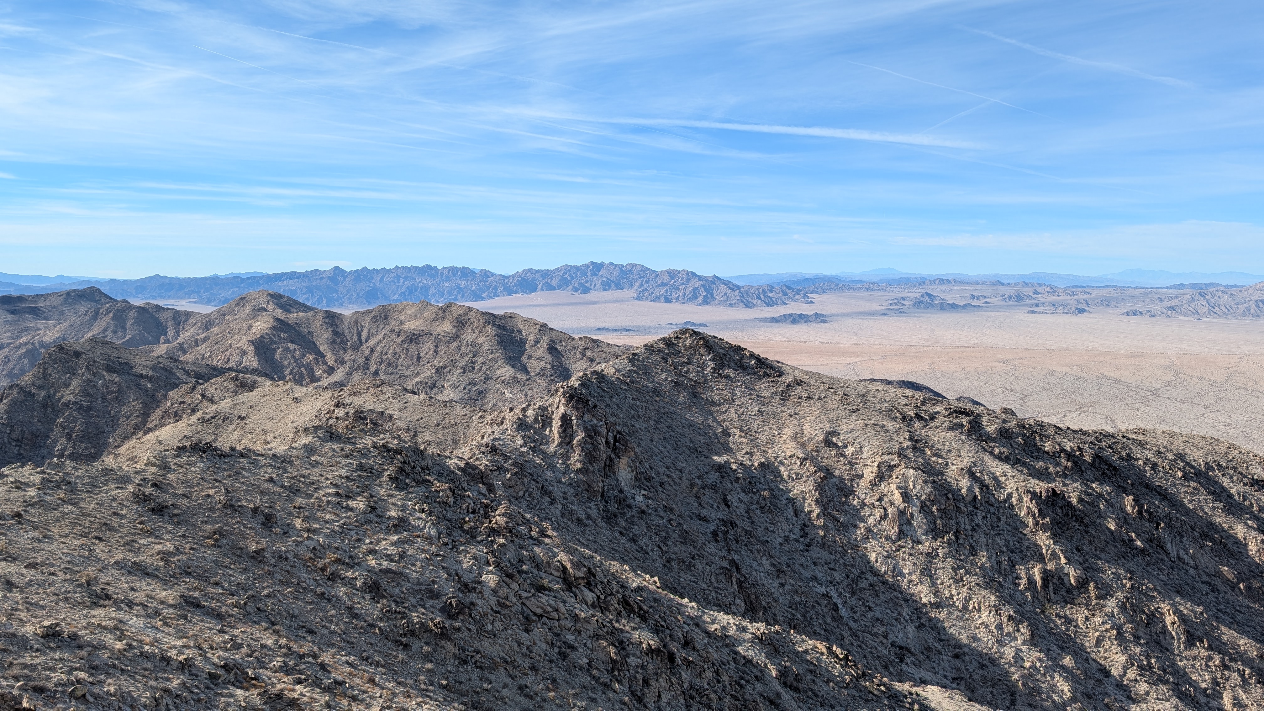
The first couple of miles were flat, open desert, as I passed the outstretched arms of jagged ridges. Then, it got rockier with bowling ball sized rocks and many deep washes (10-30') to cross. I started up the main gully, then climbed up to the ridge where the going was easier. I dropped off the ridge to avoid some obstacles but nothing was more than class 2.


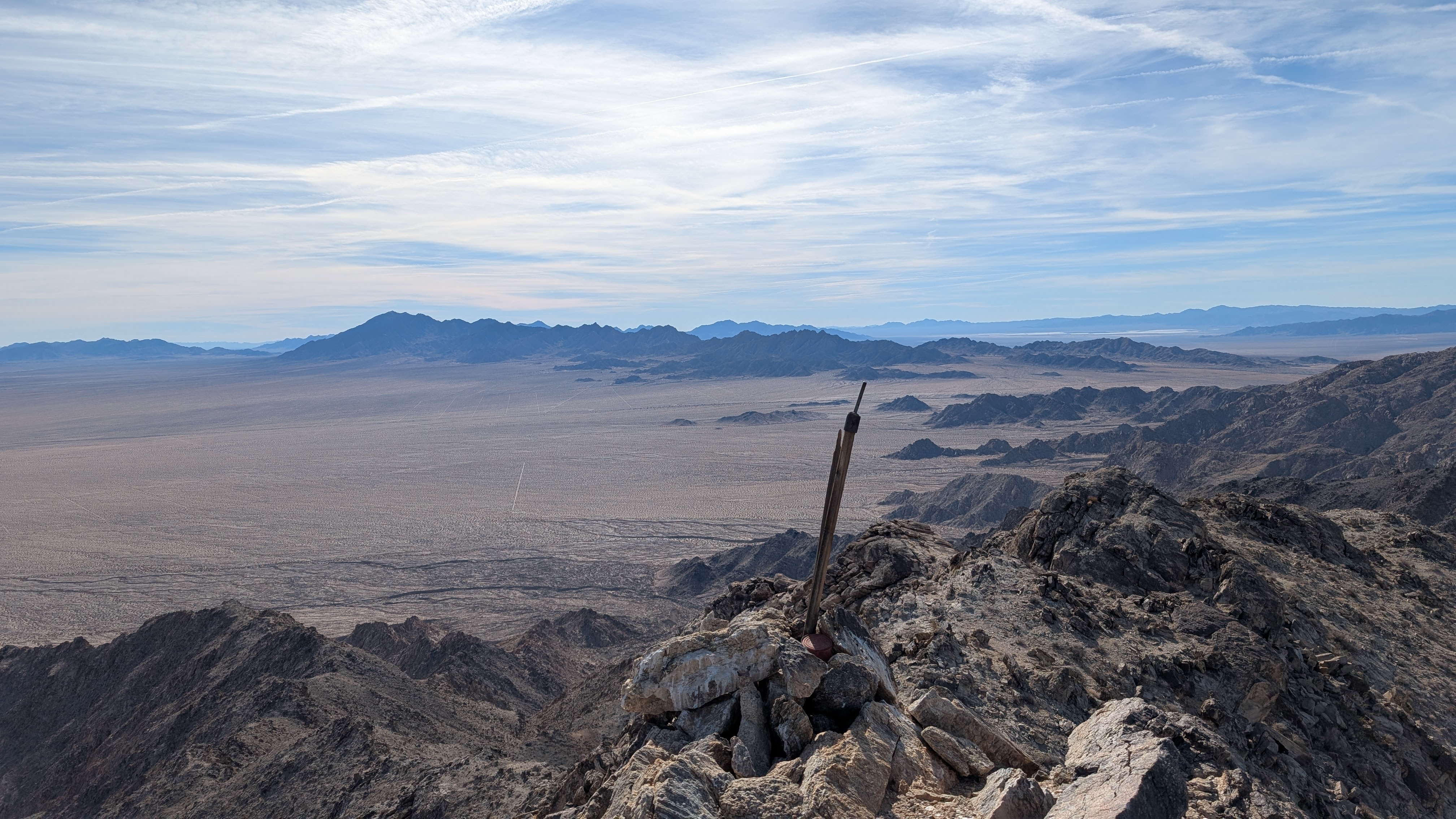
Summit in view
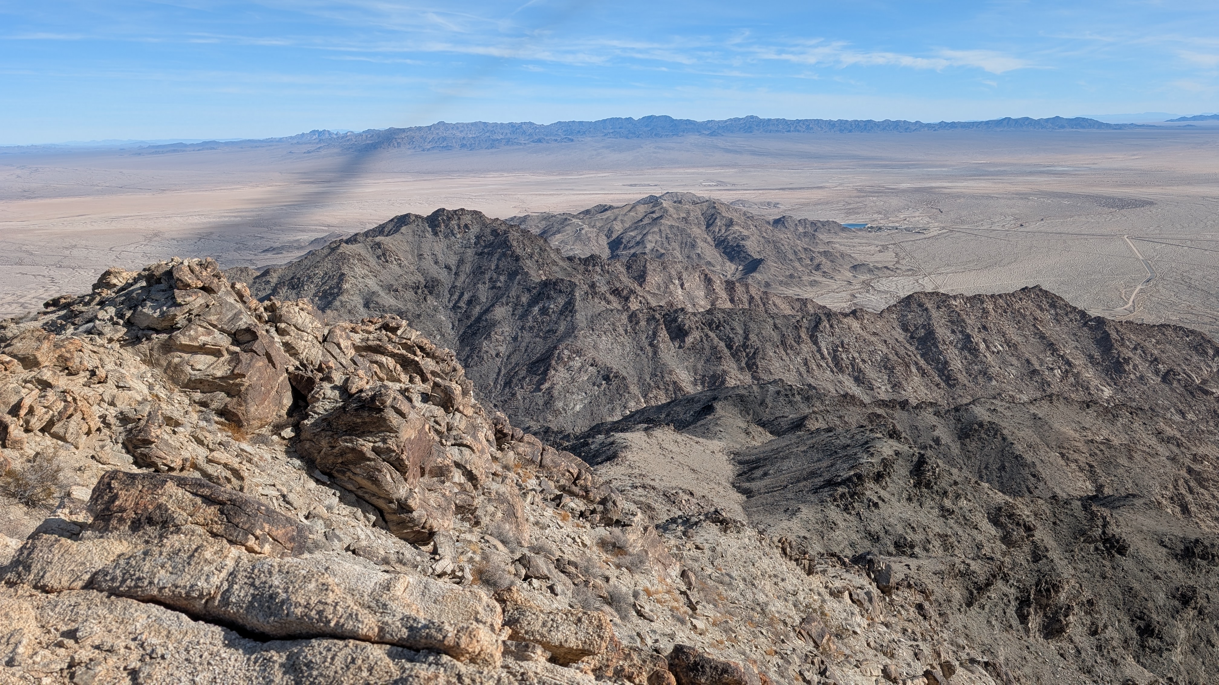
East portal reservoir visible below
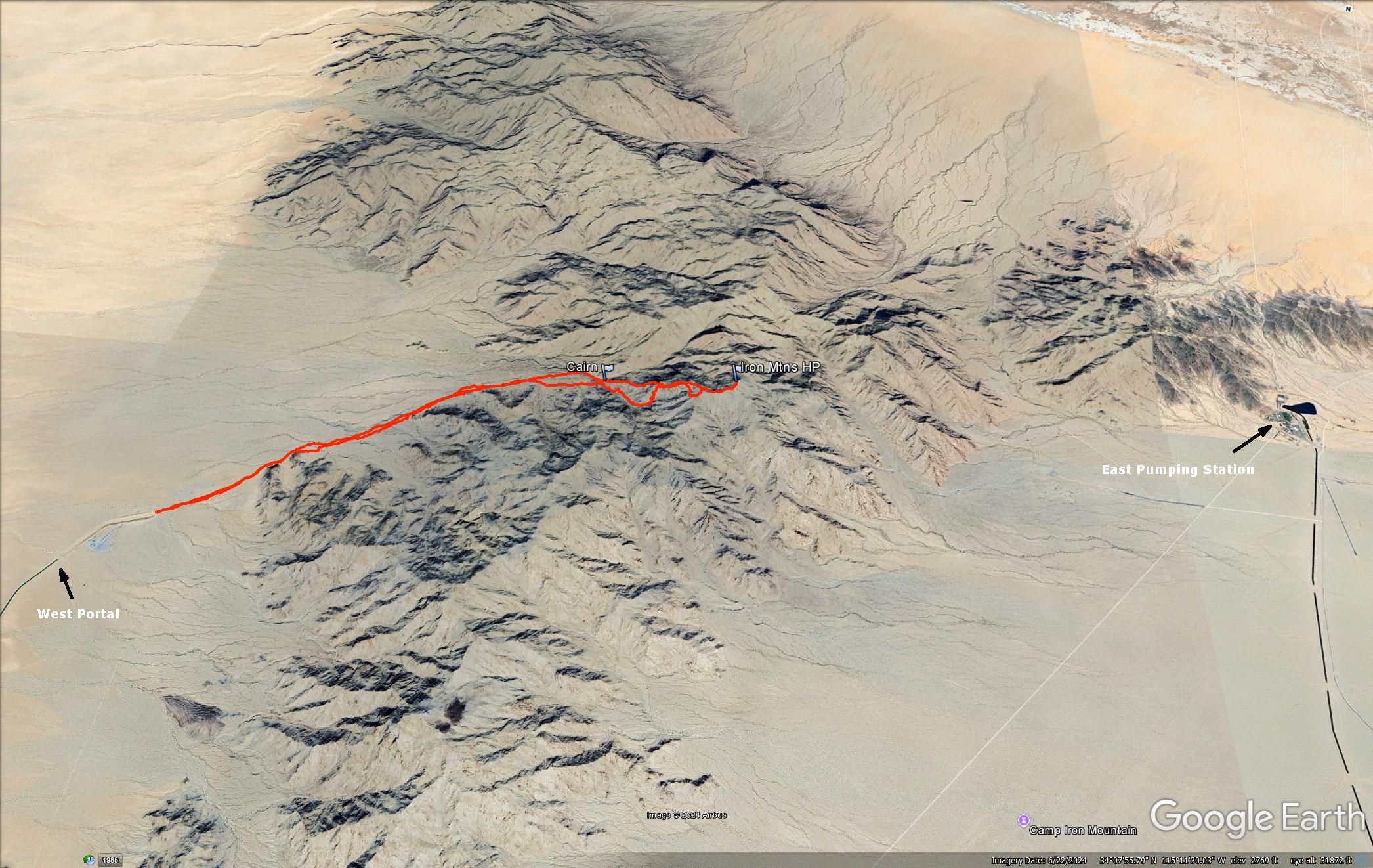
It was a shorter distance to approach from the east side, but I've read a couple of reports of people being chased away by Aqueduct employees. I didn't want to roll the dice. 9.7 miles, 2700' gain.

