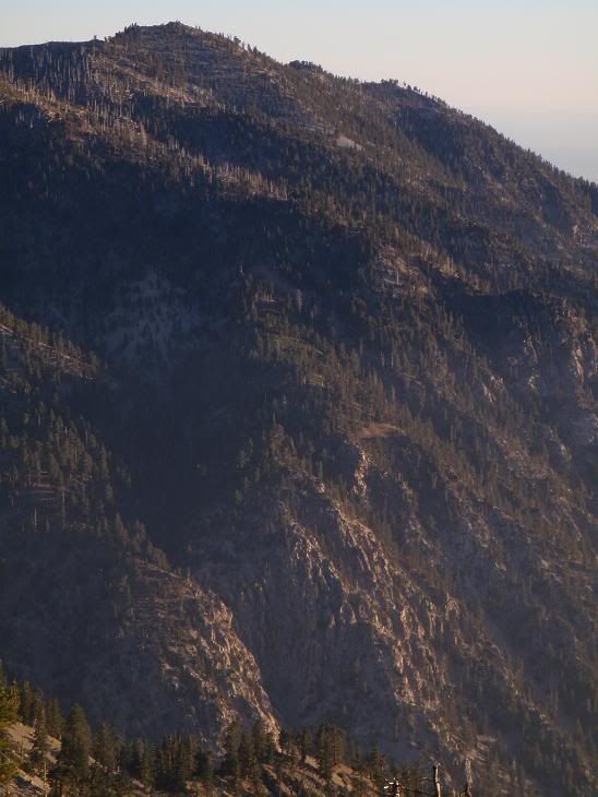
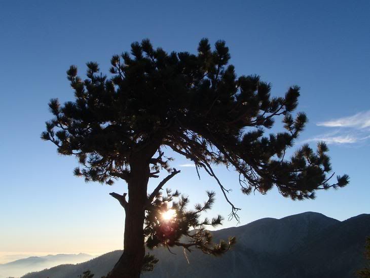
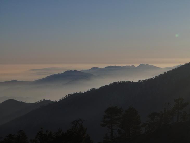
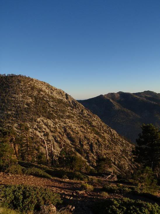
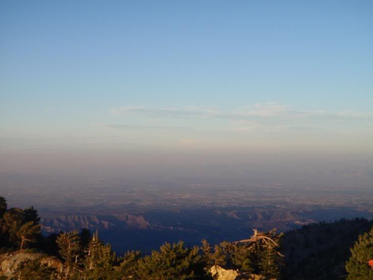
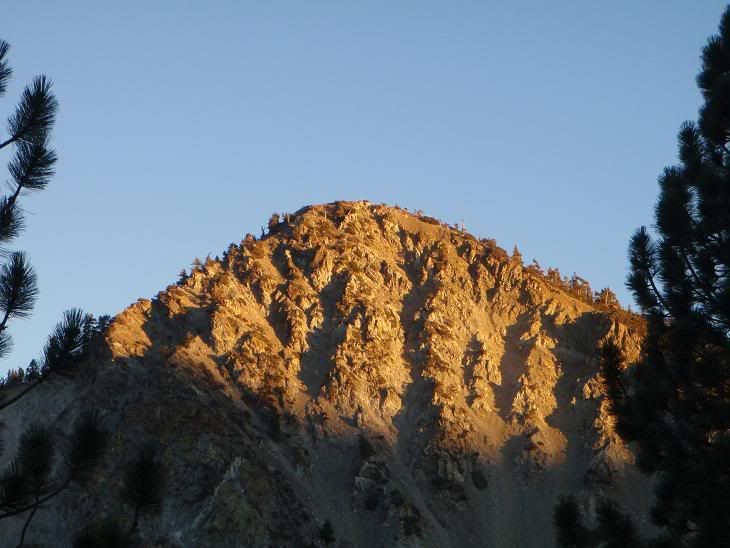
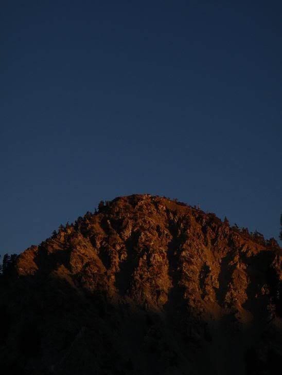
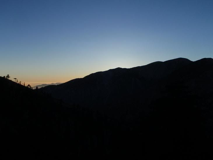
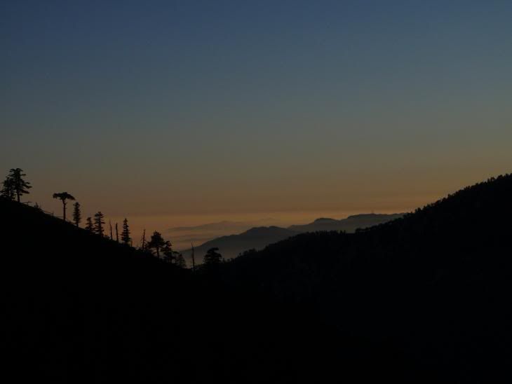
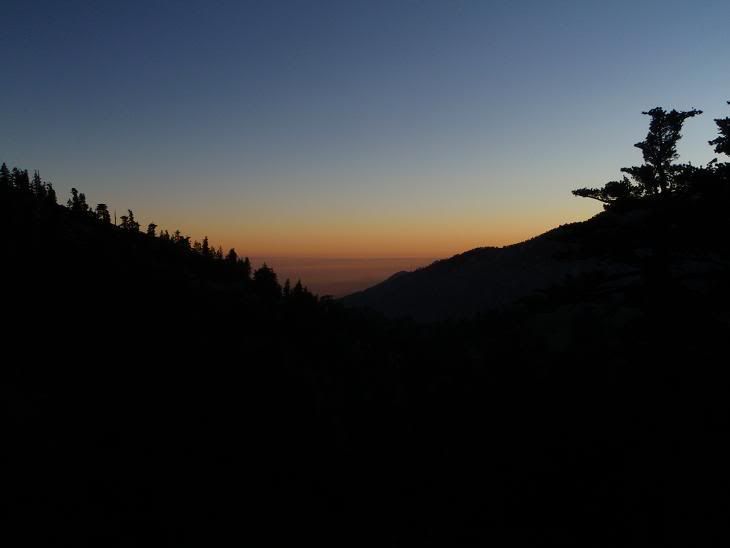
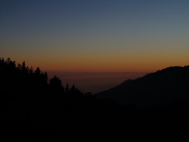
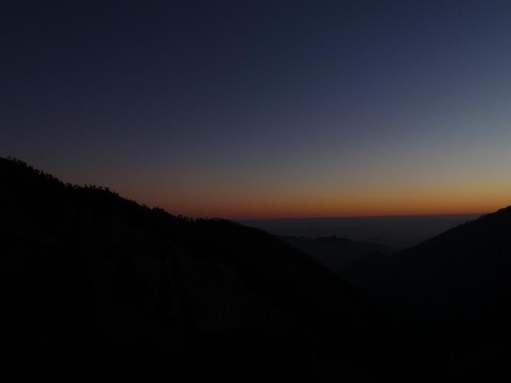
2008019 Thunder Mountain at Sunset

TRs for the San Gabriel Mountains.
Post Reply
User avatar
Taco
Snownado survivor
Posts: 6036
Joined: Thu Sep 27, 2007 4:35 pm

Post by Taco »

Some of y'all motivated me to see how fast I could get to the summit of Baldy, and back down (while stopping the time at the top to see the sunset and stars). I wanted to combine this with a night hike, as I usually do the Devil's Backbone at night, since the views kick ass.

I ran from the waterfalls up about 200 meters, and stopped running. :lol: Not used to running at altitude, uphill. :lol:

Did not see the moon, and I'd rather not be up high without a moon. Decided to go check out Telegraph for some winter climbs. Got to the top of Thunder Mountain, and took some shots. Decided to turn home and not go to Telegraph.

After heading back down the dirt road to Wanker Flat, I decided to run after that outhouse type structure with pipes. From there to the car took 15 minutes.

Photos:
Image
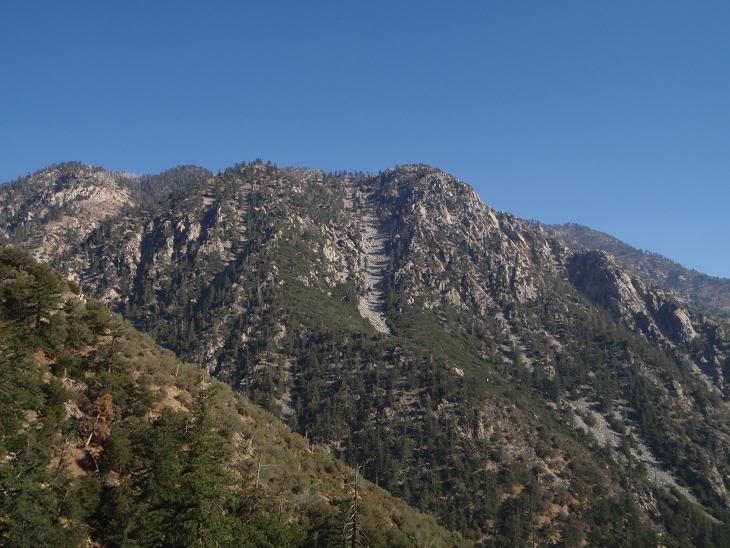
Sugarloaf, might try that big gully in winter.
Image
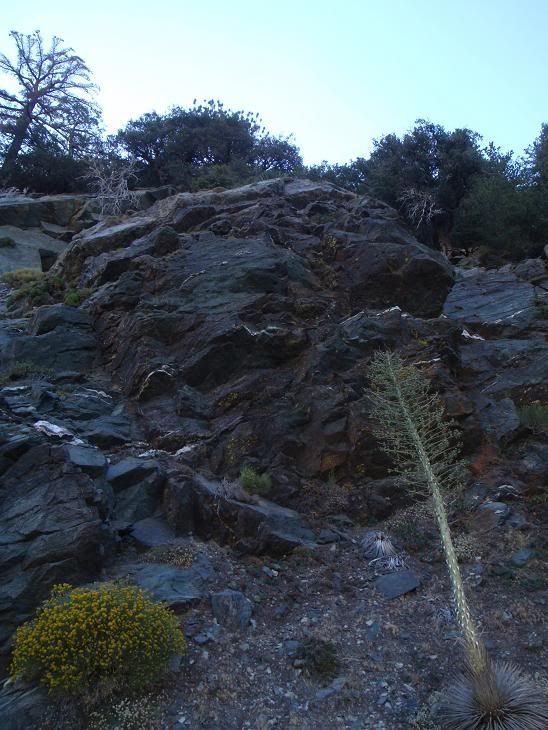
Neat crag on the dirt road to the notch.
Image
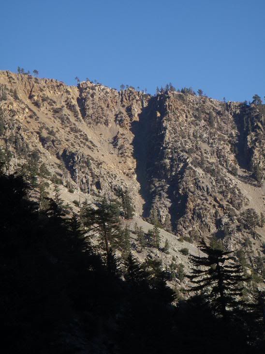
Lightning Couloir, a fun short winter alpine climb that ices up. Throws missiles at you in the morning.
Image
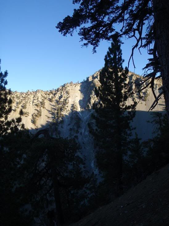
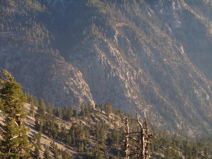
Big gully up Telegraph to the shoulder.
Image
Image
Sheep Canyon, where I've been doing lotsa climbing.
Image
Image
Image
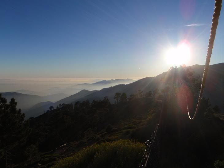
From the top of Thunder

Image
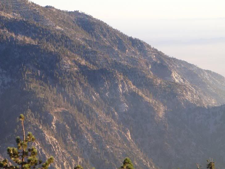
Looking towards Telegraph Peak's awesome west face, gotta nab it on try number three.
Image
Crags on Ontario

Image
High Desert

Image
Image
Telegraph

Image
Image
Image
Image
Image
Stuff
User avatar
HikeUp
Posts: 3932
Joined: Thu Sep 27, 2007 9:21 pm

Post by HikeUp »

Great pictures. Sheep Cyn looks gnarly from that angle.

I was up Thunder Mt./Telegraph Pk. a couple weeks ago and was wondering about a couple things...

Have you explored Coldwater Canyon and/or Cedar Canyon (the two canyon's that start at the saddle between Thunder and Telegraph - Coldwater to the north and Cedar to the south)? I was really curious if you could head down Cedar Canyon as a short cut back to Icehouse Cyn parking lot. I vaguely remember seeing a post about this awhile back but can't find it.

Anyone ever ascended Telegraph via the northerly ridge(s) from North Fork Lytle? Didn't look like it would be too much of a bushwhack.
User avatar
Dudley Heinsbergen
Posts: 109
Joined: Tue Jan 22, 2008 9:02 pm

Post by Dudley Heinsbergen »

im no trail runner, but once last winter i was coming back down from baldy, 3 miles from the Hut to Wanker flats took me 22 minutes.

but i didnt take the trail-i glissaded down the gully
User avatar
Taco
Snownado survivor
Posts: 6036
Joined: Thu Sep 27, 2007 4:35 pm

Post by Taco »

I've been in parts of Coldwater, but not enough to say much. I'm 90% sure you could easily go down Cedar to Icehouse, with the primary obstacle being manzanita.
User avatar
HikeUp
Posts: 3932
Joined: Thu Sep 27, 2007 9:21 pm

Post by HikeUp »

TacoDelRio wrote:I've been in parts of Coldwater, but not enough to say much. I'm 90% sure you could easily go down Cedar to Icehouse, with the primary obstacle being manzanita.
Thanks. Other than Manzanita, the topo on Cedar Canyon looks good, with this spot being the "crux", so to speak.
User avatar
Taco
Snownado survivor
Posts: 6036
Joined: Thu Sep 27, 2007 4:35 pm

Post by Taco »

Isn't that about where Chapman Trail is?
User avatar
HikeUp
Posts: 3932
Joined: Thu Sep 27, 2007 9:21 pm

Post by HikeUp »

TacoDelRio wrote:Isn't that about where Chapman Trail is?
Yes, I believe it is just north/above the Chapman trail...Looks like a steep manzanita hell to get from the point on the map to the Chapman Trail. But I'm basing that on the google earth view. Maybe it can be bypassed on the west side slopes of Cedar. Just curious. Will look up from Chapman next time I'm in that area.
User avatar
Taco
Snownado survivor
Posts: 6036
Joined: Thu Sep 27, 2007 4:35 pm

Post by Taco »

Looks like it would take a lot of snow to go over it! :lol:

I hope to traverse Thunder's South Ridge sometime in winter to see how it is. There are some scree "ramps" that may make for a good quick way off the mountain in a storm, leading you back to Chapman Trail, or down to Icehouse.
User avatar
He219
Posts: 386
Joined: Thu Sep 27, 2007 11:18 pm

Post by He219 »

Nice pix, looking forward to winter climbing there ..
:)
User avatar
Dudley Heinsbergen
Posts: 109
Joined: Tue Jan 22, 2008 9:02 pm

Post by Dudley Heinsbergen »

i went down cedar canyon from Telegraph last year. it was really nice shale that you could essentially rollerblade down. we got down pretty fast. but right where the upper canyon meets the trail camp and the trail there is about 300-500 feet of impassible manzanita. we were stuck in it for about 20 minutes and had cuts on my arms and neck from the thorns.

if i ever go down that canyon again, i will know to keep on the south side of the canyon and stay high.[/quote]
User avatar
HikeUp
Posts: 3932
Joined: Thu Sep 27, 2007 9:21 pm

Post by HikeUp »

Dudley Heinsbergen wrote:i went down cedar canyon from Telegraph last year. it was really nice shale that you could essentially rollerblade down. we got down pretty fast. but right where the upper canyon meets the trail camp and the trail there is about 300-500 feet of impassible manzanita. we were stuck in it for about 20 minutes and had cuts on my arms and neck from the thorns.

if i ever go down that canyon again, i will know to keep on the south side of the canyon and stay high.
Thanks for the first hand info. This confirms what it looks like on the satellite image of that area. A big blob of manzanita. Going around it looks feasible but ya never know until you get there. Thanks again.
Post Reply