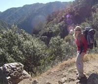
Enjoy them pics yo.
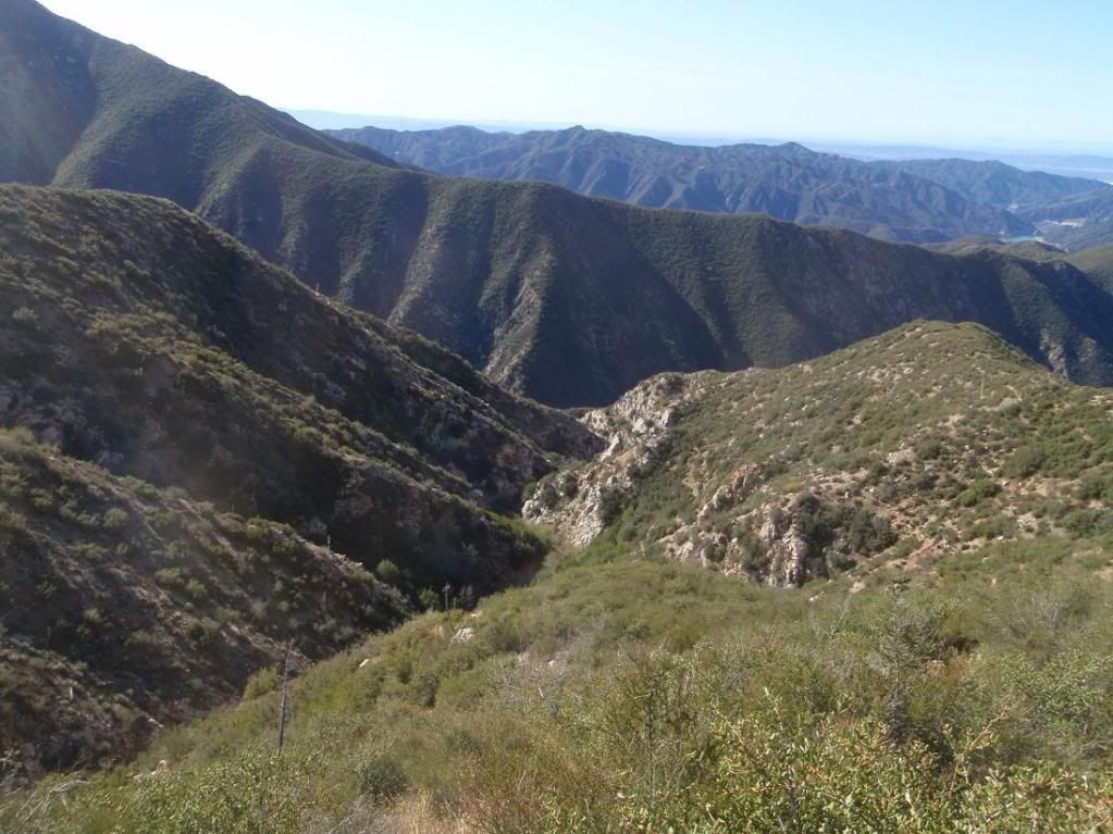
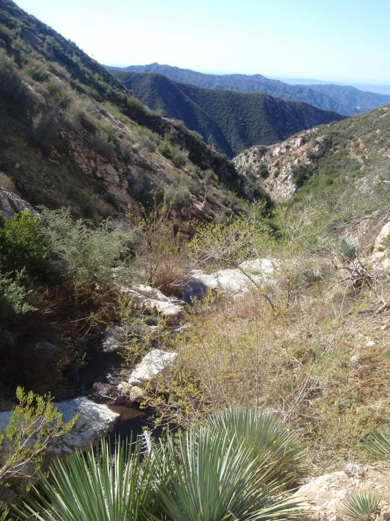
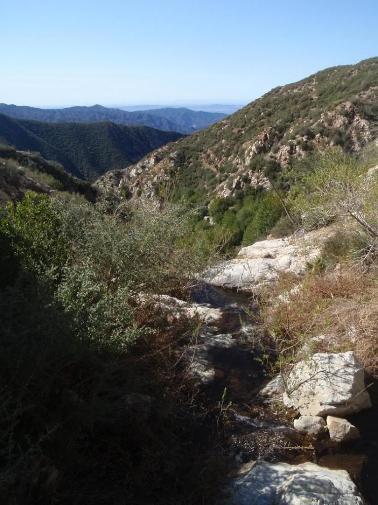
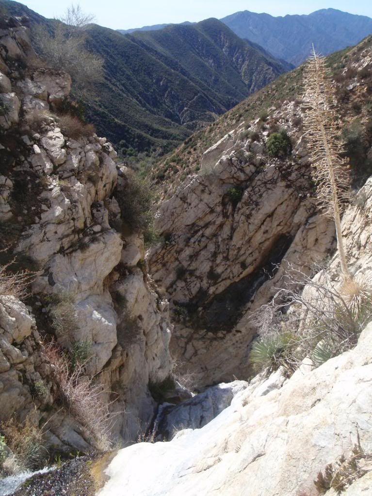
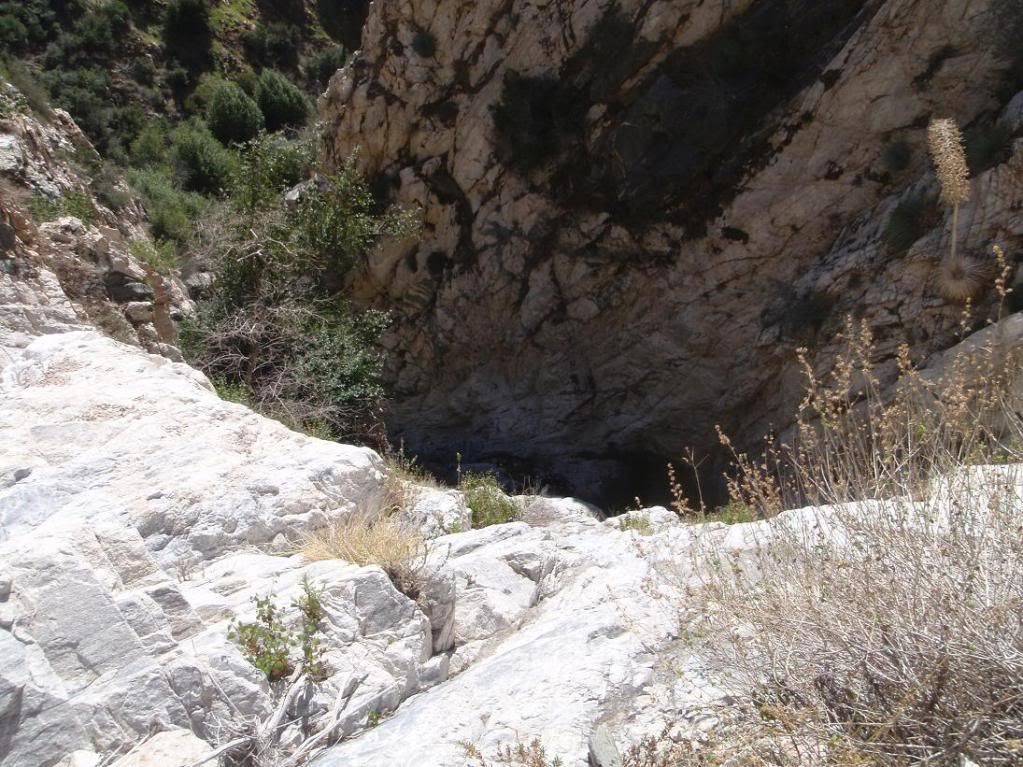
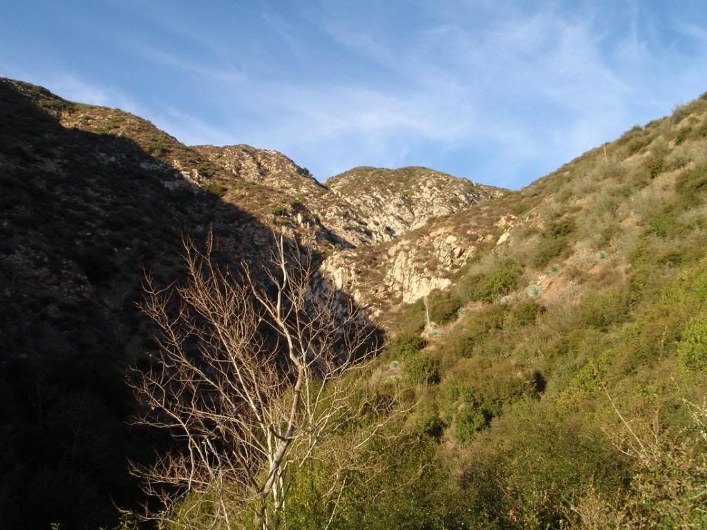
Looking down the canyon from the dropin
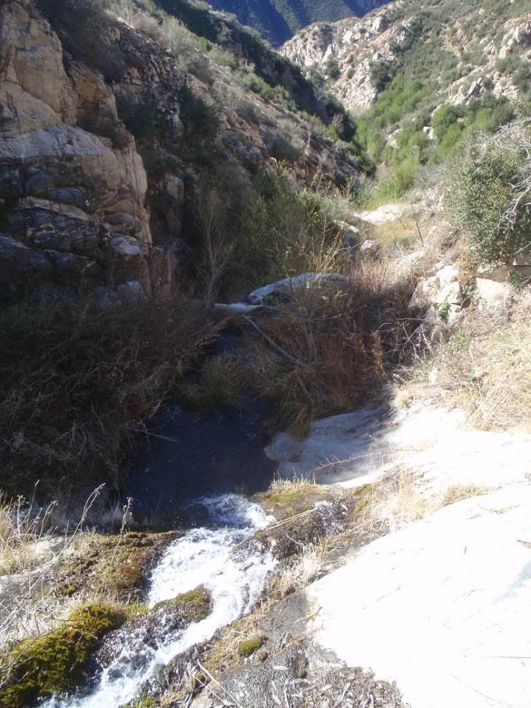
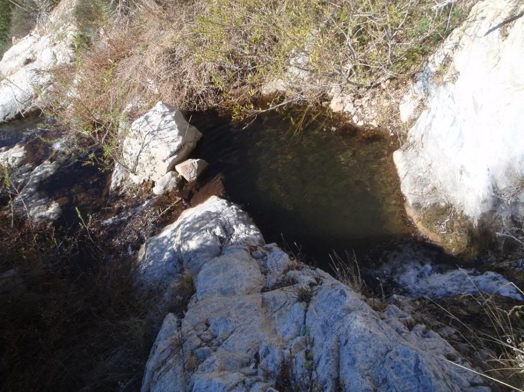
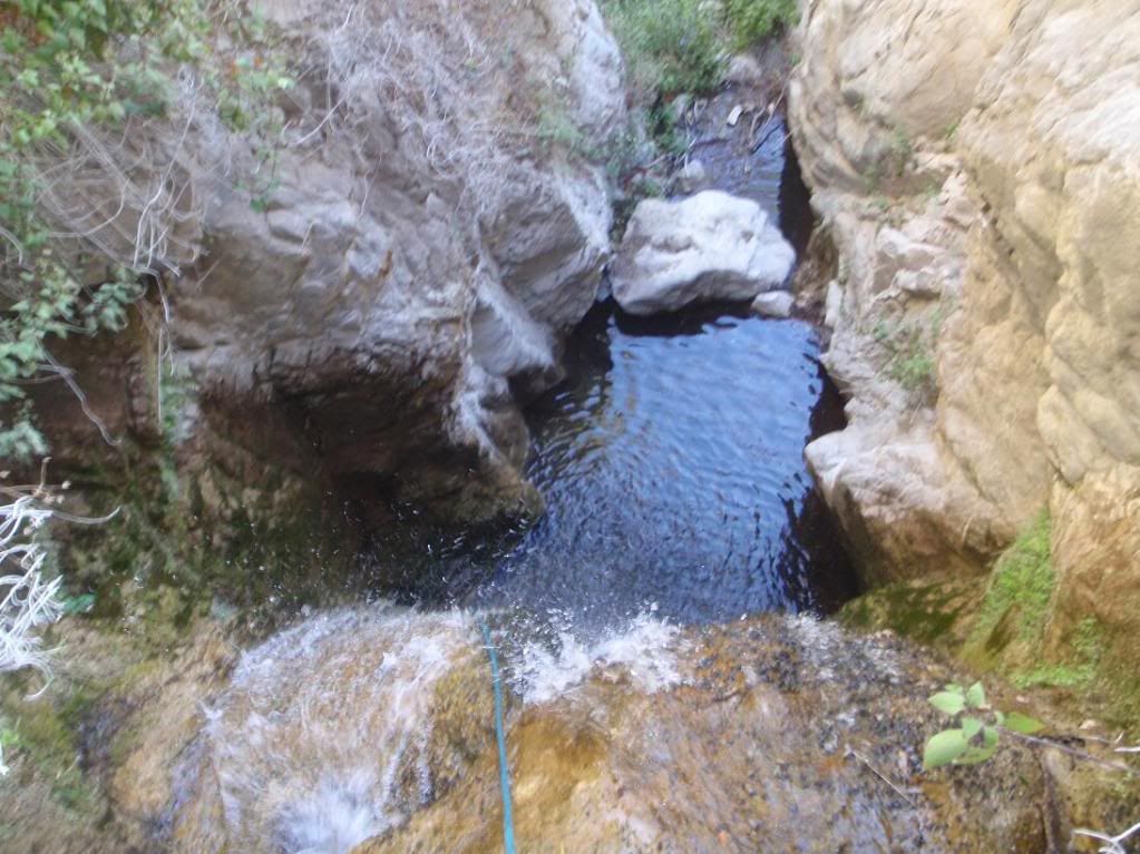
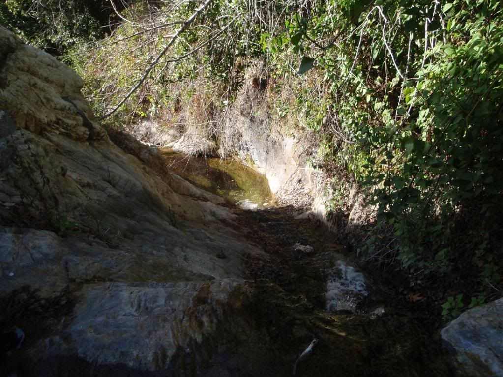
First couple rapps and a pool
Cool rapp
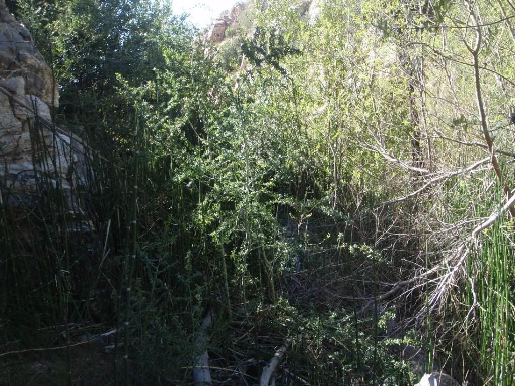
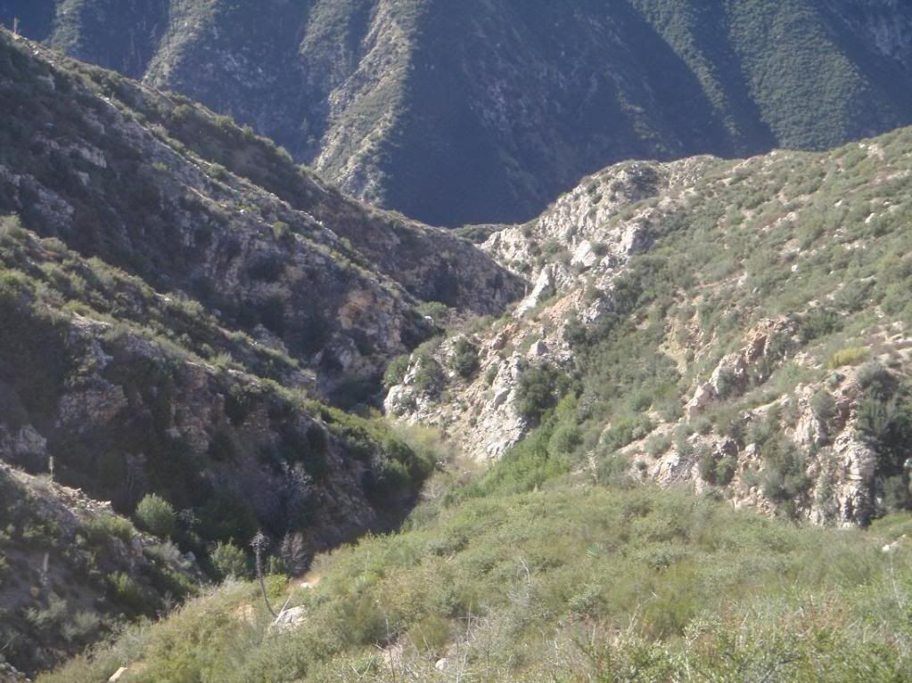
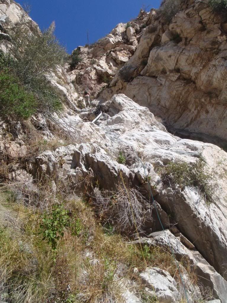
Some of the easier bushwhacking
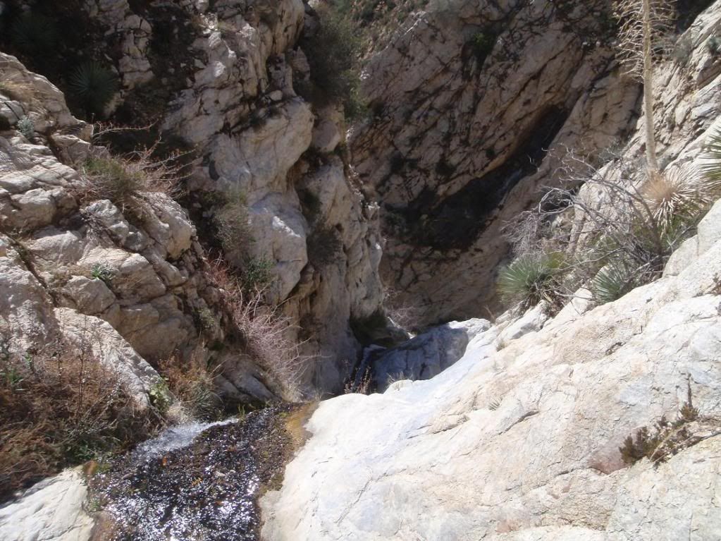
Getting slottier
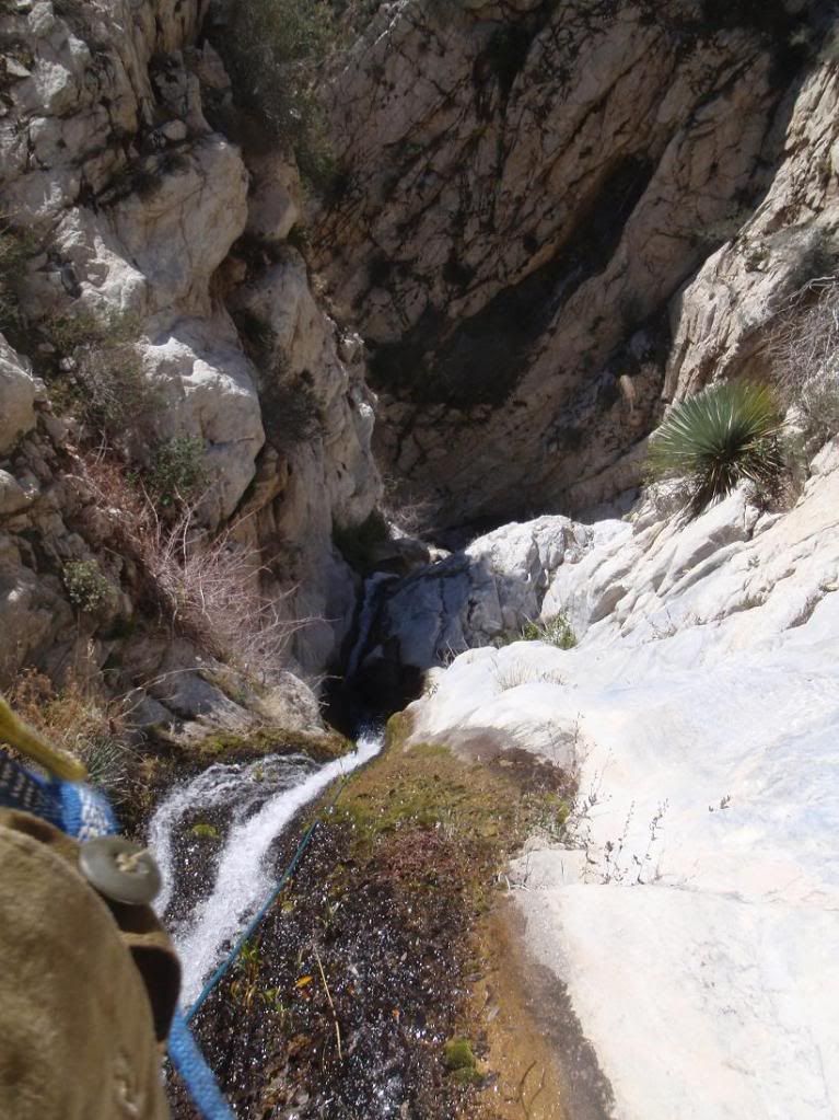
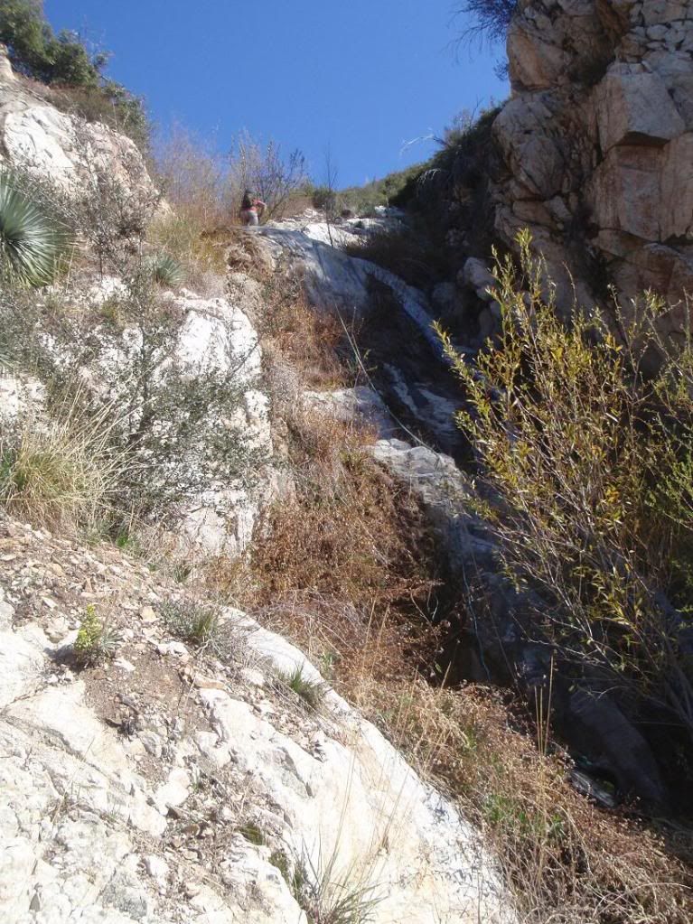
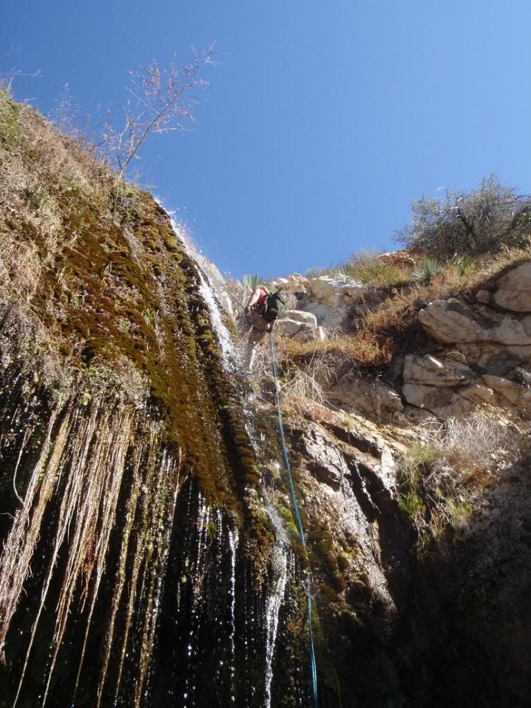
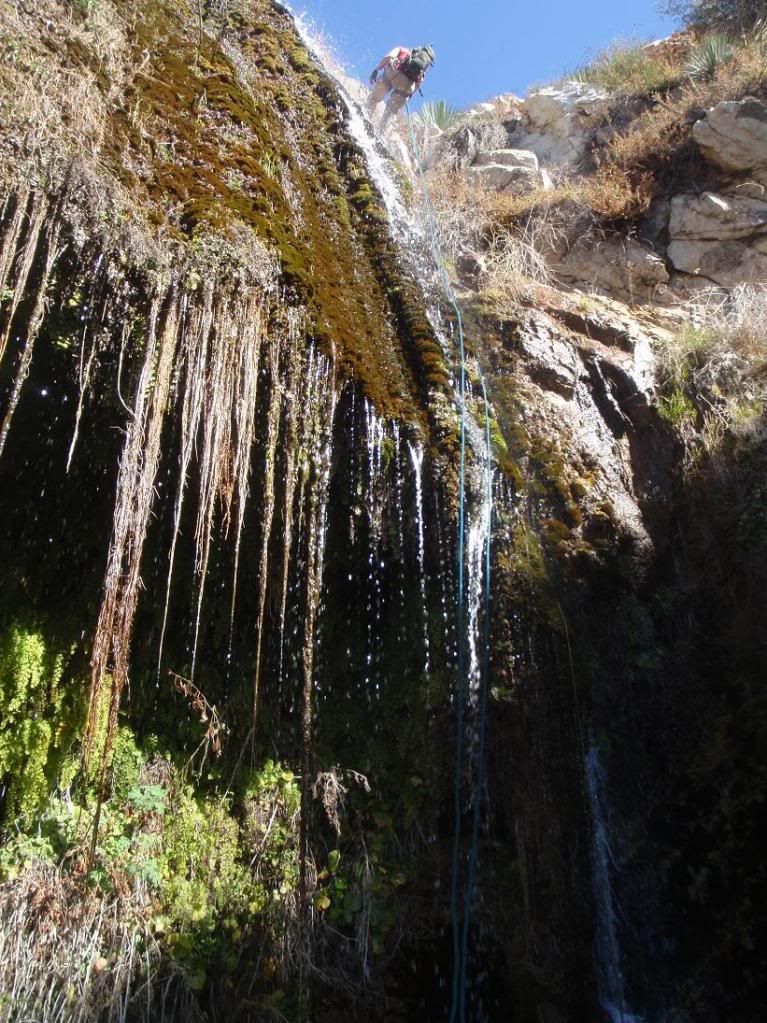
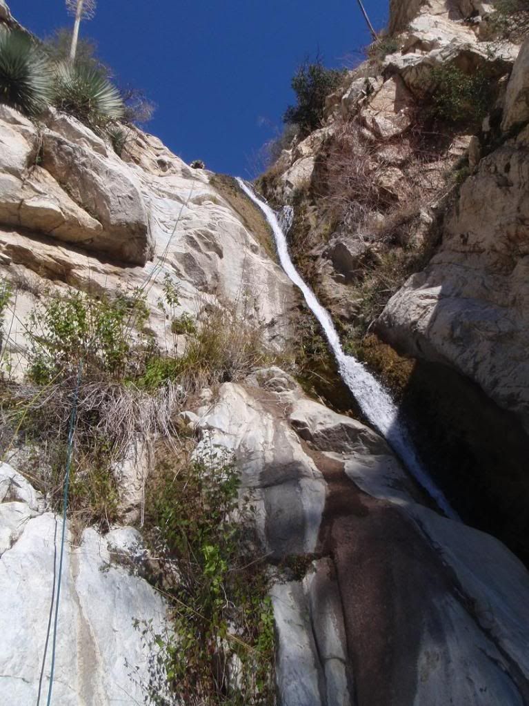
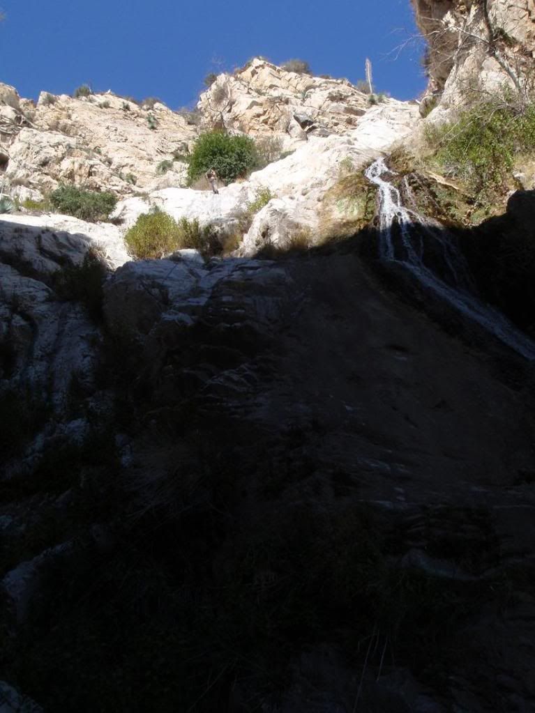
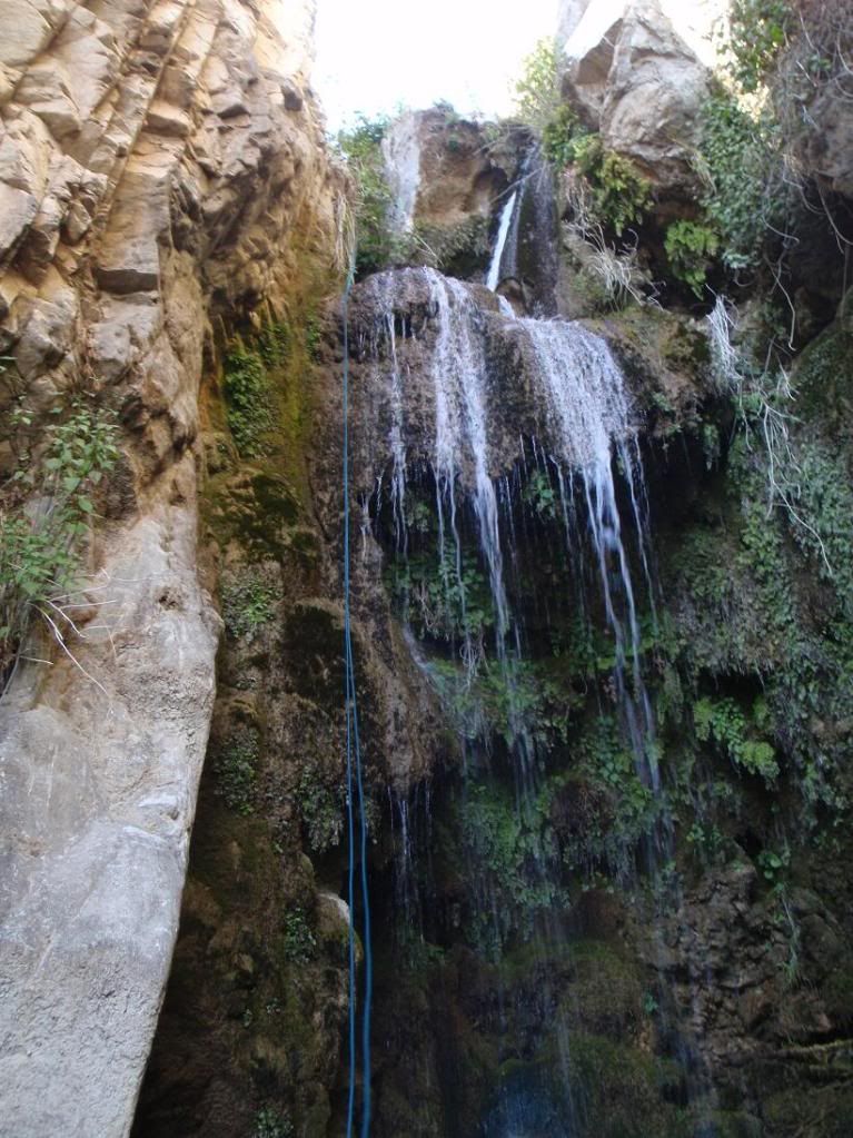
Stage 1 of the 300ft'er
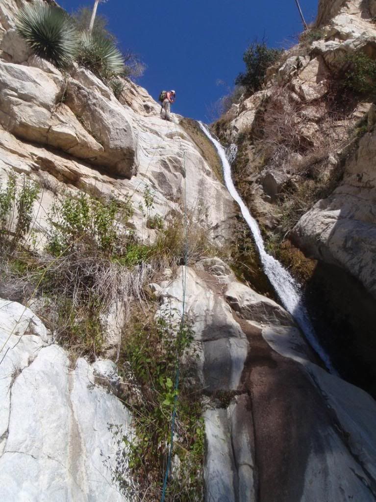
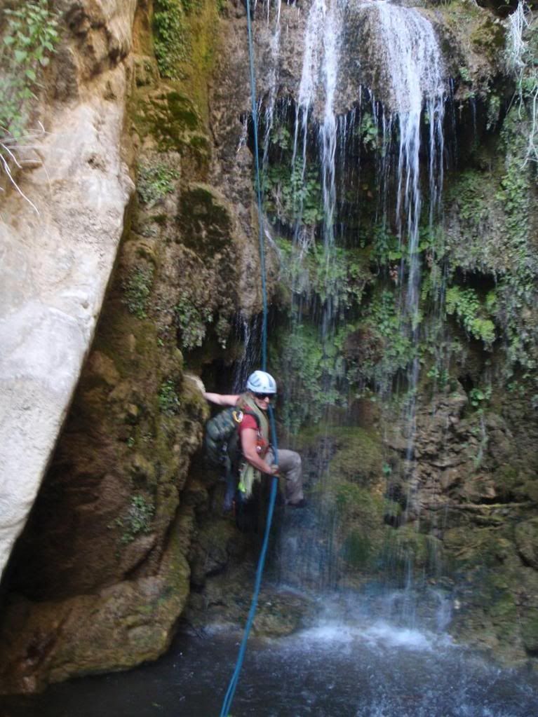
Amanda descending stage 1
MONSTER Poison Oak
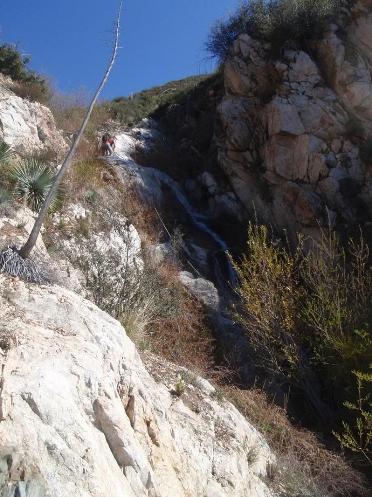
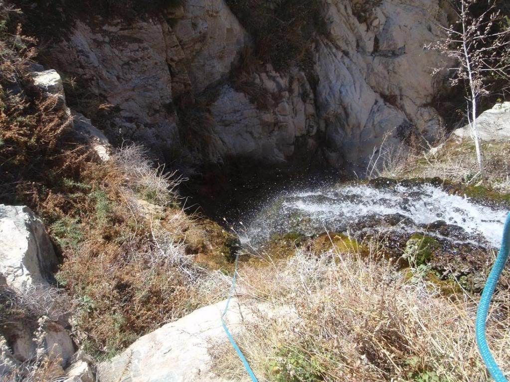
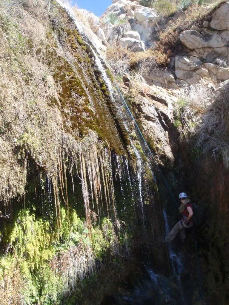
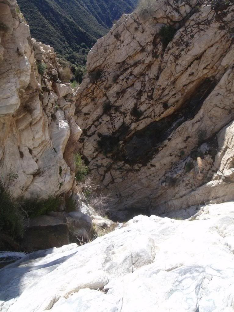
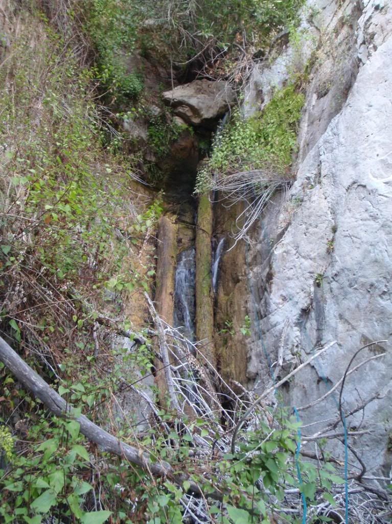
Looking down the 2nd stage
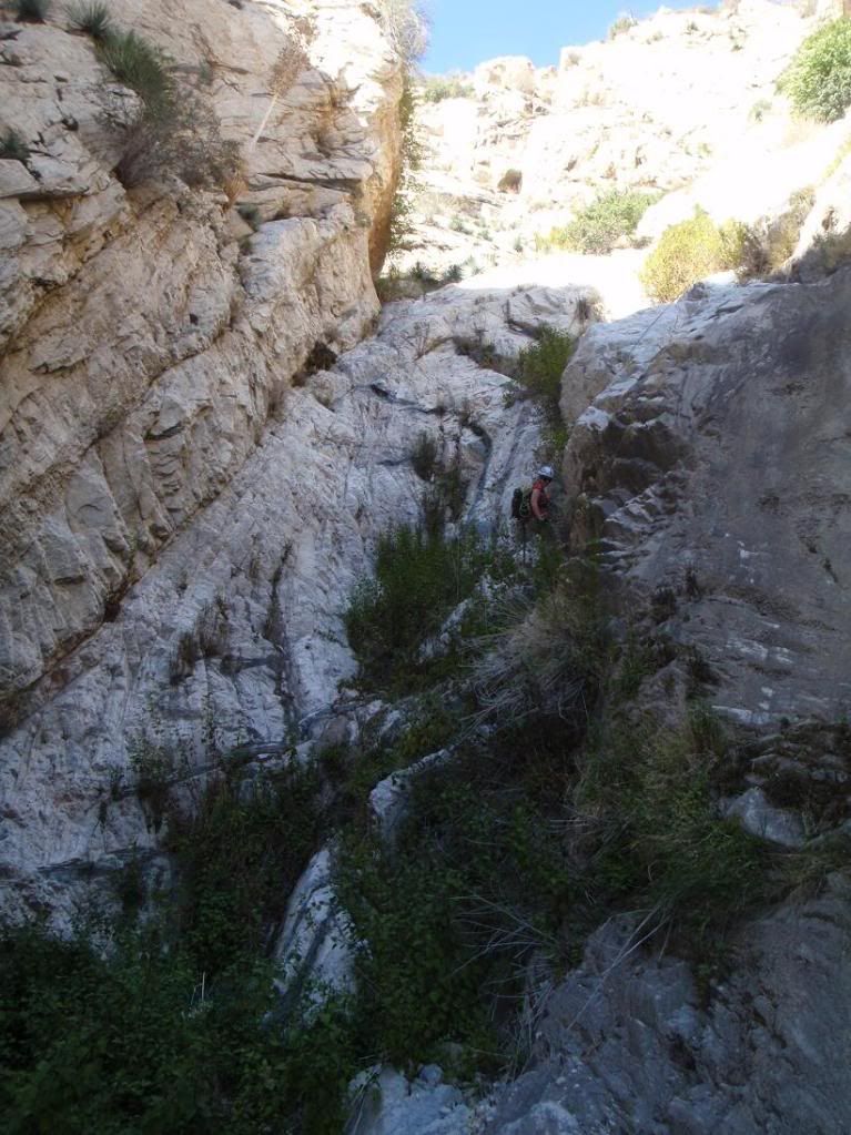
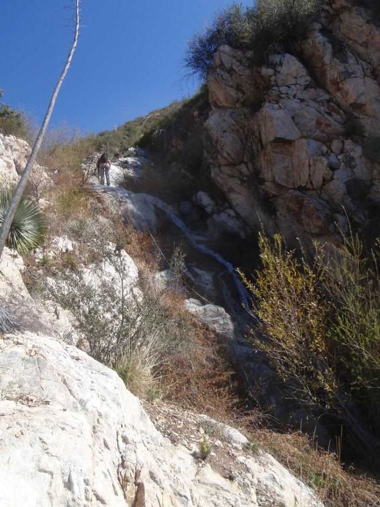
2nd stage
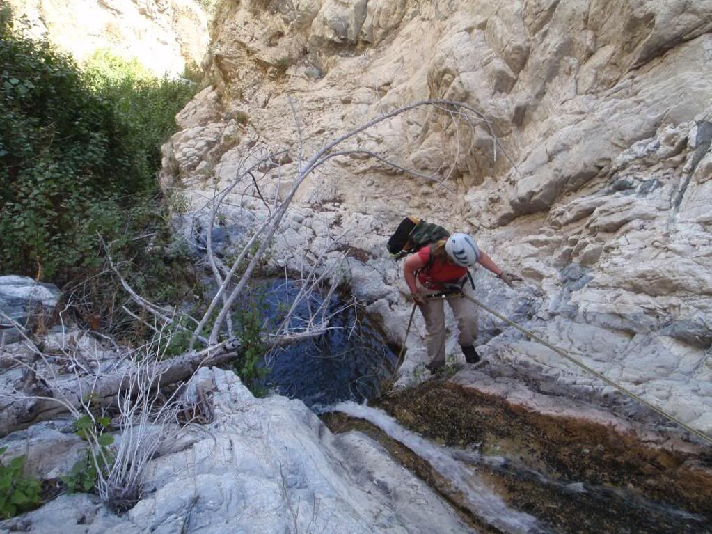
Next rapp into a pool
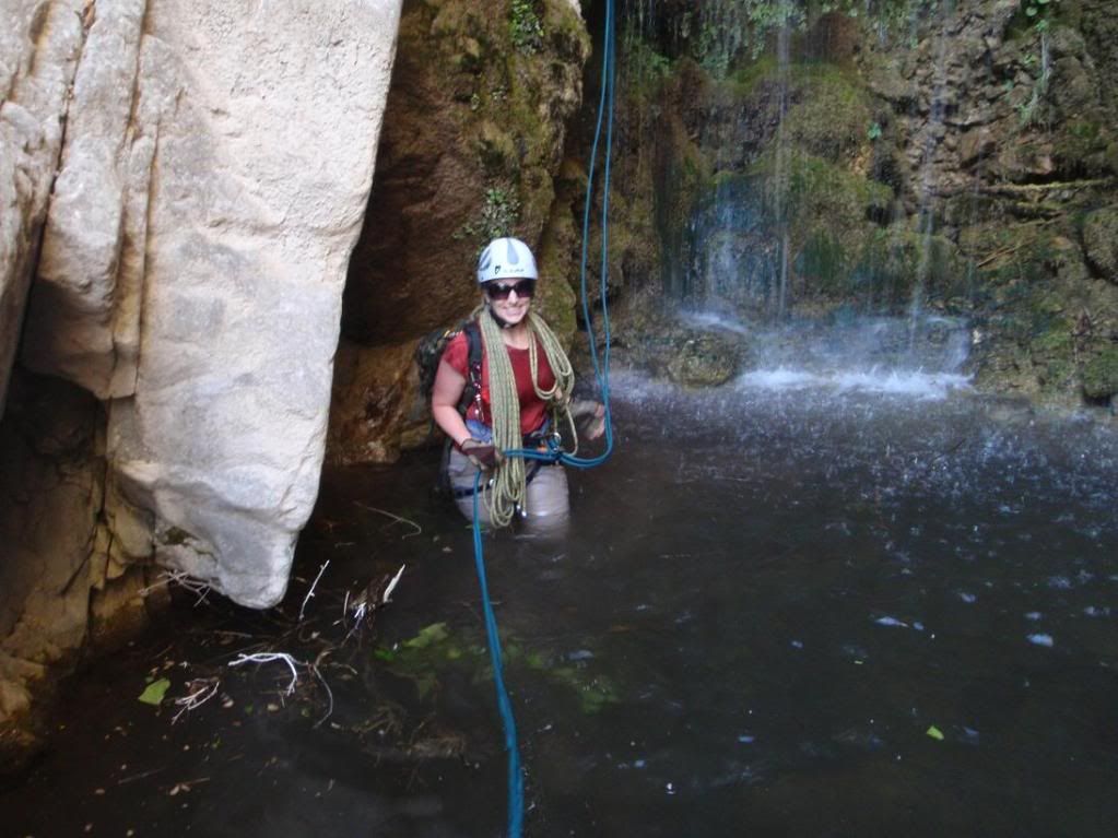
Next rapp into a pool
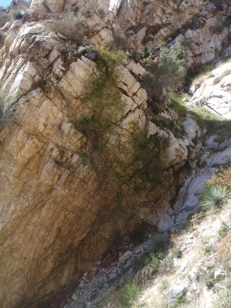
Nice little spot
Terrible rapp that pissed me off. I was literally covered in those stinking biting ants and the rope was threatening to get all caught up in the dead stuff at the bottom. Went better than expected.
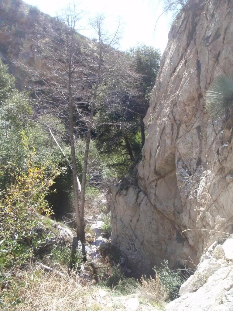
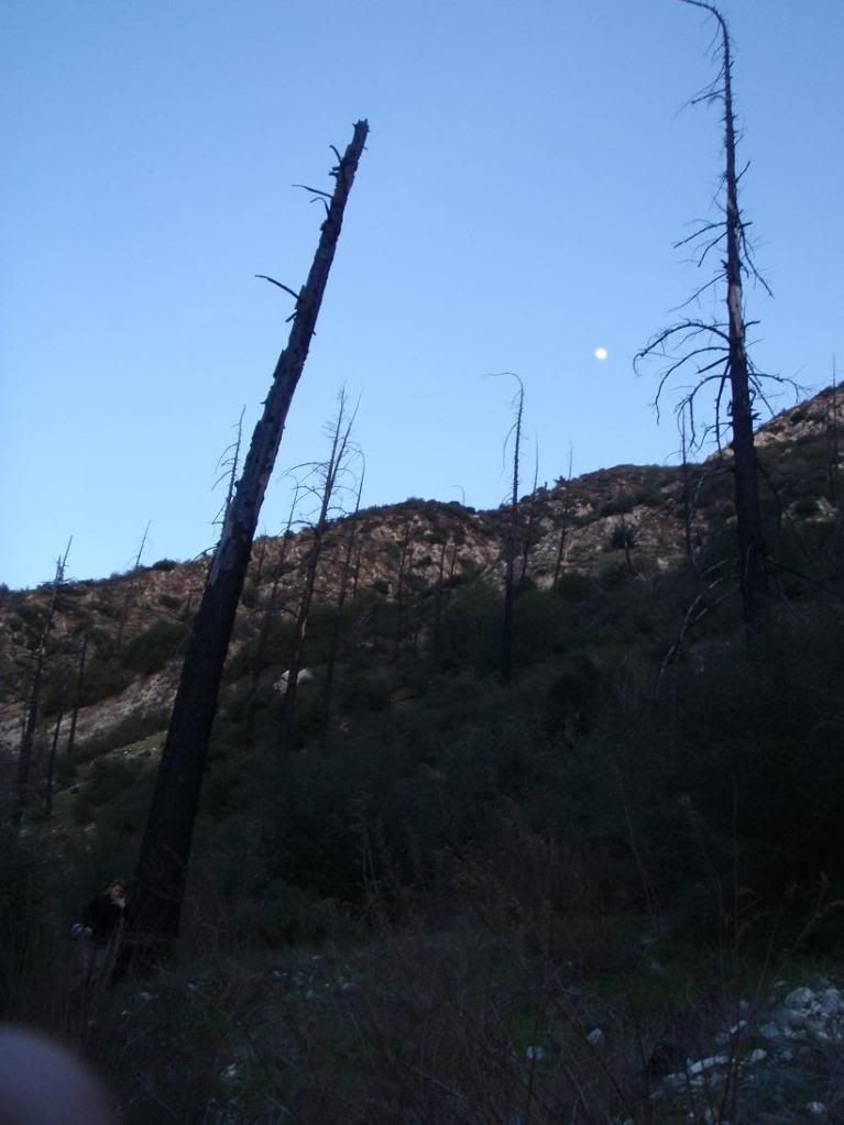
Outta here!
3hr hike out Bichota Canyon
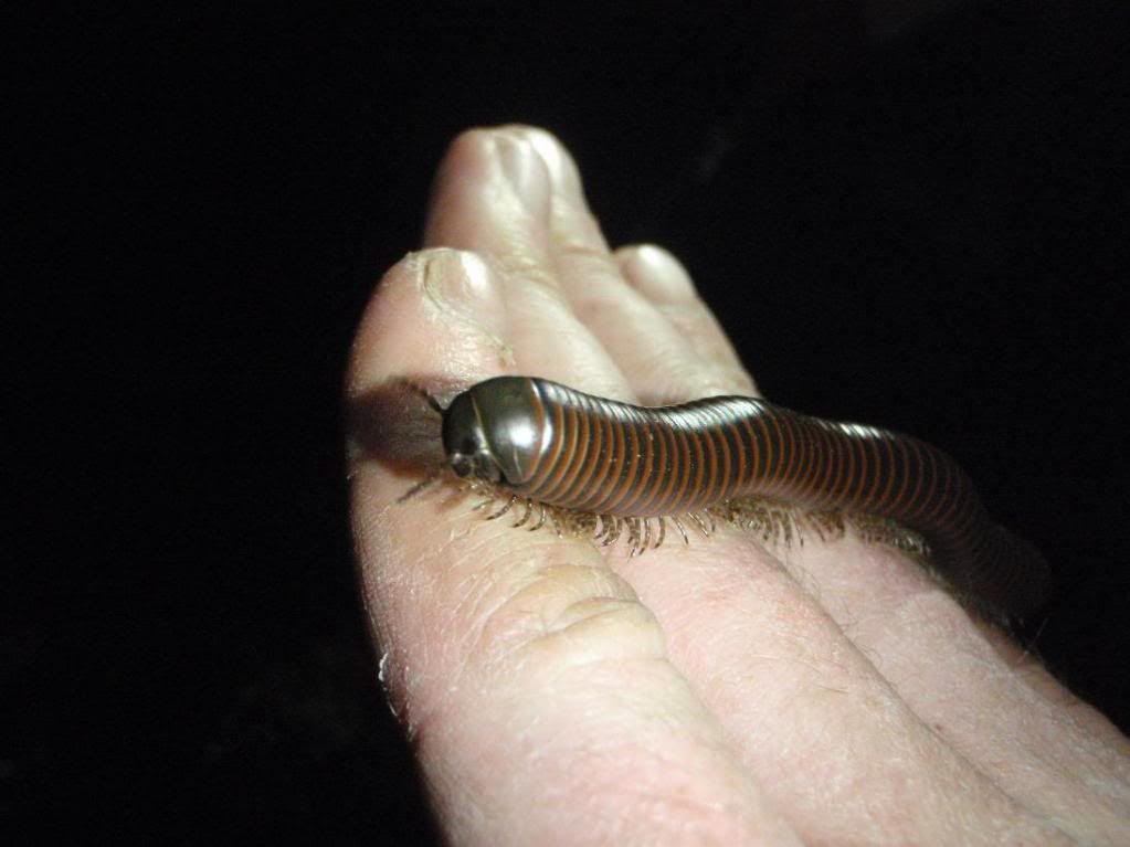
A new friend!
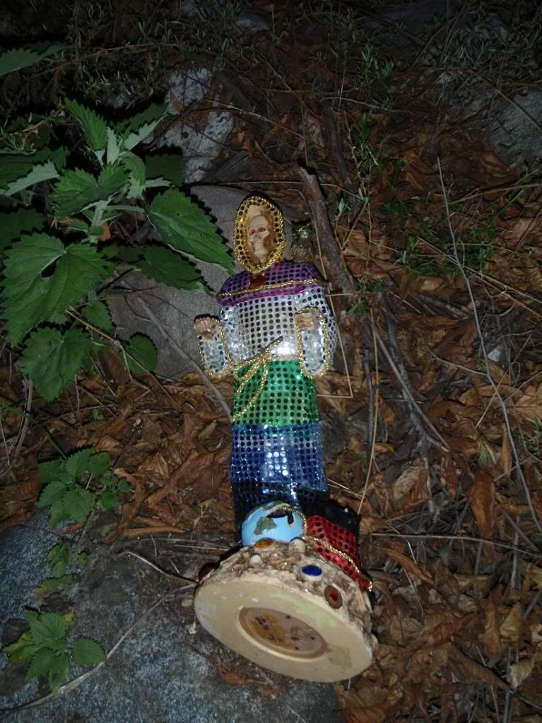
Found this before hiking onto R39.
Here's a massive Acme Mapper link...
http://mapper.acme.com/?ll=34.27243,-11 ... River%20CA
A is the start of 2n15 or whatever that you hike up to reach the drop in (B). C is the end... D is the end of Bichota Cyn, and E is the car!
Seeya