Fish Fork Solo Backpacking (and lots of sheep)

TRs for the San Gabriel Mountains.
Post Reply
User avatar
MtGoatMan
Posts: 25
Joined: Thu May 05, 2022 7:38 pm

Post by MtGoatMan »

Had an awesome 2 night solo backpacking trip to the Fish Fork camp. I was looking for solitude and definitely got it back there.

Lots of water still flowing everywhere even so late in the season. There was definitely more water flowing than last time I was at the East Fork in June 2022.

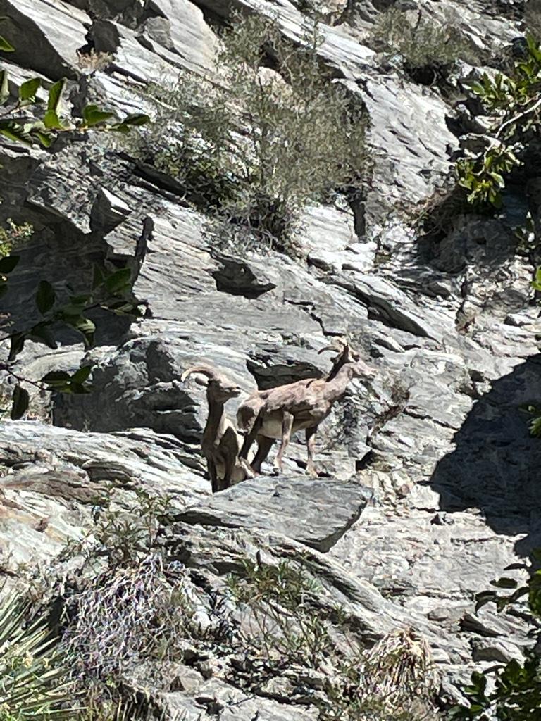
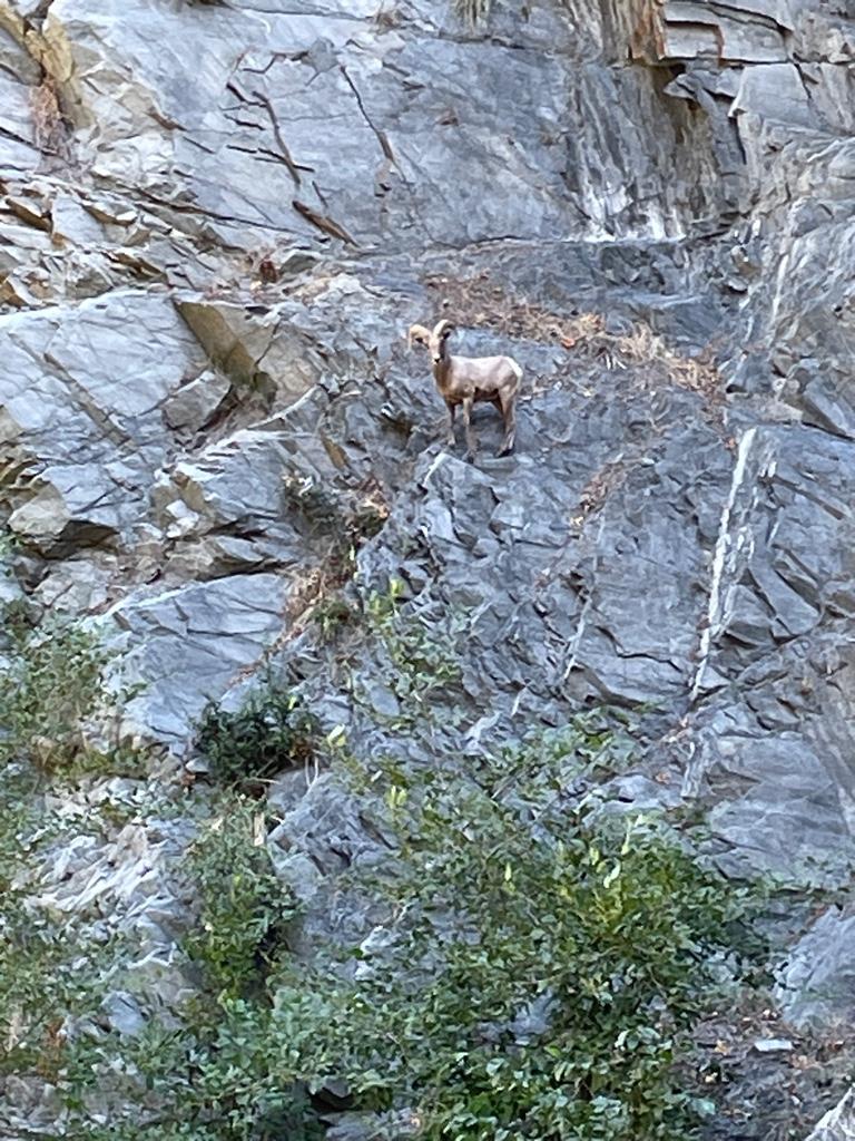
I saw about 10 sheep 2 separate times
on the way up before Iron Fork.

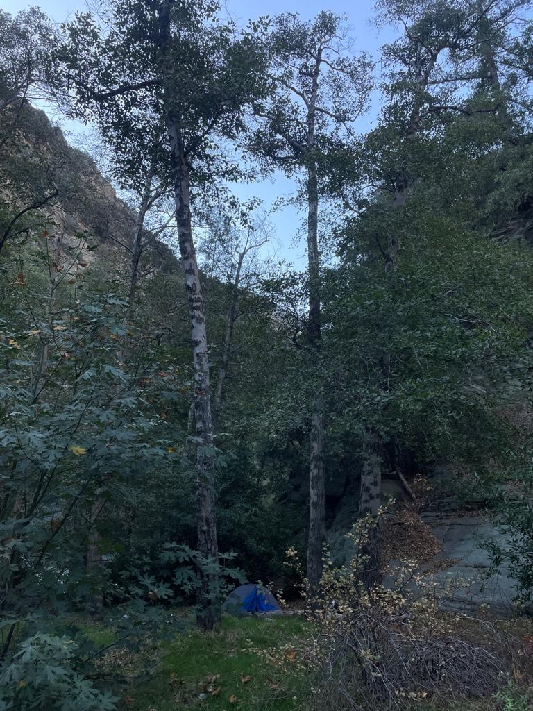
The camp at Fish Fork is quite nice and shady, I found it nicer than the camp at Iron Fork. It’s also easier to find from the river than Iron Fork camp.

I went a bit up Fish Fork, probably not more than a mile. I turned back because it was getting late in the day and I did not want to be out there in the dark.

I’d love to make it further up Fish Fork, does anyone know about how far you can make it up from East Fork without climbing stuff?

Now the only section of East Fork I haven’t seen yet is between Fish Fork and Prairie Fork. I’m sure I will make it there soon enough.

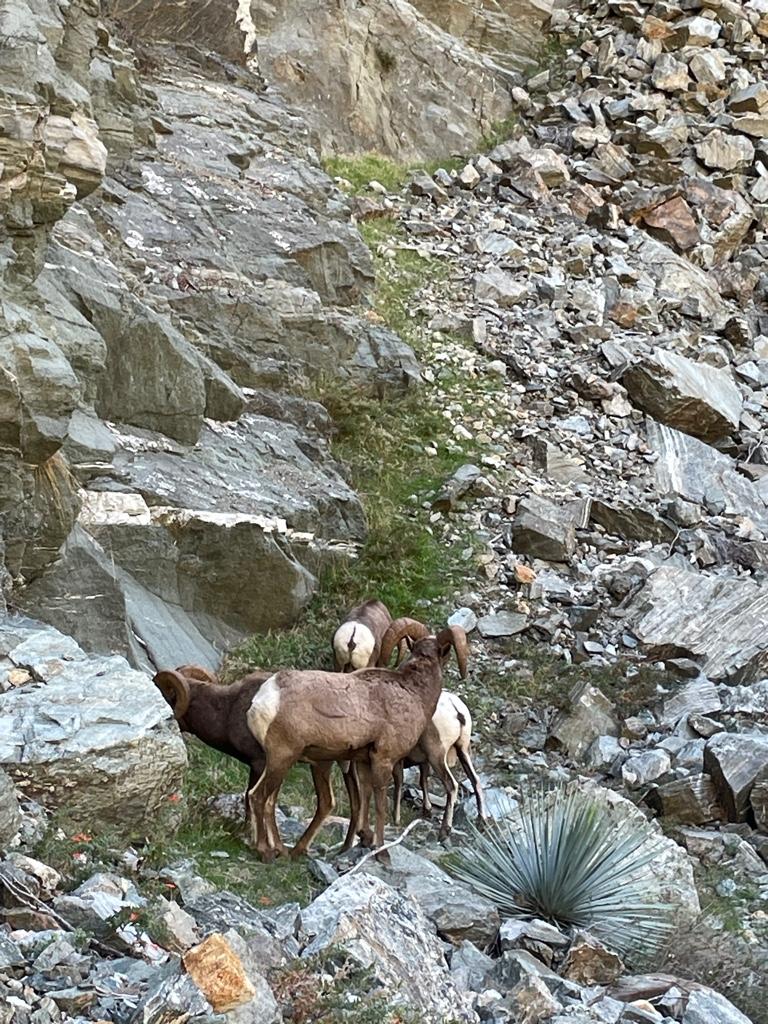
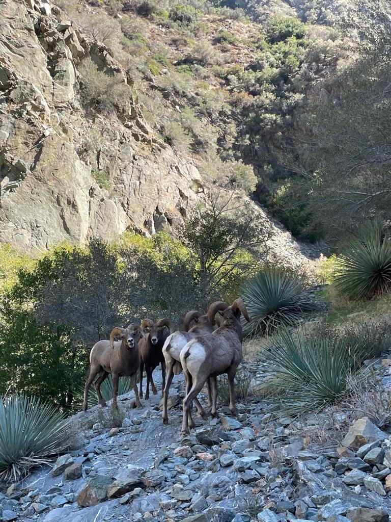
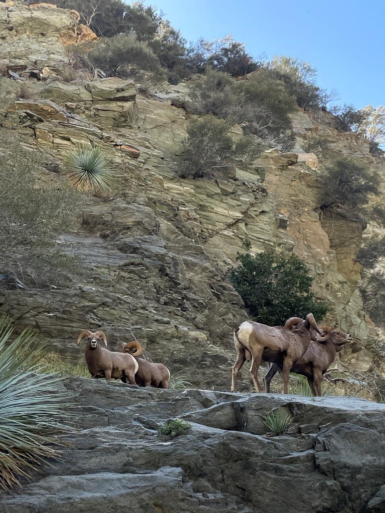
On the way back to Heaton Flat I saw about 10 sheep again, this time on both sides of the river. I heard the sound of the rams butting heads very close to me on my side of the river.
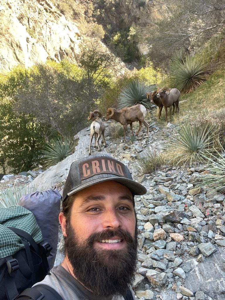
There were 4 males not 15 feet from me just above me on a flat bench. I was so lucky that they let me get so close and hang out with them for 30 minutes. They weren’t interested in me at all or scared or anything, they were more interested in what they were doing. I’ll never forget that experience!

I did about 22 miles over 3 days. I know I’ll be back to the East Fork beyond the bridge soon enough. That area’s got a power over me that I can’t really explain, but I know folks here will understand!

Thanks to everyone for sharing so much awesome and informative trip info on here, I really enjoy checking out everyone’s trips and it’d be cool to join some excursions with somebody some day as well.

Some pics:
Image
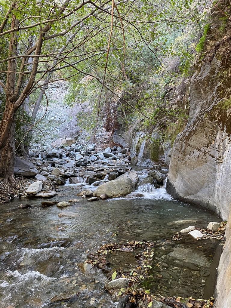
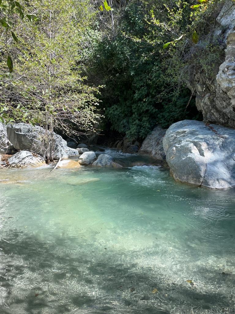
I love the color of the water here.

Image
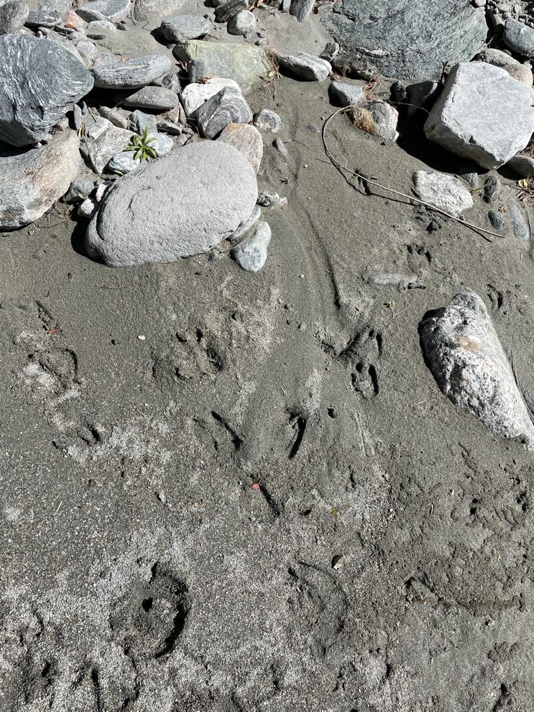
Some of many sheep prints above the bridge.
Image
First group of sheep
Image
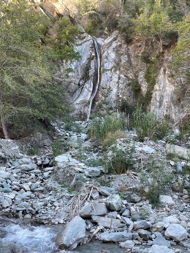
Falls Gulch
Image
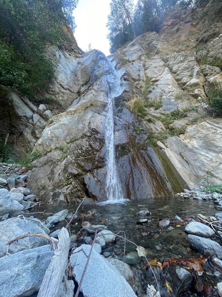
Falls Gulch
Image
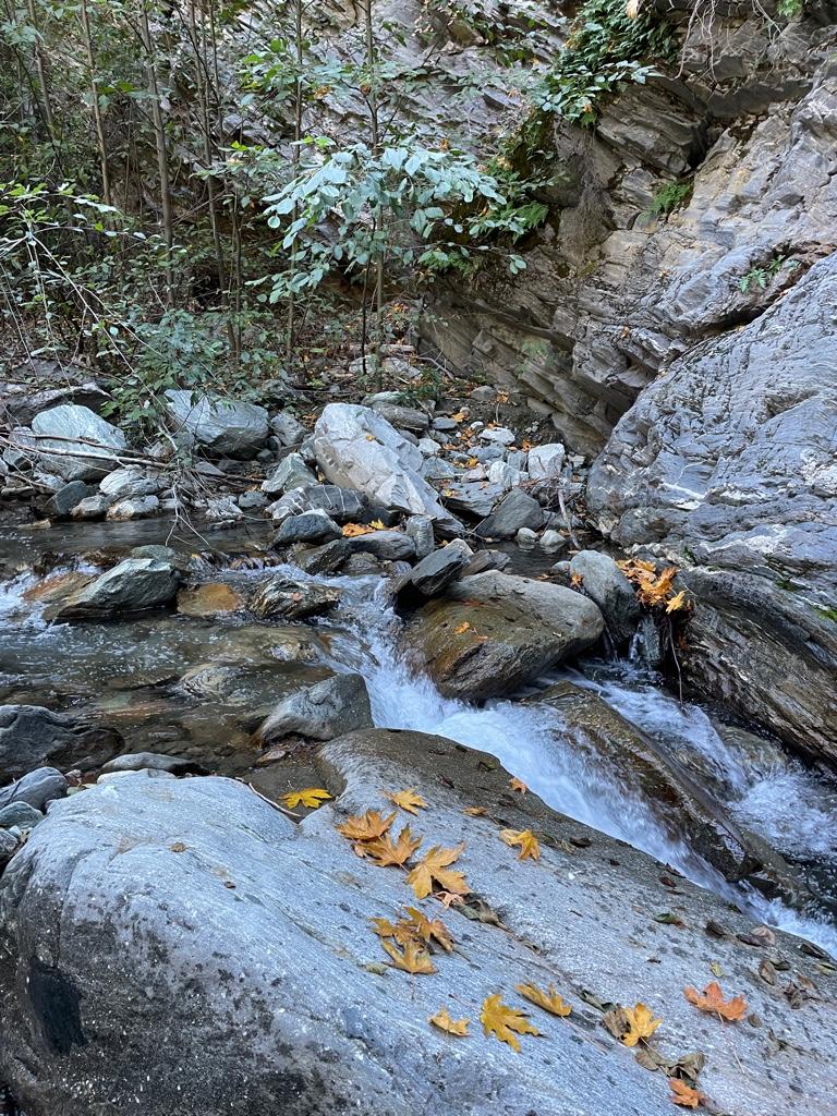
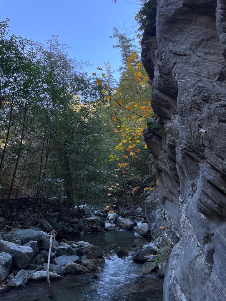
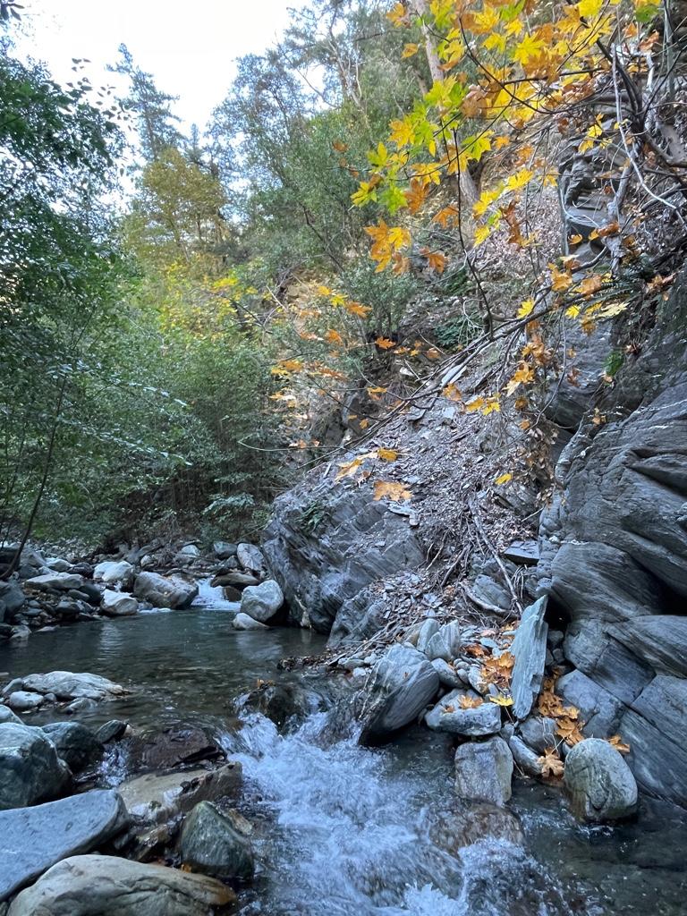
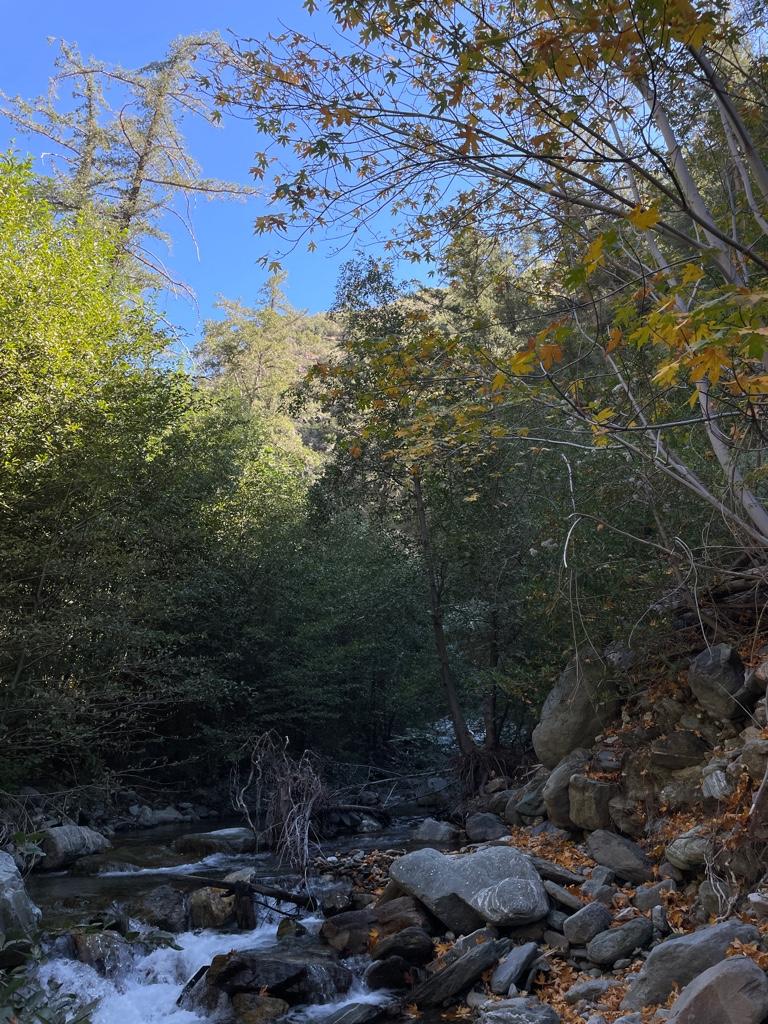
Fish Fork
Image
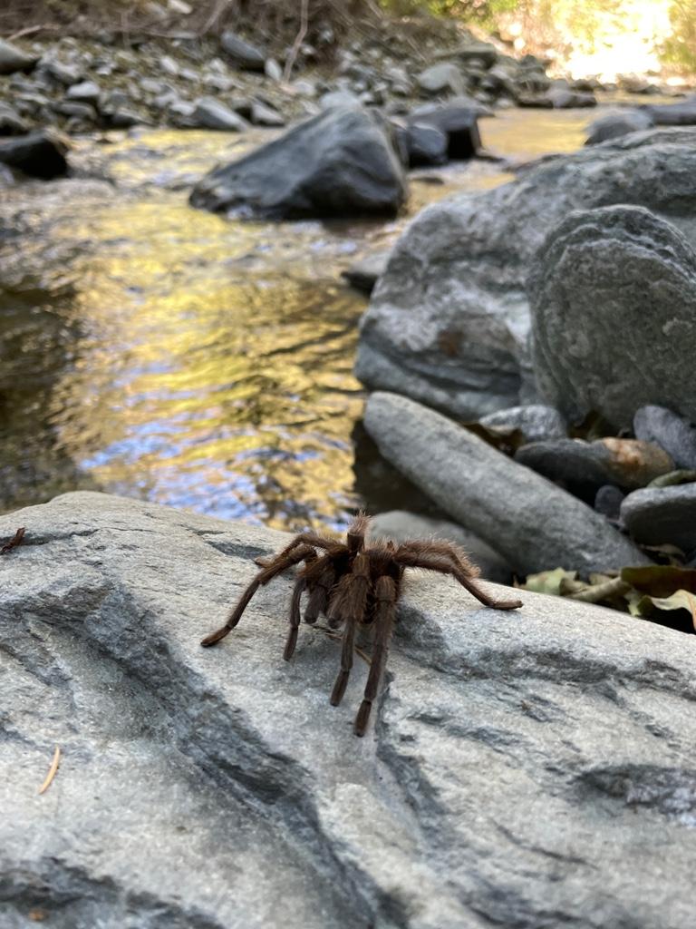
One of 2 tarantulas

Bit of beautiful fall colors up FishImage

Image
Image
Image
Image
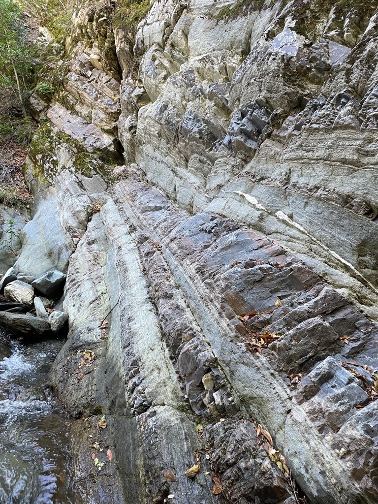
Wall at FishImage
Fish Fork Camp
Image
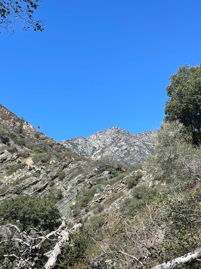
Can anyone ID this peak above Iron Fork? Is it Ross?
Image
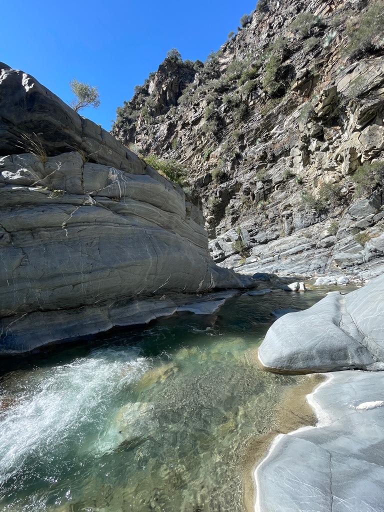
Narrows
Image
Sheep across the river
Image
My friends the rams
Image
Image
Image
So close I could smell them
User avatar
Matthew
Supercaff
Posts: 238
Joined: Mon Nov 30, 2015 8:25 am
Location: Pasadena

Post by Matthew »

Hey! That looks like an awesome trip. It’s so pretty back there and I can’t believe I’ve never been to fish fork yet
User avatar
MtGoatMan
Posts: 25
Joined: Thu May 05, 2022 7:38 pm

Post by MtGoatMan »

jeko1034 wrote:Hey! That looks like an awesome trip. It’s so pretty back there and I can’t believe I’ve never been to fish fork yet

Thanks! Yeah it is so nice back there and worth the effort to get there for sure. So peaceful and WILD
User avatar
Matthew
Supercaff
Posts: 238
Joined: Mon Nov 30, 2015 8:25 am
Location: Pasadena

Post by Matthew »

MtGoatMan wrote:
jeko1034 wrote:Hey! That looks like an awesome trip. It’s so pretty back there and I can’t believe I’ve never been to fish fork yet

Thanks! Yeah it is so nice back there and worth the effort to get there for sure. So peaceful and WILD

Did you see any fish back there?
User avatar
MtGoatMan
Posts: 25
Joined: Thu May 05, 2022 7:38 pm

Post by MtGoatMan »

jeko1034 wrote:
MtGoatMan wrote:
jeko1034 wrote:Hey! That looks like an awesome trip. It’s so pretty back there and I can’t believe I’ve never been to fish fork yet

Thanks! Yeah it is so nice back there and worth the effort to get there for sure. So peaceful and WILD

Did you see any fish back there?

Yes, I saw a few fish in upper East Fork and Fish Fork. They were super fast and probably not more than 5-6”.
User avatar
Sean
Cucamonga
Posts: 4053
Joined: Wed Jul 27, 2011 12:32 pm

Post by Sean »

Wow, that's a great sheep encounter. Thanks for the report! Check your PMs for sticker info.
User avatar
MtGoatMan
Posts: 25
Joined: Thu May 05, 2022 7:38 pm

Post by MtGoatMan »

It definitely was one to remember. Thank you very much!
User avatar
Taco
Snownado survivor
Posts: 6036
Joined: Thu Sep 27, 2007 4:35 pm

Post by Taco »

The lowest falls in FF should be marked on a regular USGS map. That's the furthest you can go without some scrambling up around em and so forth. Not long after passing those you'll encounter more falls.

I miss FF. Beautiful place. Nobody there. Great water. Very special place for me.

Great photos of those sheep. That one dude has huge balls holy shit. My buddy Amanda and I came across a group of about a dozen of em at close range when descending Iron Fork in 2013 or so. Really badass. They quietly climbed up the hillside. I love that whole place, all those pools.
User avatar
Uncle Rico
Posts: 1439
Joined: Thu Mar 20, 2008 7:48 pm

Post by Uncle Rico »

Great pics.

So much water still. Amazing.

You are the sheep whisperer.
User avatar
MtGoatMan
Posts: 25
Joined: Thu May 05, 2022 7:38 pm

Post by MtGoatMan »

Taco wrote:The lowest falls in FF should be marked on a regular USGS map. That's the furthest you can go without some scrambling up around em and so forth. Not long after passing those you'll encounter more falls.

I miss FF. Beautiful place. Nobody there. Great water. Very special place for me.

Great photos of those sheep. That one dude has huge balls holy shit. My buddy Amanda and I came across a group of about a dozen of em at close range when descending Iron Fork in 2013 or so. Really badass. They quietly climbed up the hillside. I love that whole place, all those pools.
Thank you and thanks for the info, my hunch about how far you can go was right then!
Yeah, it’s so special, peaceful, and beautiful back there. The fact that there’s no one there is one of my favorite parts.
Hahaha all of the rams had huge balls. I think they are in the rut which could explain their size. It’s so special to get up close to them. I love Iron Fork too, I think I will go back there next time and get really deep in. I’ve quasi-religiously pored over your TRs and photos of the San Gabriels and really enjoyed the stuff, man.
User avatar
MtGoatMan
Posts: 25
Joined: Thu May 05, 2022 7:38 pm

Post by MtGoatMan »

Uncle Rico wrote:Great pics.

So much water still. Amazing.

You are the sheep whisperer.
Thanks! Yeah, lots more water than when I was back there last in June 2022. I was definitely really lucky to see so many of them this trip.
User avatar
tekewin
Posts: 1259
Joined: Thu Apr 11, 2013 5:07 pm

Post by tekewin »

Wow, beautiful and healthy looking sheep. Great area, thanks for sharing!
User avatar
MtGoatMan
Posts: 25
Joined: Thu May 05, 2022 7:38 pm

Post by MtGoatMan »

tekewin wrote:Wow, beautiful and healthy looking sheep. Great area, thanks for sharing!
Thanks a lot! It is definitely beautiful and a treat to get back there.
User avatar
AW~
Posts: 2064
Joined: Mon Oct 01, 2007 12:00 pm

Post by AW~ »

That peak is 5495 Ross!...nhps approved. I have a lot of pics of that one...east,west,north,south,up,down.and all around.
User avatar
MtGoatMan
Posts: 25
Joined: Thu May 05, 2022 7:38 pm

Post by MtGoatMan »

AW~ wrote:That peak is 5495 Ross!...nhps approved. I have a lot of pics of that one...east,west,north,south,up,down.and all around.
Thanks, I’d like to get to the top of Ross (and maybe peak 5495) some day, as it’s pretty much smack dab in the middle of the upper East Fork canyons.
User avatar
dima
Posts: 1521
Joined: Wed Feb 12, 2014 1:35 am
Location: Los Angeles

Post by dima »

Where's 5495? Did you mean 5995? I've been to that one.
User avatar
AW~
Posts: 2064
Joined: Mon Oct 01, 2007 12:00 pm

Post by AW~ »

dima wrote: Where's 5495? Did you mean 5995? I've been to that one.
Yes...5995! Thanks.
User avatar
dima
Posts: 1521
Joined: Wed Feb 12, 2014 1:35 am
Location: Los Angeles

Post by dima »

Oof. You've been there? How did you approach?
User avatar
AW~
Posts: 2064
Joined: Mon Oct 01, 2007 12:00 pm

Post by AW~ »

dima wrote: Oof. You've been there? How did you approach?
From the top. I was going to go to IF on a 2 day hike, but bailed there...kinda of sadly, considering I brought my canyoneering and bivy gear.
The point of the hike was to recon the other side of IF, which I did...but it was so picky route wise that I would have to do that one a third time alone.
Post Reply