
Rules:
1. Post a photo of a trail in SoCal or the Sierras. Name the range it's in. If it's not in the San Gabriels, you might want to give a small hint.
2. Pick a stretch of the trail with a recognizable feature or two, such as distinctive terrain, a sign, a cabin, historic ruins, a waterfall, a peak, etc.
3. Whoever correctly guesses the trail name gets to post the next photo--or say "pass," in which case anyone else can post the next picture.
I'll start with one from the San Gabriel high country in 2015. Guess the trail name!
Guess the trail name!
-
Sean

- Cucamonga
- Posts: 4412
- Joined: Wed Jul 27, 2011 12:32 pm
You do not have the required permissions to view the files attached to this post.
-
dima

- Posts: 1929
- Joined: Wed Feb 12, 2014 1:35 am
- Location: Los Angeles
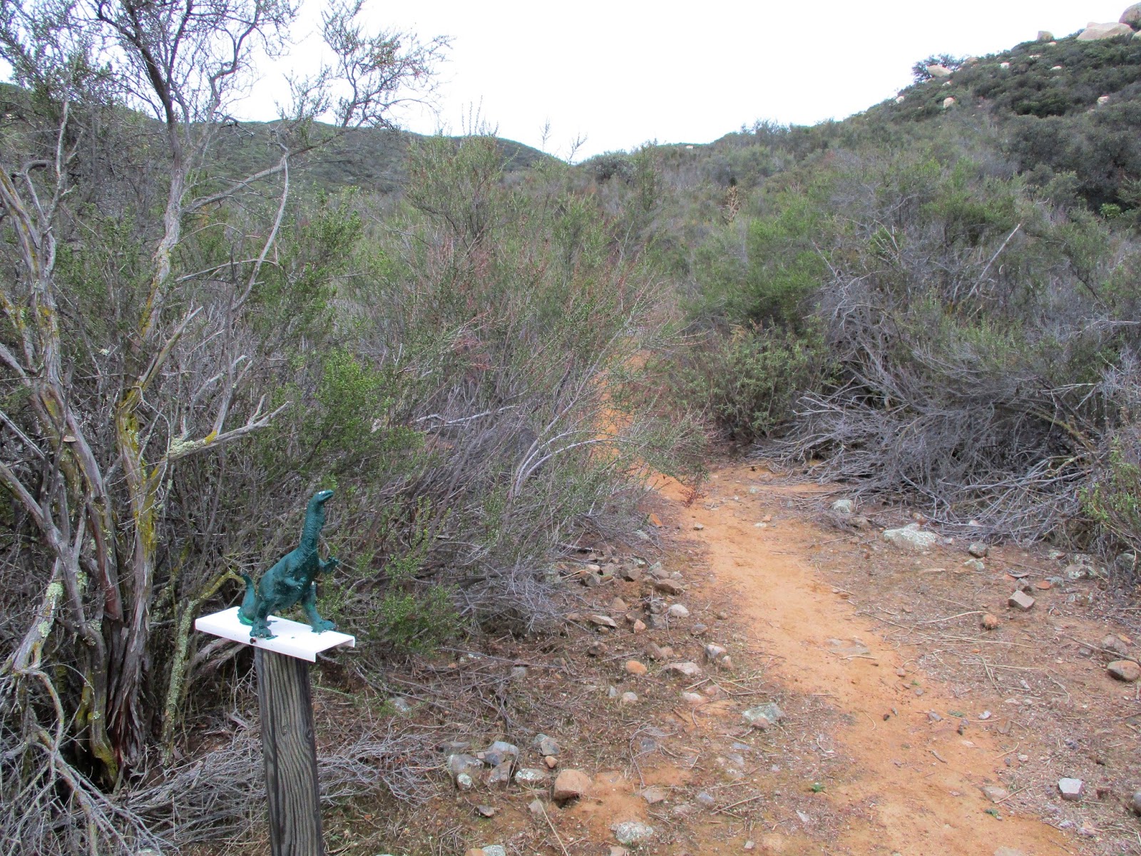
Is this sign up on the Pine-Dawson saddle?
-
Elwood

- Posts: 627
- Joined: Fri Aug 15, 2008 5:23 pm
7W05.2 affectionately know as the north devil's backbone trail.
-
Elwood
- Posts: 627
- Joined: Fri Aug 15, 2008 5:23 pm
Sticking with Sean’s rules, I’ll “pass” ‘til I can get at my trove of trail pictures.
-
HikeUp

- Posts: 4098
- Joined: Thu Sep 27, 2007 9:21 pm
2010...
You do not have the required permissions to view the files attached to this post.
-
Elwood
- Posts: 627
- Joined: Fri Aug 15, 2008 5:23 pm
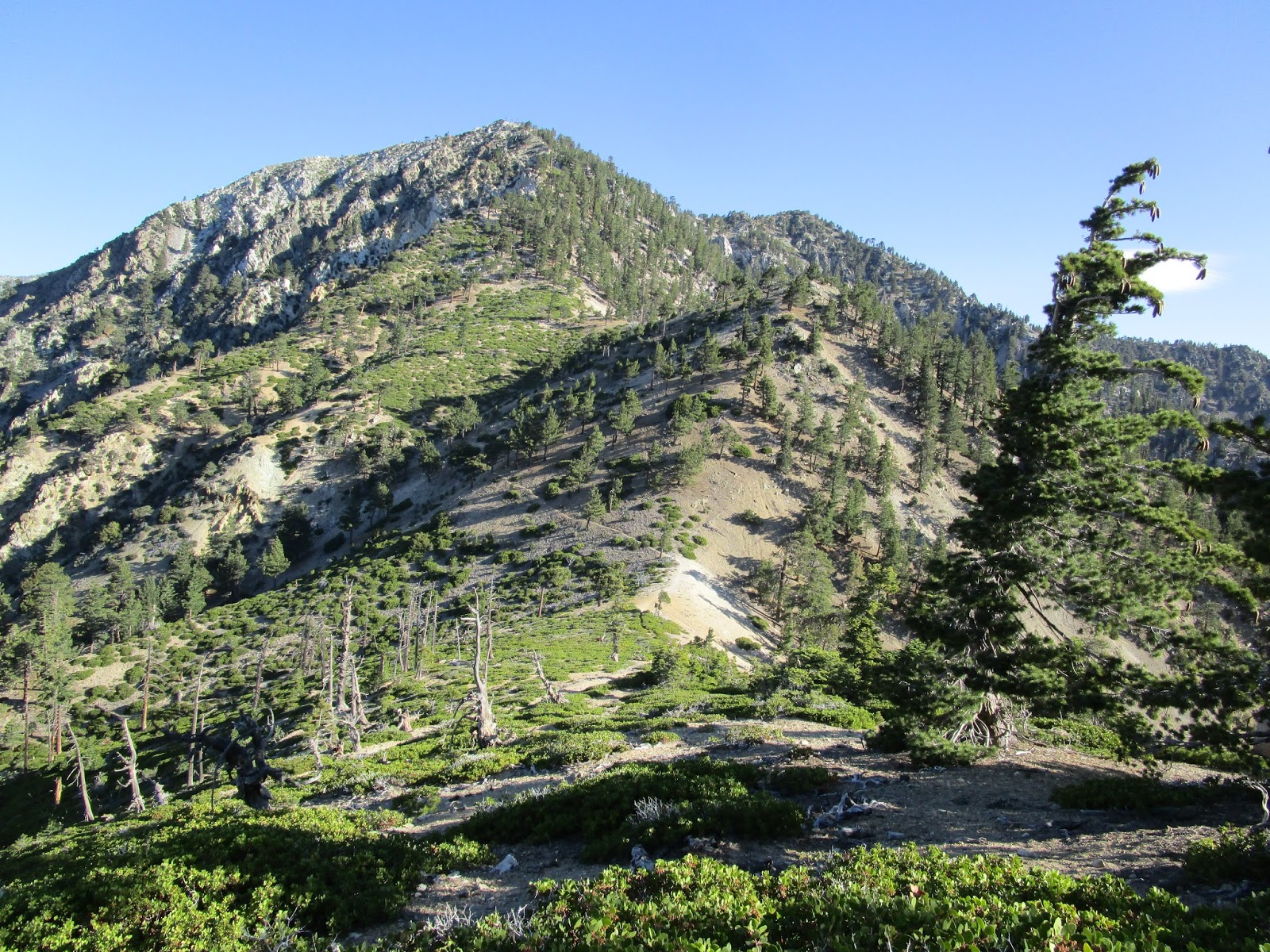
This trail is in the San Gabriel Mountains. What's the trail and where is the picture taken from?
You do not have the required permissions to view the files attached to this post.
-
tekewin

- Posts: 1413
- Joined: Thu Apr 11, 2013 5:07 pm
Cucamonga Peak Trail from Joe Elliot Campground.
-
Elwood
- Posts: 627
- Joined: Fri Aug 15, 2008 5:23 pm
Well done tekewin, 7W04.5 indeed. Your turn sir.
-
tekewin
- Posts: 1413
- Joined: Thu Apr 11, 2013 5:07 pm
We'll stay in the San Gabriels... what trail and location?
-
Elwood
- Posts: 627
- Joined: Fri Aug 15, 2008 5:23 pm
Three 'T's towards Telegraph 7W04.4 FYI I compared this picture to some of mine BEFORE noting the filename of your linked picture.
-
tekewin
- Posts: 1413
- Joined: Thu Apr 11, 2013 5:07 pm
Correct! An easy one, and I'll be careful with the file name next time (doh!). Back to you.
-
Elwood
- Posts: 627
- Joined: Fri Aug 15, 2008 5:23 pm
Here's one, definitely in the San Gabriel's:
You do not have the required permissions to view the files attached to this post.
-
tekewin
- Posts: 1413
- Joined: Thu Apr 11, 2013 5:07 pm
This is just a guess. Is it 10W04 south of Three Points?
-
HikeUp
- Posts: 4098
- Joined: Thu Sep 27, 2007 9:21 pm
I'm gonna say 10W05 on the way up to Waterman from Hwy 2/Buckhorn, with a view of East Twin.
-
Elwood
- Posts: 627
- Joined: Fri Aug 15, 2008 5:23 pm
This was from a Twin Peaks / Waterman hike, so the view is looking back towards East Twin on 10W04. Well done tekewin. I guess you're it again. Hike Up, I hadn't quite turned onto the peak trail yet no boots on 10W05 when this picture was taken.
-
tekewin
- Posts: 1413
- Joined: Thu Apr 11, 2013 5:07 pm
This one is harder, in the Santa Ana Mountains. What trail?
Here is a hint. It starts at the Morgan trailhead on South Main Divide Road.
Here is a hint. It starts at the Morgan trailhead on South Main Divide Road.
-
Uncle Rico

- Posts: 1484
- Joined: Thu Mar 20, 2008 7:48 pm
Random guess based upon clue: San Mateo Peak Trail.
Never been there.
Never been there.
-
tekewin
- Posts: 1413
- Joined: Thu Apr 11, 2013 5:07 pm
Right on! It's a short and easy 4 miler, but nice views and varied terrain.
Your turn, Rico.
-
Uncle Rico
- Posts: 1484
- Joined: Thu Mar 20, 2008 7:48 pm
Ok, this is back in the San Gabes. No distinctive features per se, but I'm pretty confident y'all can get it.
You do not have the required permissions to view the files attached to this post.
-
Sean
- Cucamonga
- Posts: 4412
- Joined: Wed Jul 27, 2011 12:32 pm
Is it in the Mt. Wilson area? Maybe the Gabrieleno on the north side?
-
Uncle Rico
- Posts: 1484
- Joined: Thu Mar 20, 2008 7:48 pm
Further north.
My "bits' are bigger than yours. ?
My "bits' are bigger than yours. ?
-
Sean
- Cucamonga
- Posts: 4412
- Joined: Wed Jul 27, 2011 12:32 pm
-
Sean
- Cucamonga
- Posts: 4412
- Joined: Wed Jul 27, 2011 12:32 pm
This is in the San Gabriel foothills from 2012.
You do not have the required permissions to view the files attached to this post.