SITTON PEAK
-
Girl Hiker

- Posts: 1454
- Joined: Fri Apr 04, 2014 7:46 am
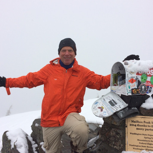
I conquered Sitton Peak today another one that has been on my list. I thought it would be much harder from what I read. But, to my surprise it was just a longer hike. However that last push to the summit is kind of a butt-kicker. This trail was really beautiful. Once I approached the 4 corners, I was inspired to come back. I noticed the sign for Tenaya canyon trail. Tenaya peak is next on my list but I will have to research that one because I don't know if it's the same trail. Anyways, lots of Mariposa Lillies and rock formations were present. I was really surprised when I approached the summit to find two summit signs, a register and three benchmarks. Stats: 10 miles ~2000'gain
You do not have the required permissions to view the files attached to this post.
-
JeffH

- Posts: 1378
- Joined: Sun Nov 28, 2010 7:09 am
Lots of signs and other debris because it's part of the six-pack of peaks. (?) Isn't it pretty warm and exposed?
"Argue for your limitations and sure enough they're yours".
Donald Shimoda
Donald Shimoda
-
JerryN

- Posts: 200
- Joined: Sun Nov 11, 2012 4:01 pm
Wrong Tenaya, Tenaya Peak is in the Sierra. I used to do this hike a lot when I lived down there. It is a good fast hike to a relatively remote peak. Some nice views from the summit.
-
Girl Hiker

- Posts: 1454
- Joined: Fri Apr 04, 2014 7:46 am
Jeff-its not part of the six pack of peaks. The trail is both shaded and exposed. when you get to the first junction, there are two signs and both go to the 4 corners. We picked the one on the left. That trail was beautiful but mostly exposed up to the 4 corners. We decided to take the other trail on the return that said "to the candy store" from the 4 corners. This trail was more shaded but not as pretty. So, we ended up doing a lollipop hike. I believe this photo is the sign of the trail on the left from the junction that we decided to take.
You do not have the required permissions to view the files attached to this post.
-
Peeble
- Posts: 3
- Joined: Fri Jul 17, 2020 8:19 am
Just a slight correction, it's part of the "alternate" six pack, where you pick 6 out of 18 peaks, so it might see increased traffic from that.Girl Hiker wrote: Jeff-its not part of the six pack of peaks. The trail is both shaded and exposed. when you get to the first junction, there are two signs and both go to the 4 corners. We picked the one on the left. That trail was beautiful but mostly exposed up to the 4 corners. We decided to take the other trail on the return that said "to the candy store" from the 4 corners. This trail was more shaded but not as pretty. So, we ended up doing a lollipop hike. I believe this photo is the sign of the trail on the left from the junction that we decided to take.
20200531_080520.jpg
https://sixpackofpeaks.com/socal/
-
David R
- OG of the SG
- Posts: 643
- Joined: Sun Jun 12, 2011 10:28 pm
I went up there on Sunday and also did Boy Scout Peak. First time in the San Mateo Wilderness and was kind of underwhelmed. The mountains are really mellow and there wasn't too much relief. All the peaks appear to be bumps. Pretty hot on the way back but the mellowness of the terrain mitigated what would have been unpleasant on a more strenuous hike. Only enjoyable part was the all too short climb to the peak. Decent amount of people out and a chopper flew right over head from Pendleton probably practicing evasion techniques.
-
Girl Hiker

- Posts: 1454
- Joined: Fri Apr 04, 2014 7:46 am
-
JerryN

- Posts: 200
- Joined: Sun Nov 11, 2012 4:01 pm
When you go through the saddle just before dropping down to the steep Sitton Peak summit trail there is a use trail on your right. It goes up to Boy Scout Peak. It is a nondescript peak and you did not miss anything.
-
Girl Hiker

- Posts: 1454
- Joined: Fri Apr 04, 2014 7:46 am
JerryN-thanks I will have to check that out.JerryN wrote: When you go through the saddle just before dropping down to the steep Sitton Peak summit trail there is a use trail on your right. It goes up to Boy Scout Peak. It is a nondescript peak and you did not miss anything.
