- Bobcat Knob
- Goodykoontz Peak
- Pallett Mountain
Coming up on Bobcat
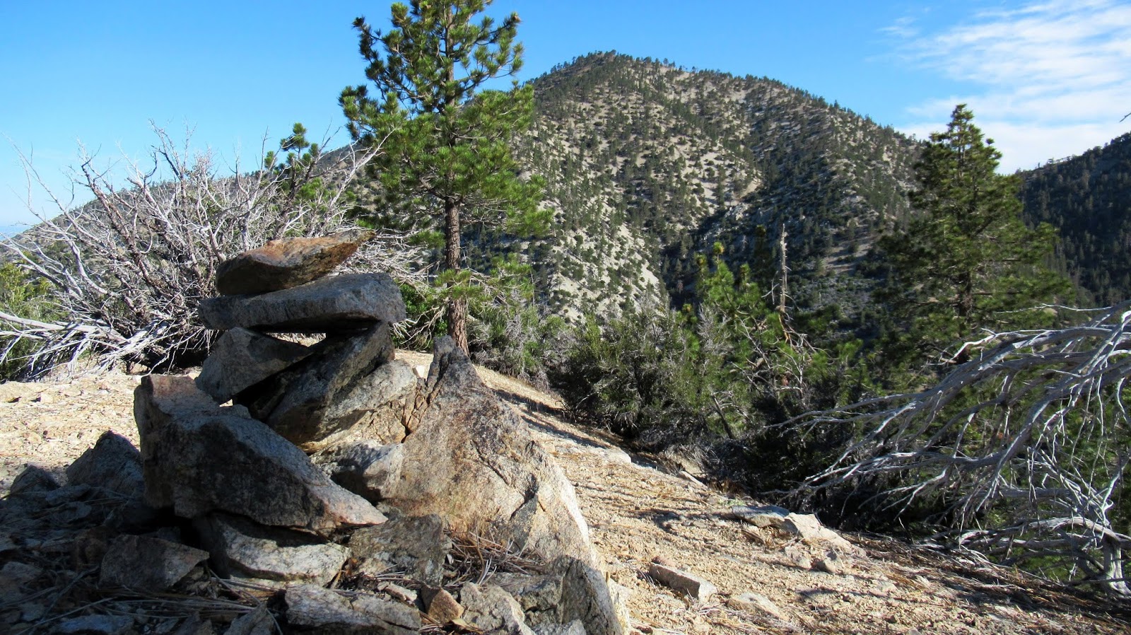
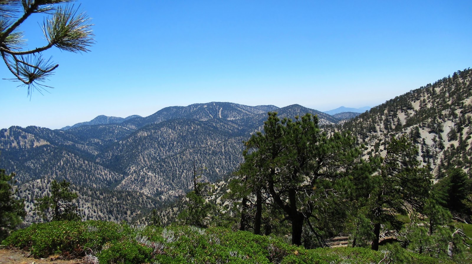
Pallett from Bobcat
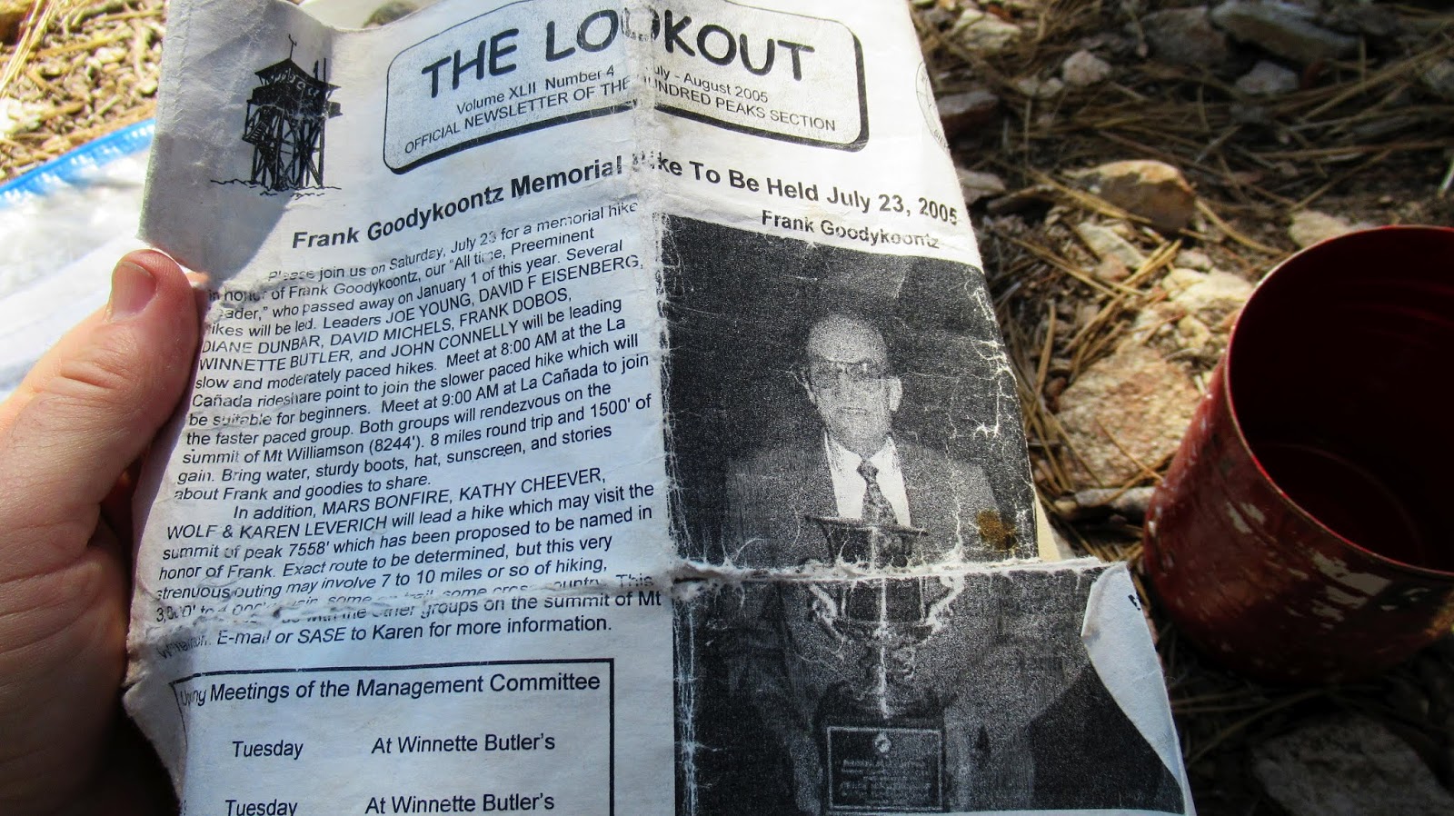
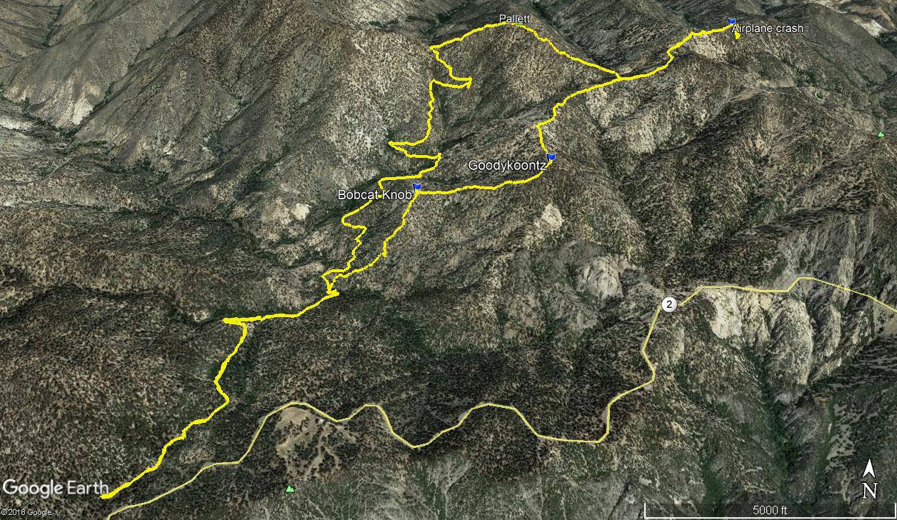
Goodykoontz memorial hike, 2005
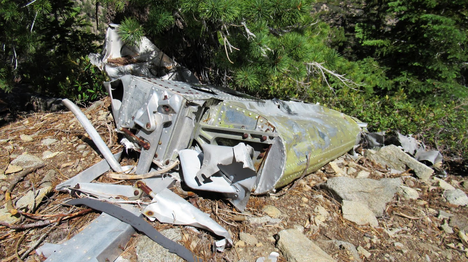
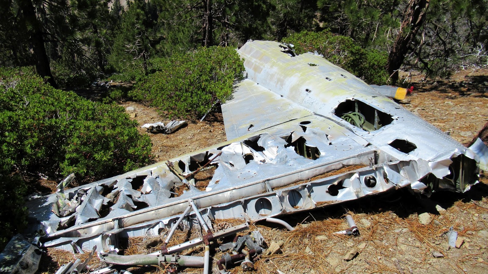
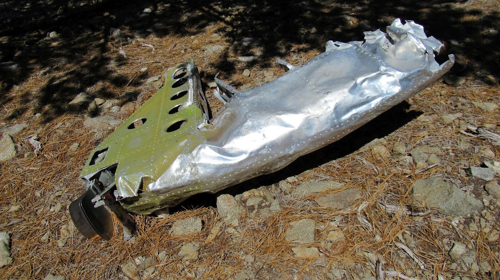
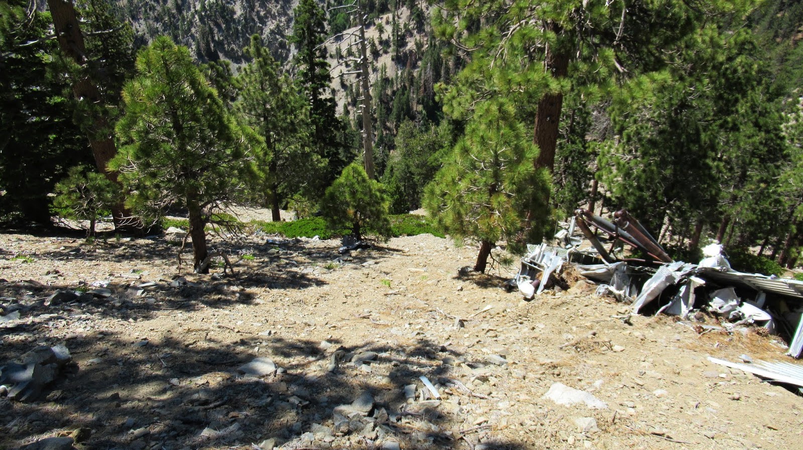
I dropped to the saddle between Goodykoontz and Williamson, then continued up toward Williamson. Along the way, I found a side use trail that headed toward the ridge with the plane crash. It was unexpected, but saved some gain and distance. The use trail continued along the south, then north side of the ridge and led right into the debris field on the north side. The C-119 apparently crashed near the top of the south ridge sending debris over the top. Most of the plane remained on the south side and large pieces have been washed down the side over time. I focused on the south side, descending about 200' down the slope. There were more parts farther down. I've read about another crash site farther down the north side, but I didn't explore it to conserve energy. After some photos, I started back for Pallett with a few small aircraft pieces in tow.
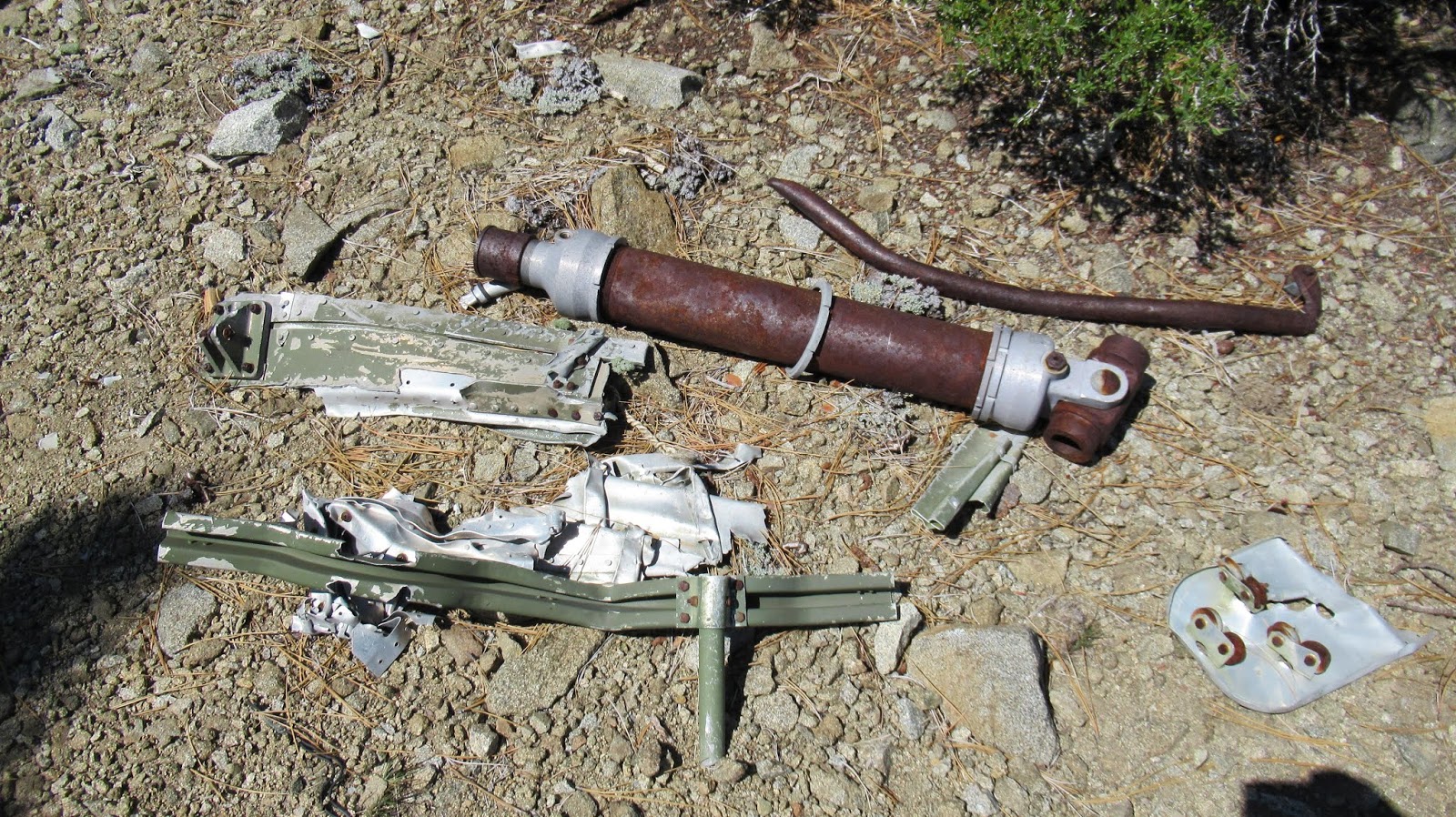
Landing gear?
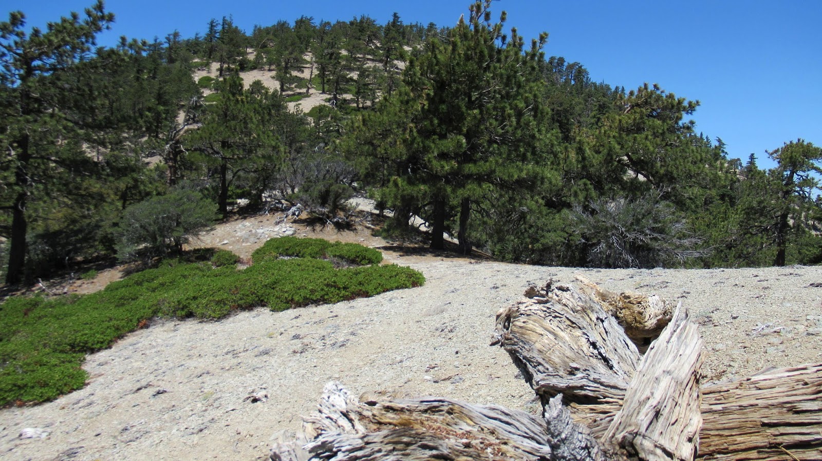
I returned on the use trail until I was close to the creek below Pallett. I went straight down, crossed, and started up. I was surprised again to find a good use trail on Pallett. The trail led to the very long and wide summit plateau. I found what I thought was the high point, but no markers or register. Nothing to indicate the summit. I wandered all over the top looking for something that marked the high point, but didn't find anything. I continued down the other side to the Burkhart saddle, rejoining the official trail. I noticed how close Will Thrall was from the saddle and I was still feeling energetic. In the end I decided to skip it so I would have an excuse to come back for Will Thrall and Pleasant View Ridge. It is such a pristine area of forest. The climb out of Cooper Canyon was mild compared to the slopes I had been climbing all day and presented no challenge.
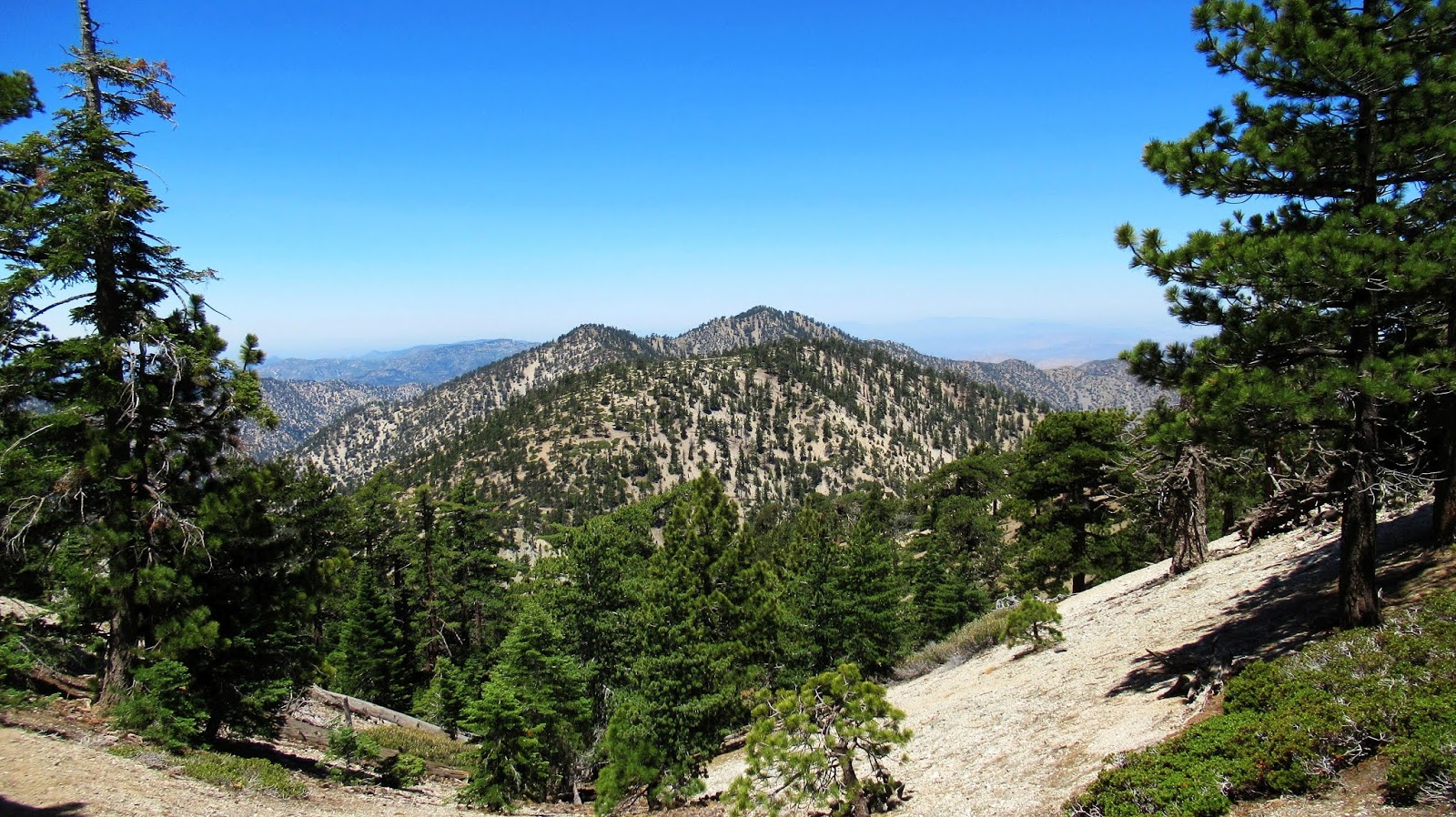
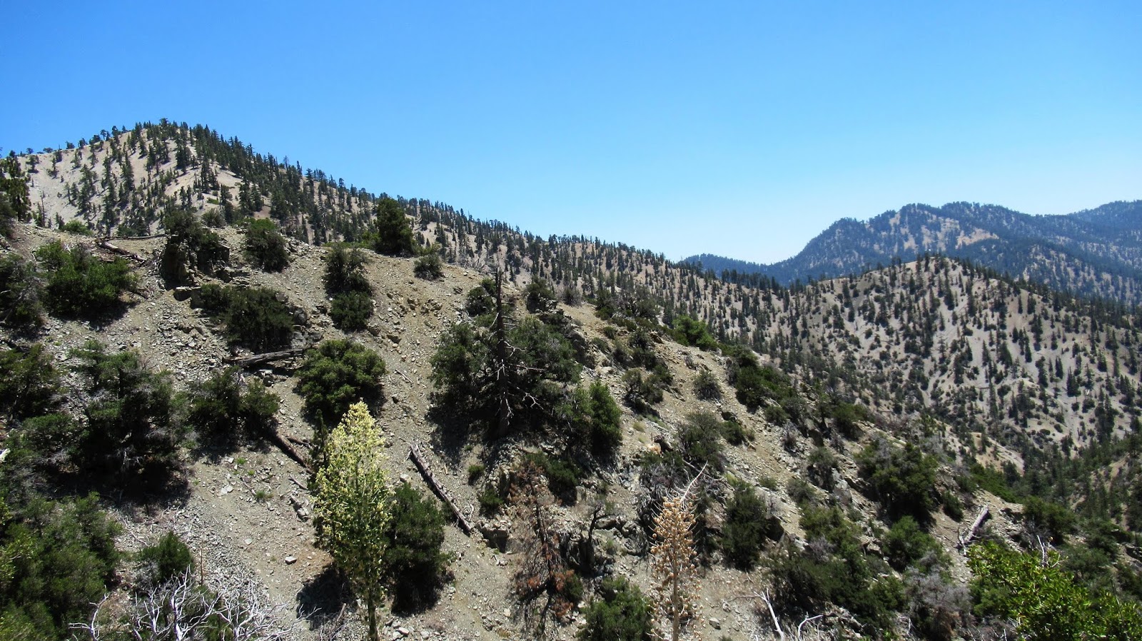
Pallett, with Will Thrall and Pleasant View Ridge behind
Burkhart Saddle
Goodykoontz and Bobcat Knob from the trail