PL and P

TRs for the San Gabriel Mountains.
Post Reply
User avatar
dima
Posts: 1349
Joined: Wed Feb 12, 2014 1:35 am

Post by dima »

OK, so today I went up the East Fork, looking to check out some areas I've never been. Loose plan was to get up to Airplane Flat, then do some stuff. This will help:

http://caltopo.com/map.html#ll=34.2832, ... 7&z=15&b=t

I parked at the East Fork trailhead and booked it to the bridge. Just short of the bridge, in the usual spot were 5 bighorn sheep. This group was especially interesting: two of the rams had some sort of disagreement, and there was shoving and head-butting. Neat!

Image

I crossed the river and started walking uphill. The old USGS topos show some trails here, but I've only ever looked-for (and found) and single switchback. This time, I noticed a clear trail cut to the West:


Image

I climbed up to the start of the cut and saw that it was still a real trail


Image

Here the trailbed was cut out of solid rock, so it was still there. I walked further to the South, and found a fantastic old sign:


Image

What is "PL and P"? The sign is in shockingly good shape, given that this trail has been abandoned for decades and decades now. At the sign is a junction. One can walk down towards the river on some poorly-defined trails. You end up at the trail along the river, at some old cabin ruins:


Image

These ruins lie exactly the the BM 2612 marker on the USGS topos. Or you can traverse further South. Very quickly the trail rounds a corner and dies out, leaving you with a nice overhead view of Devil's Gulch falls:


Image

That's pretty nice! I then turned around, and tried to follow the trail in the other direction. It's in poor shape to put it mildly. Most of this area is loose scree or loose dirt. Everything moves around over time, covering the trail. Or if it doesn't move, then stuff starts to grow on the trail. And if THAT doesn't happen, then bighorn come out, and make a myriad of their own trails, that all look similar at this point. It's well-defined in some places, though:


Image

Moving towards Airplane Flat, the trail has some switchbacks (that sorta still exist), then it meets another old trail further up (that also sorta still exists). To get to Airplane Flat, one traverses this upper trail Eastward. This section crosses several sketchy gullies, and since there was no obvious trail here, it took a long time to safely climb around everything.

Airplane Flat is just on the other side of a ridge. The toe of this ridge cliffs out above the bridge, and at the tip is this benchmark:


Image

It's not on the map! I watched the bungee jumpers from above


Image

and then rounded the corner to hit Airplane Flat. Airplane Flat looks to be the top of a small hill that is surrounded by an impregnable wall of brush. The trail exists here, but travel is pretty much impossible


Image

On the way back I found the old trail, and that made the gully crossings trivial. The trailbuilders made cuts in the rock for the trail to pass through, and if you find those cuts, then crossing is very easy. Example:


Image

I then kept exploring by backtracking on the upper trail further West, towards Devil's Gulch. I was thinking of getting into the drainage, and then taking it to Rattlesnake Peak or something. Turns out this is very difficult. The area approaching Devil's Gulch is especially loose, and there's not trail there at all anymore. Which is annoying, because the whole time you're looking at the area PAST Devil's Gulch and it has a very well-defined trail cut:


Image

It's probably way overgrown there, but it's SO clearly visible. In any case, there was no reason to push through this, so I turned around to go back the way I came. On the traverse I almost stepped on a bird. It responded by flying maybe 10ft away, landing on the ground, and pretending to be a rock.


Image

If you got too close it would swallow as much air as possible to look big. ID?

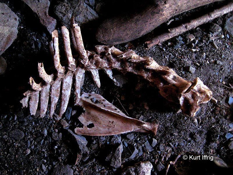
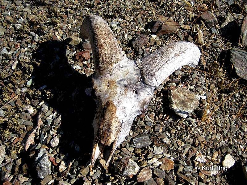
In any case, I walked down, and found 12 more bighorn. Complete with a lamb

Image

Image

Neat! On the way back, I went into Devil's Gulch since I've never seen those falls the "normal" way. There's a pretty fantastic ruined cabin in there. Somebody built a concrete shelf on the side of the canyon for the house; they cemented the stove and chimney into the vertical rock wall of the canyon. And when some flood washed away the floor and the house, the stove/chimney remained suspended in the air, still attached to the wall.

Image

And then I got to the falls, which are really nice too

Image

Image

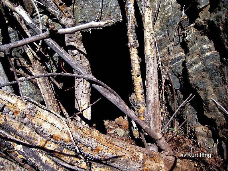
That would mostly do it for the day. I swung by the Queenie mine on the way back, since I haven't been in there before, either. There's some mineralized water dripping down, and some baby stalactites growing.

Image

Image

Not bad for a trip where I didn't actually end up anywhere!
User avatar
Elwood
Posts: 612
Joined: Fri Aug 15, 2008 5:23 pm

Post by Elwood »

PL&P = Pacific Light and Power. Awesome report and pictures by-the-way.
User avatar
robow8
Posts: 43
Joined: Wed Oct 12, 2016 4:14 pm

Post by robow8 »

User avatar
HikeUp
Posts: 3855
Joined: Thu Sep 27, 2007 9:21 pm

Post by HikeUp »

Fantastic stuff!
User avatar
AW~
Posts: 2040
Joined: Mon Oct 01, 2007 12:00 pm

Post by AW~ »

Good to see someone get up there....I think its a classic off-trail route up to the subpeak 4775.
The sign is a really cool historical find....but I think the PL&P was on the Iron Mtn side. The sign says 6 miles to the East Fork, or a bit over one mile from the bridge.
Im pretty sure it crossed midway ridge...there is a signs of a trail there. How that sign got onto the South Hawkins side is quite a mystery!
And that its not burned from the fire in 2006! It must have been just out of range of the fire.
User avatar
HikeUp
Posts: 3855
Joined: Thu Sep 27, 2007 9:21 pm

Post by HikeUp »

Hikin_Jim has mentioned the PL&P trail before and sourced Robinson (cautiously) as having said the trail was on the west side of the river.
User avatar
AW~
Posts: 2040
Joined: Mon Oct 01, 2007 12:00 pm

Post by AW~ »

HikeUp wrote: Hikin_Jim has mentioned the PL&P trail before and sourced Robinson (cautiously) as having said the trail was on the west side of the river.
Fools then! Should have went with the east side lol.
User avatar
HikeUp
Posts: 3855
Joined: Thu Sep 27, 2007 9:21 pm

Post by HikeUp »

lol
User avatar
dima
Posts: 1349
Joined: Wed Feb 12, 2014 1:35 am

Post by dima »

It IS a Common Poorwill! Although it will always be a Special Poorwill to me. Wikipedia says they hiss if disturbed while nesting, and maybe that's what I saw. It looked like he (she?) was puffing up, but there was an hissing thing going on too.

I did a few web searches about the PL&P trail, and it looks like the best resource just may be this forum :) First off, AW and Taco did a very similar trip earlier:

https://eispiraten.com/viewtopic.php?t=1500

Except they brought ropes and skills, and descended Devil's Gulch like cool people. And other people have crossed the (alleged) PL&P trail:

https://eispiraten.com/viewtopic.php?t=1599

https://eispiraten.com/viewtopic.php?t=3116

Both of these are West of the river. And I looked up Robinson's book, and he does mention the PL&P trail in the East Fork traverse route description (hike 85 in the 9th edition). Allegedly there was a power plant planned below the Narrows, and the trail was built to aid that construction in some way, in 1911. Robinson gives directions consistent with what I found: 1/4 mile below the bridge climb up West of the river. The 9th edition was published in 2013, and it's completely nuts that this is listed as an alternative route.

AW: if the PL&P trail is on the East side, where is it, exactly? The high trail that traverses to Stanley Miller mine is called the "Highline" I think.

Oh, and I looked up old aerial photos (from here: http://mil.library.ucsb.edu/ap_indexes/FrameFinder/). The 1938 shots are more clear than the 1952 shots, and you can see the old trails. More or less they match the topo. Yeah.
User avatar
AW~
Posts: 2040
Joined: Mon Oct 01, 2007 12:00 pm

Post by AW~ »

I forgot about those aerial photos..cool. Still curious about following the trail on the east side to Iron's SW ridge.
Ive been to Airplane Flats plateau 4 times, mostly in pursuit of big bad pk 6327....only made it to that peak by coming in from above...peakery cheating hehehe. And in the official record, 2 trips would be canyoneering style points since I returned via Iron Fork.
User avatar
tekewin
Posts: 1195
Joined: Thu Apr 11, 2013 5:07 pm

Post by tekewin »

I love your spirit of exploration on a really fun ramble. Great overhead shot of the bridge!
User avatar
CrazyHermit
Posts: 343
Joined: Mon Sep 07, 2015 1:03 pm

Post by CrazyHermit »

Nice shots of the PL & P.(Pacific Light & Power Trail) That trail was built in 1911.
When you walked across the red rock cliff you were just above the Horseshoe Annex Mine.

http://secretmines.com/
User avatar
dima
Posts: 1349
Joined: Wed Feb 12, 2014 1:35 am

Post by dima »

CrazyHermit wrote: Nice shots of the PL & P.(Pacific Light & Power Trail) That trail was built in 1911.
When you walked across the red rock cliff you were just above the Horseshoe Annex Mine.
Really? I've looked for that mine before and couldn't find it. Some description I read says that it's on the West side of the river, with the entrance behind a big fig tree. Is that right?
User avatar
CrazyHermit
Posts: 343
Joined: Mon Sep 07, 2015 1:03 pm

Post by CrazyHermit »

dima wrote:
CrazyHermit wrote: Nice shots of the PL & P.(Pacific Light & Power Trail) That trail was built in 1911.
When you walked across the red rock cliff you were just above the Horseshoe Annex Mine.
Really? I've looked for that mine before and couldn't find it. Some description I read says that it's on the West side of the river, with the entrance behind a big fig tree. Is that right?
Correct, but the fig tree has died. It looks like a thick tangle of branches in front of the mine, about 50 feet below the PL & P.
Be careful if you find it. A mountain lion has used it as his den.


Mine Portal
Image

Bighorn Carcass Inside
Image

Here's the skull (I took this home)
Image
Post Reply