Hunter's Ridge

TRs for the San Gabriel Mountains.
Post Reply
User avatar
Sean
Cucamonga
Posts: 3787
Joined: Wed Jul 27, 2011 12:32 pm

Post by Sean »

Hunter's Ridge divides the San Sevaine and Coyote watersheds at the east end of the San Gabriel Mountains. It begins in the city of Fontana and ends at an elevation of 4100' in the San Bernardino National Forest, where it encounters the massive Lytle Creek watershed.

Image

I'm calling this Hunter's Ridge because the trail starts in the Hunter's Ridge planned development in Fontana. More precisely it begins on Foxborough Drive. Look for an unmarked opening in the sidewalk fence, located 600 feet before the Panorama gated community.

Image

Image

The opening provides access to service roads for the electrical towers.

Image

Follow the road to the upper tower on the left, a mere quarter-mile from the street. A bit beyond the tower is a small parking area.

Image

You can actually drive to this spot via a dirt access driveway off Duncan Canyon Road and save yourself a half-mile of walking if you do an out-and-back. But this report is for a loop.

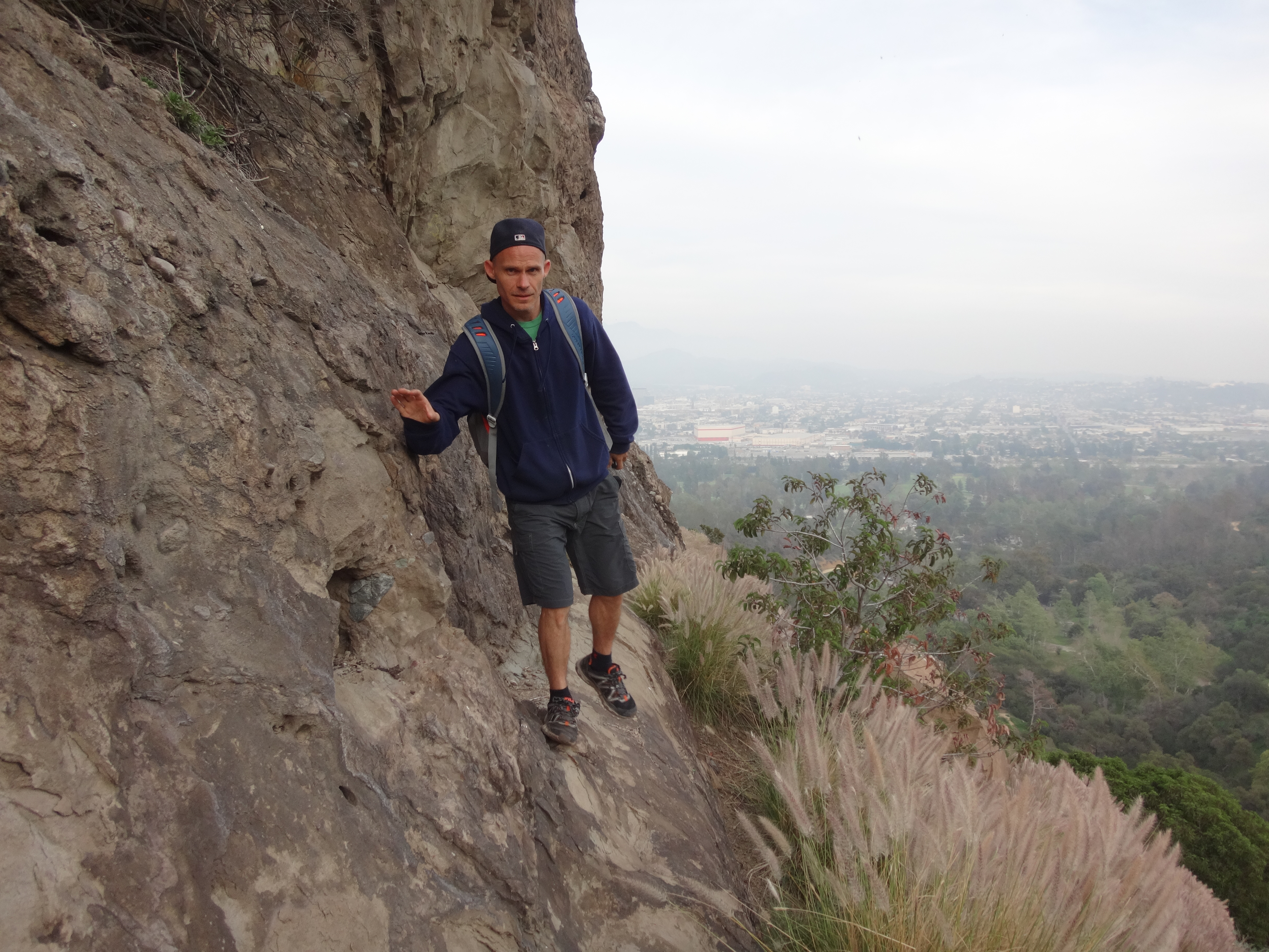
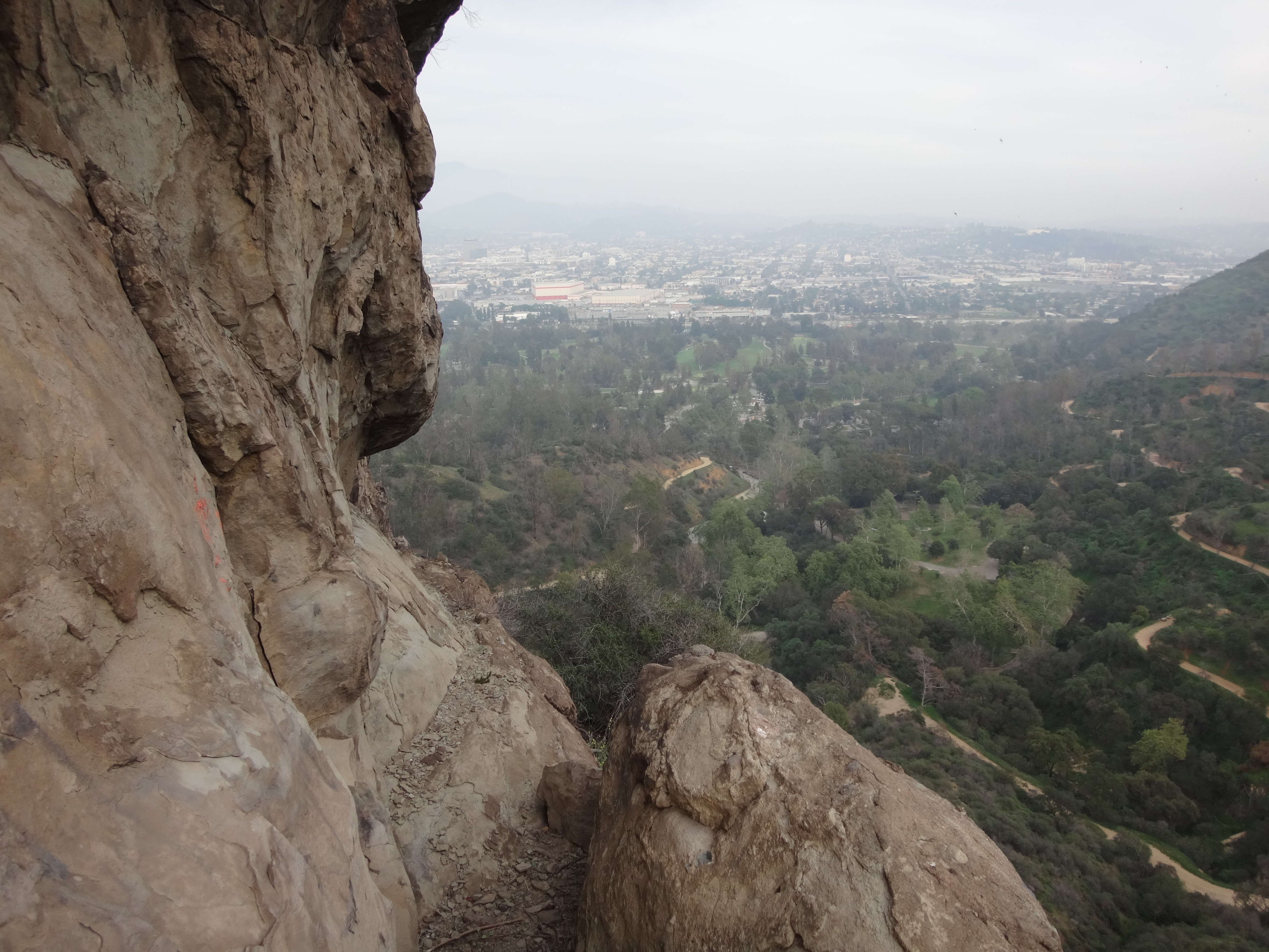
The trail continues steeply up the ridge and quickly offers broad views of the surrounding city.

Image

It then eases up for a stretch and provides a more gentle ridgetop experience with a decent trail.

Image

To the right notice Coyote Canyon (also named after a Fontana community).

Image

After a little more climbing you come to a white cross, about 1.25 miles from the street parking.

Image

This cross marks the boundary between Fontana and the National Forest. It is a neat place to take in the views and chill. And it should probably be your turnaround spot unless you are into horrible bushwhacking. For the remaining miles will take you through thick overgrowth with ticks and a little poison oak.

Image

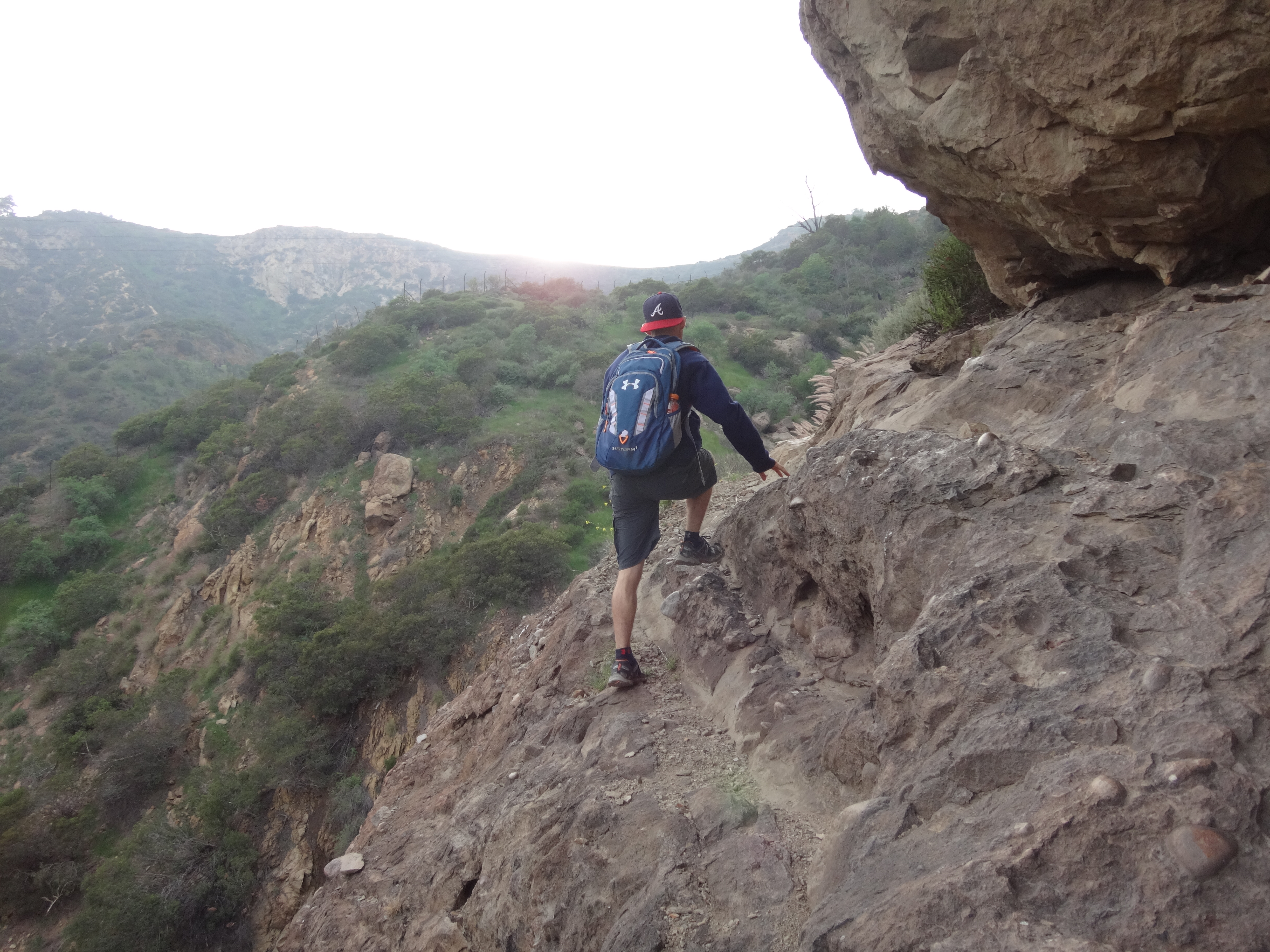
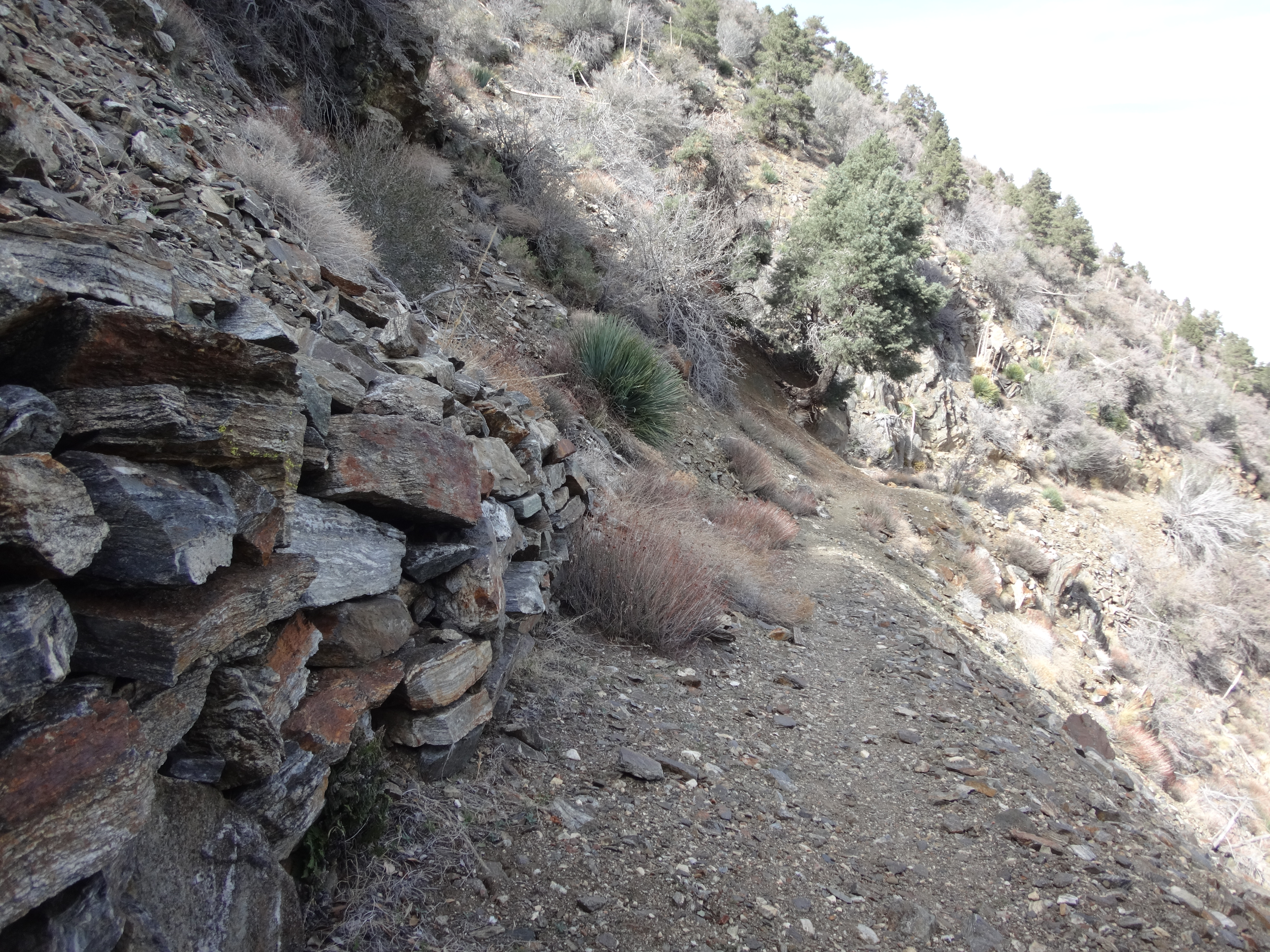
Basically, continue up the ridge. Use your route-finding skills to follow a heavily overgrown path which sometimes switchbacks up the steep slope and climbs over rock outcroppings. When you get to the bump above the Bullock Spur Road, you will be swimming in head-high brush with electrical poles visible to the right.

Image

Go right, push through the brush, and stay ridgetop until you reach the first pole, then carefully drop down to the road.

Image

Image

Bullock Spur (1N36) was named for John Bullock, owner of the famous Bullock's department store. He built his ranch in Fontana and hunted in these mountains a hundred years ago. And like his department store, the Bullock Spur road doesn't really exist anymore. Oh, the basic structure is still there, but something else occupies it. And it's definitely not a Macy's. It's more like a tangle of various kinds of plant life.

Image

Don't expect the "road" to get better, because it doesn't. You will be pushing through light to heavy junk nonstop. I suggest talking to the flowers. It helps to keep your mind in the right place.

Image

Image

Also, there are ticks in several areas. And watch out for snakes, though I only heard them rattling lower down the ridge before the cross.

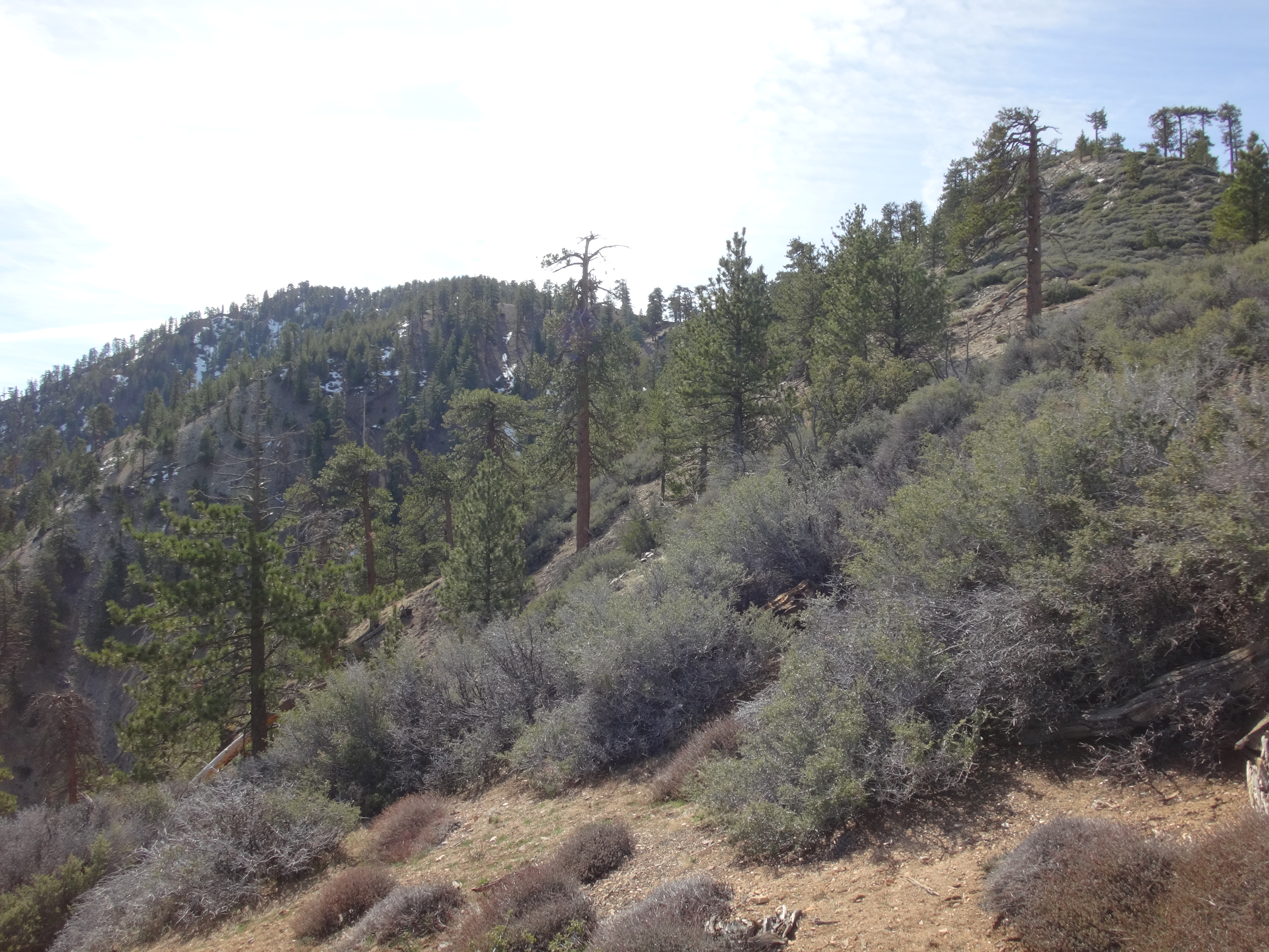
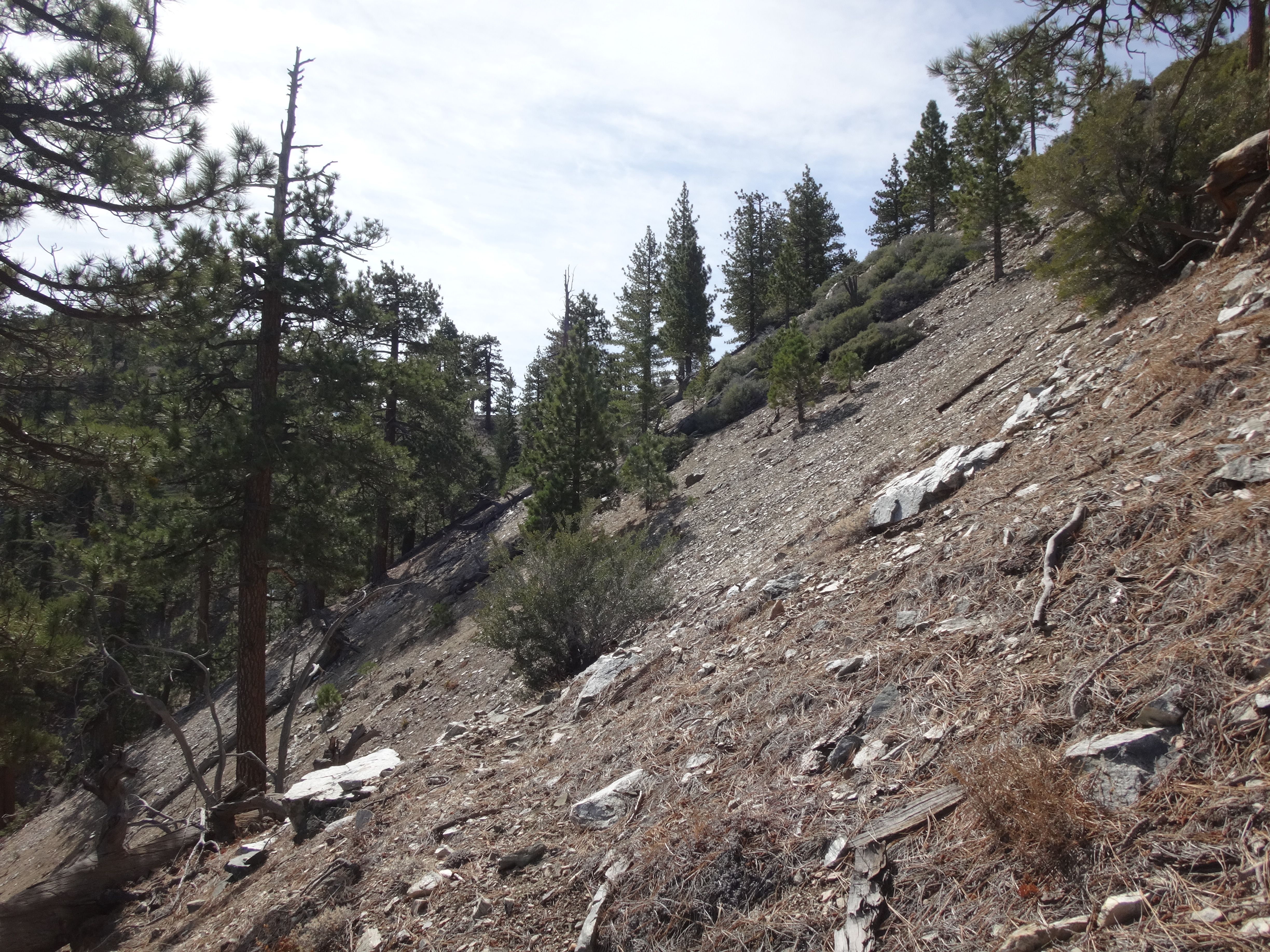
The abandoned road first heads along the side of Hunter's Ridge. Then it begins weaving up a minor branch of the San Sevaine watershed.

Image

Eventually you round a bend and reacquire Hunter's Ridge near the top.

Image

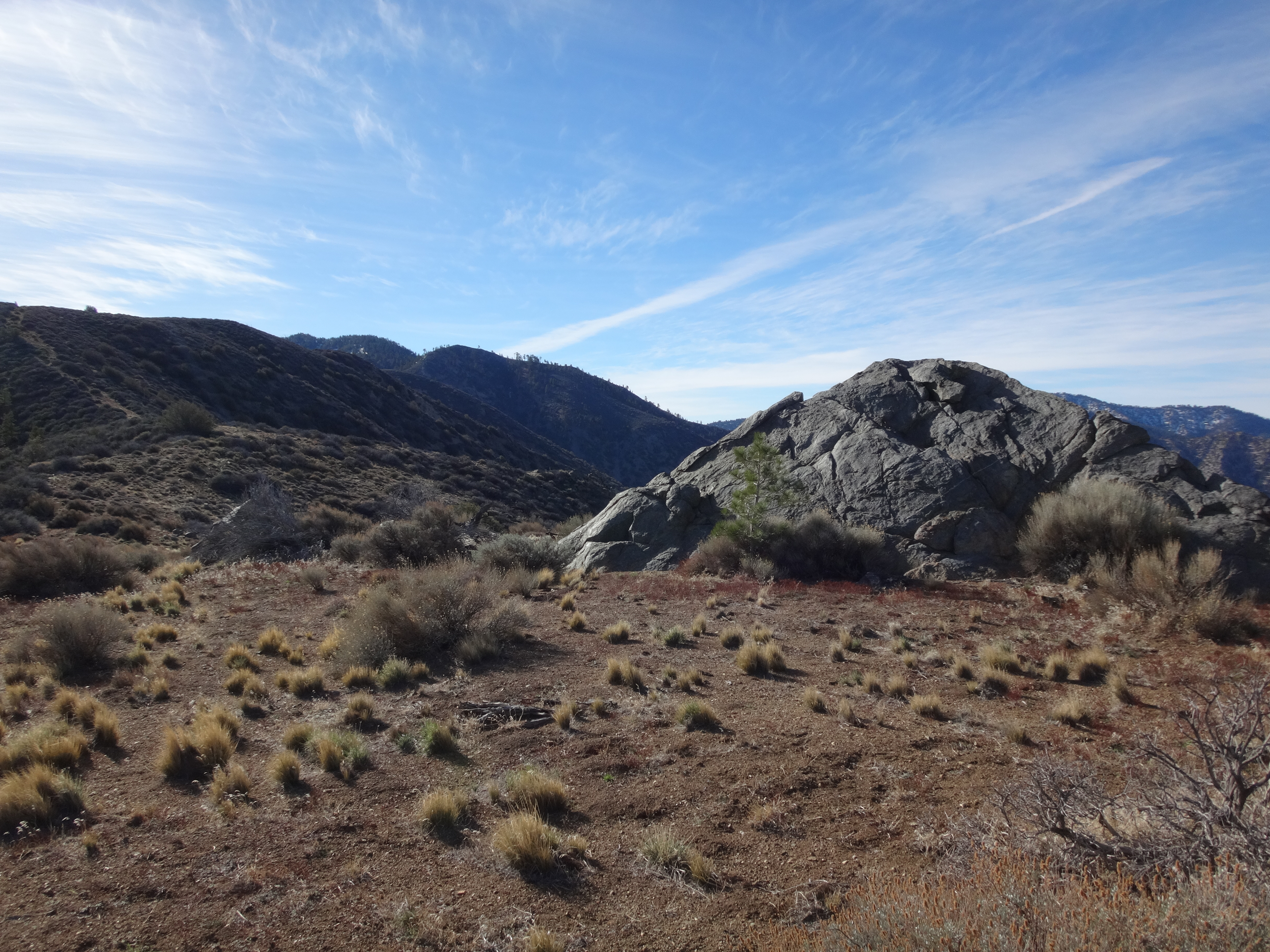
Take pleasure in the views, because you sure as hell earned them.

In the distance is Cajon Mountain.

Image

And down below is Lytle Creek wash.

Image

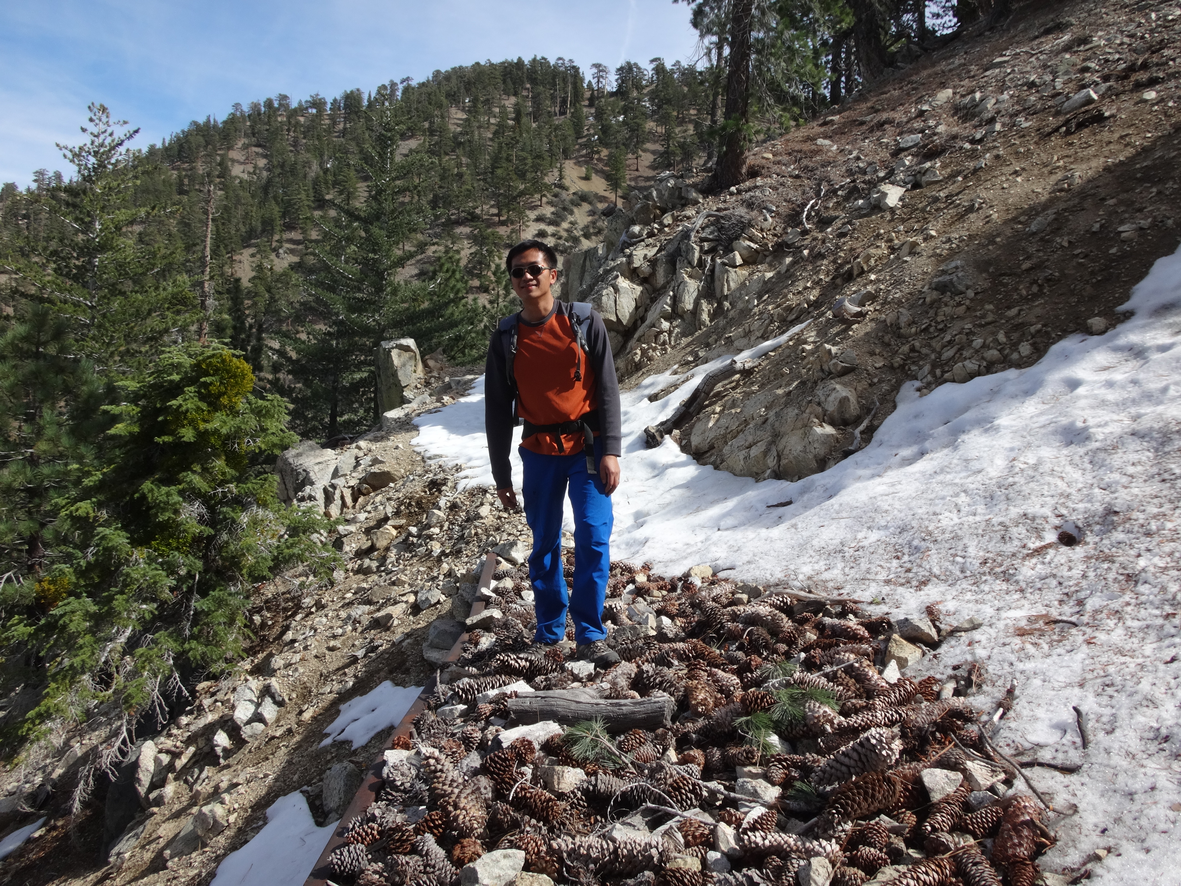
There is no peaklet here. Just one brushy ridge T-boning another. But you can at least envy the brush-free San Sevaine Road snaking against the slopes down below. Bullock Spur continues up to meet it somewhere. But the Spur still looks horrible after this point. And by now I was done with bushwhacking. I turned around, satisfied with having made it to the top of Hunter's Ridge--and to some sort of impressive view.

For the return, I suggest following the Bullock Spur road all the way down to its beginning at the top of Foxborough Drive. Then walk through the private community of Panorama, back to the Hunter's Ridge trailhead. The community entrance is locked. Therefore you will have to wait for a car to open the automatic gate so that you can exit.
User avatar
Girl Hiker
Posts: 1335
Joined: Fri Apr 04, 2014 7:46 am

Post by Girl Hiker »

Nice TR and pics. Especially the one red flower that matches your bandana. :)
User avatar
HikeUp
Posts: 3861
Joined: Thu Sep 27, 2007 9:21 pm

Post by HikeUp »

Nice TR and pics.

Just curious...wtf is it about this ridge that made you want to ascend it? There are countless overgrown, trailess, "pointless"(?) ridges in the San Gabriels. Not trying to demean your choice of hikes but honestly just curious, why THIS ridge?
User avatar
mattmaxon
Posts: 1137
Joined: Mon Mar 24, 2008 12:48 pm

Post by mattmaxon »

HikeUp wrote: , why THIS ridge?
As George Mallory said "Because it's there"

The red flower is Scarlet Catchfly

https://www.calflora.org/cgi-bin/specie ... cnum=10374
User avatar
Sean
Cucamonga
Posts: 3787
Joined: Wed Jul 27, 2011 12:32 pm

Post by Sean »

HikeUp wrote: Just curious...wtf is it about this ridge that made you want to ascend it? ...why THIS ridge?
I have a few things I want to do up at San Sevaine. And I've been curious about ascent options. AW did this same route back in January. He went a little higher up than I did.

On another thread a member then linked to this Sierra Club trip report on Bullock Spur.

And finally I happened upon a video by Justin Williams. He talks about looking for a connection between the ridge and Bullock Spur. (Note that he calls the initial ridge path "The Duncan Canyon Crest Trail." My understanding, however, is that Duncan Canyon begins one canyon north of the Coyote Canyon development, and the trail does not touch it. But maybe I'm wrong. I didn't bump into any locals whom I could interrogate.)


Anyway, I guess that video was the final straw. I just couldn't take it anymore and had to go check out the route for myself.

It would be great if this route were mostly clear of brush and ticks. But it's not. So I probably won't use it for San Sevaine.
User avatar
Sean
Cucamonga
Posts: 3787
Joined: Wed Jul 27, 2011 12:32 pm

Post by Sean »

Thanks! I always appreciate these IDs. This flower looked less common than all the others along the Spur.
User avatar
HikeUp
Posts: 3861
Joined: Thu Sep 27, 2007 9:21 pm

Post by HikeUp »

AW did this same route back in January.
If anything, this is a reason to go nowhere near the place! :D
User avatar
AW~
Posts: 2043
Joined: Mon Oct 01, 2007 12:00 pm

Post by AW~ »

HikeUp wrote:
AW did this same route back in January.
If anything, this is a reason to go nowhere near the place! :D
Bwah! You can start playing Still Corners - The Trip, the official song of SBC routes....and while Im not a meat eater, I dont mind the cuing of the meat for the end of the route(this time it'll be 28 miles or so according to the beta). Add the fire going ,the sunset, and the nobodies that inhabit the place please. I might be able to be talked into the game of horseshoes....but I suck big time,especially when you play against the locals.
Image
User avatar
Sean
Cucamonga
Posts: 3787
Joined: Wed Jul 27, 2011 12:32 pm

Post by Sean »

AW wrote: Bwah! You can start playing Still Corners - The Trip, the official song of SBC routes....
Post Reply