
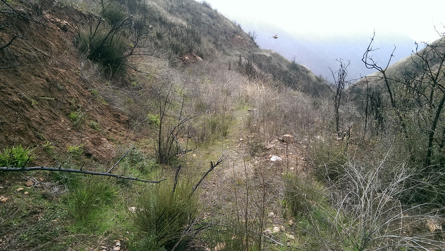
Most of the road looked like this:
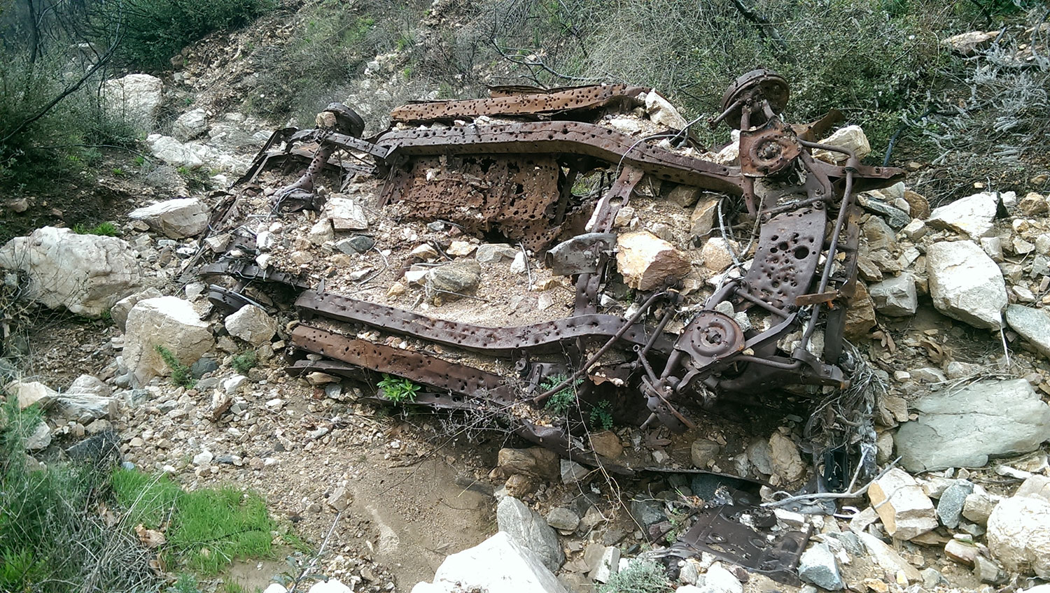
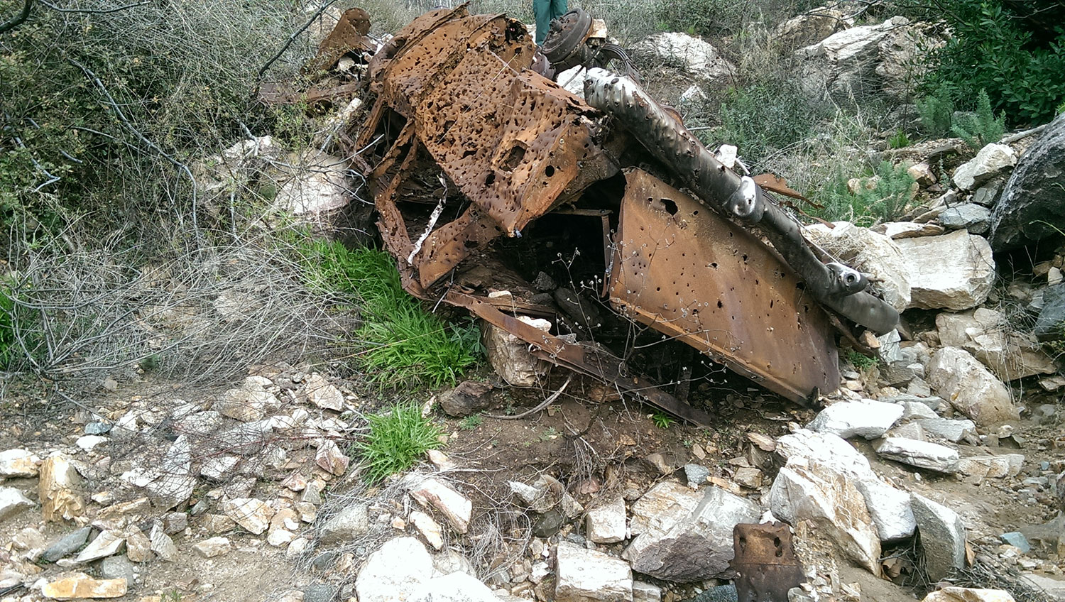
Somewhere in the neighborhood of 34.27218,-117.83386 I encountered this vehicle:
I continued on for about another mile until I encountered a real washout that left nowhere to go but back.
Bichota Creek was flowing hard enough that I could hear it from the ridge top. It looked more like the East Fork of the San Gabriel River than the seep it normally is.
