Turtle's Beak (or should it be "Masochism Point"?)

TRs for the San Gabriel Mountains.
Post Reply
User avatar
dima
Posts: 1349
Joined: Wed Feb 12, 2014 1:35 am

Post by dima »

I ended up more or less following the route that Sean, Cecelia and Henry took on their previous expeditions, so this will sound familiar.

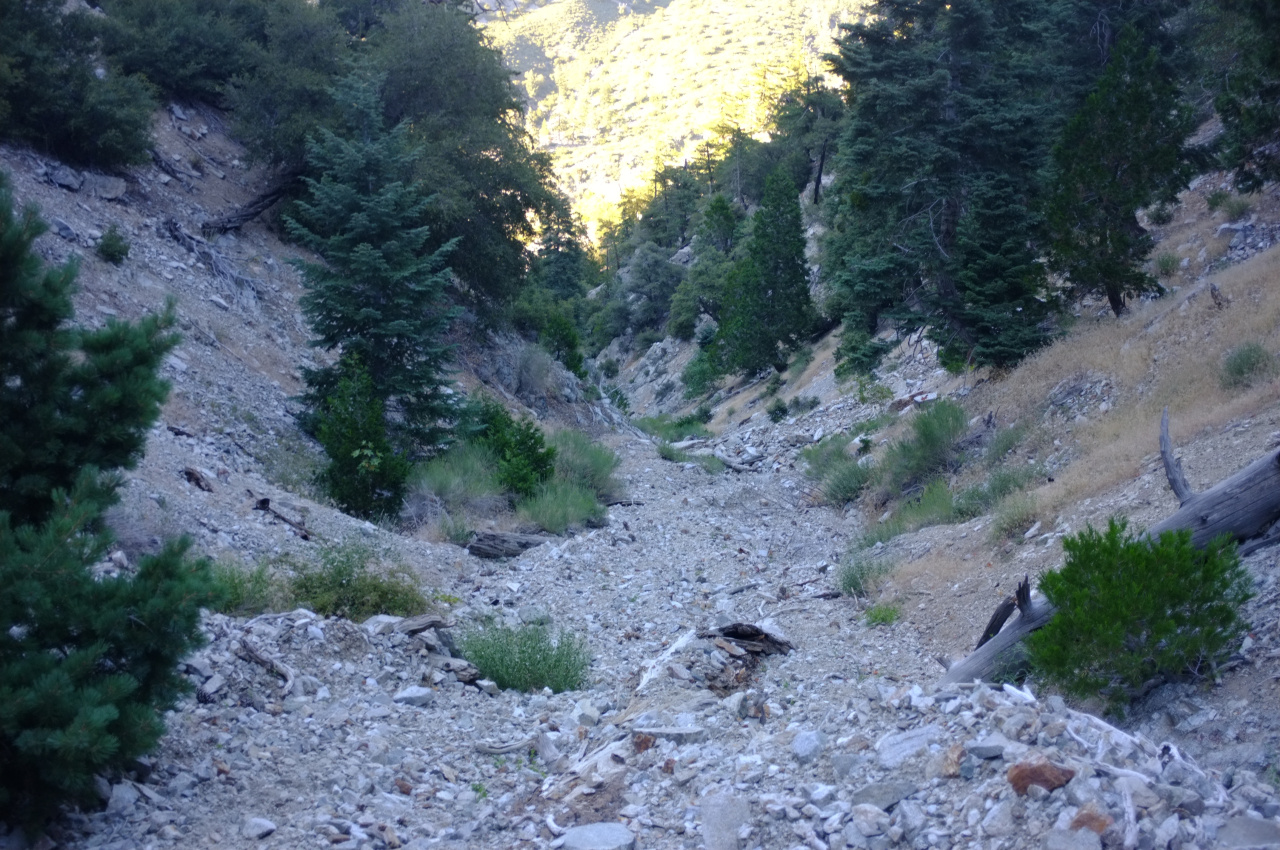
I took Barrett-Stoddard road to Cascade Canyon. Cascade canyon is steep and is full of colorful (and loose) rock. It is also full of gnats, poison oak, some sort of stinging nettle and sharp blackberry bushes.

Image

There're a lot of ripe berries, which was nice.

Image

At around 5200ft I wanted a change of pace, so I took a right turn to climb directly up to Turtle's Beak. It got significanly more steep and loose, so the brush and gnats mostly disappeared.

Image

After much sketchy scrambling, I summitted.

Image

Any guesses about how many parties signed the register since Sean's last trip in April?

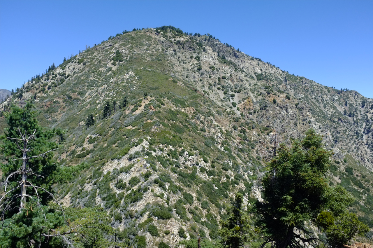
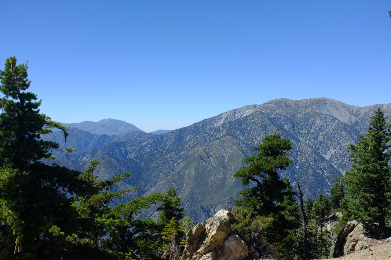
The views from Turtle's Beak are nice. And you can see the climb to point 7792, which is coming up:

Image

It is a brushfest. I brought gardening gloves to handle the whitethorn, but they weren't thick enough. I also neglected to bring long pants, which is a tough lesson to repeatedly learn for some reason. While pushing through the whiterhorn I sought out the rocky islands, and nothing wakes you up quite like exposed 3rd class moves on unstable rock where you have to fight with sharp plants for holds.

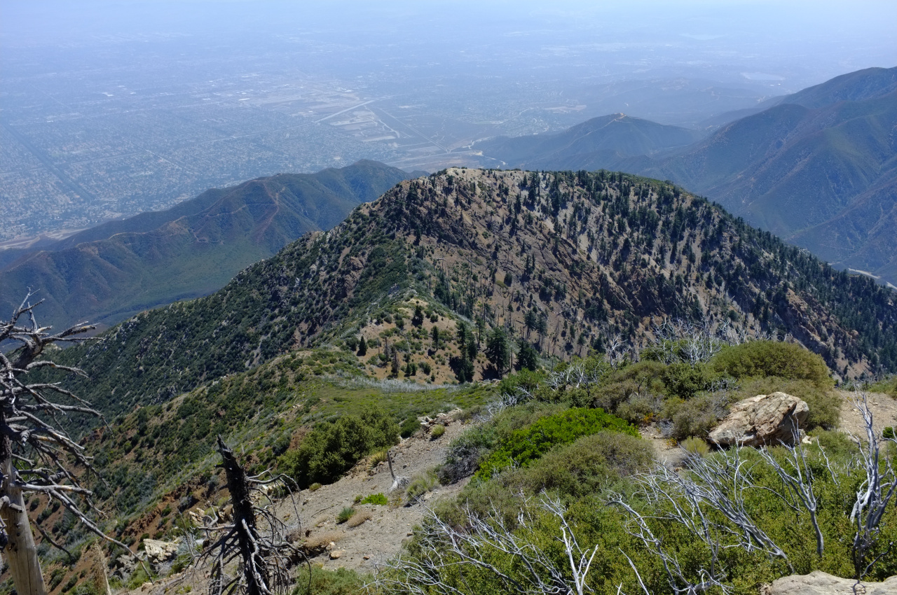
From point 7792 the beak and the brush look like this:

Image

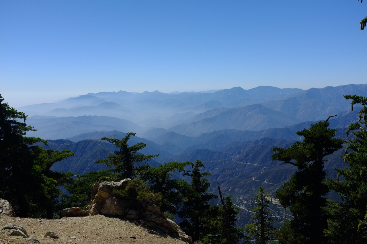
In any case, at point 7729, everything changes immediately and dramatically. The brush is gone. The loose rock is gone. Instead you're now in the open pine forest of Ontario Ridge.

Image

The going at this point is easy and pleasant. The views are nice

Image

Image

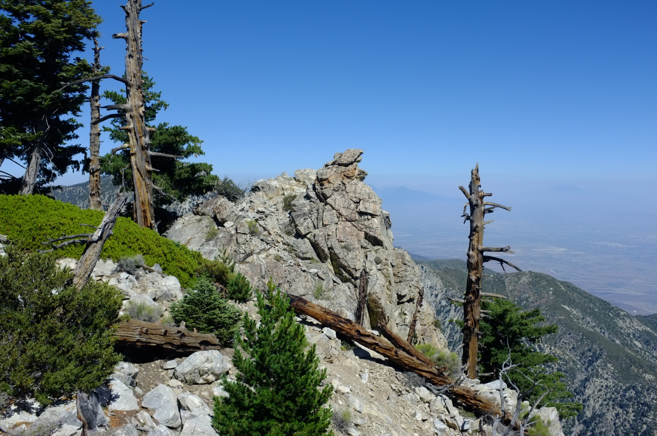
And there are cool rock formations

Image

Image

Image

Scrambling across some of these rocks I set off a rattlesnake that must have been hanging out in a crevice in the boulders. It sounded pissed, but I never saw it.

The ridge is mostly wild, but there're a few signs of human activity. Most notably, a few of the pines were cut down:

Image

Image

This wasn't done systematically-enough to make for an effective firebreak, so I don't know what it is.

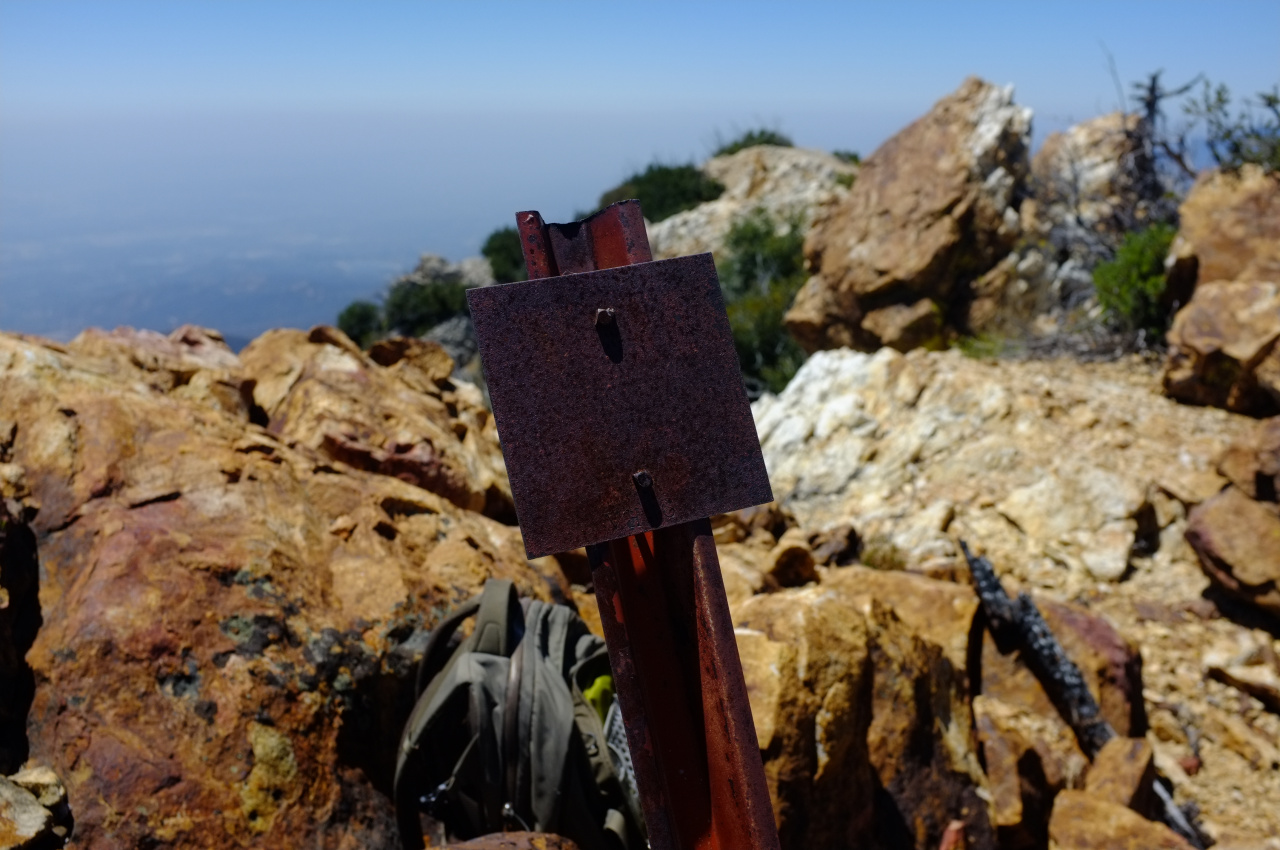
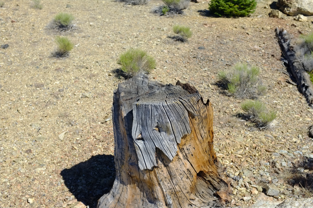
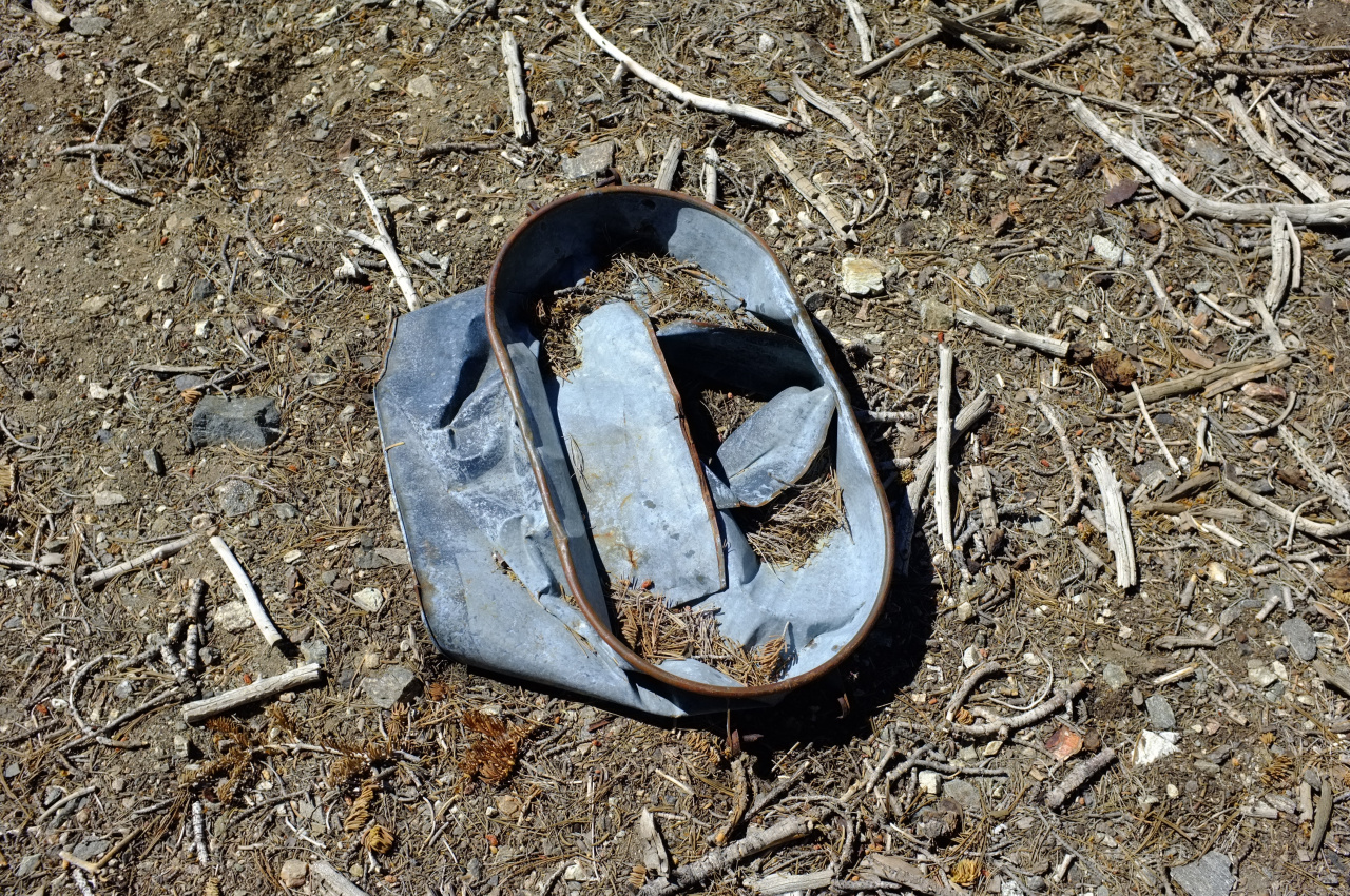
There was also an area with lots of unidentifiable rusted-out metal chunks. And this:

Image

There's some more brush right before Ontario, much of it blooming chinquapin full of bees working on the flowers. That wasn't thick enough to present much of a problem. At the start of the day I had grand plans of descending a different canyon, maybe checking out the old Lapis Lazuli mine. But I had enough of unstable rock and sharp, stinging, biting things. So I made a beeline for the Icehouse Canyon trailhead by descending the Falling Rock Canyon ridge. It's easy going, is open-enough and has a use trail for much of the way. Soon I was at Sugarloaf saddle looking at 3 bighorn sheep on the scree a bit below. I bagged Sugarloaf, slid down the scree to the canyon floor, and was home free.

Image
User avatar
Uncle Rico
Posts: 1402
Joined: Thu Mar 20, 2008 7:48 pm

Post by Uncle Rico »

Very nice. This made me laugh.
The going at this point is easy and pleasant.
The whole ridge looks tough to this old man. :shock:
User avatar
RichardK
Posts: 727
Joined: Sun Sep 30, 2007 12:33 pm

Post by RichardK »

I never knew blackberries grew in the mountains. Nice pictures - thanks!
User avatar
Sean
Cucamonga
Posts: 3783
Joined: Wed Jul 27, 2011 12:32 pm

Post by Sean »

The ridge is mostly wild, but there're a few signs of human activity. Most notably, a few of the pines were cut down:

Image

This wasn't done systematically-enough to make for an effective firebreak, so I don't know what it is.
I have some theories:

On ridges with trees, crews sometimes thin the forest in order to prevent a more devastating wildfire. Those felled trees might be from a thinning operation many decades ago, even before the Cucamonga Wilderness zone was created in the 1960s. The metal signs on the ridge could be firebreak designators from that original thinning operation.

Perhaps these trees were struck by lightning and cut down.

Or: they were victims of the Padua/Grand Prix Fire in 2003 and felled to promote new growth or some other reason.
User avatar
tekewin
Posts: 1195
Joined: Thu Apr 11, 2013 5:07 pm

Post by tekewin »

Looks tough, especially above Turtle. Masochism for sure. Great photos, though. A pretty good collection of beta is building up for this remote ridge.
User avatar
Girl Hiker
Posts: 1330
Joined: Fri Apr 04, 2014 7:46 am

Post by Girl Hiker »

Nice TR and pics. When we went up there cascade canyon was one big mess! Sounds like it still is but I didn't see any berries! Glad you made it to Turtles Beak.
Cecelia
User avatar
alyonka2004
Posts: 1
Joined: Mon Aug 08, 2016 8:42 pm

Post by alyonka2004 »

I really enjoyed your trip report. I think wearing pants is a good idea! :D
User avatar
turtle
Posts: 152
Joined: Wed Jan 27, 2010 11:35 am

Post by turtle »

dima wrote: It is a brushfest. ... While pushing through the whiterhorn I sought out the rocky islands, and nothing wakes you up quite like exposed 3rd class moves on unstable rock where you have to fight with sharp plants for holds.
Ahhh... memories. :D

My Thermarest (strapped on the outside of my pack) did not survive the passage through that segment.

Thanks for a really nice trip report!
Post Reply