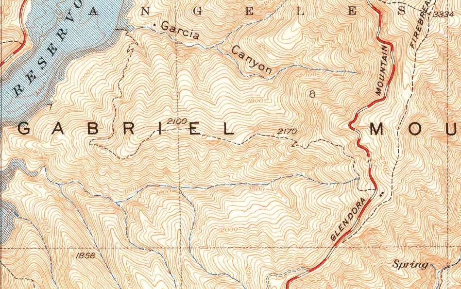
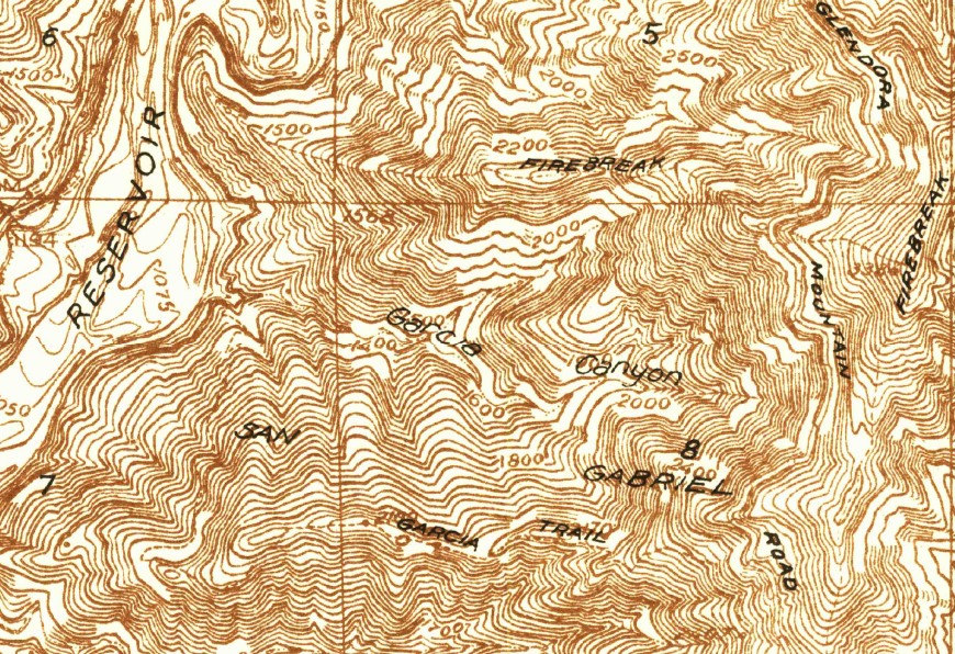
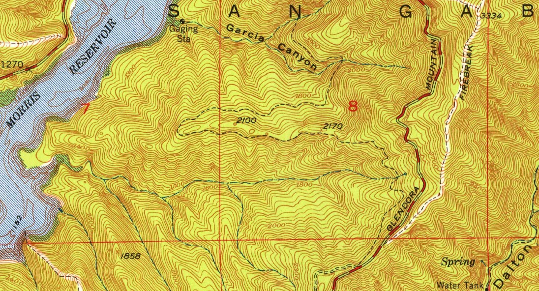
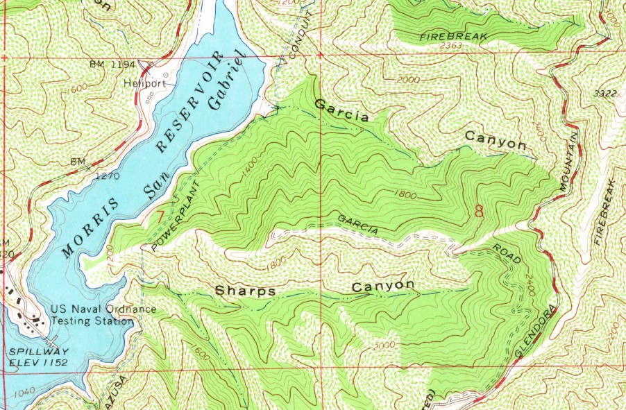
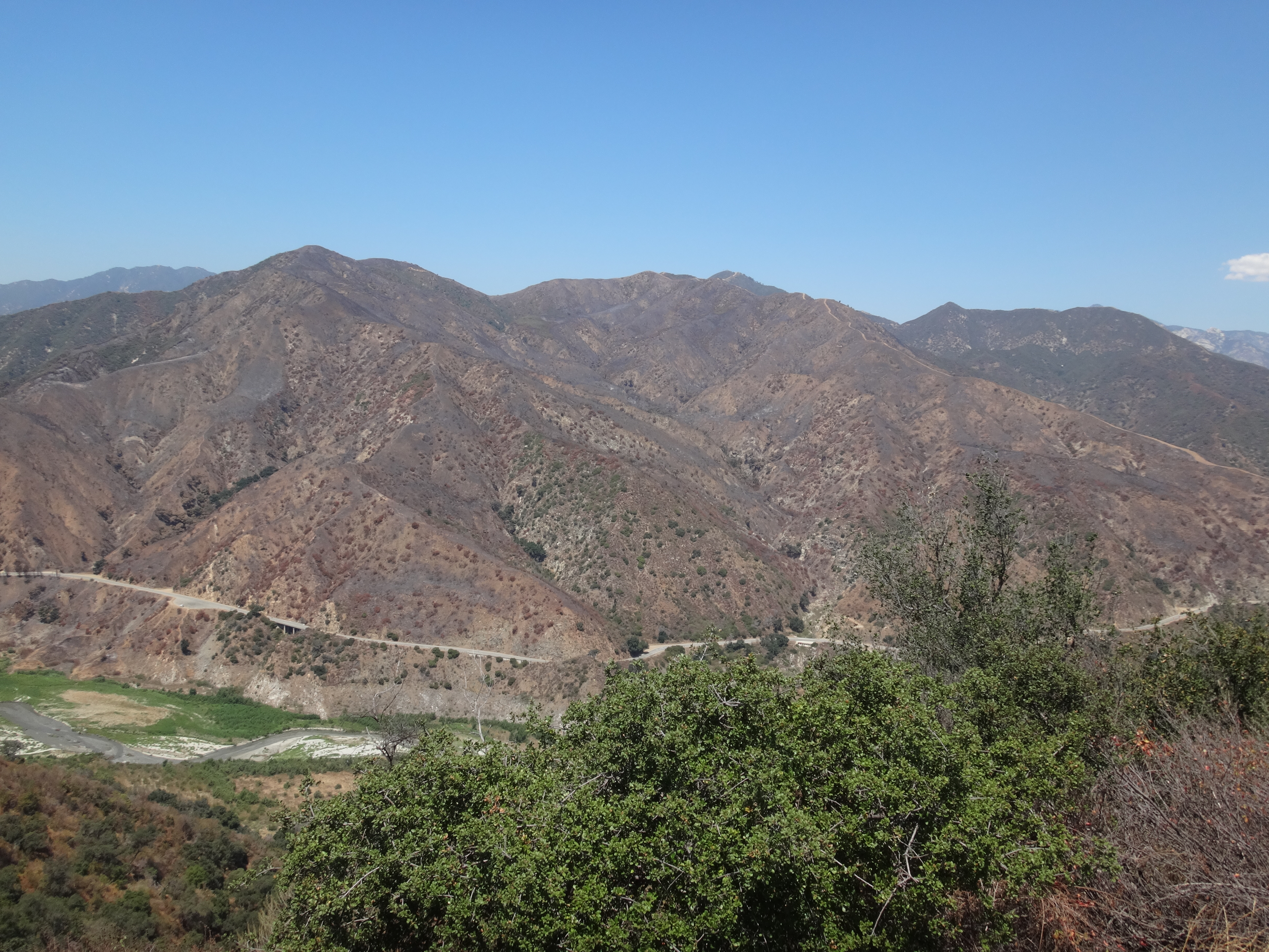
First up was something I'm calling Garcia Point (2040'), which is the small bump at the end of Garcia Road (1N25). This road connects with the Glendora Ridge Motorway (1N26) near Glendora Mountain Road. Of course I've taken GRM several times out to Glendora Peak and Azusa Peak, and I've noticed Garcia Road, very much overgrown and abandoned, heading north and west to Garcia Point, which overlooks Morris Reservoir. Many times I thought, "That might be a fun excursion." Then I would inspect the road more closely and decide, "Maybe some other day."
Well, yesterday was the some-other-day.
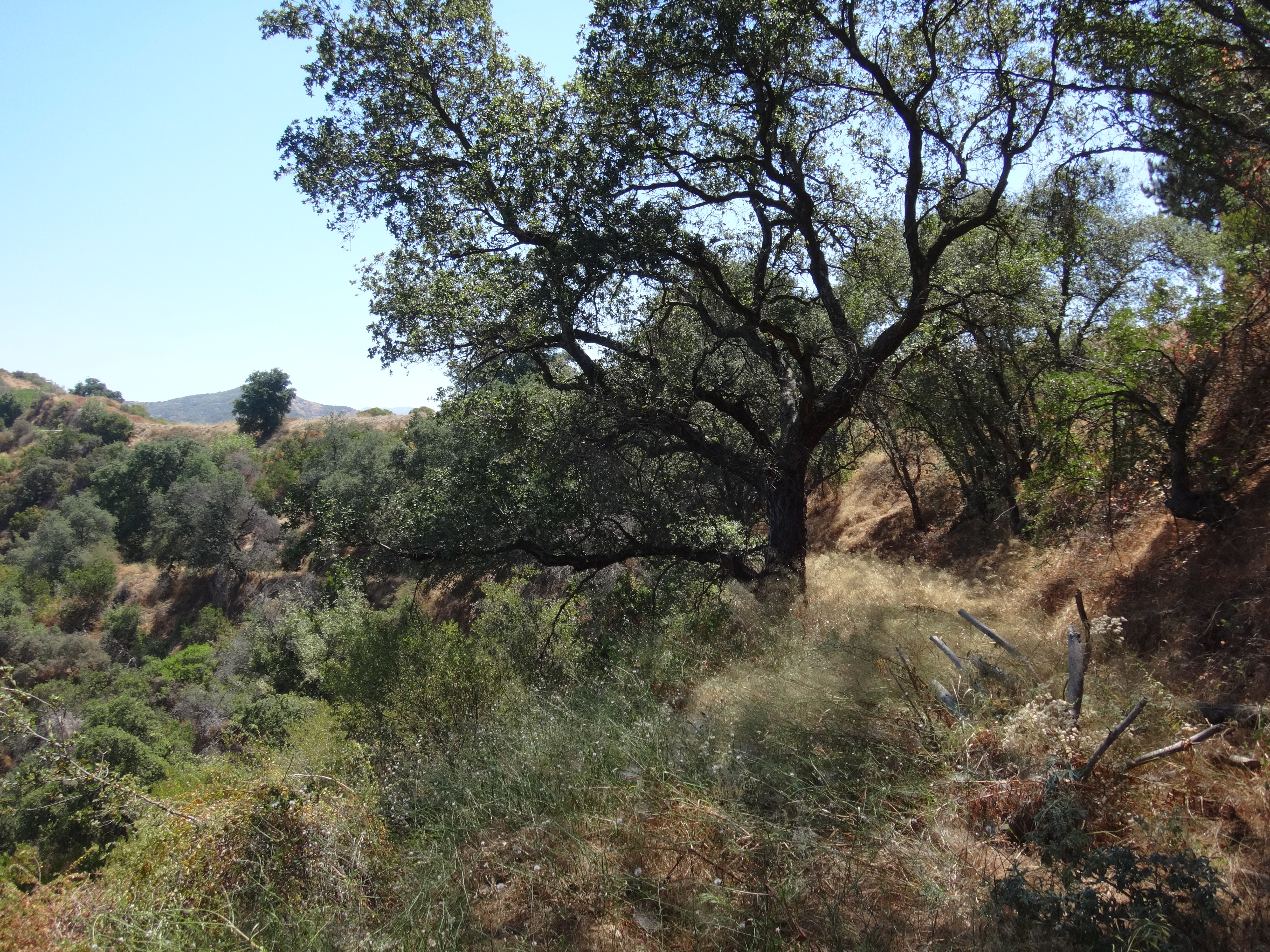
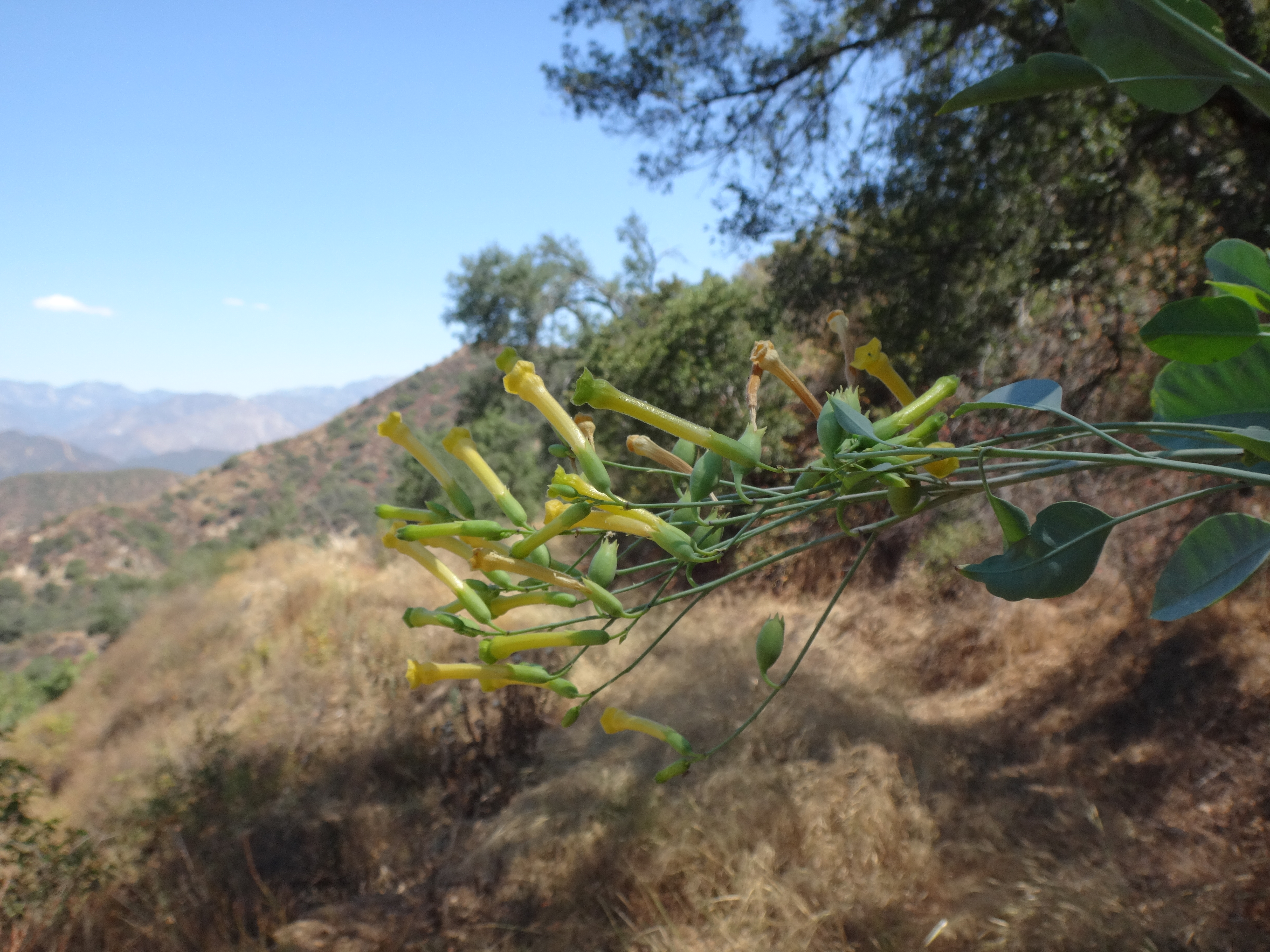
Predictably, the road started off overgrown with knee-high dead grass all around, plus a bunch of garbage tossed in for good measure. But after some distance, most of the garbage subsided, which left me with only the grass and various light bushes, including lots of tobacco plants, with which to contend.
The path went on a little longer than I expected, turning in and out of little gullies, one of which had washed away most of the original road. Then it banked left and began heading west, following the spur ridge out to the Point.
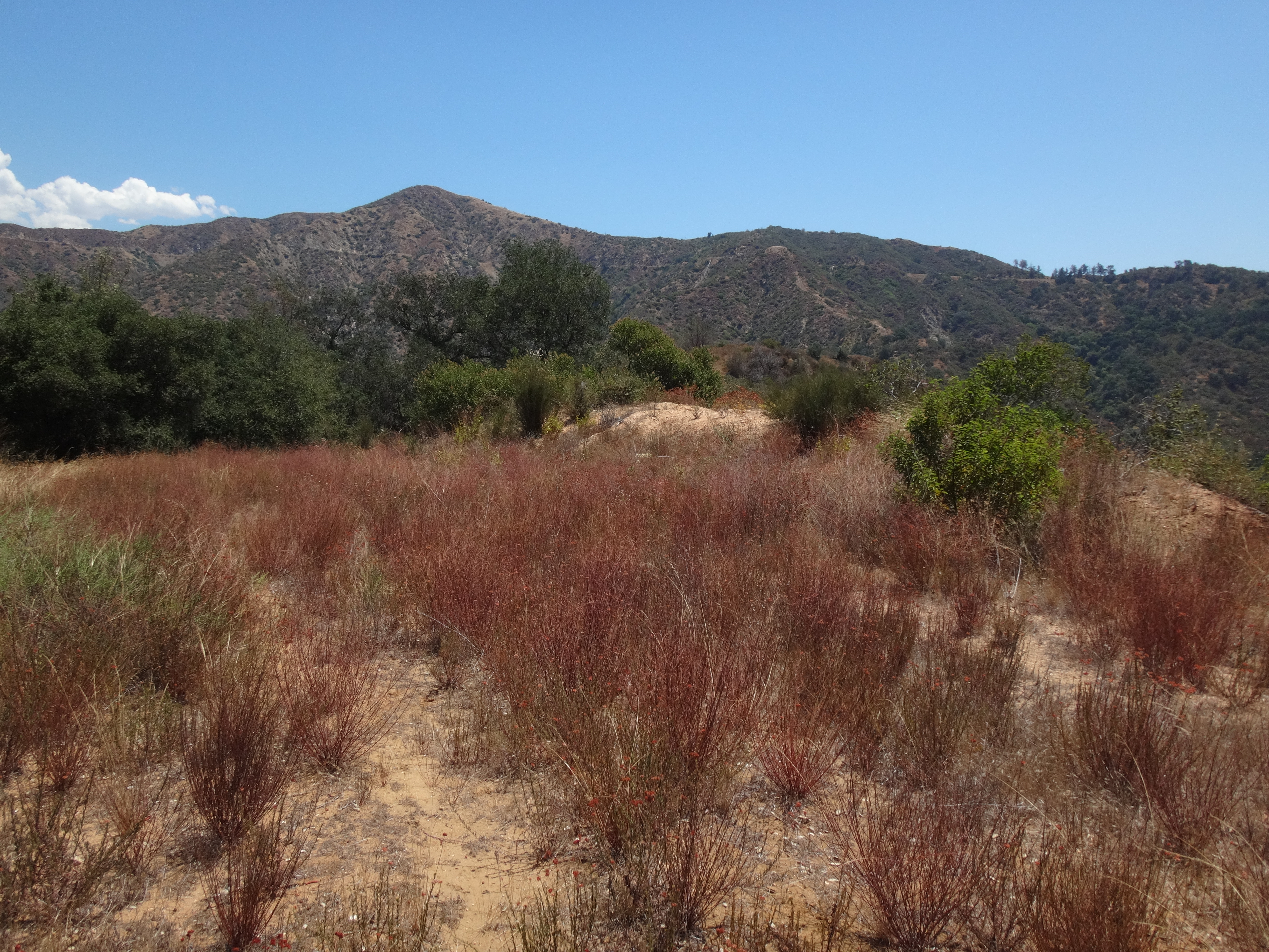
This stretch of the old road bounced a couple times from one side of the ridge to the other. It was very overgrown with light brush and tall grass, some avoidable poison oak, too. Eventually, I reached Garcia Point, basically a large, flat, overgrown area atop a slight rise.
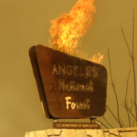
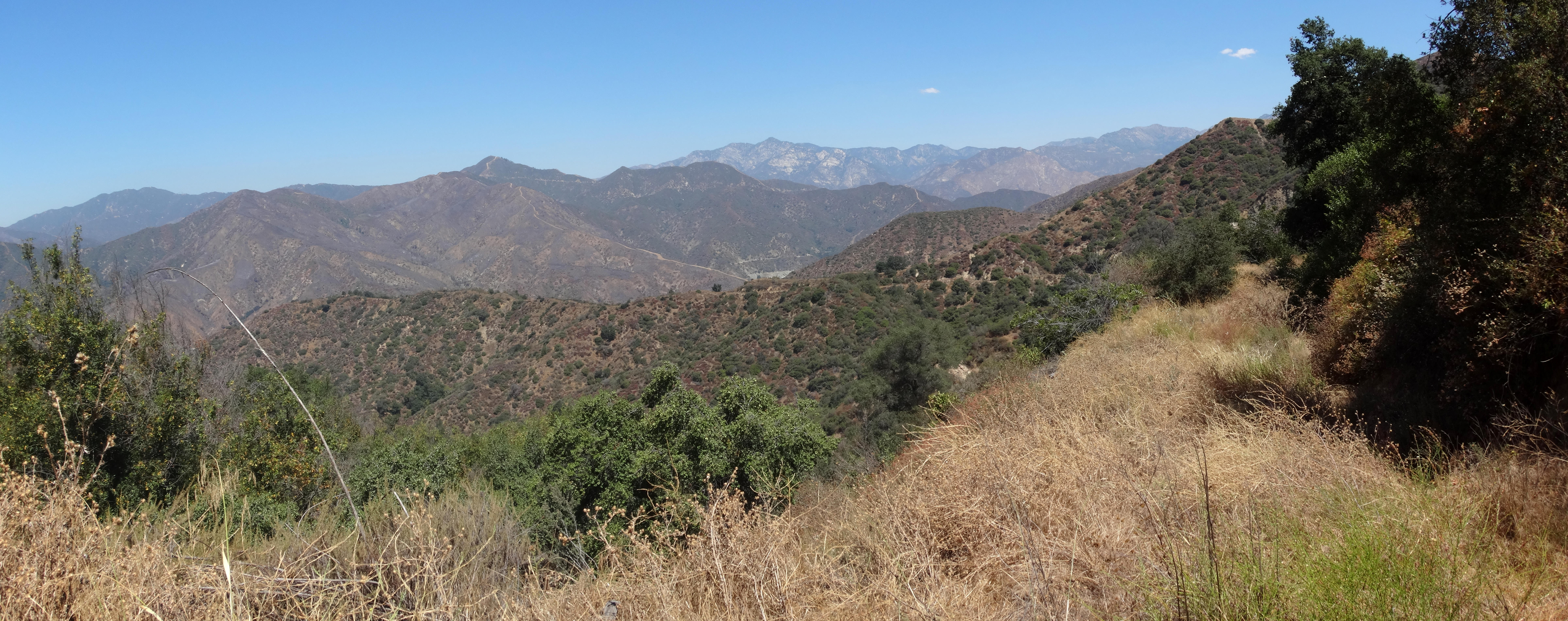
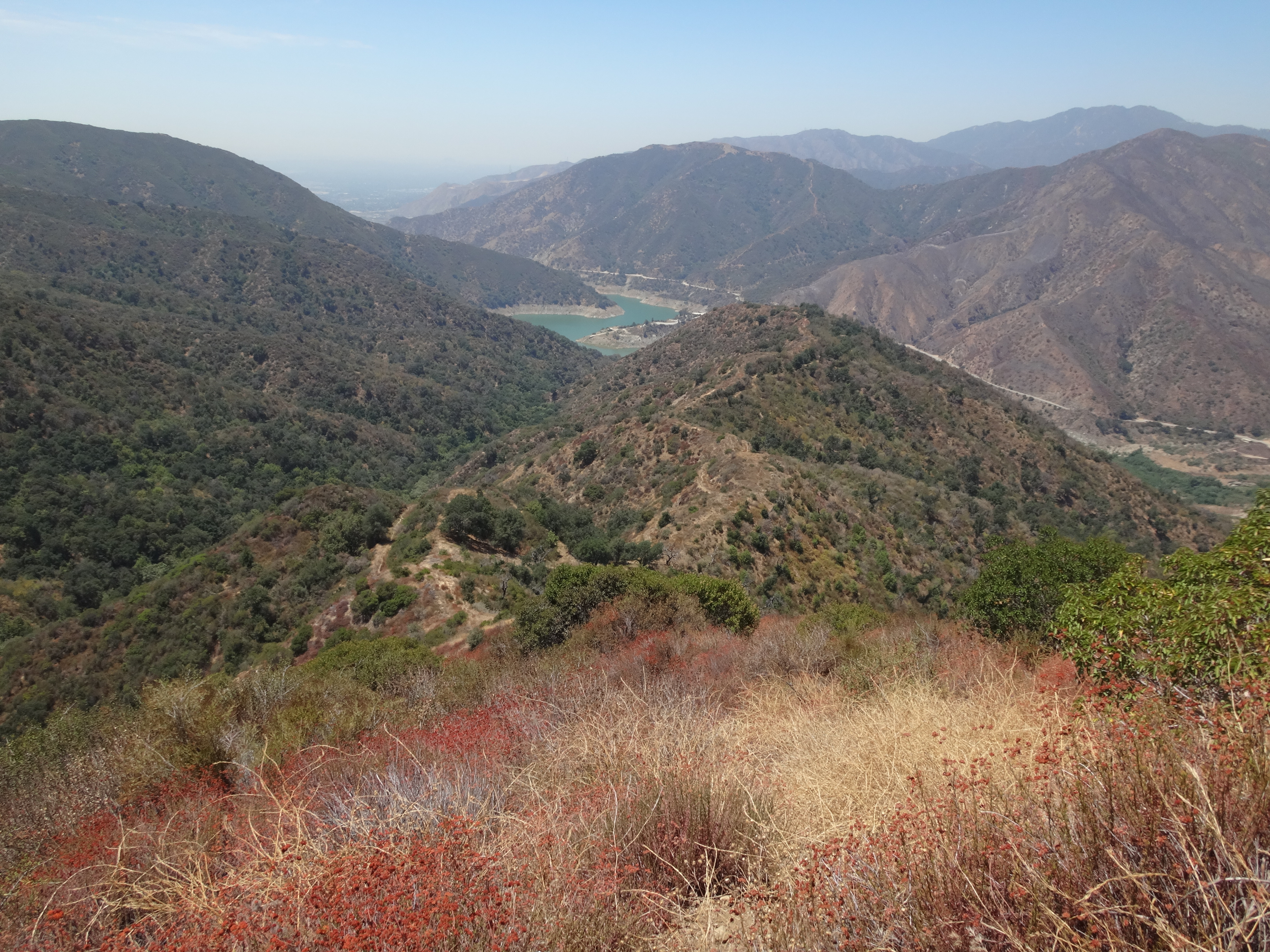
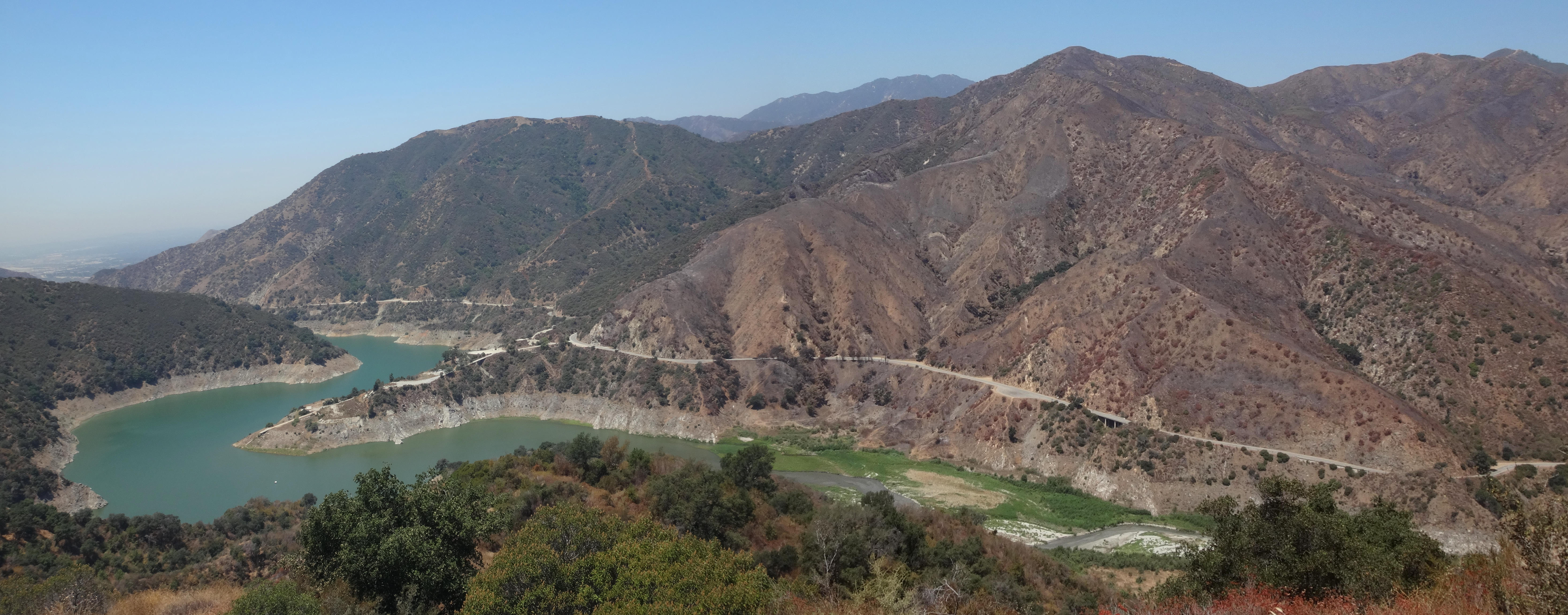
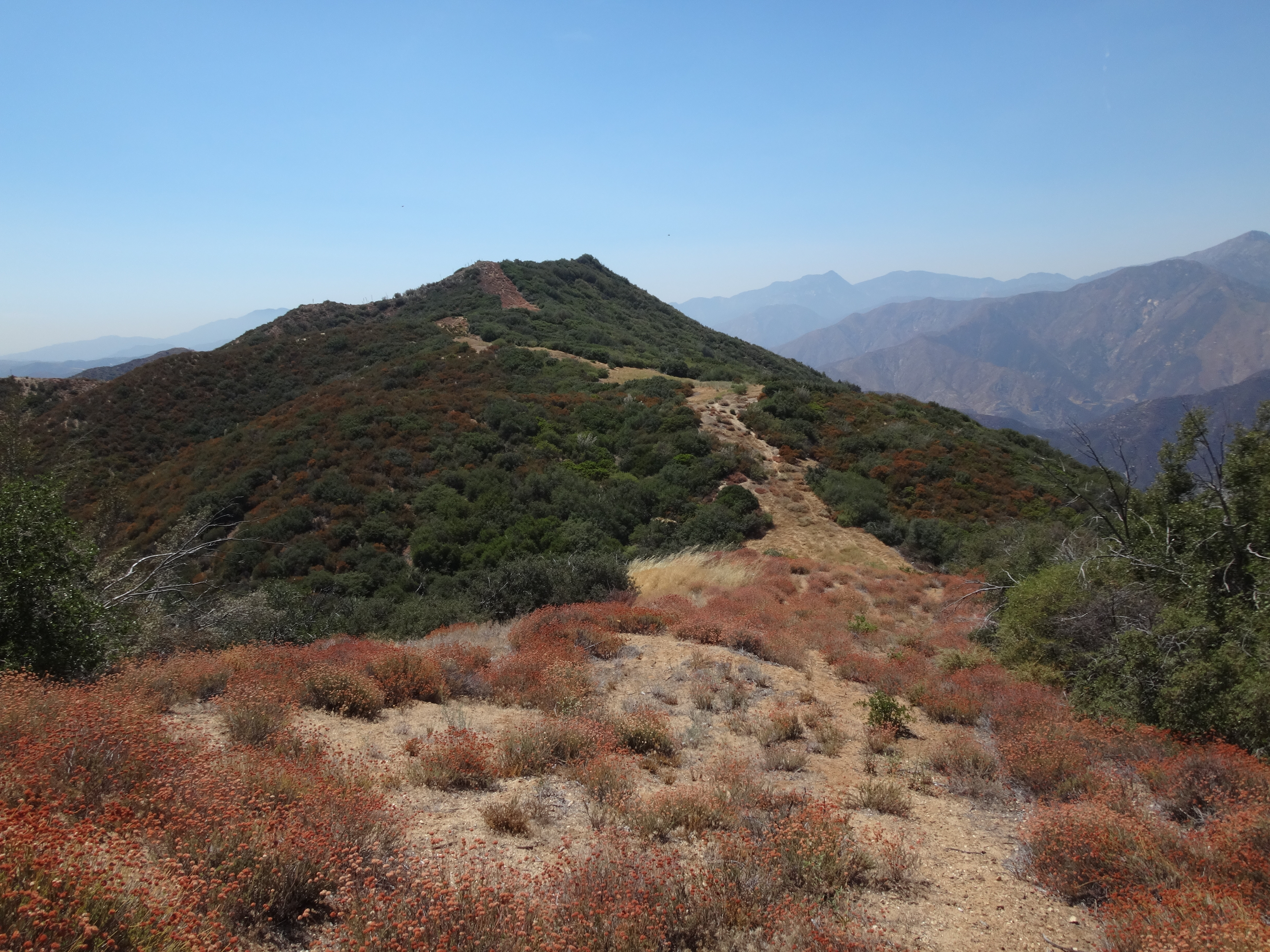
I had come for the views, which were nice. The Point has a perfect angle on the recent Complex Fire burn area in Islip Canyon.
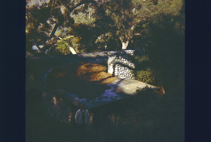
I haven't done any research on this road, so the reason for its existence is still a puzzle to me. It dead-ends at the Point. Maybe there was a cabin or lookout post.
On the way back, rather than follow the fire road again, I instead took the ridgetop, which was slightly less annoying. Then, where the road turns south, I continued up the steep ridge, without much difficulty, directly to GMR.
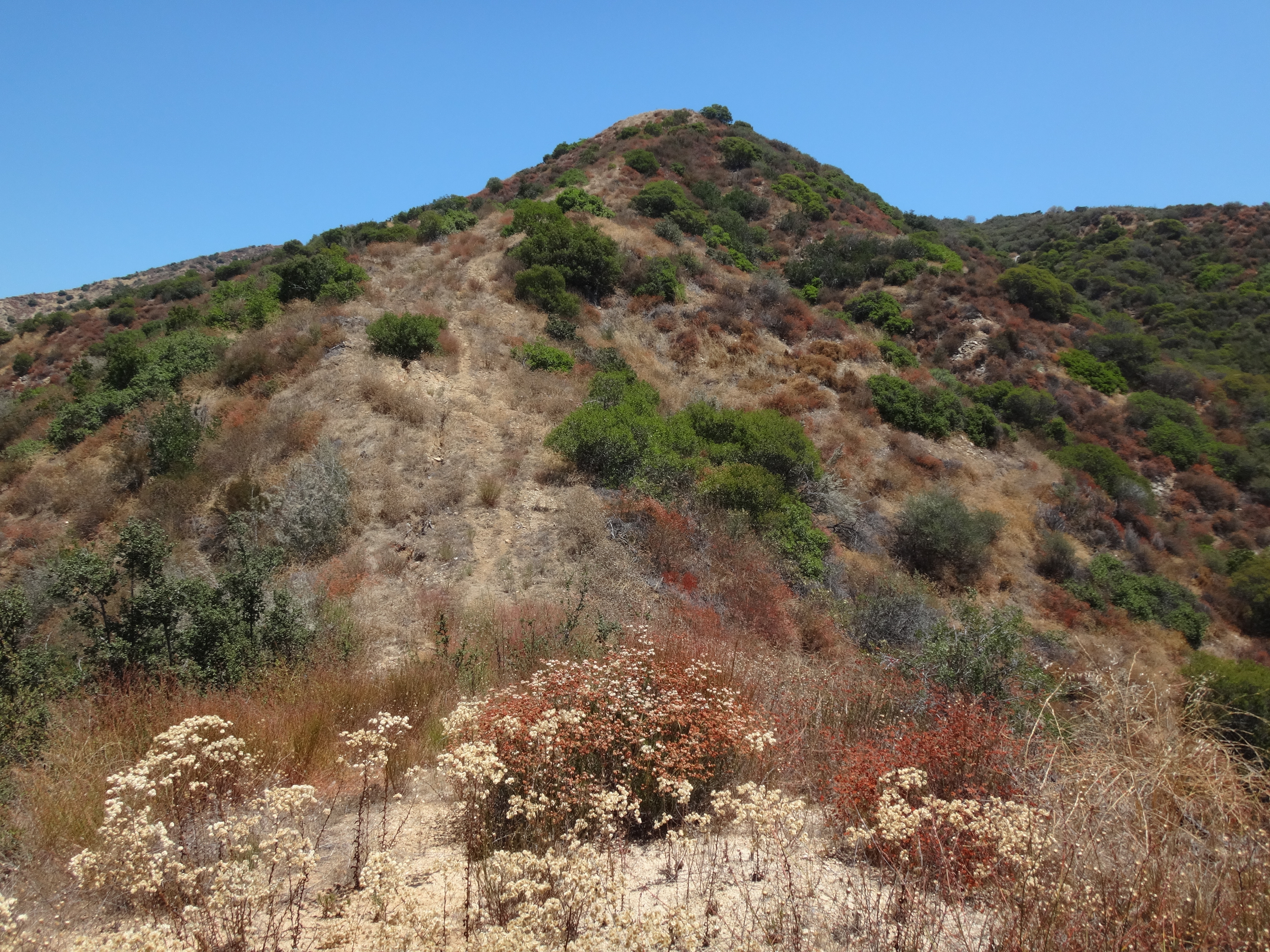
Next up was Horse BM (3530'), off of the Glendora Ridge Road.
After locating the correct turnout and access point, the short ridge proved to be fairly easy with only a little climbing and scrambling around some bushes here and there.
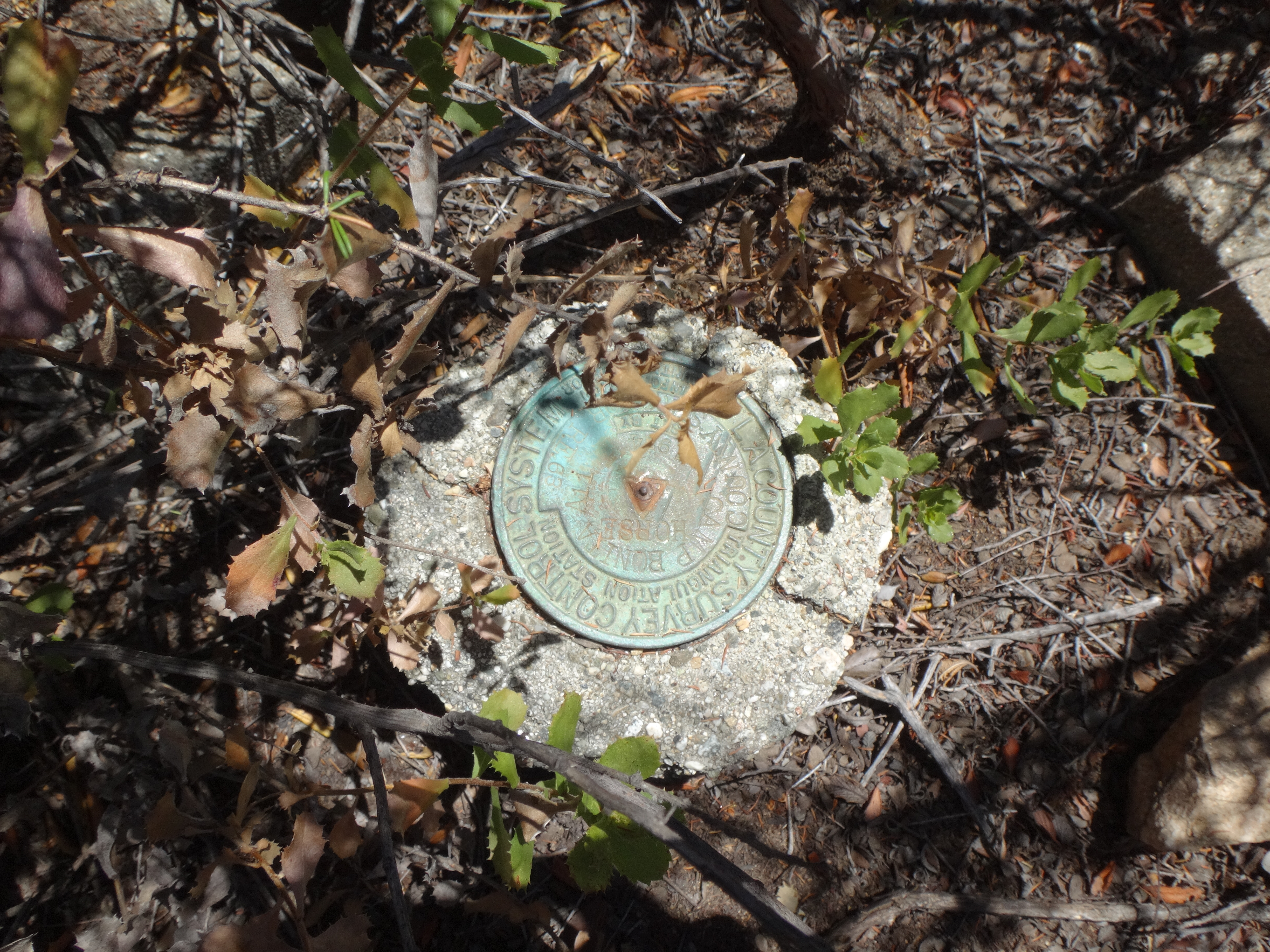
The 1954 benchmark was located at the highpoint of the ridge, partially concealed by tall bushes.
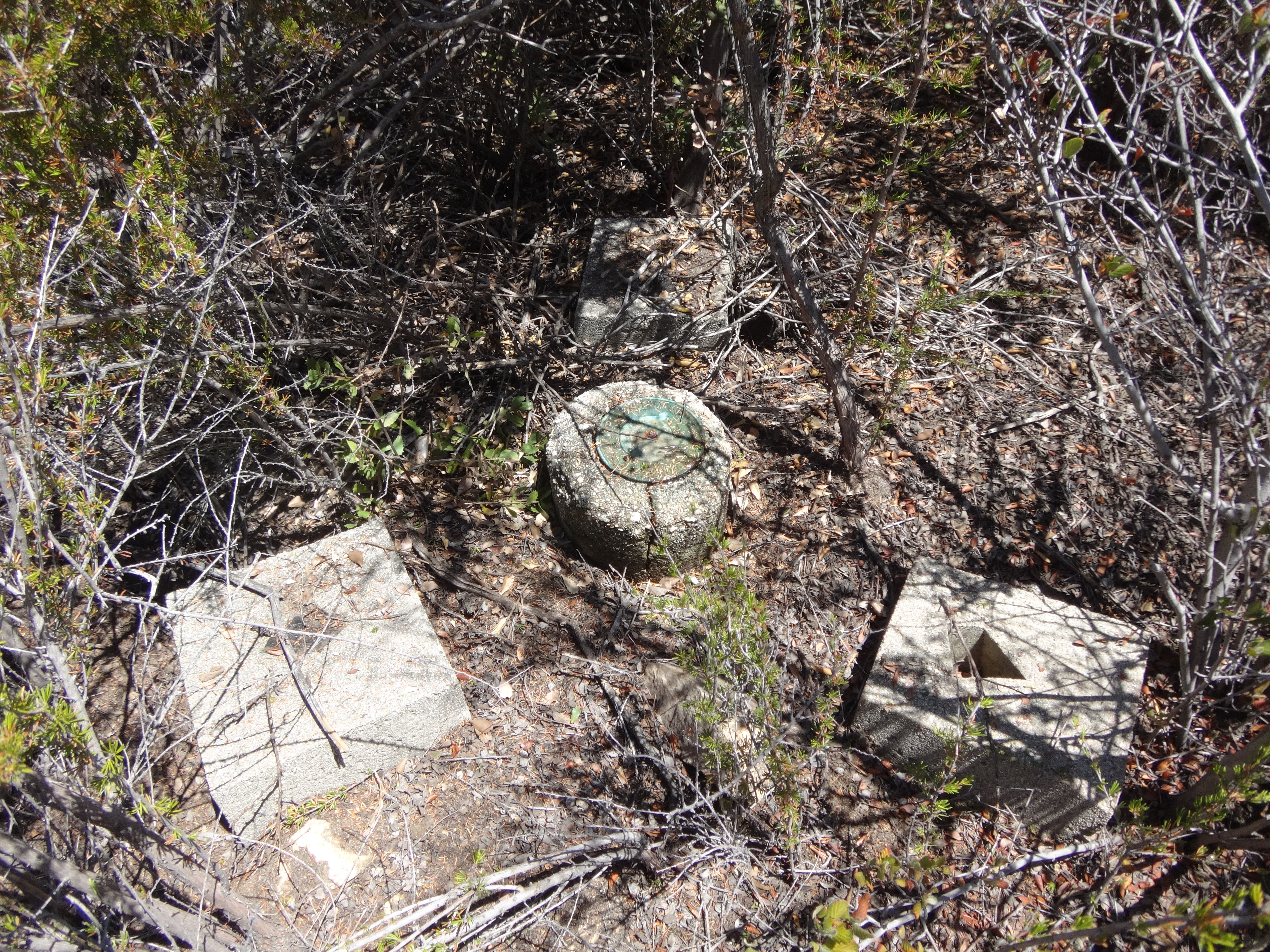
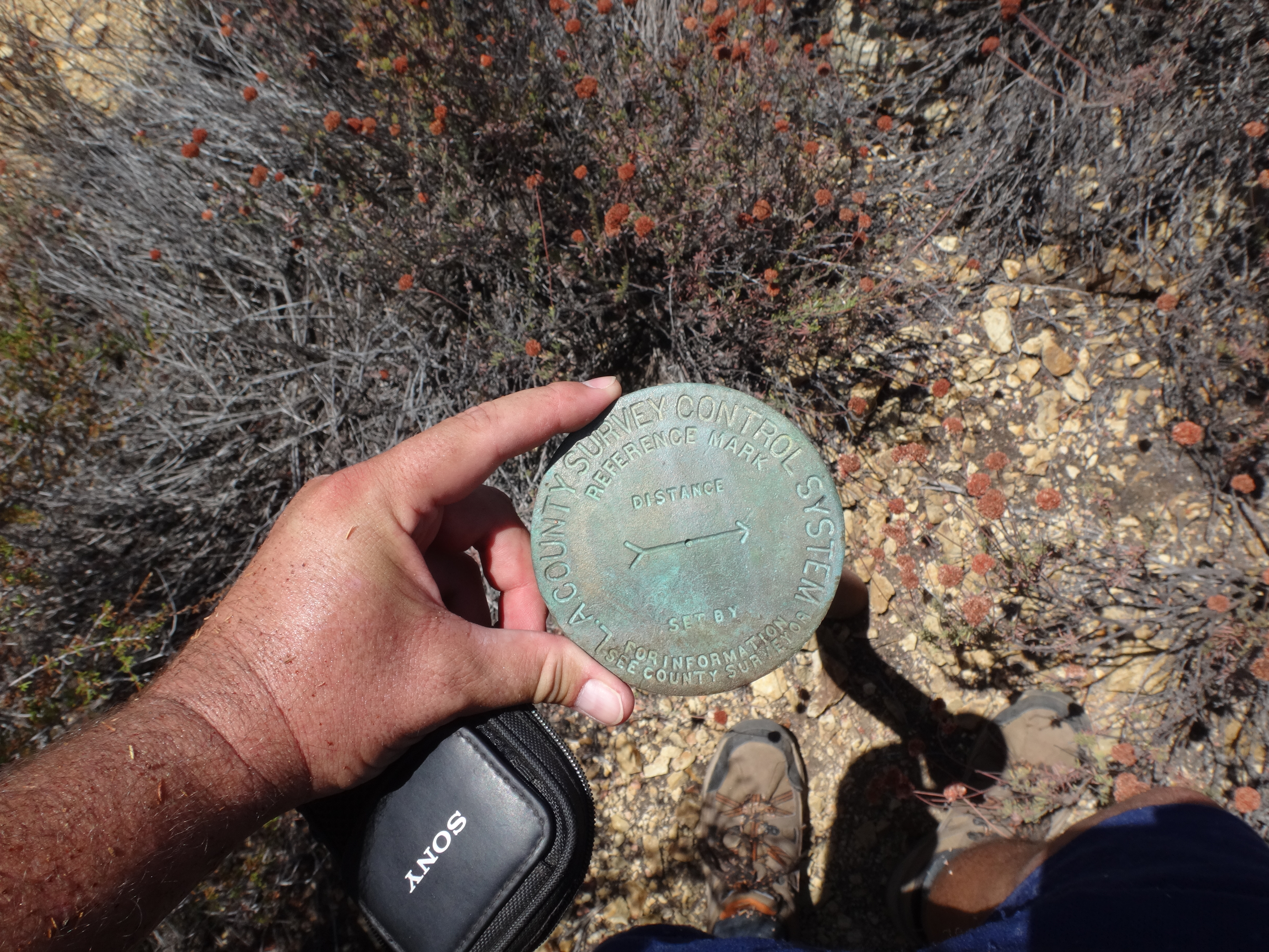
Also discovered were two generic, county reference marks, one of which, affixed to a length of metal pipe, had come out of the ground.
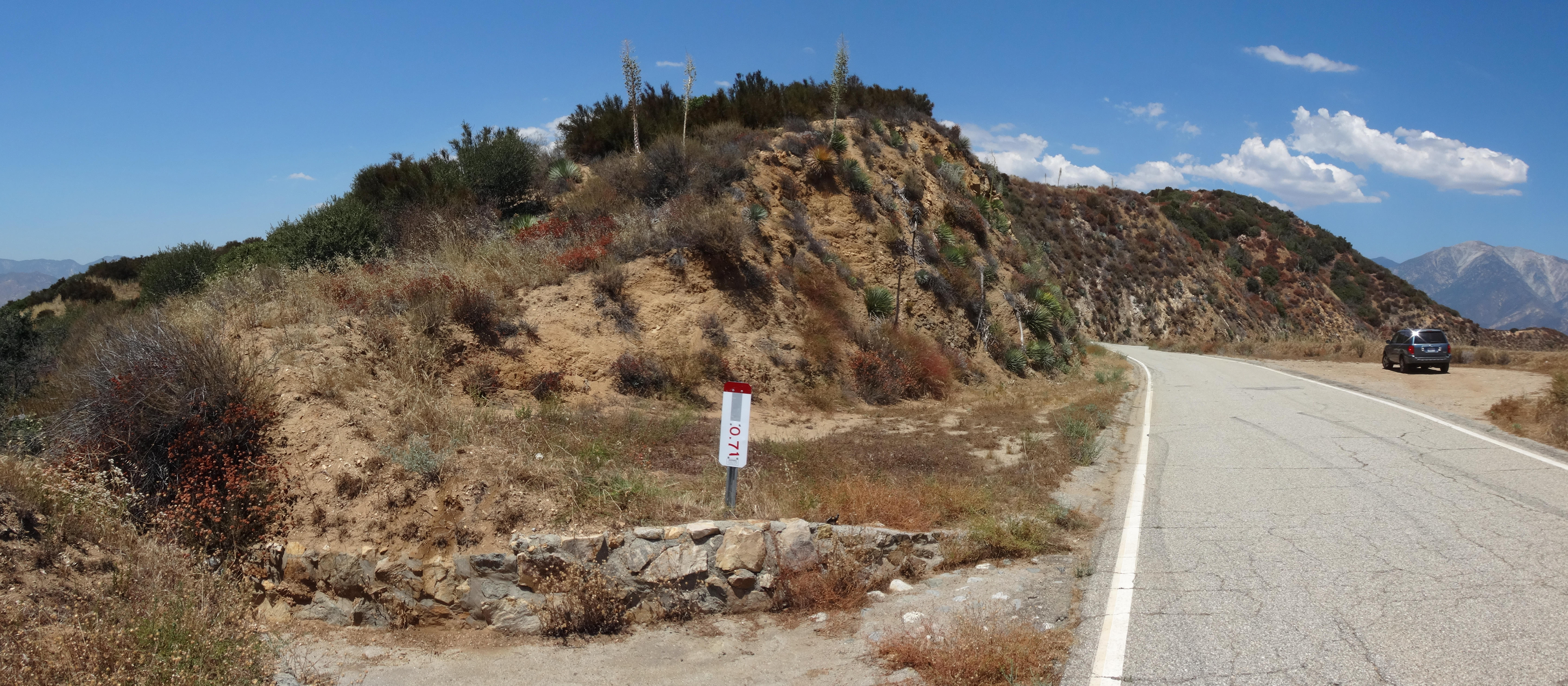
My third and final POI of the day was Dora BM (4547'), another little something that I found on a USGS topo map from 1995.
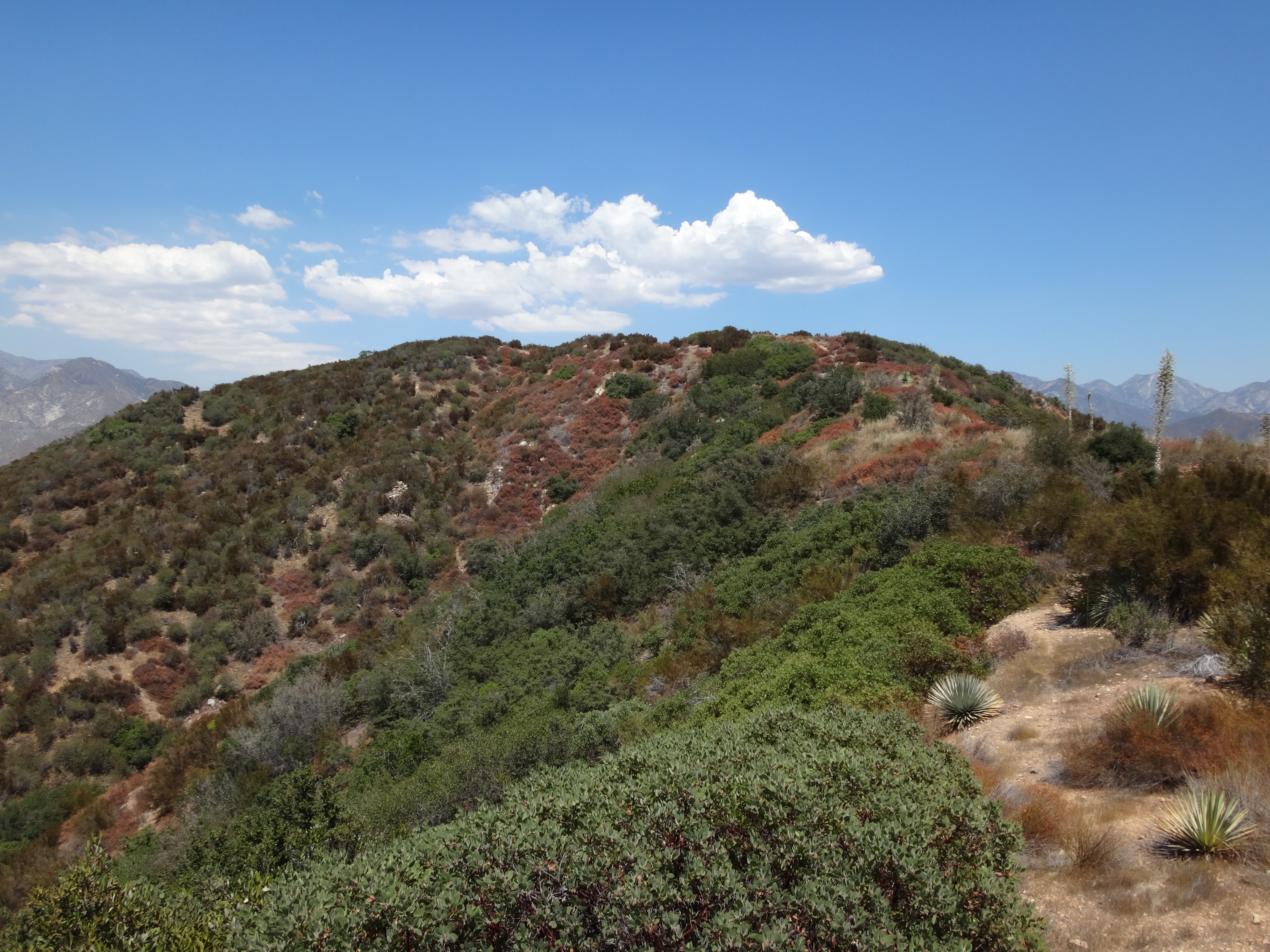
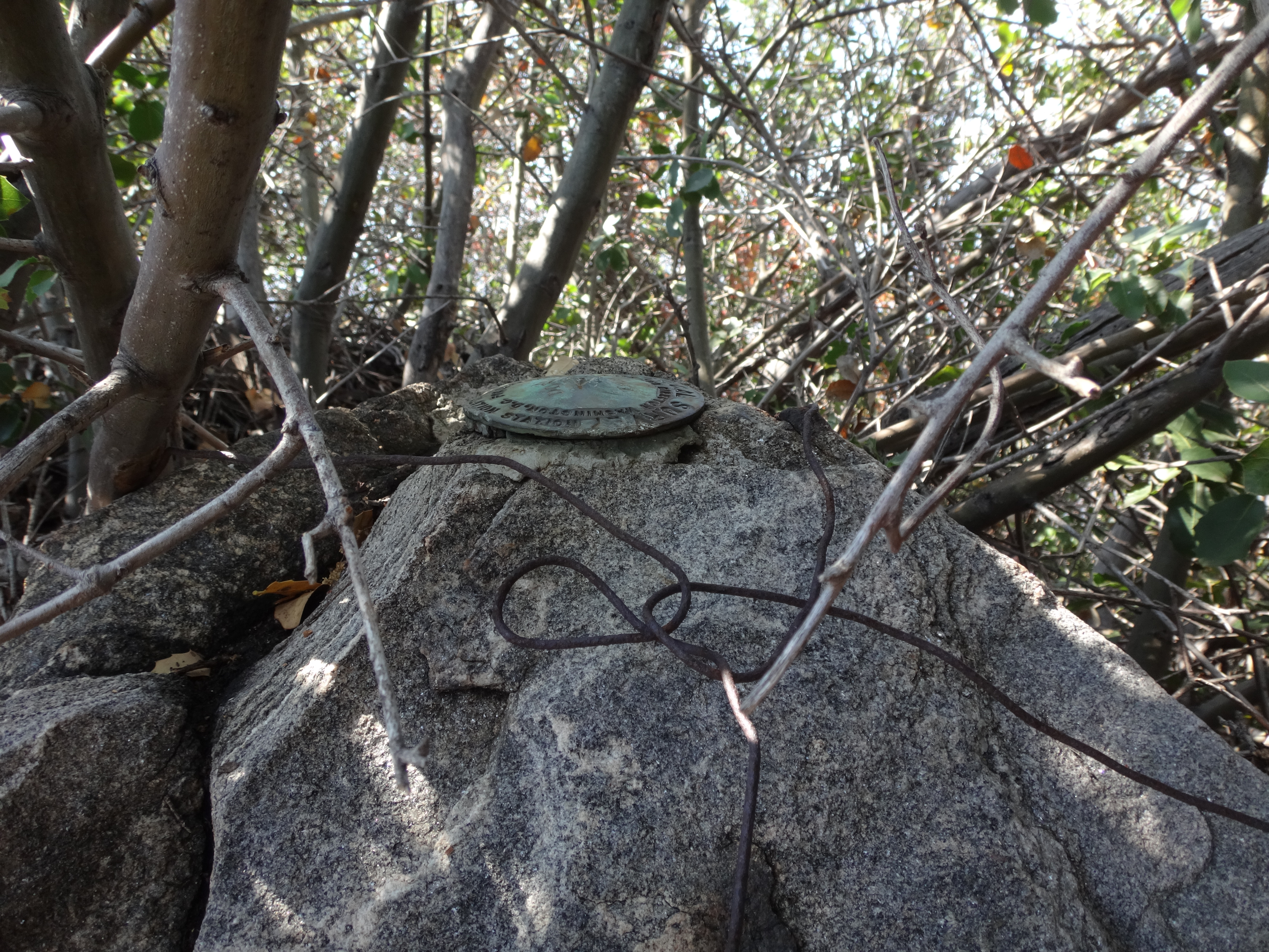
Near MM 7.78 along Glendora Ridge Road, I parked at the turnout for the western approach road (2N07.1) to Sunset Peak. Half of the turnout was blocked by large boulders. Opposite from the gated 2N07.1 road, a use path led up to the rolling, roadside ridge, heading west.
While going up and down a couple times on the slightly grassy, old firebreak, I noticed a couple spots at the saddles where the mile-long roundtrip might be shortened even further by obscure access points from the highway. Soon enough, though, I reached the area of the benchmark and started examining a boulder pile marked by one of those triangular metal signs.

"How nice of them to pinpoint the location with this sign," I cheerfully told myself. Unfortunately, my joy turned to frustration as I couldn't find a mark anywhere. I even overturned some rocks, looking for a mark hidden underneath. No luck.
I decided to walk a little further to another point at about the same height. But that area obviously had nothing. Not even a boulder pile. Though it did offer some shade which I used to take a break from the hot sun and eat lunch.
Afterward, I returned to the original spot and made a more determined effort. The actual highpoint was overgrown with thick bushes. A rodent had built a large nest over some of the topmost boulders. So I reached in as far as I could this time and used a rock to scrape away the old nest and get a better look. Still no luck.
Then I happened to glance down again at the boulder I was standing upon. Something caught my eye. It was a very small metal disc fixed somehow to the rock's surface. It was no larger than a nickel or maybe a quarter.
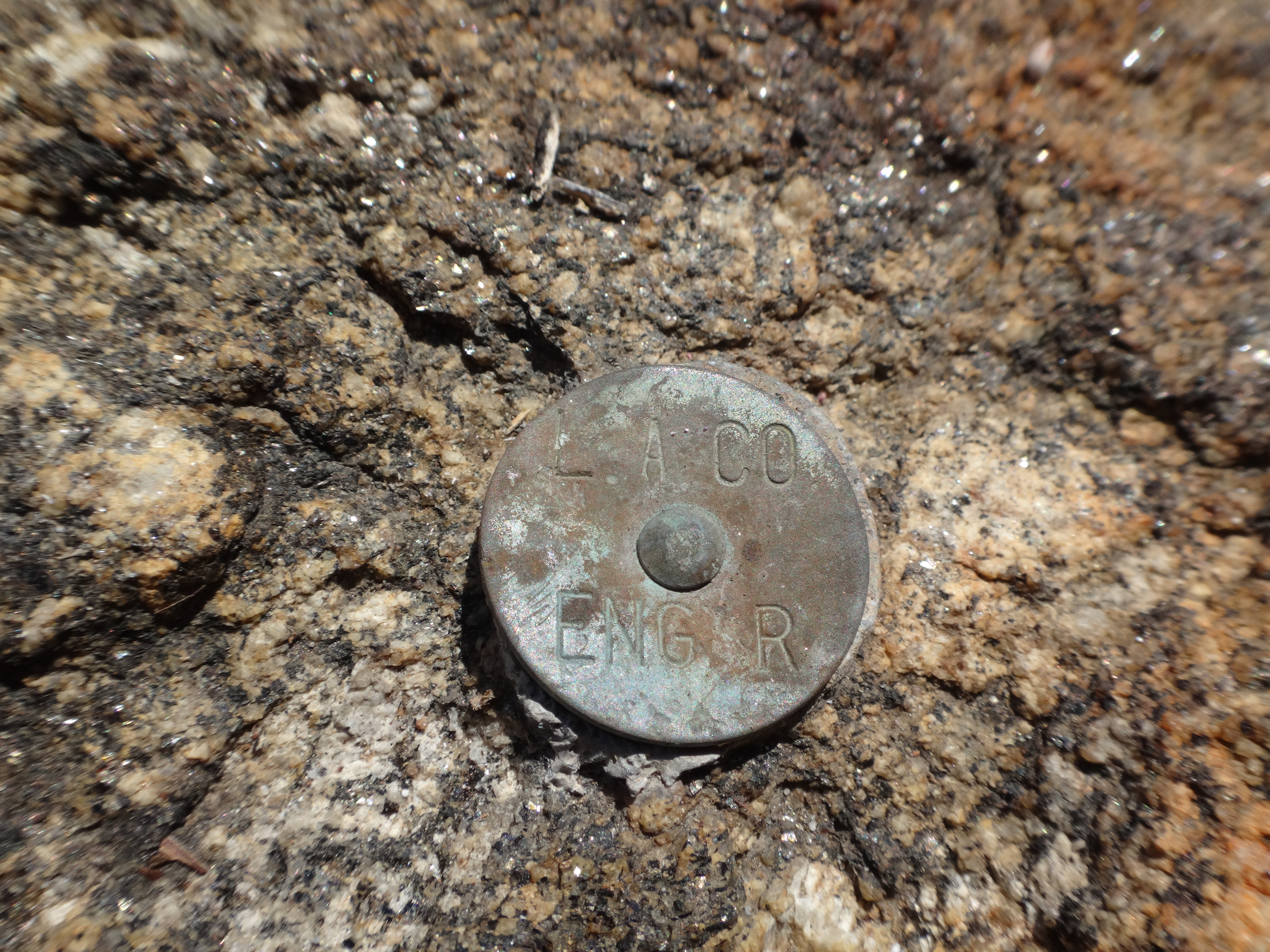
All along I had been looking for the larger, standard disc, and had therefore overlooked this tiny one in the initial search.
Not satisfied, though, I continued pushing my head into the brush, looking for a standard one. A few unreachable boulders sat several feet into the thicket of branches. They were partially covered by leaves and dirt. I spent some time staring at them, wondering if one particular spot was a dirt-filled disc. Still a little unsure, I started extricating my head from the bush when, "HELLO!", my eyes focused on a standard disc not two inches from the tip of my nose.
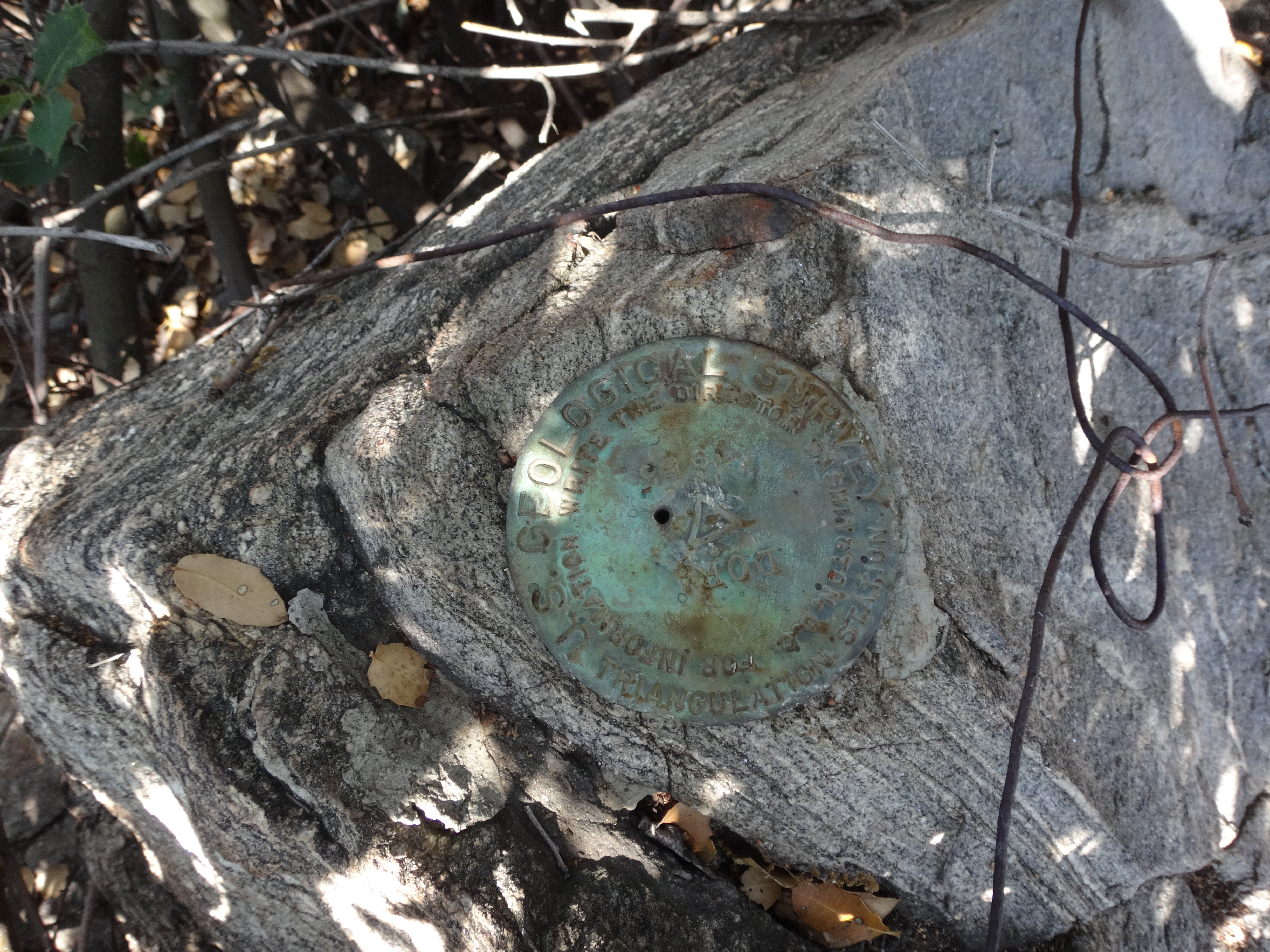
The damn thing had been under my chin the whole time.
So went the search for Dora BM.