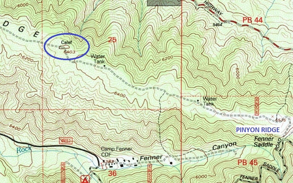
First up was Big John BM. This is a highpoint (6033') along the desert-facing ridge above Big John Flat Rd. However, I decided to approach it instead from Ball Flat Rd to the south. From Big Pines Hwy the turnoff for Ball Flat Rd is clearly signed. The road is paved only for a short distance to the county public works depot.
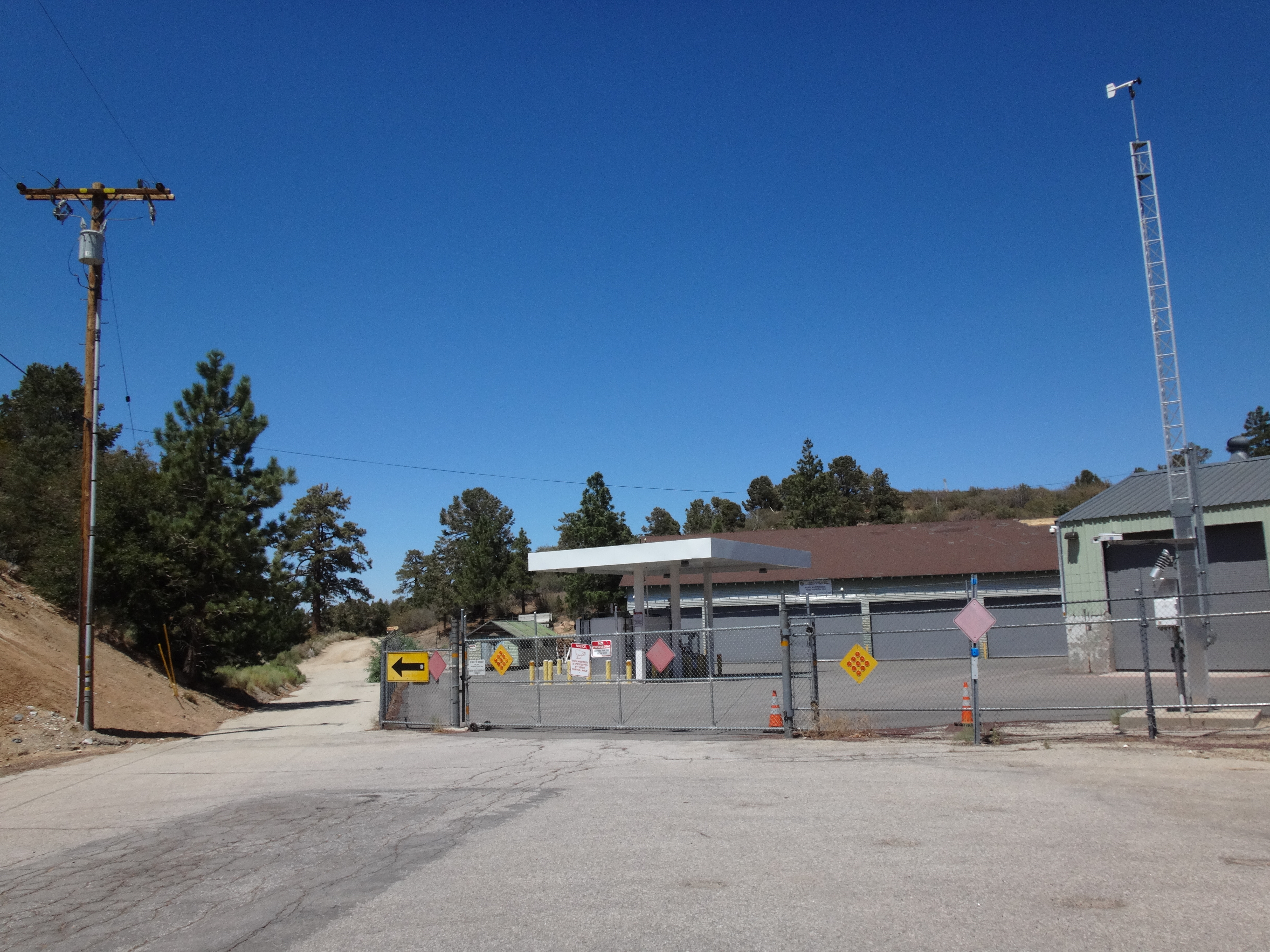
A dirt road continues past the structure on the left. I drove the road up to where it does a one-eighty (6200') en route down to Ball Flat. I parked near here because the ridge road (4N07 on maps) continuing northward appeared too hairy for me and my Honda Pilot. In fact, I almost got stuck turning around in the loose sand and had to place rocks under my tire to get out. There is some sort of sign at the beginning of this ridge road.
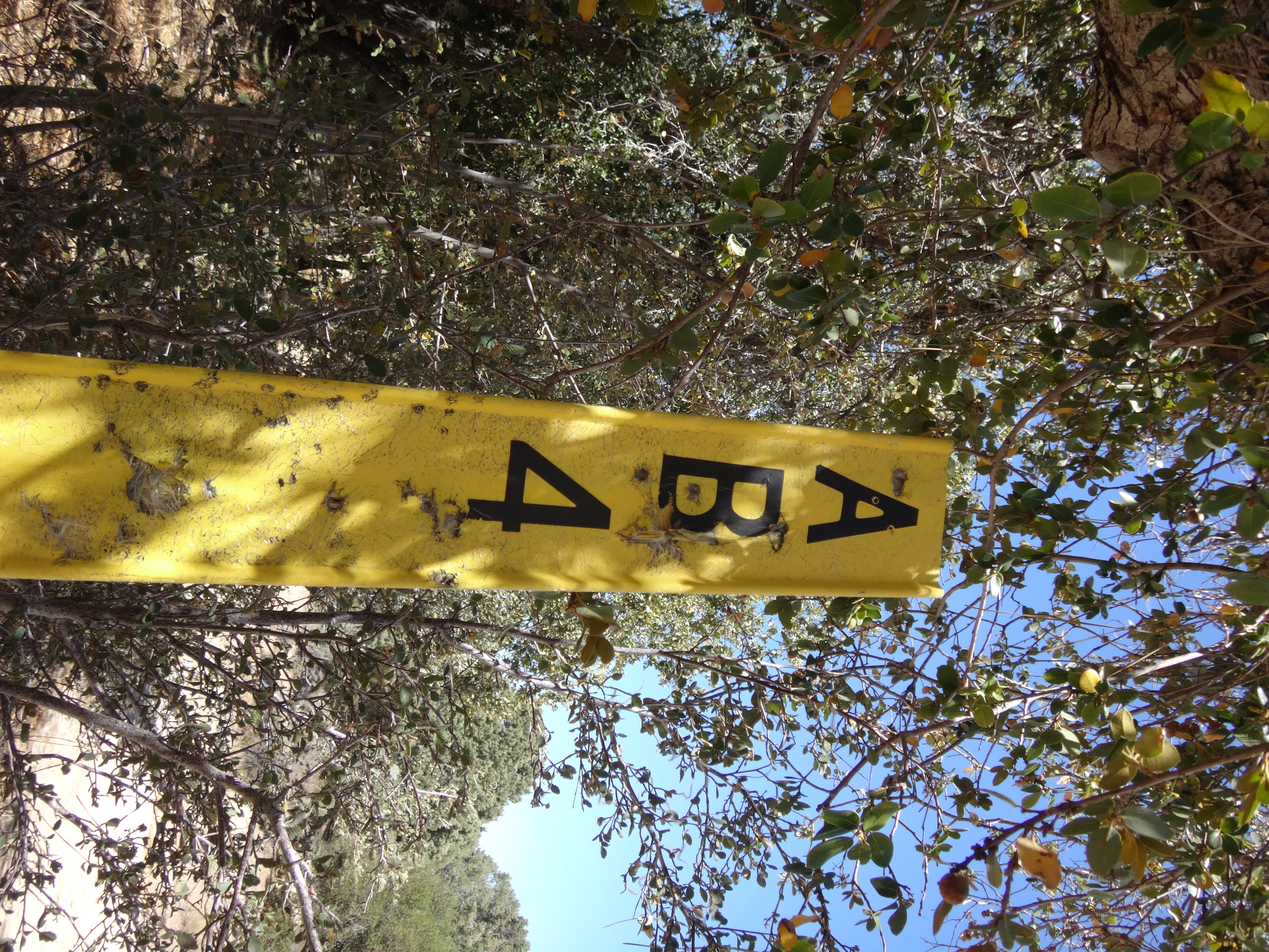
Maybe it's one of those firebreak designations. They are all over the Big Pines area.
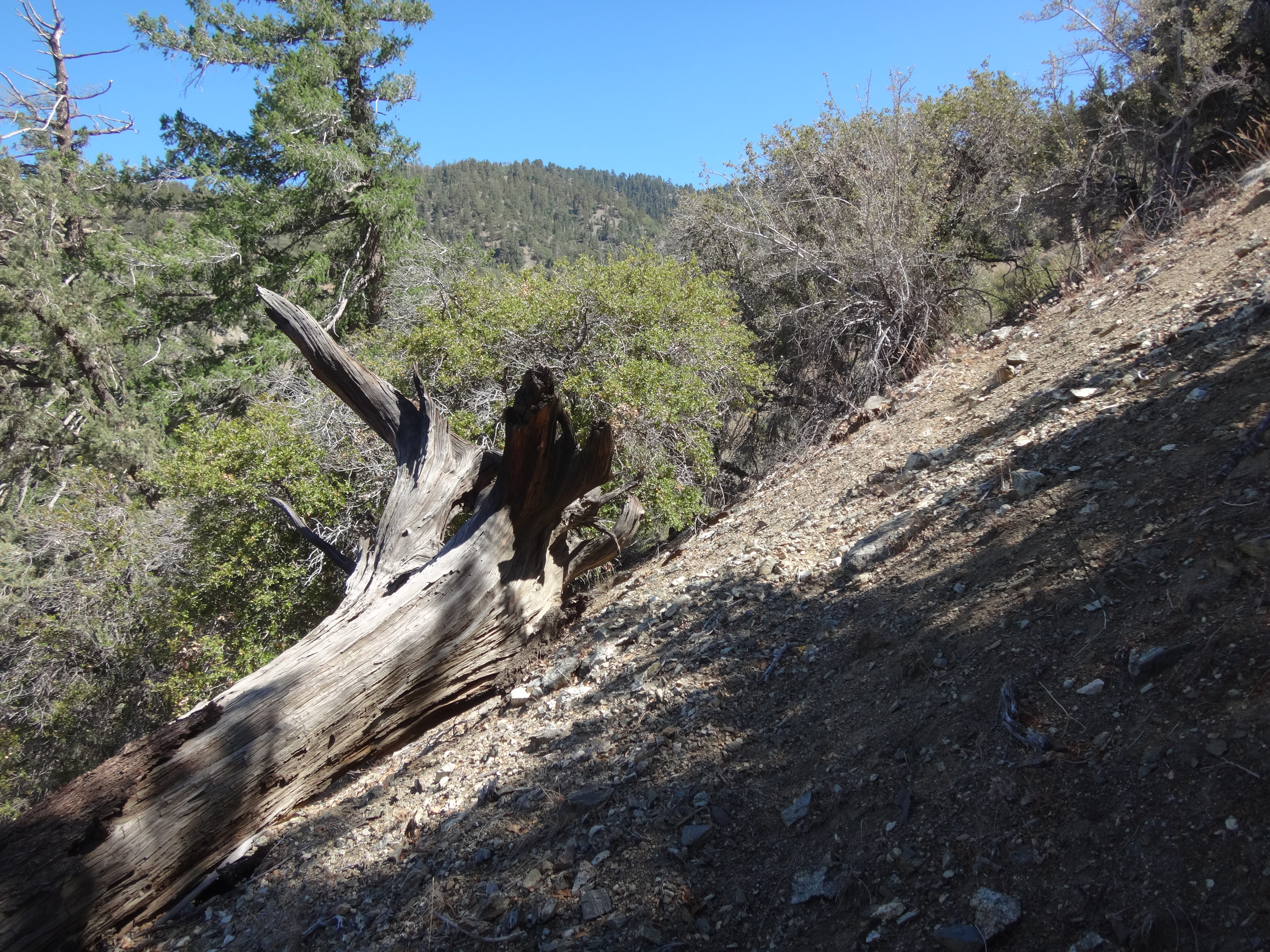
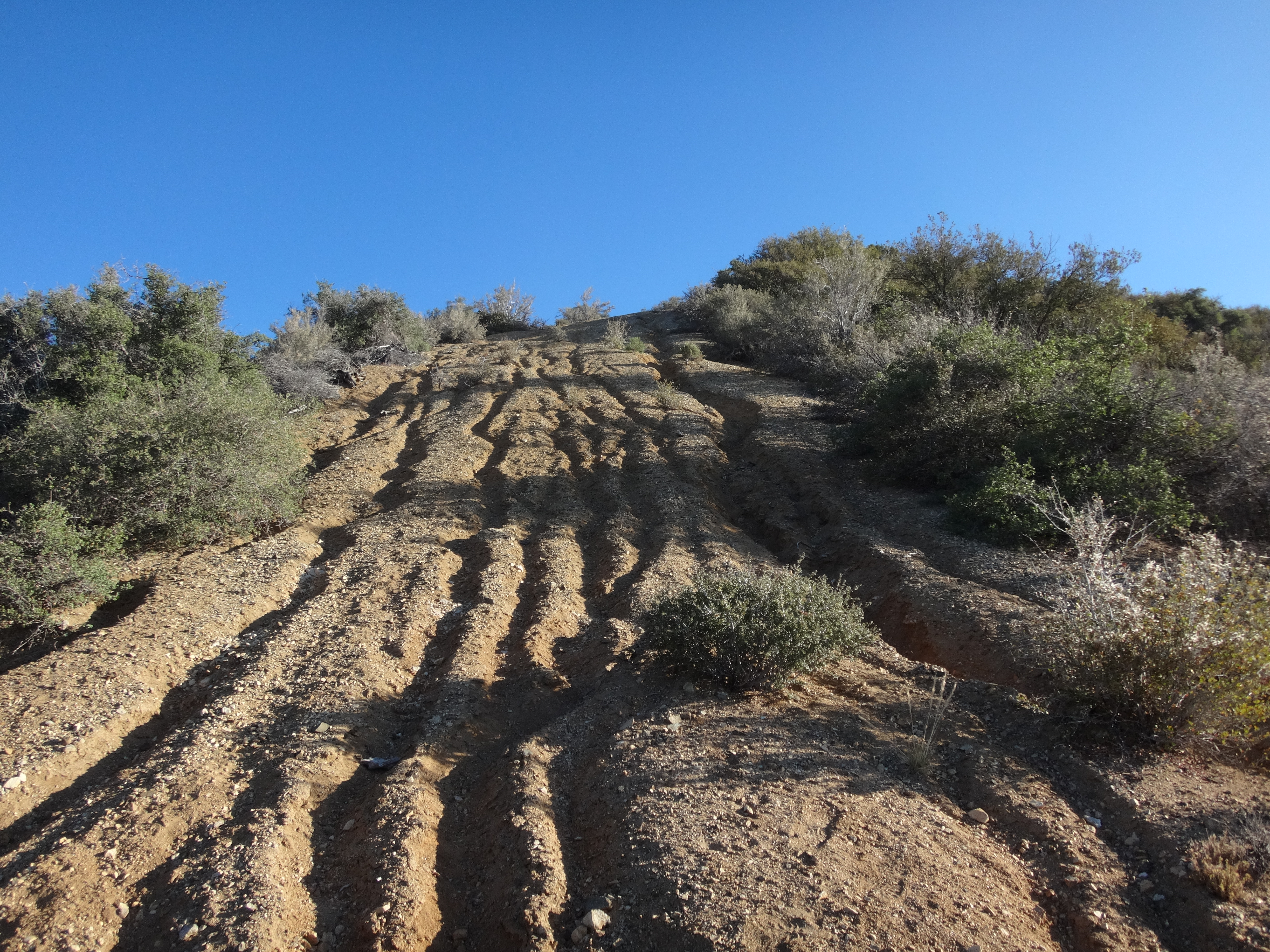
Anyway it was only a 1.5-mile road walk (with 400' of gain) to the peak. Some sections of the road are steep and rutted out.
The weather was a bit hot, but I enjoyed all the small pine trees along the ridge. It was nice to have shade readily available.
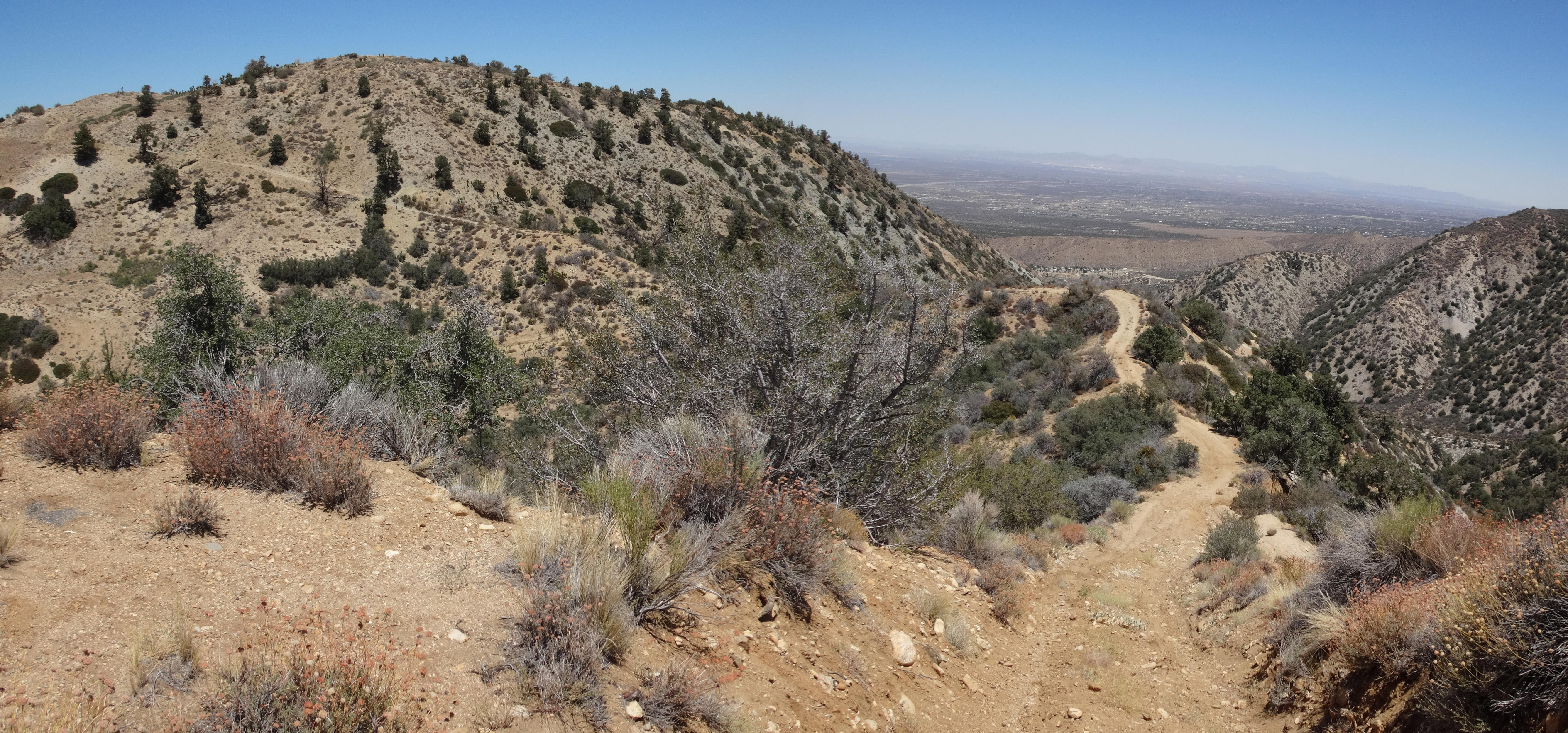
(The road snakes and rollercoasters along the tree-speckled ridge.)
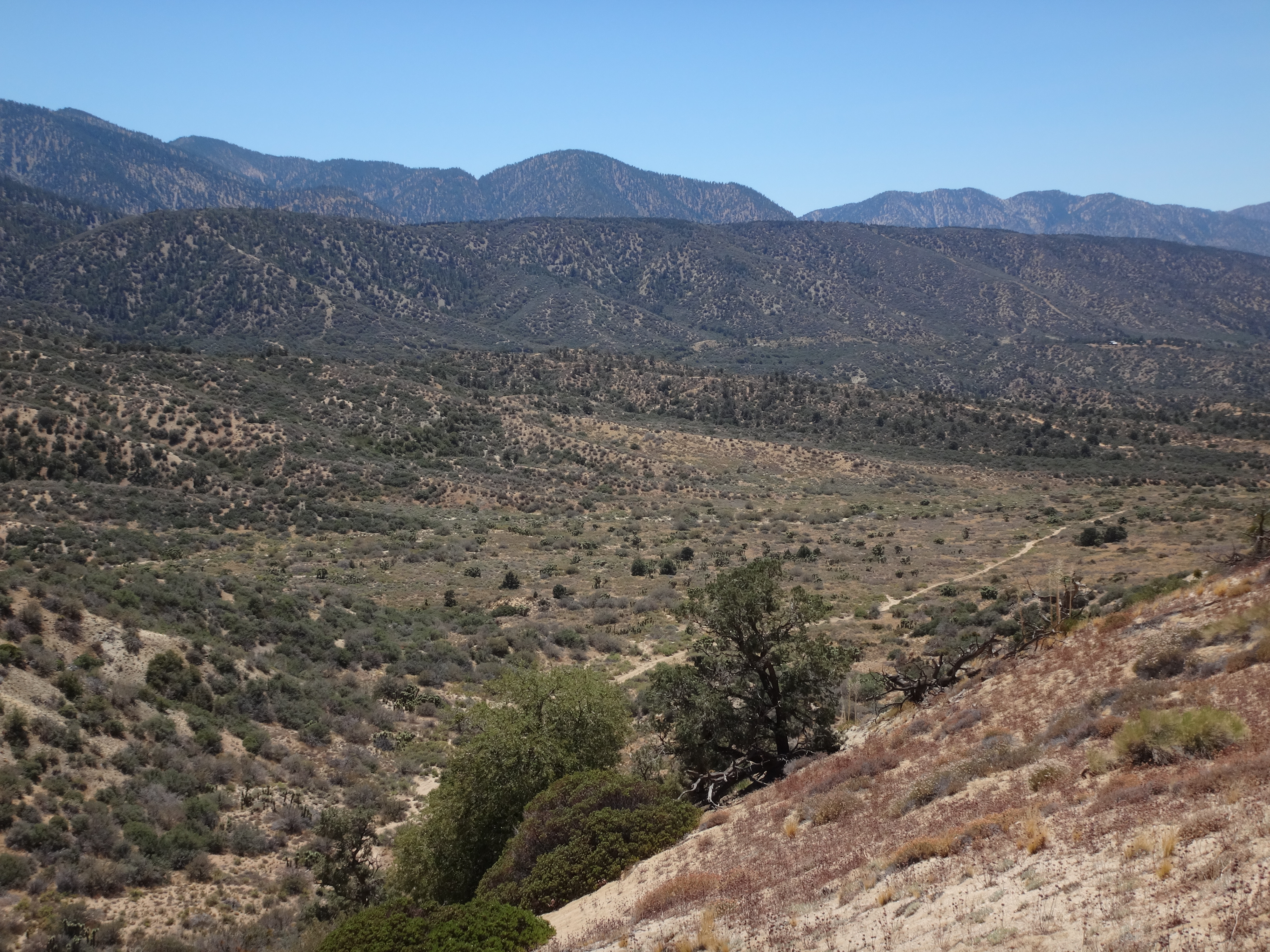
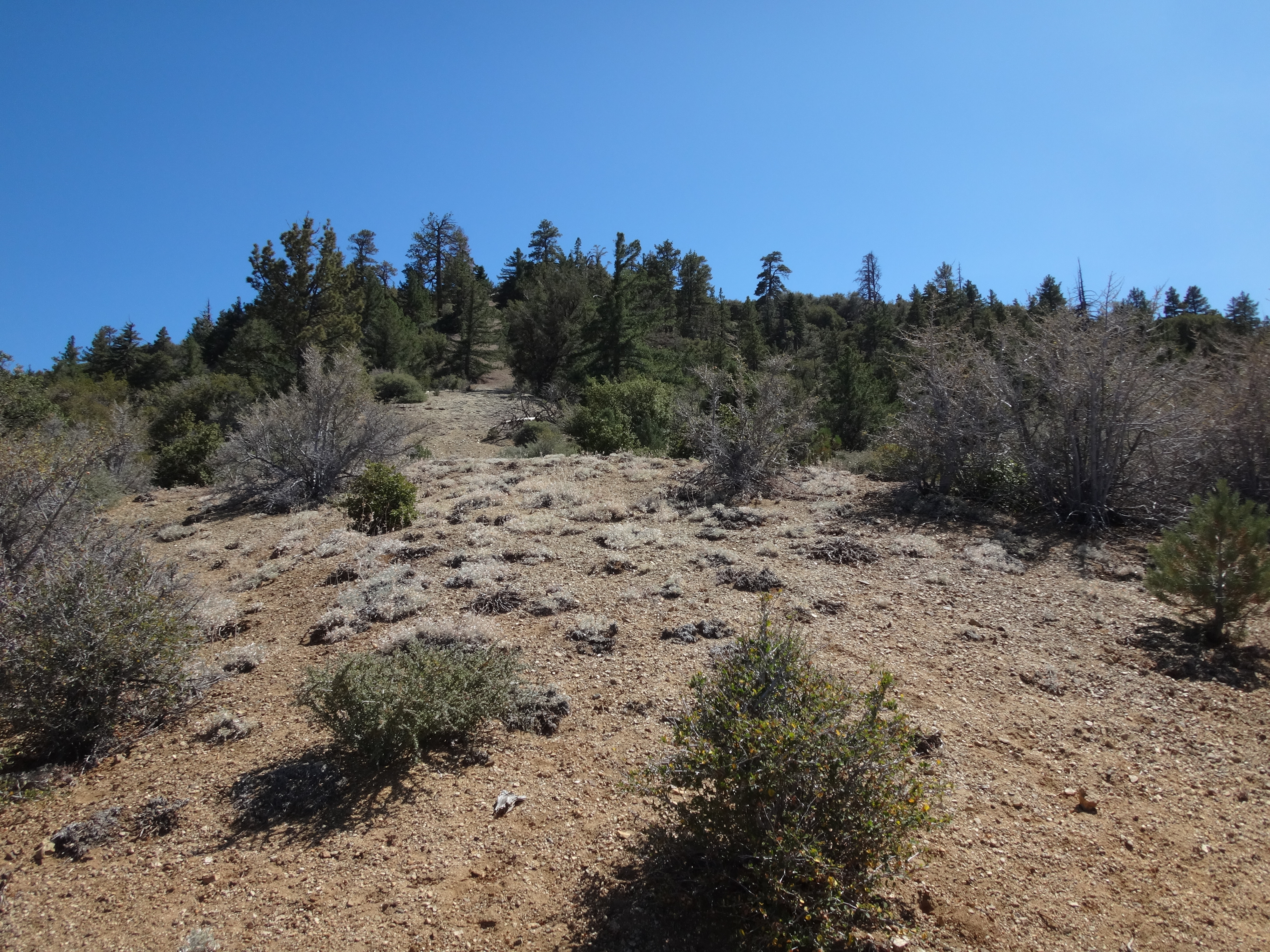
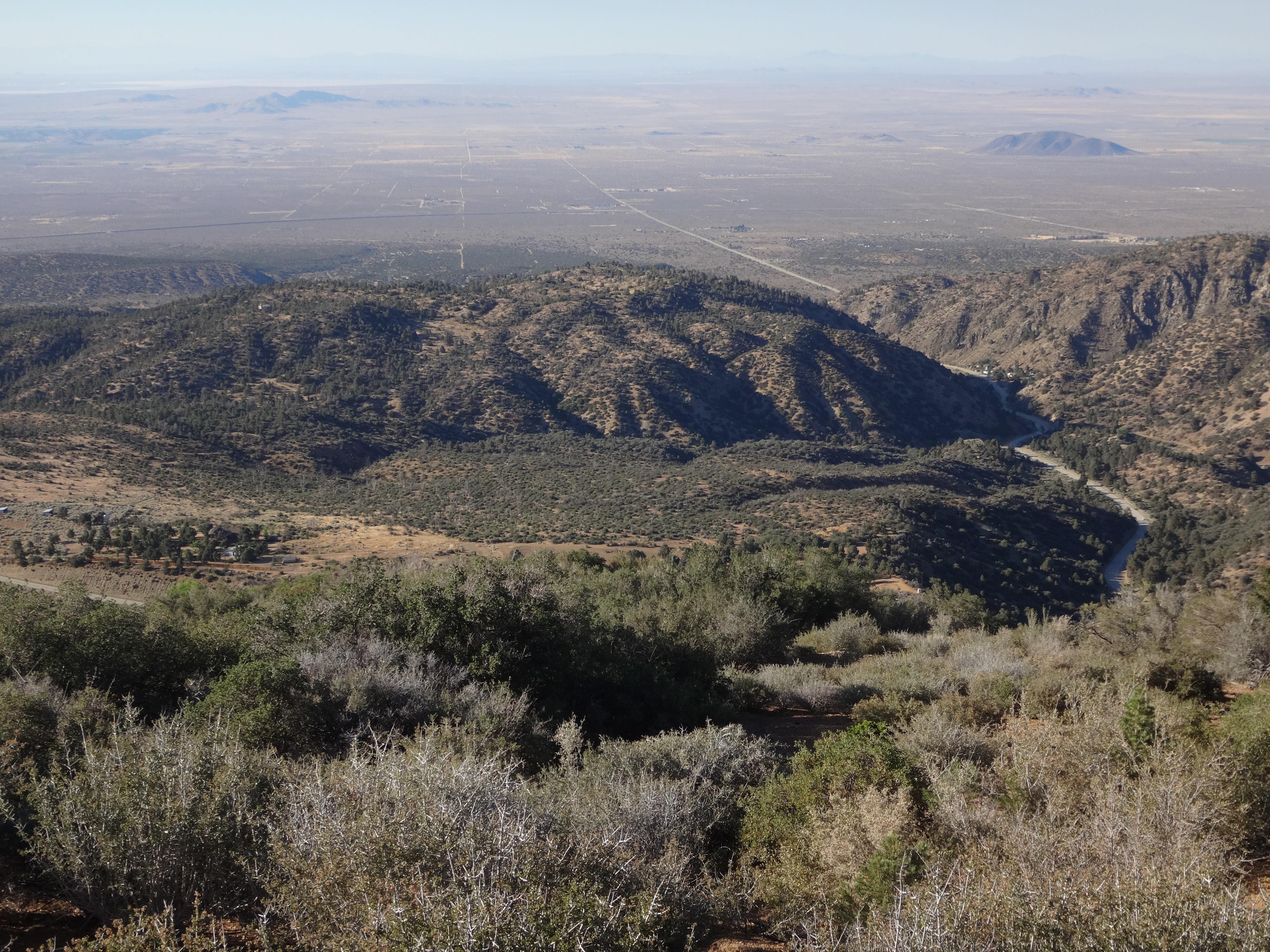
(Looking down at Big John Flat and Pinyon Ridge.)
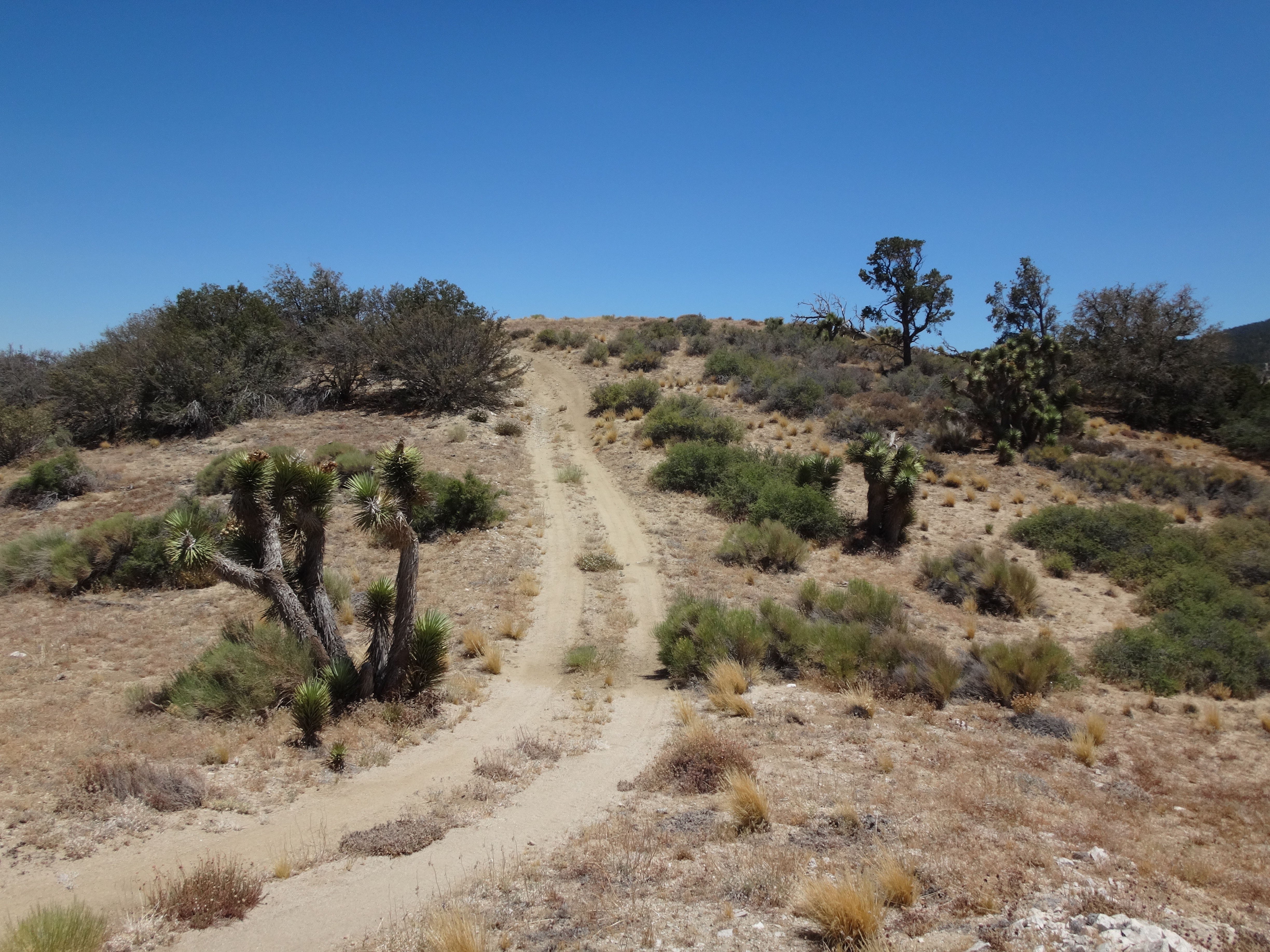
(Almost at the summit.)
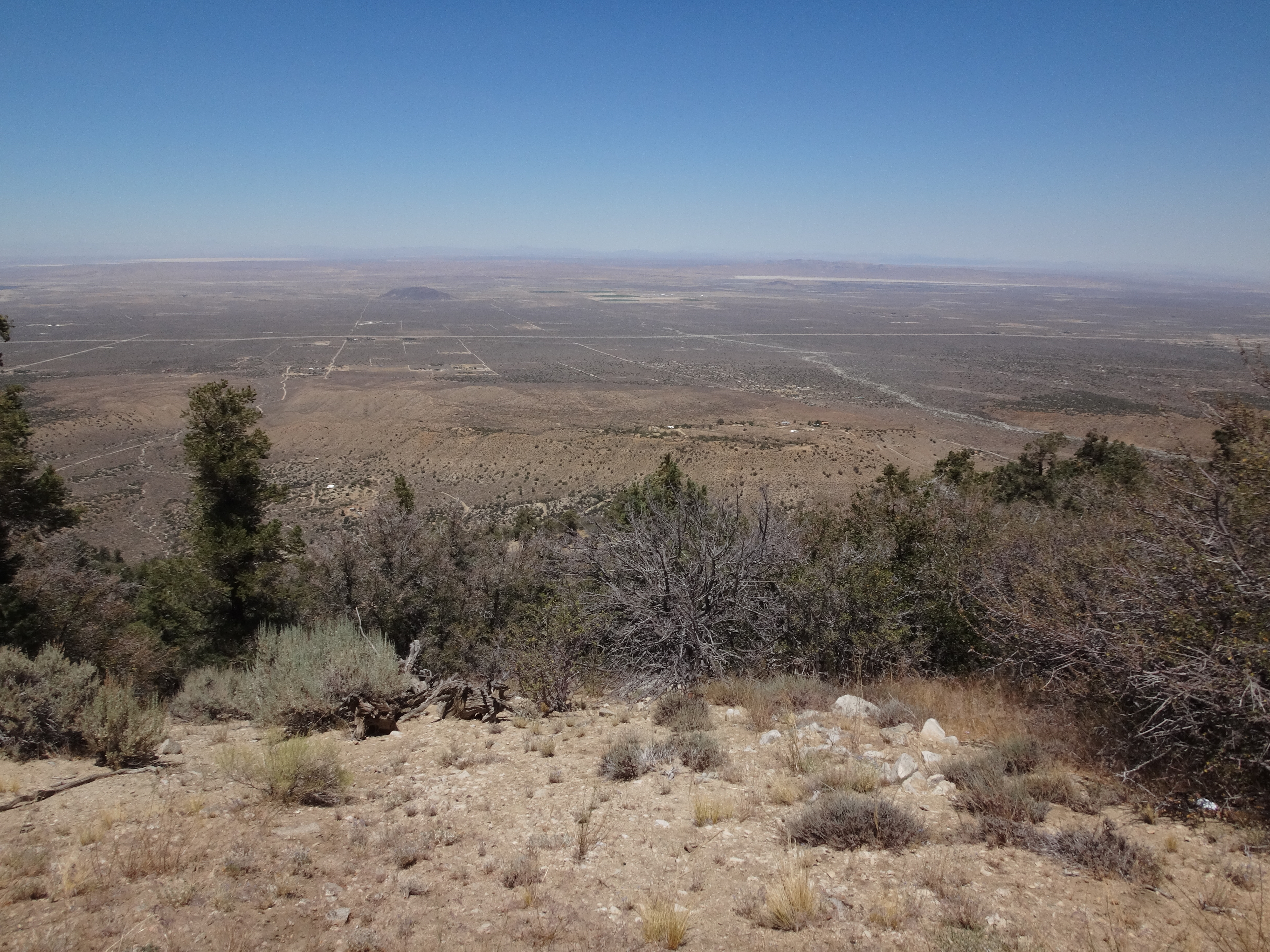
(View of desert from the summit.)
Unfortunately I did not find a benchmark. A little dejected, I plopped down in the shade of a Pinyon tree and swallowed some water, hoping for better luck next time.
Back driving on Big Pines Hwy, I kept a look out for All Nations Camp. The Sierra Club says you can find a use path up to Pinyon Ridge near this camp's entrance. However, it's not called All Nations anymore. It's a YMCA camp, and it was swarming with kids. They were crossing the roadway as I cruised by several times, trying to spot a use path. Not having any luck from my vantage point in the car, I finally parked down the street and walked up to investigate more closely.
Still, no sign of the trail. I probably should have printed out the Sierra Club directions instead of relying on my memory. "Well," I told myself, "it's the right ridge, so you might as well just go up it." And up I went, occasionally following fragments of use trails, most likely created by deer, but possibly Sierra Clubbers.
The initial 500 or 600 feet of gain was steep. There was minor brush and tree obstacles. Then I reached a firebreak, which got me the rest of the way to Pinyon Ridge.
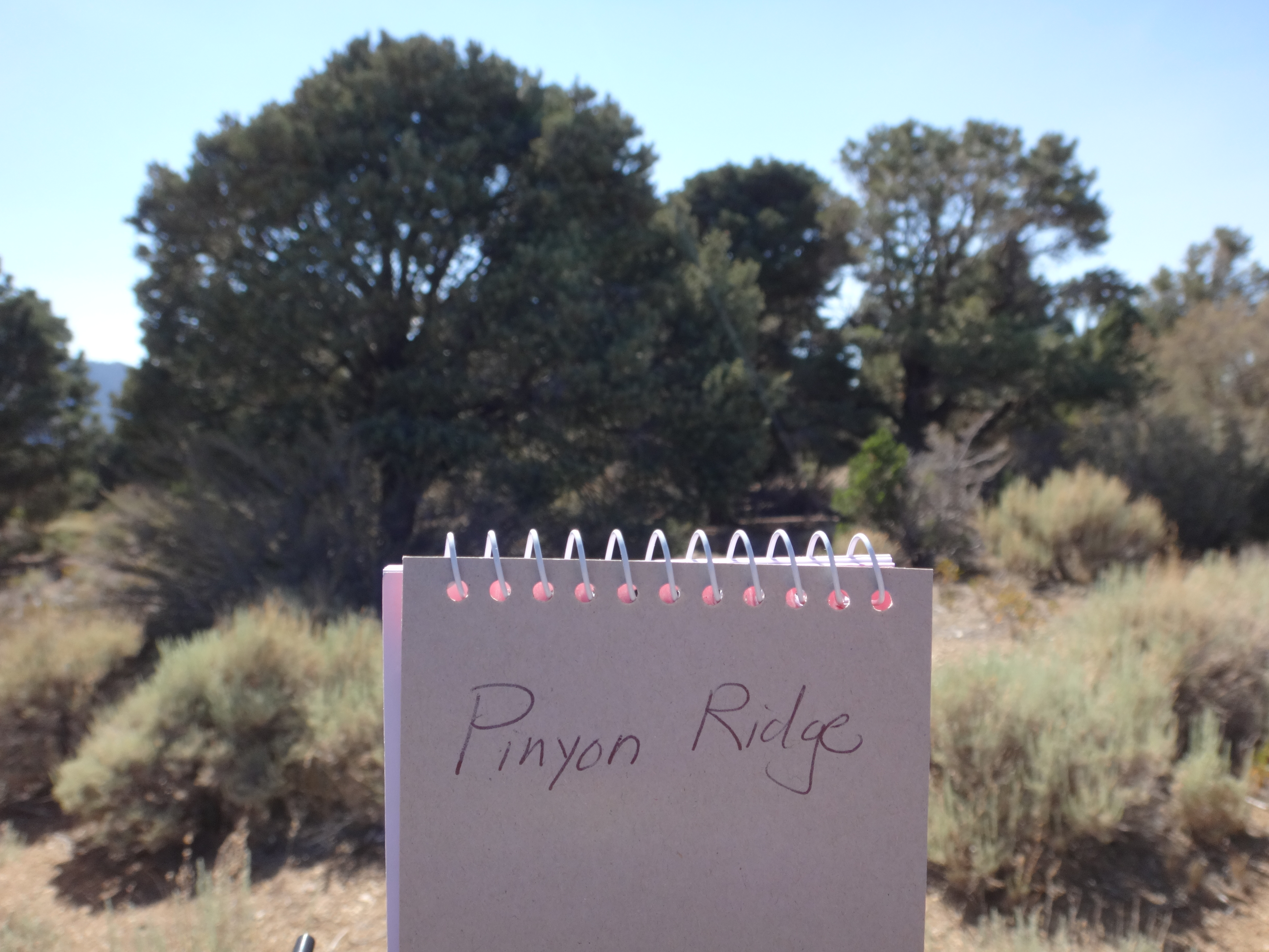
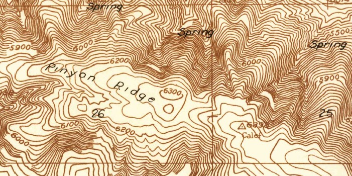
A recently placed register sat among some bushes and rocks at the highpoint (6535'), north of the fire road.
After signing the book, I found some shade and studied the 1995 topo. Calef Benchmark was labelled some distance down the ridge, beyond the second of two water tanks. I wanted to find it.
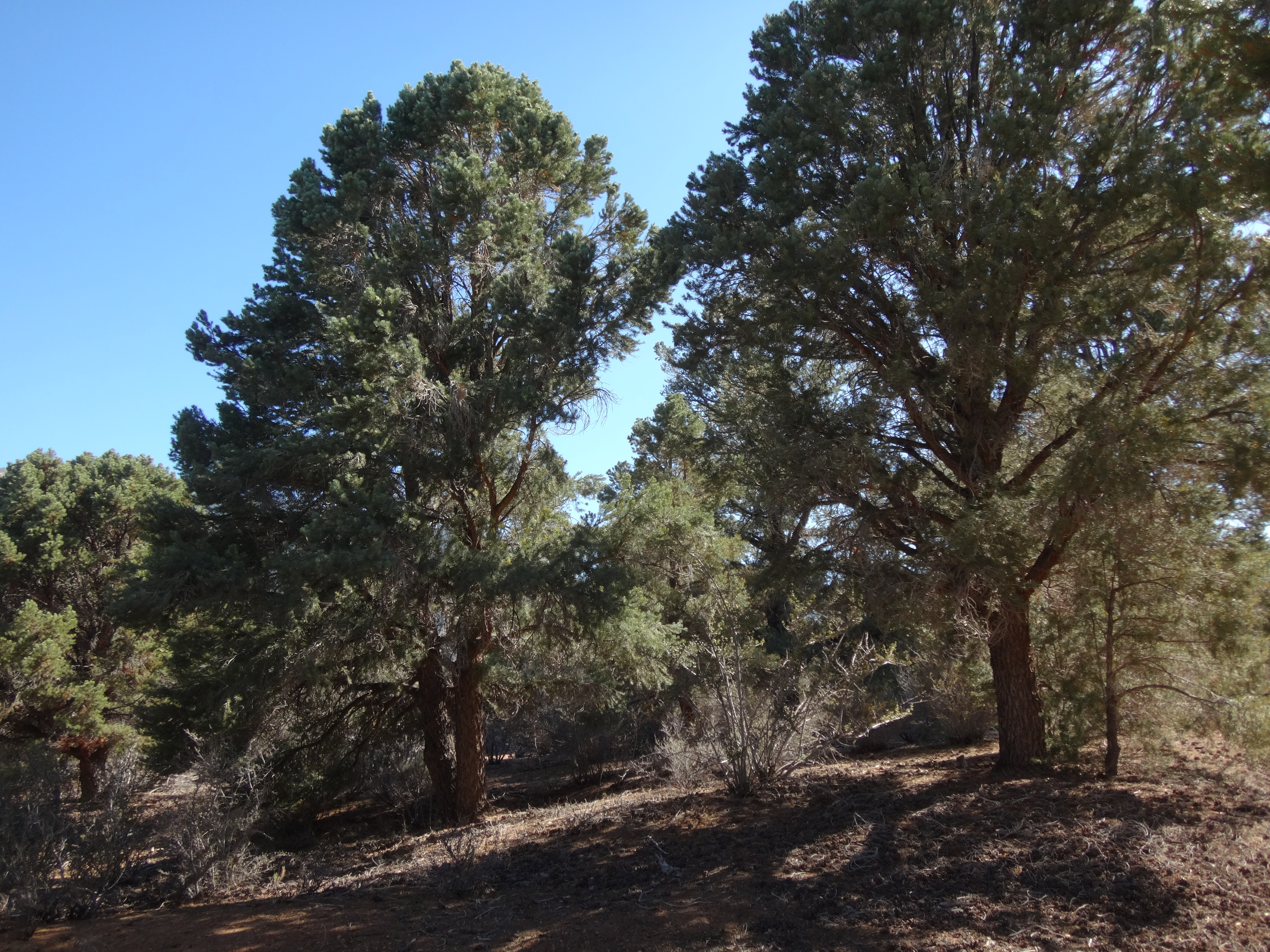
Walking the road atop Pinyon Ridge was very pleasant. The trees were plentiful and beautiful. A refreshing breeze had started up and kept going. As the afternoon progressed, the temperature noticeably dropped.
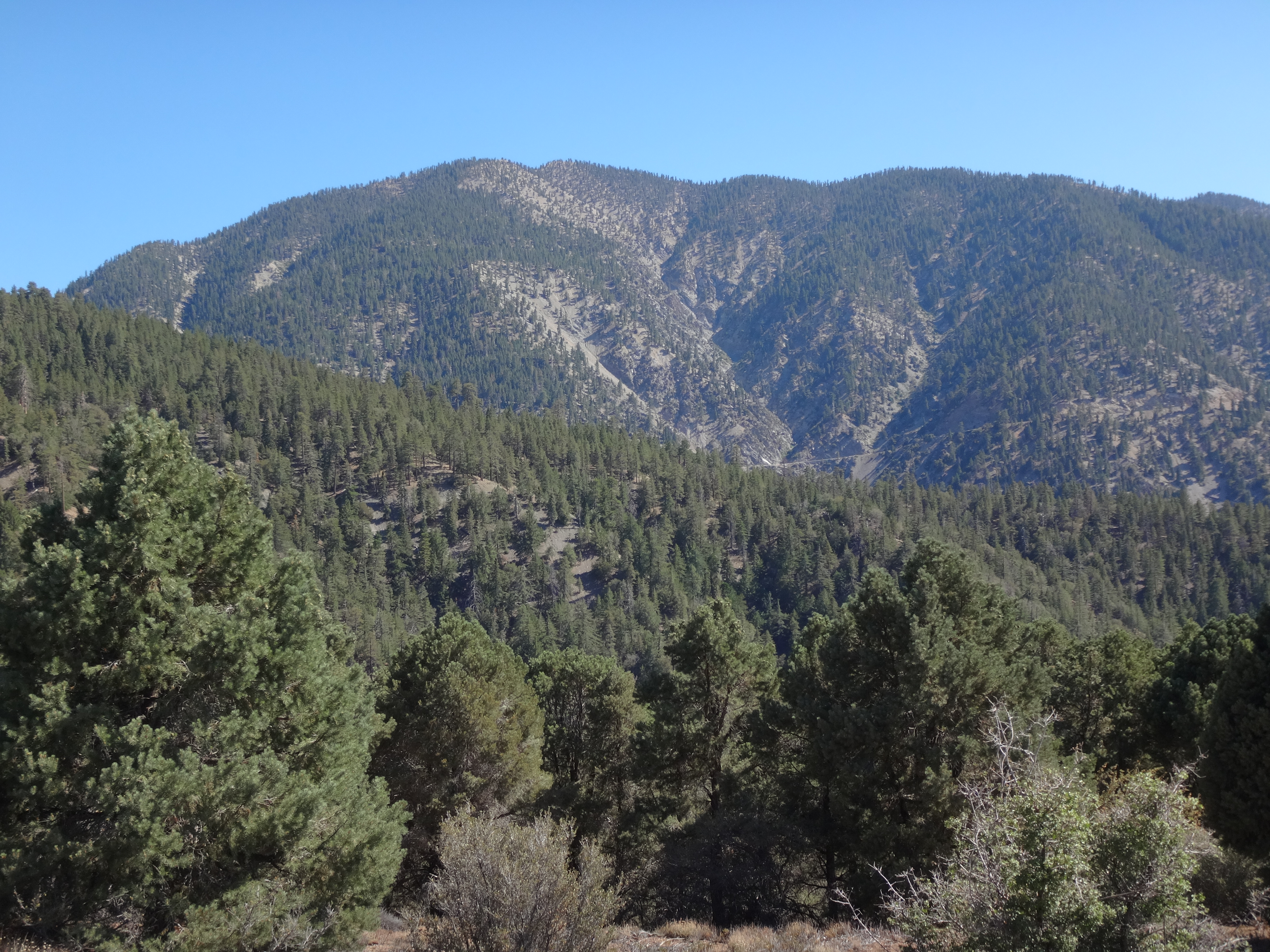
(View of Baden-Powell from Pinyon Ridge.)

I was enjoying myself so much that I completely overshot the benchmark location by an entire mile! Somehow I missed the first water tank and then mistook the second for the first. Afterward I kept walking, expecting to see another tank before having to worry about passing the benchmark.
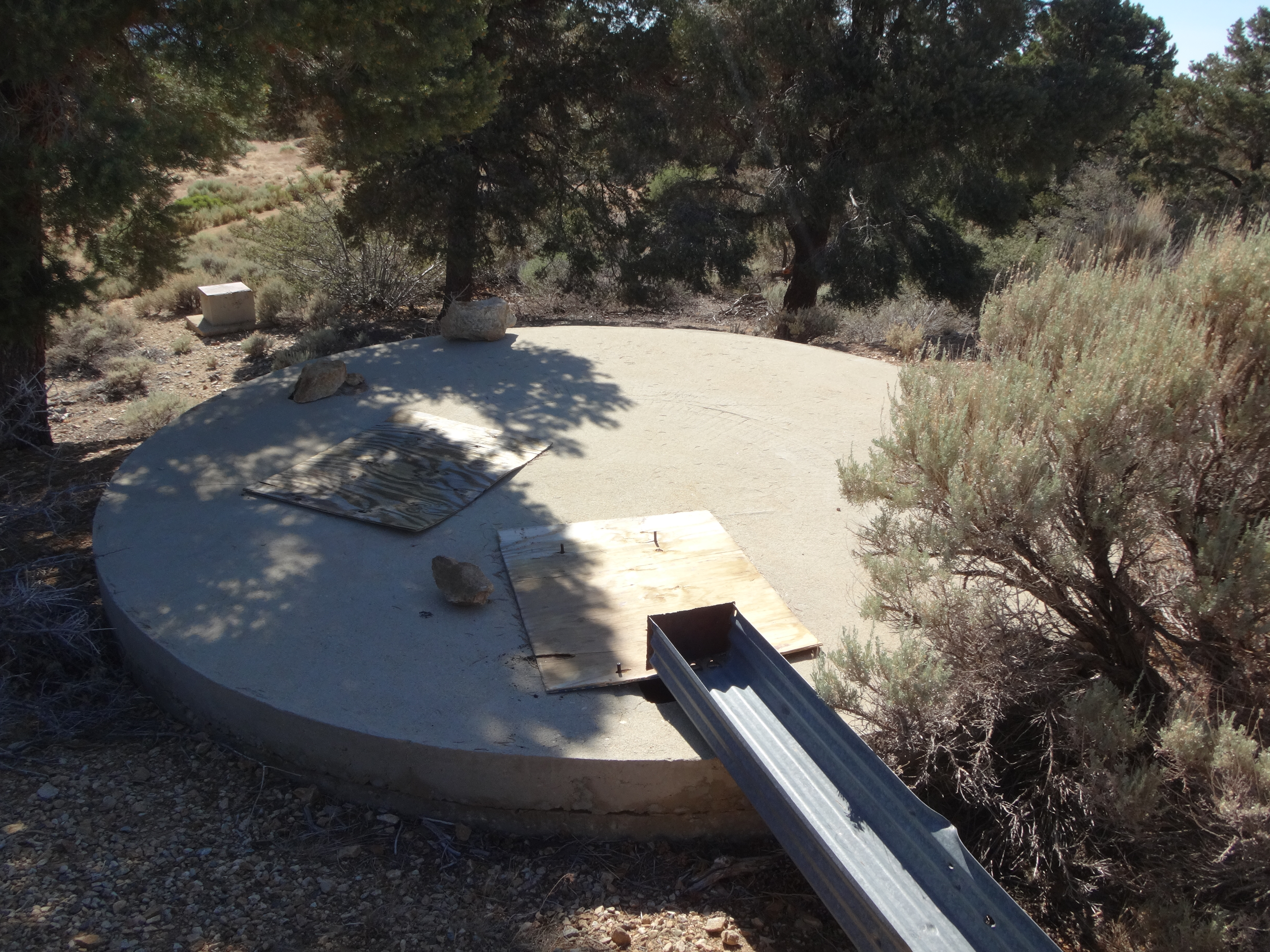
Maybe someone knows if the first tank (6480') still exists?
Anyway, I noticed my error by checking the map carefully when it seemed to be taking too long to reach the second tank. Backtracking a mile, I finally located the benchmark bump and, at first, was disappointed to see no sign of a bronze disc.
"Man, that sucks," I complained to myself.
I started doing a perimeter search, just to be thorough. And I noticed something odd. Two large rocks formed a cairn on top of an even bigger rock under the branches of a tree. It wasn't at the obvious highpoint, so why was it there?
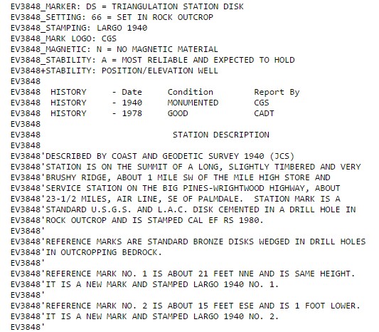
Looking more closely, I noticed that it was partially concealing a disc. Eureka!
But it was only a reference mark. And it was stamped "LARGO", not "CALEF." I promptly returned to the highpoint and turned over another pile of rocks which had covered the Calef benchmark.
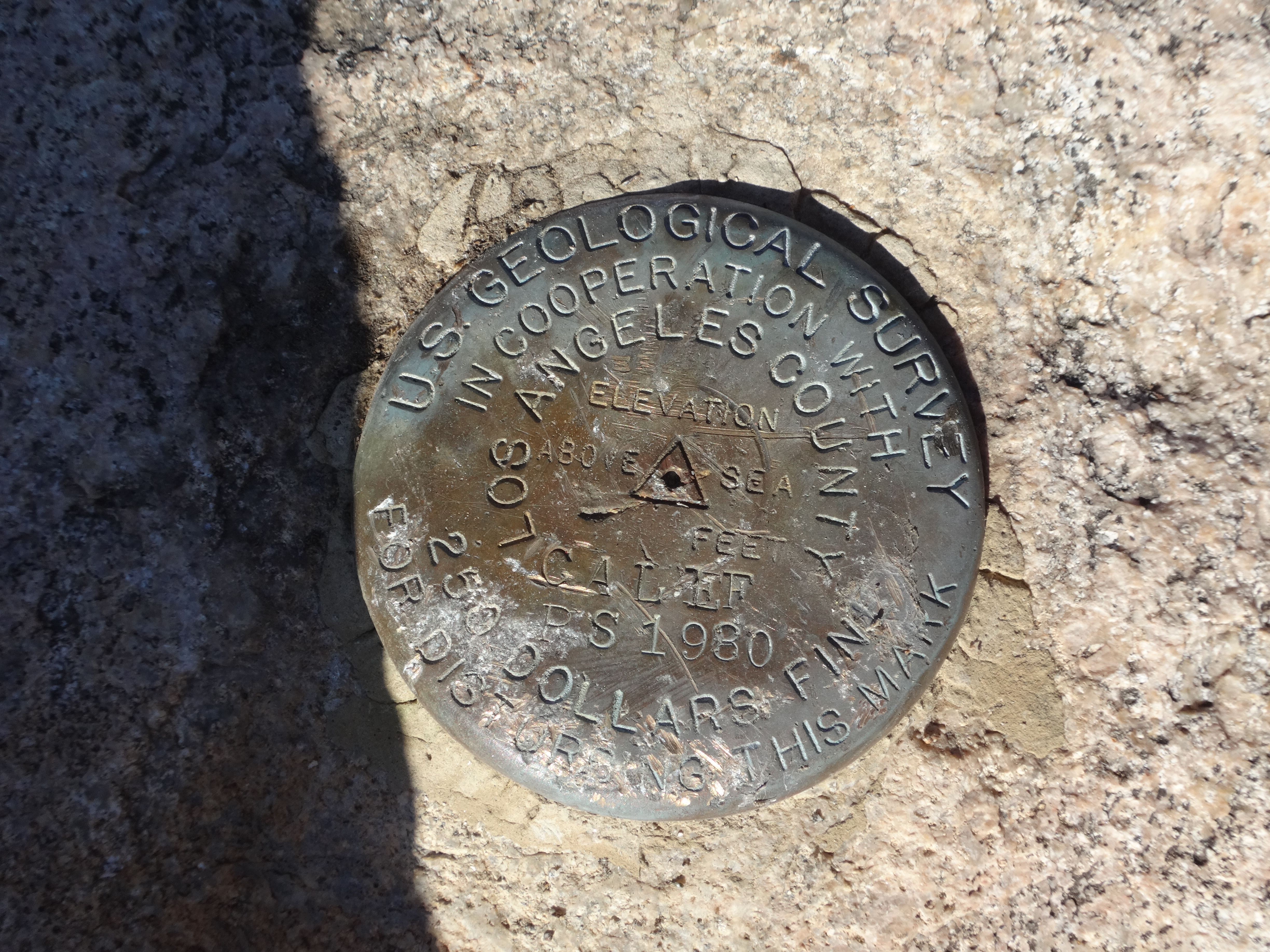
It was such a relief to find the mark. I had fully expected it to be gone, especially since the topo map shows the fire road going right over it.
Eager now to get down, I walked back to the water tank and took a look at the ridge to the north. My map made it appear fairly gentle, and when I peered over the edge, I saw an old firebreak--which appeared...fairly gentle.
Except for this part.
From the firebreak I had a persistent and mouthwatering view of my final objective for the day: Largo Vista Peak.
It was already 6:30 PM when I finished with the firebreak descent. But before I could try for Largo Vista, I first had to walk 1.7 miles up Big Pines Hwy back to my car and then find some extra water, as I had already burned through the four liters I purchased earlier. Luckily there was water not far away at Mtn. Oak campground. The host came over to talk while I filled some bottles. She wanted to know what I had been up to and all that jazz. I tried to explain my stupid adventures and then took off.
By the time I reached the proper turnout on Largo Vista Rd,
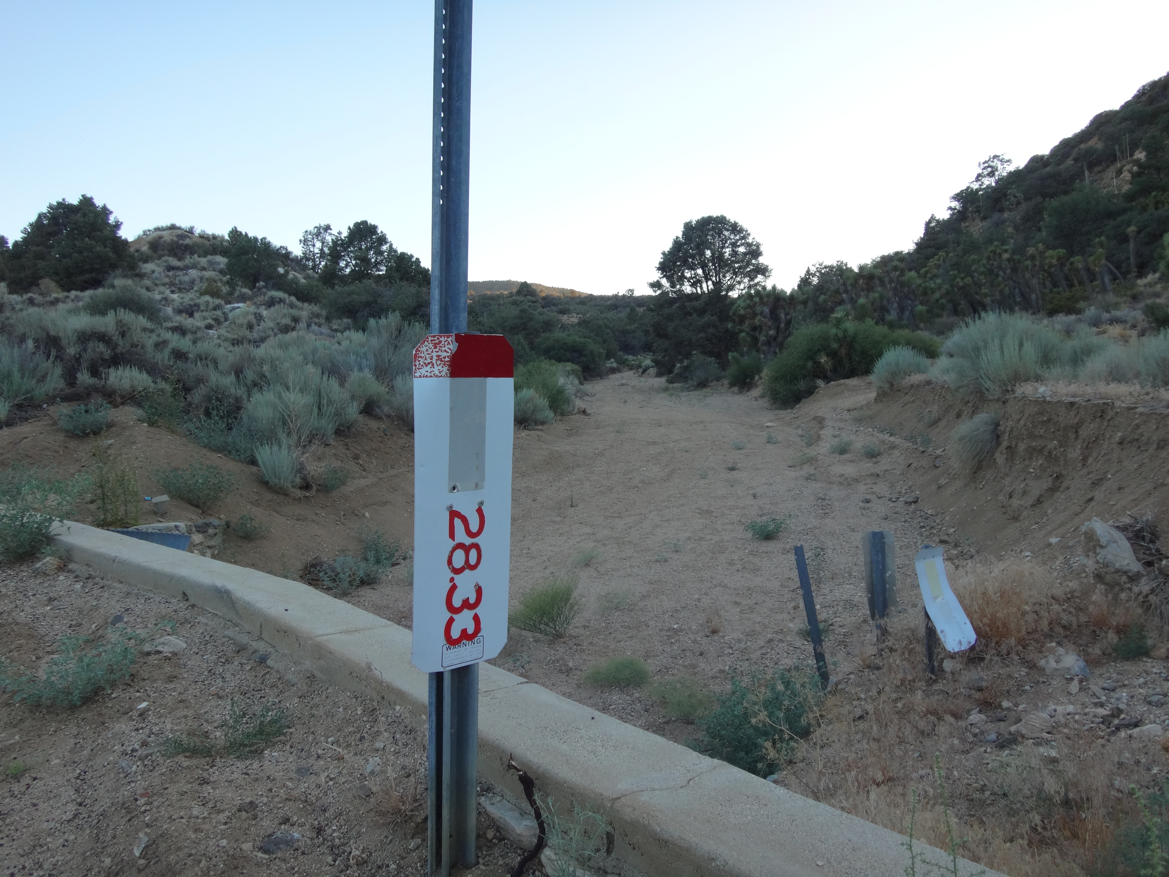
it was 7:42 PM, which didn't leave much remaining daylight for farting around with this mountain.
Largo Vista Peak is something I found on Peakbagger. And I had a good memory of one trip report: you go up some wash, to some ridge, and then you get to the peak.
Okay, maybe my memory wasn't so good. In any case, I had scoped the area pretty well from Pinyon Ridge and felt confident.
Up the sandy wash I went, following tire tracks until the straightforward path took me into a gully too narrow for cars. Then a deer trail took me up a short, steep ridge. Soon a fire road came into view on the left and I crossed over to it.
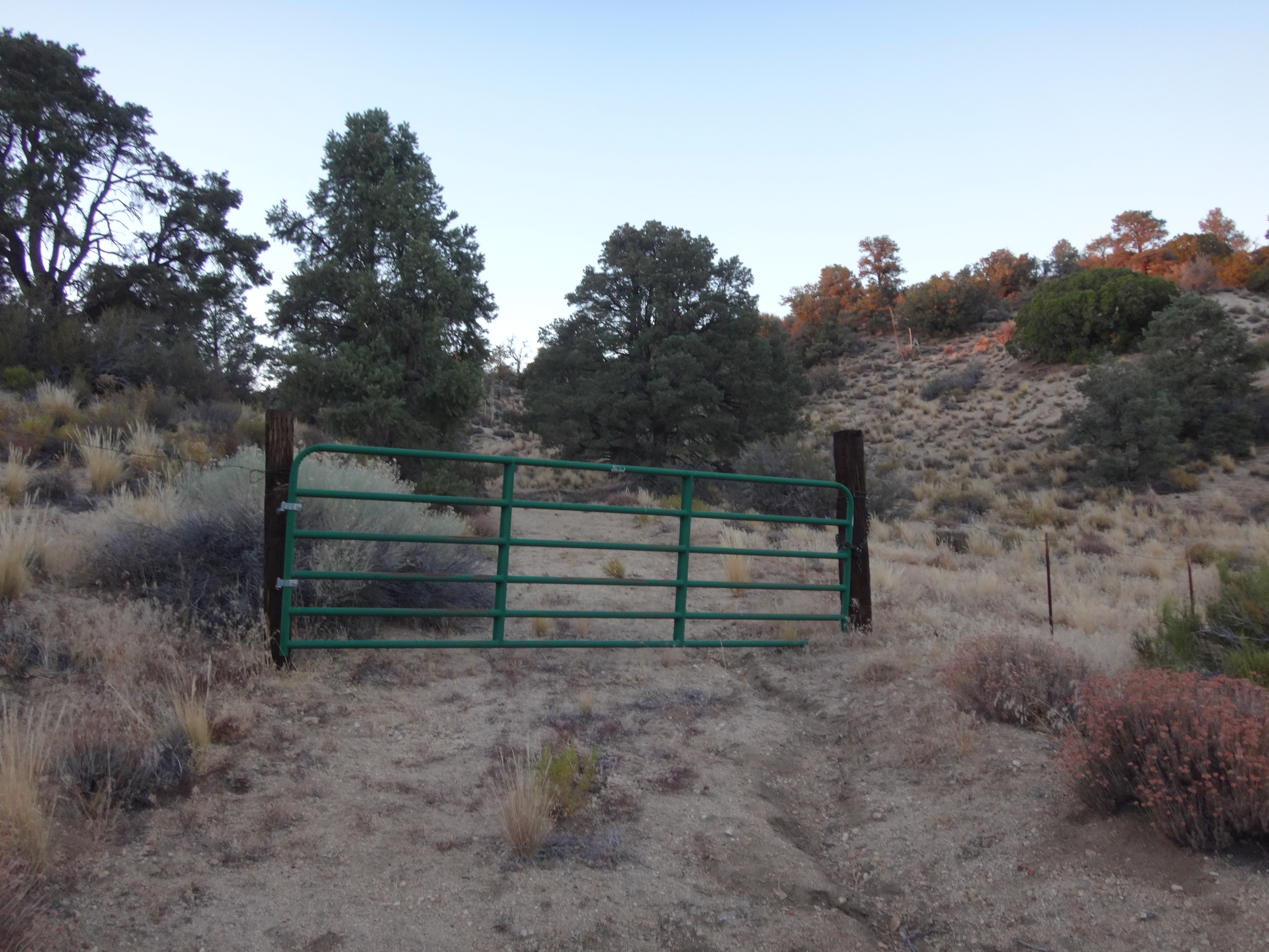
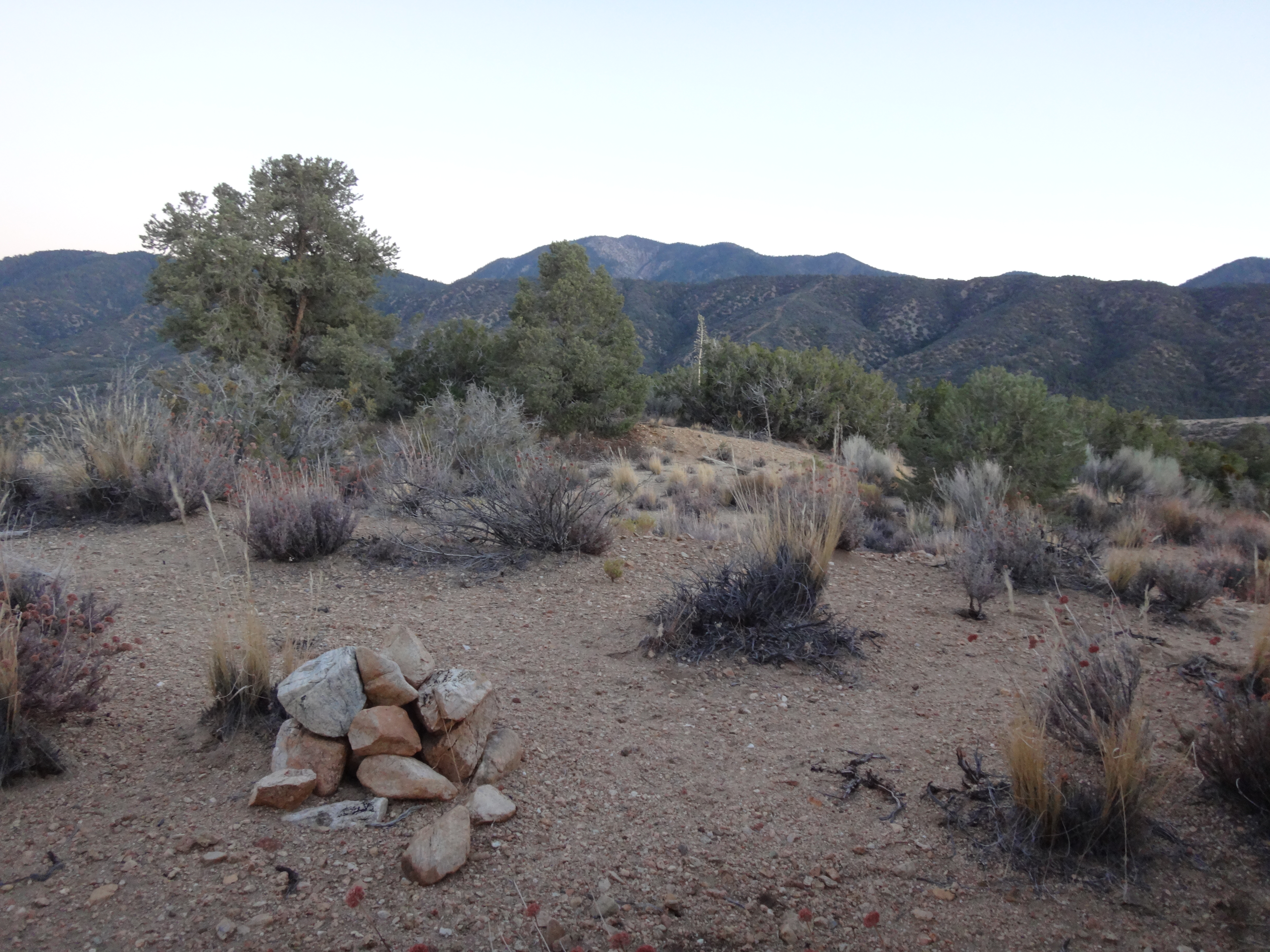
An old gate marked a property line, perhaps for the house I snuck past. But nobody came out with a shotgun or anything. One road led to the house and another to the summit, about a quarter-mile from the junction. I reached Largo Vista Peak at 8:10 PM. The summit wasn't much to shout about. A little pile of rocks.
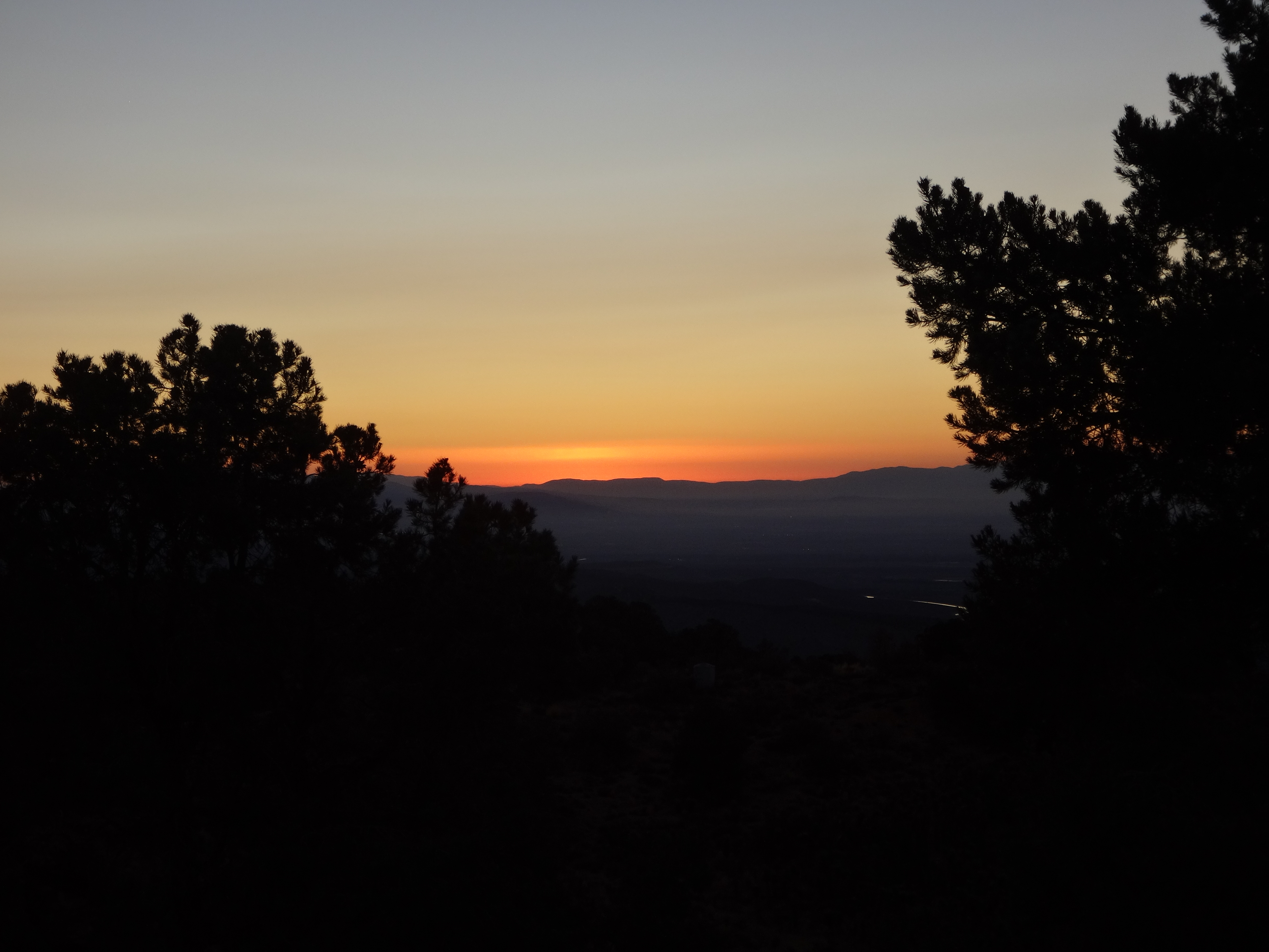
And a view of the sunset.
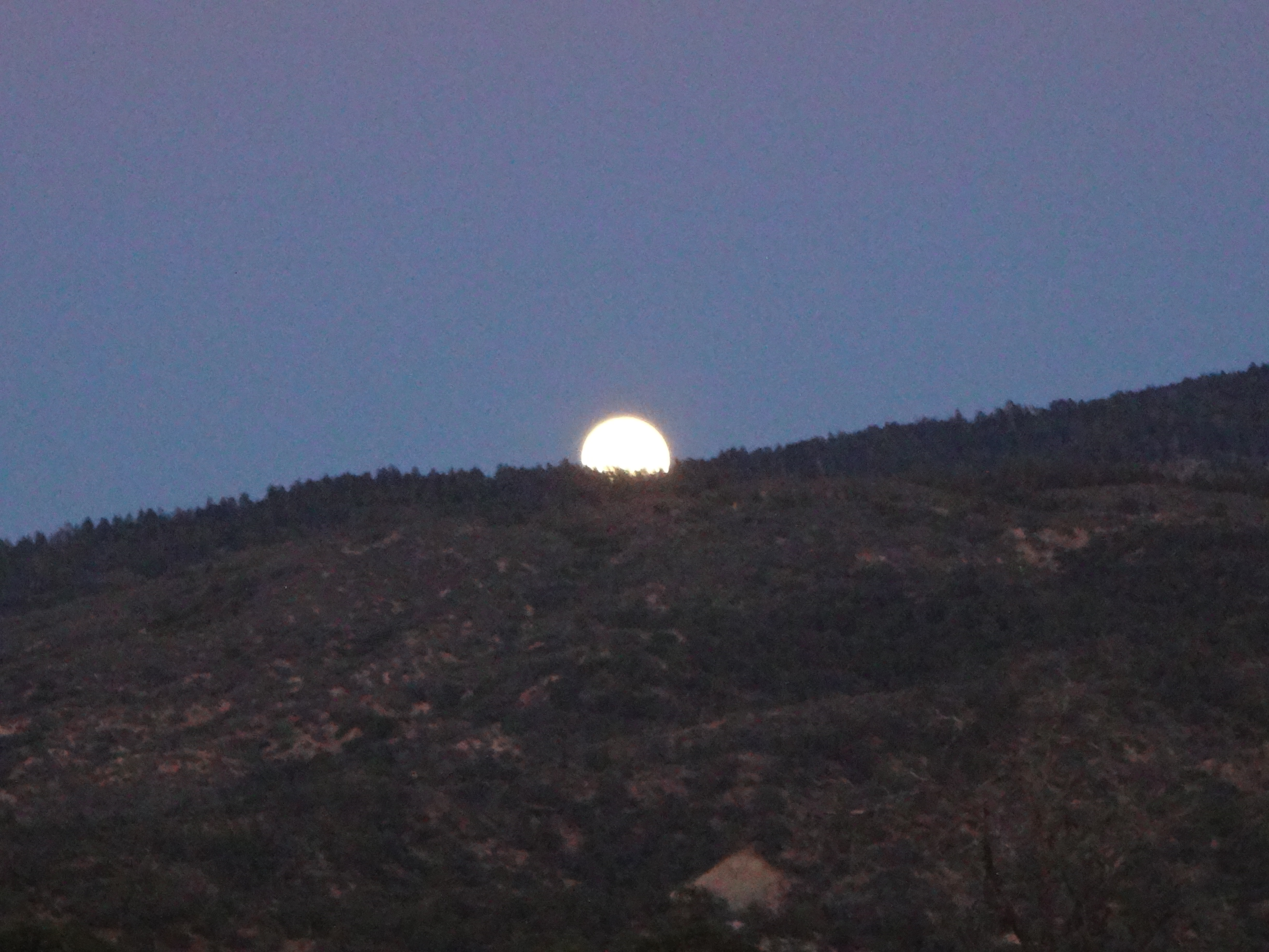
During my descent, Mr. Full Moon came out for a look around. But he didn't have anything to say.
The end.