Pallett Benchmark North ridge

TRs for the San Gabriel Mountains.
Post Reply
User avatar
dima
Posts: 1354
Joined: Wed Feb 12, 2014 1:35 am

Post by dima »

Today I filled in some glaring gaps in my knowledge of the North side of the San Gabriels. I went to Devil's Punchbowl park intending to climb some peak I've never been to, preferably off trail at least partially, and preferably as a loop at least somewhat. Done and done.

The first order of business was to scramble around the Sandrocks and to check out the Punchbowl:

Image

Image

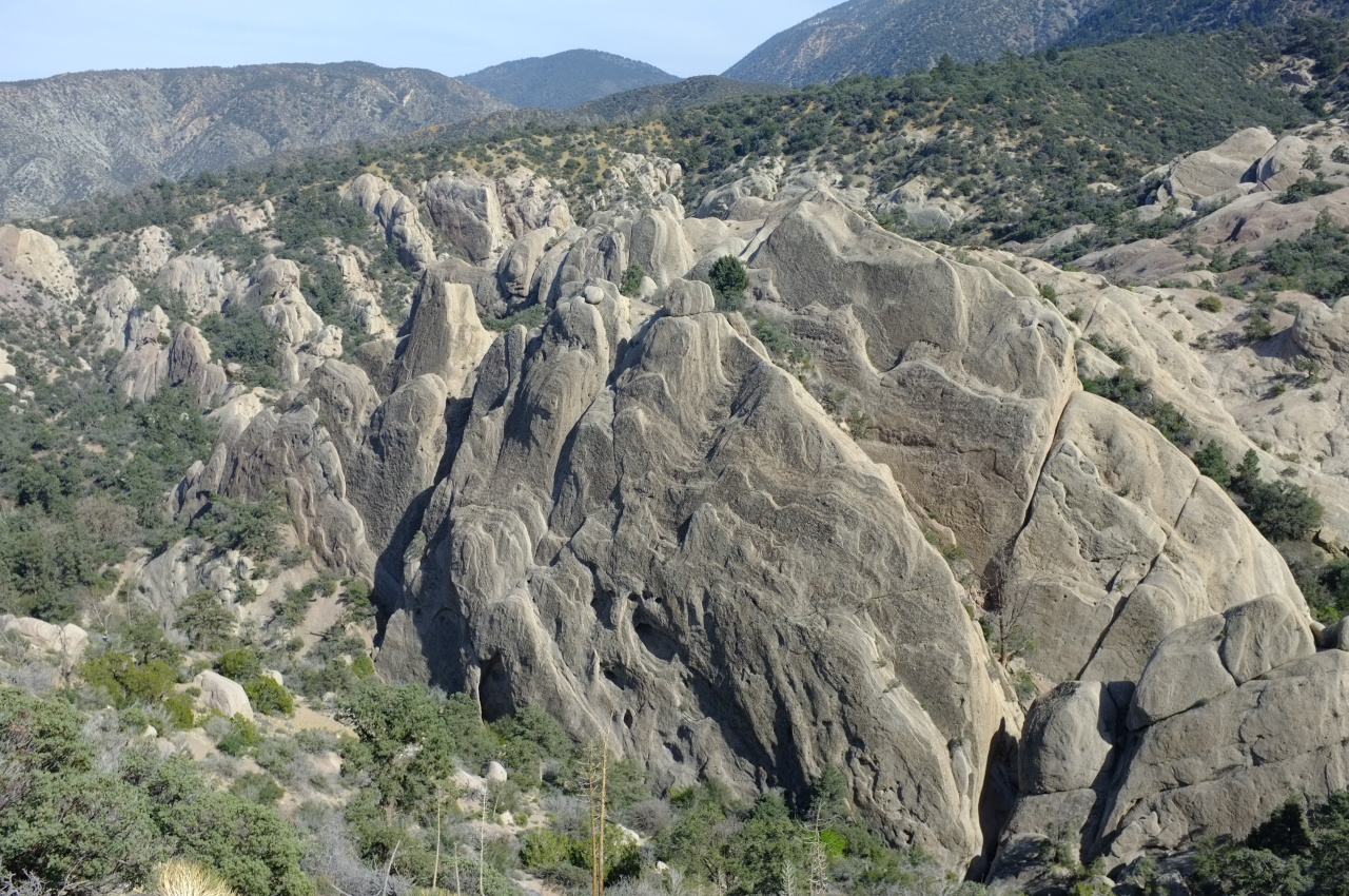
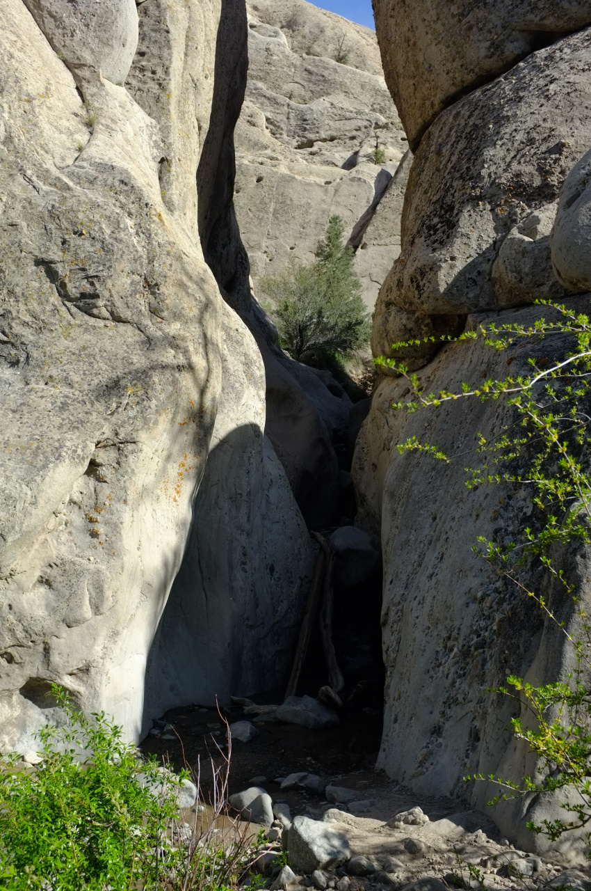
There's a creek flowing out of it. Neat! Then I walked to the Burkhart trail by following the High Desert trail West. This section is now signed as the PCT in a few places, so the frog closure is probably permanent.

After the Burkhart trail crosses Cruthers creek, it mostly runs well below the ridge West of this creek. This ridge eventually ends up at the Pallett Benchmark on Pleasant View Ridge. So the plan was to walk up to the benchmark by scrambling up this ridge, then come back via the trail. The lower section is brushy. The start looks like this (the trail contours to the left; the ridge is straight ahead):

Image

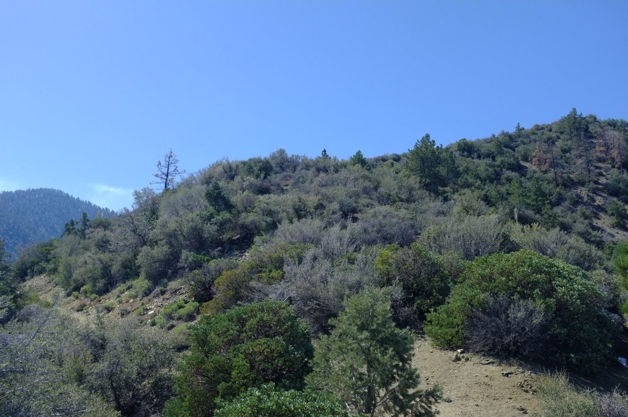
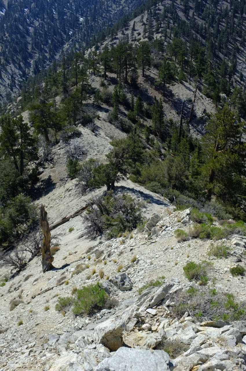
There's a use trail here and there, and I found somebody's fire ring. It's very lightly traveled, however. The good news is that the brush gets more manageable as you ascend over some bumps (note the destination in the background at right):

Image

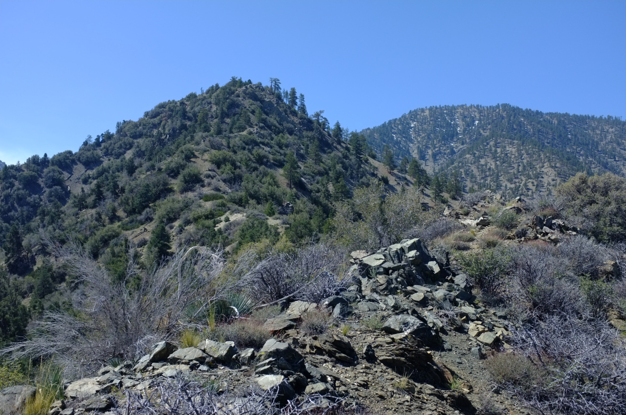
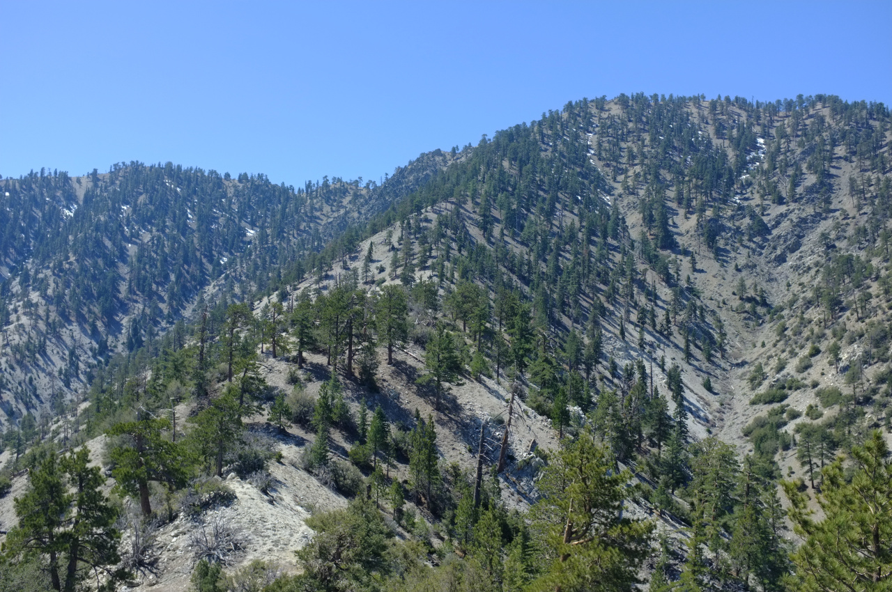
The bad news is that the going gets much steeper as you ascend. The start of the final climb:

Image

Image

Soon after the final climb begins there's a surprisingly well-defined section of use trail cutting to the right, and somebody even sawed a dead tree blocking the path:

Image

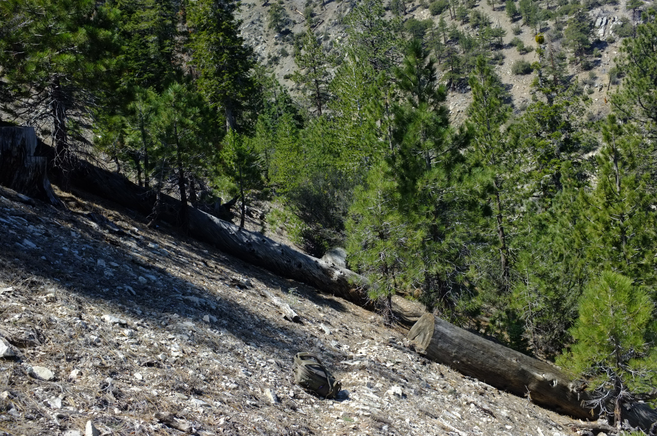
This turns out to be a large switchback that soon peters out. It's not really needed anyway, since it's clear what to do here: climb!

Image

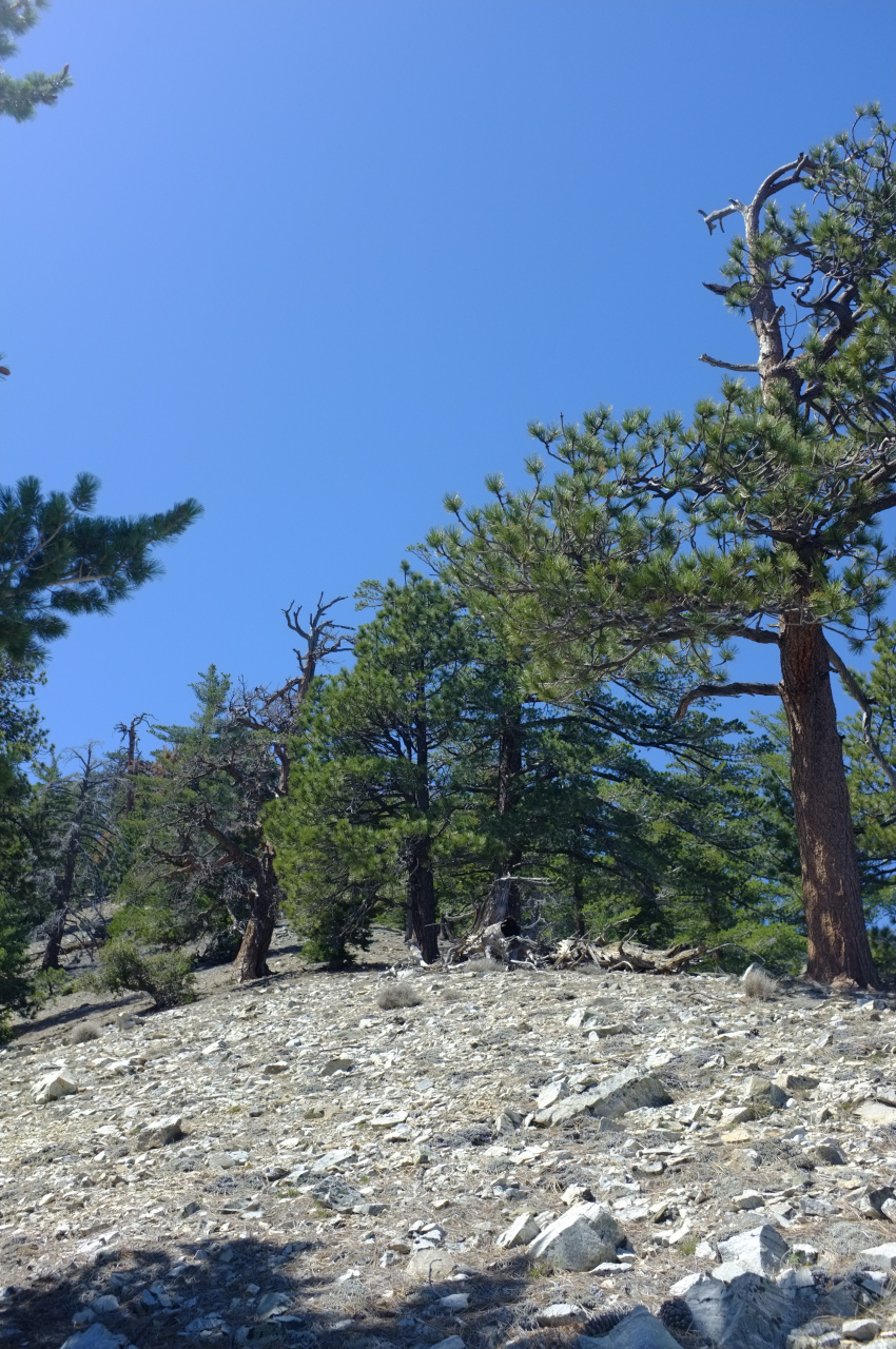
The last section (a bit over 1000ft vertical) is very steep, but eventually you top out at one of those triangular posts. I LOVE ending a long climb at one of these!

Image

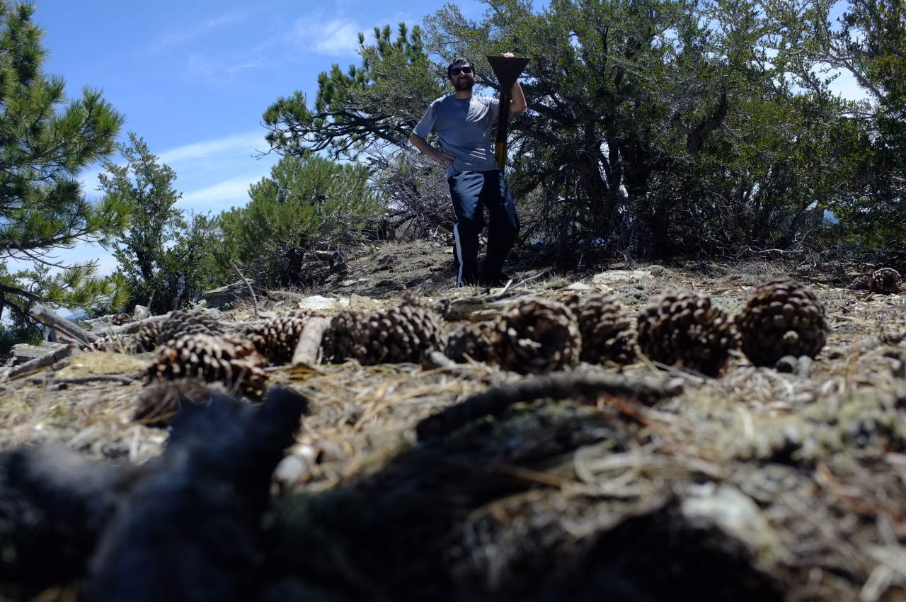
The ridge doesn't end directly at the benchmark, which is a short walk to the West:

Image

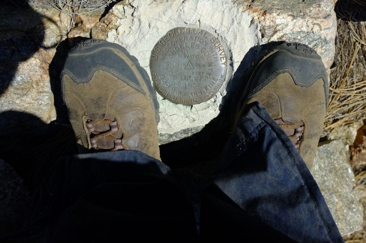
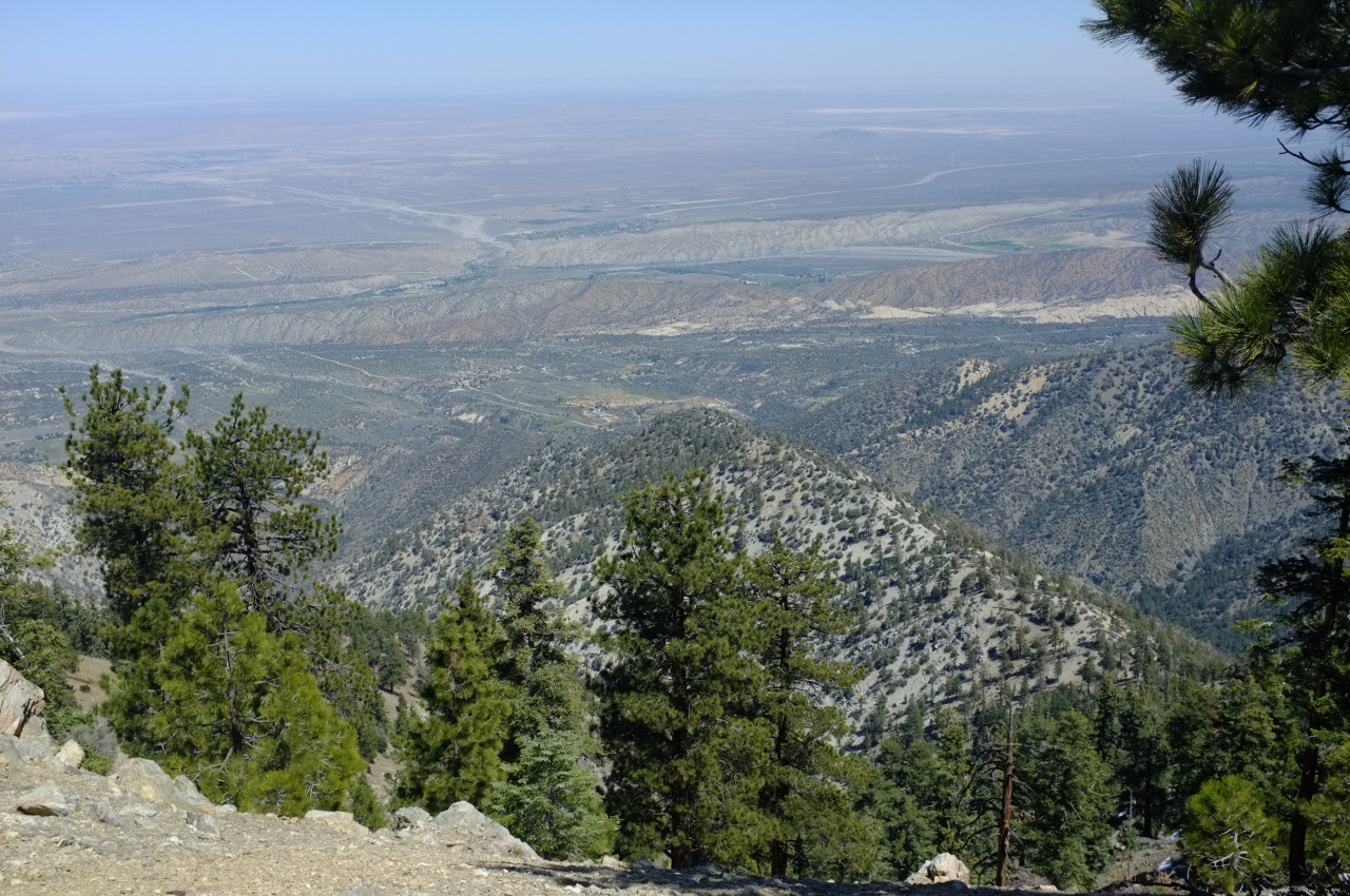
There is no register, although some of the rocks make me think there was one at some point. The view of the Mojave is very nice, and the long ridge I just ascended is visible:

Image

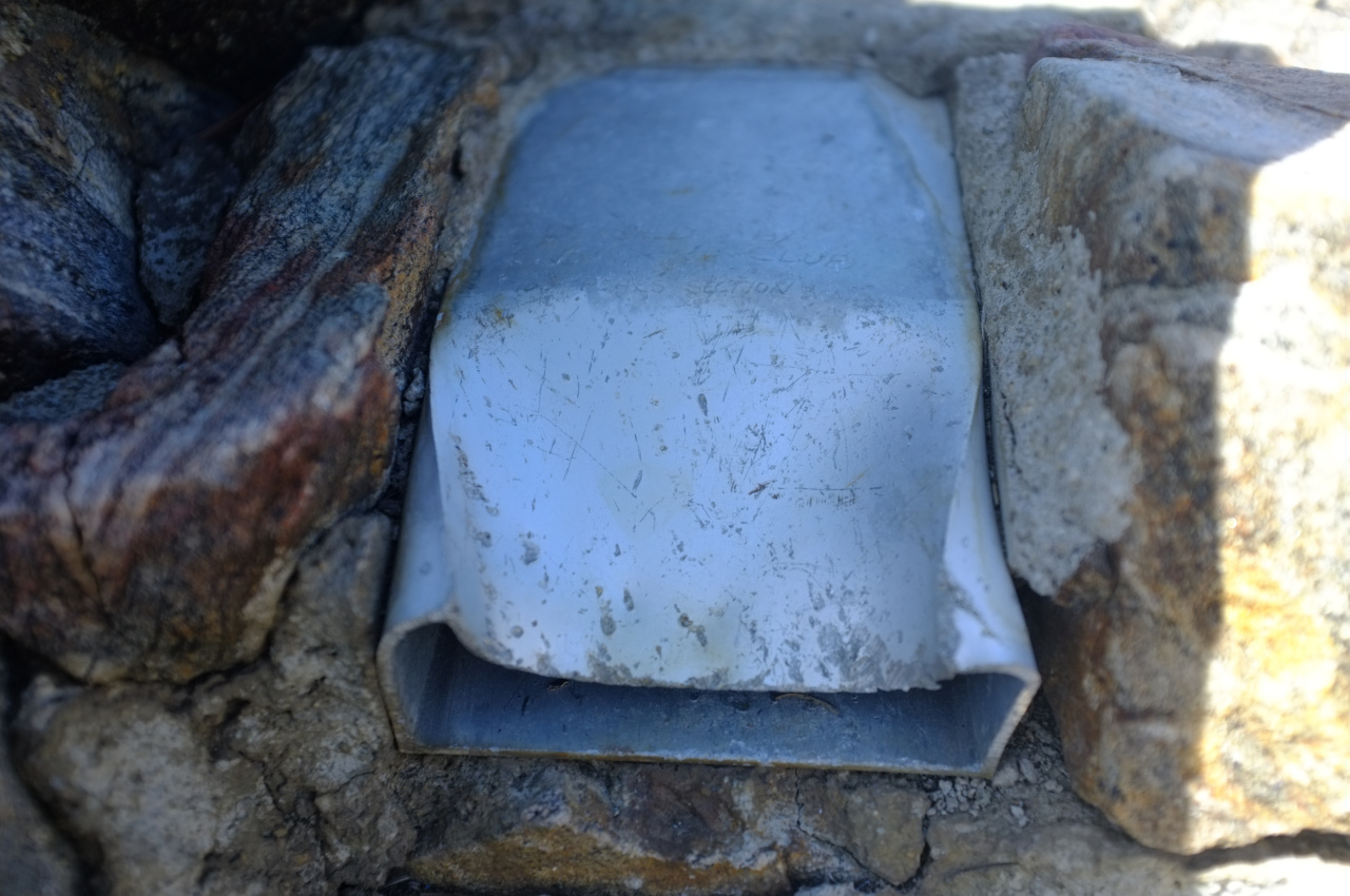
Will Thrall Peak is a short walk across a saddle to the East. It has a container where a register lived previously, but it does not live here anymore.

Image

Image

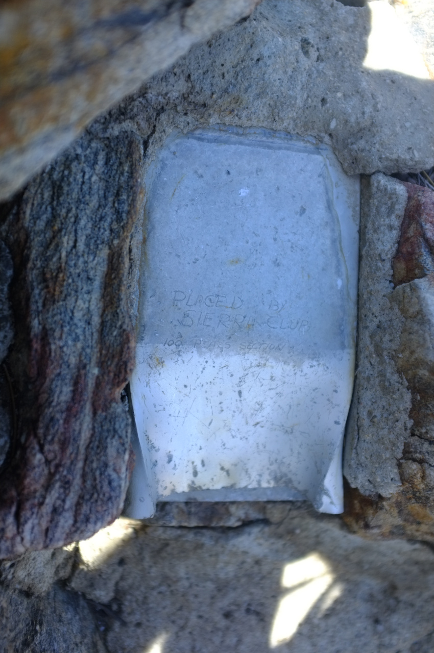
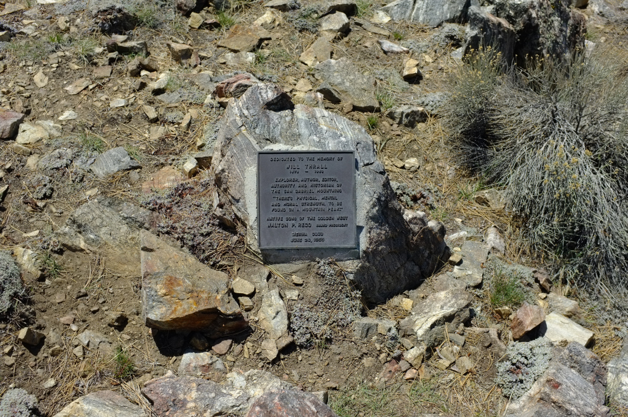
And there's a nice plaque commemorating Will Thrall:

Image

Mt. Williamson looks like this:

Image

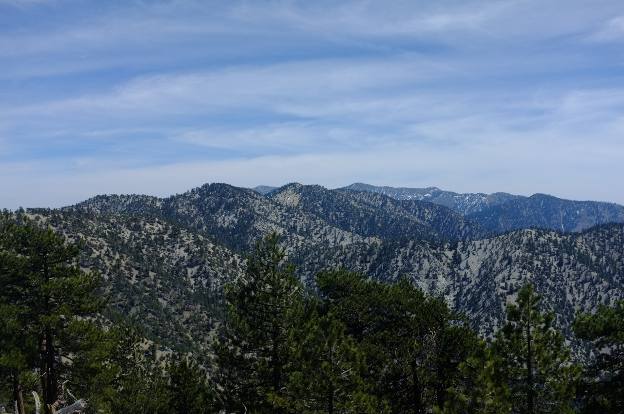
And a whole slew of peaks poke out to the South:

Image

In order from left to right:

Santiago/Modjeska (way out there)
Unnamed ~7150ft peak by Cedar Springs
Three-headed Snowcrest ski area
Unnamed ~7180ft peak SE of Buckhorn Spring
East Twin
Akawie (in front)
Waterman
Winston (barely poking up above West slope of Waterman)
San Gabriel
Disappointment
Unnamed bump on Waterman's West ridge (in front of Disappointment)
Deception
Lawlor

I took in this pleasant view for a while while thinking about how just how easy this ridge was. It was expectedly brushy and steep, but. I don't think I had to use my hands once. Compare this to the adjacent ridge ascending Mount Williamson that walker climbed earlier: https://eispiraten.com/viewtopic.php?t=6413. I was eyeing this ridge the entire time and it clearly has some bumps, but it wasn't visibly different; maybe I needed a different angle.

Today's haul of birthday balloons: only 3. Apparently I need to get deeper into the wilderness.
User avatar
Sean
Cucamonga
Posts: 3787
Joined: Wed Jul 27, 2011 12:32 pm

Post by Sean »

Cool trip. In your wide shot, I think that's Akawie in the middle, to the right of Snowcrest/Kratka.

Anymore shots of the Sandrocks? Looks like a cool place to climb.
User avatar
dima
Posts: 1354
Joined: Wed Feb 12, 2014 1:35 am

Post by dima »

Sean wrote: Cool trip. In your wide shot, I think that's Akawie in the middle, to the right of Snowcrest/Kratka.
Akawie is the bump between (and beneath) East Twin and Waterman. Is that the you meant? I'm editing the post.

Sean wrote: Anymore shots of the Sandrocks? Looks like a cool place to climb.
I didn't take a single photo of them, actually, but they're cool and are fun to scramble on. That place really feels like Utah.
User avatar
Sean
Cucamonga
Posts: 3787
Joined: Wed Jul 27, 2011 12:32 pm

Post by Sean »

dima wrote: Akawie is the bump between (and beneath) East Twin and Waterman. Is that the you meant? I'm editing the post.
Yes.
User avatar
tekewin
Posts: 1195
Joined: Thu Apr 11, 2013 5:07 pm

Post by tekewin »

Nice trip! This area seems to be new hotness this year.
User avatar
Uncle Rico
Posts: 1402
Joined: Thu Mar 20, 2008 7:48 pm

Post by Uncle Rico »

Nice one dima. We thought about trying to get on that ridge from further up the Burkhart Trail the last time we were up there but it was pretty steep and loose. Accessing it lower down like you did looks like the way to go.
User avatar
walker
Posts: 248
Joined: Mon Apr 08, 2013 11:14 pm

Post by walker »

Hey Dima, nice job on a long ridge up there. It sure is scenic in that area. I think the fact that it's on a pretty shady northerly aspect helps keep more open piney vegetation and less of the dense brush, although I did encounter a few manzanita patches on my excursion.
Compare this to the adjacent ridge ascending Mount Williamson that walker climbed earlier: https://eispiraten.com/viewtopic.php?t=6413. I was eyeing this ridge the entire time and it clearly has some bumps, but it wasn't visibly different; maybe I needed a different angle.
I don't think you can see the one I hiked up from the Pallet BM ridge. On that trip, I went up the northerly ridge that forms the east rim of Holcolmb Canyon. There are several parallel northerly ridges to the west of Holcolmb Canyon, such as the north ridge of Pallet Mountain and the north ridge of Pleasant View Ridge dropping from the plane wreck down to Devil's Chair.

But if what you saw looked similar to what you went up, I'd be interested to explore some of those other ridges in that area and see if a loop is feasible using the High Desert Trail as a connector. It sure is pretty up there.
Post Reply