Alimony Rd to PVR to Devils Punchbowl

TRs for the San Gabriel Mountains.
Post Reply
User avatar
Sean
Cucamonga
Posts: 3787
Joined: Wed Jul 27, 2011 12:32 pm

Post by Sean »

Henry and I did a point-to-point, car shuttle trip yesterday. We left his car at Devils Punchbowl and took my car to Alimony Road (4N15) in Juniper Hills. From the intersection of Cima Mesa Road and 96th Street, we followed the unsigned Alimony Road about 1.4 miles and parked at an obscure junction (4620') with a short splinter road. The splinter turned into a steep OHV track that climbed to Saddle 4856.

Image

At the saddle we turned left and ascended about 500' on a firebreak.

Image

The firebreak ended at a well-defined ridge (not sure if this section is considered Pleasant View Ridge or not). Here we picked up a clear singletrack, which revealed some recent animal visitations, but no humans--unless they walked on stilts with deer hooves for feet.

Image

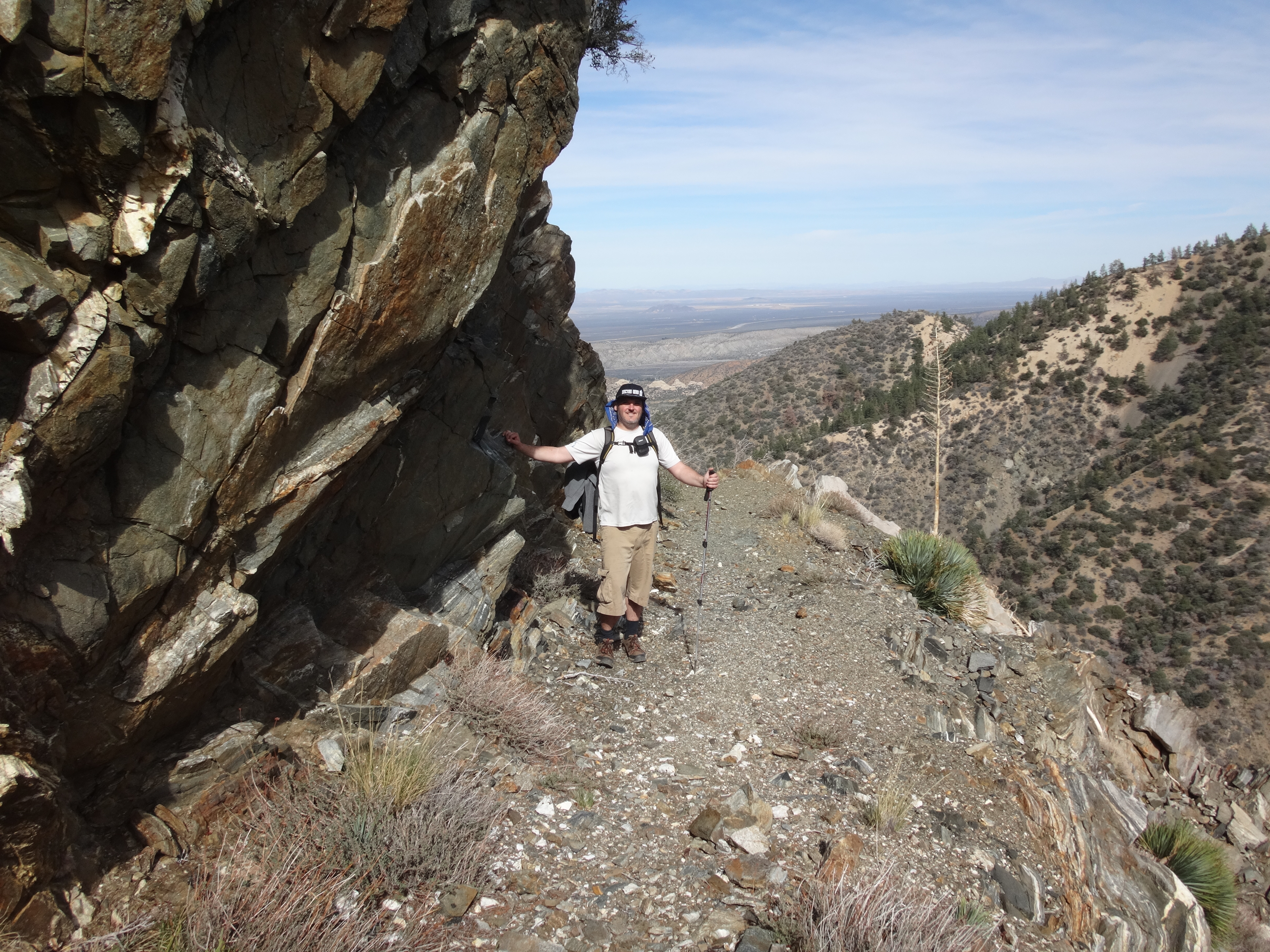
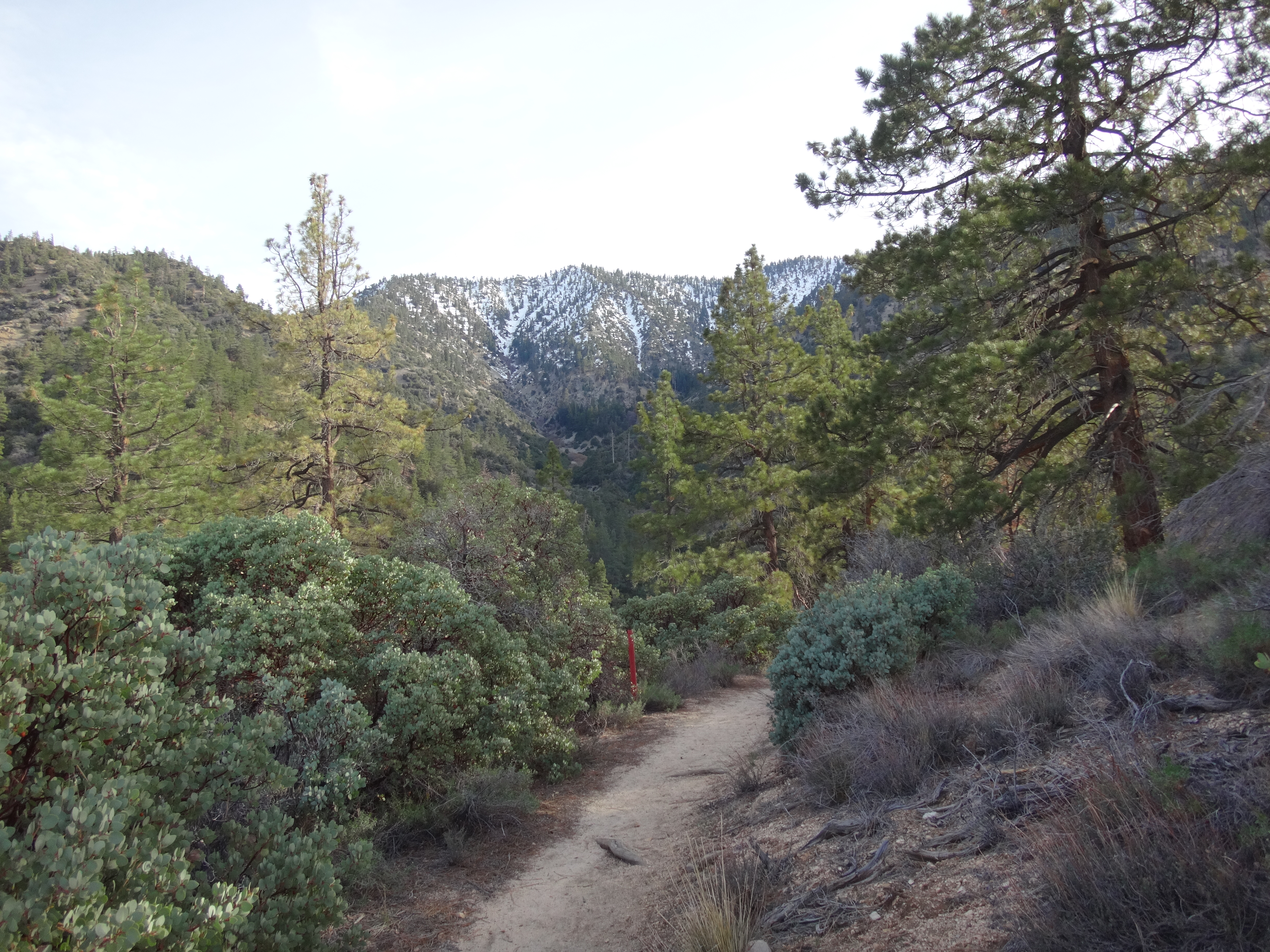
The trail followed the wide ridgetop with Little Rock Creek Canyon visible to the right.

Image

Image

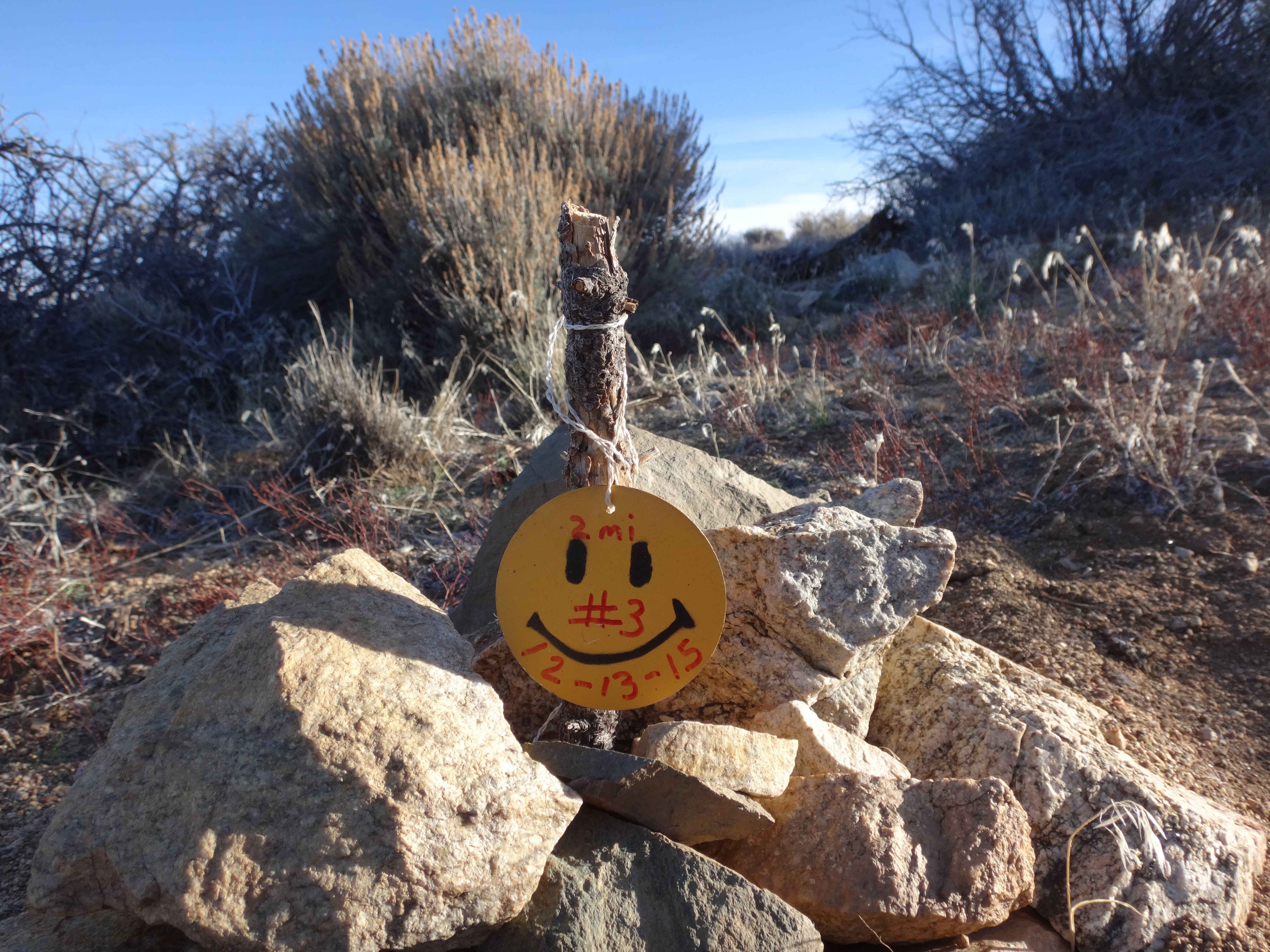
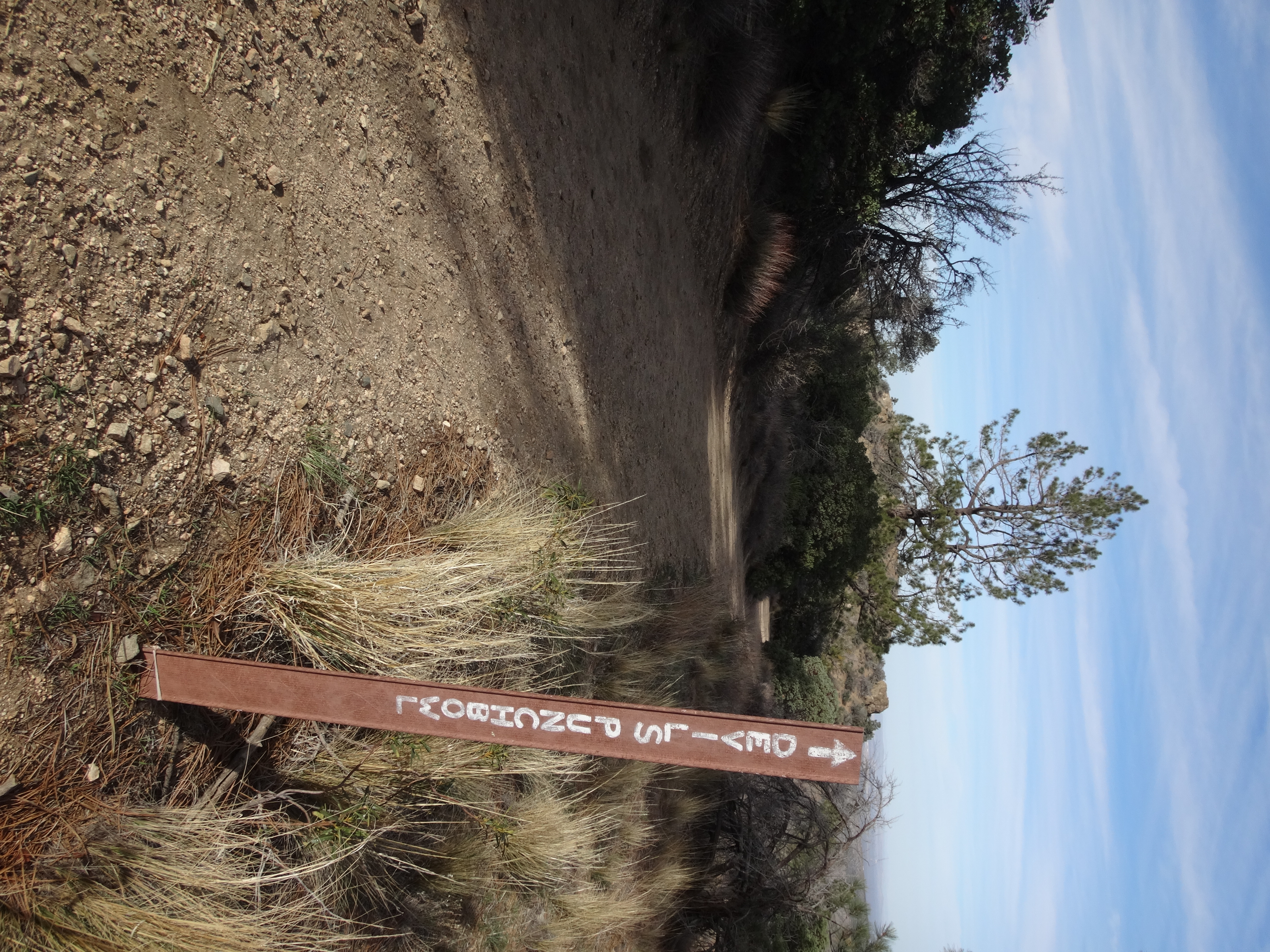
An odd, homemade sign marked two miles.

Image

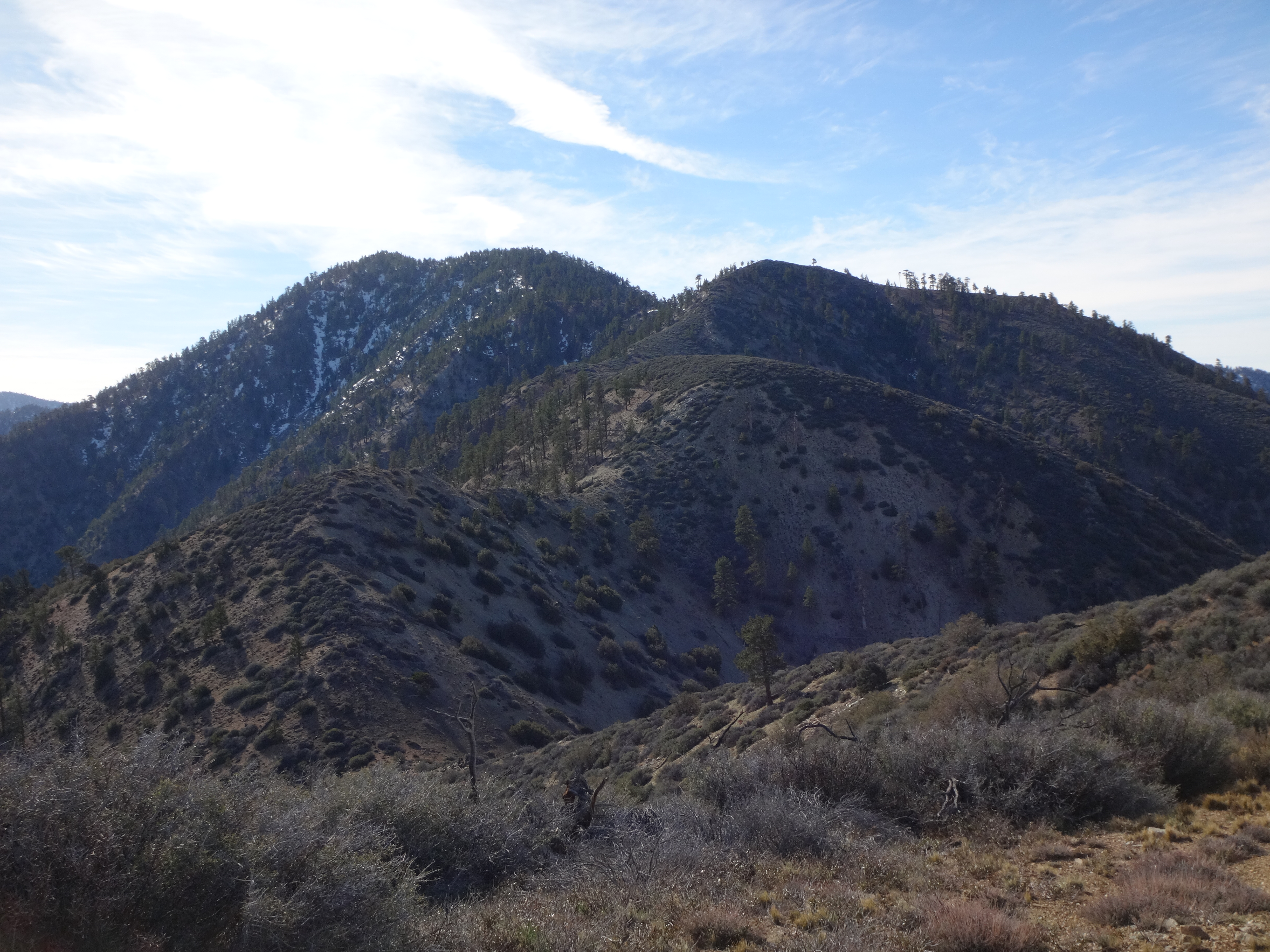
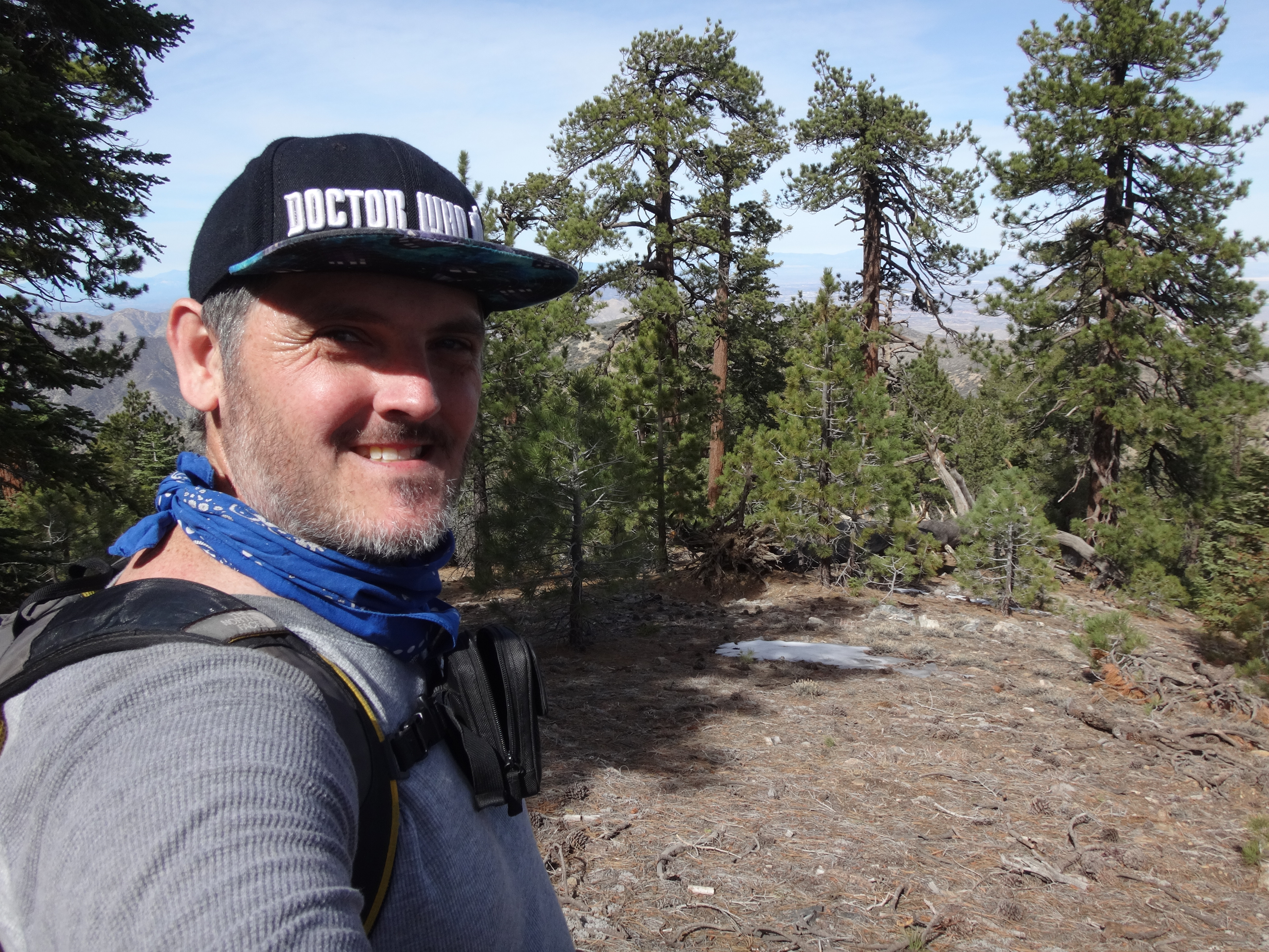
And shortly thereafter we reached the View BM (6586'), which according to the USGS map is definitely part of Pleasant View Ridge.

Image

Image

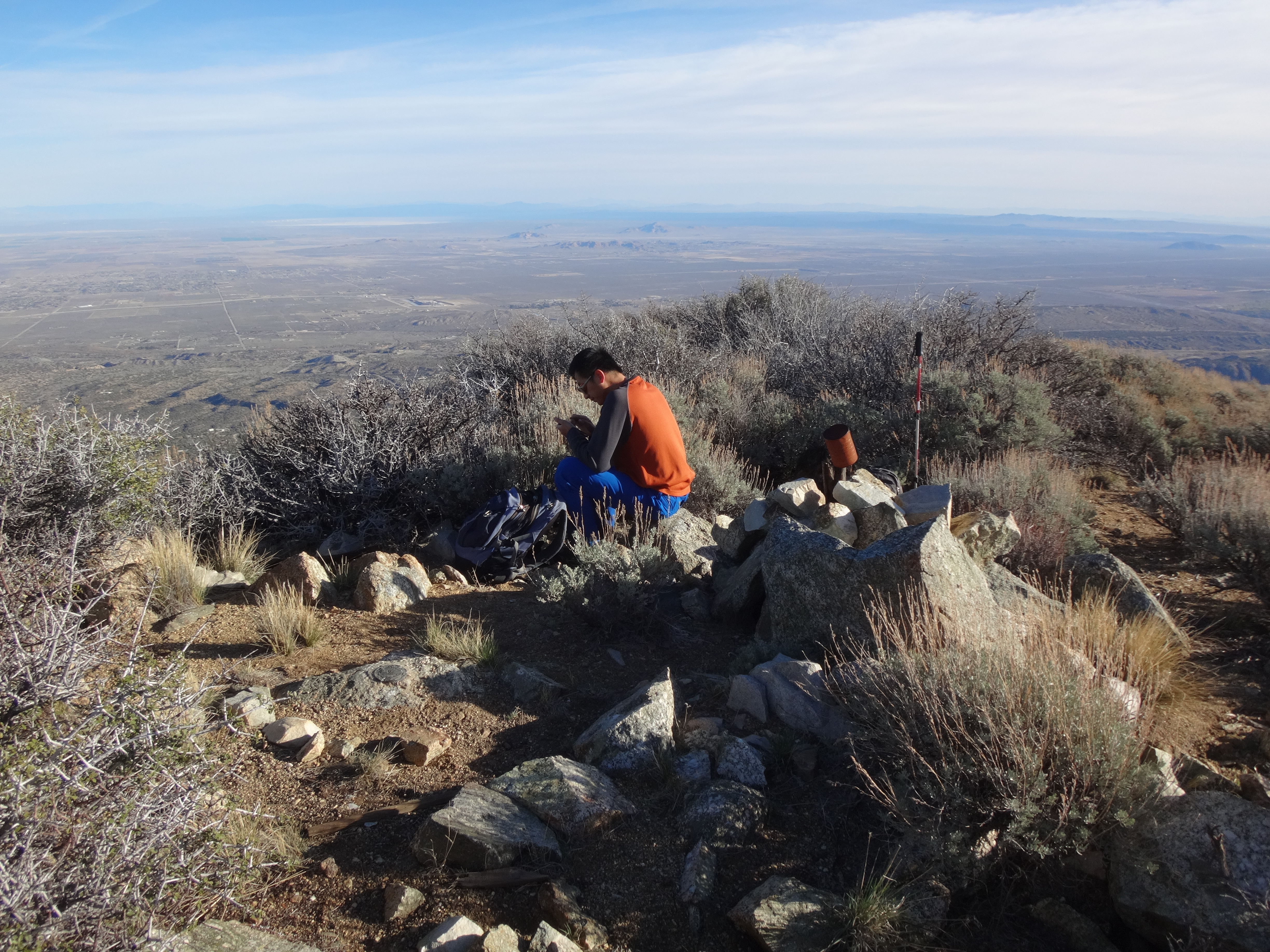
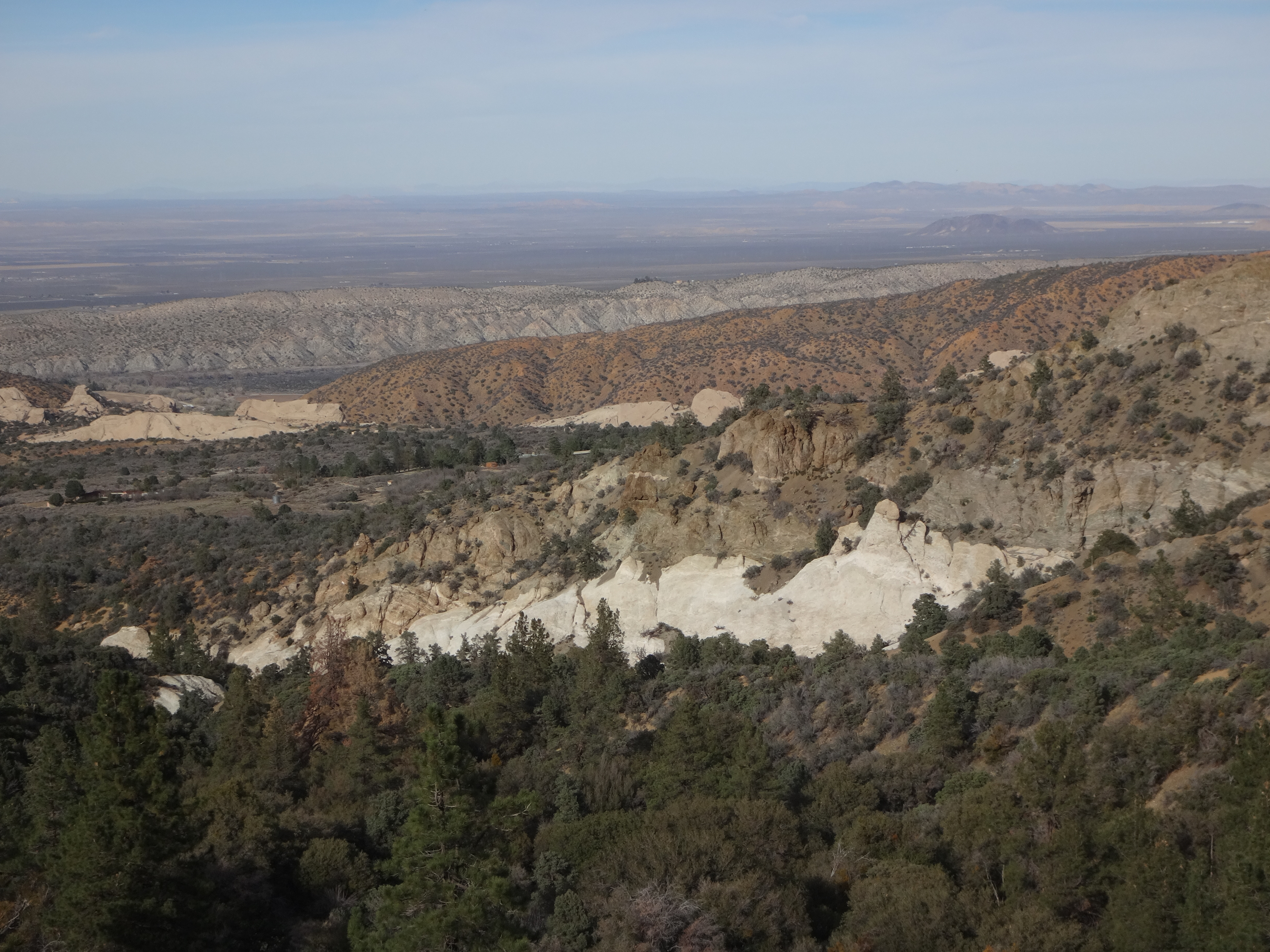
In addition to the sweeping desert vista, looking in the opposite direction revealed Bare Mountain, among other peaks.

Image

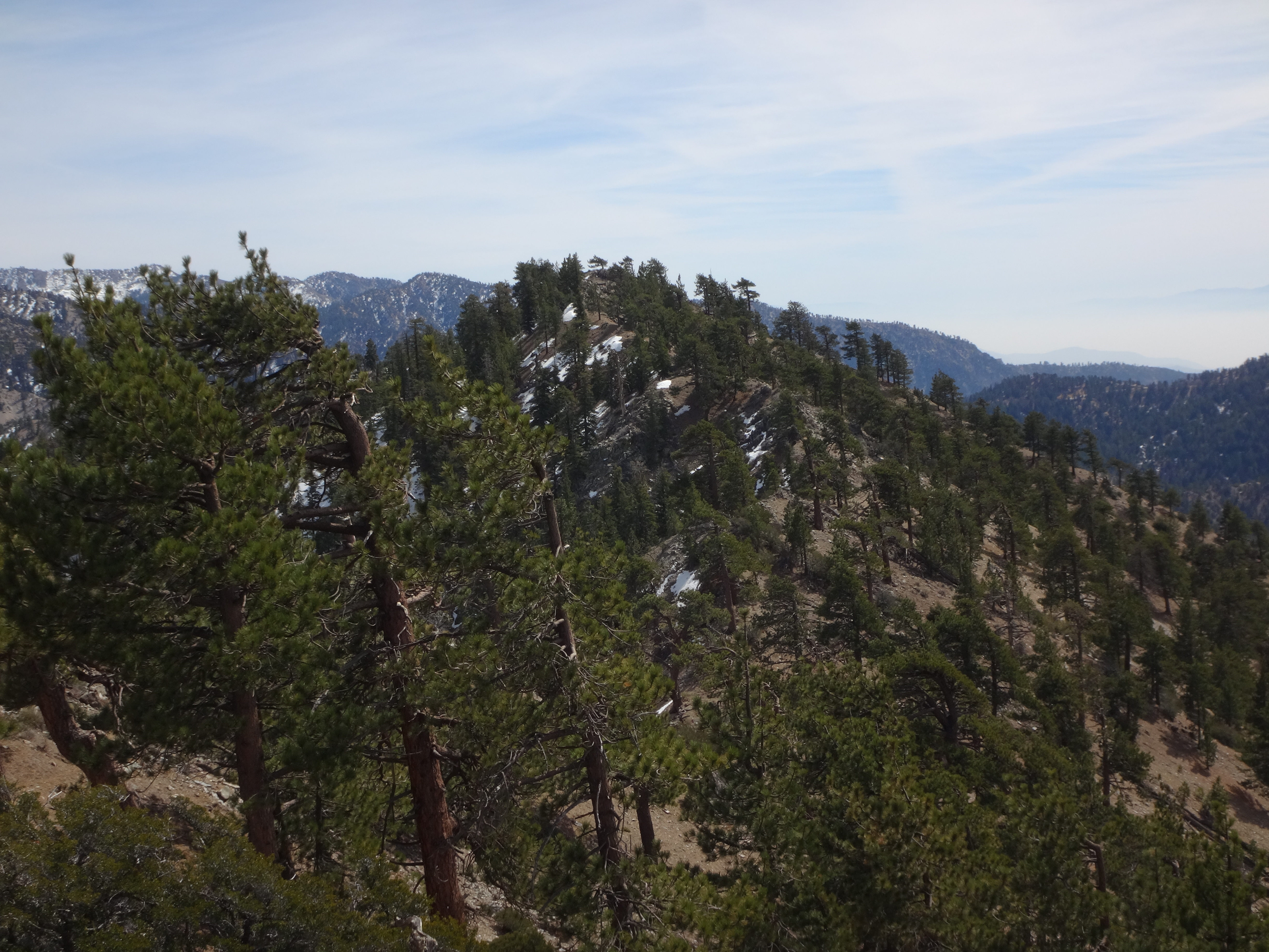
With fresh liquids and snacks in the belly, Henry and I continued up the trail, which grew a little fainter on this broad, near-flat section. After Point 7025 there was a 200-foot drop.

Image

Henry felt like contouring around the right side of the next little bump.

Image

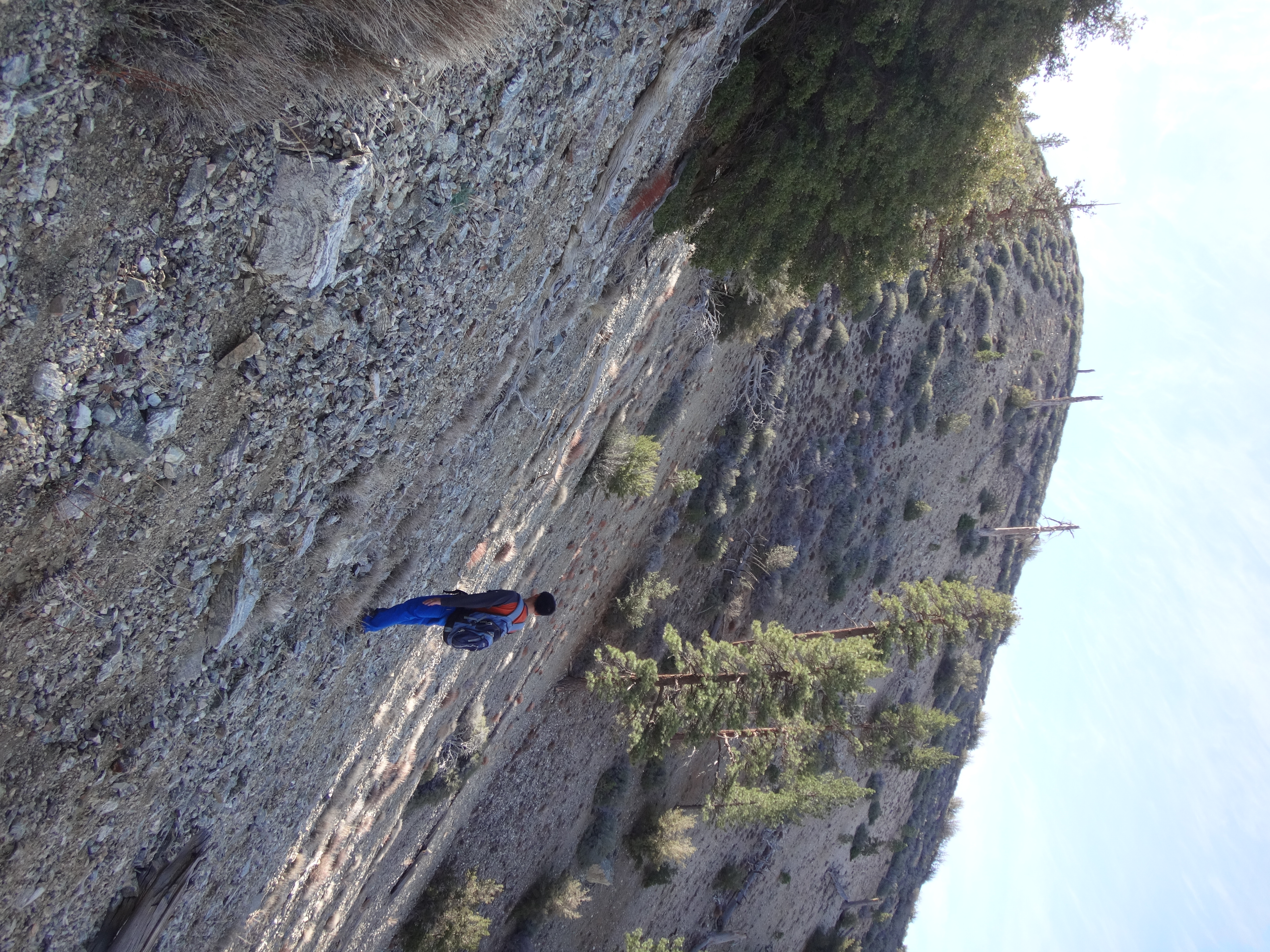
Then we encountered a lot of thorns, though they rarely required whacking. Some cairns led us through narrow openings in the scratchy vegetation, which I managed comfortably in cargo shorts.

Image

Immediately before Point 7515, a healthy thicket blocked the top of the ridge, so we skimmed across the east flank, utilizing whatever semblances of a path we could locate.

Image

Image

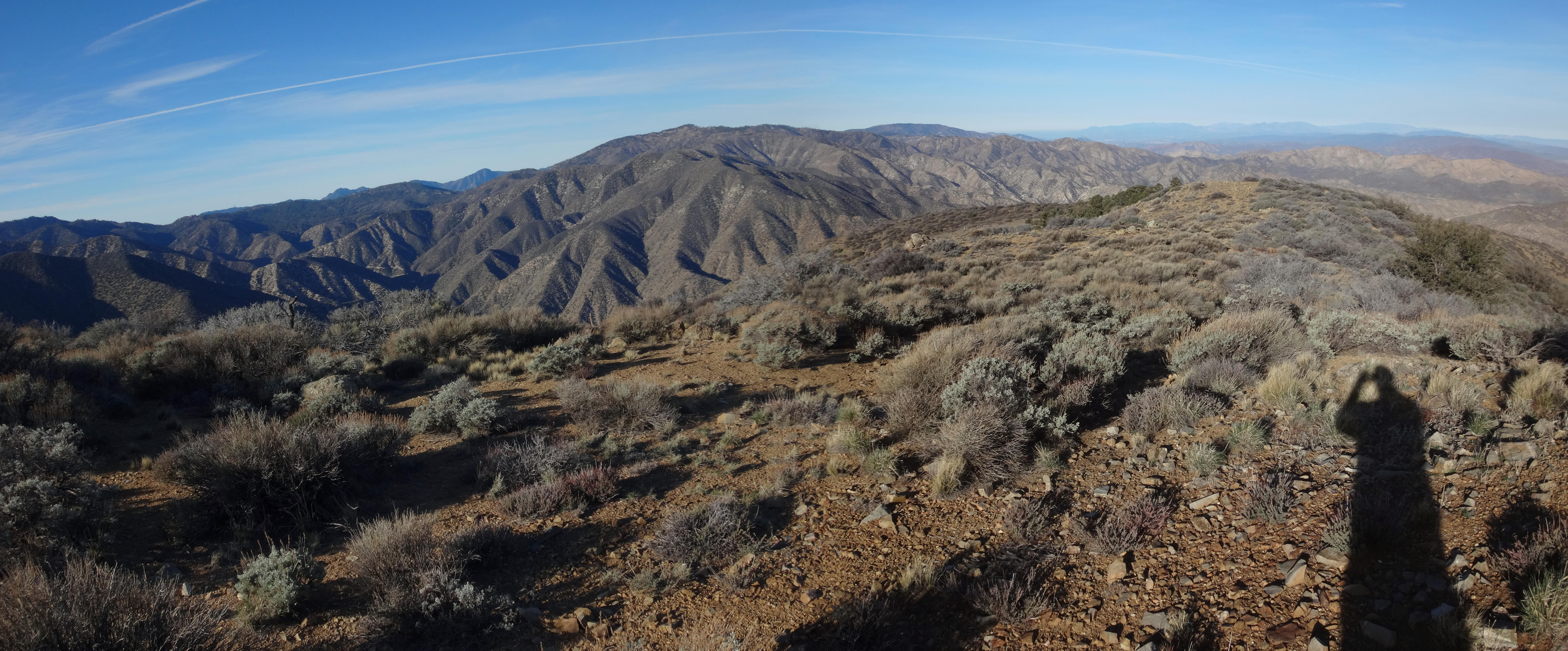
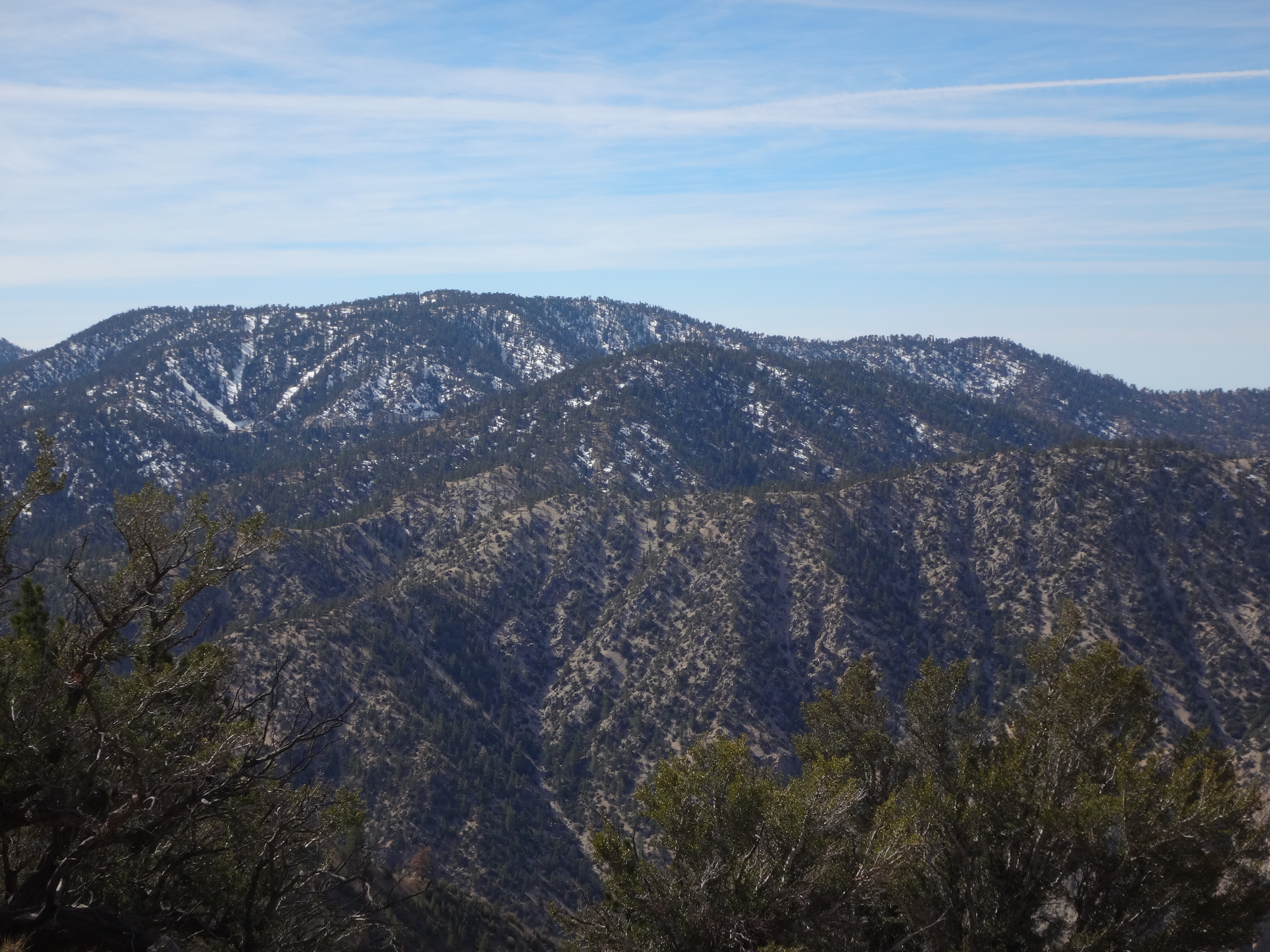
In the saddle east of 7515 we took a short break to admire the view of Waterman and Winston.

Image

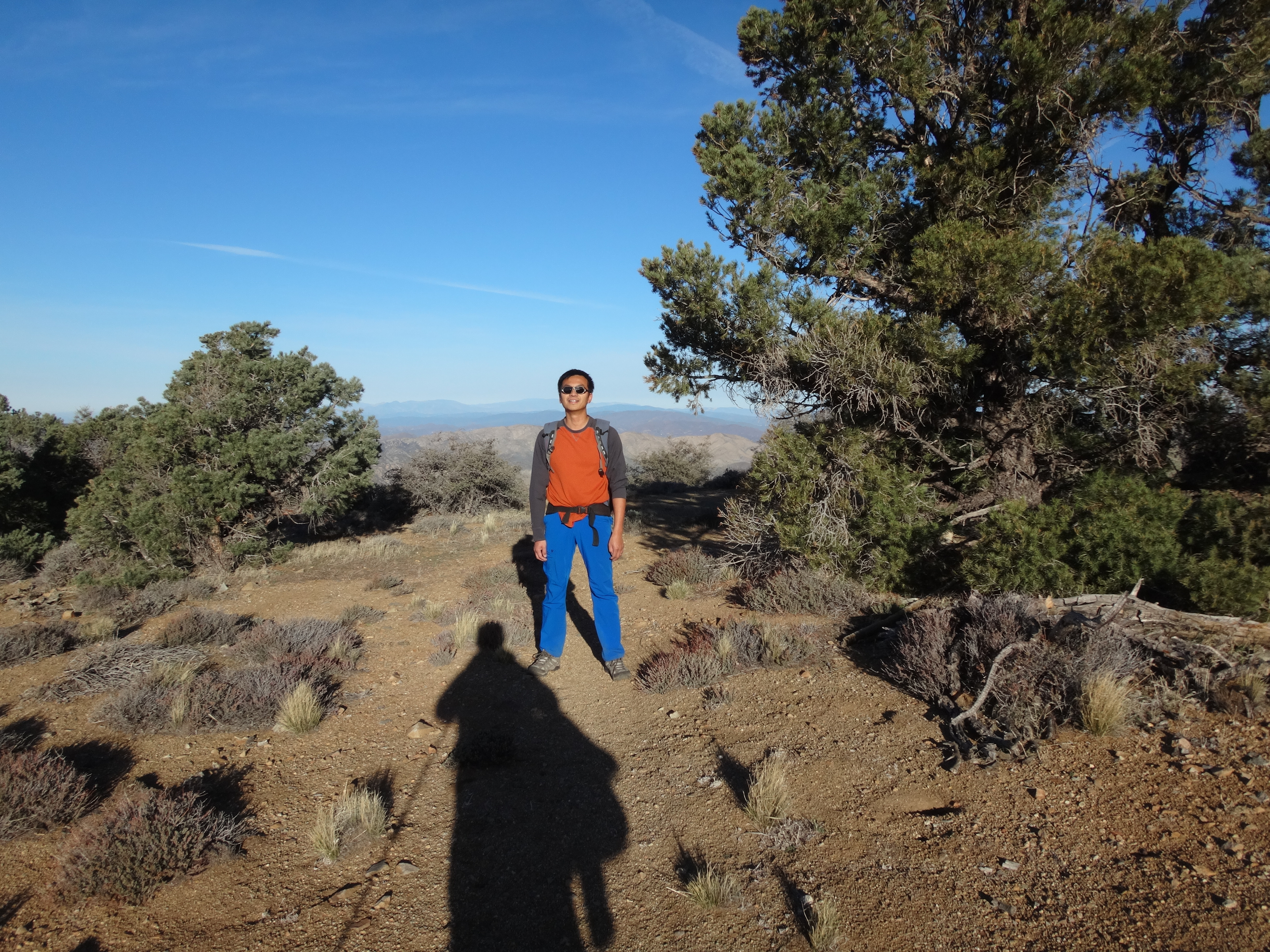
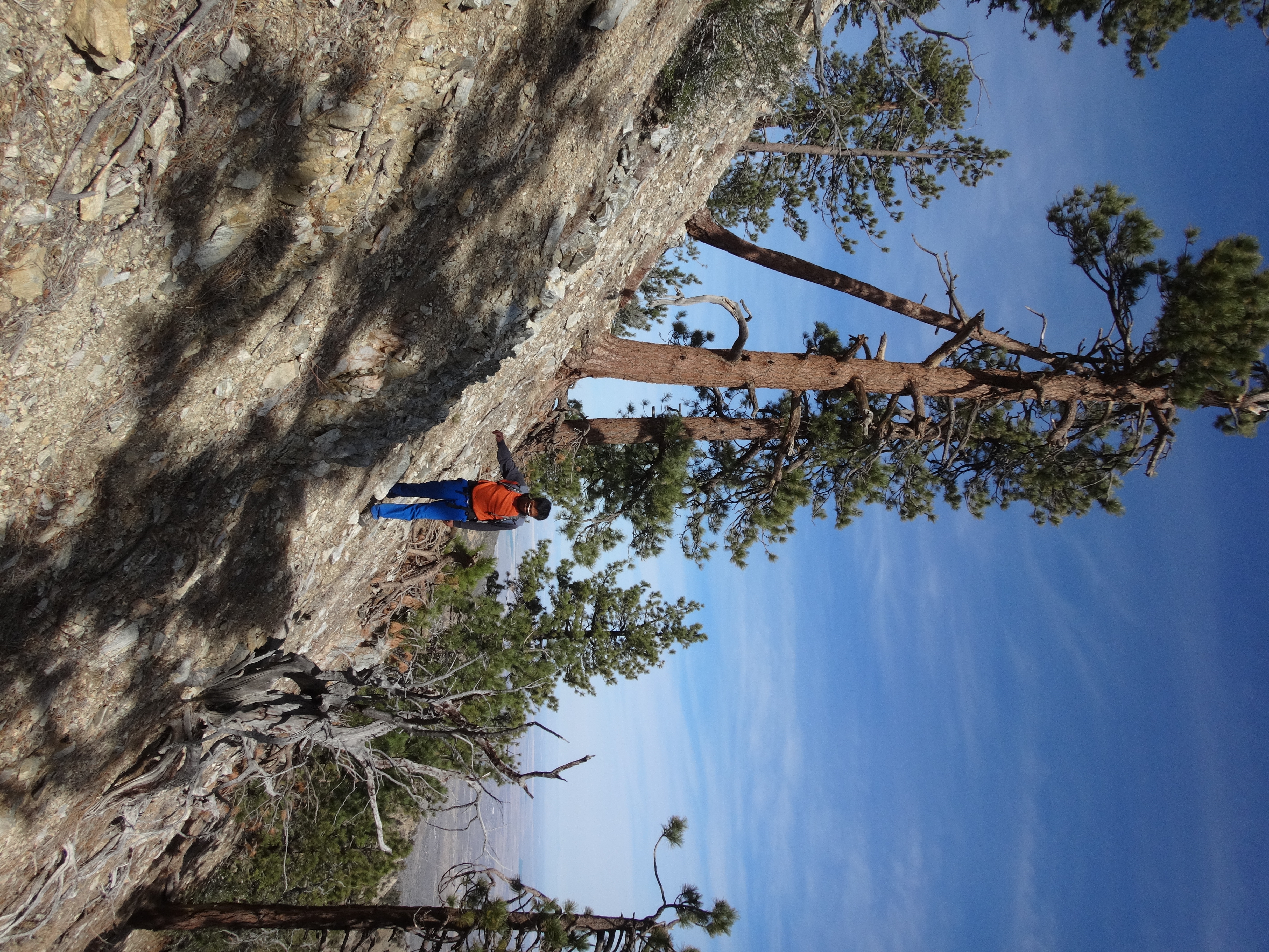
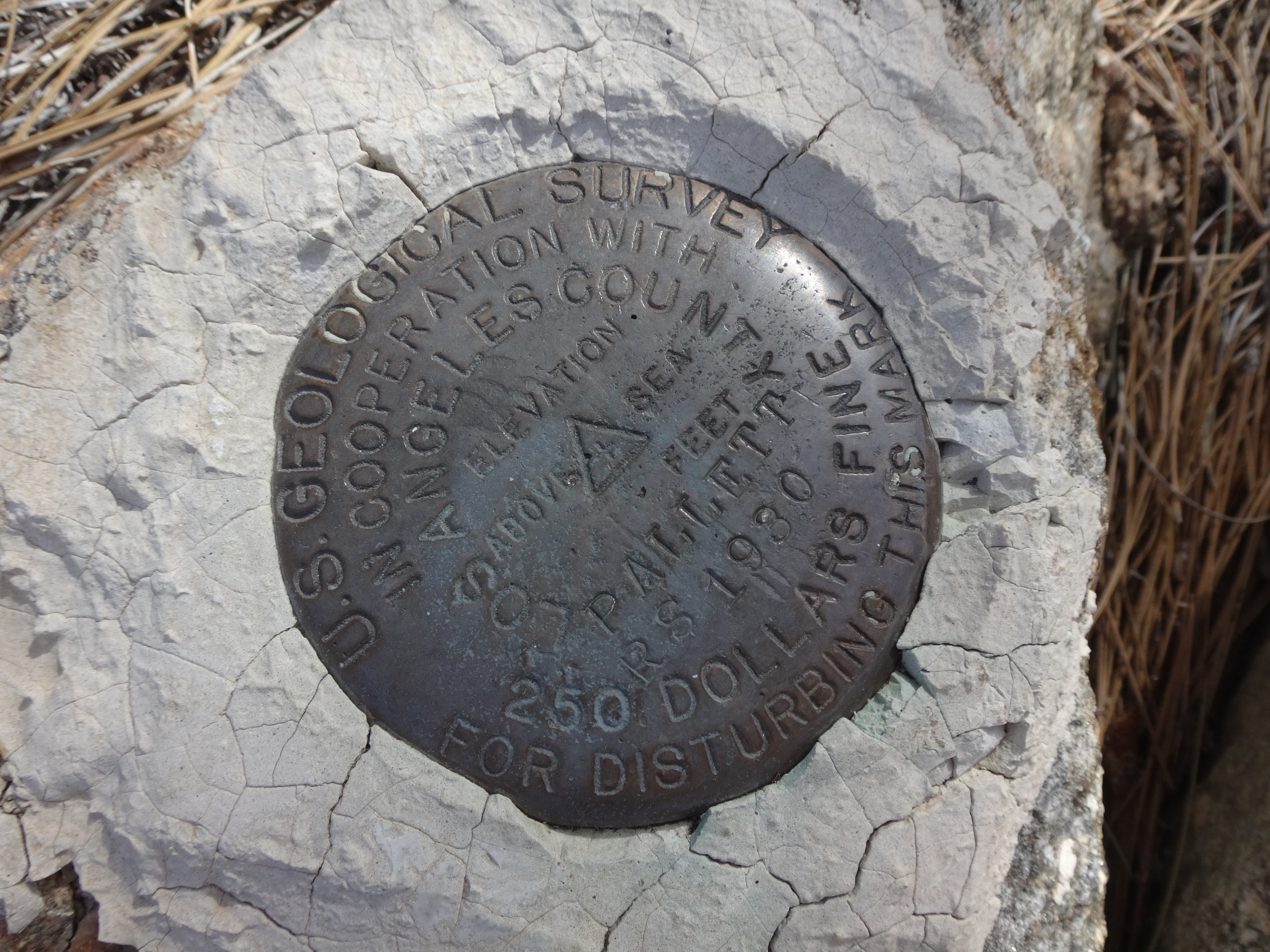
Then we headed up the gentler and opener, tree-shaded section to Pallett BM (PVR highpoint).

Image

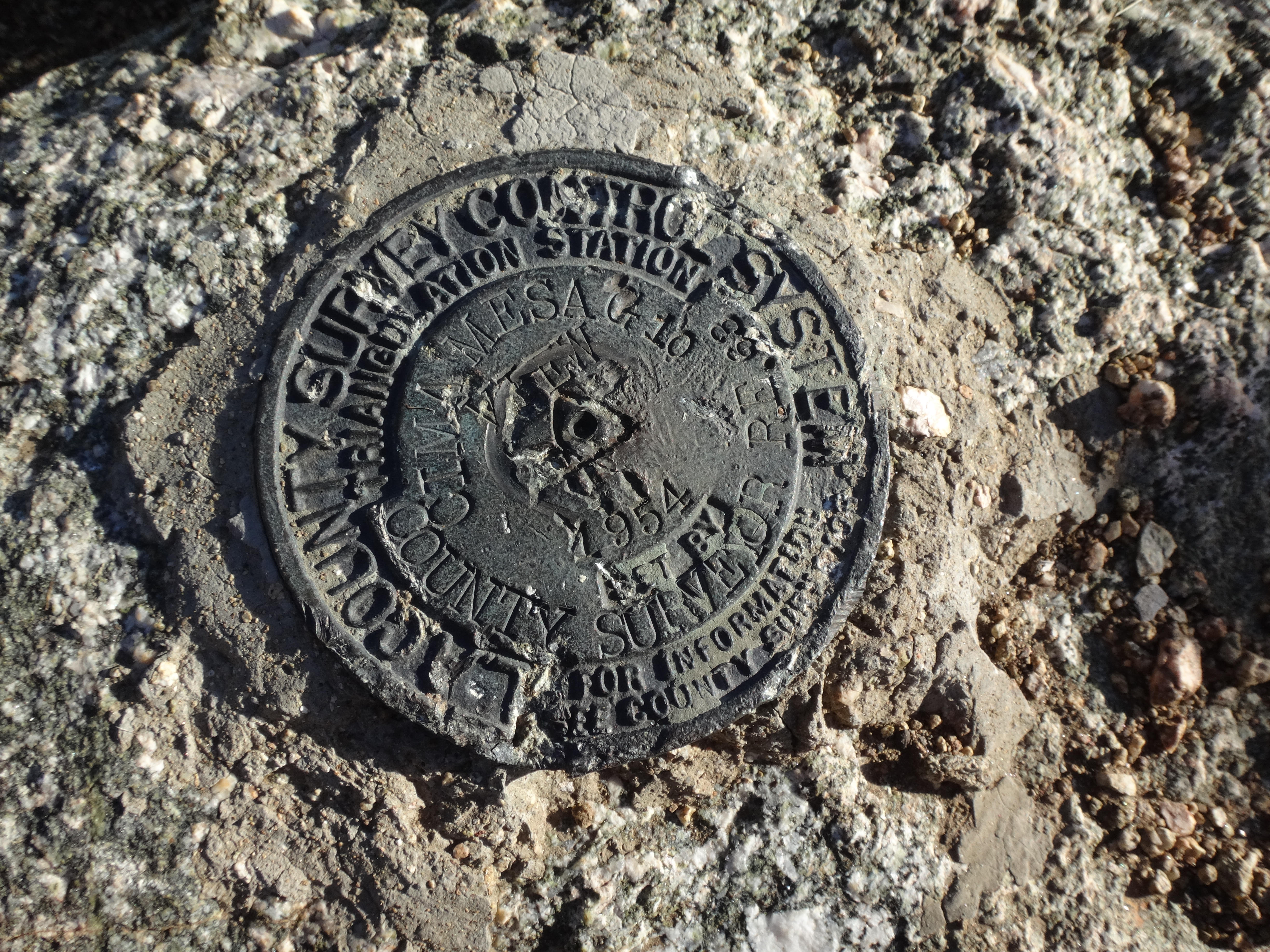
There was a USGS mark from 1930 among some rocks up there.

Image

Beautiful pine trees provided shade while we ate lunch.

Image

Unlike on View BM, there was no register at Pallett BM.

After a half hour or so, we continued traversing in the direction of Will Thrall Peak.

Image

After Thrall came Burkhart Saddle.

Image

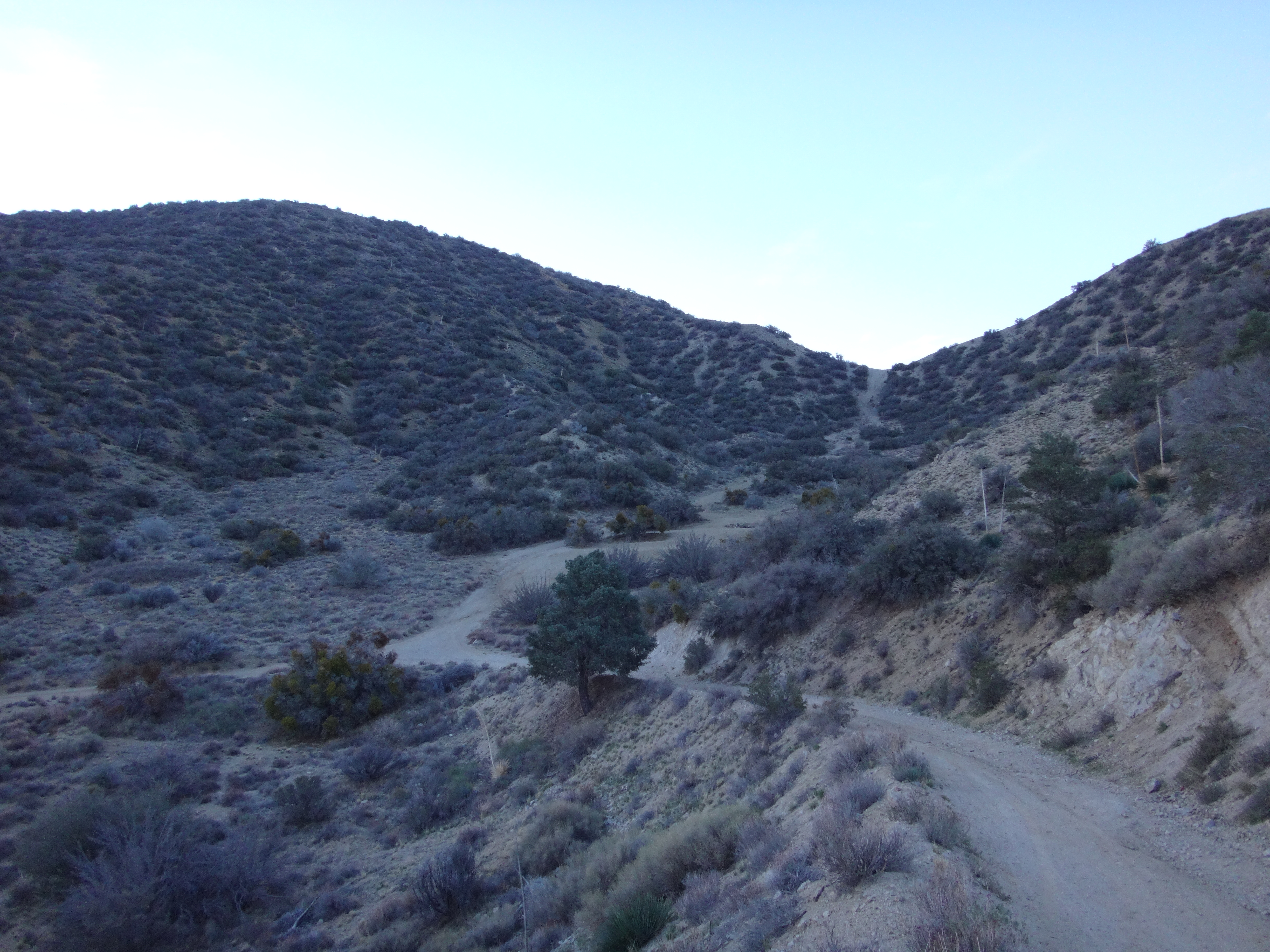
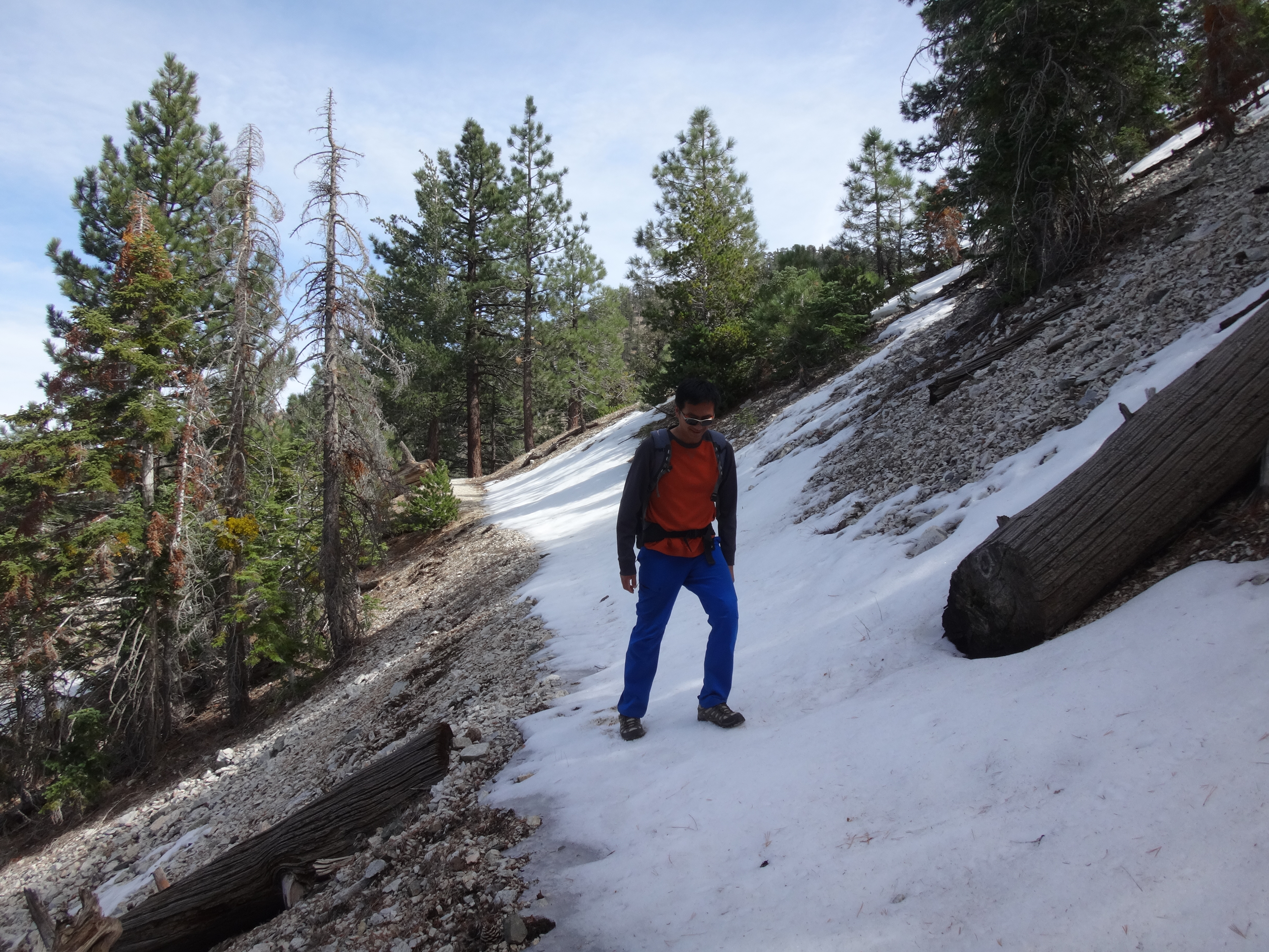
From the Saddle we dropped northward via the Burkhart Trail, which in a few spots still held some avoidable ice. Though we couldn't resist the urge to not avoid it.

Image

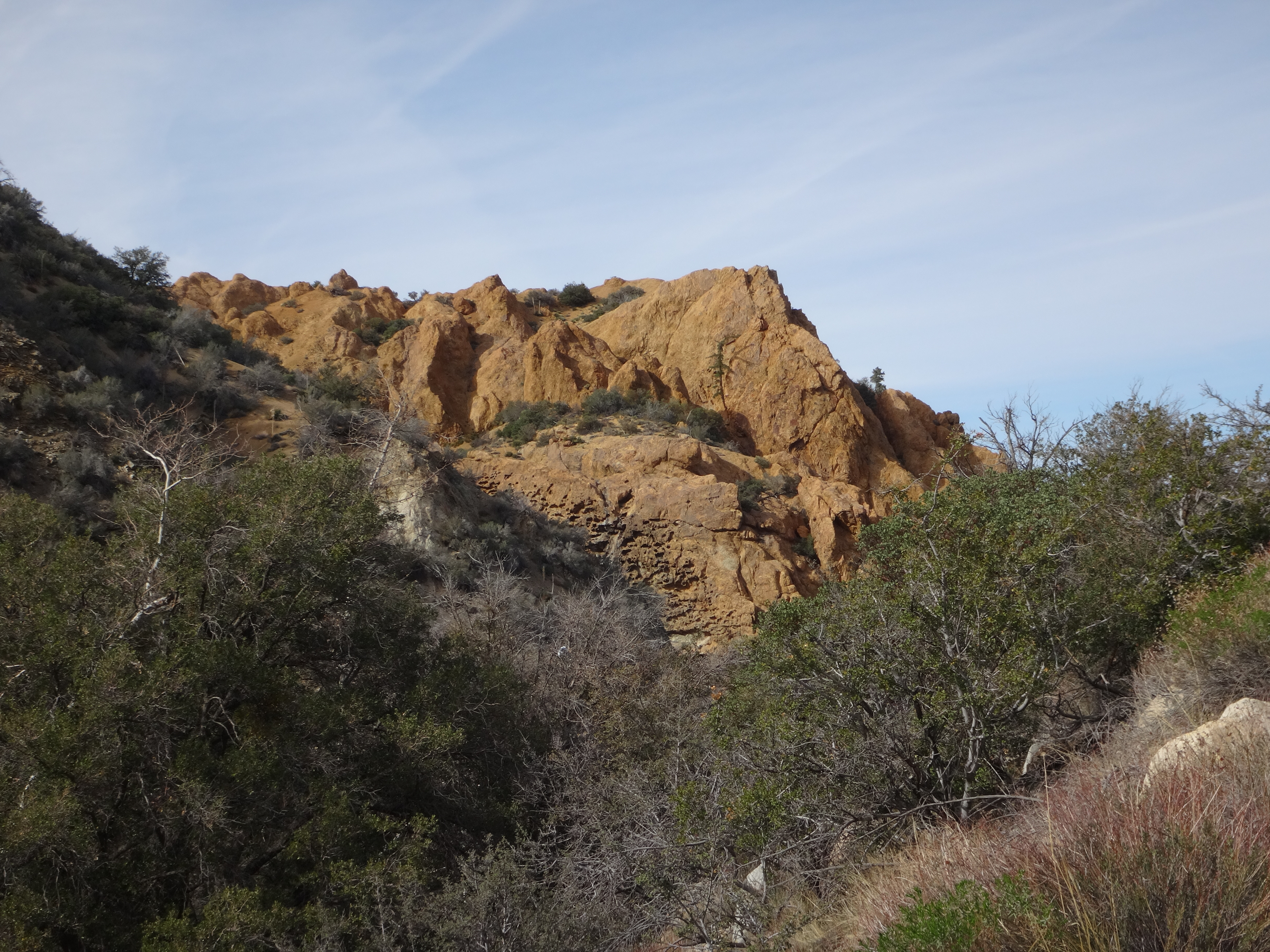
We also enjoyed the displays of rocks--not the numerous ones blanketing the footpath, but the ones beside it.

Image

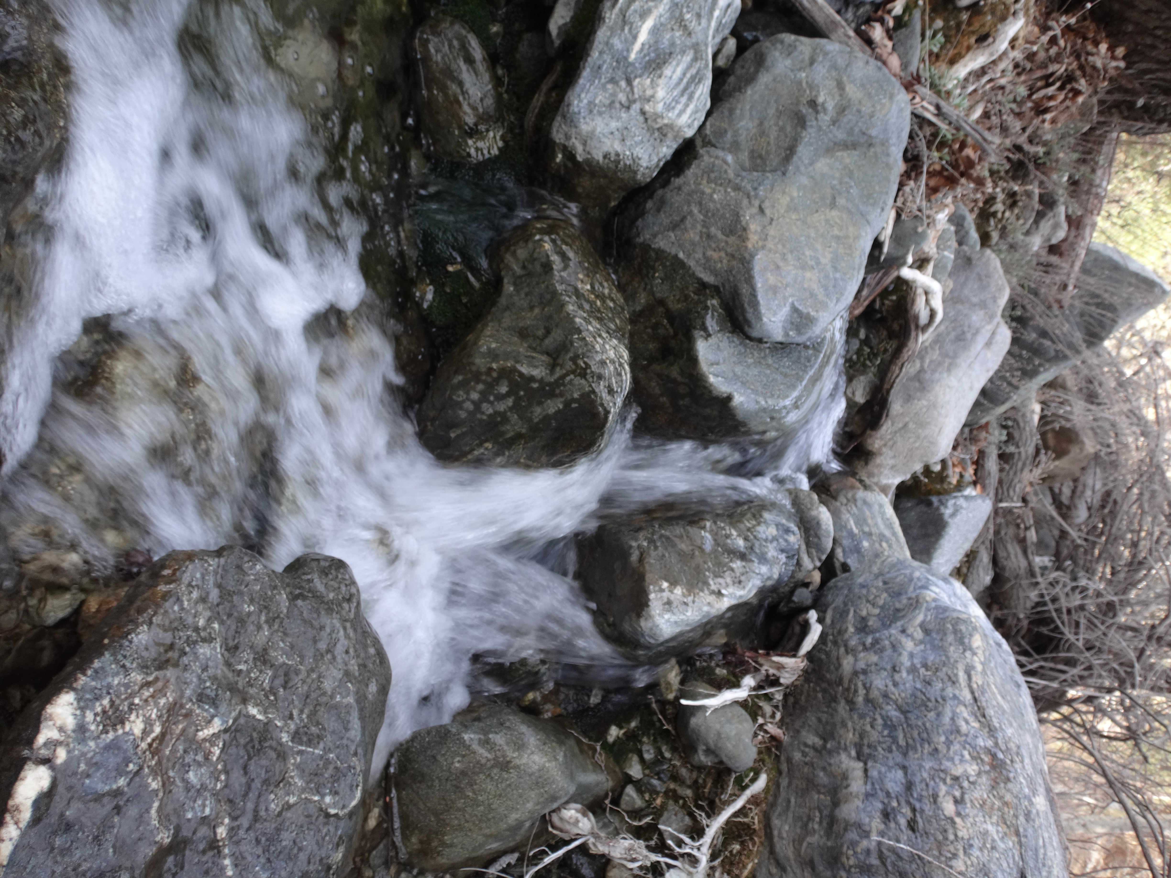
Eventually the scenic trail crossed Cruthers Creek.

Image

Image

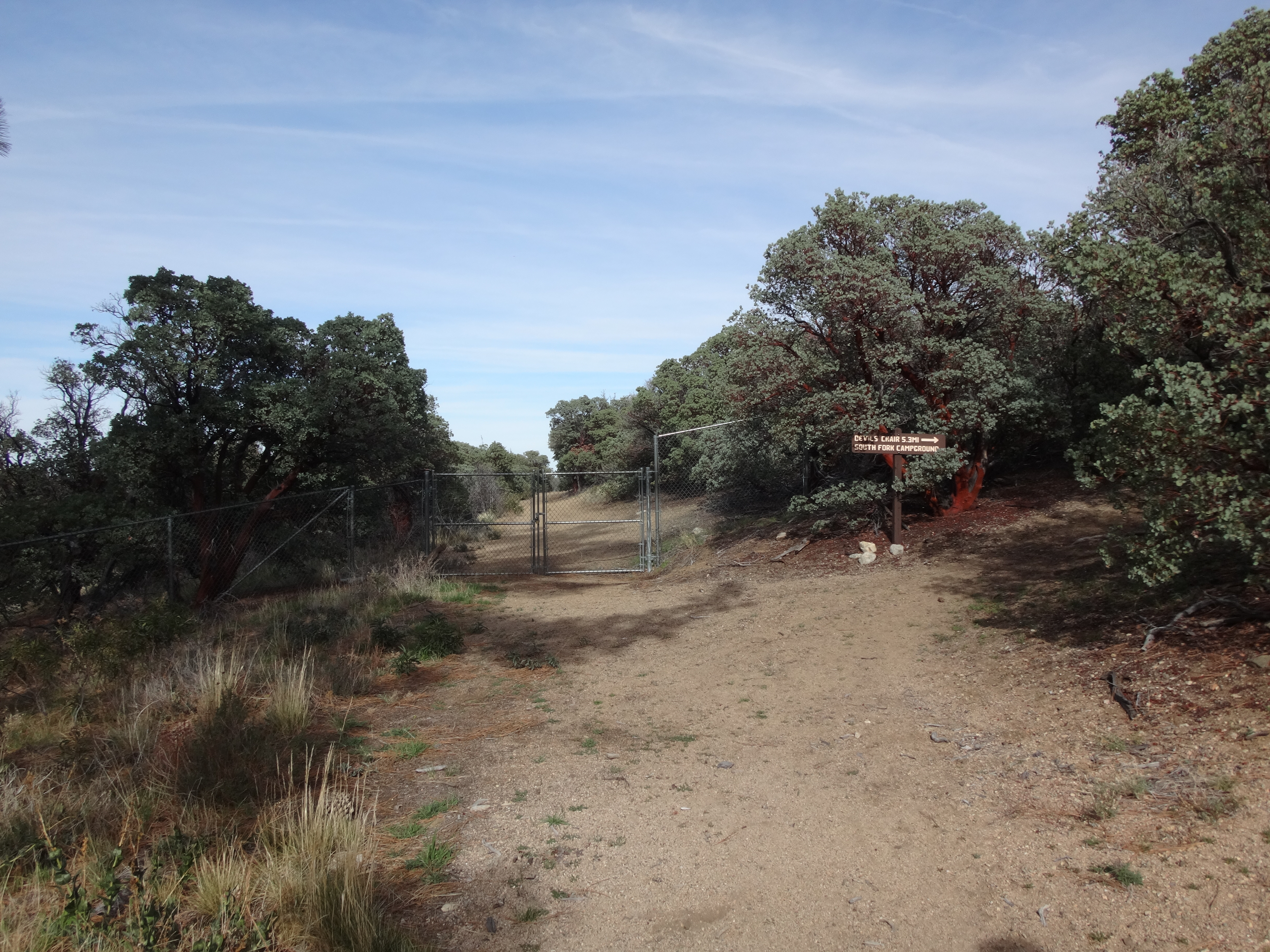
Afterward, the Burkhart Trail ended at a fenced-off dirt driveway, where the High Desert Trail continued to the right.

Image

This trail switchbacked up a ridge, adding several hundred feet of gain to the hike.

Image

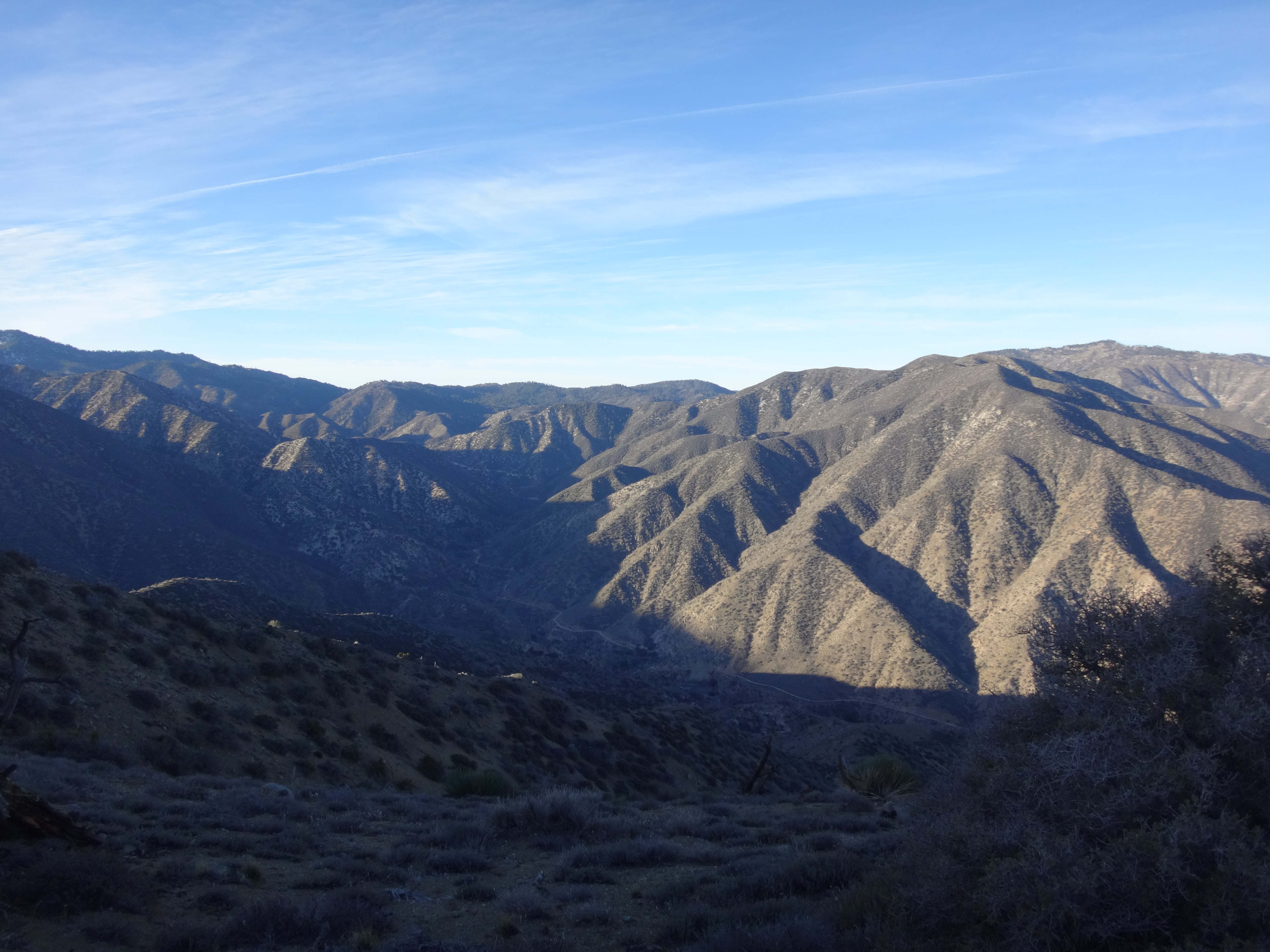
It then moved eastward, contouring in and out of several gullies, and providing great views of the Sandrocks area.

Image

Our final junction was with the fire road down to Devils Punchbowl.

Image

There were many trail signs at this spot. And one of them indicated that the High Desert Trail was now part of the PCT.

Image

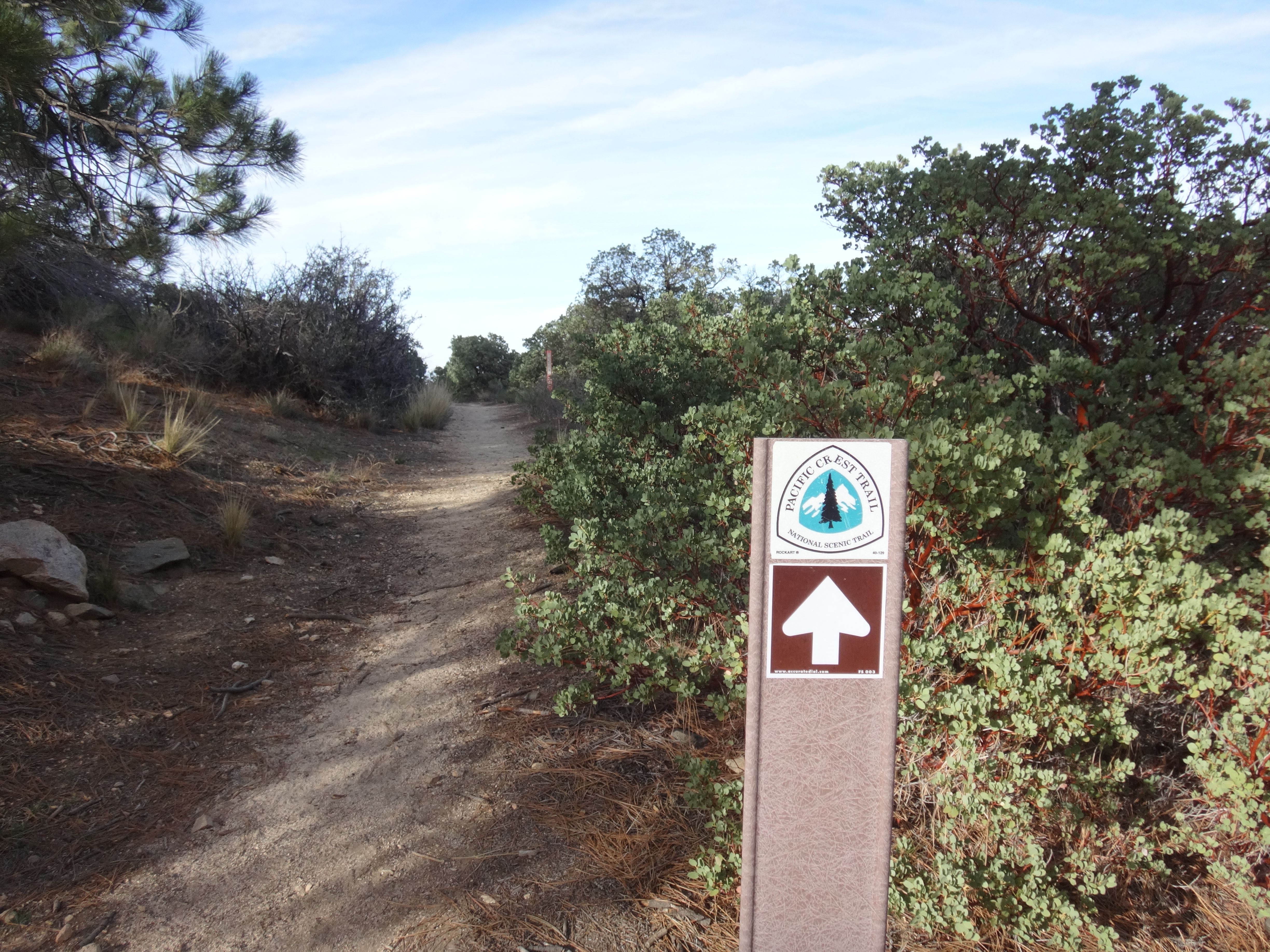
Which, I assume, means that Burkhart has also been pressed into service for the PCT. Since I'm not familiar with either trail, I don't know how recently this signage appeared. But it was the only PCT sign that we saw on either the Burkhart or the High Desert Trails.

Anyway, we then hoofed it over to the Punchbowl.

Image

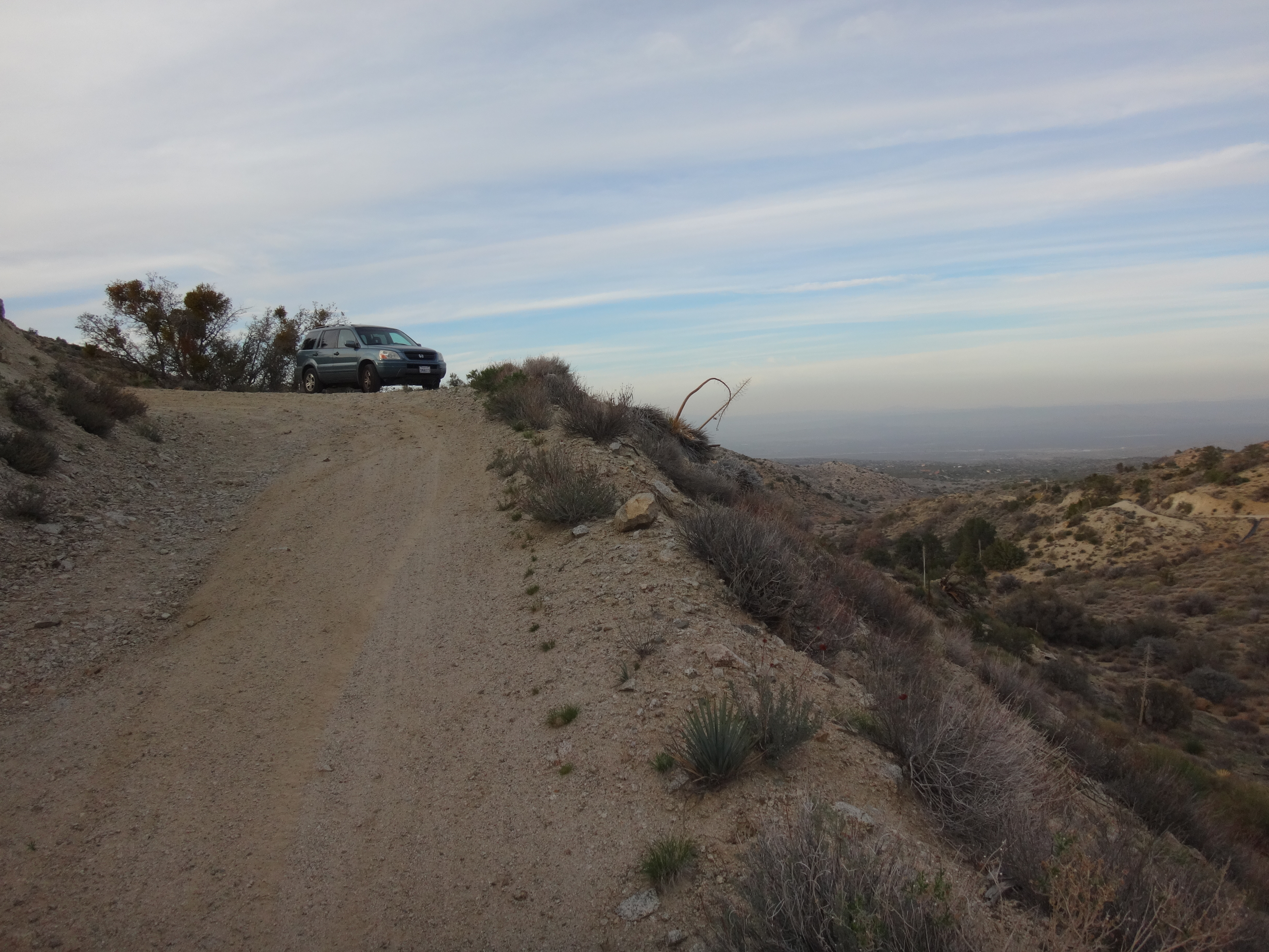
Henry then drove me as far up the bumpy Alimony Road as his low-clearance sedan could tolerate. And together we walked the remaining mile or so to my Honda Pilot.

Image
User avatar
Tom Kenney
Posts: 371
Joined: Sat Sep 29, 2007 7:51 pm

Post by Tom Kenney »

Nice pics! Thanks. I had been looking at Alimony area, but wasn't sure of access. Guess it's OK to try it out.

The PCT thing is confusing. Are they going to use Burkhart/HDRT to avoid the Williamson Rock area? (Long-running toad habitat controversy there.) That would be a seriously long and stupid detour, and might impact bicycle access to Burkhart/HDRT. That's one of my favorite rides!
User avatar
anarchist
Posts: 75
Joined: Sat Jan 04, 2014 7:57 am

Post by anarchist »

Thanks for the report on PVR. Good to hear that Alimony provides access to PVR as well.

Like Tom I've been curious about changes in bike restrictions due to pct rerouting. If south fork to high desert to burkhart is now the official pct. Then would any portion of the former pct between Islip saddle and the intersection with burkhart not in the Williamson closure be open to mountain bikes? Thoughts?
User avatar
Sean
Cucamonga
Posts: 3787
Joined: Wed Jul 27, 2011 12:32 pm

Post by Sean »

anarchist wrote: Thanks for the report on PVR. Good to hear that Alimony provides access to PVR as well.

Like Tom I've been curious about changes in bike restrictions due to pct rerouting. If south fork to high desert to burkhart is now the official pct. Then would any portion of the former pct between Islip saddle and the intersection with burkhart not in the Williamson closure be open to mountain bikes? Thoughts?
I believe bikes are prohibited in federally designated Wilderness areas. And the section south of Mt. Williamson is part of the PVR Wilderness. But the one mile to Eagles Roost is fair game, I'd say. Is that bit even walkable anymore?

Also, after reading about the PCT detour, it doesn't affect the stretch between Vincent Gap and Islip Saddle, since they drop down the South Fork Trail to get to the Punchbowl. So I'll edit that junk out of the original report to avoid confusion.
User avatar
anarchist
Posts: 75
Joined: Sat Jan 04, 2014 7:57 am

Post by anarchist »

True about the wilderness from Islip west to the other side of the tunnels. The one mile from there to eagle roost is indeed walkable and possibly my favorite mile in the crest area.
User avatar
Uncle Rico
Posts: 1402
Joined: Thu Mar 20, 2008 7:48 pm

Post by Uncle Rico »

A couple of friends and I were up on the High Desert Trail below Burkhart on Sunday. That snowy, off-camber exposed section scared us like the little bitches that we are so we didn't cross it. :oops: I'll try to post a few pics this weekend.

I saw the PCT signage as well. I figured it was temporary while the detour is in place, although I think most PCTers just walk the ACH from Eagles Roost to Buckhorn (in the past 2 years I've only met 2 PCT through-hikers who took the official detour). I did see MTB tread along the HDT between Devil's Punchbowl and Cruthers Creek for whatever that is worth and didn't see signs prohibiting MTBs.
User avatar
tekewin
Posts: 1195
Joined: Thu Apr 11, 2013 5:07 pm

Post by tekewin »

That looks like a long trip through very nice, mostly friendly country. That area is still a mystery to me. Winston Peak is probably the closest I've been. Thanks for all the great photos.
User avatar
Sean
Cucamonga
Posts: 3787
Joined: Wed Jul 27, 2011 12:32 pm

Post by Sean »

I suggest starting with the Burkhart Trail out of Buckhorn to the Saddle. It's very scenic in there. Then from the saddle you climb westward to Thrall and Pallett BM. Then return to the saddle and go eastward to Pallett Mtn. One of the best trips around.
User avatar
tekewin
Posts: 1195
Joined: Thu Apr 11, 2013 5:07 pm

Post by tekewin »

Thanks. Saving this suggestion for a future trip.
Post Reply