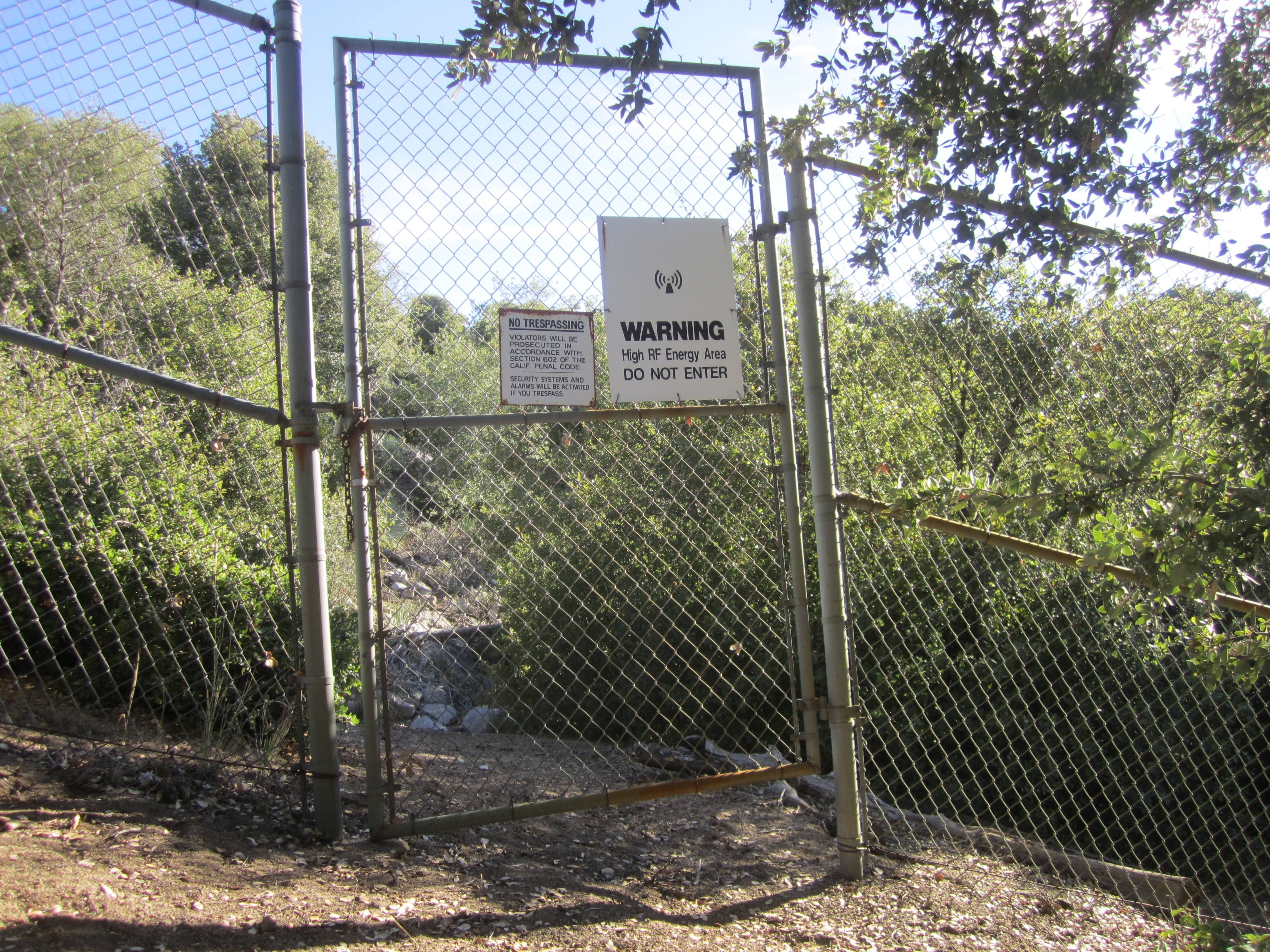
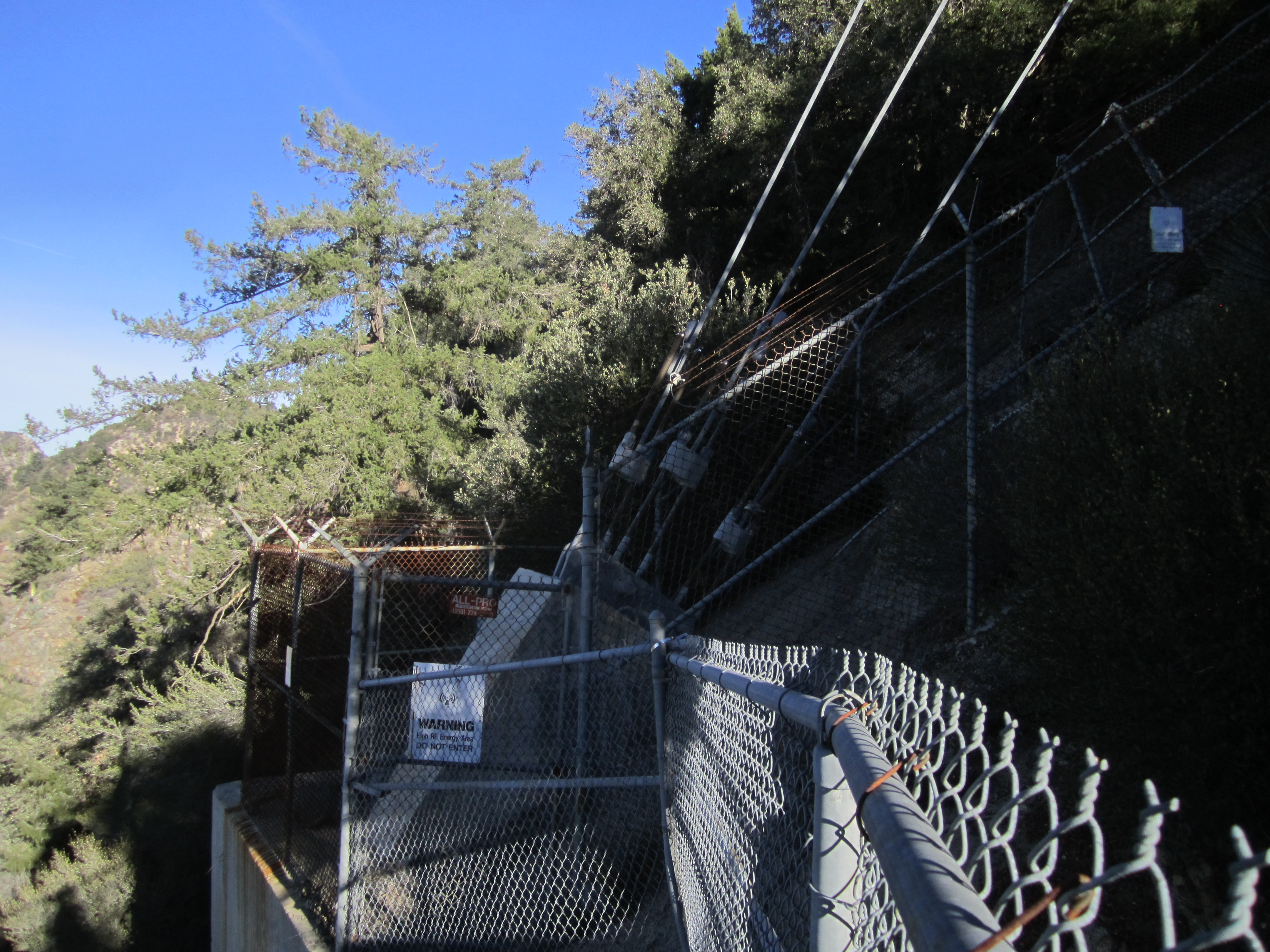
After parking at a sort-of turnout next to the driveway for the most western tower complex (K-CBS), we looked for signs of a use trail along the ridge. Unfortunately, we hadn't sufficiently studied our homework and probably made the hike more difficult than necessary by choosing to skirt the property line along the south side of the fence. In hindsight, following the north fence is probably much easier.
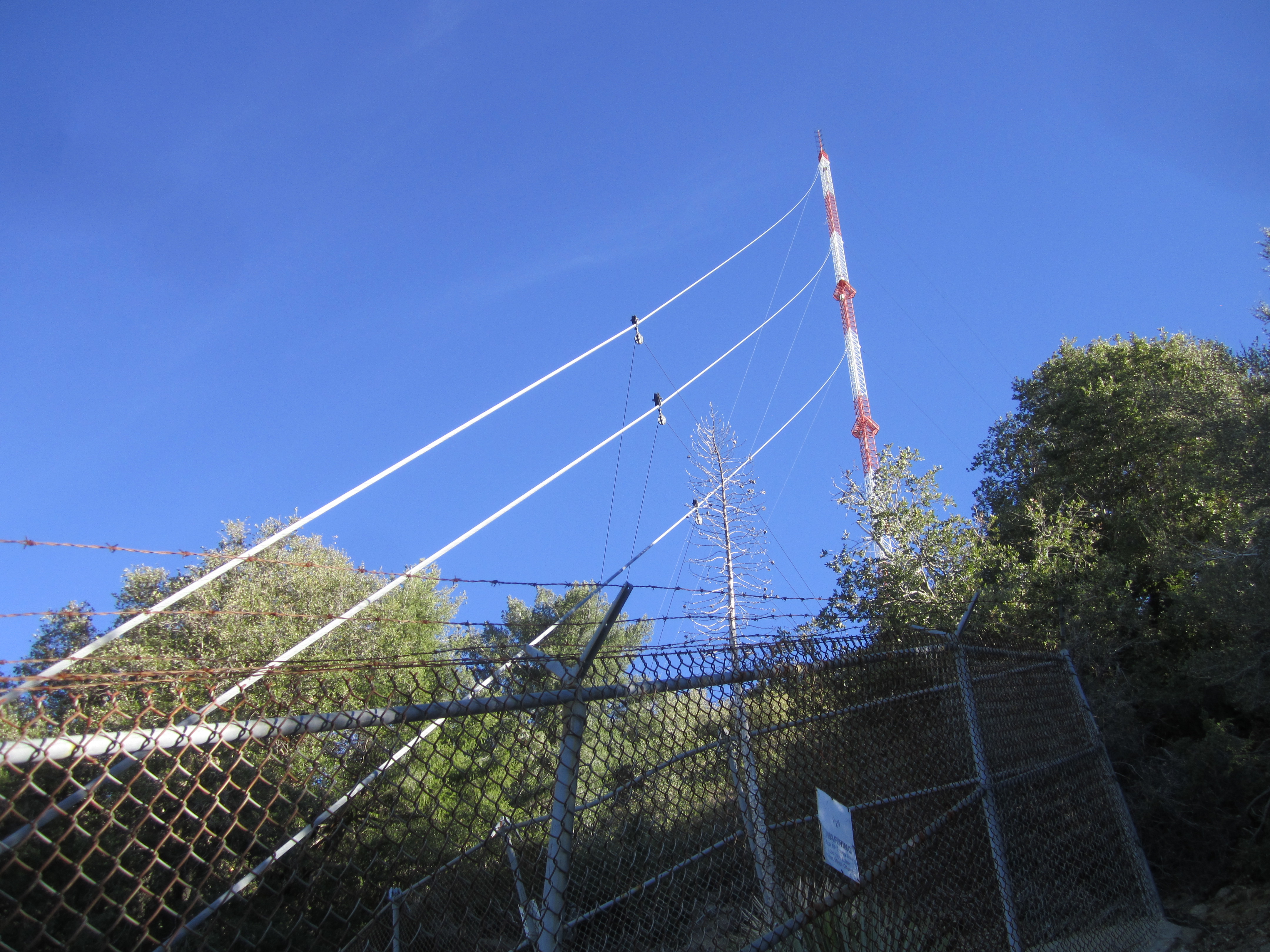
After pushing through some brush, we came upon a stepped and railed path which led downward to an impressive support anchor for the tower.
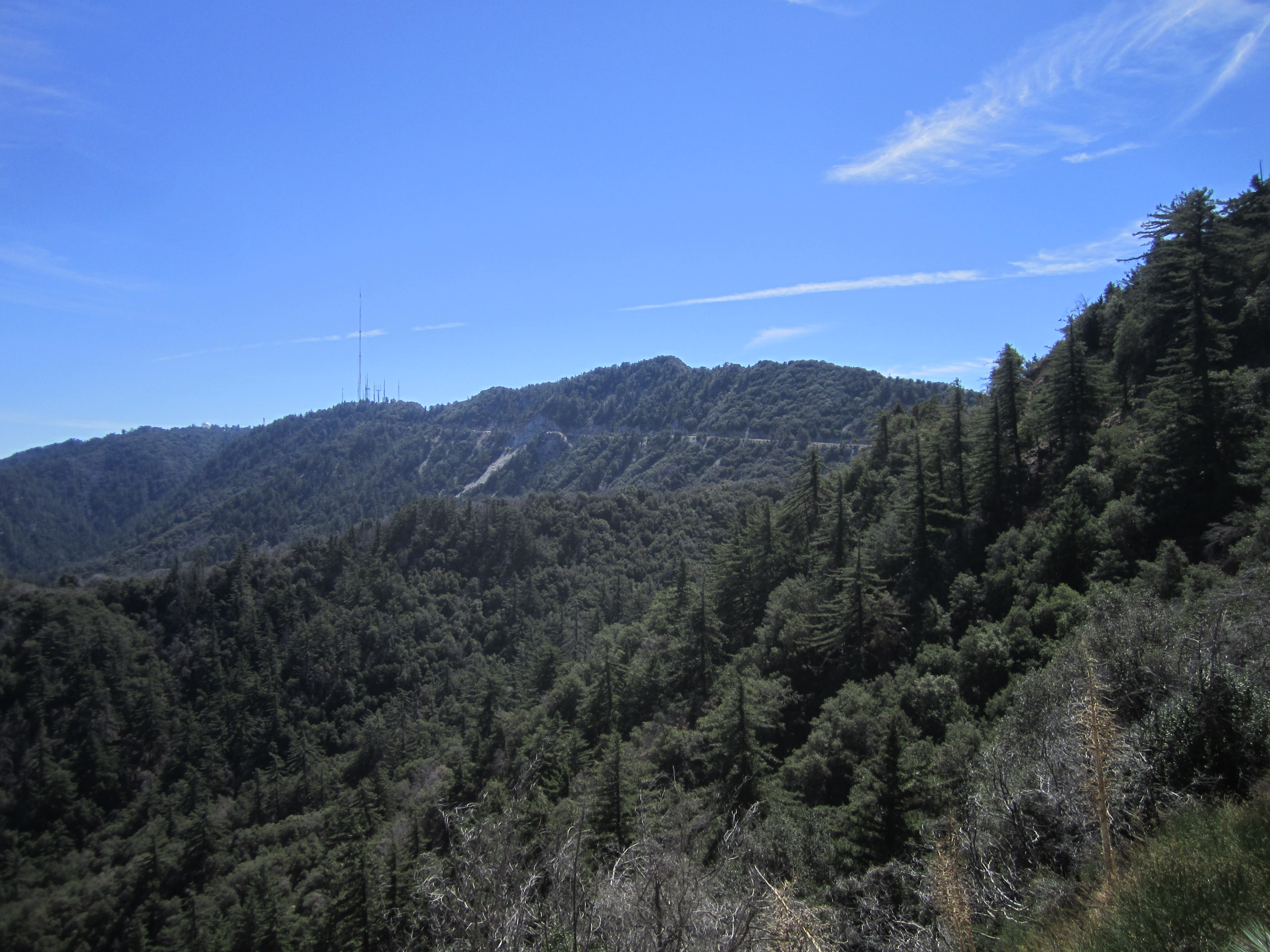
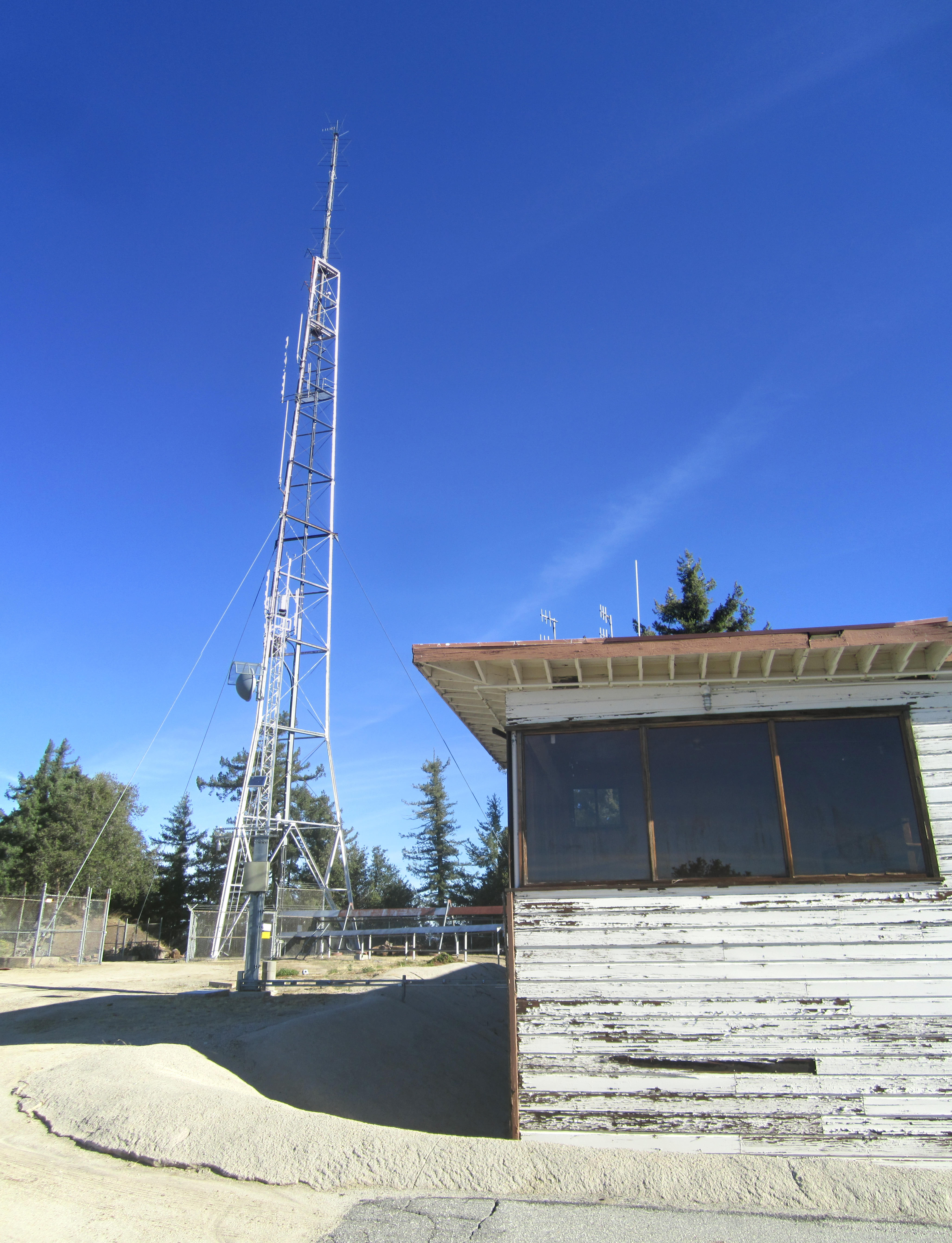
Back up the steps, we continued westward in pursuit of Occidental Peak. The path gave out, and we found ourselves side-hilling across very steep and loose junk. Eventually the slope proved to be too dangerous. We scrambled to the ridgetop and found ourselves still within the tower complex, this time at an apparently defunct building and smaller tower. These proved to be the last structures on the west end of Mt. Wilson.
There was a final fence to bypass, a helipad to cross, and at last the real use trail to pick up.
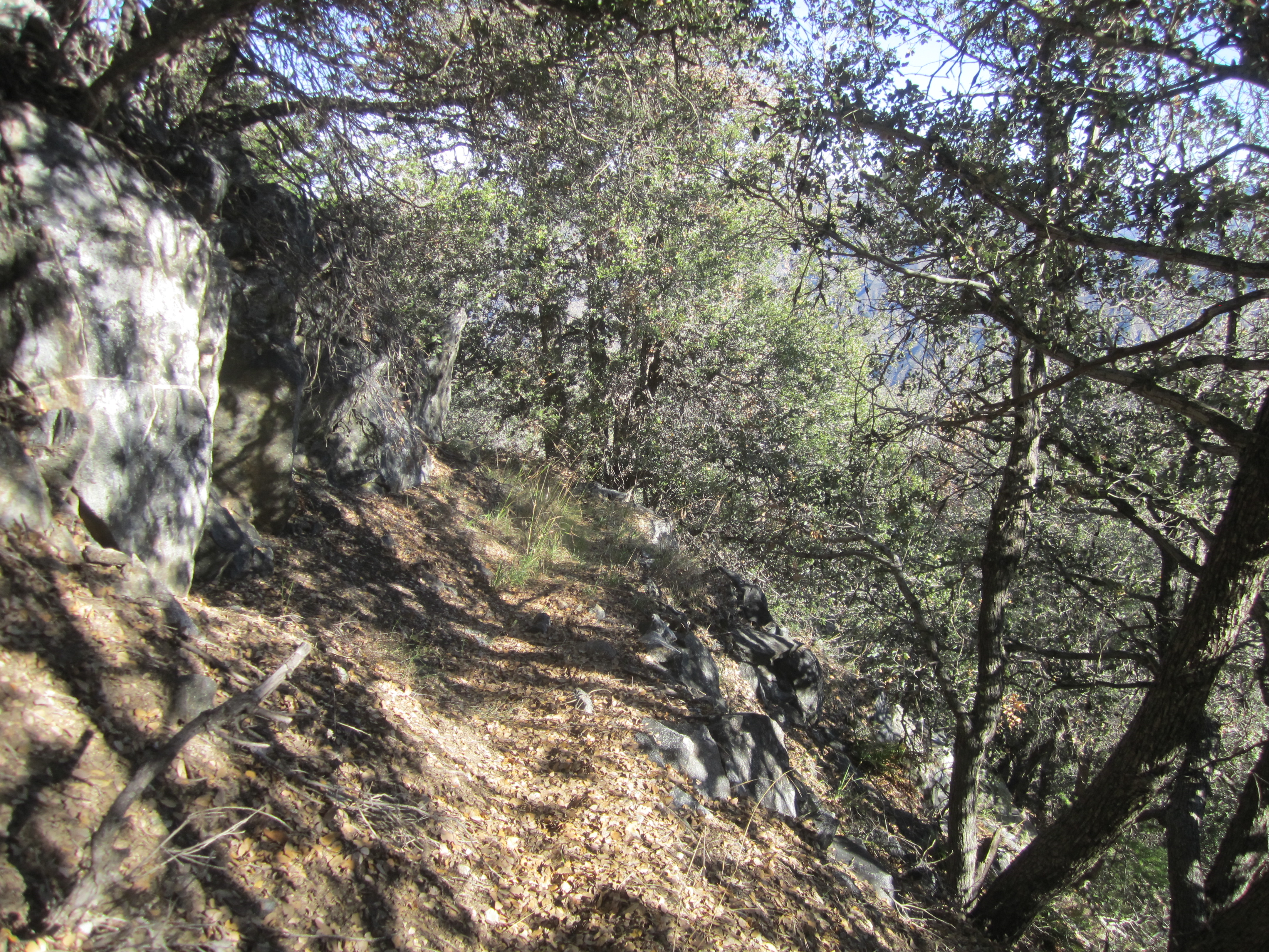
The path descended a little, running along the north slope of the ridge, bending toward a saddle. It then bypassed a small bump before climbing a short distance to the rather unremarkable summit, which was covered in rocks and brush and offered no great views.
Dima and Hank found a small spot tucked between the tall brush, where they could sit and drink some water.
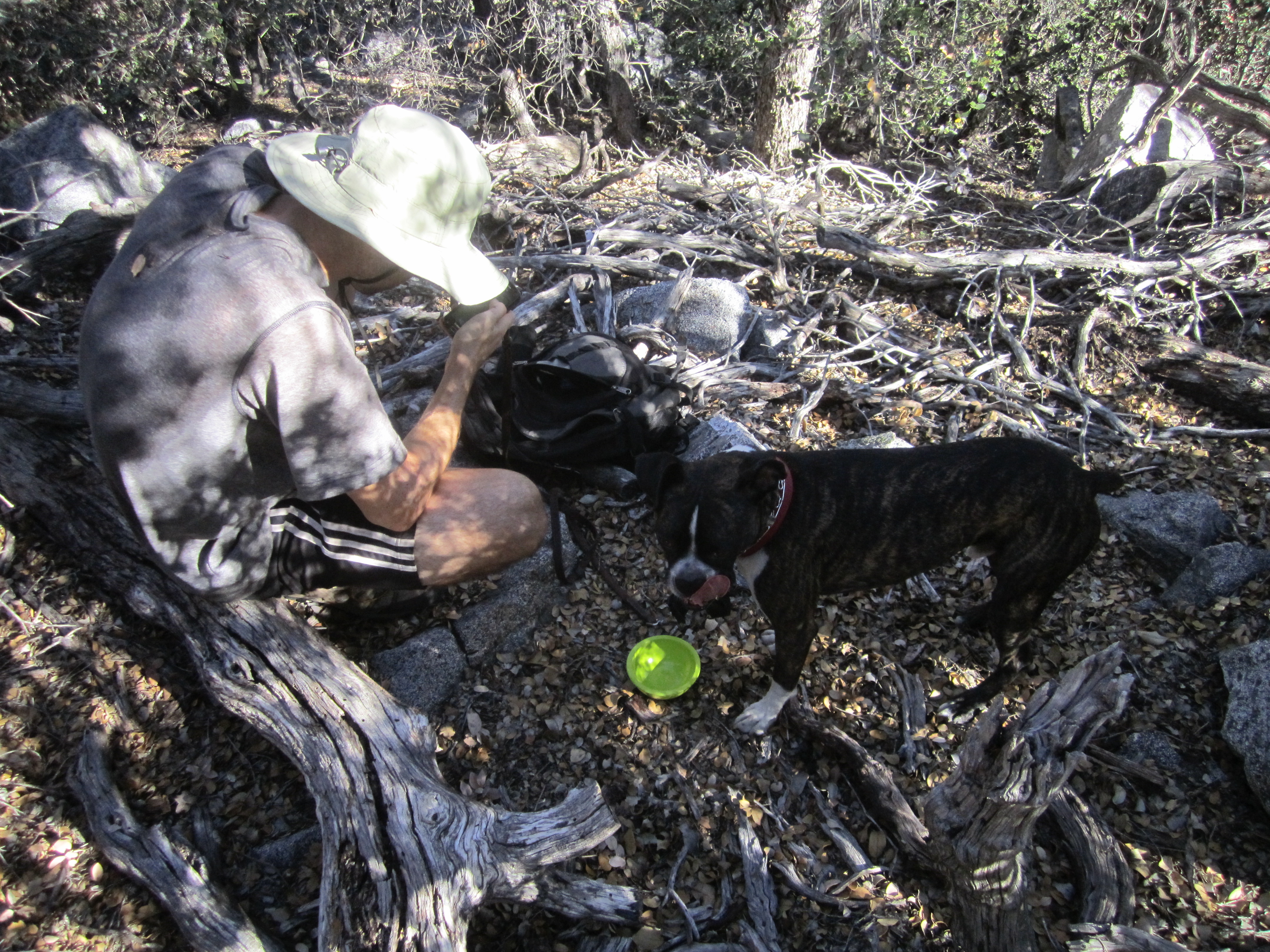
A search of the summit turned up part of a plastic bag and a piece of an energy bar wrapper. But no register could be found.
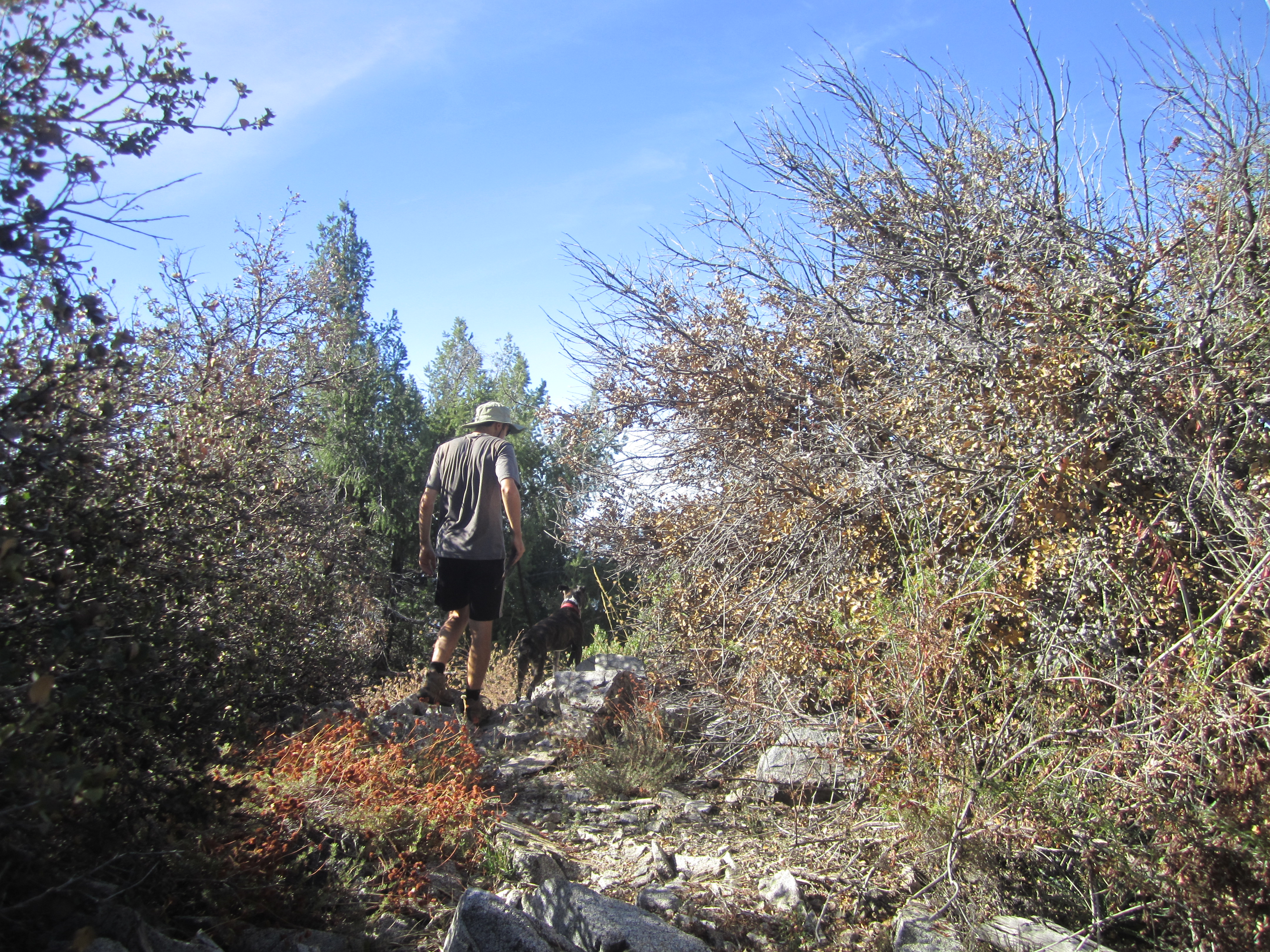
After our break, we continued the traverse by scrambling down the west ridge, which can be negotiated through a series of faint use trails and a bit of genuine bushwhacking and bouldering.
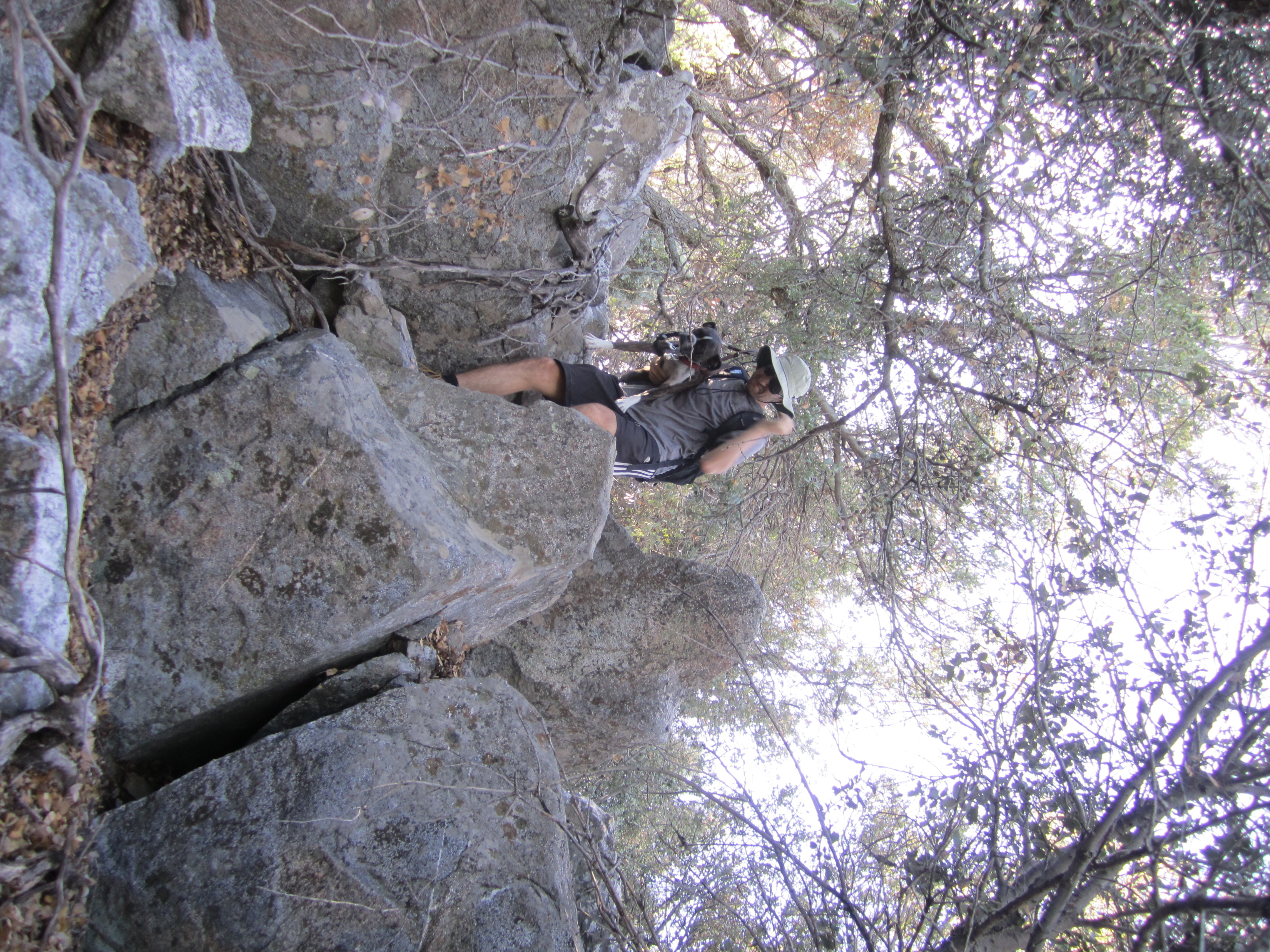
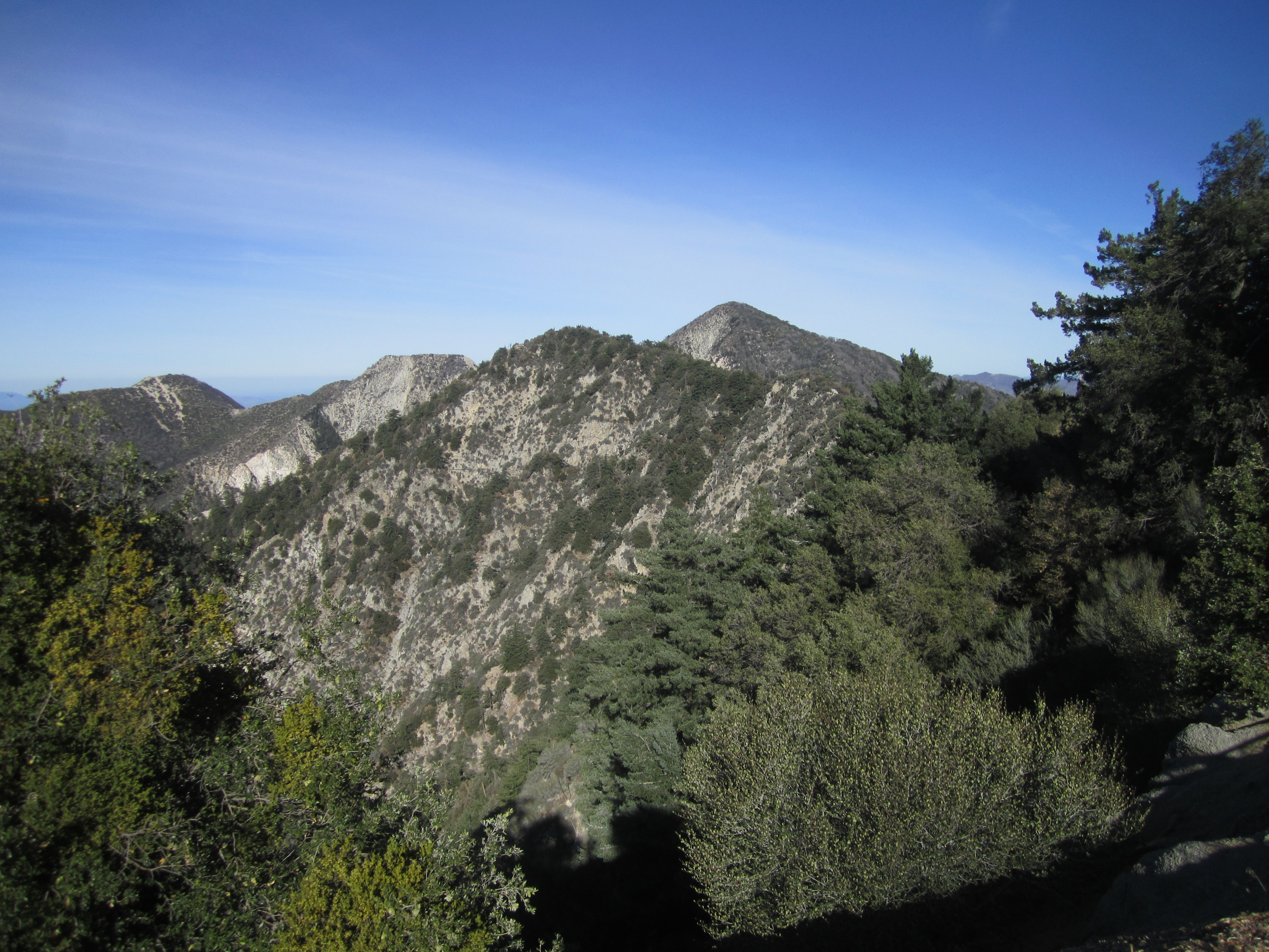
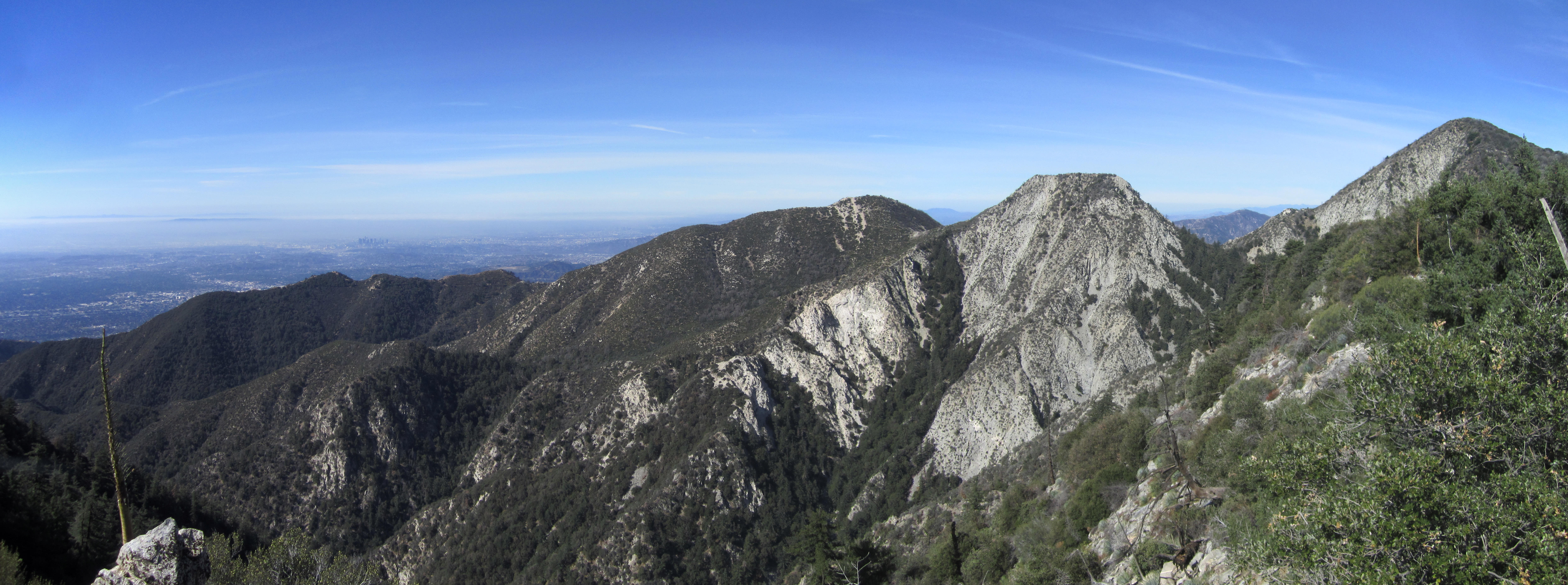
We stayed fairly close to the ridgetop on the shaded north side. At a clear bump west of the peak we were invited to take in the views of surrounding peaks, including Lowe, Markham, and San Gabriel.
After this bump the ridge continued placing obstacles in our way. Mostly, however, there was some sort of faint path to follow here and there. And after starting on Mt. Wilson two hours prior we reached Eaton Saddle around 10:30am, completing our traverse of Occidental Peak.