Grizzly Gulch is TOUGH!!!

TRs for the San Gabriel Mountains.
Post Reply
User avatar
Sean
Cucamonga
Posts: 3792
Joined: Wed Jul 27, 2011 12:32 pm

Post by Sean »

I tried to get my butt up Grizzly Gulch today. I parked along the Stockton Flat Road a little before the Lytle Creek Shooting Range. After following a use trail across the Lytle Creek wash zone, I picked up the Grizzly Gulch wash and followed it upward. It was flattish and sandyish until a left turn put me into more rocky stuff with a small stream coursing over the boulders.

Image

Image

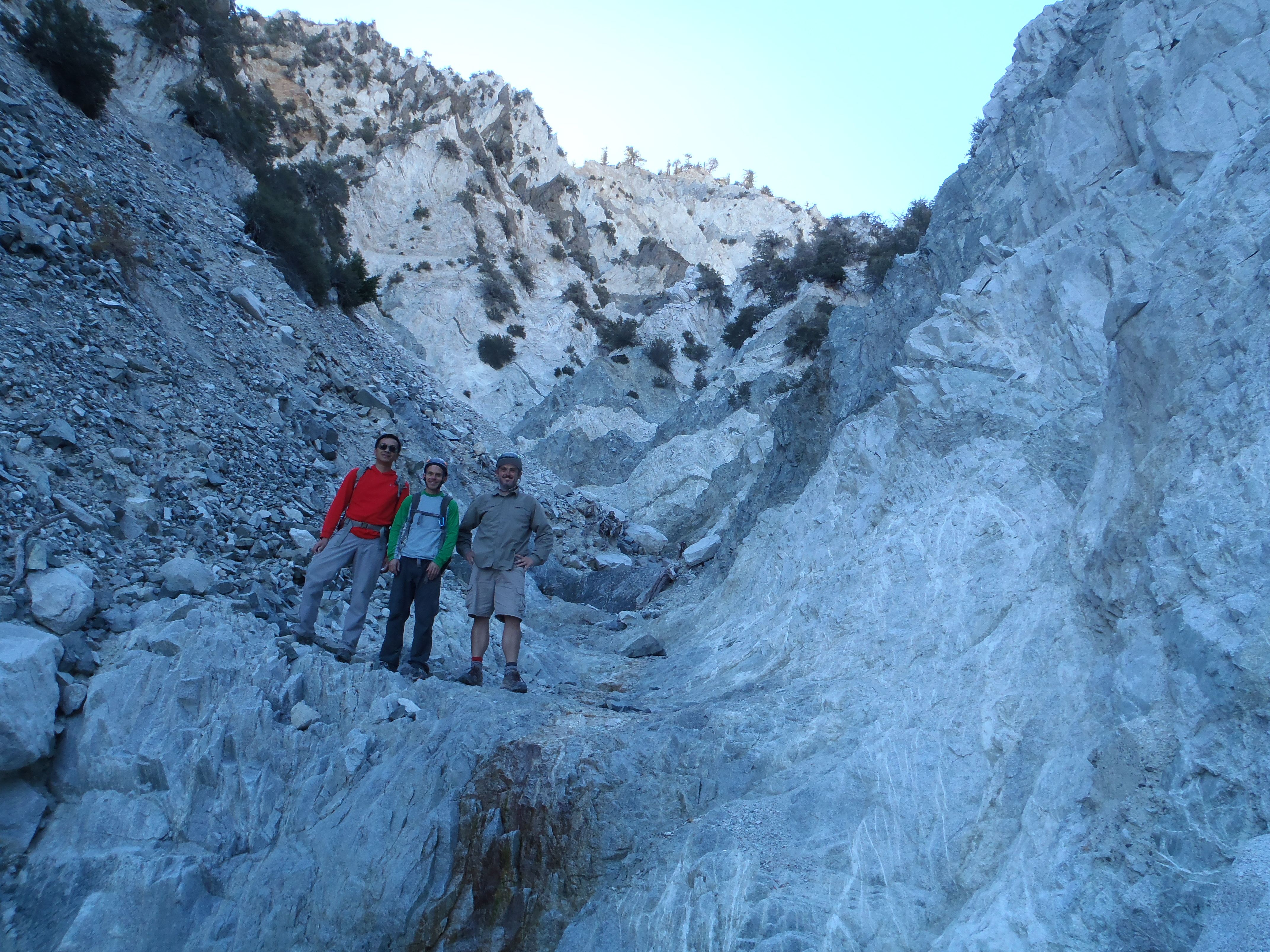
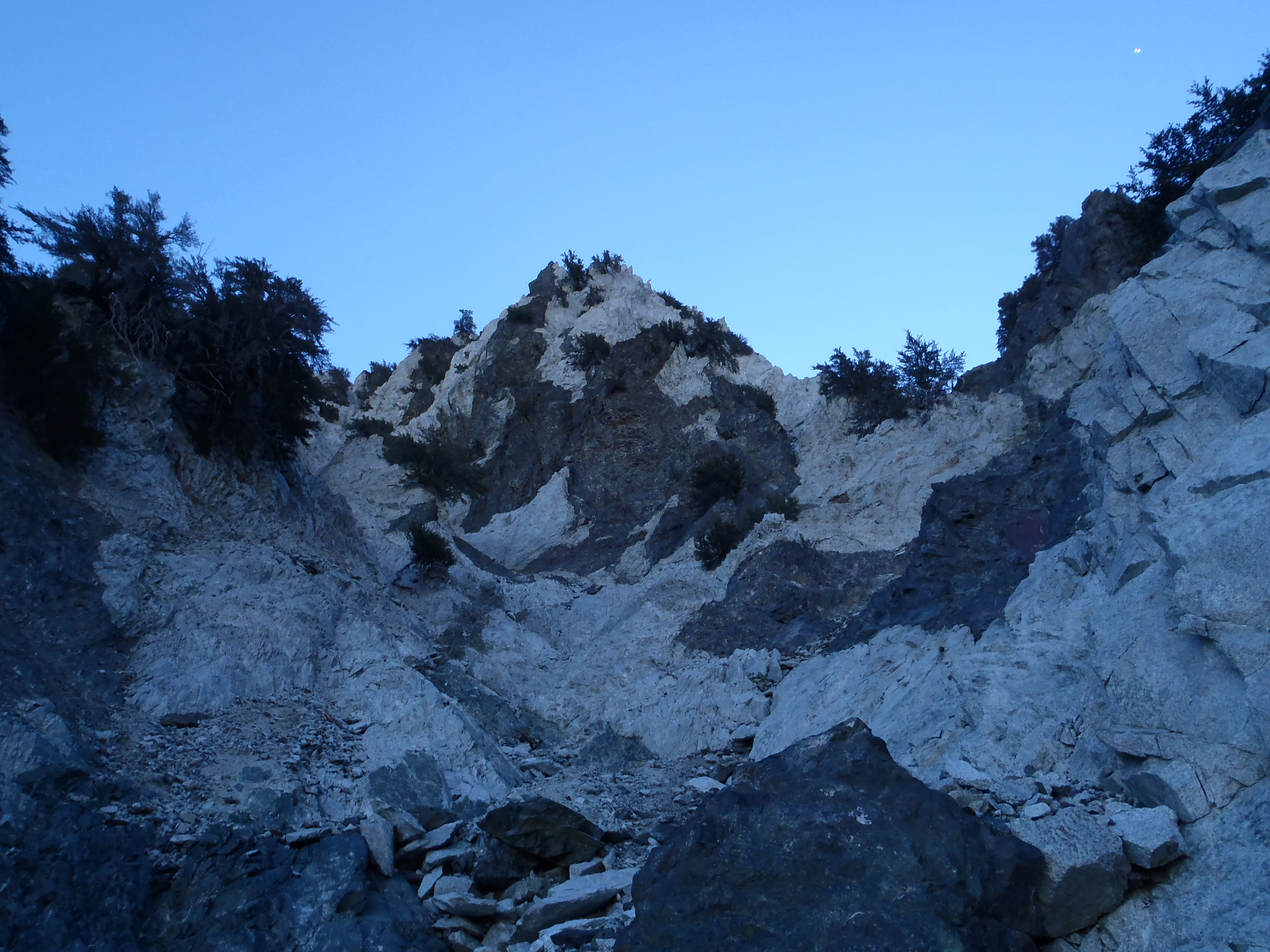
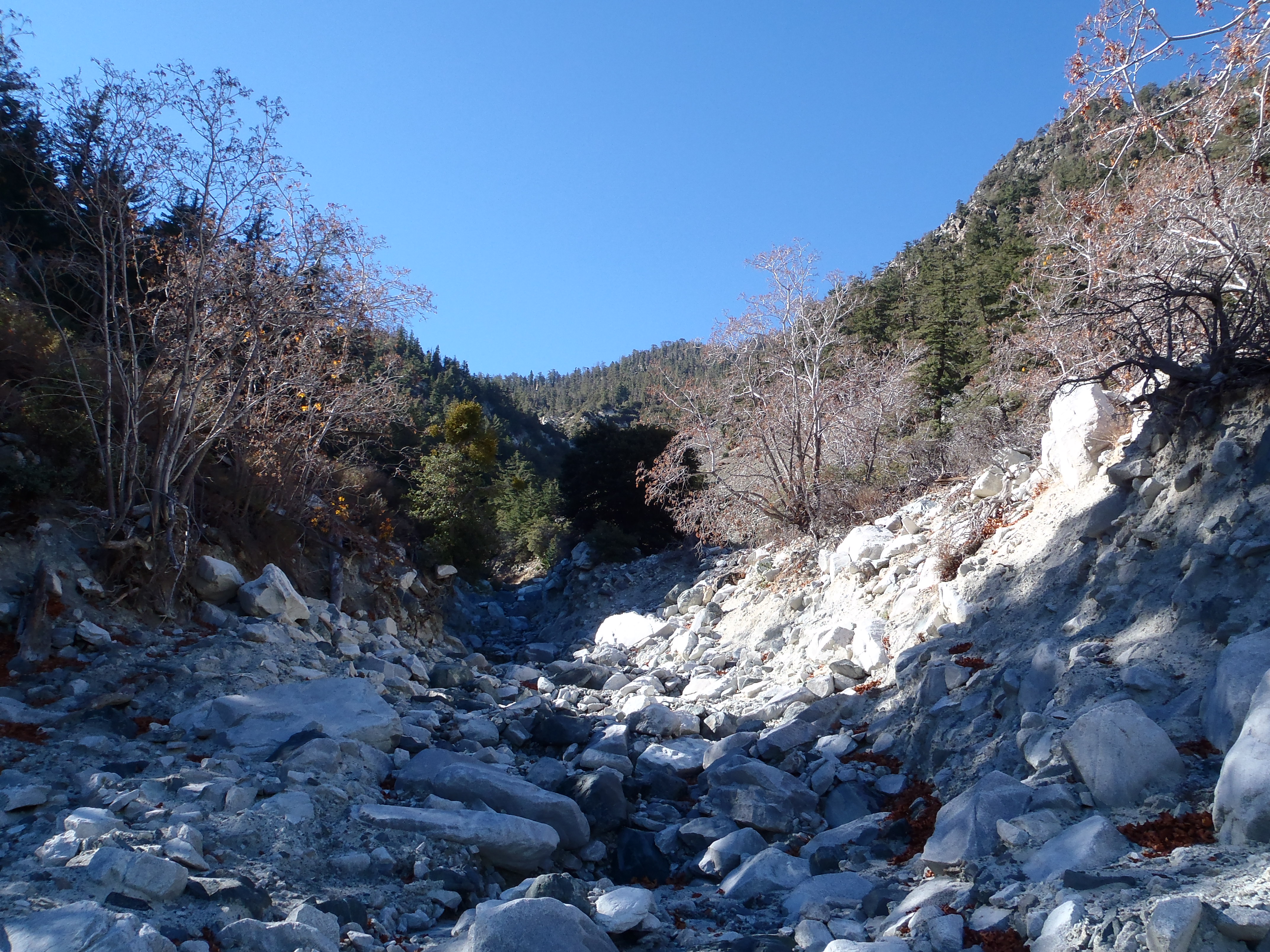
I followed the water, which sent me up the south branch, where the canyon splits.

Image

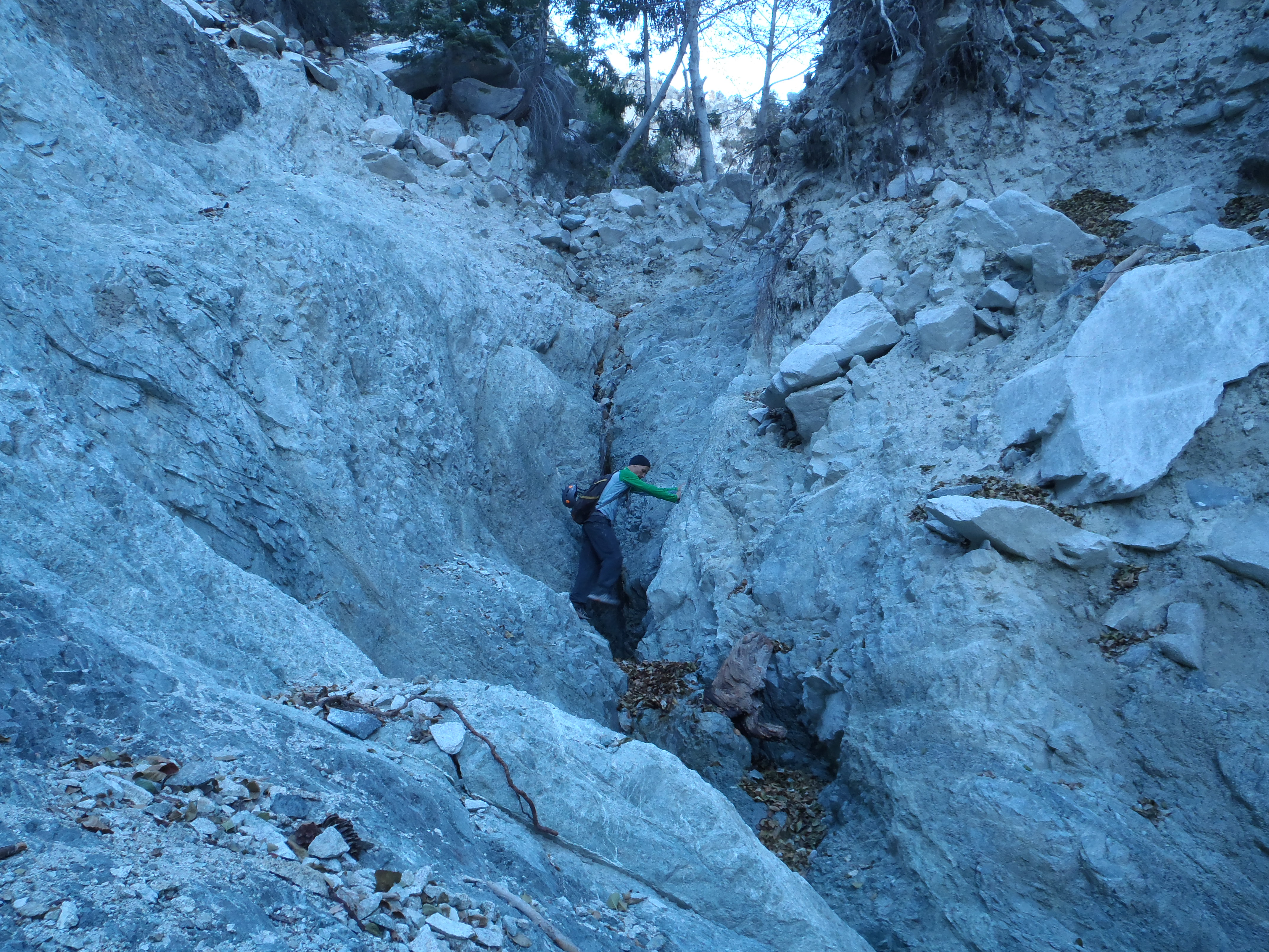
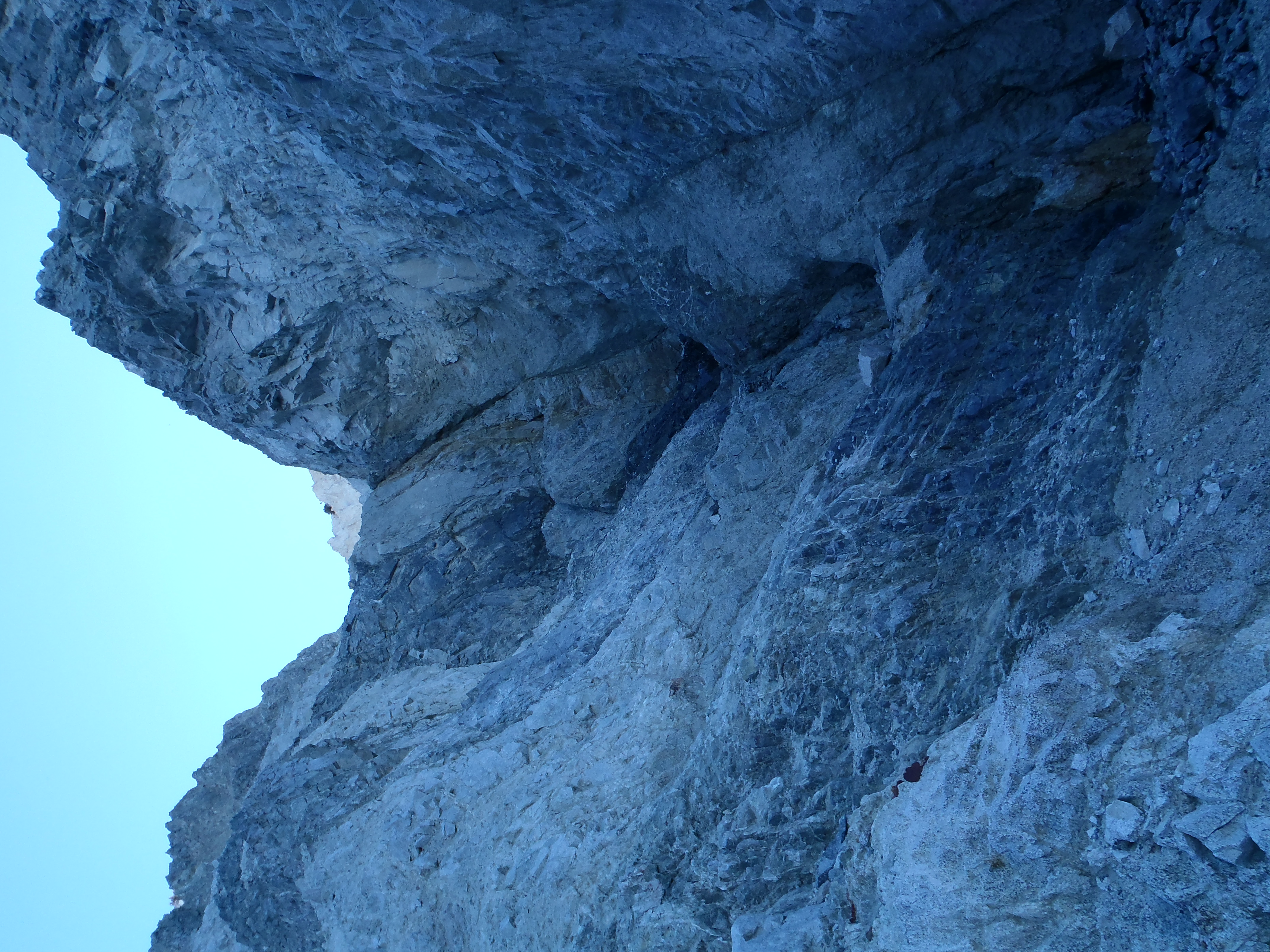
I subsequently found myself negotiating some rather difficult waterfall and cascade obstacles. At least the beautiful scenery would provide a lovely graveyard site if I fell.

Image

Image

Image

Image

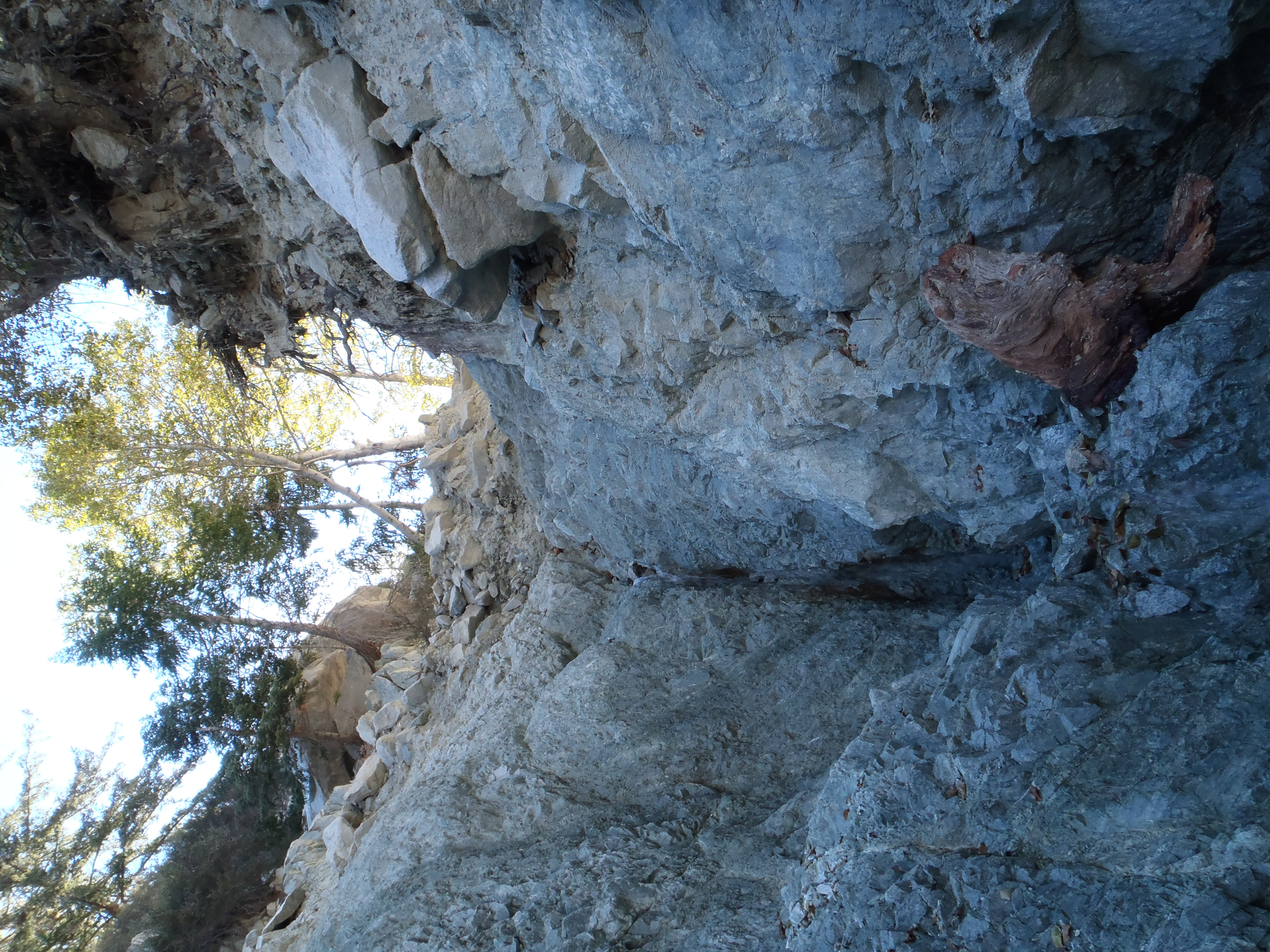
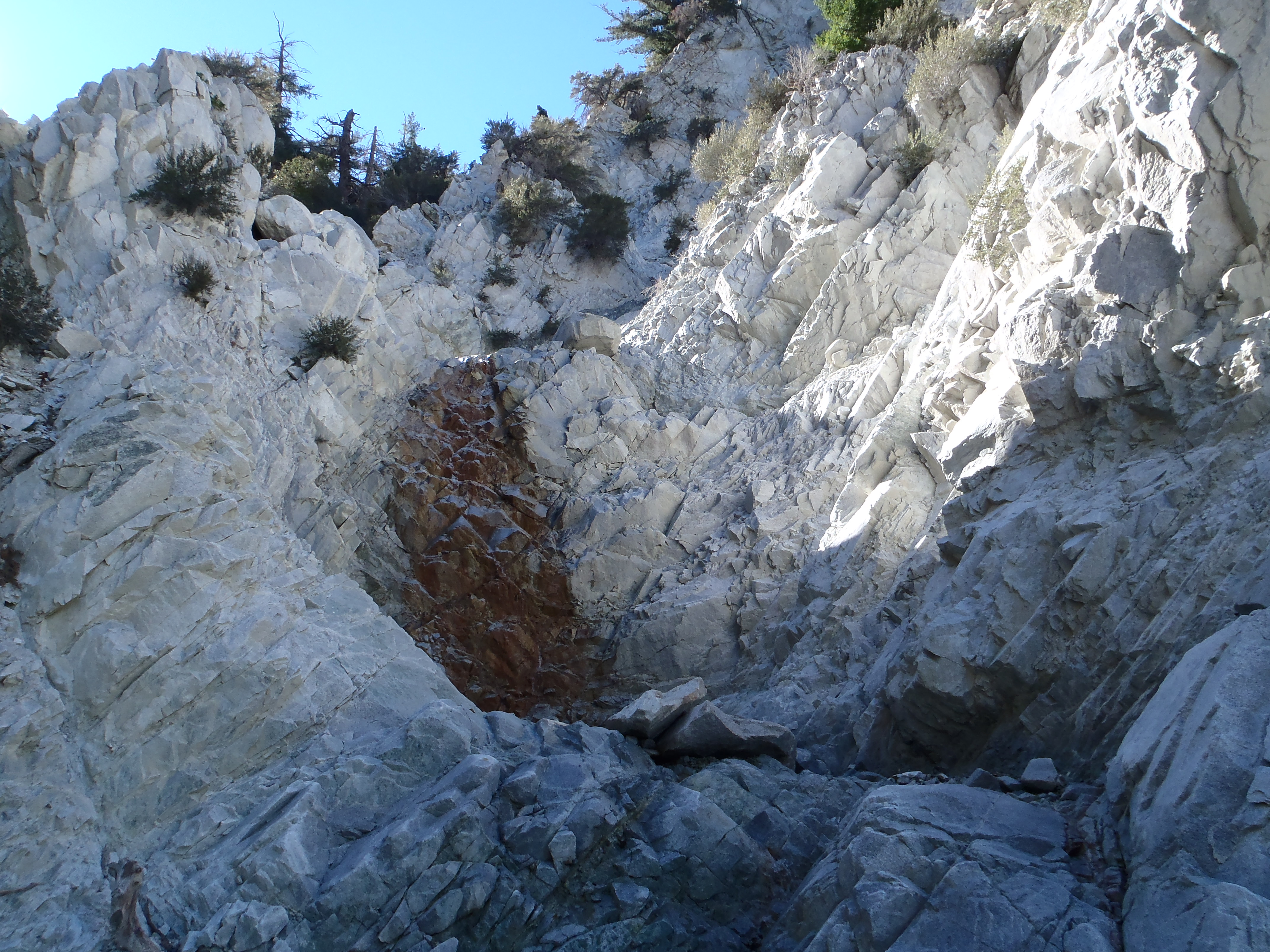
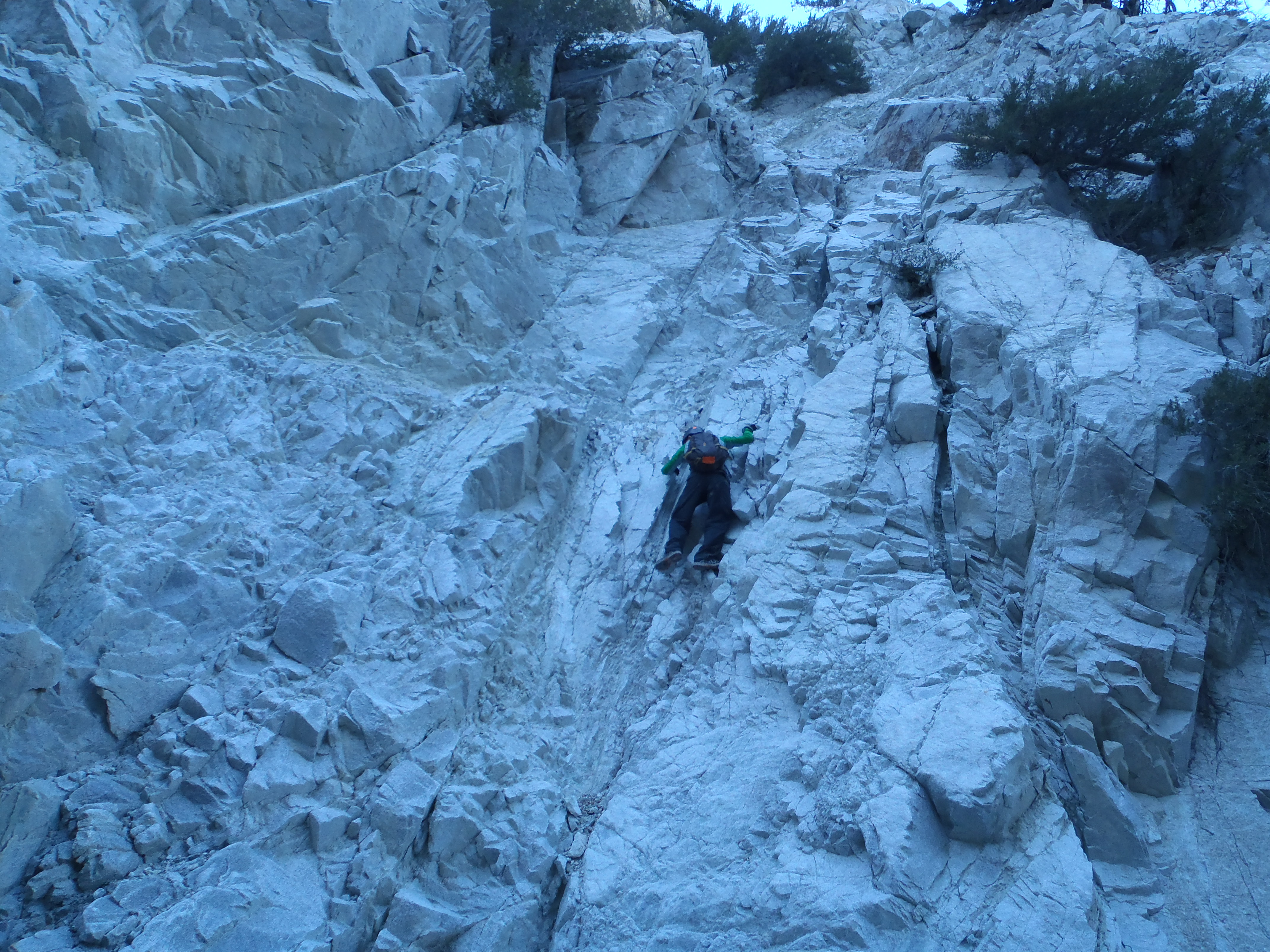
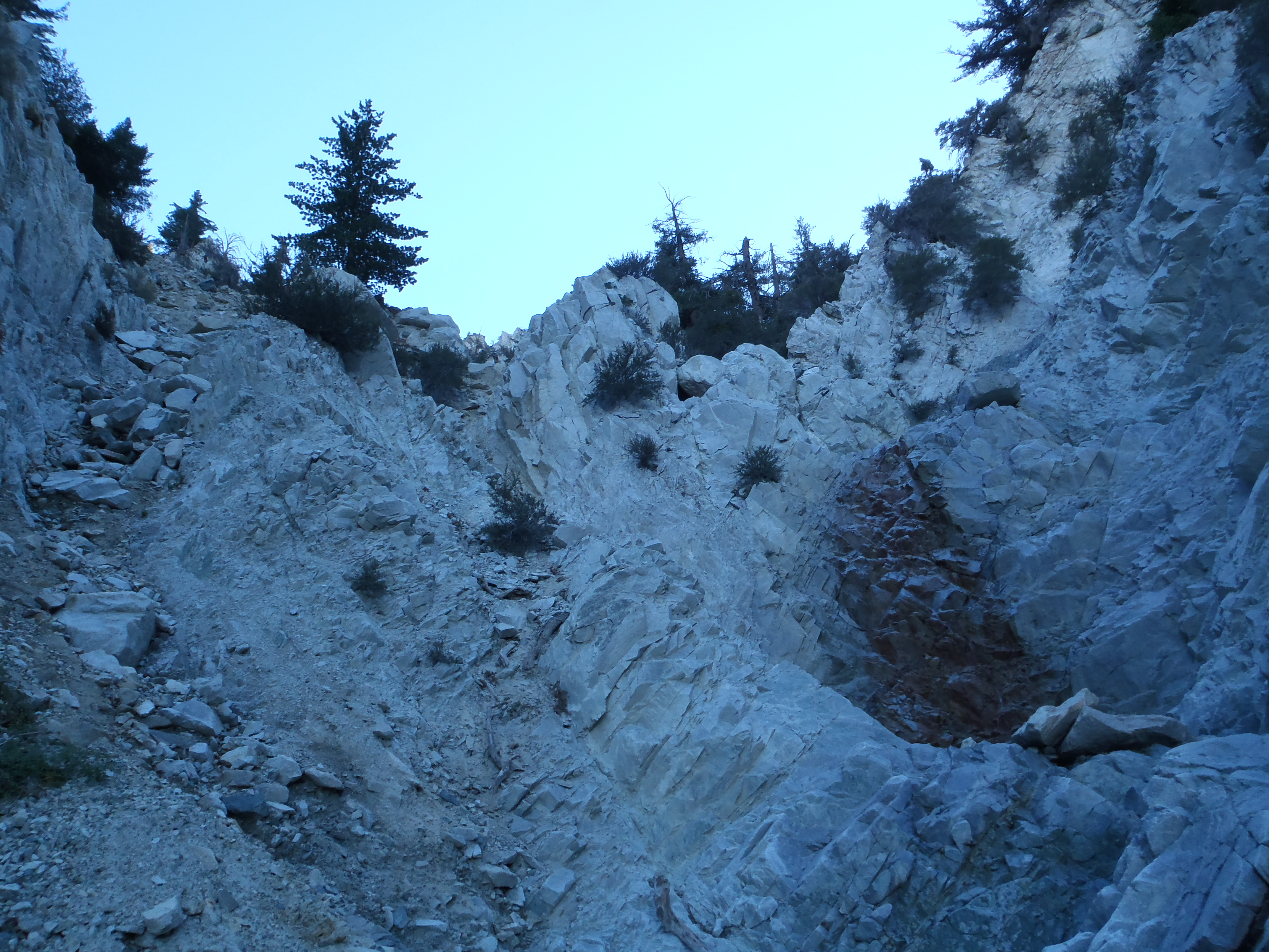
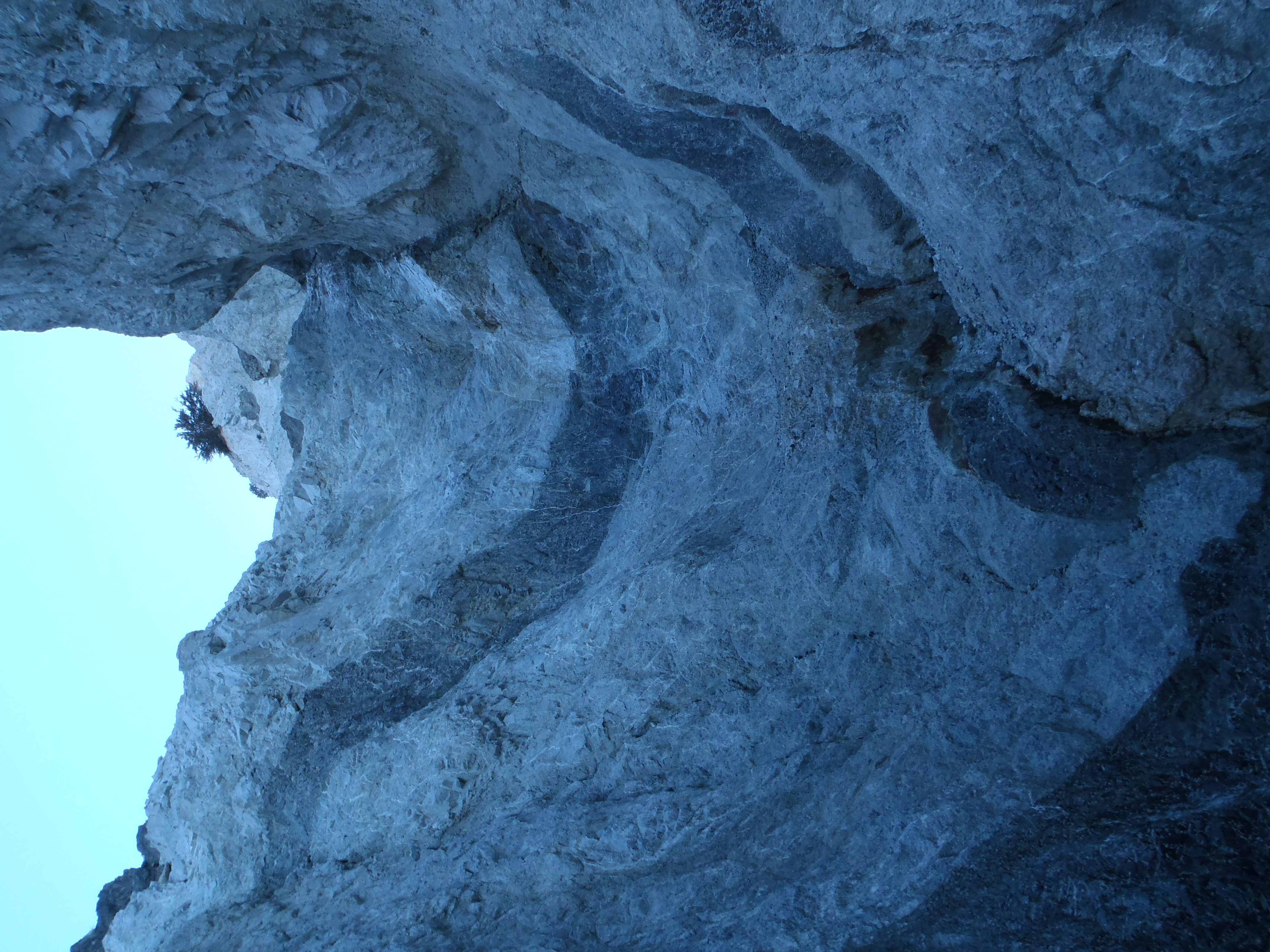
At some point I was above the water and scrambling up the steep, loose headwall.

Image

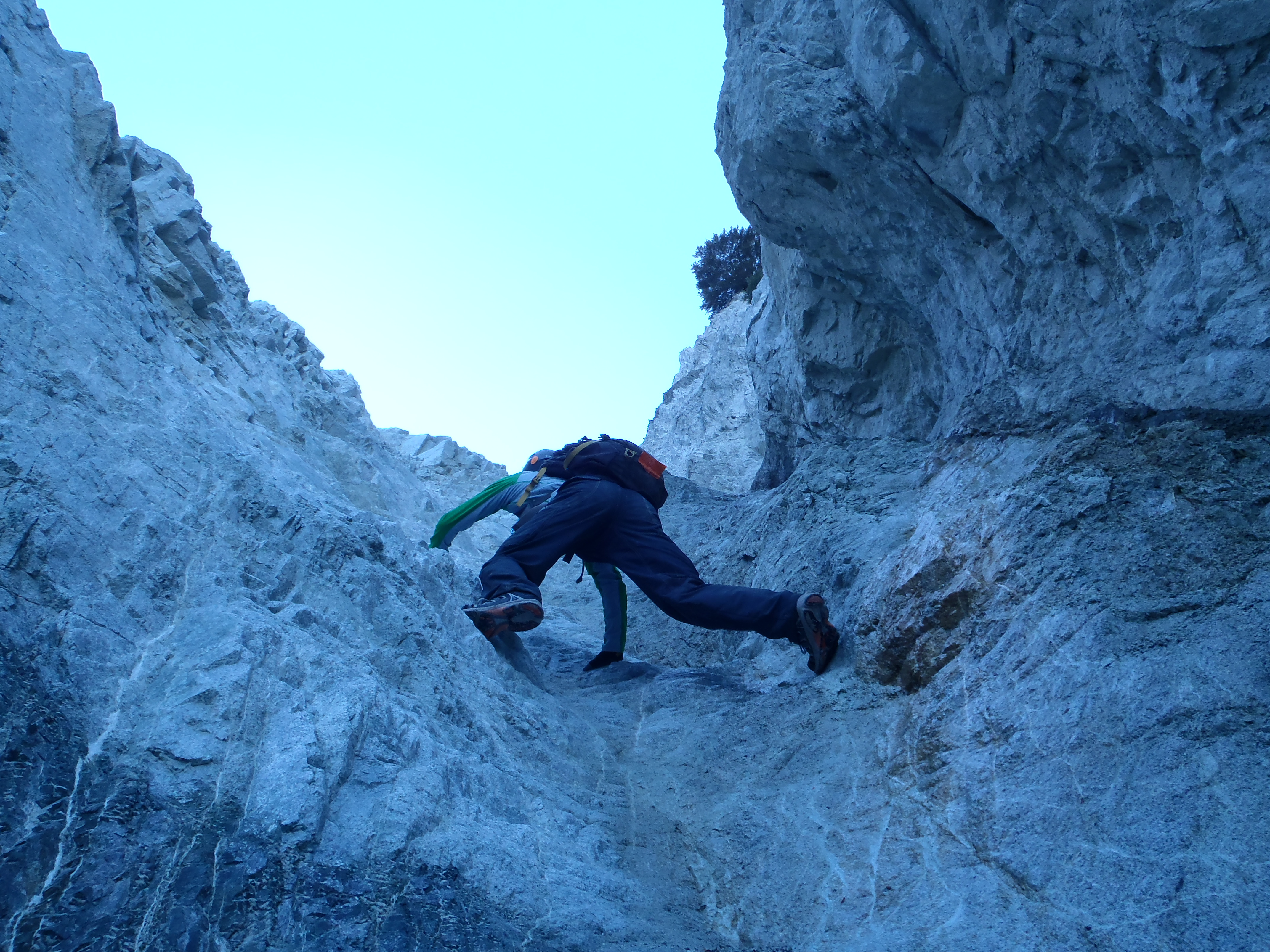
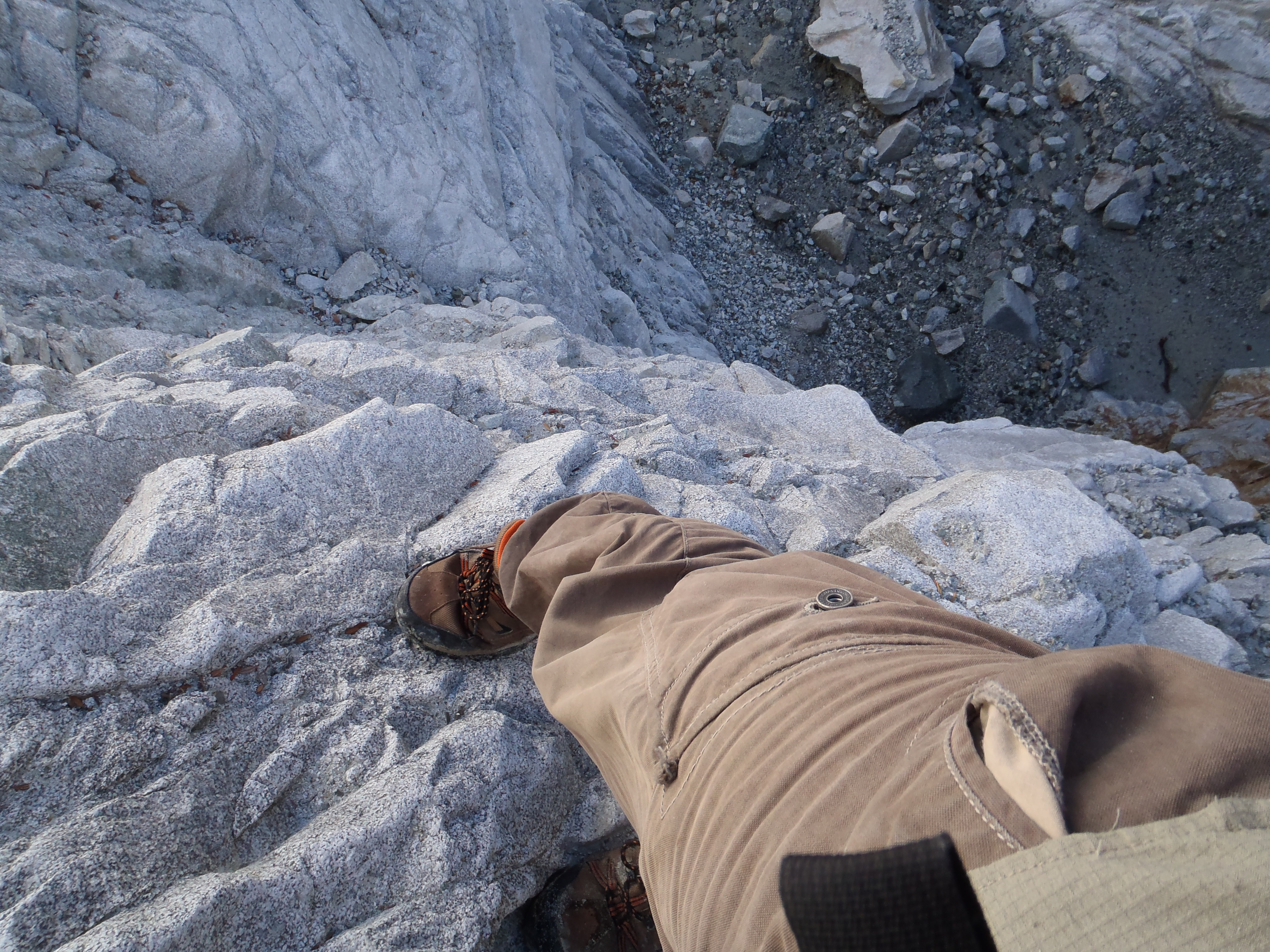
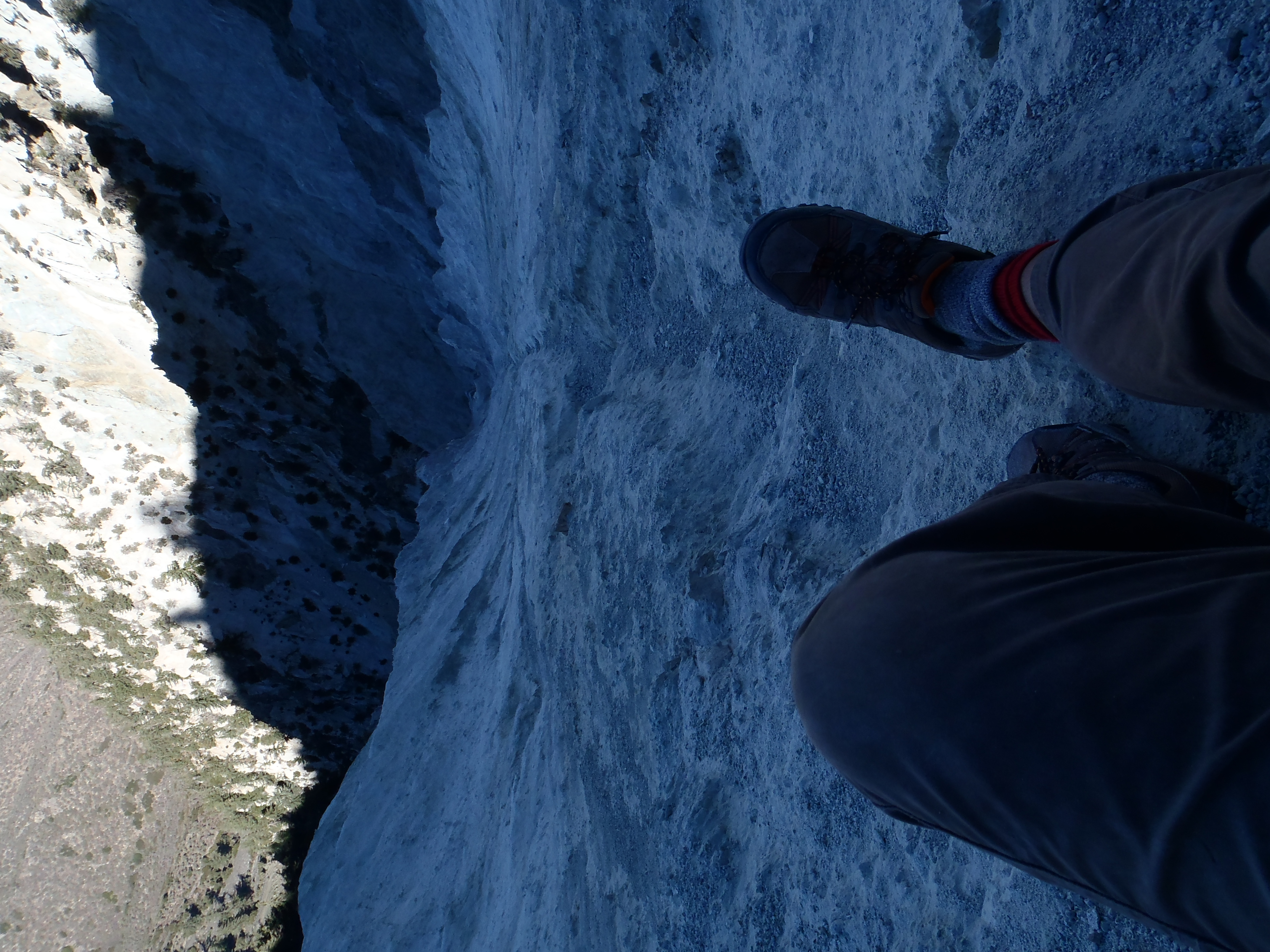
The wall was so steep with no real holds that I had to turn my palms inward and brace them against the sides of narrow runoff channels in order to propel myself upward at a radical angle. At one point I slipped and fell about fifteen or twenty feet before catching one of a few stable rocks. I kept ascending in a sketchy manner until my turnaround alarm went off.

So I turned around, perhaps a few hundred feet from the ridge. I slid down the wall on my butt, tearing up the seat of my pants.

Image

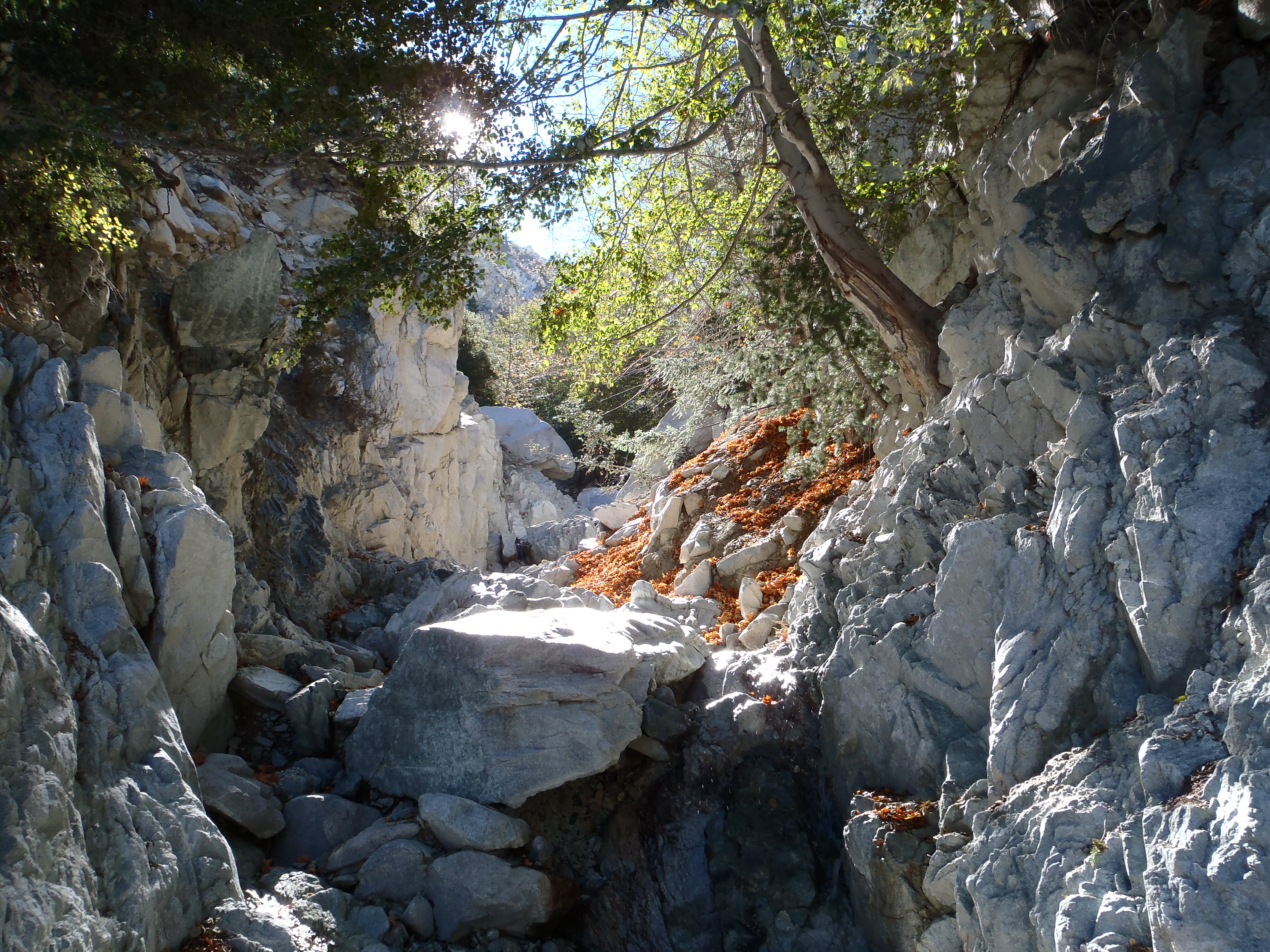
Downclimbing the waterfalls proved scary, but I managed to not fall. On a couple of them I used some rather unpleasant bypasses, but the other ones did not have obvious bypasses, and I was probably doing Class 4 or 5 moves with not-that-solid and tiny holds.

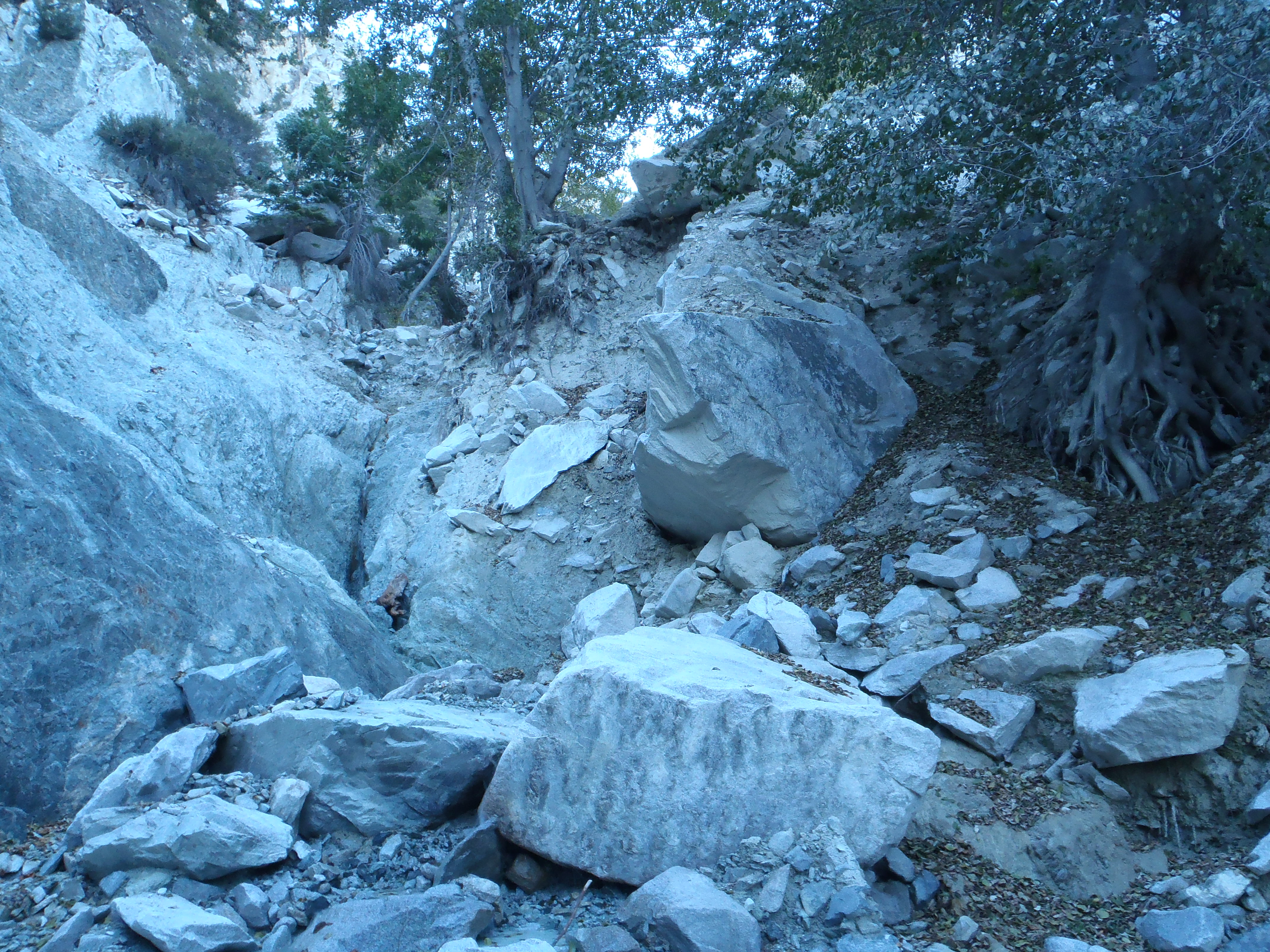
It gets really maze-like in the upper reaches of Grizzly Gulch and navigation was also an issue.
User avatar
HikeUp
Posts: 3861
Joined: Thu Sep 27, 2007 9:21 pm

Post by HikeUp »

Is Grizzly Gulch the one "west" of Chalk Peak?

Image
User avatar
Sean
Cucamonga
Posts: 3792
Joined: Wed Jul 27, 2011 12:32 pm

Post by Sean »

HikeUp wrote: Is Grizzly Gulch the one "west" of Chalk Peak?
Yeah, that's it.
User avatar
cougarmagic
Posts: 1409
Joined: Wed May 07, 2008 5:21 pm

Post by cougarmagic »

There needs to be a medieval castle up here.

And a dragon.

Image
User avatar
HikeUp
Posts: 3861
Joined: Thu Sep 27, 2007 9:21 pm

Post by HikeUp »

Sean wrote:
HikeUp wrote: Is Grizzly Gulch the one "west" of Chalk Peak?
Yeah, that's it.
Beautiful place. I didn't get up it as far as you did and now I know that I made a good decision for me...no way I'd get up those falls.

Trying to get to high point 7465 on that ridge above? Then try this route. The only obstacle that is obvious is the water fall and narrow steep stretch of canyon at and above point B on the map I link to. Here's a picture of it... from nearby high point 5610...

Image
User avatar
Sean
Cucamonga
Posts: 3792
Joined: Wed Jul 27, 2011 12:32 pm

Post by Sean »

HikeUp wrote: Trying to get to high point 7465 on that ridge above?
I was trying to get to somewhere along the ridge. But mostly I was trying to scare the crap out of myself, which I accomplished.

That looks like a fun route. I'll definitely be exploring that whole area more. I'm planning a traverse of Telegraph's East Ridge to Chalk Peak, and I'd like to know more about possible exit routes.
User avatar
HikeUp
Posts: 3861
Joined: Thu Sep 27, 2007 9:21 pm

Post by HikeUp »

Look forward to the TR!
User avatar
Uncle Rico
Posts: 1402
Joined: Thu Mar 20, 2008 7:48 pm

Post by Uncle Rico »

I'm content living vicariously through Cucamonga Man on this one.

Image
User avatar
tekewin
Posts: 1195
Joined: Thu Apr 11, 2013 5:07 pm

Post by tekewin »

That marbled shot that cougarmagic highlighted is very beautiful. The whole area looks cool, but mostly hiker unfriendly. Congrats on scaring yourself :) I'll be on the sidelines with Rico cheering you on.
User avatar
Hikin_Jim
Posts: 4686
Joined: Thu Sep 27, 2007 9:04 pm

Post by Hikin_Jim »

Good thing you were wearing brown pants. Zoiks, dude.

HJ
User avatar
Taco
Snownado survivor
Posts: 6014
Joined: Thu Sep 27, 2007 4:35 pm

Post by Taco »

Hikin_Jim wrote: Good thing you were wearing brown pants. Zoiks, dude.

HJ
Yes please do be careful when you climb up these loose dry waterfalls.

Awesome place. One of the coolest spots in the San Gabes for sure. 8)
User avatar
Ellen
Posts: 139
Joined: Sat Jan 19, 2008 11:28 am

Post by Ellen »

Howdy Sean :)

STUD!

If I ever feel constipated, I'll just go to this forum and look at this picture :shock:

Image

Miles of smiles,
Ellen
User avatar
Sean
Cucamonga
Posts: 3792
Joined: Wed Jul 27, 2011 12:32 pm

Post by Sean »

Did this again with Willie and Henry.

Image

Not much else to report, except that I focused on finding the easiest bypasses around the first three major obstacles in the south fork.

Image
This is Willie preparing to go straight up the first one.

Image
But it can be bypassed on the near right using Spiderman and Tarzan techniques where you crawl up smooth boulders and hang from roots and branches. Or the far right where you Spiderman up a steep slope then Tarzan on some branches. Neither option is very nice.

Image
Here Willie is wandering too high on the direct path up the second obstacle. He kept going up when he should have cut to the left.

Image
The easiest bypass is far left up the rocky gully, then cut right over a baby ridge to drop back into the main fork above an unseen fall directly above the big one. This bypass is difficult class 3.

Image
This is Willie on the third obstacle, a 30-40 foot near-vertical, smooth wall with tiny holds and lethal drops.

Image
The bypass for this thing is on the left. You will see a narrow gully that is barely ascendable. Go up maybe 100-150 feet, then get yourself over the baby ridge on the right and look for a narrow chute to downclimb. I turned around with Henry before observing the chute, but Willie said it's awesome. He used it to get back down after climbing up the direct route.

Image
This is the view I had in the bypass gully, a few yards below where you cut over the ridge to the narrow chute.

There is at least one other major obstacle beyond the third one.

Image

Then you have the headwall.

Image
Post Reply