


After reading a blog by David Stillman, he was inspired to attempt Cobblestone Mountain along with Sewart and White, starting from the Buck Creek Trailhead.

We carpooled from La Canada up the I-5 and turned into Hungry Valley State Park. Then a series of mountain roads eventually got us to the trailhead, a mere 24 miles later. (I don't recommend low-clearance vehicles for this one, as there were at least two washouts that gave my Honda Pilot a real challenge.)
By 8AM we were on the trail to Sewart.

The "trail" is mostly an old roadbed now blocked by brush and fallen trees. We didn't spend much time on the summit.

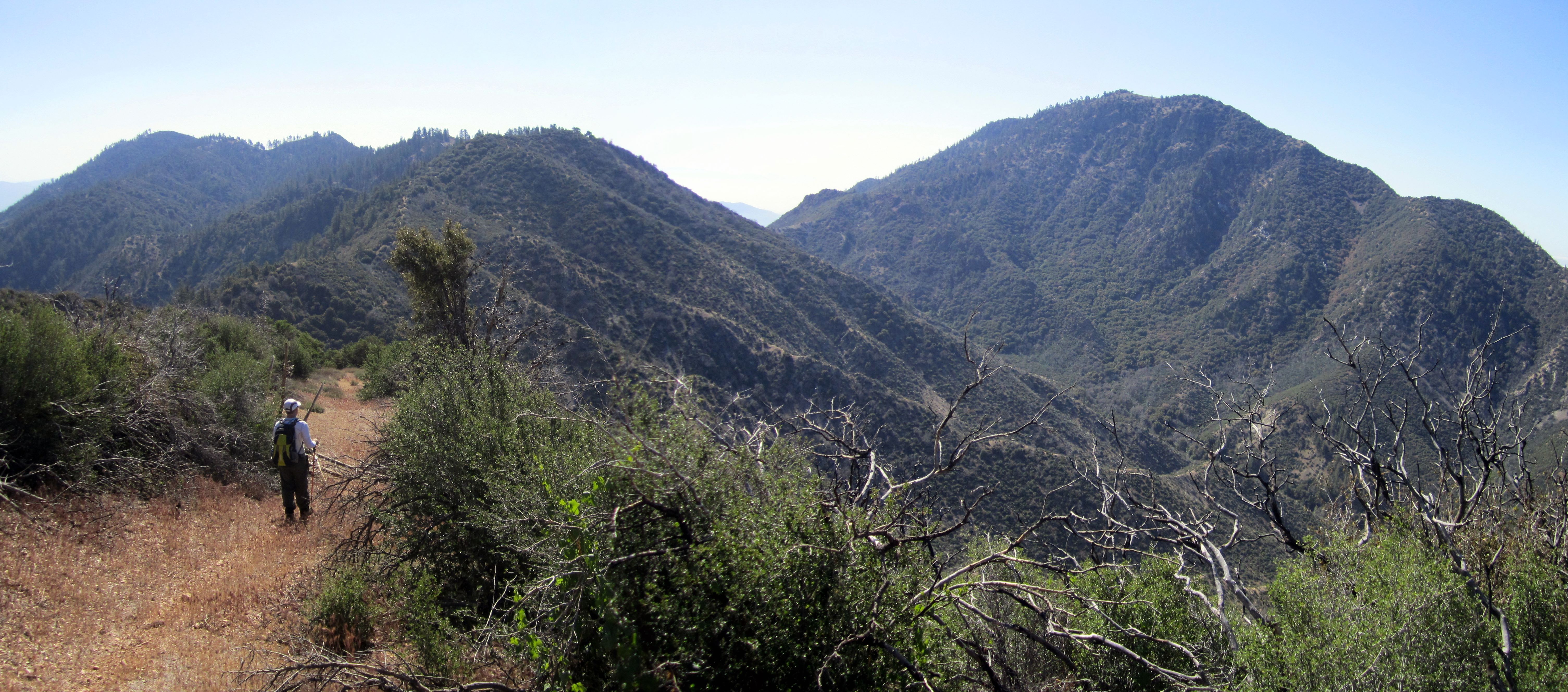
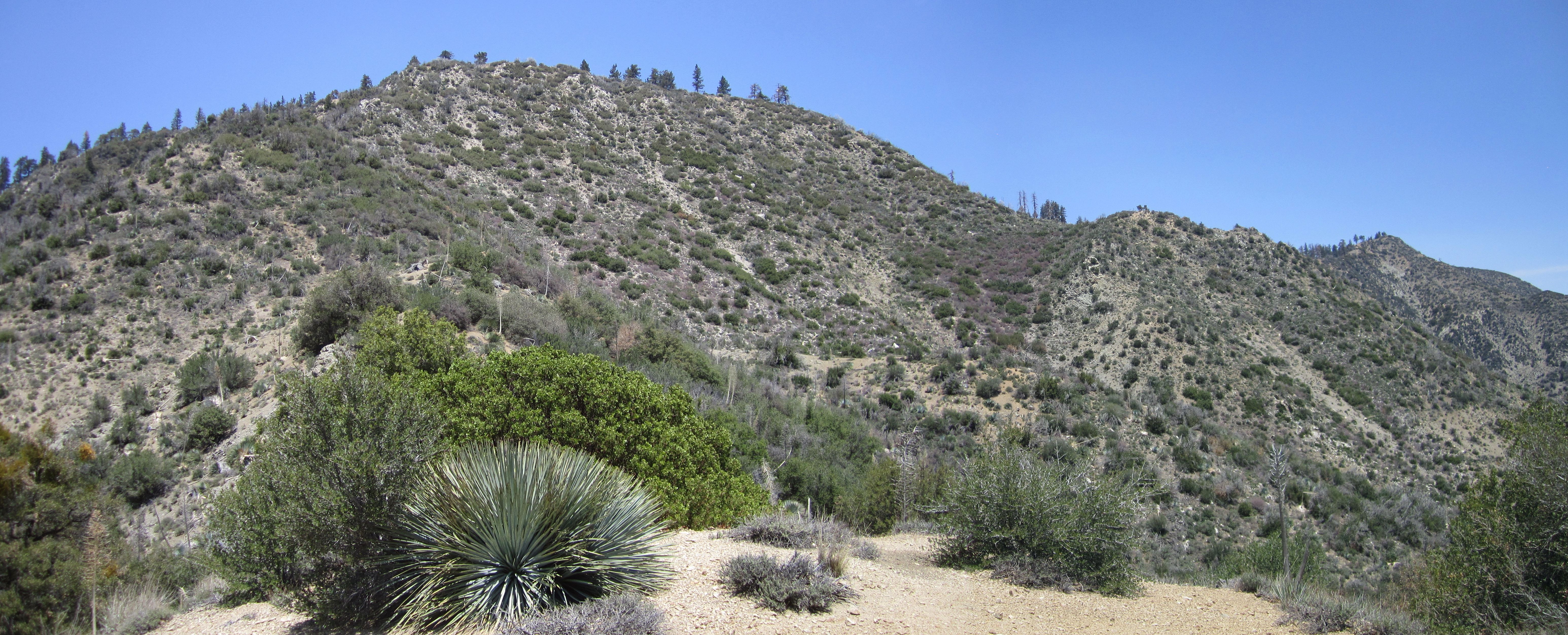
We were anxious to reach our first water caching location, a thousand vertical feet below Sewart, along the ridge to Cobblestone. Keith was carrying 7 liters, while I had 8. Unfortunately, it wasn't exactly easy leaving Sewart. There were about five hundred dead trees blocking our path.

And we temporarily lost the trail, resulting in some thorny bushwhacking in order to get back on track. But after successfully dropping from Sewart and stashing some water, we made great time along the old fire road, which follows the ridge dividing the Buck Creek and Agua Blanca watersheds.
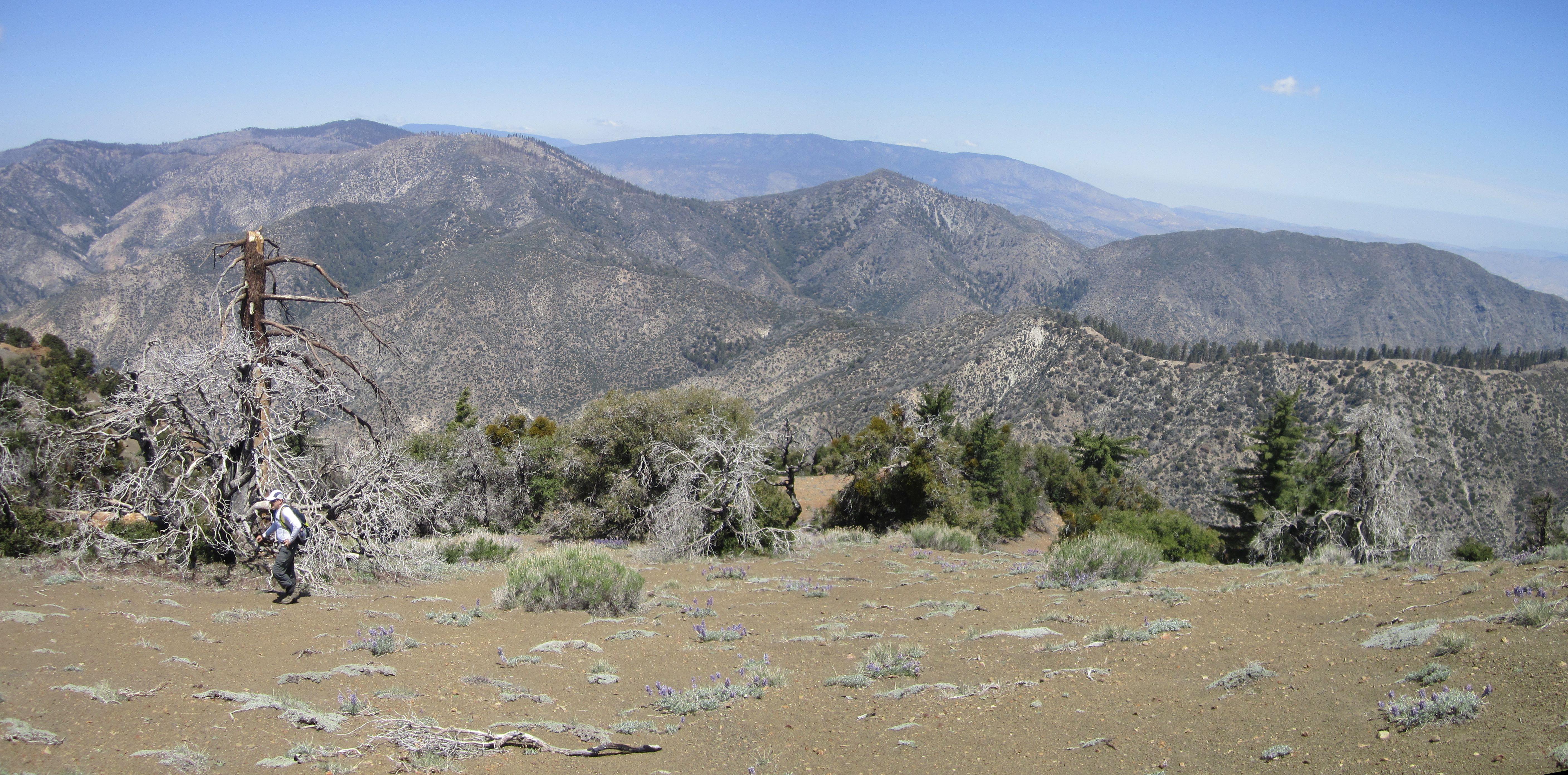
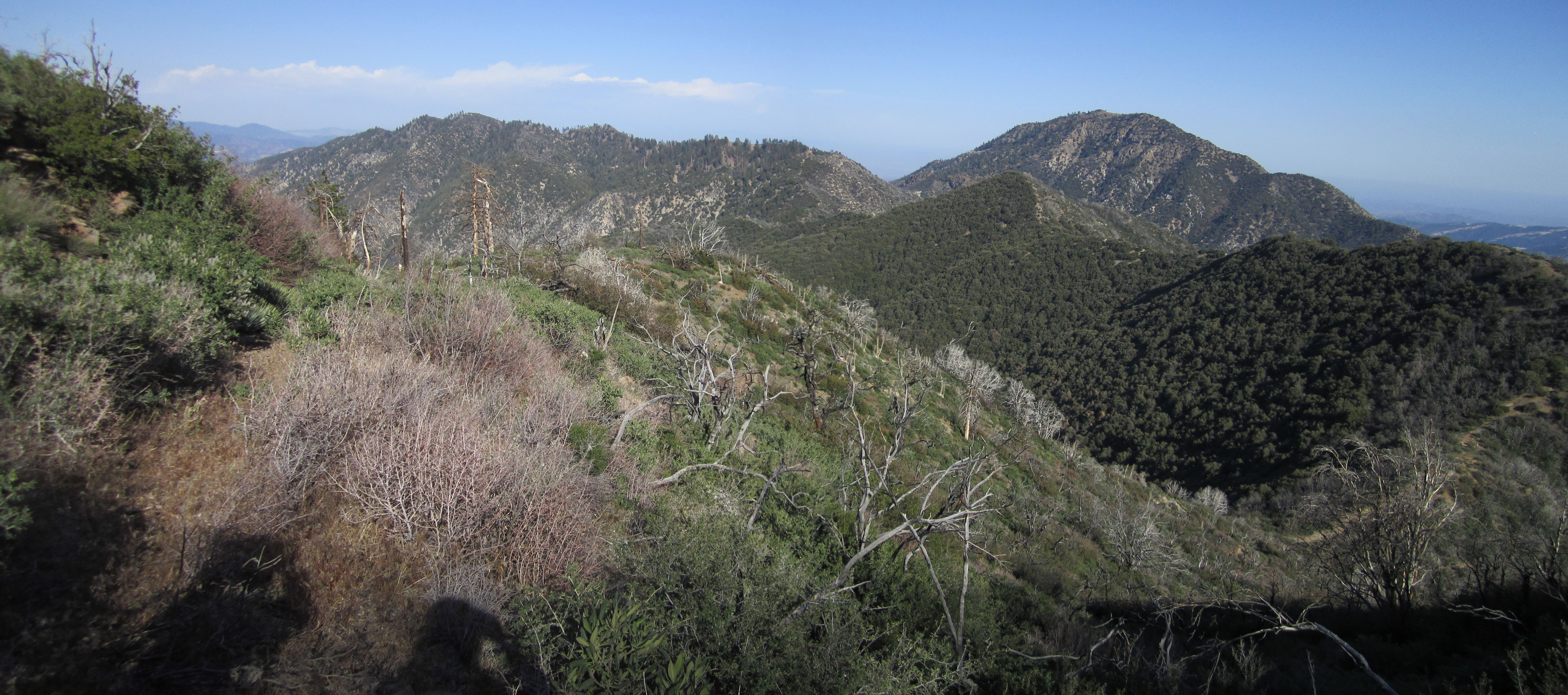
After a long meandering trip on the ridge,

we located a splinter trail leading down to the Cobblestone Trail.

Down at the saddle we stashed more water, and I dropped my pack, for the steep but rewarding ascent to Cobblestone.


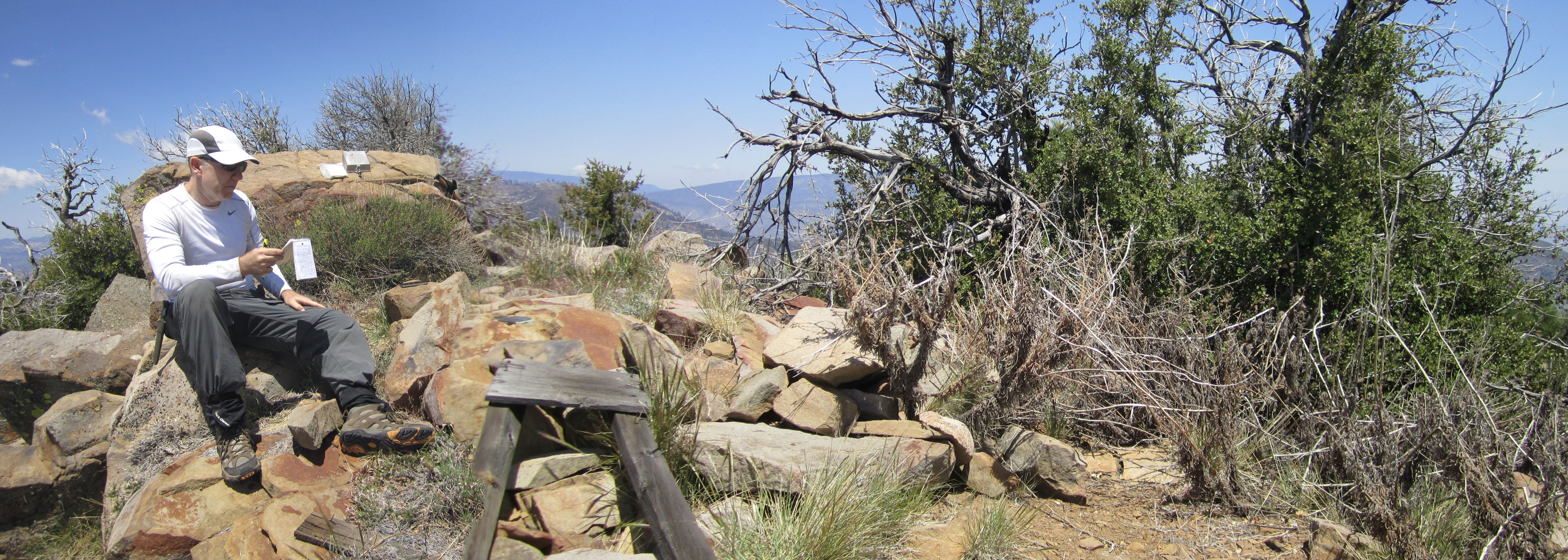
It was easy to figure out why the peak was named Cobblestone.

The collage-like rock formations were truly fascinating.

On the summit we spent time reading the old register that dated back to the '80s.

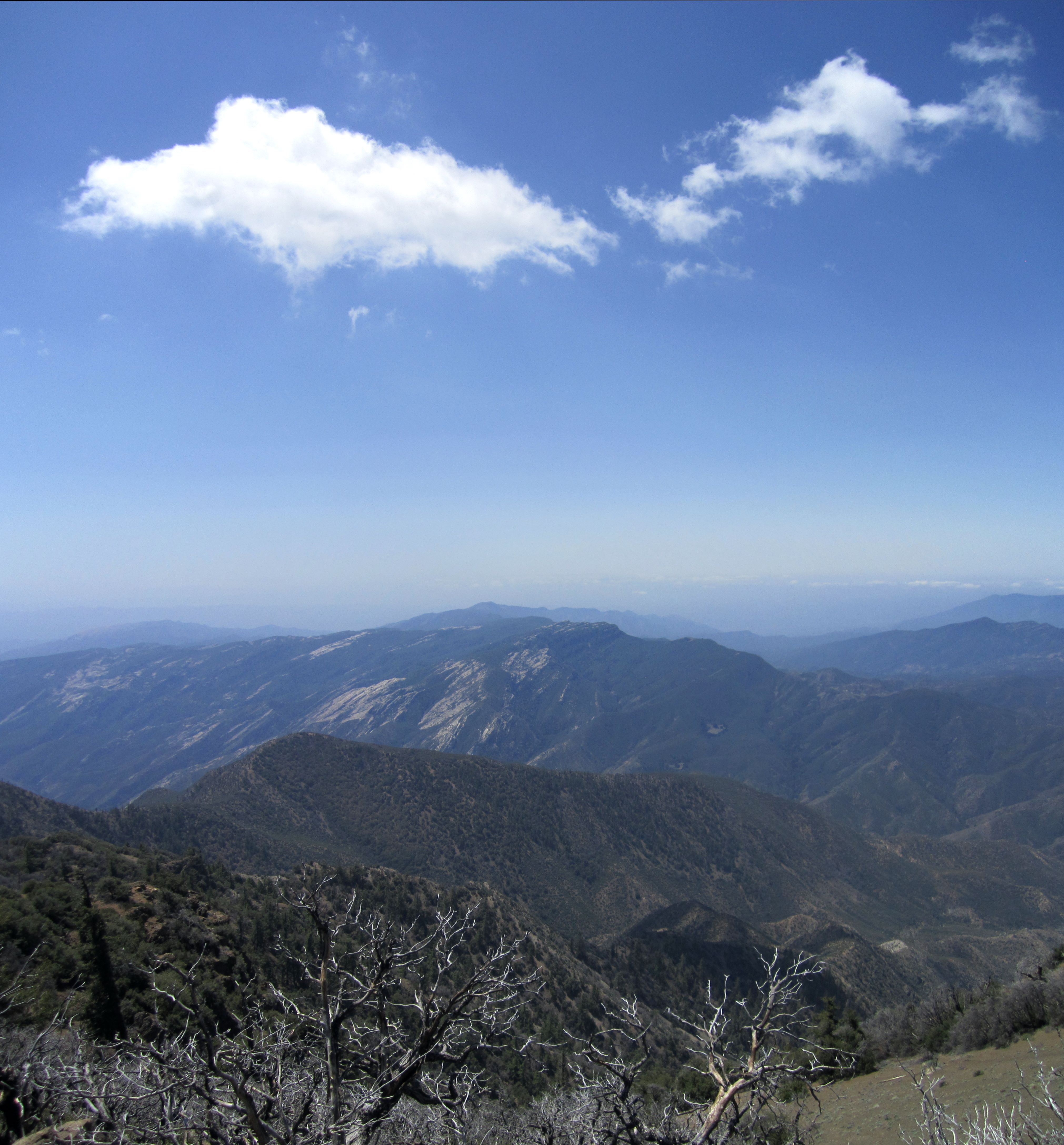
We enjoyed the views.
It was such a beautiful spot on such a beautiful day that neither one of us were eager to depart. But we still had one more peak to grab, so down we went.

And lost we got--again! This time we went down the wrong gully and couldn't locate the trail. So we had to cross along the base of a long rockmass and through an oak grove.


We found the saddle and picked up our stuff. Then we decided on a route up the slope to White, instead of taking the trail we came down.
For the most part we simply followed a deer trail, but there was some climbing involved.

Once on the ridgetop, we followed the old trail to White, which traverses a couple bumps before reaching the summit.


After White, the return journey seemed quite long. We rationed our water perfectly, though, and got to look back at Cobblestone and White from a distance.
We picked up several bottles that previous visitors had abandoned.

And we managed to stay on the trail near Sewart.

By the time we got back to the car, we were both exhausted.

Keith put the hike at 15.2 miles with 5960' of gain. We were on trail for 10 hours fifteen minutes. I consumed about 6 of my 8 liters. Keith drank every drop of his. His more detailed report can be found here.


