
A few years ago, right after the Station Fire Closure was lifted in the West Fork, I descended the Gabrieleno Trail from Red Box and ascended the Valley Forge Trail through nearly three miles of nonstop feral poodle-dog bush. Needless to say, I spent the next two weeks with most of my legs and much of my arms covered with what looked like deep purple bruises that itched like hornet stings. Ouch.
Last Saturday I decided to have a look at how things are coming along in that area. Left the car near the towers on Mt. Wilson at 1:00 pm and descended Kenyon Devore to the junction with the Gabrieleno.
The next stretch of the Gabrieleno between the trail junction and Valley Forge Campground is in pretty decent shape. Taking care to avoid the abundant PDB, it can be navigated without trouble. In some sections, it's very thick, but there seems to be enough foot traffic now to stomp a path through it and keep it from completely reclaiming the trail, though it does encroach on it in many places.
There seem to be very few green leaves on the PDB at this time of year. They're mostly dried out stalks with dark brown leaves still clinging to them, and in some cases just slender sticks. However, I don't know if that means it's any less potent. I found it helpful that the smell is so strong. Sometimes I didn't see it, but then suddenly noticed the smell and found branches sneaking their way into the trail concealed by other plants.
There was fair water flow in a couple of the canyons that come down from Mt. Wilson along that stretch as well.
Ascending the Valley Forge Trail, there was definitely much less PDB than on my last visit. In fact, some sections seemed to be almost "back to normal" - yucca, buckthorn, manzanita, without even a trace of the ocean of the stuff that was there before. Lots of young buckthorn lining the trail and encroaching on it in places. Maybe the poodle-dog is in retreat?
Trail work has been done along the whole route, so a lot of the washouts have been shored up and deadfall cut and cleared. However, it looks like continuous falling branches and burn debris will be a feature of the area for some time to come.
I got to Eaton Saddle and decided to take the scenic route over Occidental Peak back to my car. It turned out to be much more challenging than I expected. Definitely not to be taken lightly. I probably made the mistake of trying to stay too close to the ridgetop and lost the various use trails that snake through the vegetation on the north side of the ridgeline. However, you have to avoid going too low or you'll take a tumble off the top of a 45-foot road cut. The ridge takes several ups and downs and there's a notch right before Occidental that involves a bit of scrambling/bushwhacking/thrashing. It's a surprisingly isolated spot for somewhere just a few yards away from the highway. In any case, after reaching the peak, the east ridge is smooth sailing. But don't take the Occidental detour if you're in a hurry. Doing it without getting yourself into trouble can take up a lot of time.
Got back to my car at 5:30, I think it was about 9 miles round trip.
Sorry, no pics!
A walk through the valley of the shadow of the poodle...
-
HikeUp

- Posts: 4070
- Joined: Thu Sep 27, 2007 9:21 pm
First TR I've ever seen that included the western approach to Occidental! Nice.
-
Uncle Rico

- Posts: 1484
- Joined: Thu Mar 20, 2008 7:48 pm
Nice. You must have been right behind me on Kenyon Devore. I was wondering about conditions ascending toward Valley Forge. Sounds similar to what I encountered going the other direction. Do you happen to know the source for the water at the Kenyon Devore-Gabrieleno trail junction? The topos don't show a spring in the area so I was surprised to see it flowing.
-
walker

- Posts: 248
- Joined: Mon Apr 08, 2013 11:14 pm
Thanks, all. I think if I did this loop again, I would park at Eaton Saddle and tackle the Occidental section first. It was pretty exhausting after the long climb up out of the West Fork, but a fun jaunt. It reminded me of the west ridge to Strawberry, but with much thicker vegetation and without as much of a well defined use trail.
I can't say I know of a spring near the trail junction but there is a tributary that joins the main creek from the west just before the junction. There also seems to always be at least some seeps and puddles around the creek at the last crossing before the junction.
There was a better flow coming out of a busted water pipe in the last side creek before Valley Forge Campground.
Has anybody taken the Gabrieleno Trail from Kenyon Devore Trail to Devore Campground recently? The distance is not huge, but if there's a lot of deadfall and such, it could be pretty slow going.
-
Mike P

- Posts: 1005
- Joined: Tue Oct 02, 2007 10:48 pm
Regarding the Poodle Dog Bush:
This is the first year that I noticed a significant decrease in PDB on the hillsides south of Shortcut Saddle on the Edison Road. (I have to drive this road to get to the Angeles Crest 100 Newcomb's Saddle Aid Station.)
This is the first year that I noticed a significant decrease in PDB on the hillsides south of Shortcut Saddle on the Edison Road. (I have to drive this road to get to the Angeles Crest 100 Newcomb's Saddle Aid Station.)
-
Hikin_Jim

- Posts: 4688
- Joined: Thu Sep 27, 2007 9:04 pm
I did it maybe a year ago. I don't recall it being too bad.walker wrote: Has anybody taken the Gabrieleno Trail from Kenyon Devore Trail to Devore Campground recently? The distance is not huge, but if there's a lot of deadfall and such, it could be pretty slow going.
HJ
-
VermillionPearlGirl
- Posts: 239
- Joined: Wed Apr 06, 2011 9:57 am
I recall hearing pdb usually lasts approximately 5 years. And this is year 4 right? So we'll be out of the woods soon perhaps?Mike P wrote: Regarding the Poodle Dog Bush:
This is the first year that I noticed a significant decrease in PDB on the hillsides south of Shortcut Saddle on the Edison Road. (I have to drive this road to get to the Angeles Crest 100 Newcomb's Saddle Aid Station.)
Fingers crossed...
But yeah, I had a similar experience on the Gabrielino trail once they let us back on it...
-
tracker
- Posts: 199
- Joined: Wed Jul 25, 2012 11:20 pm
The road up to Barley Flats has the biggest and thickest PDB I've ever seen. It's an impenetrable mass all along the road, from just above the 2, to the helipad.
-
Hikin_Jim
- Posts: 4688
- Joined: Thu Sep 27, 2007 9:04 pm
Anybody know when the road from Stockton Flats to Baldy last burned? I was surprised to see PDB on it last weekend.VermillionPearlGirl wrote: I recall hearing pdb usually lasts approximately 5 years. And this is year 4 right? So we'll be out of the woods soon perhaps?
HJ
-
Sean

- Cucamonga
- Posts: 4289
- Joined: Wed Jul 27, 2011 12:32 pm
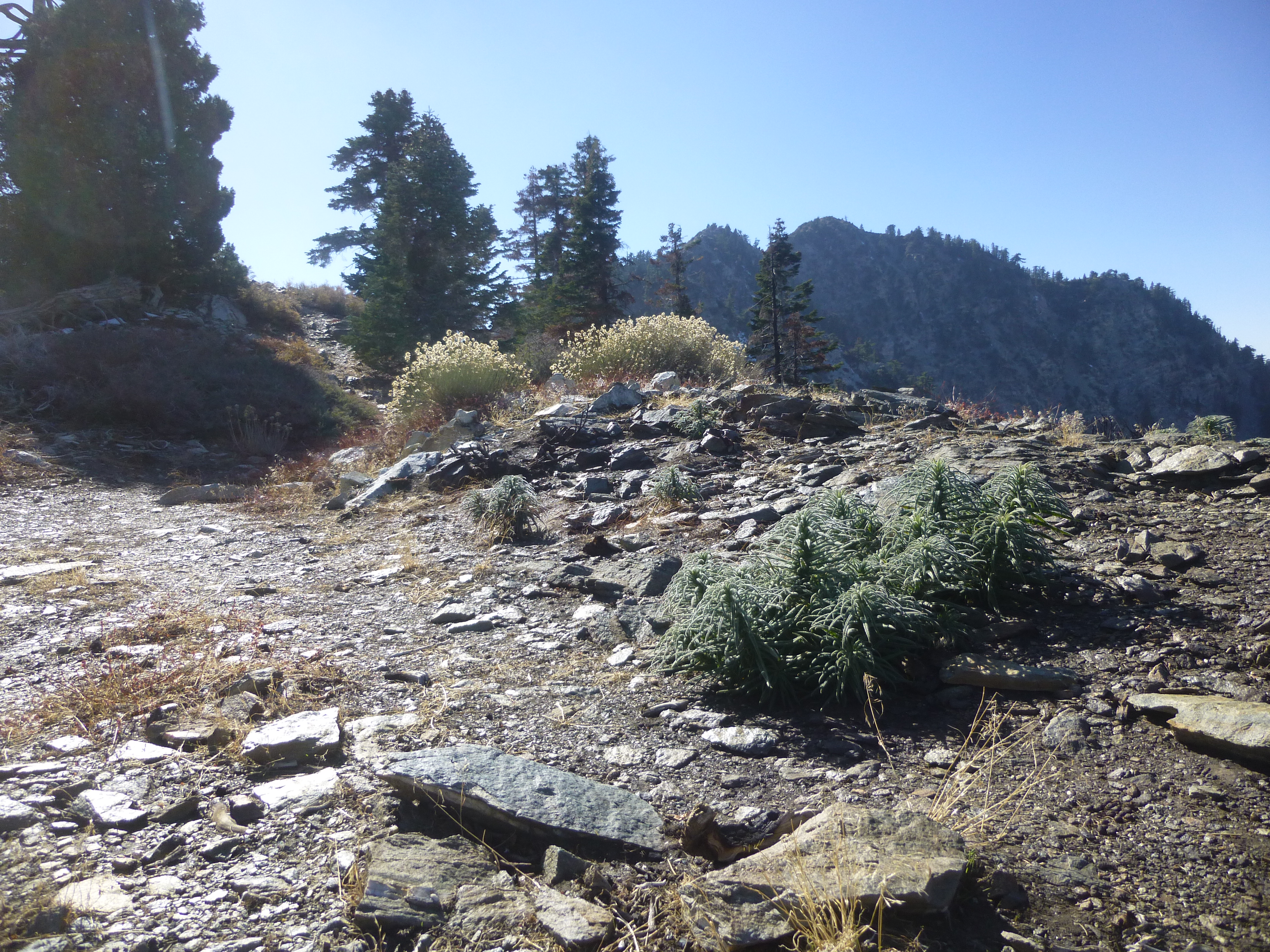
This PDB is on the western highpoint of Gunsight Notch (7450').
-
walker
- Posts: 248
- Joined: Mon Apr 08, 2013 11:14 pm
Would you like some mustard on your poodle-dog?
Have a seat and enjoy the view:
And there were even bigger and thicker groves of the stuff further up along the road to Vetter Mtn. A couple of months ago, that is.
Have a seat and enjoy the view:
And there were even bigger and thicker groves of the stuff further up along the road to Vetter Mtn. A couple of months ago, that is.
-
Taco

- Snownado survivor
- Posts: 6192
- Joined: Thu Sep 27, 2007 4:35 pm
I'm going to plant that EVERYWHERE!!!! Muahahahahah! Bio-terrorism on a tiny scale.