Pacifico Mountain via Alder Saddle

TRs for the San Gabriel Mountains.
Post Reply
User avatar
Uncle Rico
Posts: 1394
Joined: Thu Mar 20, 2008 7:48 pm

Post by Uncle Rico »

With the temps finally falling, I figured this weekend presented the perfect opportunity to explore Pacifico Mountain, an area that I’ve been wanting to see for some time now. The original plan was to park at Pinyon Flats and hike up the PCH to its junction with the fire road leading to the summit. But on my way up the ACH on Saturday morning, I kept seeing bunches of dudes at every turn-out dressed in full-on camo. Same thing when I got the 3 Points. The parking lot was packed with trucks and there was a bunch of guys in camo milling about. Wtf? Then it dawned on me: Opening Day. The forest would be crawling with guys carrying guns. This was confirmed when I stopped and spoke to 2 guys parked along the Santa Clara Divide Road. Good thing I didn’t bring my antler hat for this hike.

Not being familiar with this stretch of the PCT, and figuring that I should avoid moving through the undergrowth and being mistaken for a trophy buck, I decided to change plans. Instead of going up the PCT, I’d park at Alder Saddle and go up 3N17. That way, I’d be completely out in the open and couldn’t be mistaken for buck. The downside to being out in the open is being out in the open. I kinda like moving through the forest under its cover. The upside to being out in the open is being out in the open. Going up the fire road afforded impressive view into the Alder Creek drainage that I wouldn’t have seen had I gone up the PCT.

When I arrived at Alder Saddle, the parking lot was packed with hunters. I squeezed into the only available parking spot right next to the road and gathered together my gear. Talked to a couple of hunters and everyone was chill. Despite the crowds in the parking lot, I didn’t see anybody all day after that. The fire road was lonely and the campground atop Pacifico was empty. I didn’t mind. Drank a Lagunita’s IPA when I got back to the car. Sweet!

Some pics.

Image
Looking into Middle Fork Alder Creek

Image
Mt. Hilyer from 3N17

Image
Looking back down at 3N17. Waterman in the background.

Image
Burned tree.

Image
East side of Pacifico

Image
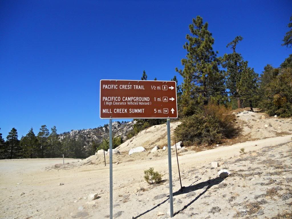
Intersection of 3N17 and road to the summit

Image
Granite Mtn and Roundtop from the road to the summit (?)

Image
Pacifico Campground at the summit. Nice.

Image
Summit block (I think). Since I was solo, I didn't attempt this.

Image
Summit view into Santiago Canyon (again, I think)

Image
Looking west from the summit

Image
Looking toward Baldy. What IS that white stuff.

Image
Pacifico love

Image
Camp spot view.

Image
This didn't really apply to Pacifico, but I couldn't resist.

Cheers.
User avatar
HikeUp
Posts: 3847
Joined: Thu Sep 27, 2007 9:21 pm

Post by HikeUp »

Excellent. TR!!!
User avatar
tekewin
Posts: 1194
Joined: Thu Apr 11, 2013 5:07 pm

Post by tekewin »

Awesome report, Rico.

I've looked at my map and noticed the remote dot that is Pacifico. Thanks for adding some color to that dot.

The terrain looks kind of sandy. Is it?
User avatar
Uncle Rico
Posts: 1394
Joined: Thu Mar 20, 2008 7:48 pm

Post by Uncle Rico »

Hey thanks guys.

teke, I wouldn't call the terrain sandy. Lots of decomposing/decomposed granite. It was granular, but easy to traverse. One could easily ride an MTB up 3N17 and not curse because of loose conditions.
User avatar
Sean
Posts: 3749
Joined: Wed Jul 27, 2011 12:32 pm

Post by Sean »

Thanks for the cool report and pictures. I've never been to this mountain. Do you know if there is water anywhere along the route or nearby? My map shows two springs on either side of Pacifico (Fountainhead and Sheep Camp). Does anyone know if they are active year-round?
User avatar
lilbitmo
Posts: 1092
Joined: Tue Mar 04, 2008 9:44 pm

Post by lilbitmo »

Uncle Rico wrote: Image
This didn't really apply to Pacifico, but I couldn't resist.

Cheers.
Could not have said it better and I think most of us feel the same way, great TR and Pictures Uncle Rico :D
User avatar
JeffH
Posts: 1154
Joined: Sun Nov 28, 2010 7:09 am

Post by JeffH »

Uncle Rico wrote:
The downside to being out in the open is being out in the open.... The upside to being out in the open is being out in the open.


Drank a Lagunita’s IPA when I got back to the car. Sweet!
This is quite profound.
Nice report and a good finish. Just like the beer.
"Argue for your limitations and sure enough they're yours".
Donald Shimoda
User avatar
Hikin_Jim
Posts: 4686
Joined: Thu Sep 27, 2007 9:04 pm

Post by Hikin_Jim »

Sean wrote: Thanks for the cool report and pictures. I've never been to this mountain. Do you know if there is water anywhere along the route or nearby? My map shows two springs on either side of Pacifico (Fountainhead and Sheep Camp). Does anyone know if they are active year-round?
Neither has a reputation for being reliable. The PCT water report typically pans them. However, the last report for for Fountainhead dtd 9/18/2013 was "flowing a little; usable".

HJ
User avatar
Hikin_Jim
Posts: 4686
Joined: Thu Sep 27, 2007 9:04 pm

Post by Hikin_Jim »

Rico,

How was the road? Standard passenger cars always used to be able to get up it. Now?
Image

HJ
User avatar
Uncle Rico
Posts: 1394
Joined: Thu Mar 20, 2008 7:48 pm

Post by Uncle Rico »

Whoa, thank guys for all the cool comments.

Sean- I didn't see any water, but I did see the same springs on the topo that you mentioned. Didn't have time to go check out Sheep Camp Spring. There is a water tank on the north side of 3N17 just shy of the connector to the summit, but I didn't see anything feeding into it.

Jimbo- the road was pretty dang smooth. Other than the 2 trees I mentioned in my other post, this is pretty much the worst I saw. Throw a couple of rocks off the road and a 2WD wouldn't have any trouble.

Image
User avatar
turtle
Posts: 152
Joined: Wed Jan 27, 2010 11:35 am

Post by turtle »

Thanks for the TR Uncle Rico!

I've always heard about the boulders atop Pacifico, and have considered heading there for some uncrowded climbing. Nice to get a closer look at what's up there.
Post Reply