The first section, the road from Eaton Saddle to Markham Saddle, I covered in my Mueller Tunnel update.
The trail portion takes of from Markham Saddle and heads SW.
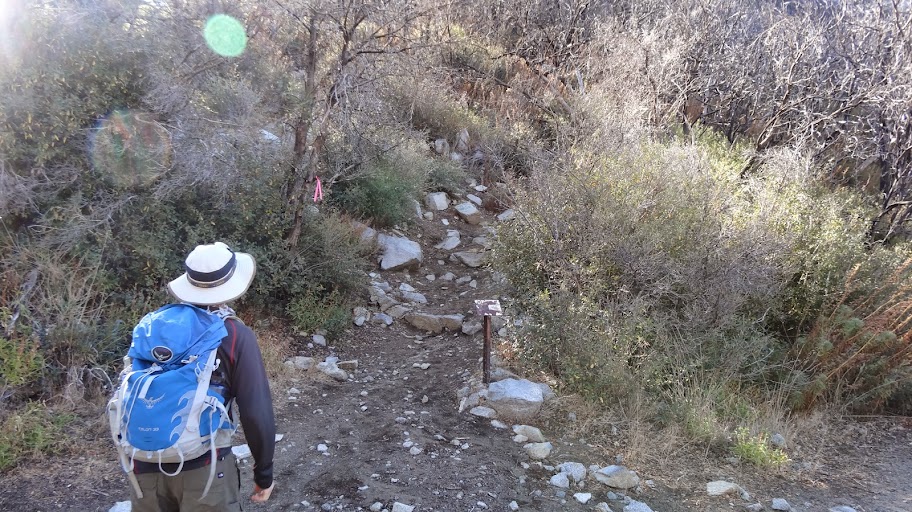
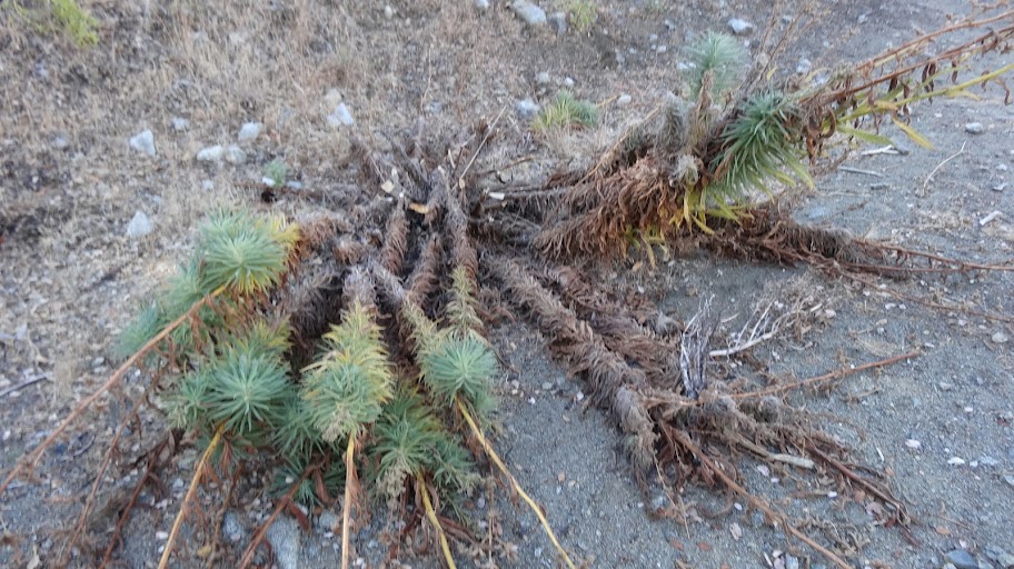
The trail is in decent shape, but there's a lot of the Brutal Poodle (poodle dog bush, Turricula Parryii, which gives one a really unpleasant rash).
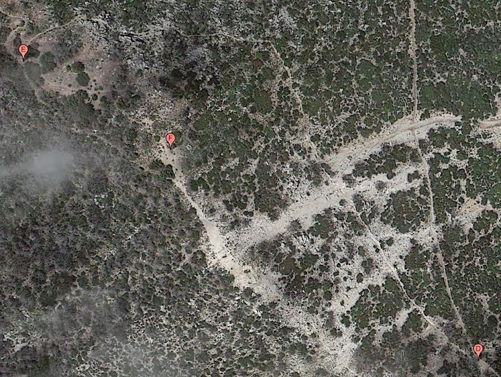
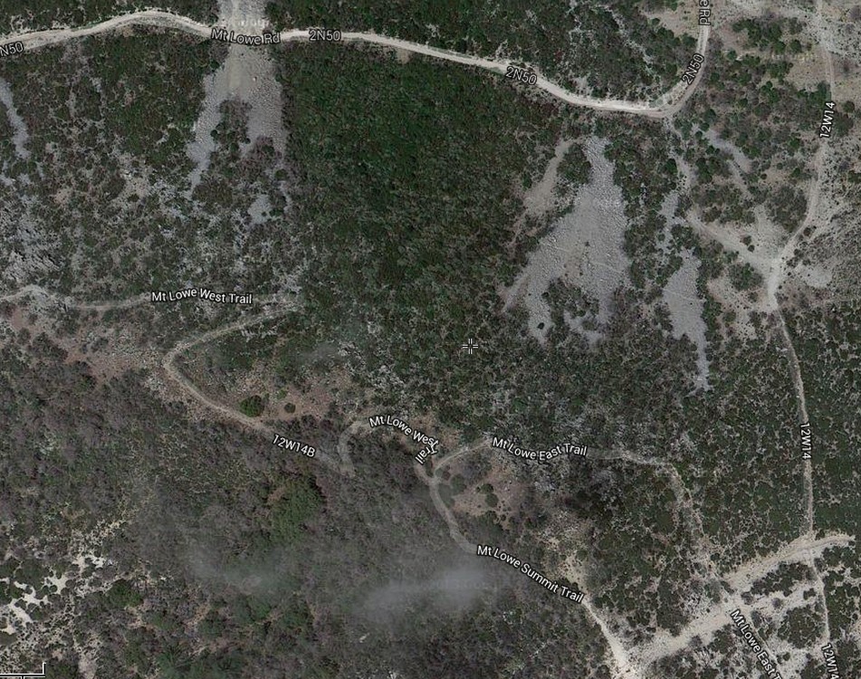
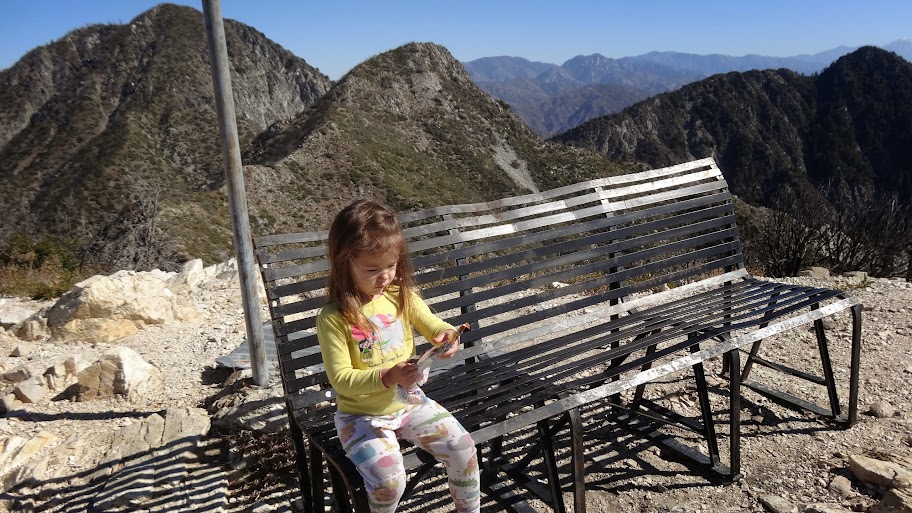
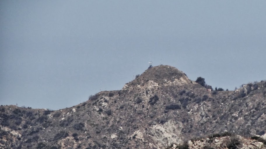
We went first to the summit of Mt. Lowe. To get there, we headed up to the junction high on the east side of Mt. Lowe, which is at point "D" on the above linked map.
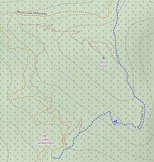
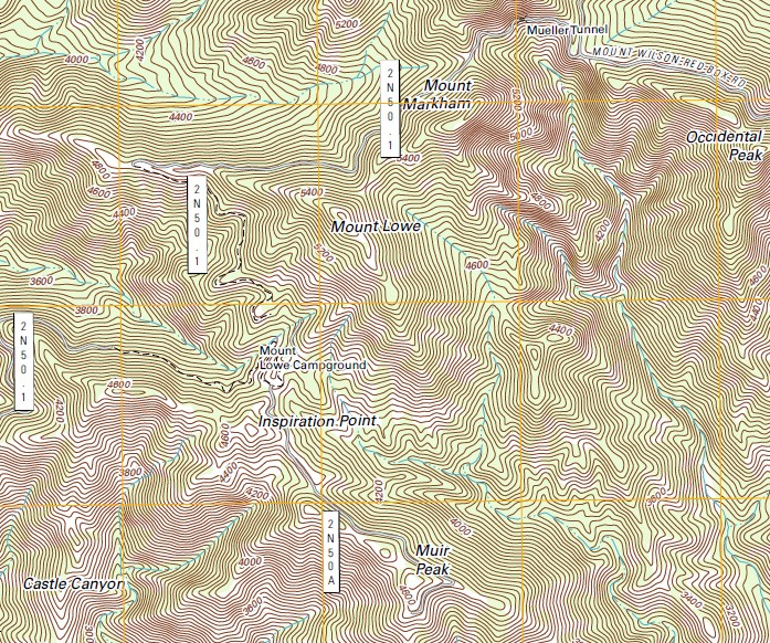
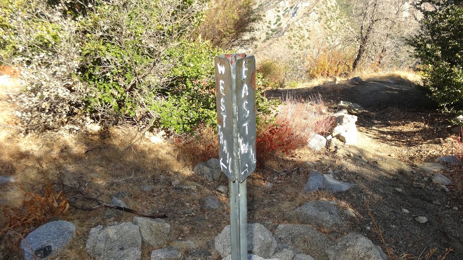
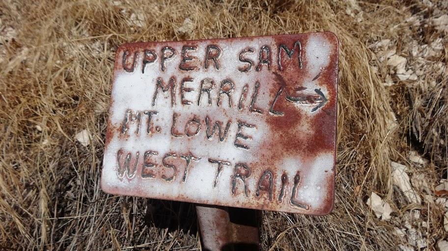
Note that the topo map is wrong. The topo map places the junction far lower. Nope. Switch to satellite view, and you can see the junction clearly. The topo map also labels the trail on the east side of the mountain as "MT LOWE WEST TRAIL." Um, no. Oddly enough, the west trail is on the west side of the mountain. Sorry, USGS. Fail.
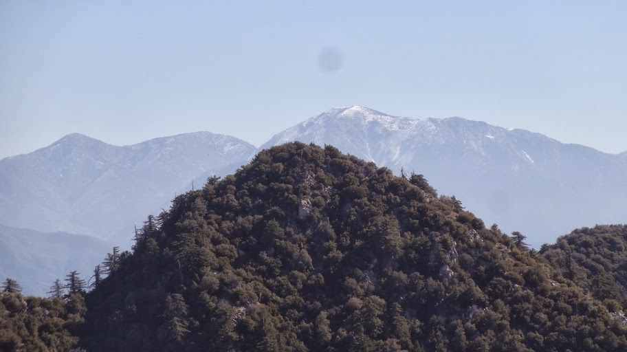
From the summit, we had some great views, including snow capped Mt. Baldy.
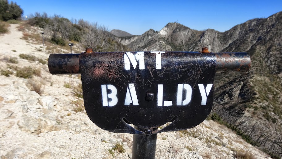
In case you weren't sure which peak is Mt. Baldy, no worries; there's a view tube singling it out.
The old bench is still present on the summit. Talk about built to last!
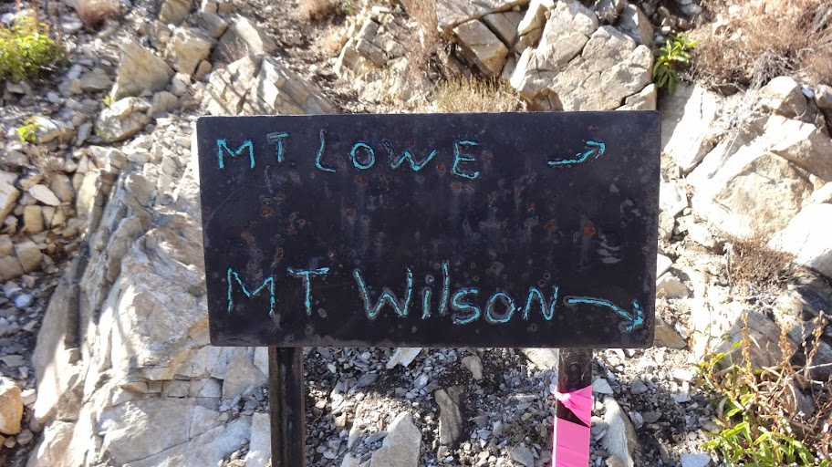
From the summit (point "F"), we went to the summit junction (point "G") where we picked up the Mt Lowe West Trail. The topo map is wrong about which trail is "west" and which trails is "east," but the sign at the junction is correct.
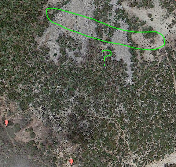
Descending the Mt Lowe West Trail, we came to this lone view tube. It wasn't labeled that I could see.
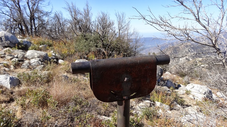
But what's it pointing at? Darned if I know, but here's a photo taken looking right down the tube. Anybody know what that is?
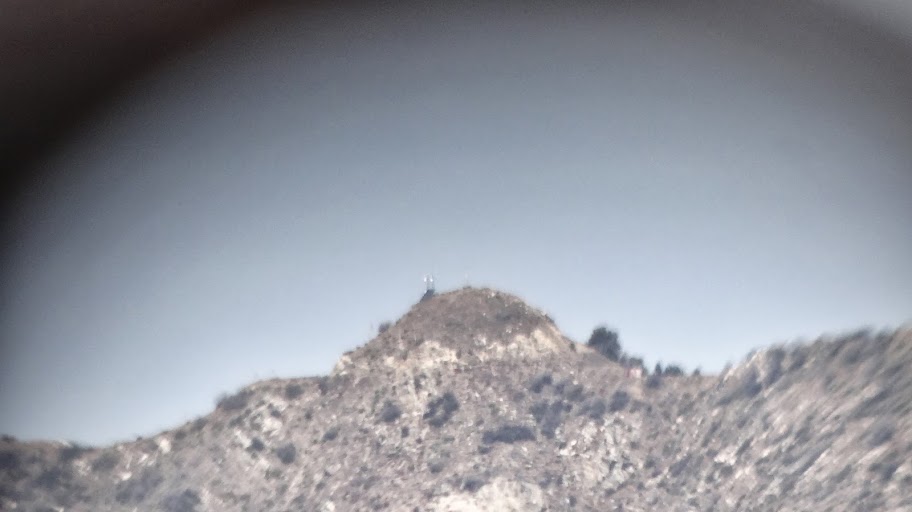
There's some kind of antenna on it. Here's little clearer shot (with no sidewalls of the tube):
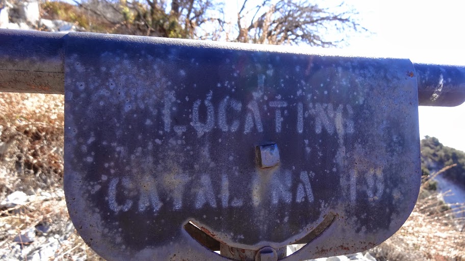
Lots more view tubes en route, including some that can just barely be read like this one "Locating Catalina Is."
One encounters 2N501 again at about point "G".
Crossing the road, we took the short trail down to Mt. Lowe Trail Camp.
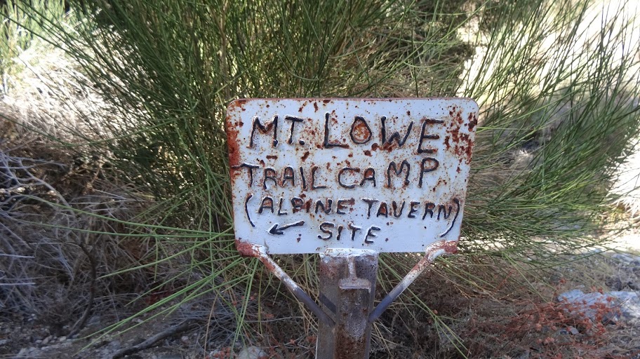
The sign is a little brushy, but...
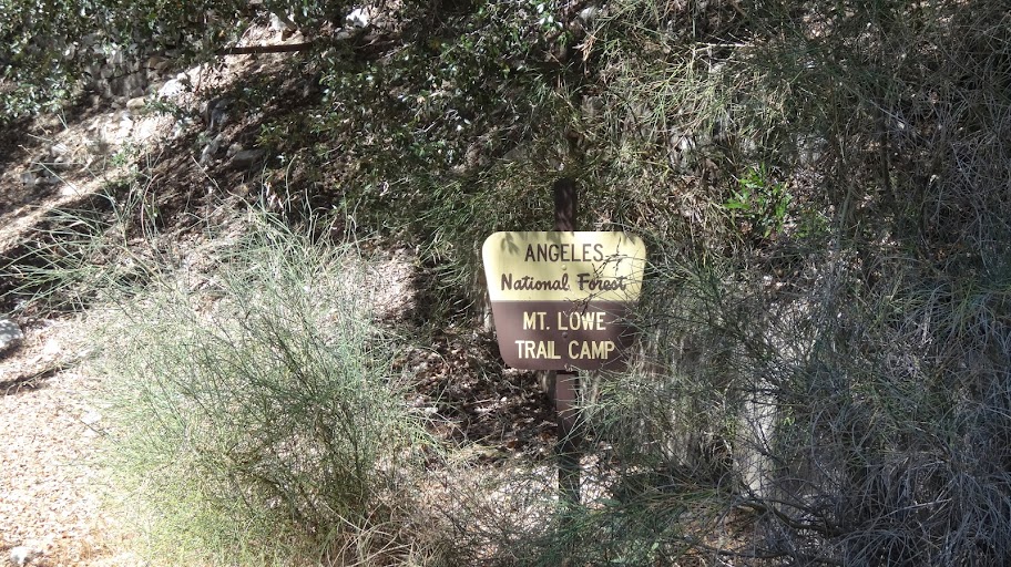
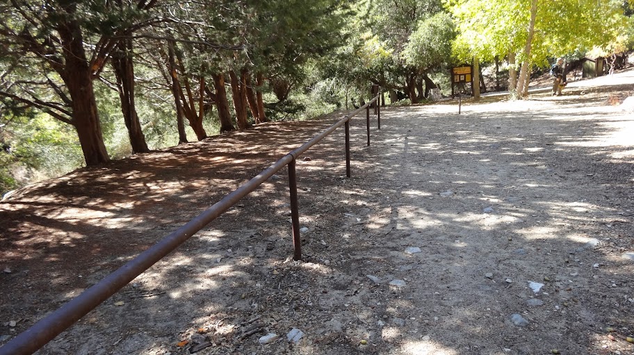
... the camp itself is fine.
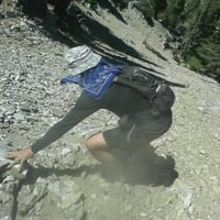
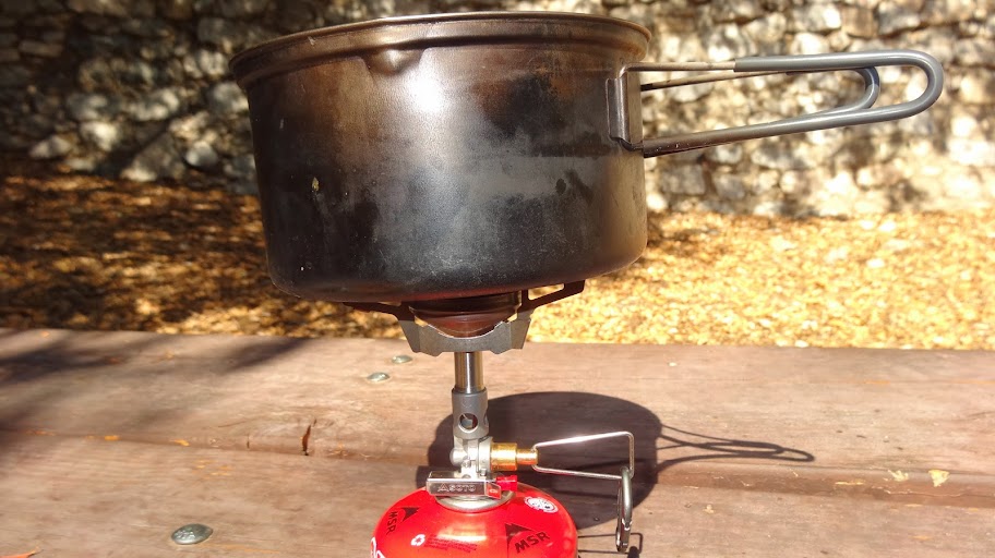
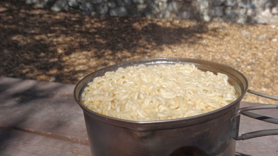
We got a little water from the tank. The tank is nearly dry, and the water tunnel itself was dry according to the backpacker who was staying there. With the water, we made some nice noodles for lunch.
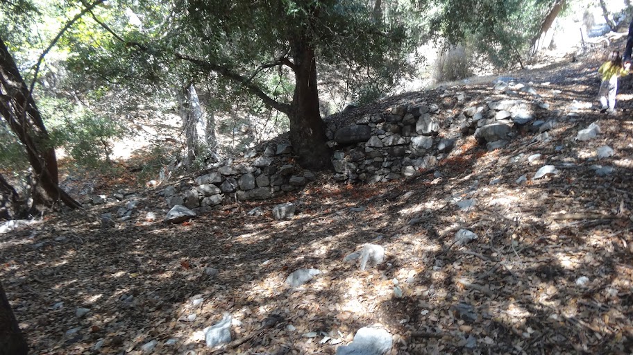
After lunch, we headed up the short side trail back to the road. En route, we passed some of the foundations of the old housekeeping cabins that used to dot the trail.
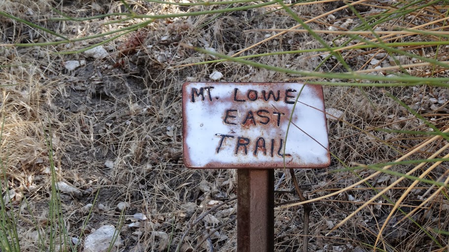
Reaching the road, we turned right, and took the Mt. Lowe East Trail for our return leg.
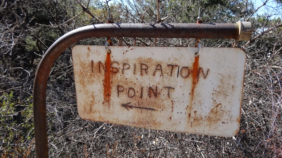
After perhaps a quarter of a mile, we came to a junction with a short cut trail to Inspiration Point
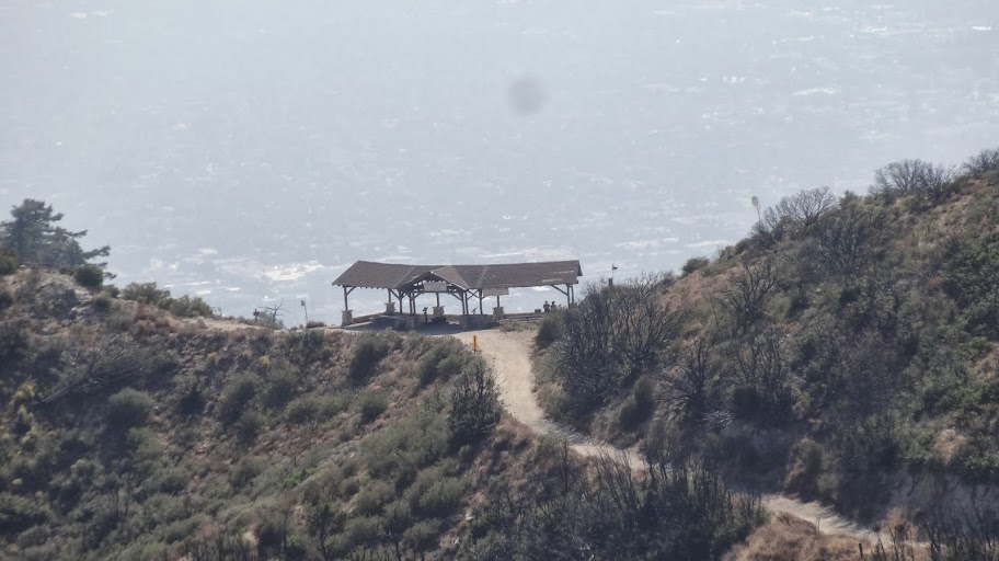
From the junction, we could see the shelter at Inspiration Point quite clearly.
From here, our trail swings out to the east to get around the shoulder of Mt. Lowe (Pt. "J") and then links up with the trail coming up from Markham Saddle at point "D". From the junction at point "D", we retraced our steps back to our car.
I very fun outing on a very fine day. My four year old daughter did about 90% of the hike under her own power. On last week's hike in the San Jacinto Mountains, she did 100% of the hike under her own power. Pretty cool progress she's making these days!
HJ