FYI - Lily Spring is Dry
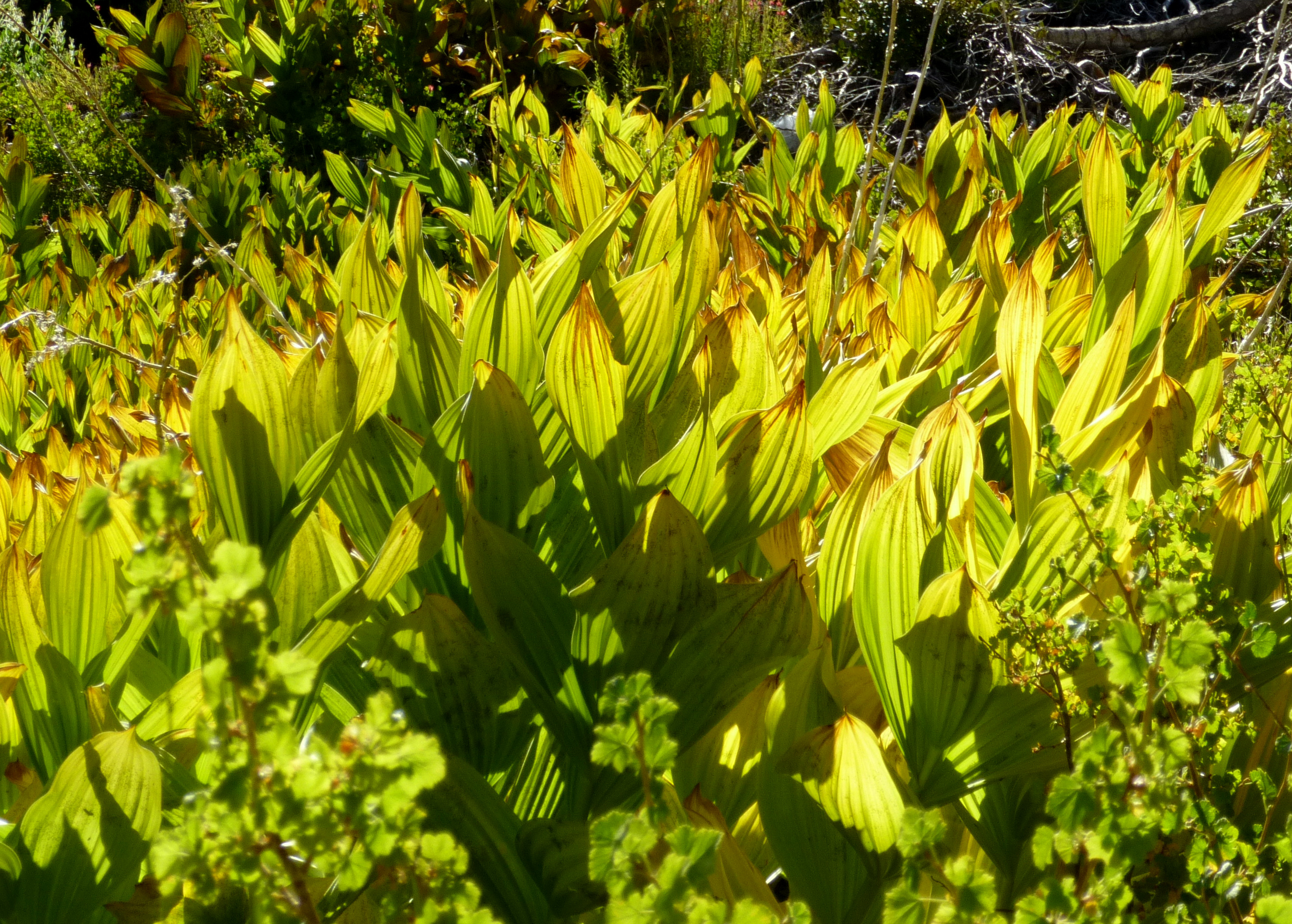
If you look on your Harrison topo map, Lily Spring is located northwest of Mt. Hawkins, about 850 vertical feet, or 0.4 miles, down from the summit. I accessed it starting from the tree-shaded western slope of the broad gully and gradually working over to the middle. The spring is somewhere around the 8,000' mark, amongst a large patch of lilies. While some of the ground was still moist, a flow could not be found anywhere in the vicinity. Several smaller lily patches were observed here and there in nearby sister gullies, but they were dry too. I suspect this spring went dormant around the beginning of summer, or earlier.
I had come from Crystal Lake and Windy Gap to familiarize myself with Lily Spring. It is a potential water source for the Death March course. However, it's 400 feet below the PCT and would probably constitute a 15-20 minute diversion.
After sitting awhile in the shade, eating an orange, I went up the gully to Mt. Hawkins and then returned to Crystal Lake under the blazing sun. Thankfully a light breeze, and the water at Little Jimmy Spring, helped cool me down.
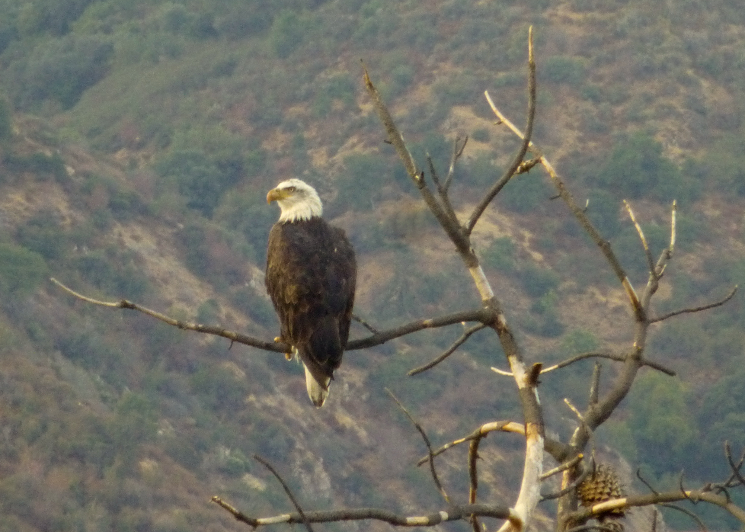
Eagle
Windy Gap Trail
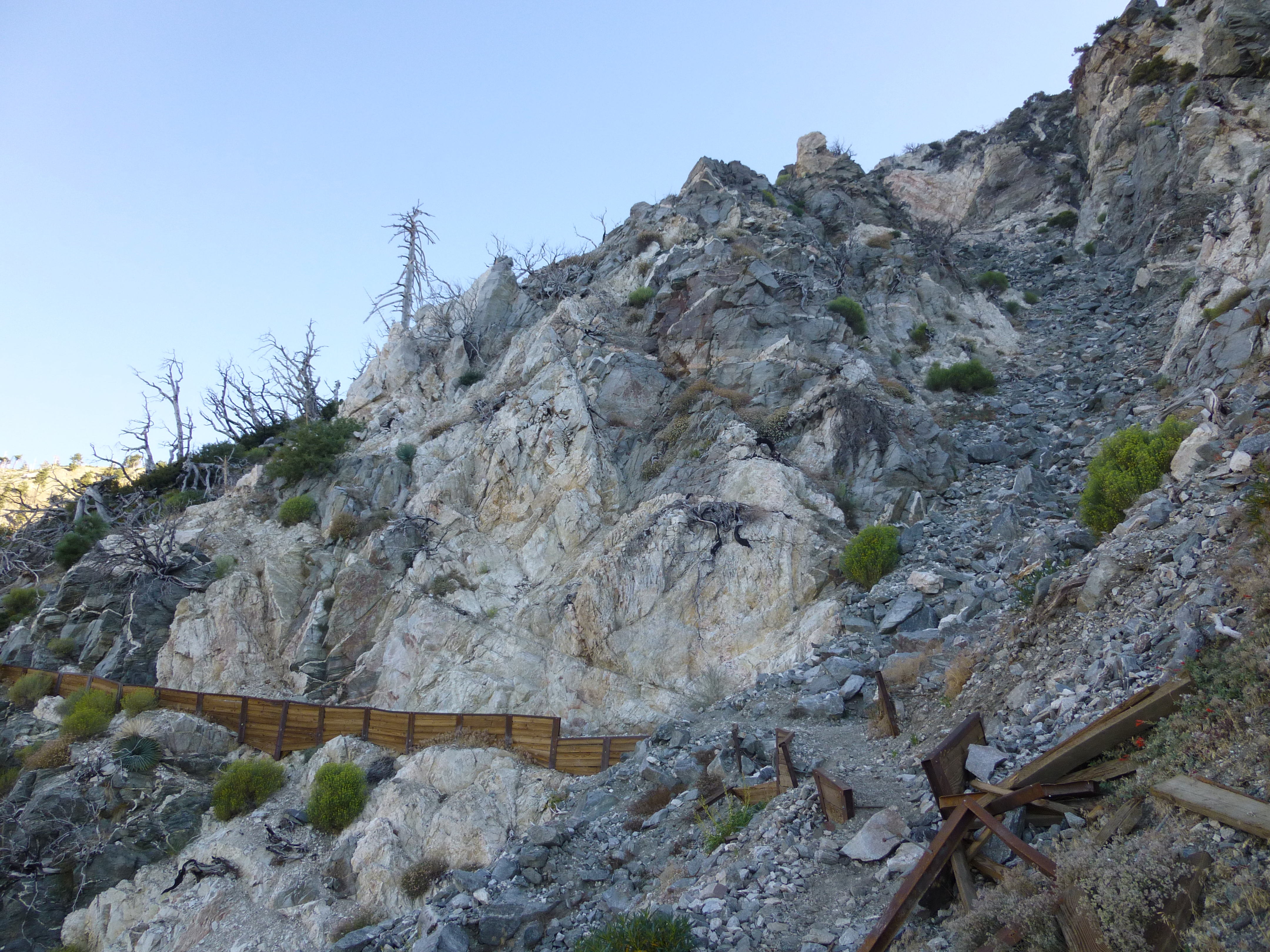
Drop-in (left) to Lily Spring
Among the lilies of Lily Spring
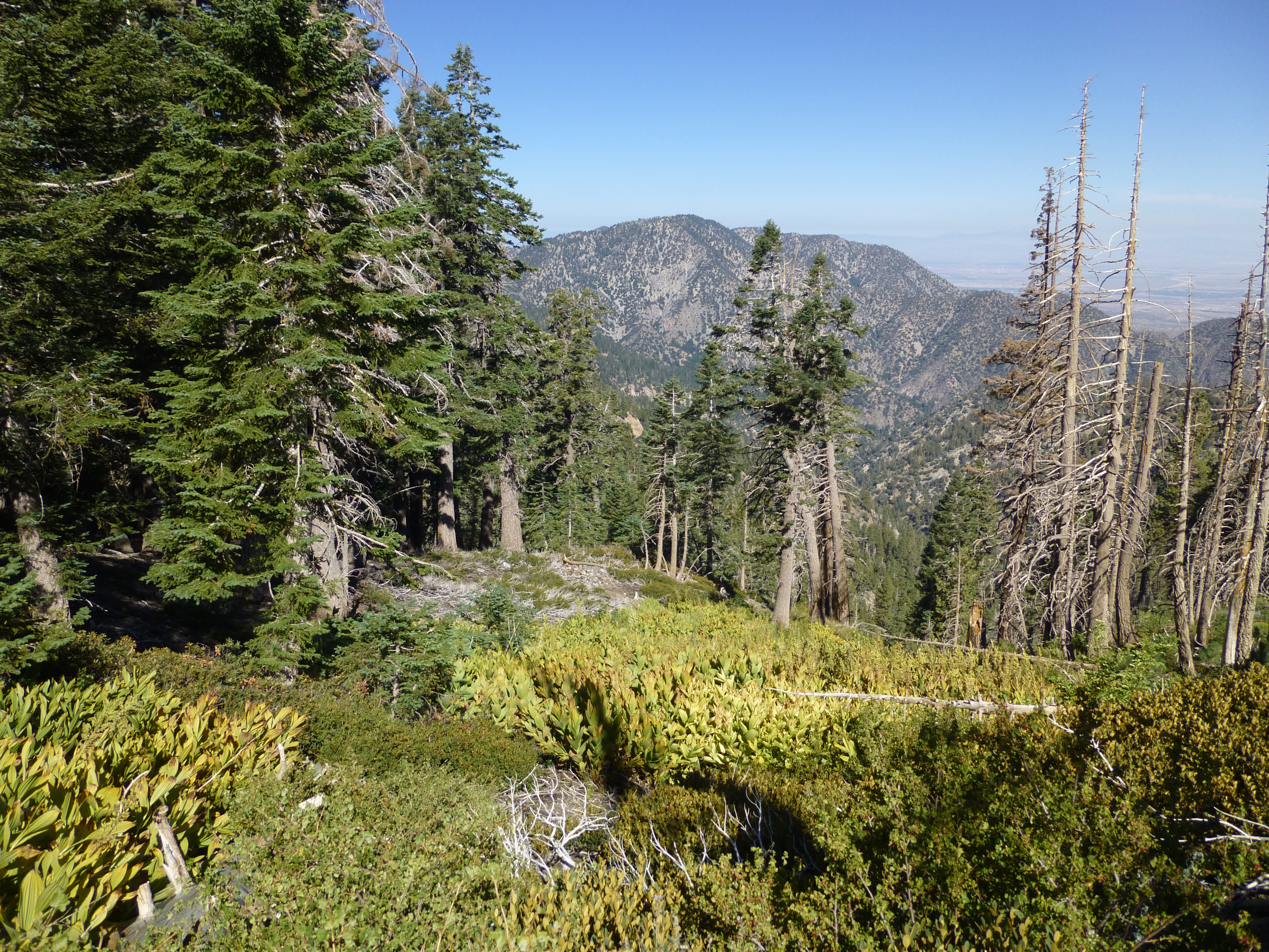
Back on the PCT
South Fork of Big Rock Creek
I had come from Crystal Lake and Windy Gap to familiarize myself with Lily Spring. It is a potential water source for the Death March course. However, it's 400 feet below the PCT and would probably constitute a 15-20 minute diversion.
After sitting awhile in the shade, eating an orange, I went up the gully to Mt. Hawkins and then returned to Crystal Lake under the blazing sun. Thankfully a light breeze, and the water at Little Jimmy Spring, helped cool me down.
Eagle
Windy Gap Trail
Drop-in (left) to Lily Spring
Among the lilies of Lily Spring
Back on the PCT
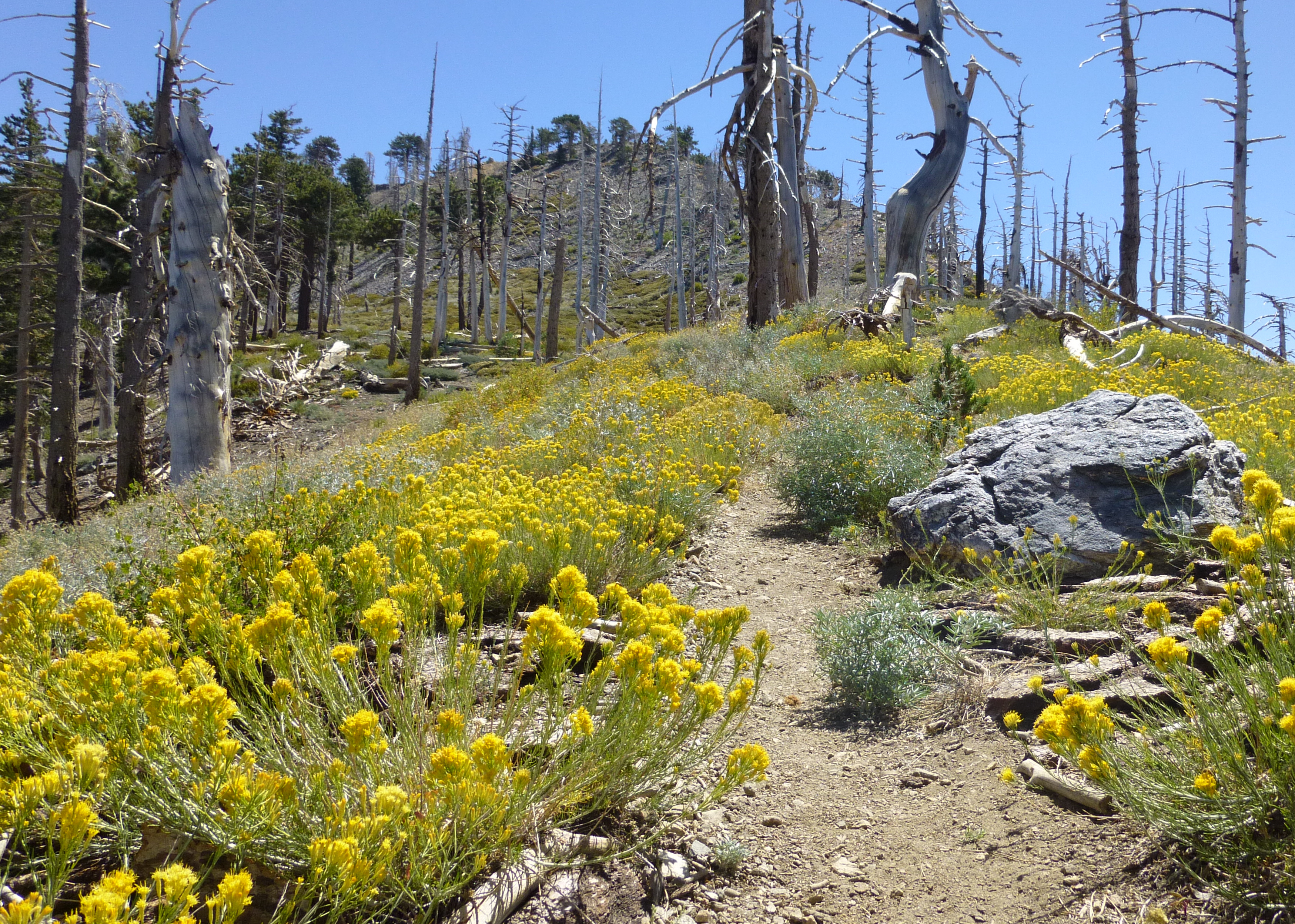
South Fork of Big Rock Creek
Sean, you are so very lucky to see that eagle! Thanks for the pics!
Some of us have looked at Lily Spring and thought about hiking to it. We'll wait for another year, I guess...
- Uncle Rico
- Posts: 1439
- Joined: Thu Mar 20, 2008 7:48 pm
Nice Eagle pic. You've been seeing some good wildlife lately Sean.
Looking over my map in the past, I've wondered about Lily Spring. In a less dry year, is it supposed to be flowing or is it just more of a seep?
I have been down there several times over the last 30 years and have never seen any flowing water
I don't think I have ever seen an eagle either so... Excellent shot
I presume there is water at Little Jimmy?
It was my first time at Lily Spring, so I don't actually know if it flows. I was assuming it did during springtime. A non-Harrison map shows two springs in the area. I'm going to check it again whenever the snow melts next spring.
Little Jimmy is still a good, steady flow.
of the three area springs Cortelyou, Little Jimmy, & Lily. Only Little Jimmy flows these days.
Reed Spring below Islip saddle flows in Spring with varying vigor and length of time
I don't know about White Fir or the other unnamed spring above the highway
Lamel is another trusted & Faithful water source
Why these springs (Cortelyou & Lily) are going dry is an interesting question. Wish I had some informed insight.
My guess is twofold.
1. Climate change.
2. lack of maintenance