Having previously hiked Momyer and Vivian, I acquired a permit for the new-to-me South Fork Trailhead. Almost immediately upon starting up South Fork, I felt uncomfortable. More precisely, my rectum felt uncomfortable. It was terribly confused and almost certainly on the brink of making a horrible mistake.
How could this be happening? Earlier that morning I had felt right as rain following two successful bowel movements. Was it the drive up to 6900'? The smell of horse shit in the parking lot? The miserable chair I sat on the previous day, waiting in the jury assembly room in downtown LA? More likely it had something to do with a pound of Muenster cheese and an entire box of Triscuit snack crackers.
In any case I reached Horse Meadows without incident, but was subsequently compelled to leave a little something behind on Poopout Hill. Don't worry, it's buried under a couple inches of dirt and some rocks. So it won't ruin your next excursion to Poopout, should you visit within the next few days.
Looking at the crappy map given out at the Ranger Station, it took a few minutes to realize that the trail descending southeast from Poopout would not take me to Dollar Lake, which was currently my arbitrary goal for the day. So, back on the main trail I hopped, only to re-encounter a backpacker I had passed about fifteen minutes prior. He told me that Dollar Lake was dry. Oh, well, at least my rectum felt much better.
Indeed Dollar Lake was bone-dry. So instead of splashing around in the water, I sat in the shade and ate the footlong Subway sandwich that I had been carrying for 6.5 miles.
I had achieved my goal of reaching Dollar Lake, but being dry it created a sense of failure in me. I blamed myself for expecting too much from nature. After all, this was the month of August. Who in their right mind would expect such a small lake to endure this far into summer?
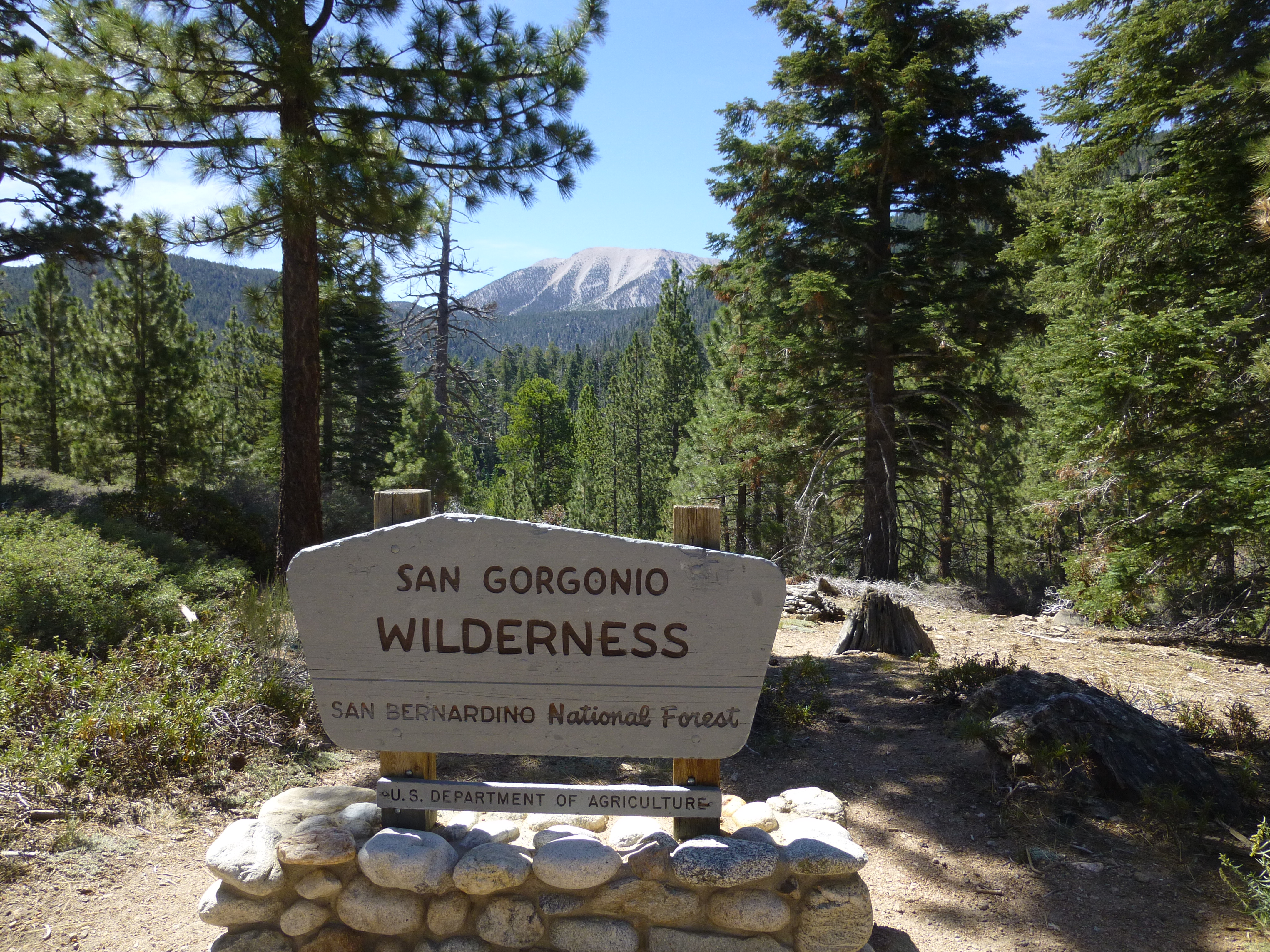
Hoping to redeem myself, I proceeded to Dollar Lake Saddle (10,000'), with the intention of bagging some peaks and then descending via the Forsee Creek Trail. According to the crappy map, Forsee would eventually take me back to Jenks Lake Road, a mile or two from my car.
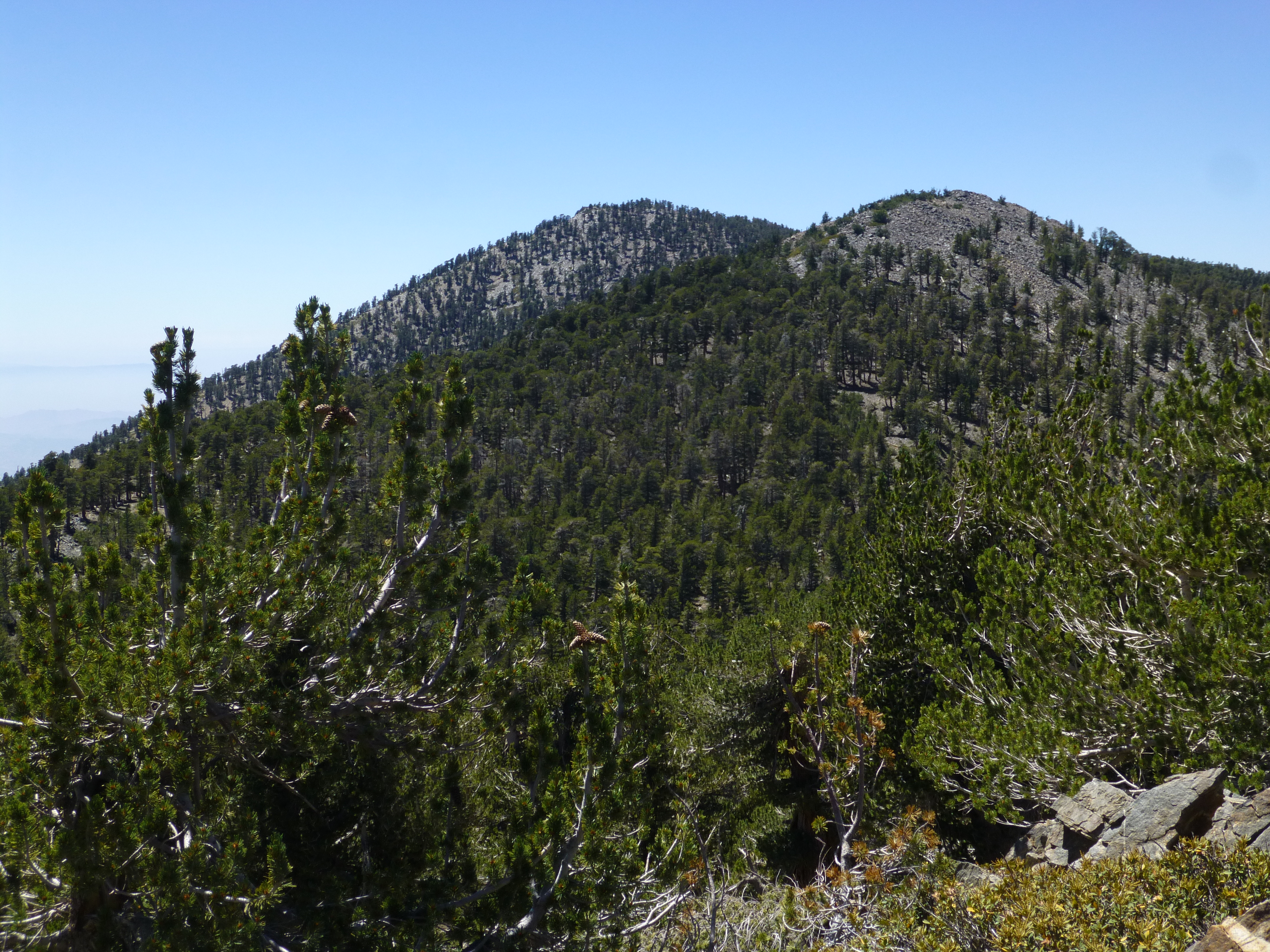
After the Saddle, I continued up the San Bernardino Divide Trail, with which I was somewhat familiar, having walked it last year for Nine Peaks. I touched Alto Diablo's teeny little peaklet, then scrambled up the rockpile on Shields. Then for some reason, while hiking up to Anderson, I fully thought I was bagging East San Bernardino Peak. I had convinced myself that Anderson was the next one over, and this notion persisted throughout the hasty register signing and retreat back to the Forsee Trail junction. In fact, despite it being my second time up there, I failed to realize my wrongheadedness until later that evening, after returning home and scrutinizing my detailed Harrison map of the area. I felt even more foolish when I noticed that even the crappy map clearly identified Anderson in the proper place, and I simply hadn't been thinking straight. Given my obvious state of confusion, it was a true miracle that I managed to find the Forsee Creek trail.
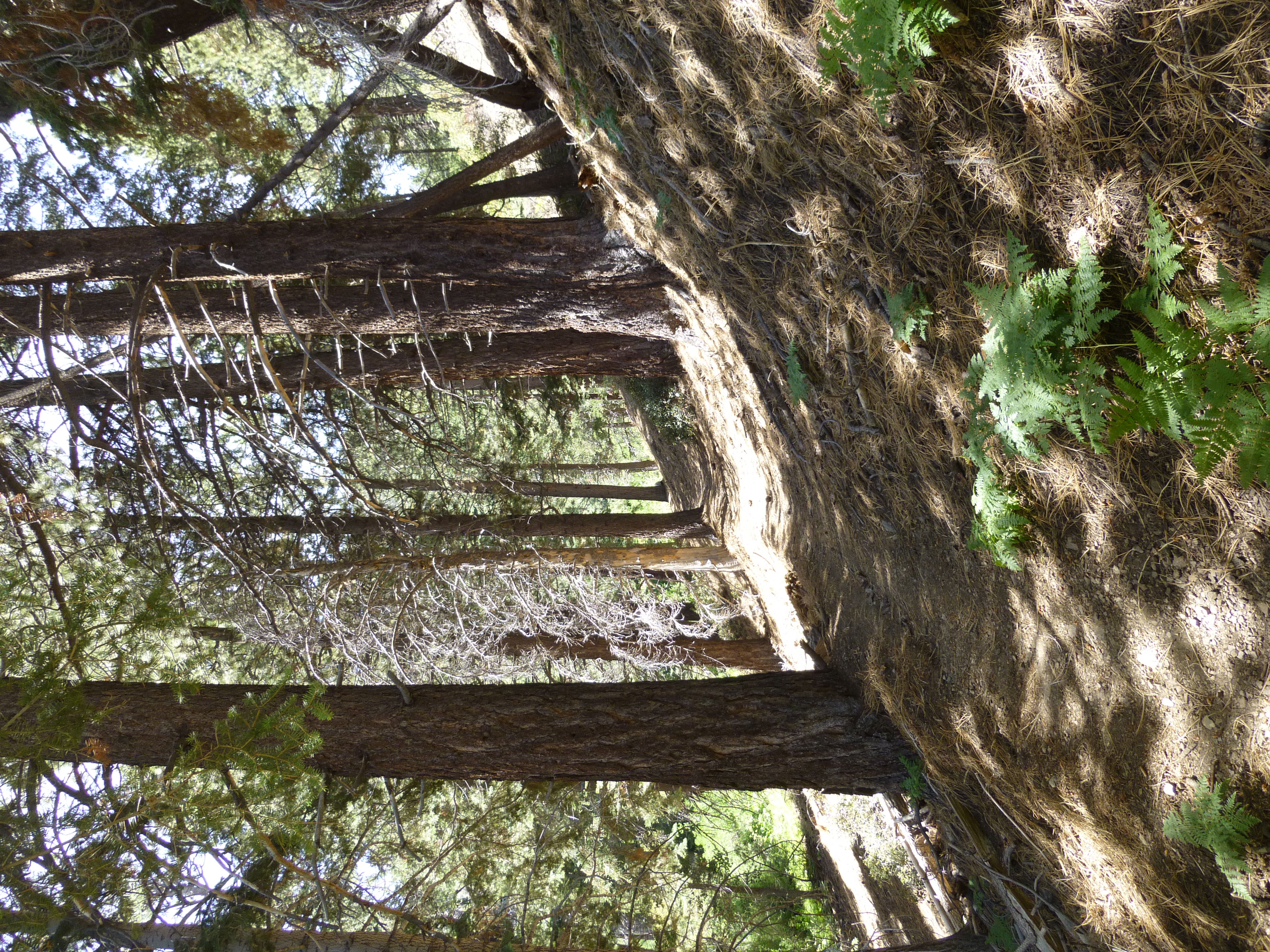
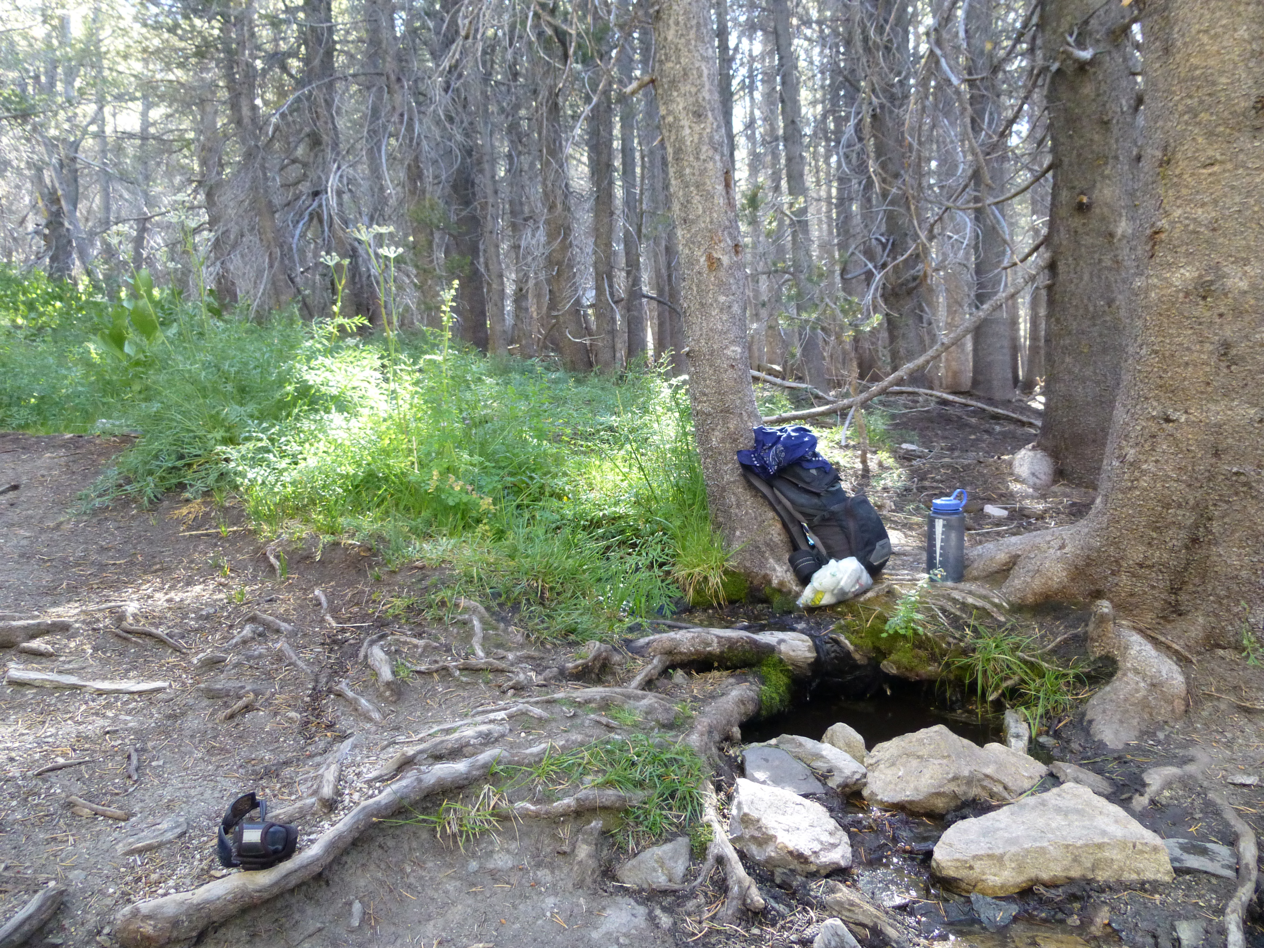
Forsee offered a delightful and often lush descent through copious amounts of trees and canyons. I scored water at both Trail Fork Springs and Jackstraw Springs. Trail Fork was very weak, but Jackstraw still had some vigor.
While Forsee definitely had its charms, mentally I was finished. To stay alert I invented hiking mantras and sung them over and over in my mind.
"Some will tell you it's been said,
I will hike until I'm dead."
Thankfully I reached the car and didn't die, 20 miles and 9 hours after beginning.
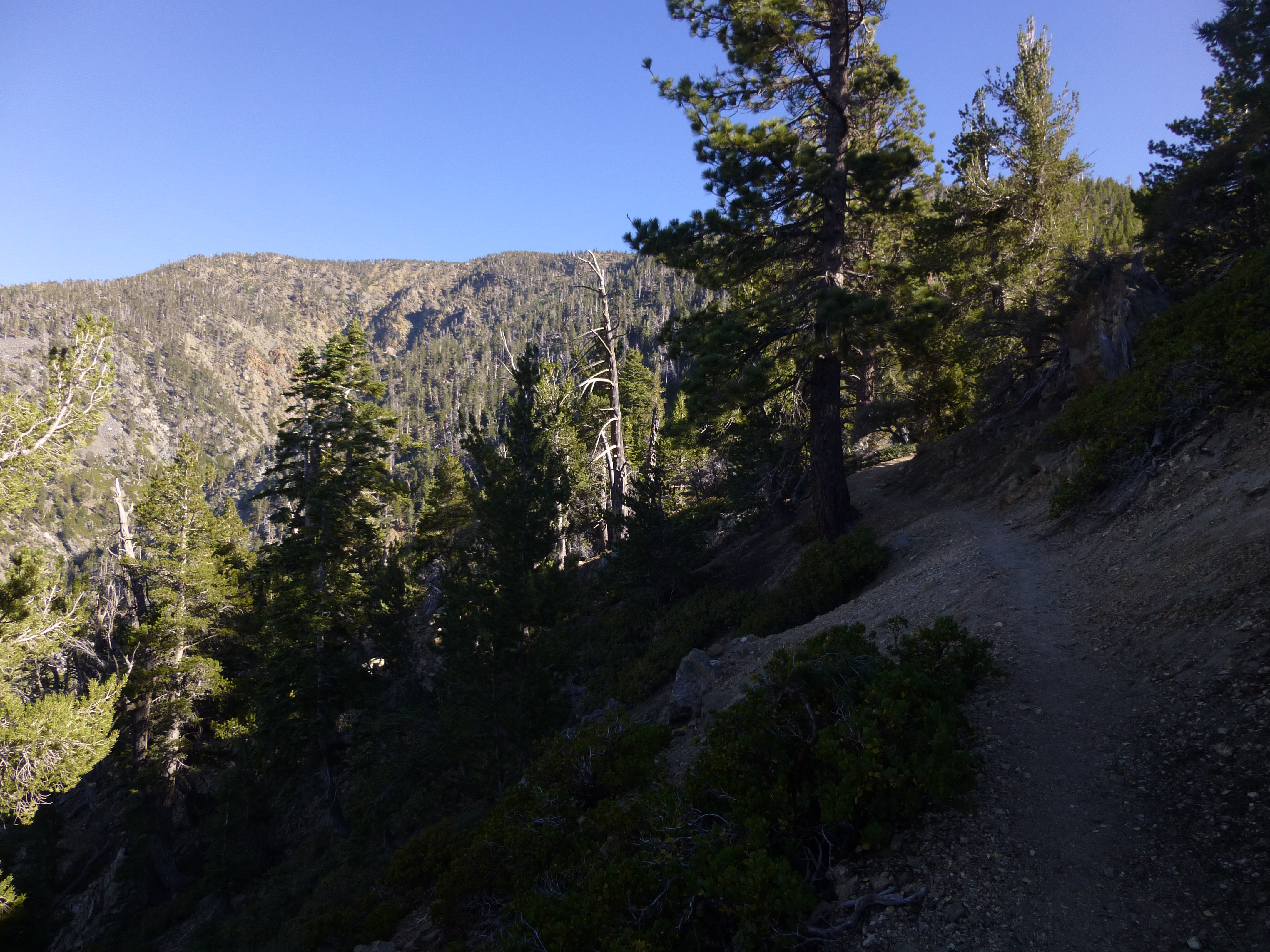
South Fork Trail
Viewing Gorgonio from Poopout Hill
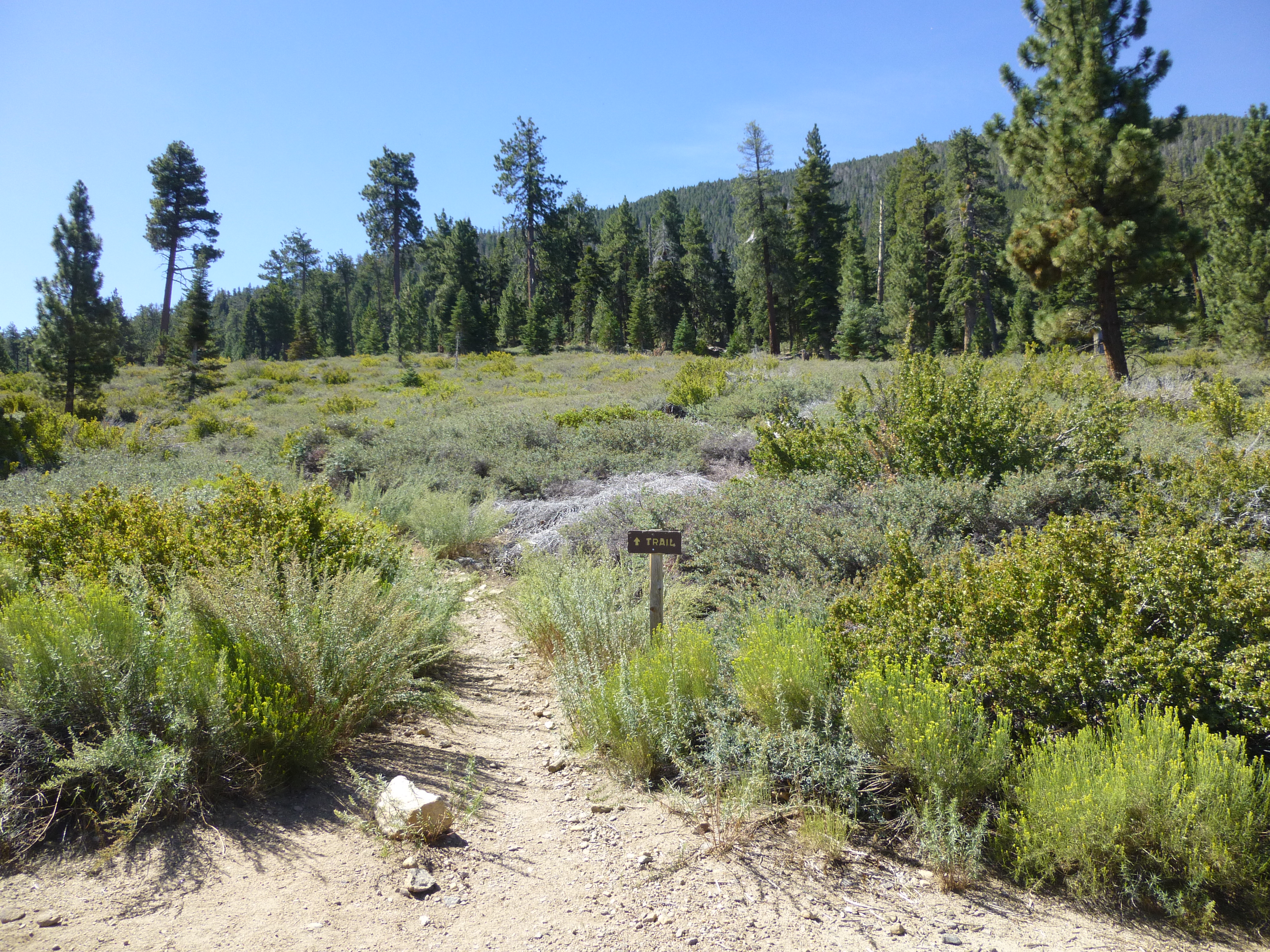
Transitioning to the Dollar Lake Trail
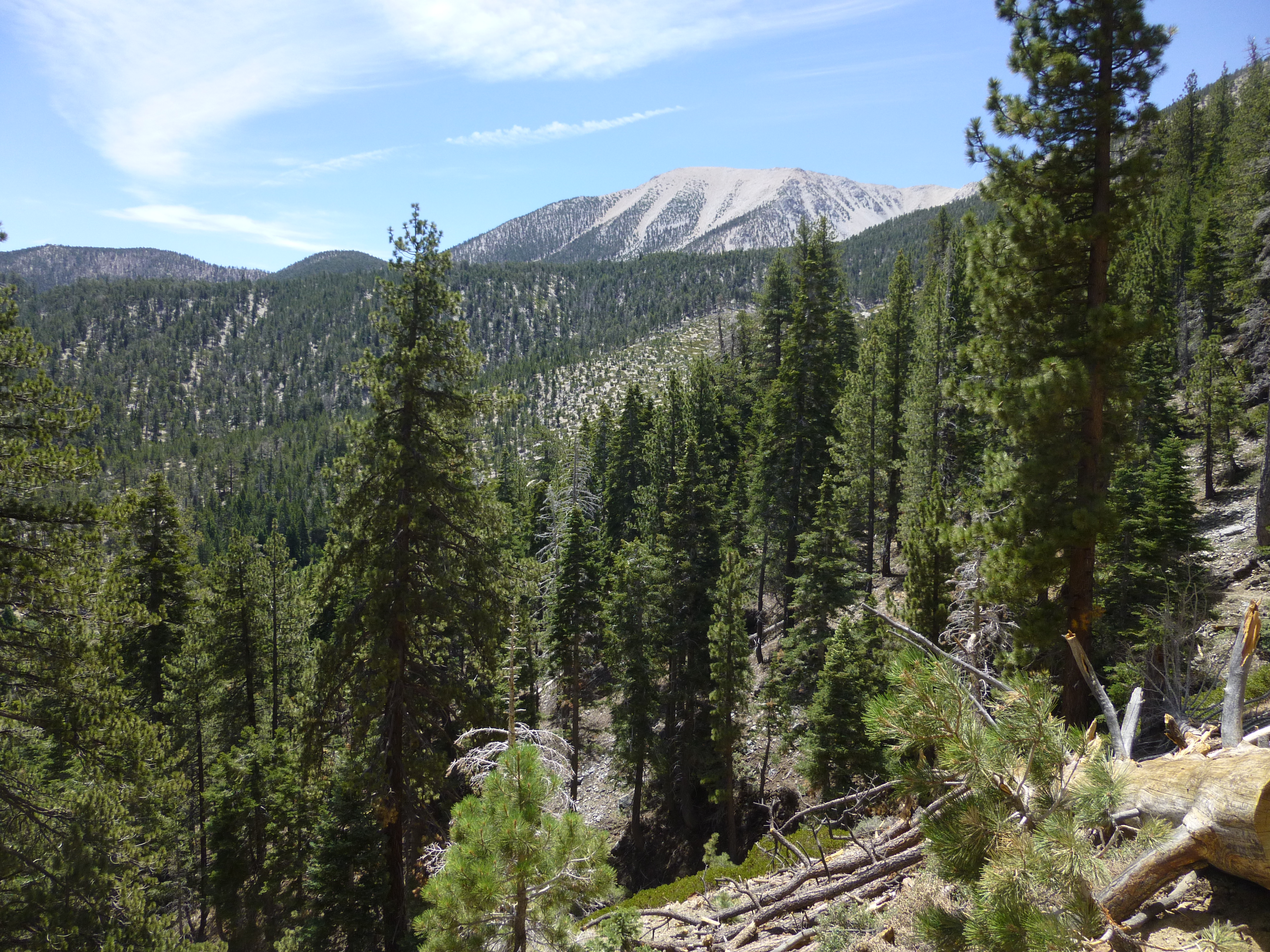
San Gorgonio from Dollar Lake Trail
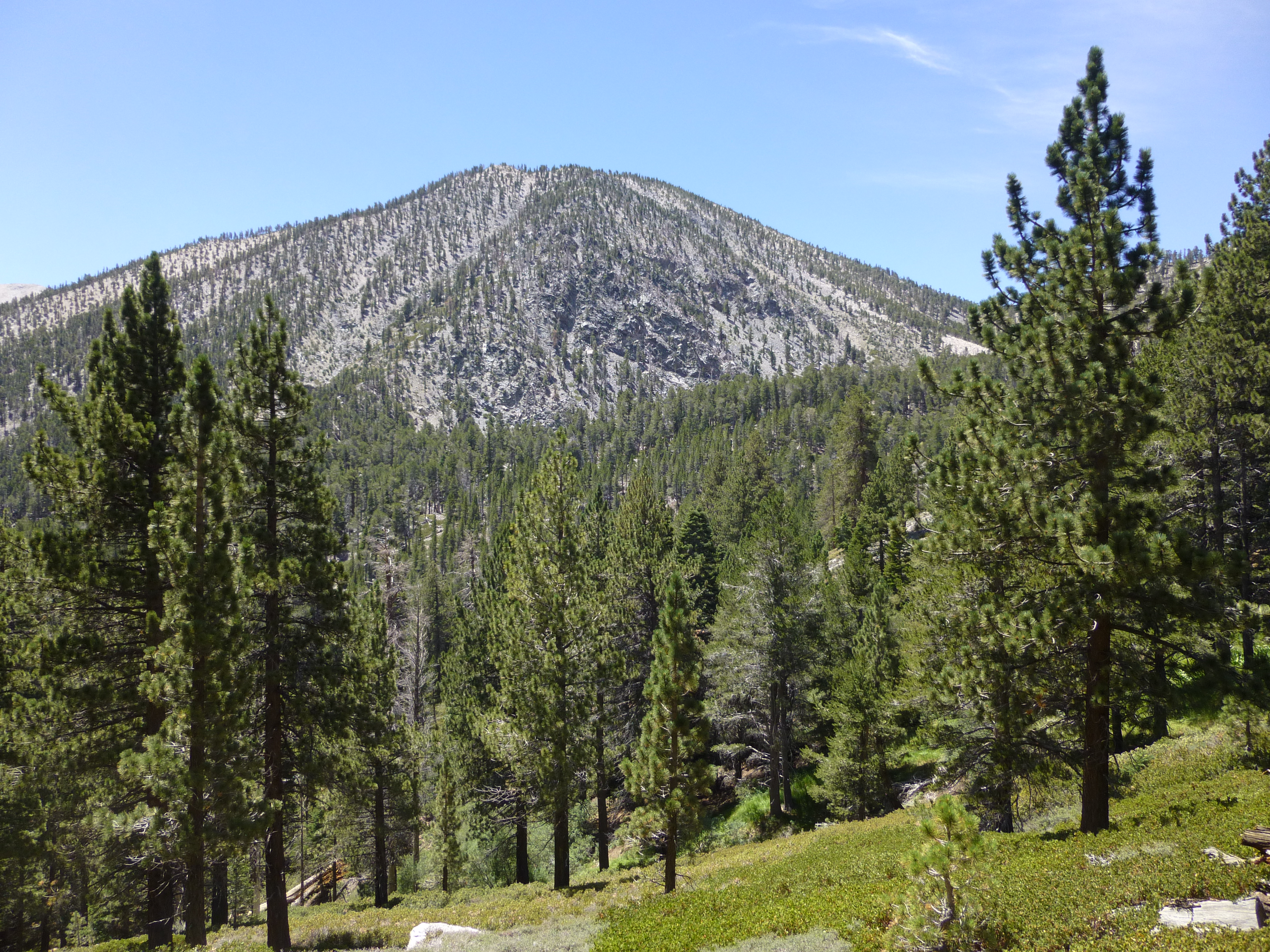
Charlton Peak from Dollar Lake Trail
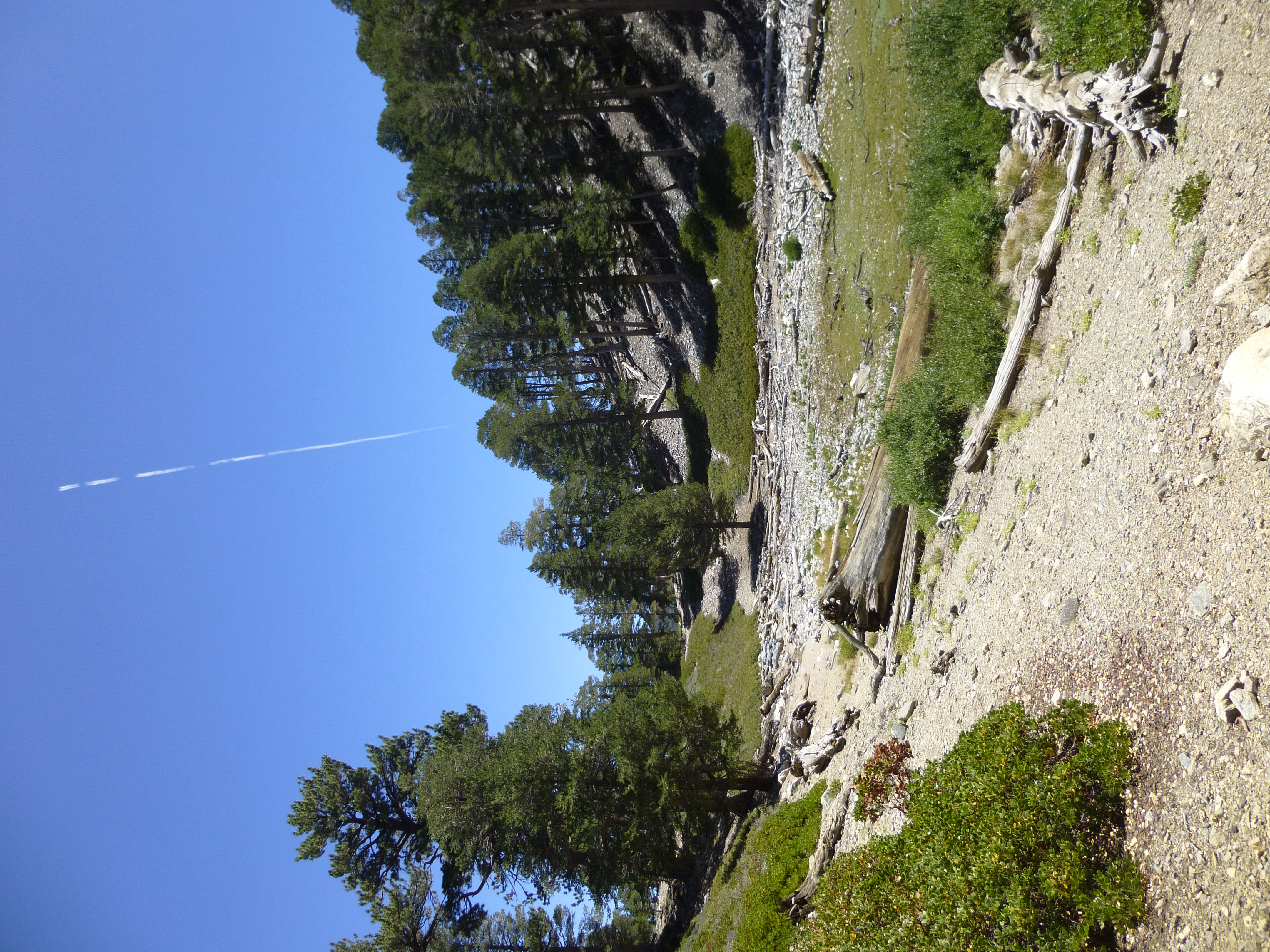
Dollar Lake (dry)
Bagging Alto Diablo Peak
Shields and Anderson peaks, seen from Alto Diablo
San Jacinto Peak, seen from Anderson

Old Baldy above the haze

Jackstraw Springs
Forsee Creek Trail