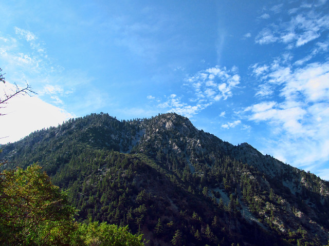
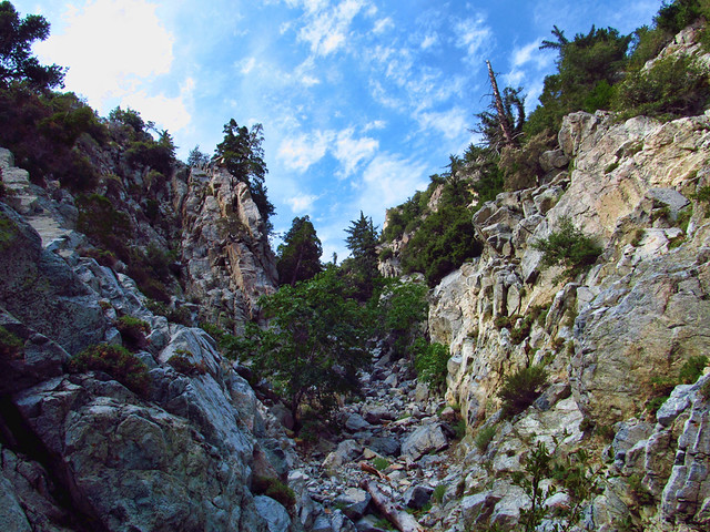
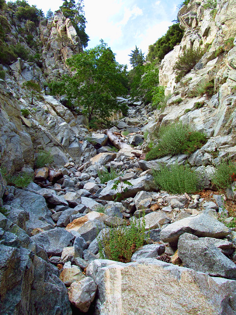
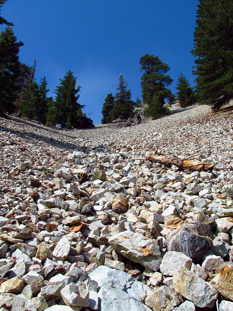
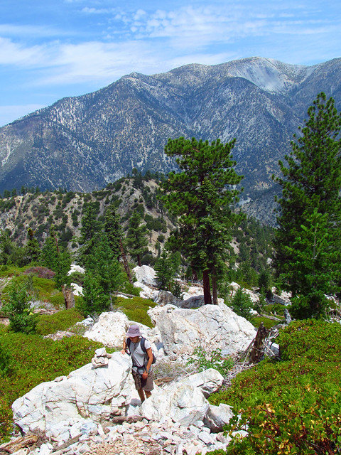
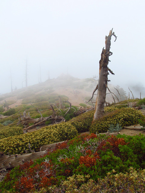
MattCav wrote: awesome pics mcp. this looks fun. the trailhead for this is icehouse, but you turn right early on down that trail, right? how long of a hike up the canyon is it to ontario peak?
Yeah, the entrance to the canyon is probably about 1/2 a mile up the Icehouse Canyon Trail. Keep an eye on the right (south) side of the creek, it's the first canyon that you'll see. Another way to find it is when the Icehouse Trail forks, the left option being the main trail cutting sharply left up to the first real switchback and the right branch goes down to the stream. Take the right path, cross the creek, and follow it upstream. You'll be at the start of Falling Rock Canyon (extremely obvious, impossible to miss from the south side of the creek) in two or three minutes.
The whole trip, including Sugarloaf, was 4.5 miles to the top of Ontario. You'd cut off probably 3/4 of a mile or so if you skip Sugarloaf and go straight up to Ontario. But like Taco said, Sugarloaf really is a pretty cool peak with awesome views, definitely worth the effort.
Basically, Falling Rock Canyon is to the Icehouse Canyon Trail what the Mountaineers Route is to the Mount Whitney Trail.
