
The loop was:
Register Ridge -> Harwood -> Devil's Backbone -> Thunder Mountain
I hit zero snow. There was a single patch of snow on the north side of Harwood, but it will be gone soon. Thunder Mountain was a bonus since I had some energy left and had never been up there. Made a questionable call to descend via Emile's black diamond ski run. Scree skiing was not fun.
http://s1183.photobucket.com/user/tekew ... b.jpg.html
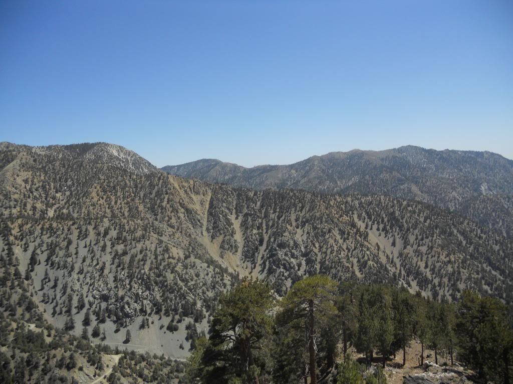
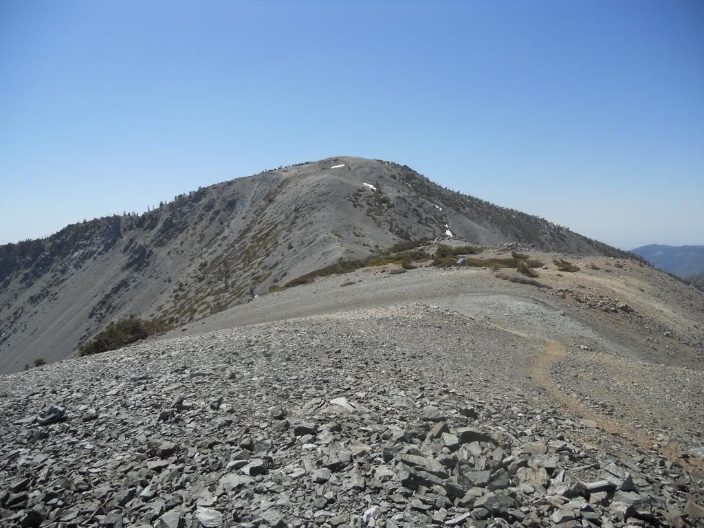
Register Ridge
http://s1183.photobucket.com/user/tekew ... 5.jpg.html
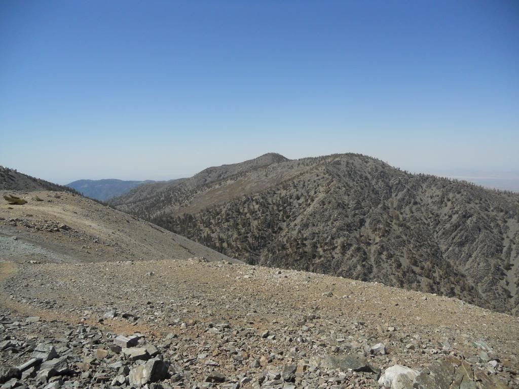
View from Harwood
http://s1183.photobucket.com/user/tekew ... 7.jpg.html
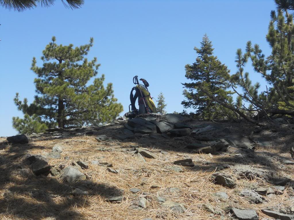
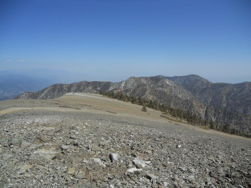
Thunder Mountain ski lift
http://s1183.photobucket.com/user/tekew ... 4.jpg.html
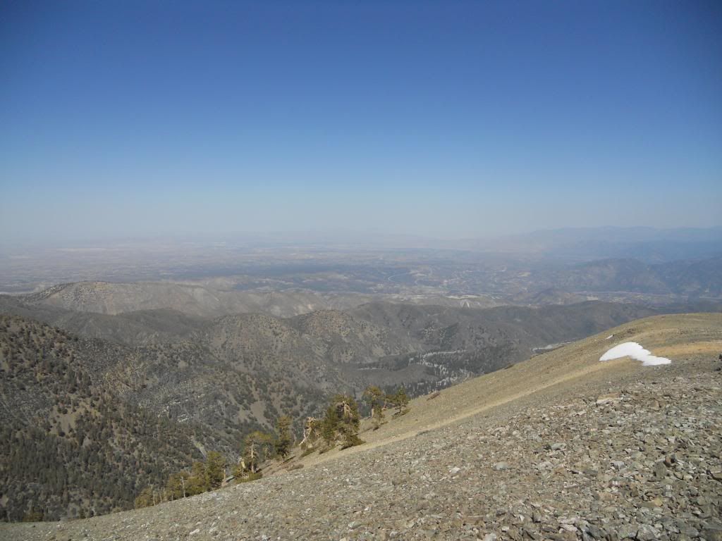
Baldy, Harwood, Dawson from Thunder Mountain
Full report:
http://ironhiker.blogspot.com/2013/04/m ... ister.html
Mt. Harwood and Thunder Mountain 4/26/2013
-
Uncle Rico

- Posts: 1484
- Joined: Thu Mar 20, 2008 7:48 pm
I pretty much followed in your footsteps Saturday teke, but blew off Thunder. Went Register Ridge to Harwood down the Devil's Backbone to the Notch and then down the service road. Was contemplating the chair ride down, but after the Notch tapped me $6.50 for a bottle of beer, I had no choice but to walk down. It was a dry and dusty affair. The only hint of moisture I saw was the snow remnant on the north side of Harwood and the cup of ice water that I drank at the Notch. All in all, a rather good day to be in the mountains. Some pics.
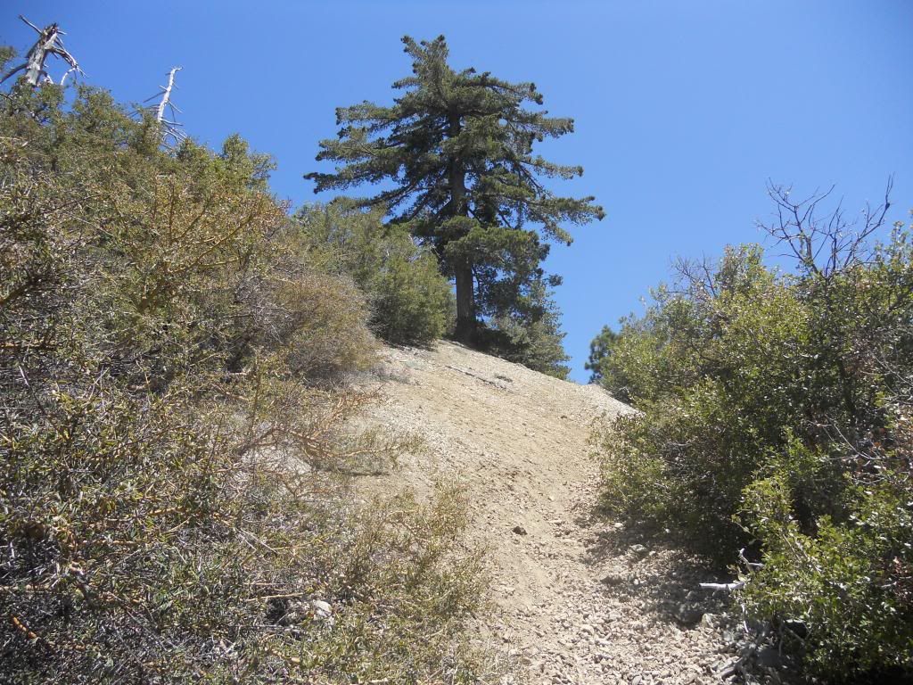
Just after branching off the Ski Hut Trail
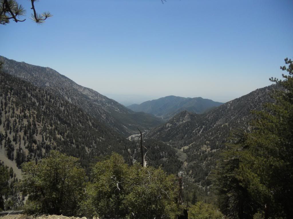
Over the shoulder view down San Antonio Canyon from lower Register Ridge
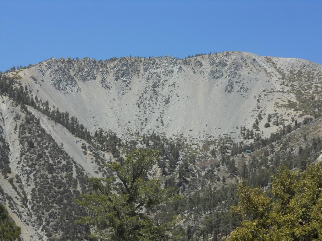
Baldy Bowl and Ski Hut from Register Ridge
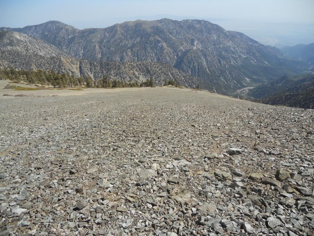
The only flat spot along the entire ridge route
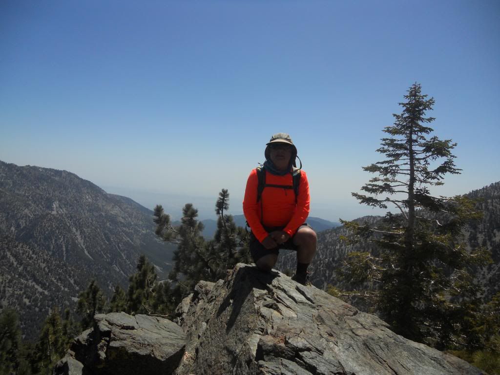
Group photo from mid-route
Taking a breather at the best vantage point on the route
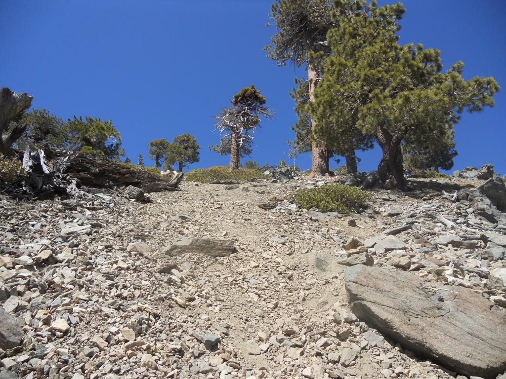
The final stretch just below the trail junction
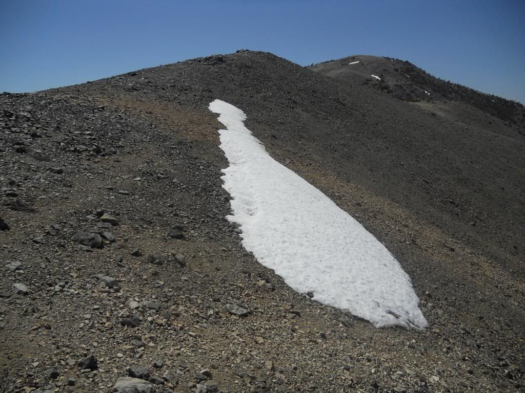
Snow remnant teke mentioned
Baldy from Summit of Harwood
Dawson and Pine I believe
Looking southeast toward the Three Ts. Is that Etiwanda to the left of Cucamonga?
The high desert
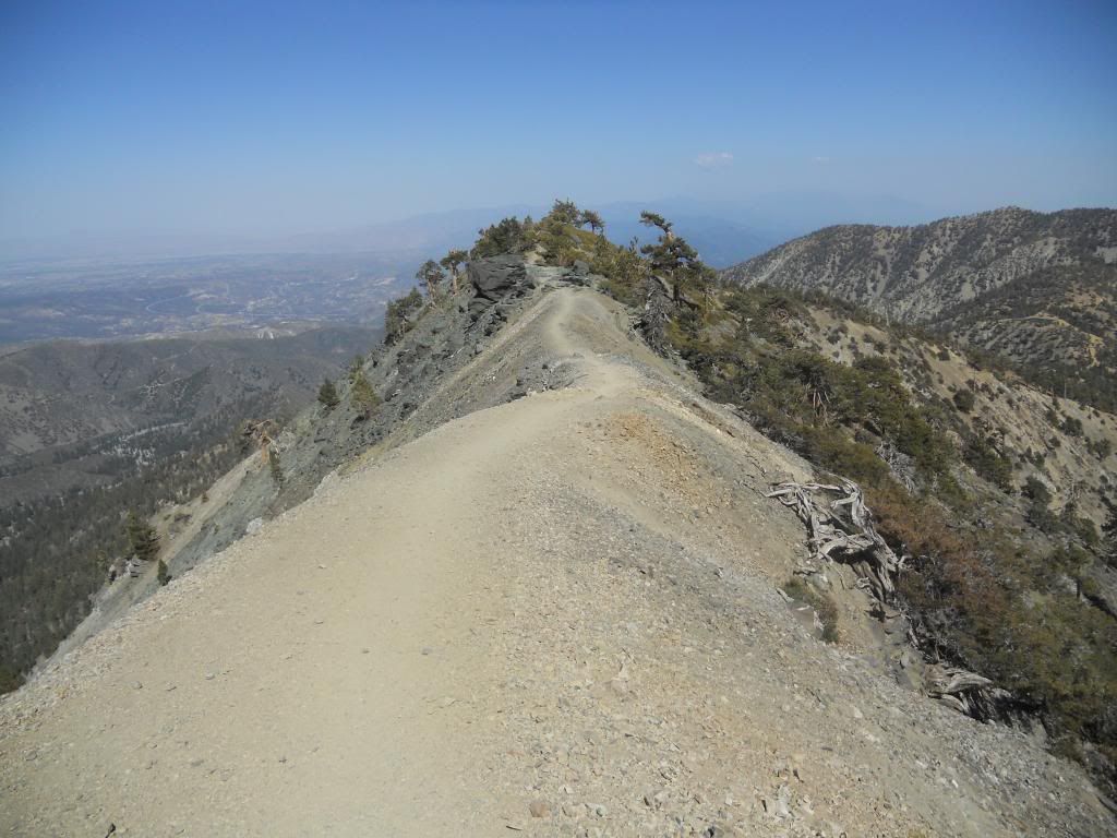
Descending to the Devil's Backbone Trail
The Devil's spine
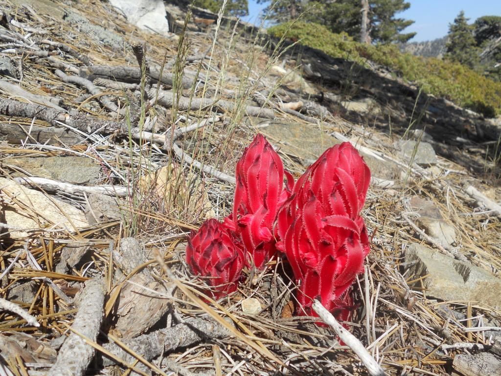
A surprise splash of color in a sea of green and brown
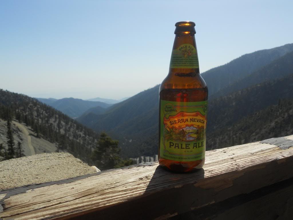
Sierra Nevada in the San Gabes. Who knew?
The end.

Just after branching off the Ski Hut Trail

Over the shoulder view down San Antonio Canyon from lower Register Ridge

Baldy Bowl and Ski Hut from Register Ridge

The only flat spot along the entire ridge route

Group photo from mid-route

Taking a breather at the best vantage point on the route

The final stretch just below the trail junction

Snow remnant teke mentioned

Baldy from Summit of Harwood

Dawson and Pine I believe

Looking southeast toward the Three Ts. Is that Etiwanda to the left of Cucamonga?

The high desert

Descending to the Devil's Backbone Trail

The Devil's spine

A surprise splash of color in a sea of green and brown

Sierra Nevada in the San Gabes. Who knew?
The end.
-
tekewin

- Posts: 1392
- Joined: Thu Apr 11, 2013 5:07 pm
I feel you, Uncle Rico. Deja Vu all over again 
Your pictures look better than mine. Hey, how do post images inline? I'd rather do that than link to Photobucket next time.
Your pictures look better than mine. Hey, how do post images inline? I'd rather do that than link to Photobucket next time.
-
Uncle Rico
- Posts: 1484
- Joined: Thu Mar 20, 2008 7:48 pm
teke- in Photobucket, when you select a specific image to view, there will be an "Image Links" box just to the right. Click the "IMG Code" (by doing so, you will copy the link) and then just paste into the body of your post here. In the past, I've had to sandwich that link between 2 "Img" tags (these appear just above the box you use to type your post), but I didn't have to do that this time. Just directly posted the link. You can test to see if you've done it correctly by previewing your post before you hit "Submit."tekewin wrote: Hey, how do post images inline? I'd rather do that than link to Photobucket next time.
~Rico
-
tekewin
- Posts: 1392
- Joined: Thu Apr 11, 2013 5:07 pm
Thanks, Uncle Rico. Here is my test. Ski runs from Thunder Mountain...

