From the Emigrant Pass sign on Wildrose Road, hike NNW to the top of a hill. The old road is faint at first, but then becomes obvious. You can follow it on Google Earth.
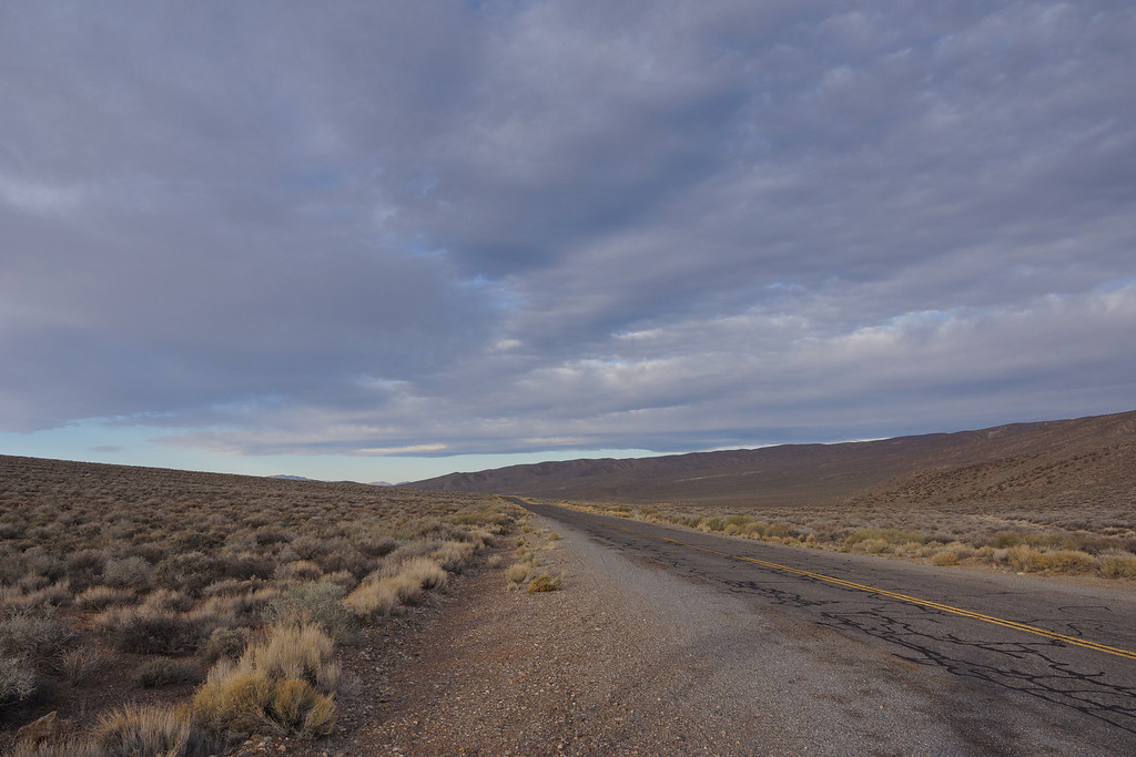
Emigrant Pass at sunrise
![Image](https://eispiraten.com/images-archived/richardk.smugmug.com/Nature/Death-Valley-March-2013/i-trF2rWk/0/XL/DSC01381-XL.jpg)
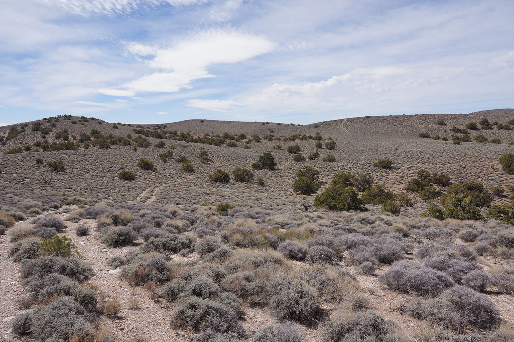
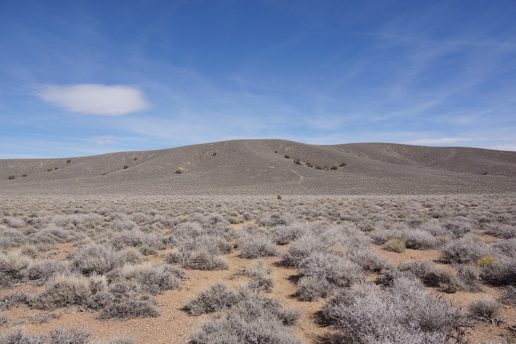
The road bed winds along a rolling ridge
![Image](https://eispiraten.com/images-archived/richardk.smugmug.com/Nature/Death-Valley-March-2013/i-Lbb77KF/0/XL/DSC01427-XL.jpg)
![Image](https://eispiraten.com/images-archived/richardk.smugmug.com/Nature/Death-Valley-March-2013/i-cDvj77c/0/XL/DSC01402-XL.jpg)
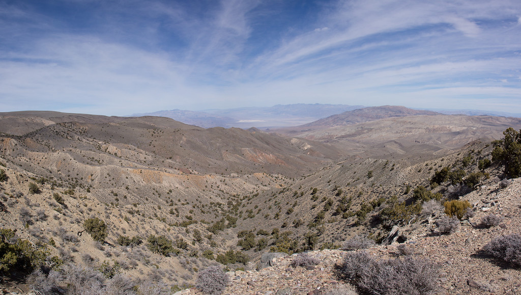
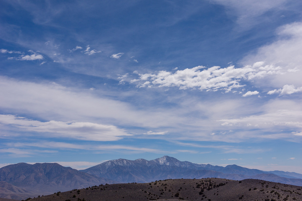
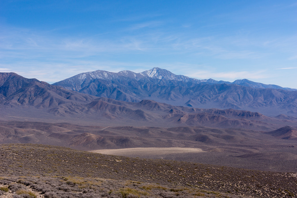
We enjoyed nice views of Telescope Peak all day
![Image](https://eispiraten.com/images-archived/richardk.smugmug.com/Nature/Death-Valley-March-2013/i-r79rb7B/0/XL/DSC01479-1-XL.jpg)
![Image](https://eispiraten.com/images-archived/richardk.smugmug.com/Nature/Death-Valley-March-2013/i-RsnzWb5/0/XL/DSC01499-2-XL.jpg)
The road drops into a valley where is gets faint again. However, you can see it on the hillside ahead.
![Image](https://eispiraten.com/images-archived/richardk.smugmug.com/Nature/Death-Valley-March-2013/i-JJZNnjn/0/XL/DSC01497-XL.jpg)
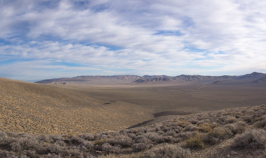
You can see the dirt road leading to Harrisburg Flats and Aguereberry Point right of center
![Image](https://eispiraten.com/images-archived/richardk.smugmug.com/Nature/Death-Valley-March-2013/i-kQC3BBv/0/XL/Pano1397_1401-XL.jpg)
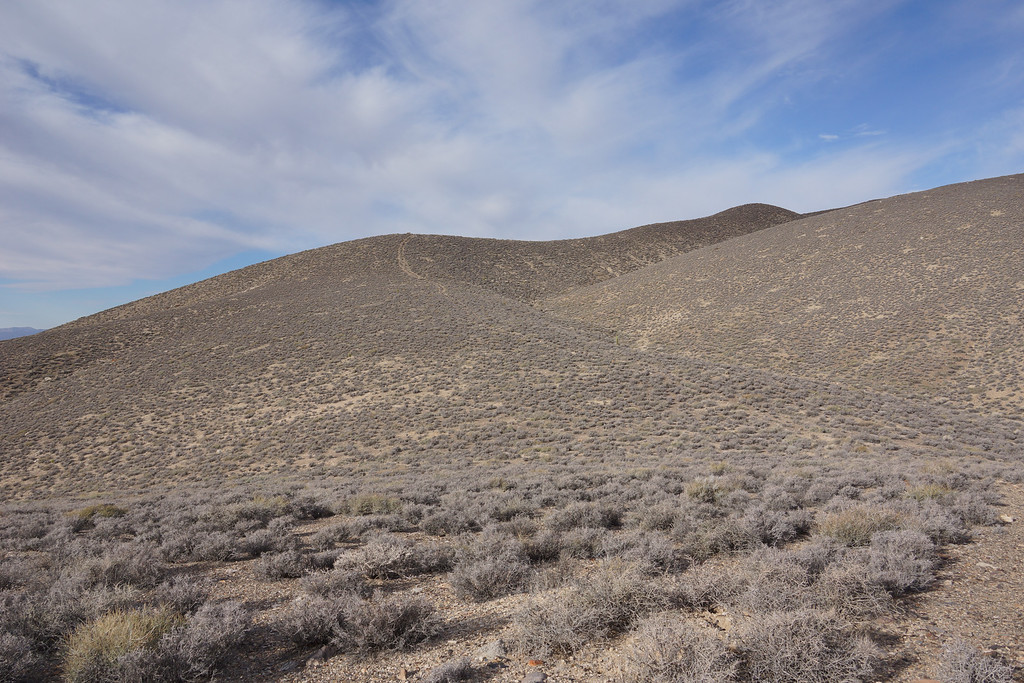
Point 7073 offered a nice view to the north
![Image](https://eispiraten.com/images-archived/richardk.smugmug.com/Nature/Death-Valley-March-2013/i-nnstD5D/0/XL/Pano1422_1426-XL.jpg)