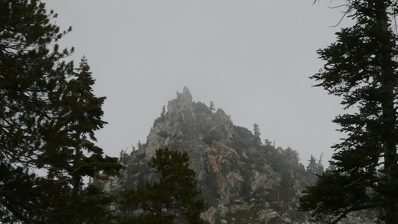
Cornell Pk in the mists:
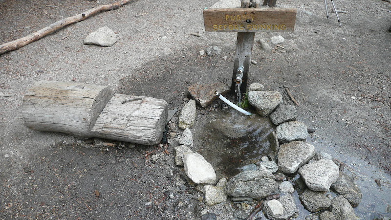
The water was flowing fine in Round Valley at the pipe by the trail junction.
The tram doesn't start running until 10:00 AM
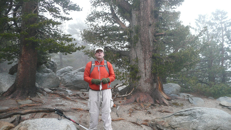
"Gorgeous" weather at Wellman Divide:
I noticed a couple of things on the hike:
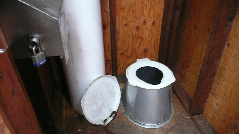
1. There are some nice new johns in the Round Valley area (right where the trail first gets into the area).
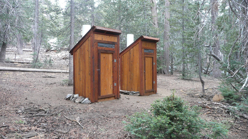
These are a great improvement I think over the plastic port-a-potties that I've seen in Tamarack Valley which are an eyesore.
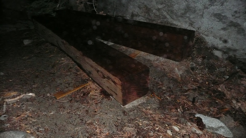
2. They've put in bridges on the little creeks that come in from the north as you leave Long Valley en route to Round Valley. It also looks like they're going to bridge the main fork of Long Valley Creek as well judging by these big 12 x 12 (14 x 14?) posts hidden behind some rocks near the trail:
As for our route itself, most of it is on trail, but the route down from the main trail to Tamarack Valley and then back to the main trail is worth discussing. If you look at the topo map link I posted above, you can see the old trail joins the main trail at point "G". You can more or less find this junction if you really know where to look, but I find it's a lot easier to go to point "H" to pick up the route. At point "H," the trail crosses a fairly distinctive flat spot, and there's a bit of a creek bed that crosses the trail. Leave the main trail here and proceed downhill keeping the creek bed on your left. You can see where others have passed, but there's no clear path. The trick is to hit point "J". Point "J" is where you leave the comparatively easy terrain of mixed conifer forest and enter Chinquapin Hell, home of demonic cougars (well, you'll look like you were attacked by demonic cougars if you miss the trail anyway). You've got to keep the aforementioned drainage on your left and look for a path entering the Chinquapin. If you toggle the above linked topo map to satellite view, you can see the trail through the chinquapin. It's worth taking your time here and really find that trail or you'll pay pay pay for it bushwhacking through the chinquapin. Even if you do find the trail, you'll be brushing up against a lot of chinquapin, but brushing up against is a LOT better than beating your way through solid walls of brush. One note: On a rainy day like yesterday, you're going to get really wet. The old trail just doesn't get enough use to keep it fully open.
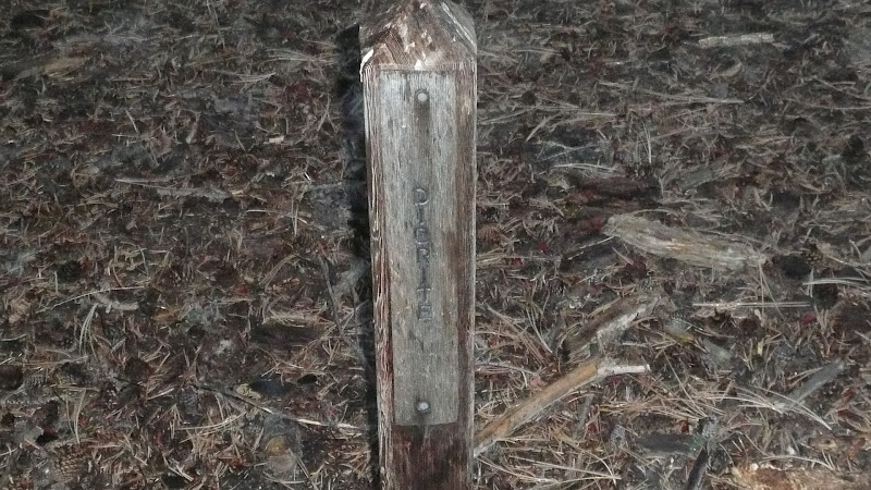
Follow the old trail down to the last switch back. You'll know it's the last switchback because you can see a flatish spot off to your left (east) which is the meadow above Tamarack Valley. The portion of the meadow closest to the trail isn't very meadow like, but as you proceed east, it's very nice. Look for a use trail heading left (east) into the meadow as you approach a set of trees. Continue east through the meadow above Tamarack Valley towards point "L." At point "L," you need to turn fairly hard to the SSE and head towards the campsites in the main Tamarack Valley area. The Diorite camp site is the first one you will encounter.
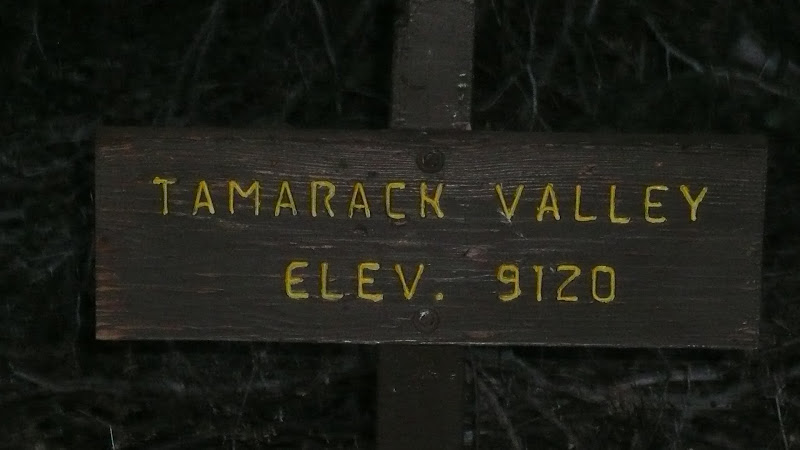
You can just follow the maintained path from Diorite down to the main junction that leads to all the camp sites in Tamarack Valley. Sign at the main junction in Tamarack Valley:
or if your sense of direction is good, you can head ESE from the vicinity of Diorite camp site toward the easternmost of the camp sites in Tamarack Valley which is in the vicinity of point "N" on the above linked topo map. Continue past the easternmost camp site crossing to the left (north) side of a small drainage. Stay on the left (north) side of the drainage and pick up a use trail. The use trail will repeatedly "braid" (divide and then rejoin), but as long as you keep the drainage to your right, you'll be on route. The terrain will steepen considerably as you go east. You'll rejoin the main trail in the vicinity of point "C".
For a person heading to San Jacinto Peak from the tram, I estimate you can cut off half a mile or more each way by using this route. This route is even nicer if you head to Miller Saddle and go straight up the east ridge to San J Pk instead of taking the trail that goes by the old CCC hut.
A bit wet and cold (38F when we go back to Long Valley), but overall a very nice day in the San Jacintos.
HJ