Heaton Flat - Iron Mountain

TRs for the San Gabriel Mountains.
Post Reply
User avatar
Elwood
Posts: 613
Joined: Fri Aug 15, 2008 5:23 pm

Post by Elwood »

Saturday morning I drove up San Gabriel Canyon, across the East Fork Road and parked at Heaton Flat. I was on the hoof by 0630. It took around 5:30 to summit. I'll add some more verbiage to this report later.


Image
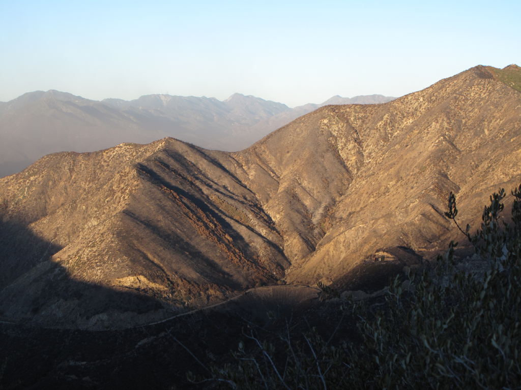
Morning sun lights up burned area above Shoemaker / "Road to Nowhere".
Image
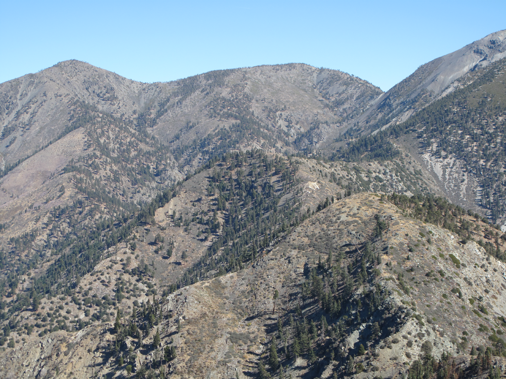
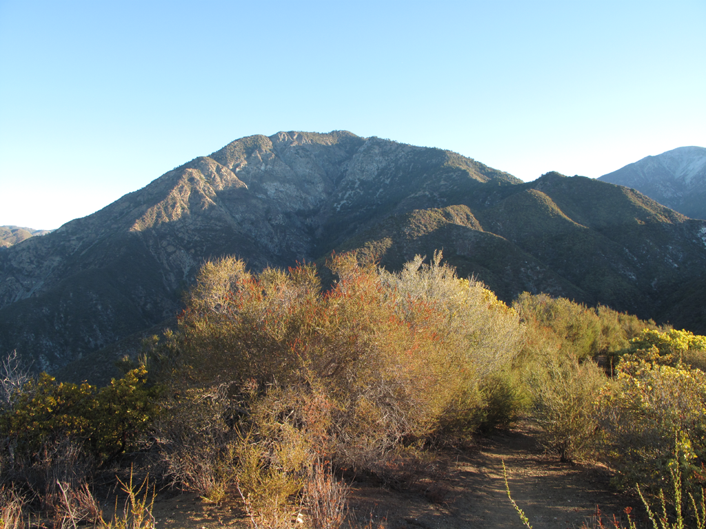
Today's destination looms in the distance.
Image
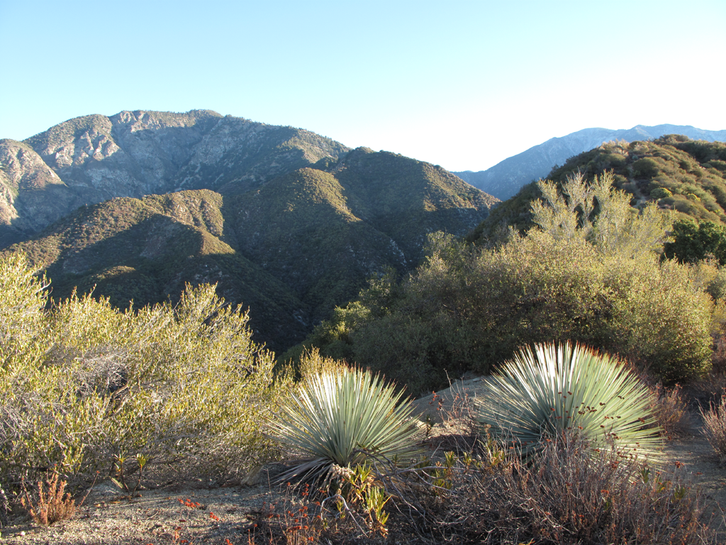
Little piece of the Heaton Flat trail, with pleasant foliage.
Image
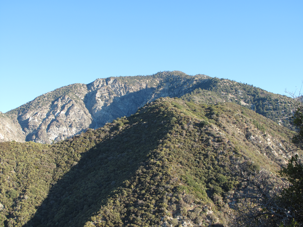
Getting closer...barely.

Image
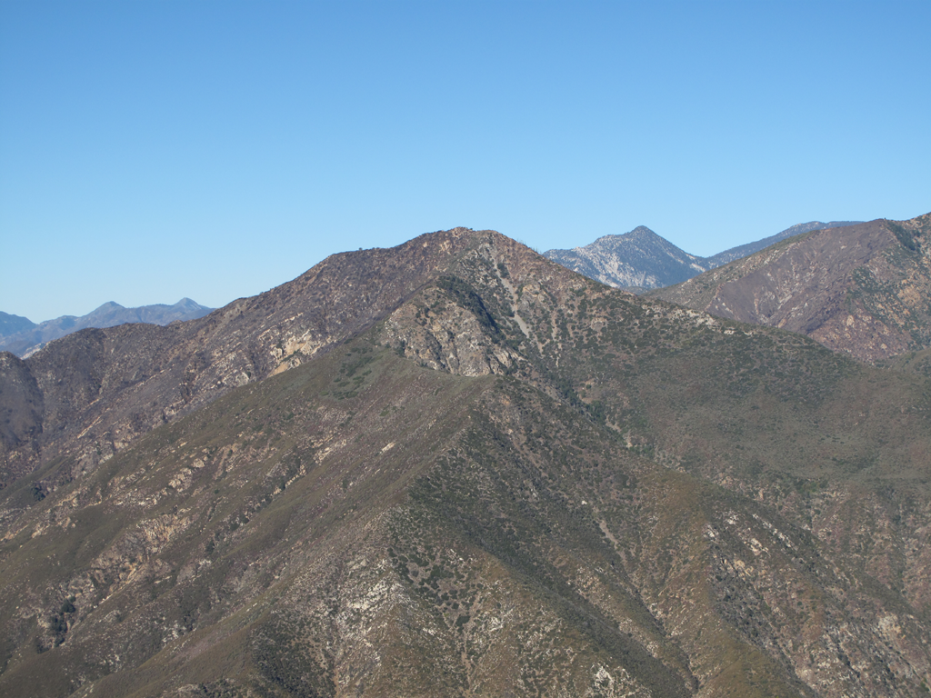
Rattlesnake Peak, Twin Peaks and the Hawkins Ridge.
Image
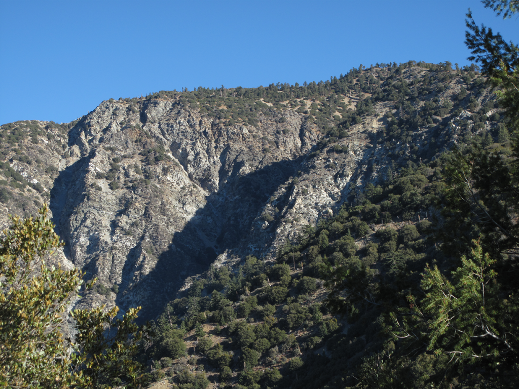
Top of Allison Gulch, Southwest section of Iron's roof.
Image
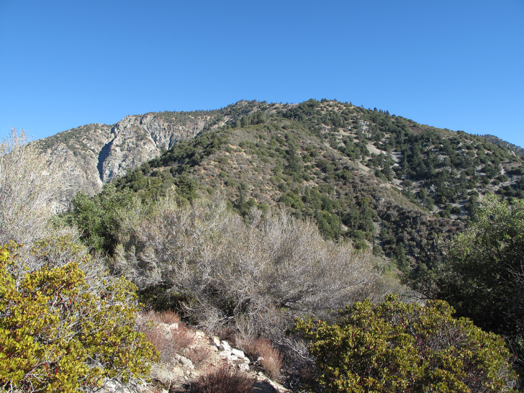
Representative section of what the rest of the trail is like.
Image
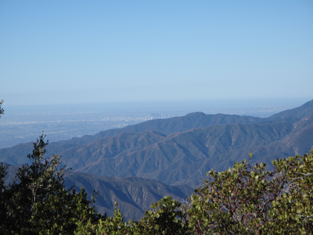
It was a very clear day; downtown L.A. over Glendora.
Image
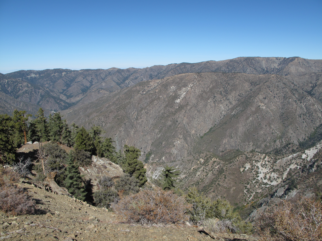
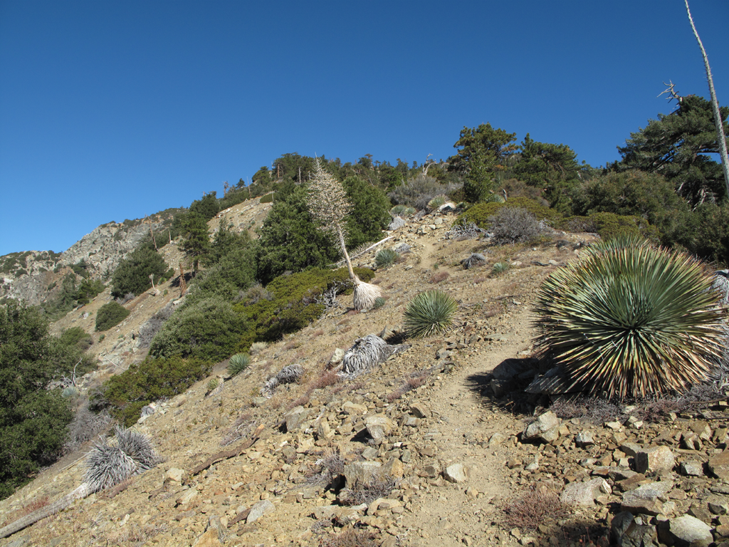
Fairly typical Iron terrain on a less steep section.
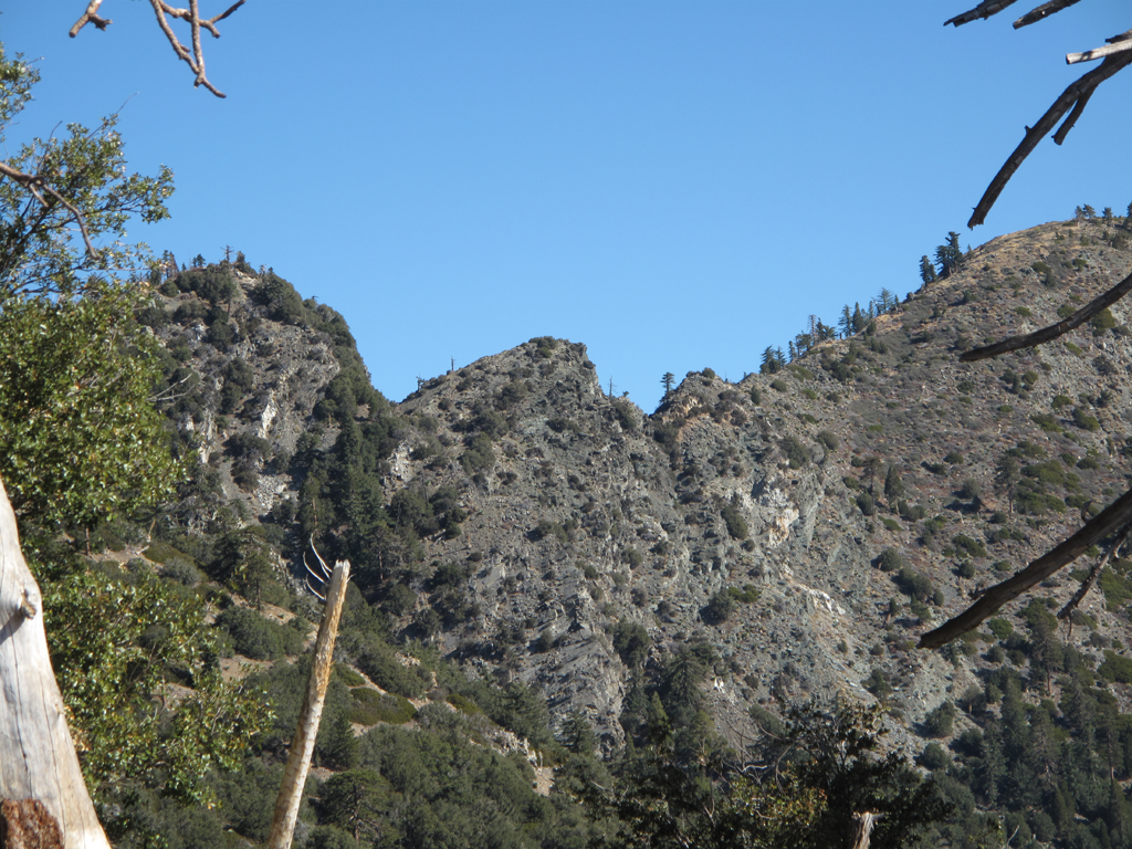
Image
Gunsight notch of the San Antonio Ridge, seen from the Iron Mountain trail.
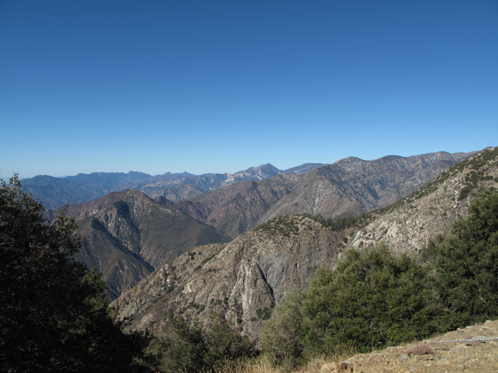
Image
Rattlesnake Peak, Hawkins Ridge, Twin Peaks, Mt. Wilson in the left background.
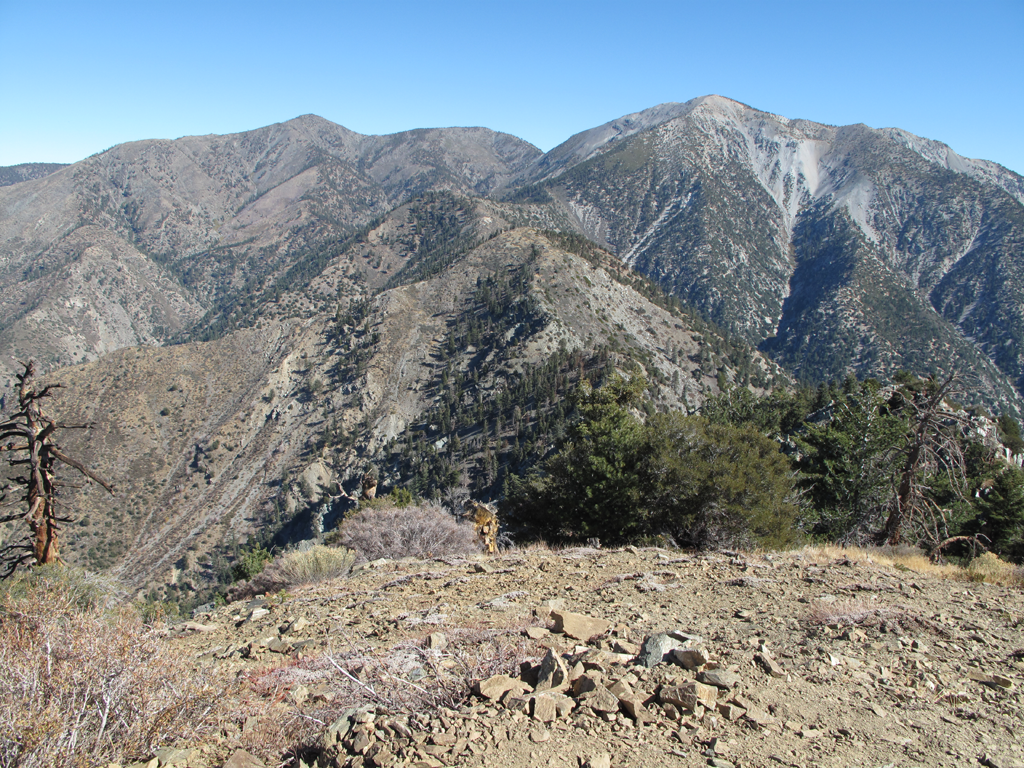
Image
San Antonio Ridge, seen from Iron's summit.
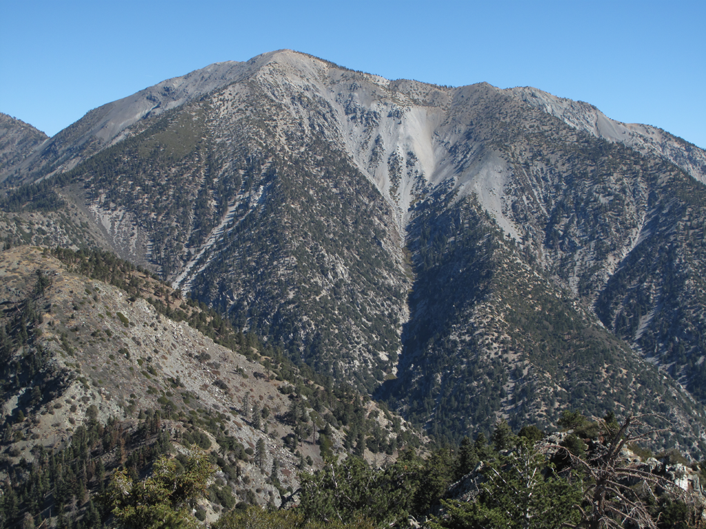
Image
Mount San Antonio, from Iron.

Image
Pine Mountain, Dawson Peak and part of the S.A. Ridge.
Image
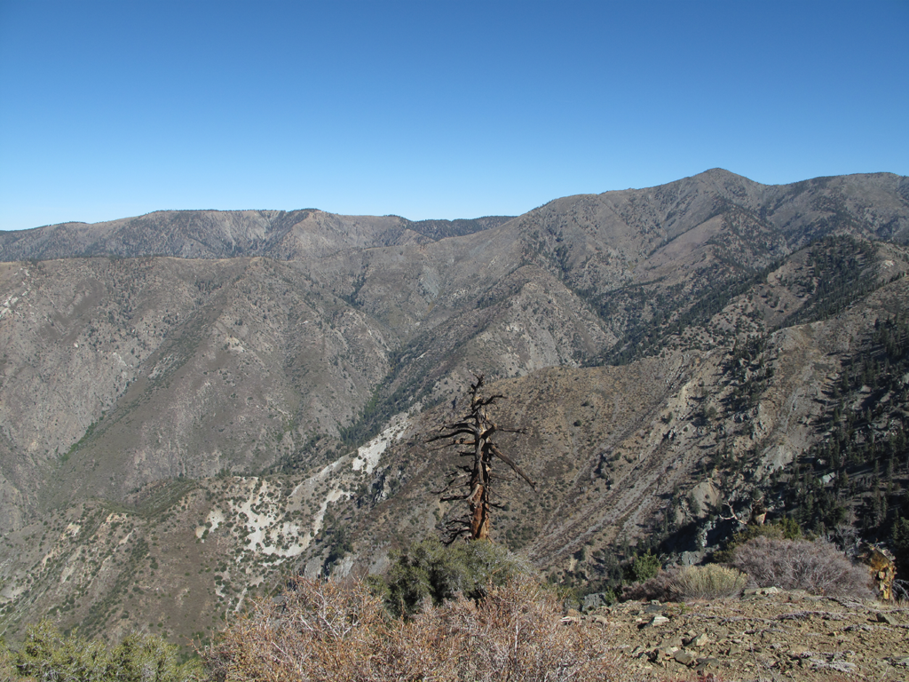
Pine Mountain Ridge and Blue Ridge.

Image
Western sections of Pine and Blue Ridges.
Image
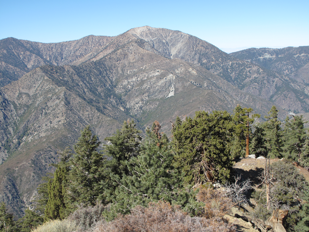
Mount Baden-Powell and Ross Mountain. Iron's North ridge in the foreground.
Image
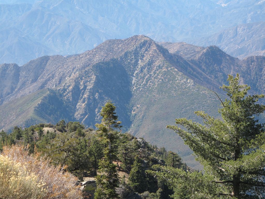
Rattlesnake Peak and the ridge off to Hawkins' on the right.
Image
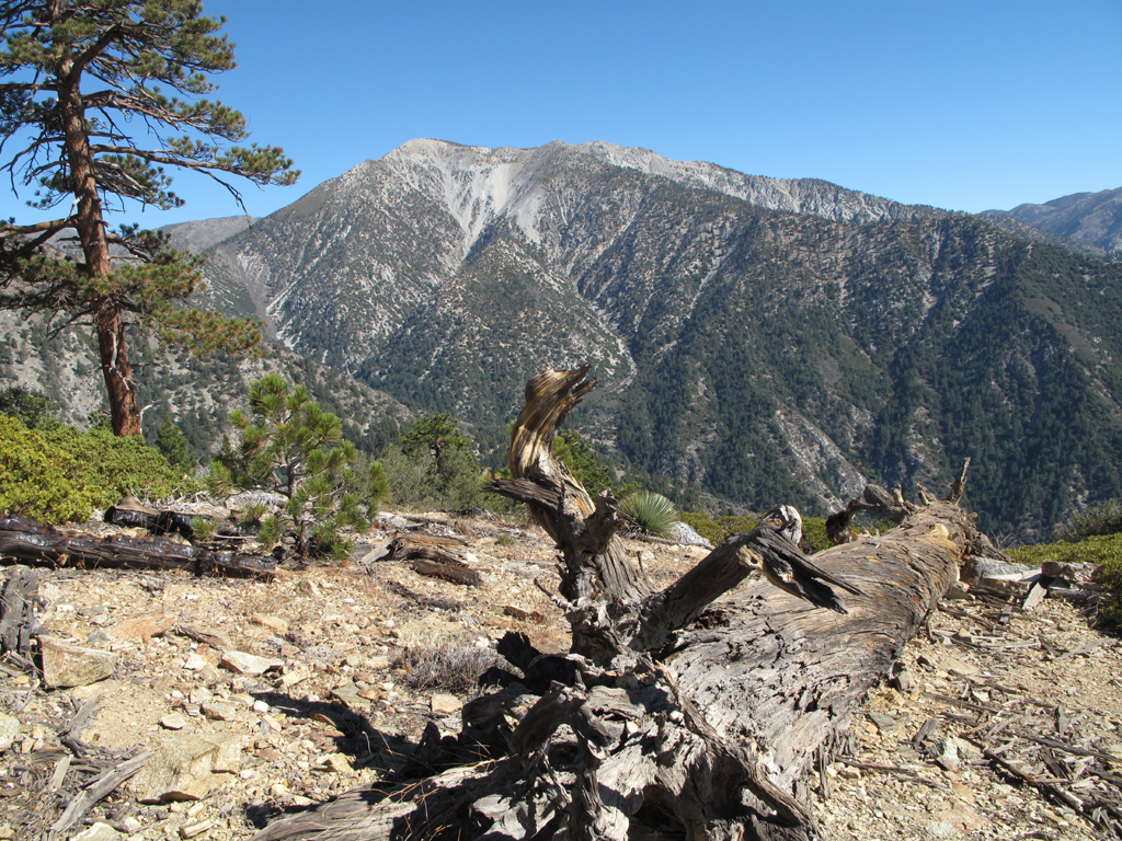
Mount San Antonio, with some Iron trail features in the foreground.
Image
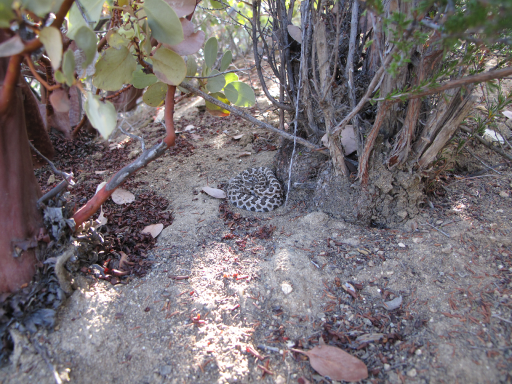
A tiny Crotalus Oreganus Helleri trailside.
Image
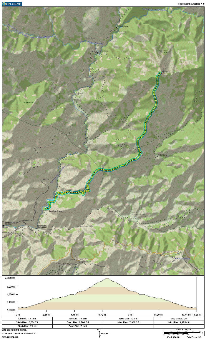
GPS track and elevation plot.
User avatar
lilbitmo
Posts: 1092
Joined: Tue Mar 04, 2008 9:44 pm

Post by lilbitmo »

Elwood wrote: Saturday morning I drove up San Gabriel Canyon, across the East Fork Road and parked at Heaton Flat. I was on the hoof by 0630. It took around 5:30 to summit. I'll add some more verbiage to this report later.


Image
Morning sun lights up burned area above Shoemaker / "Road to Nowhere".

Image
Rattlesnake Peak, Twin Peaks and the Hawkins Ridge.
Pictures never tell the whole story, how bad does it look on the "East Face" of Rattlesnake? and were you able to see how much damage there is leading up the ridge from Rattlesnake to So. Hawkins, the last incident report map made it sound like the fire made it to about 700 feet below the So. Hawkins before they were able to contain it?

Wondering how long before they open that area up again?

Great TR as always, great pictures, how was the heat on the way down?

Lilbitmo/Patrick :D
User avatar
Elwood
Posts: 613
Joined: Fri Aug 15, 2008 5:23 pm

Post by Elwood »

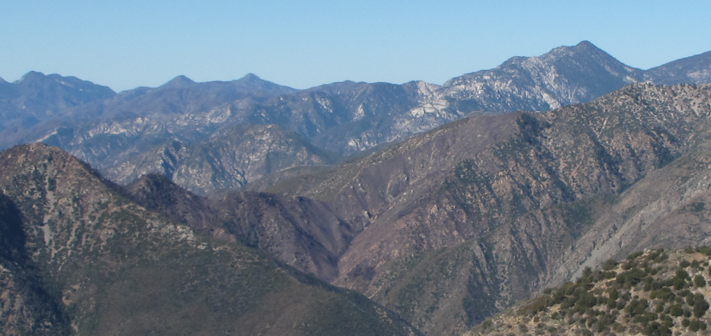
Thanks for the nice comments lilbitmo! I was trying really hard to assess the condition of the trail to Rattlesnake, and beyond to Hawkins'. I wouldn't want have to rely on my observation too rigorously. Most of what I saw looked singed. Much of the adjacent flora was still late, dry, autumn green. The stuff in the path of Williams was decidedly brown or black.

Here's an enlargement of what appears to be the limit of the damage to Hawkins Ridge.

Image

And yes, it was hot. The four liters that I carried was just barely enough. Glad I've taken to leaving a couple of liters on ice in the car.
User avatar
lilbitmo
Posts: 1092
Joined: Tue Mar 04, 2008 9:44 pm

Post by lilbitmo »

Elwood wrote: Thanks for the nice comments lilbitmo! I was trying really hard to assess the condition of the trail to Rattlesnake, and beyond to Hawkins'.
If you are assessing for the reason I think you are send me a message through the backside, let's plan something for Dec?
User avatar
Taco
Snownado survivor
Posts: 6036
Joined: Thu Sep 27, 2007 4:35 pm

Post by Taco »

I see the fire made some canyons slightly more accessible! :lol:
Post Reply