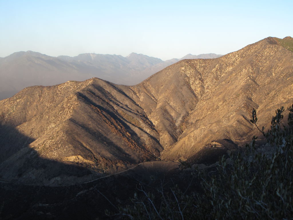
Morning sun lights up burned area above Shoemaker / "Road to Nowhere".
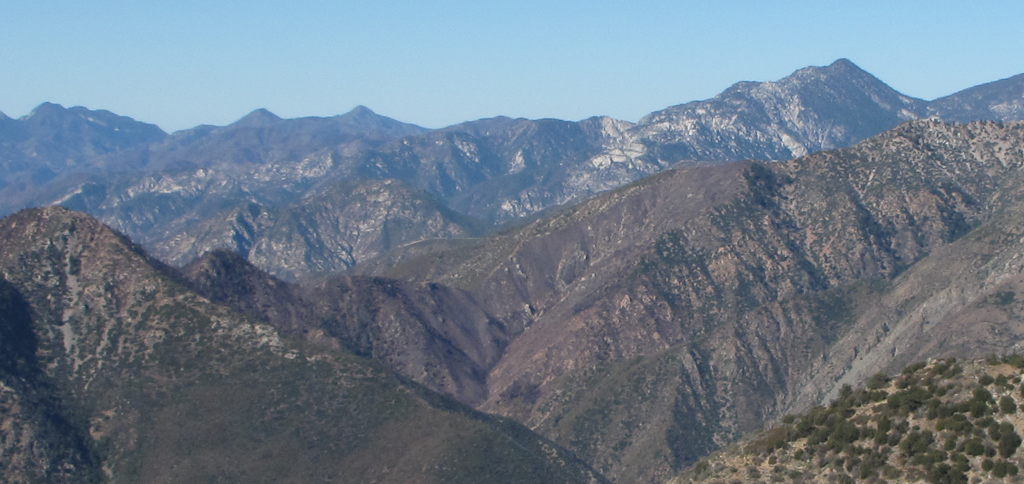
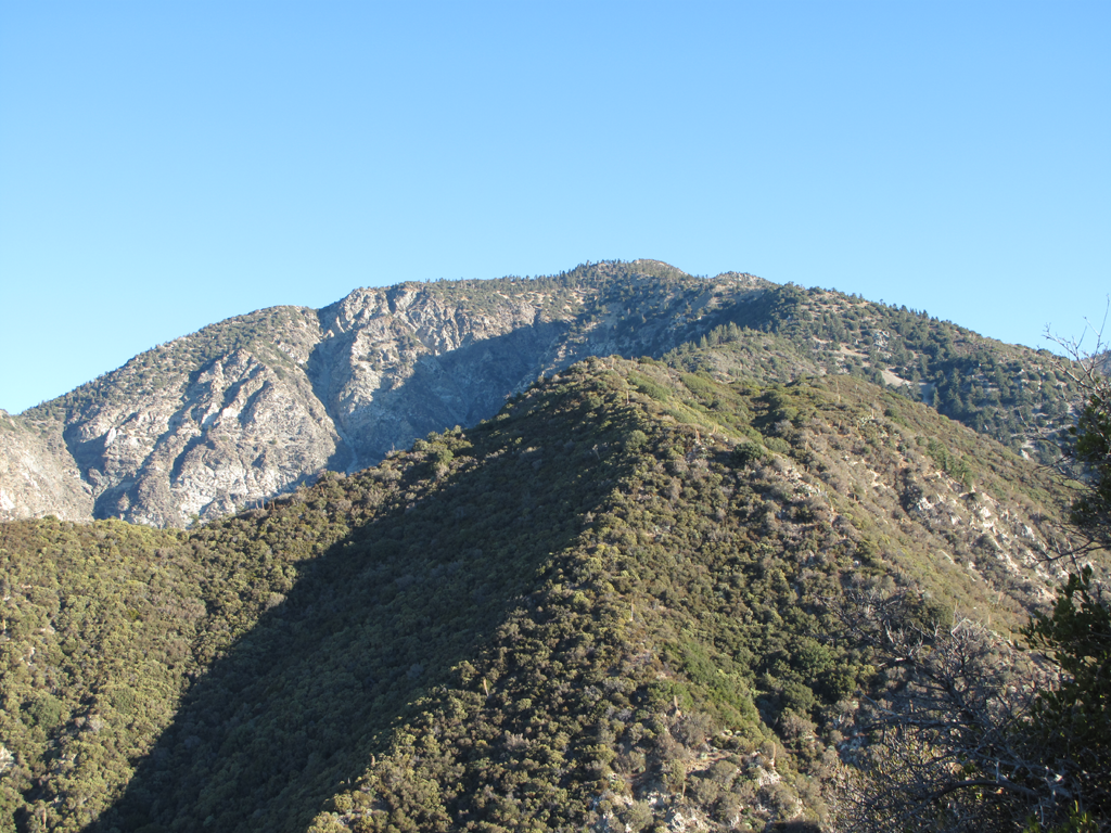
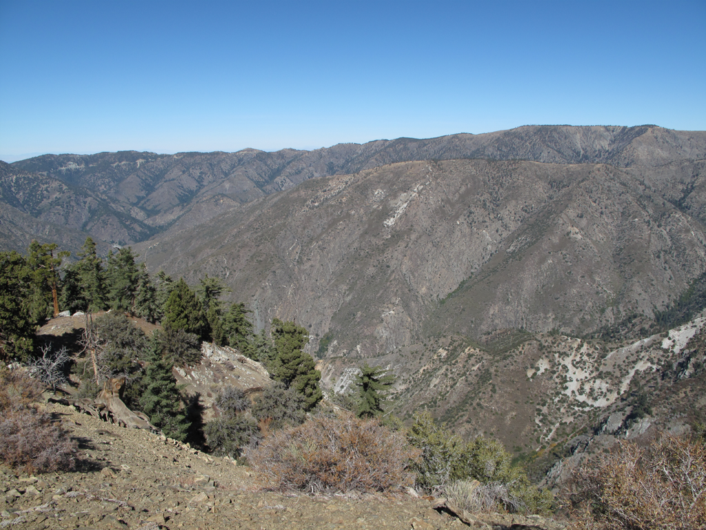
Today's destination looms in the distance.
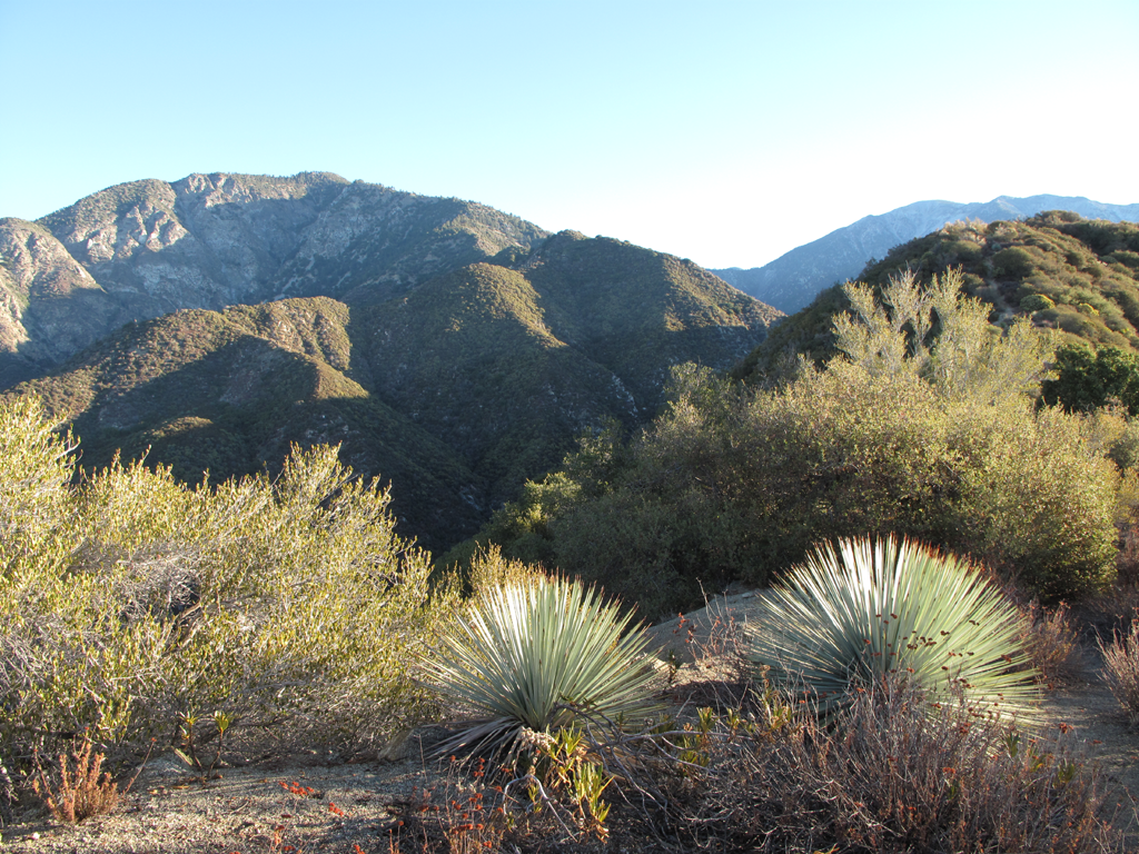
Little piece of the Heaton Flat trail, with pleasant foliage.
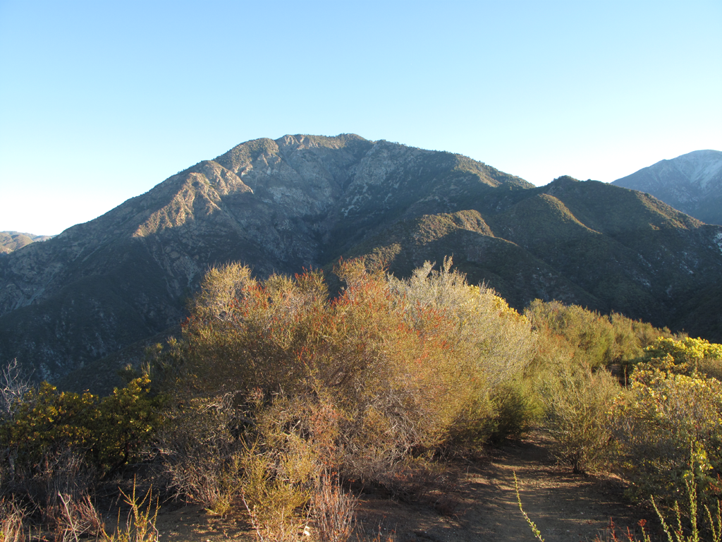
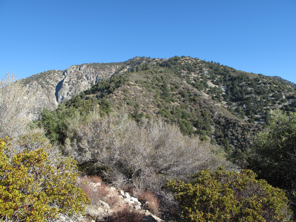
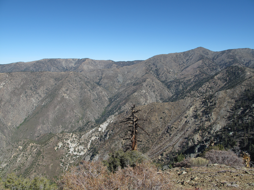
Getting closer...barely.
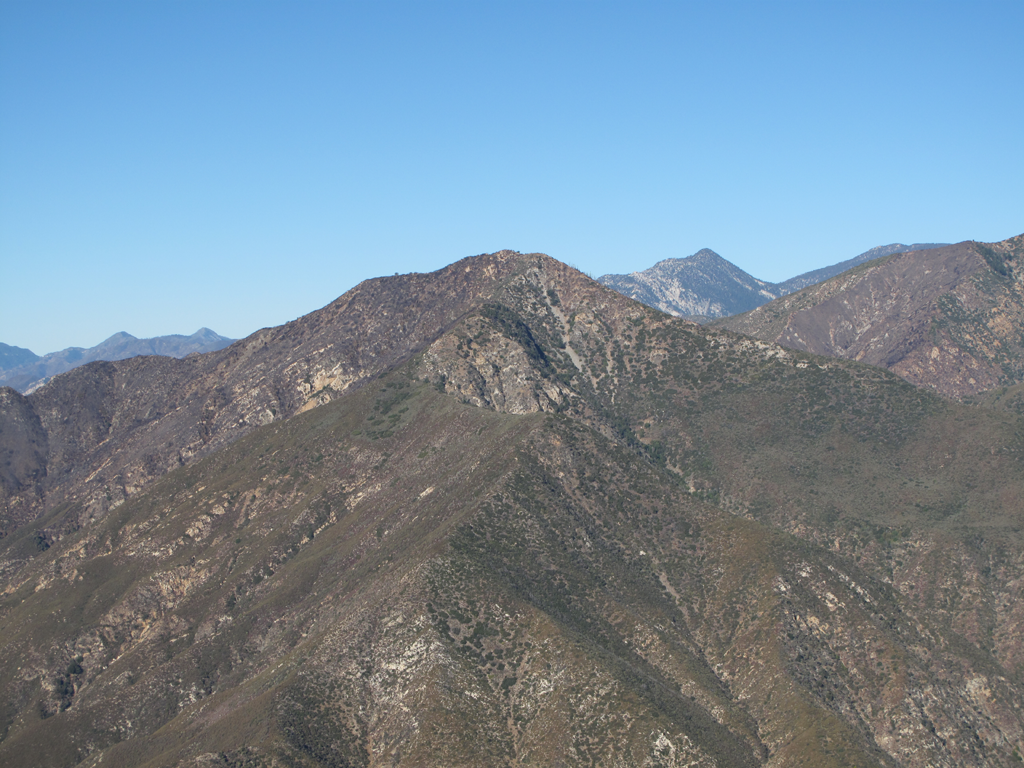
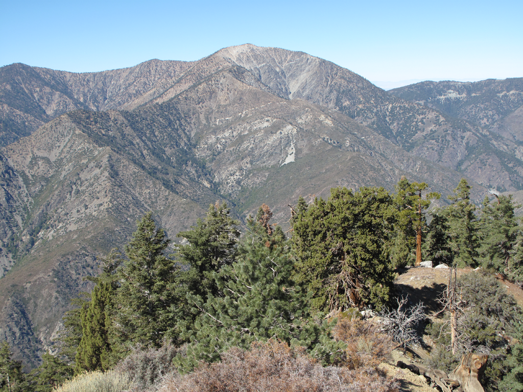
Rattlesnake Peak, Twin Peaks and the Hawkins Ridge.
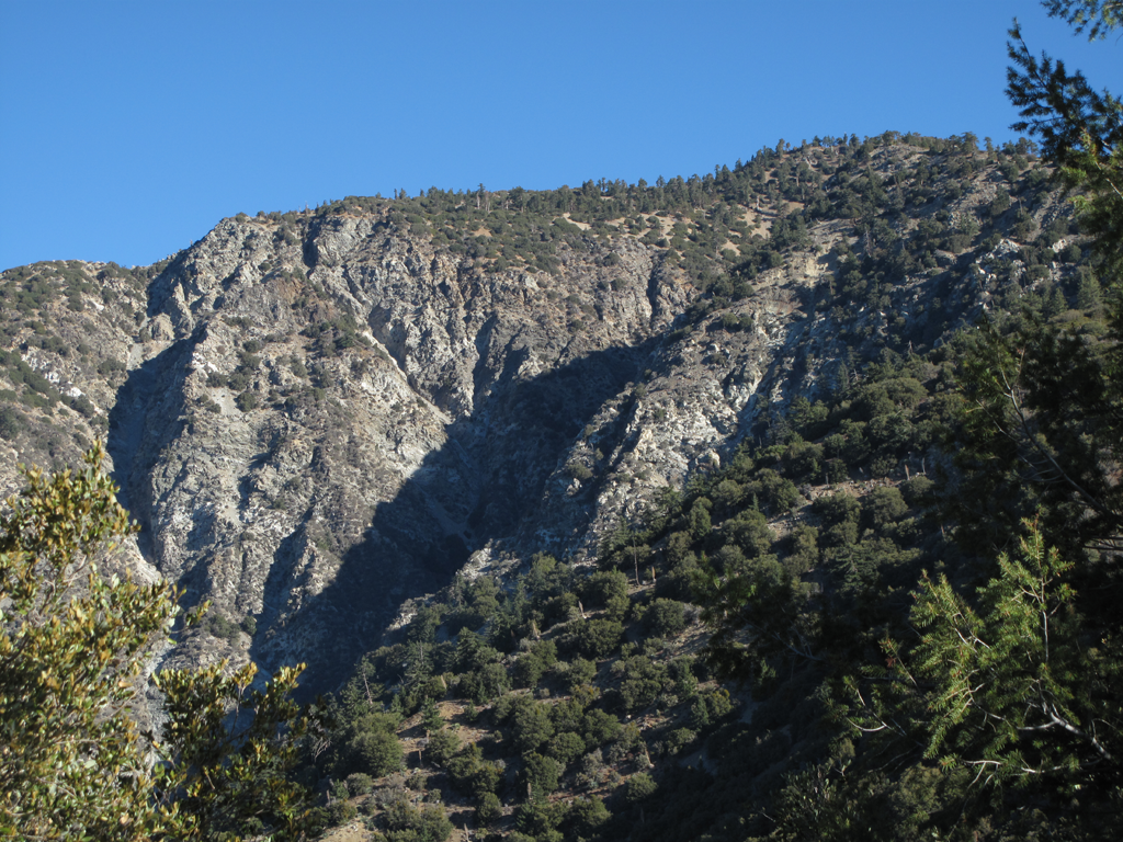
Top of Allison Gulch, Southwest section of Iron's roof.
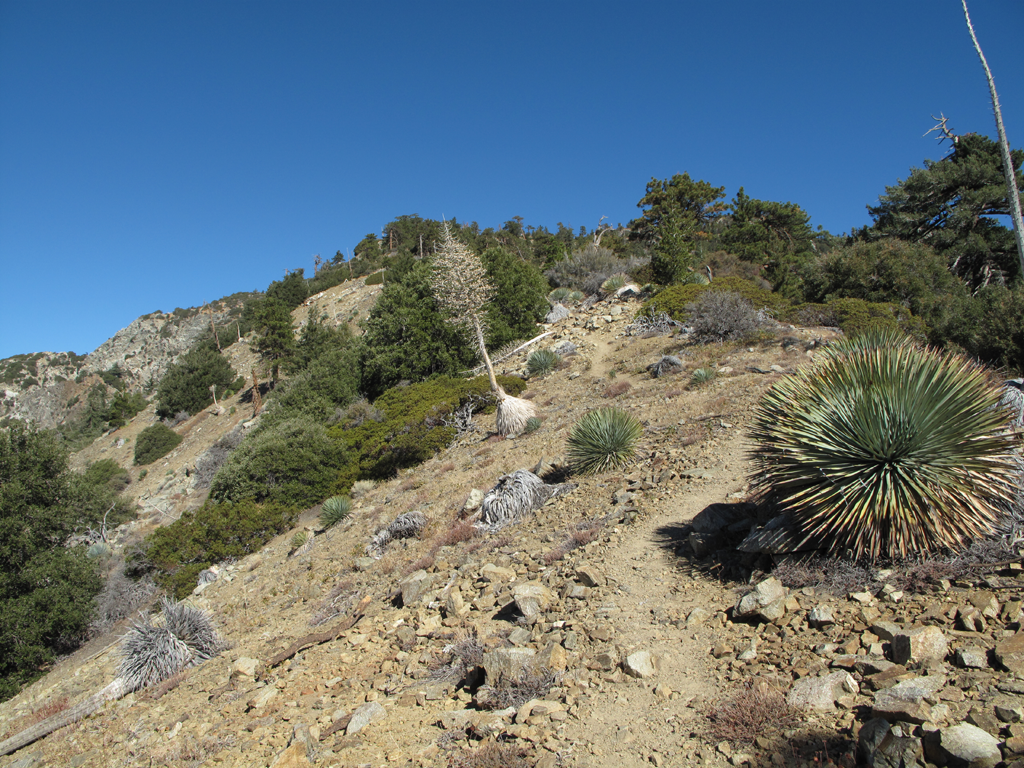
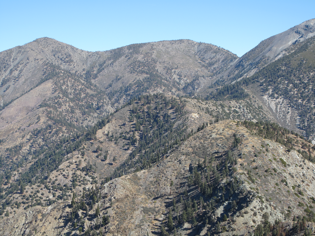
Representative section of what the rest of the trail is like.
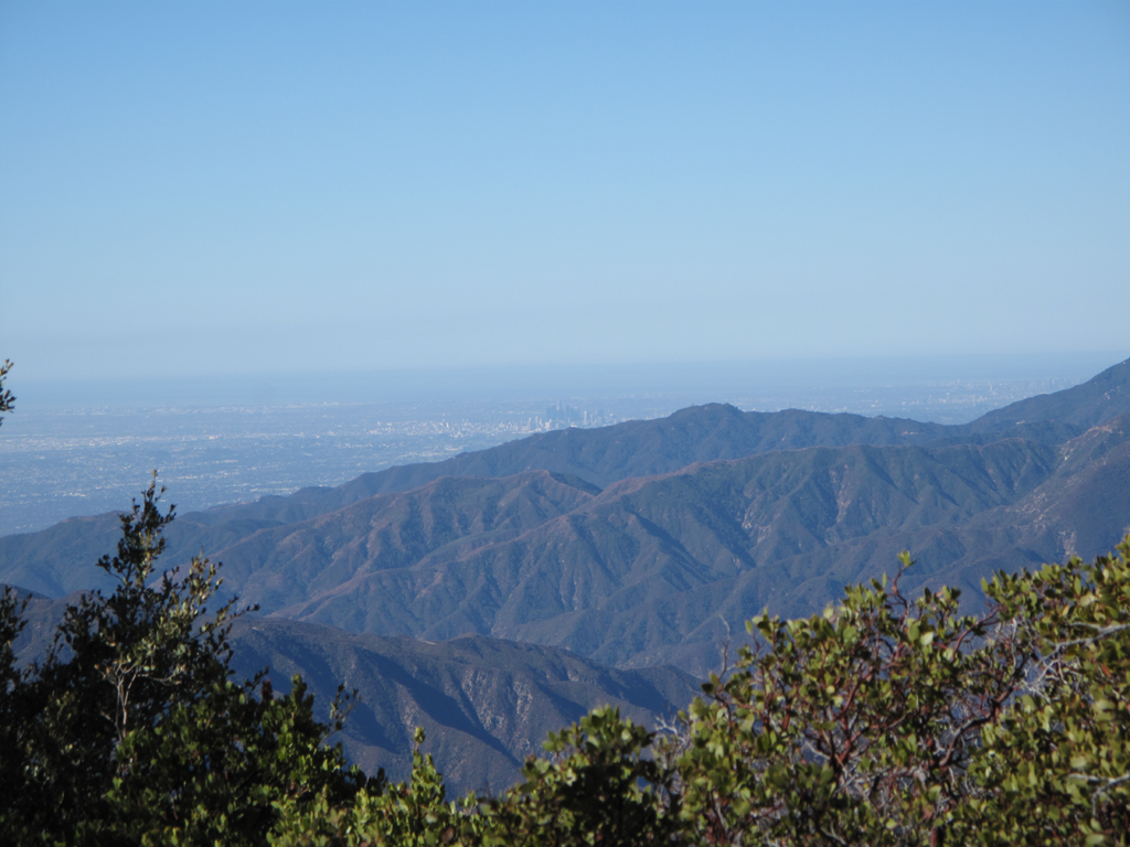
It was a very clear day; downtown L.A. over Glendora.
Fairly typical Iron terrain on a less steep section.
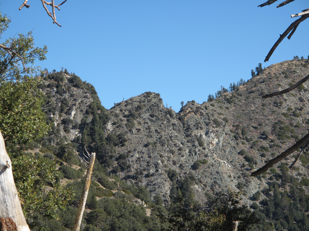
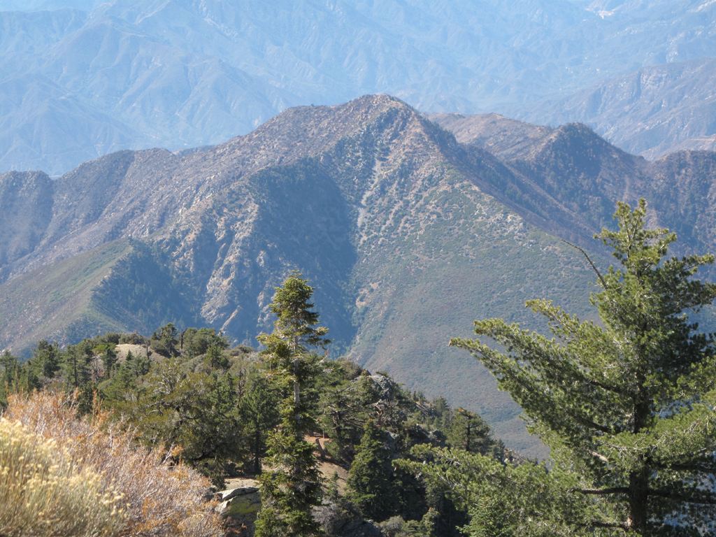
Gunsight notch of the San Antonio Ridge, seen from the Iron Mountain trail.
Rattlesnake Peak, Hawkins Ridge, Twin Peaks, Mt. Wilson in the left background.
San Antonio Ridge, seen from Iron's summit.
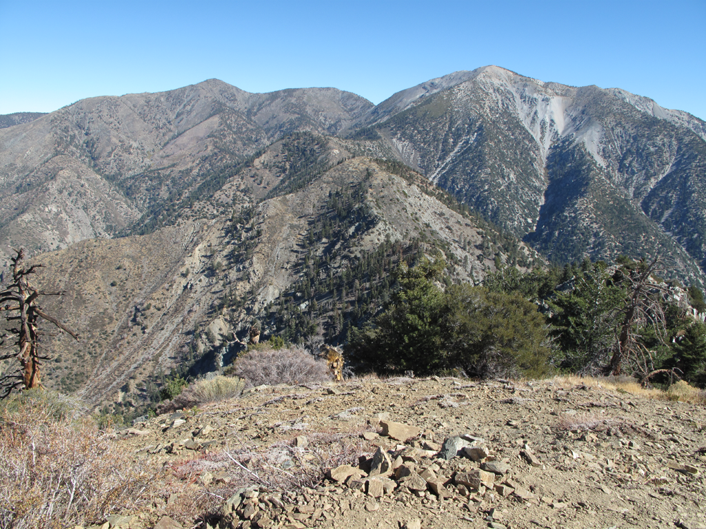
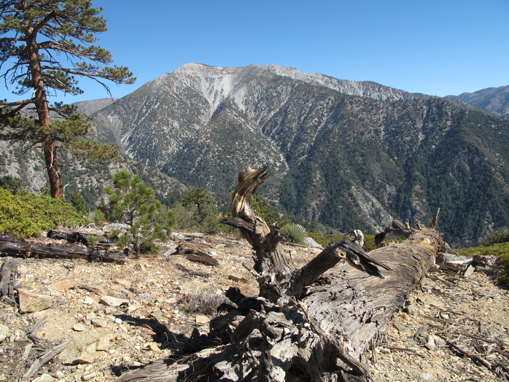
Mount San Antonio, from Iron.
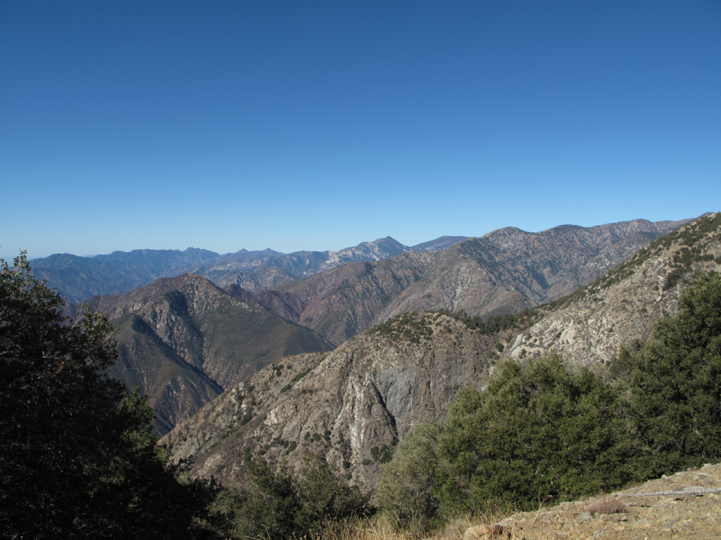
Pine Mountain, Dawson Peak and part of the S.A. Ridge.
Pine Mountain Ridge and Blue Ridge.
Western sections of Pine and Blue Ridges.
Mount Baden-Powell and Ross Mountain. Iron's North ridge in the foreground.
Rattlesnake Peak and the ridge off to Hawkins' on the right.
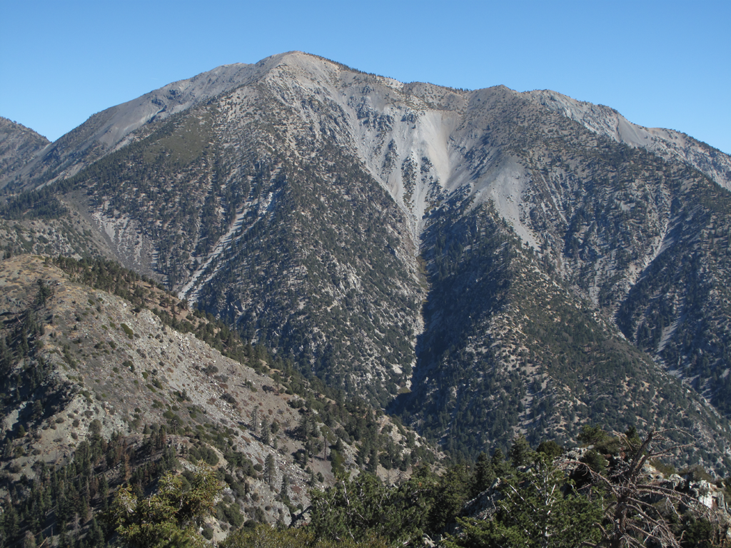
Mount San Antonio, with some Iron trail features in the foreground.
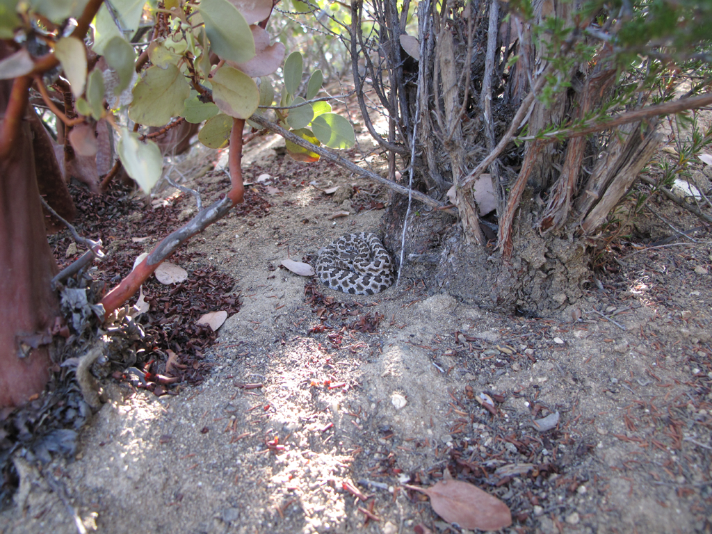
A tiny Crotalus Oreganus Helleri trailside.
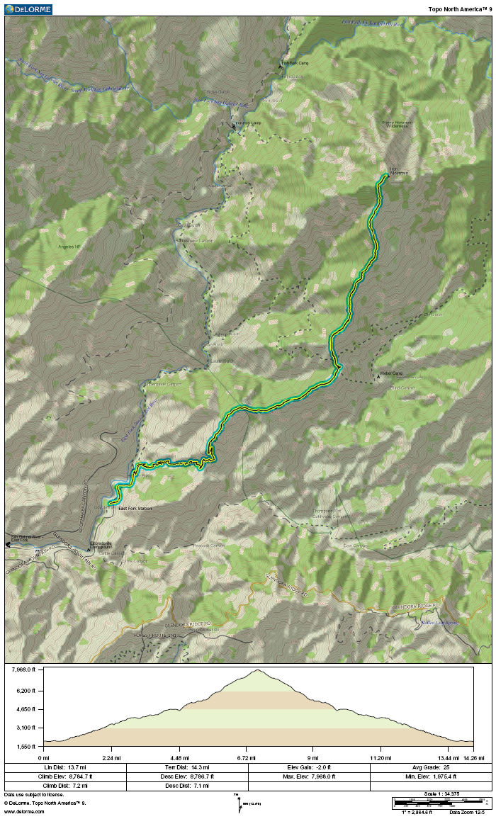
GPS track and elevation plot.