

Saturday morning, Jake headed up the beginning of the Strawberry Peak trail from Red Box, then continued eastward along the former roadbed to Barley Flats. Though overgrown with Turricula and eroded in spots, it's a fairly safe route. He followed Barley Flats Road to Shortcut Canyon. Jake wanted to explore the route of 3N23, taking this to where it crosses West Fork of the San Gabriel River. Next up the streambed to Devore, Gabrielino Trail to Kenyon Devore to Mount Wilson Summit. He finished up the day on Mount Wilson Red Box Road back to the car.
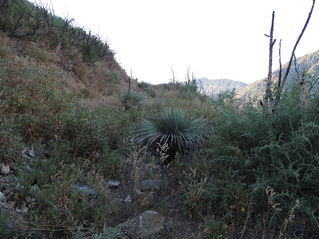
Poodledog, Yucca, and Buckthorn grove known as Red Box - Barley Flats Road.
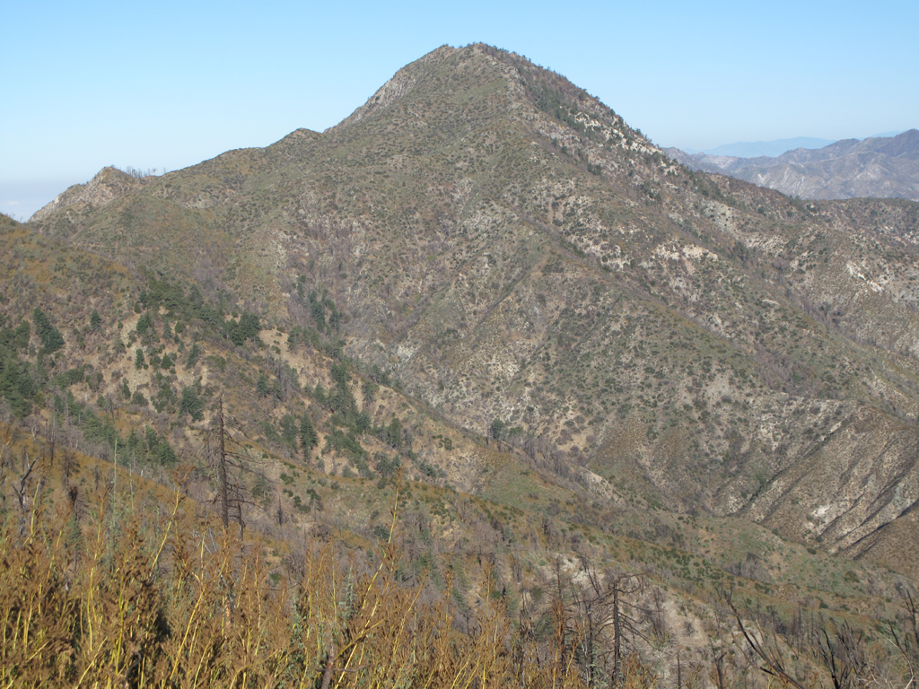
Strawberry Peak looks downright hikeable.
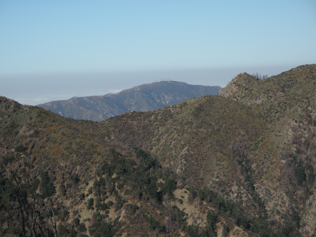
Mount Lukens peeking out through the Strawberry - Lawlor saddle.
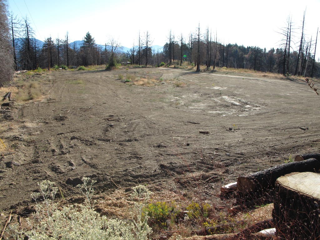
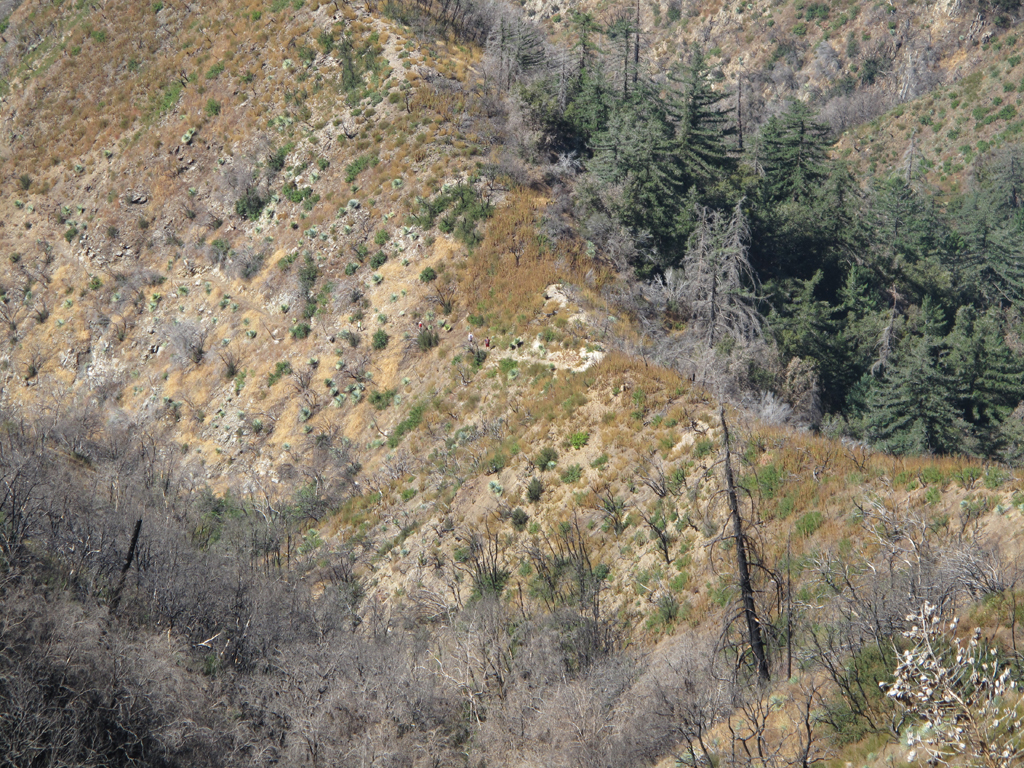
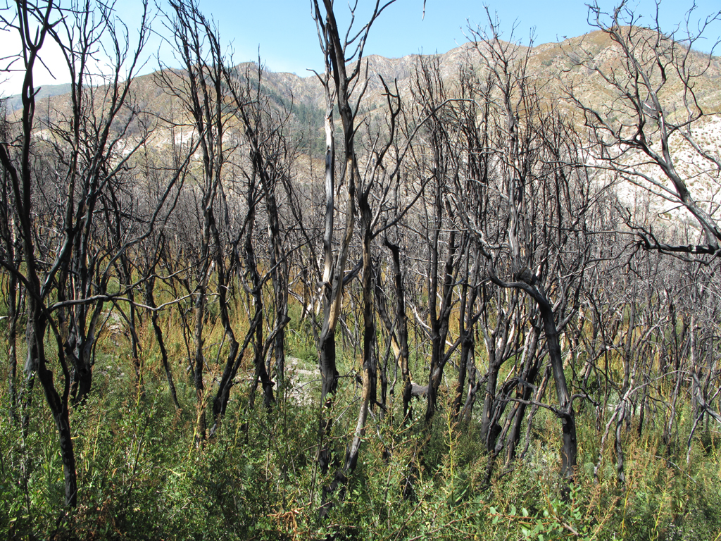
Barley Flats, 2011-09-17.
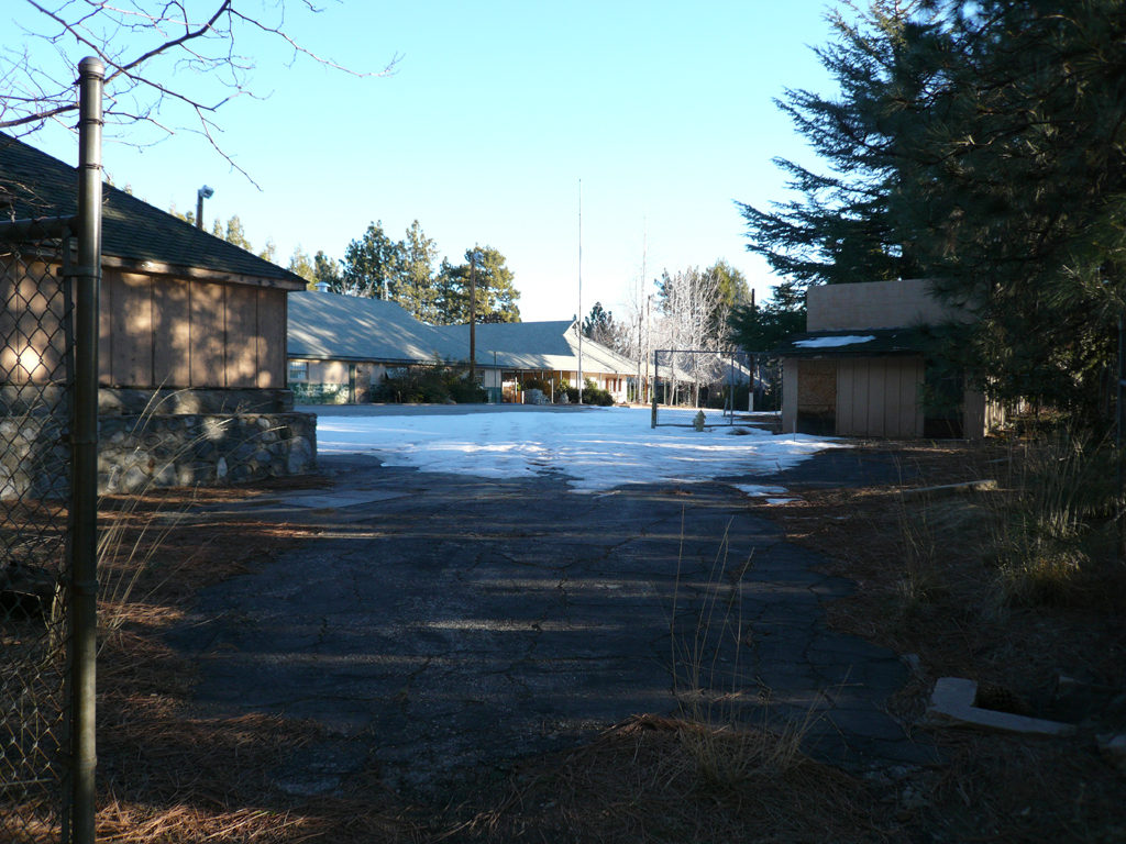
Barley Flats, 2009-01-10.
Barley Flats, 2009-01-10.
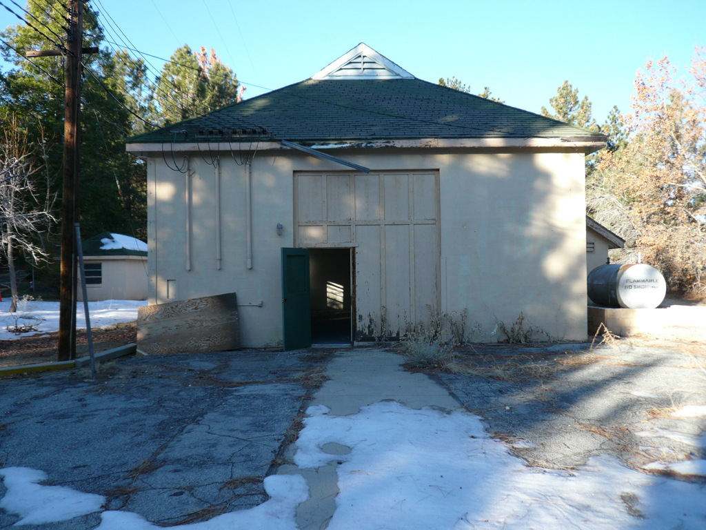
Air Five's home away from home on Barley Flats.
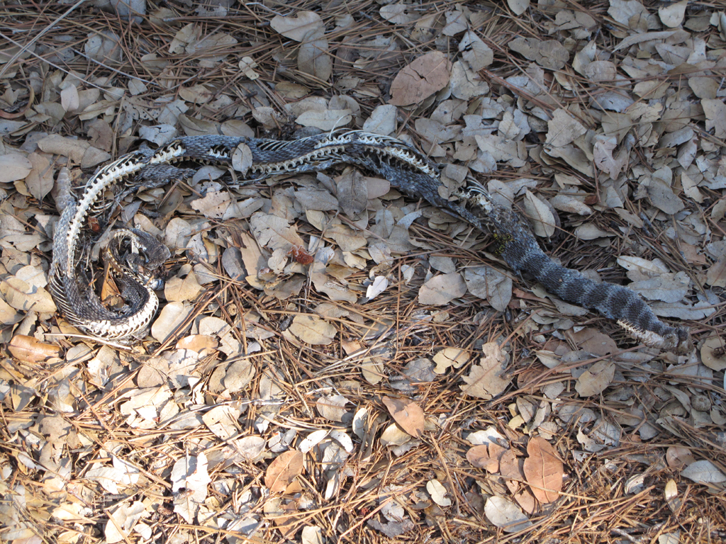
A couple of Yellowjackets feasting on month old rattlesnake carcass.
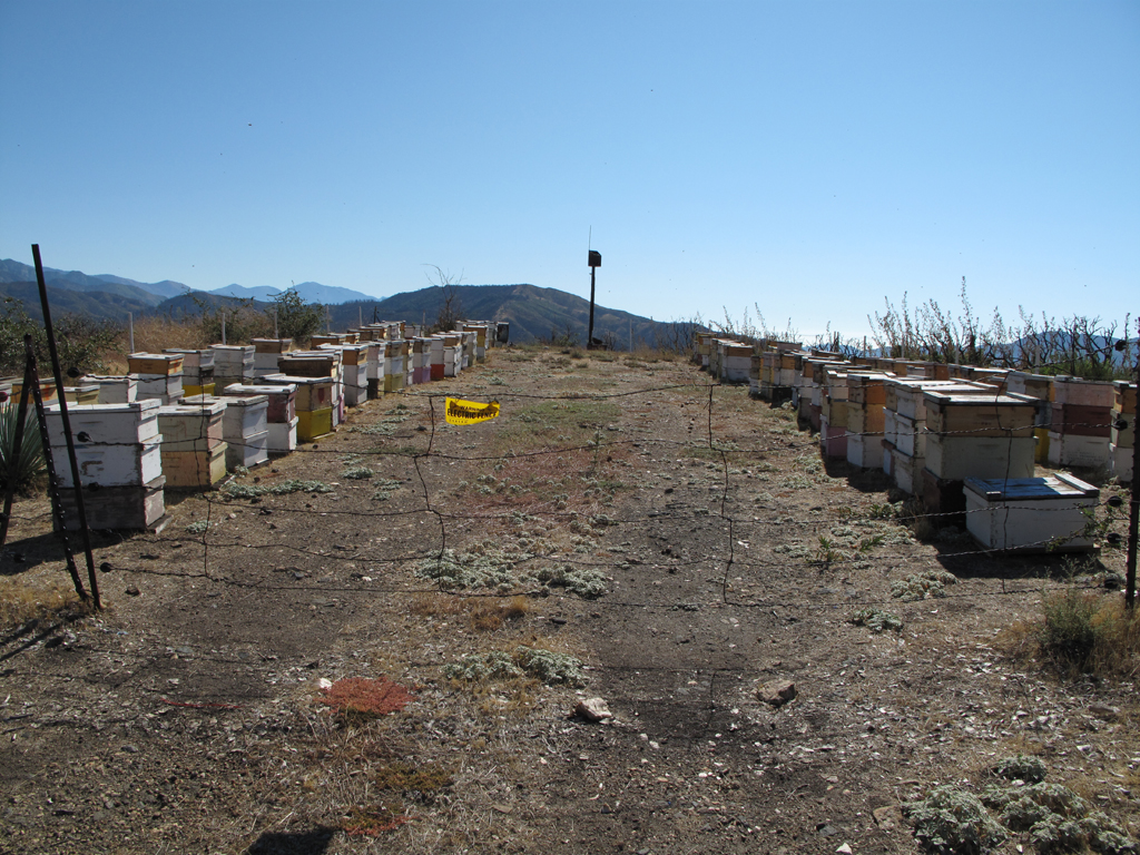
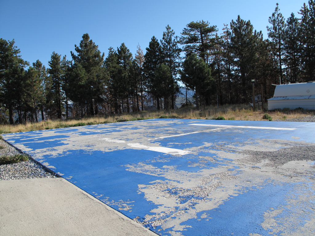
Nice beehives below the flats.
Hikers on the Shortcut Canyon - West Fork trail.
Guess there's something to the recent bobcat sightings.
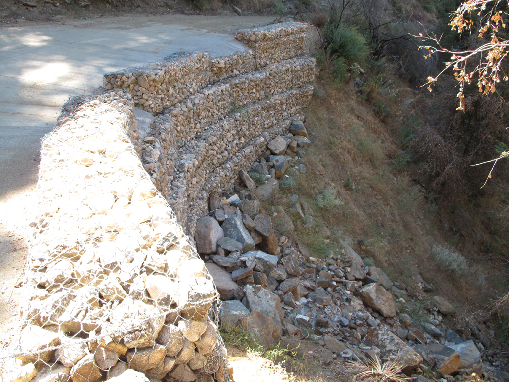
Newish rock cage reinforcements along 3N23.
Wilson, Markham, San Gabriel and Disappointment.
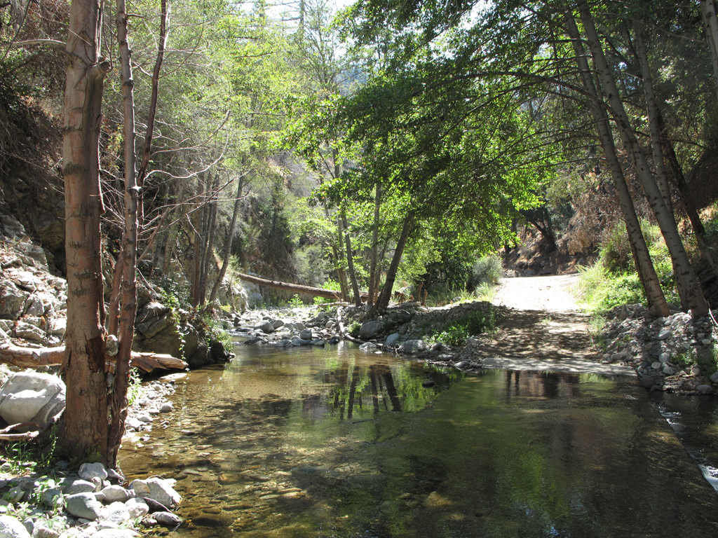
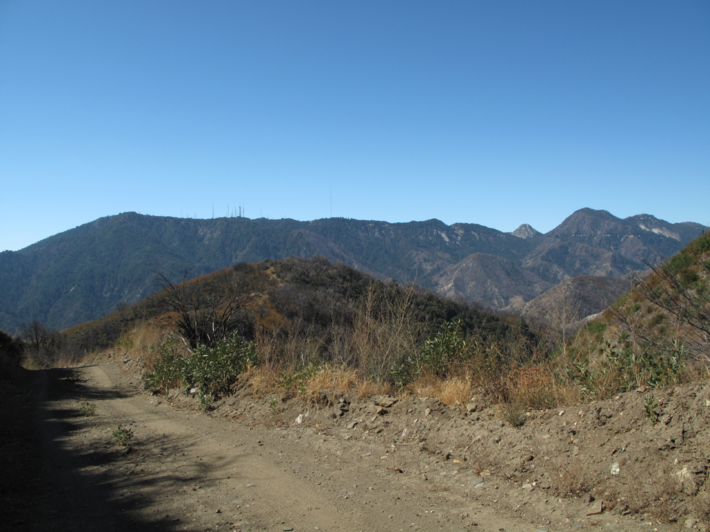
3N23 crosses the West Fork, east of Devore Trail Camp.
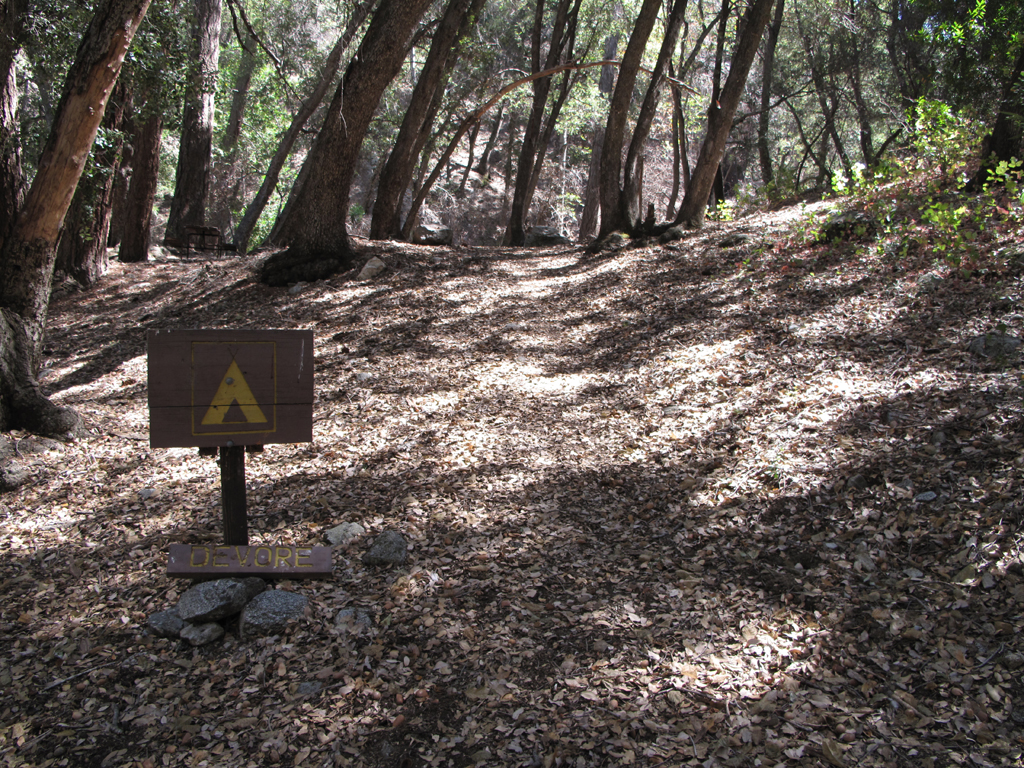
Devore Trail Camp.
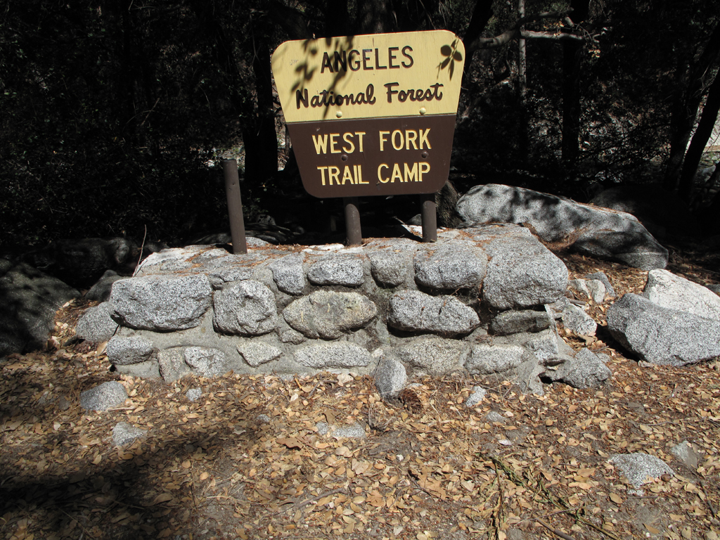
West Fork Trail Camp.
Gabrielino Trail between West Fork Camp and Kenyon Devore Trail.
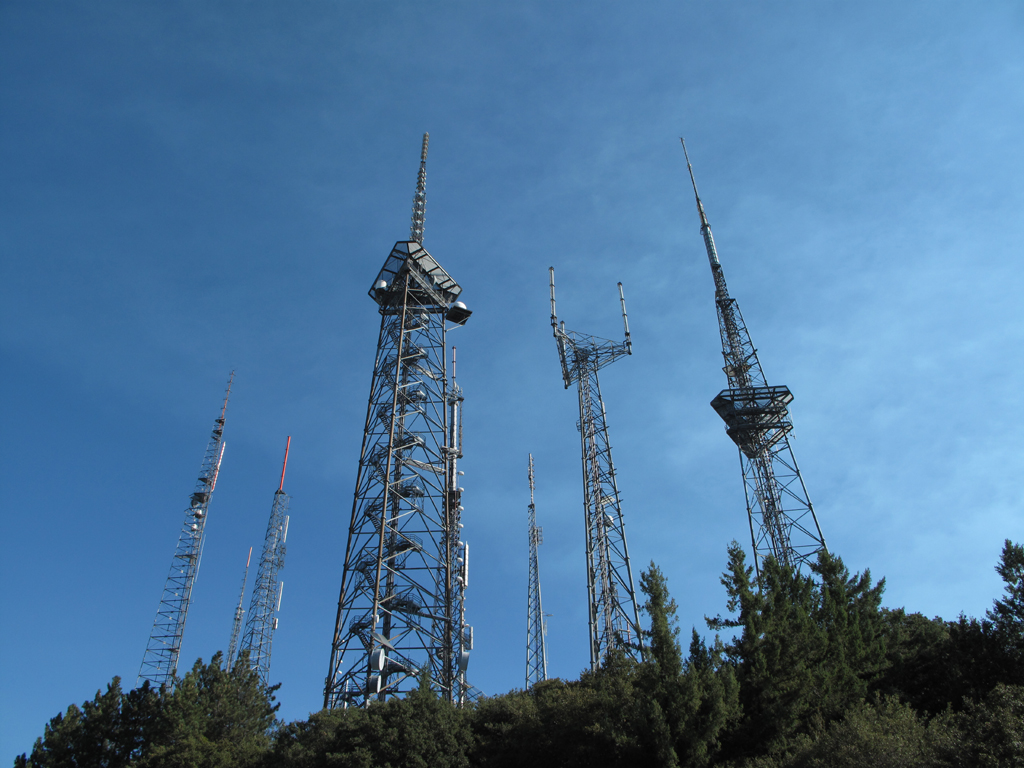
Towers on Mount Wilson.
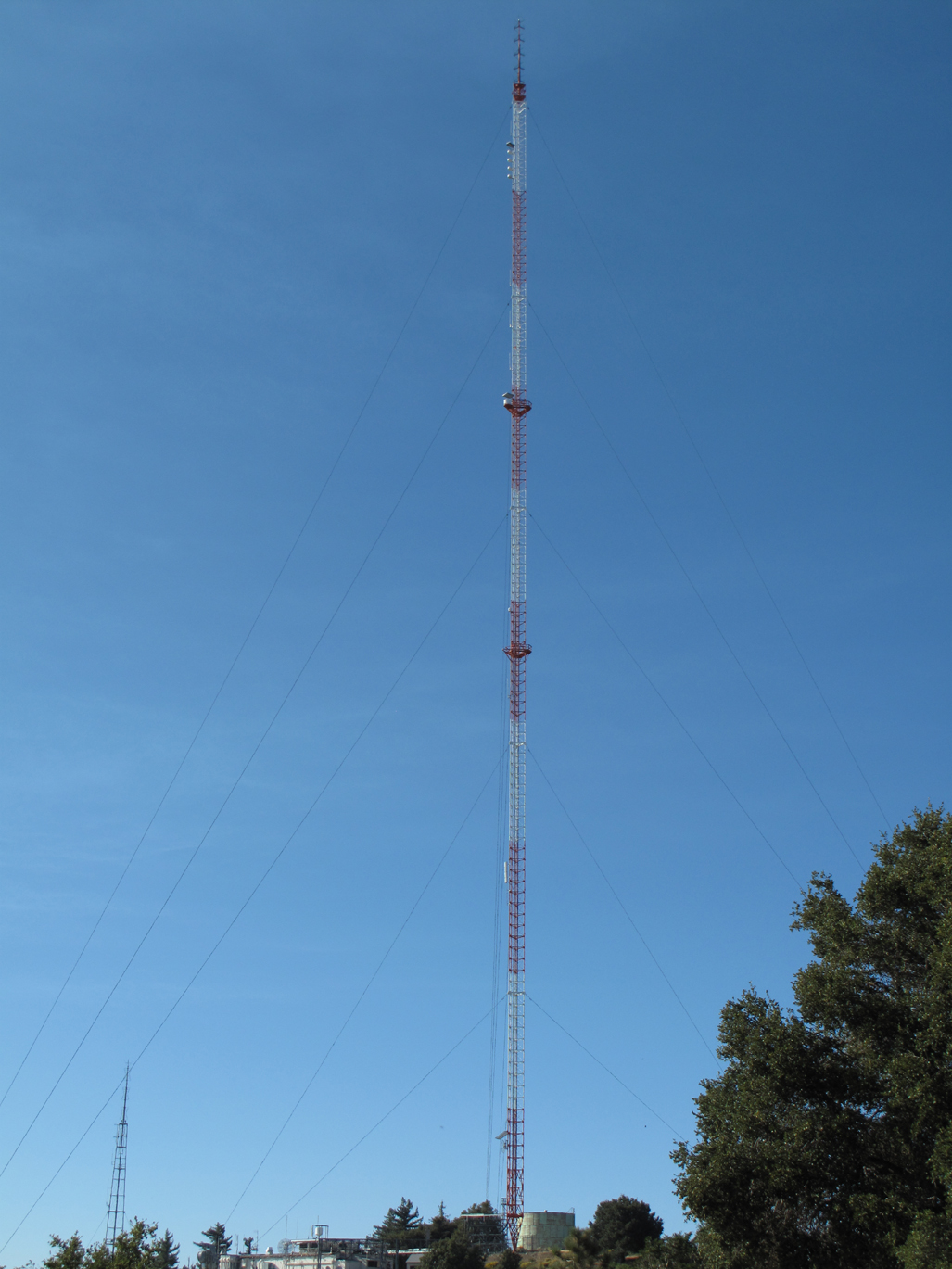
Former KCBS, Nearly 1000' guyed tower on Occidental Peak.
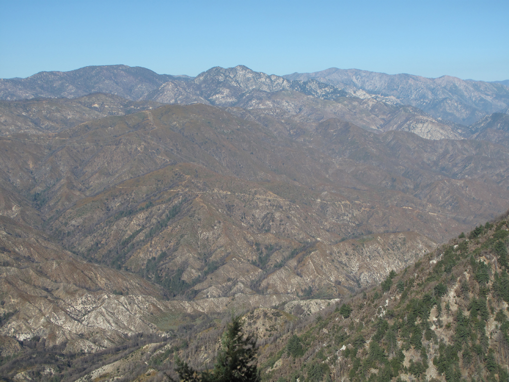
Late afternoon view across West Fork, Shortcut Canyon towards Twin Peaks.
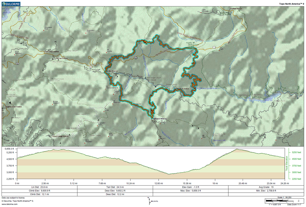
GPS track and elevation plot.


