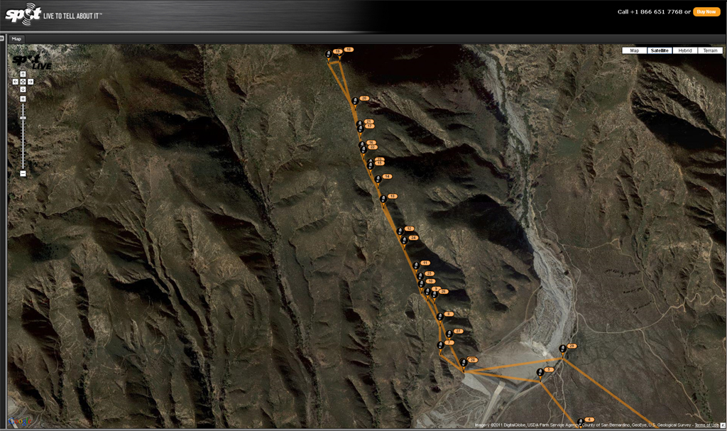
I parked in the lot adjacent to the entrance of the Etiwanda Nature Preserve, and was on the hoof at 0555. I followed the preserve hiking trail to the edge of the Day Canyon debris basin, crossed the basin and picked up a light use trail at the west edge of the dam. The ridge isn't excessively steep, but the trail is intermittent at best, traces an active game trail, then disappears entirely. Brush density varies from irrelevant, to shoulder-high Ceanothus, Arctostaphylos, and other interlocked delightful species. As an added bonus, much of the Buckthorn was wet with fragrant, sticky resin. I made it as far as the 4412 foot bump before admitting defeat and bashing back down. The delightful vegetation also managed to snag my GPS somewhere between just south of the steel ridge marker and the white PVC marker. If any of you brave souls feel like finding it, It's yours to keep. Regardless, a bad day hiking is still better than a good day working, so it's time to find another way up here; maybe via Day Canyon.
Original destination: Etiwanda Peak.
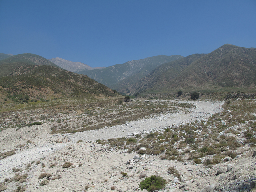
Looking across the Day Canyon debris basin at the lower portion of Smith Ridge.
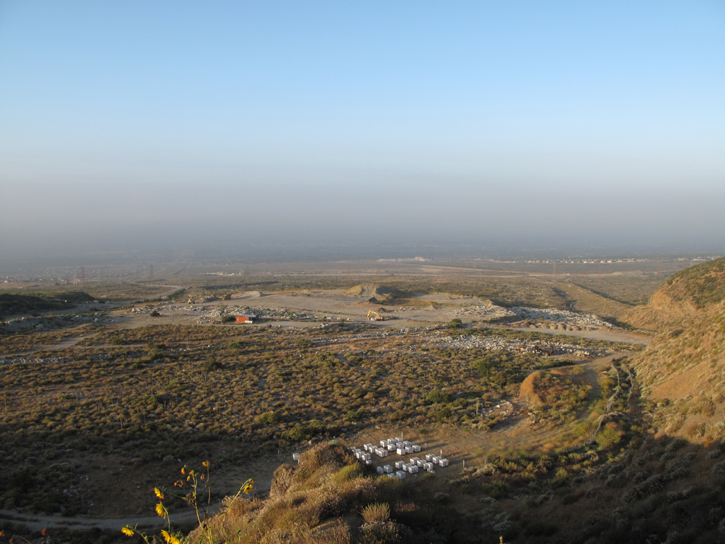
Beehives and other stuff in the wash area west of Day Canyon.
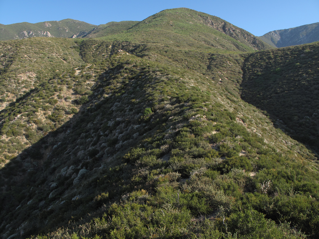
Lower, easier portion of the ridge.
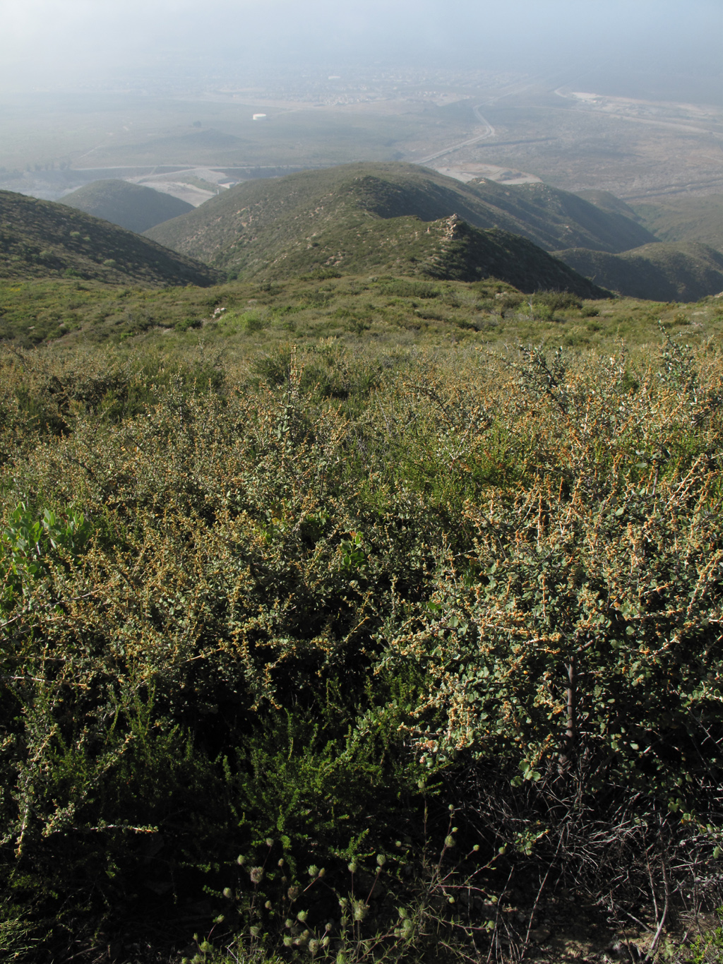
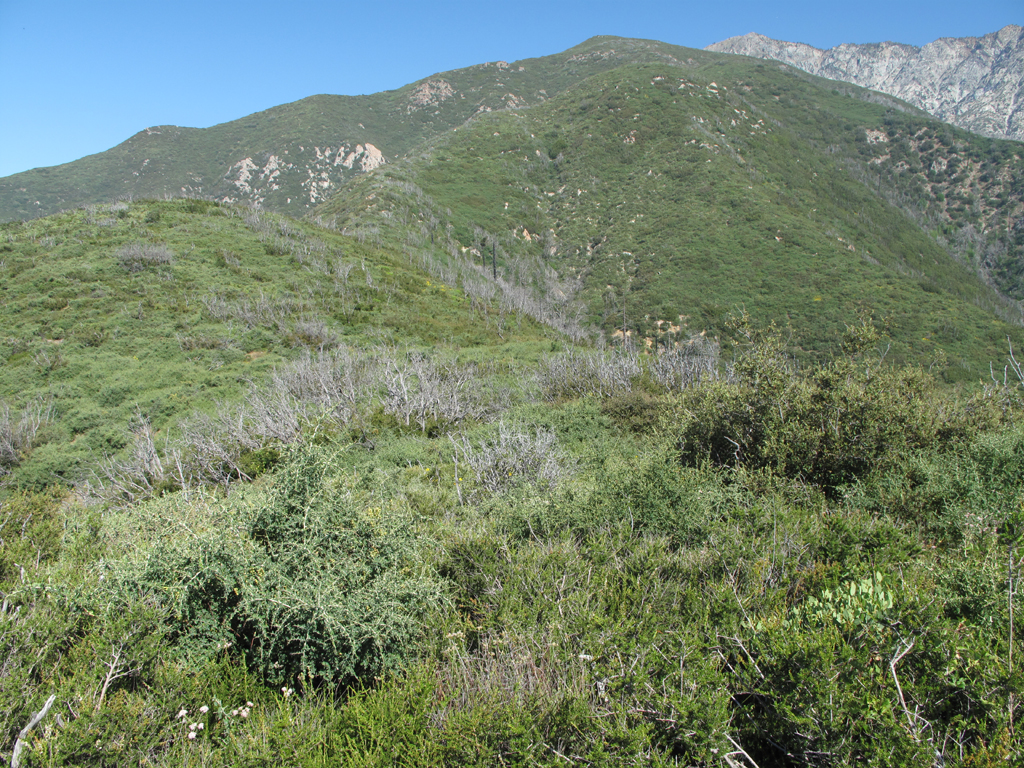
Looking down Smith Ridge, in some fairly heavy brush.
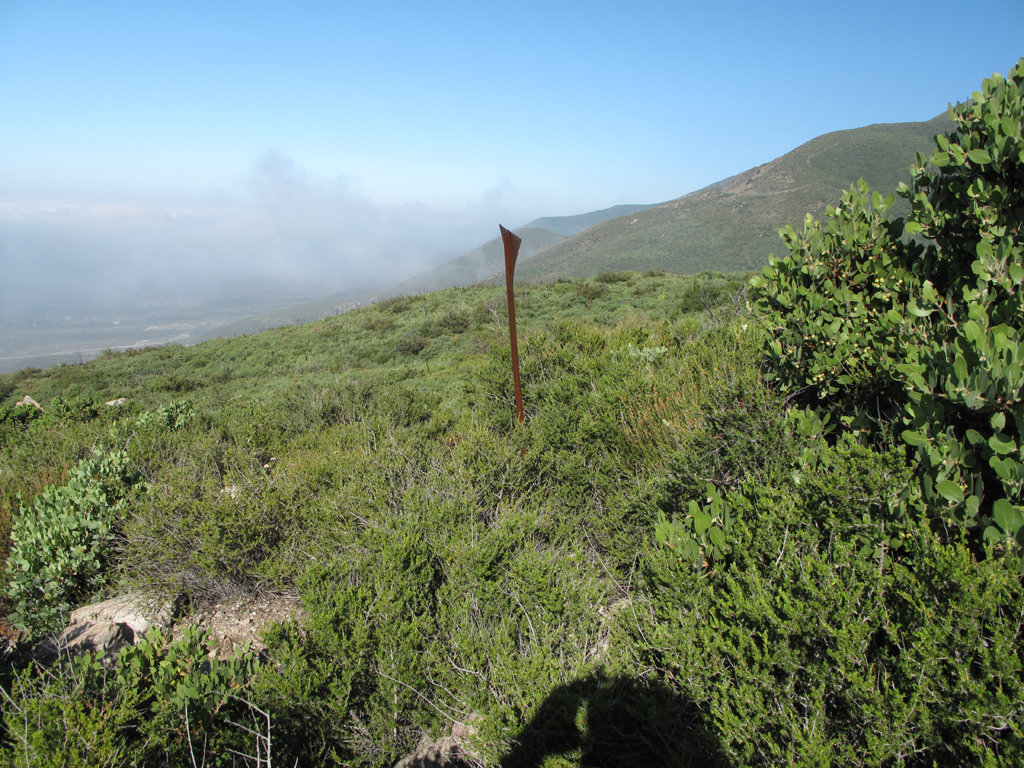
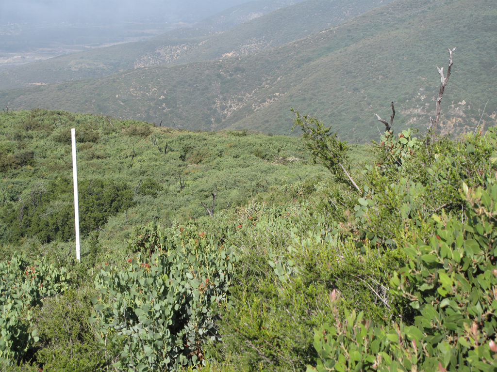
Marker on Smith Ridge. GPS is in the brush around here somewhere.
PVC marker of some sort. Fairly sparse Manzanita around here.
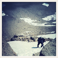
Retreat point. With more than 1000 feet to gain before reaching the brushy fire road it was time for me to turn back.
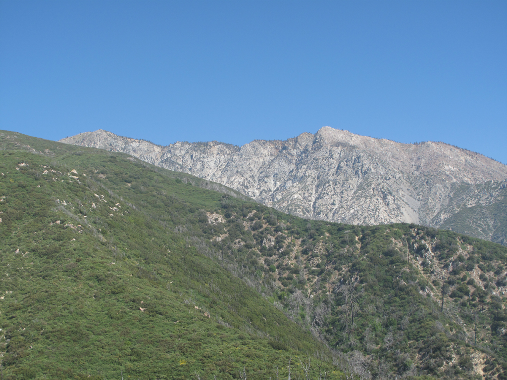
So close, but oh so far away.
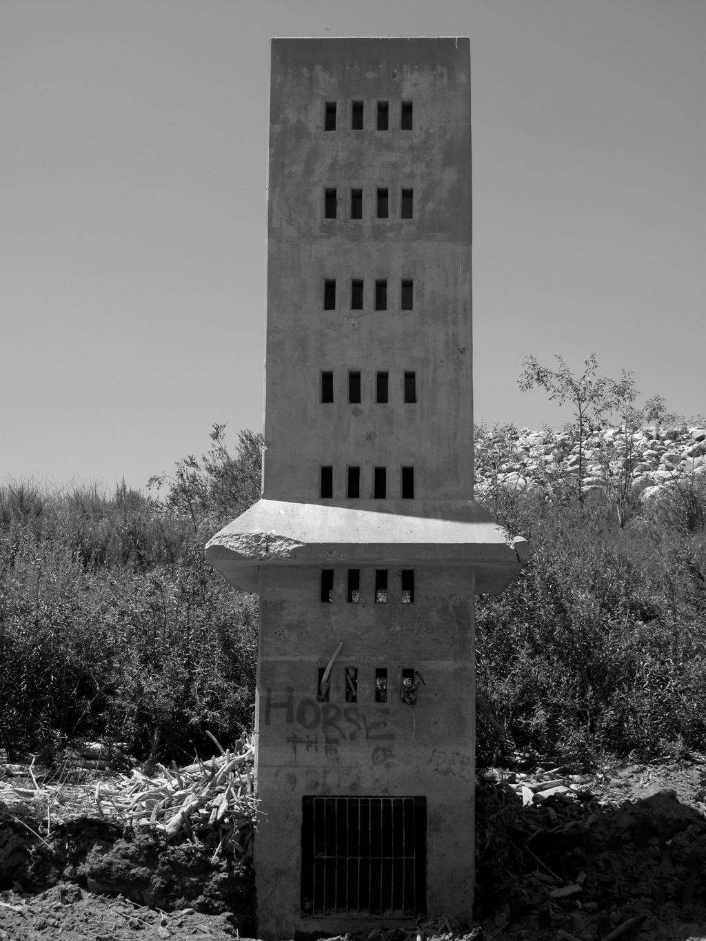
Debris screen / Intake structure for the Day Canyon dam.
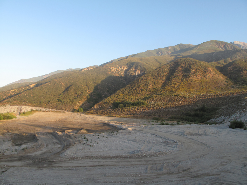
View from the bottom of Day Canyon.