My latest trip is a loop from the Crystal Lake visitor center area to Windy Gap to Mt Islip down the Islip Ridge Trail and then returning to the Crystal Lake VC area via the Big Cienega Trail. Starting from the old Windy Gap trailhead is not currently possible; the USFS has the road past the VC gated.
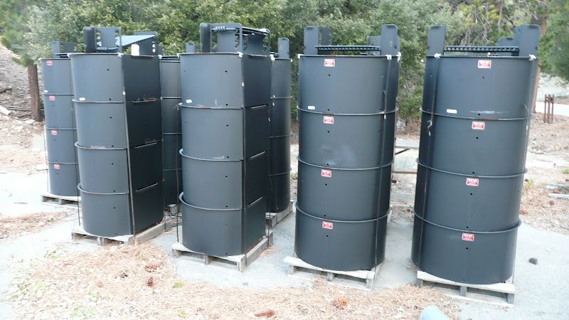
One starts one's walk near the VC. One quickly goes into the massive array of camping areas. Though no camping is currently permitted, it does look as though they are planning on it. Here are stacks of new fire pits.
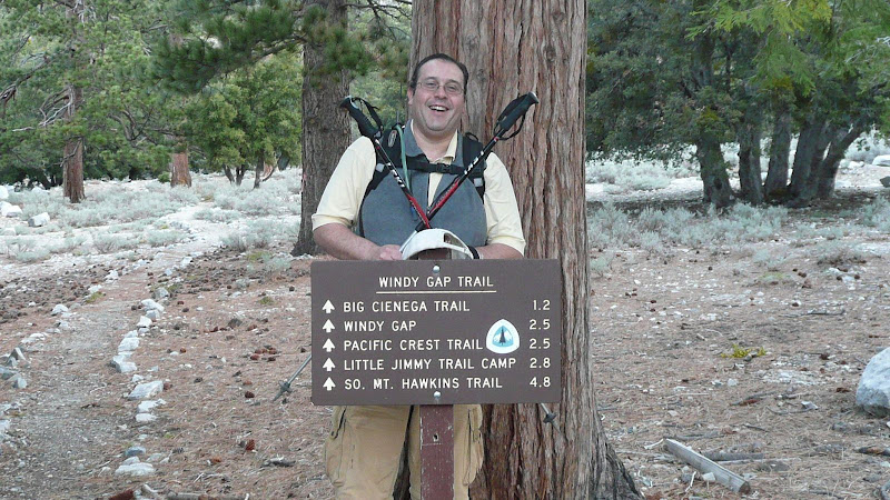
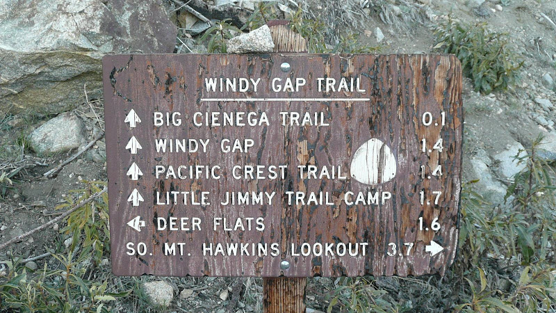
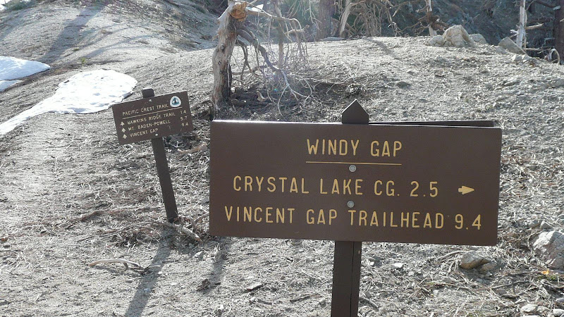
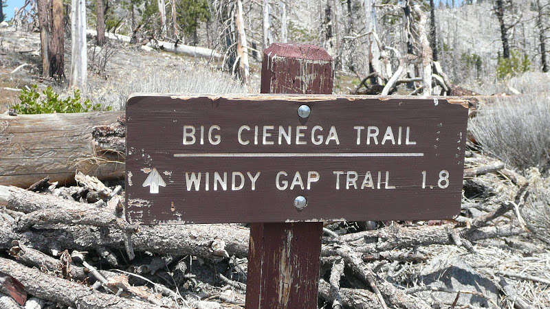
The Windy Gap trailhead is clearly marked with a nice new sign. Anyone care to hazard a guess as to how long it'll be before someone steals the PCT emblem?
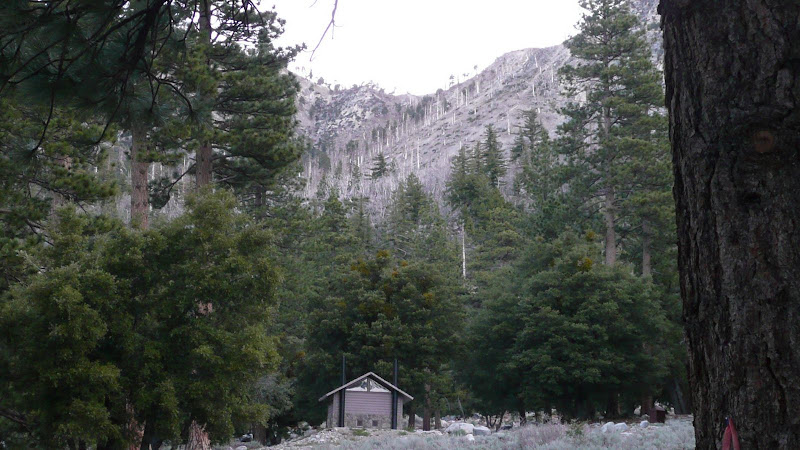
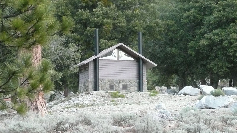
Our first real objective, Windy Gap, soon looms into view. Note the new bathroom, part of $6,000,000.00 worth of investment.
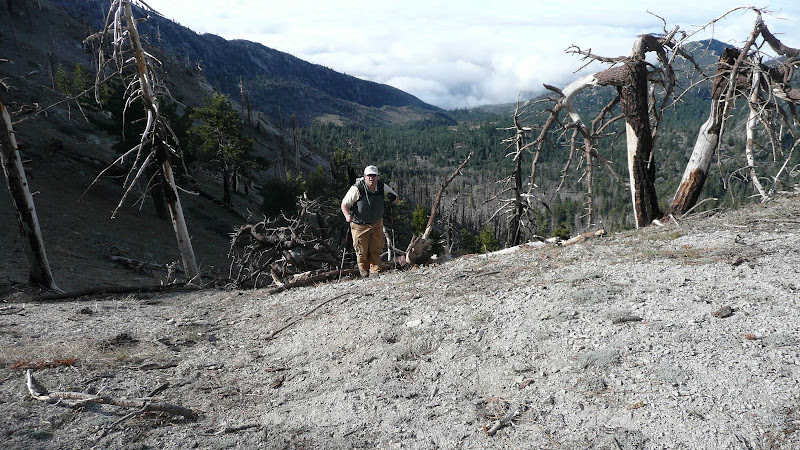
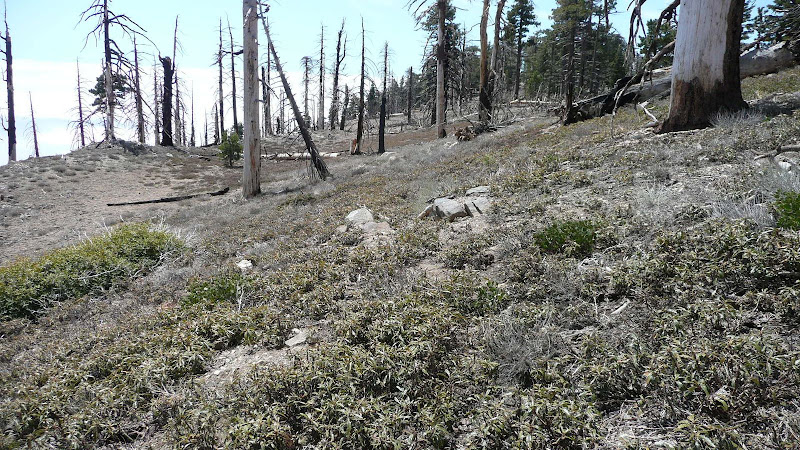
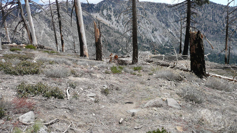
Evidence of the 2002 Curve Fire abounds.
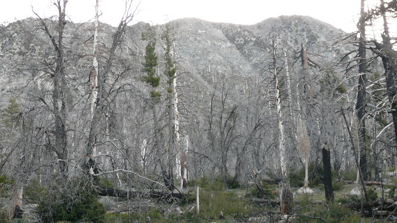
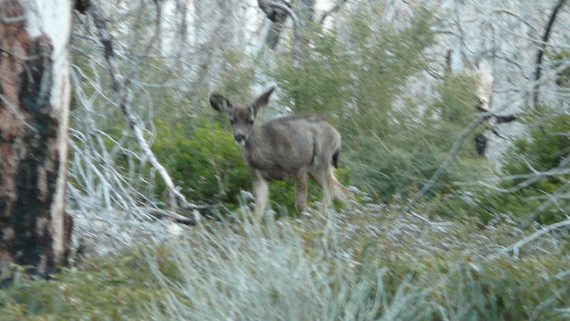
But I am happy to report that the forest though scarred is not dead.
Mama:
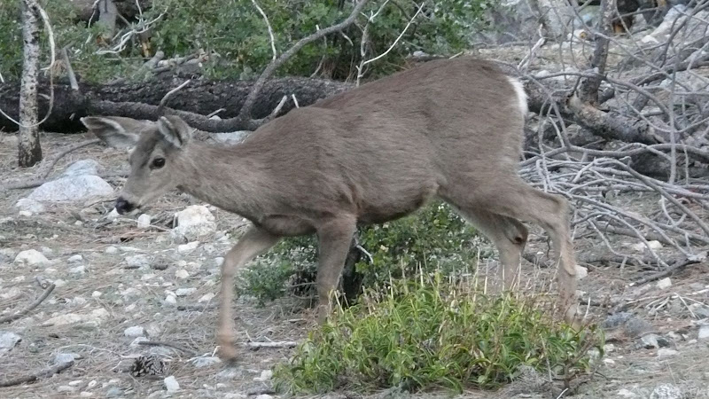
Baby:
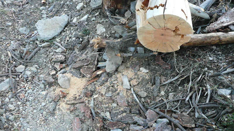
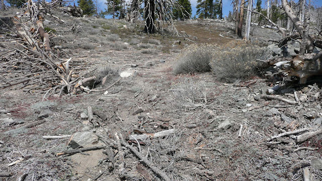
The lower section of the trail (up to the the upper road crossing) is in good shape and shows signs of recent maintenance. Thank you SGMTB!!
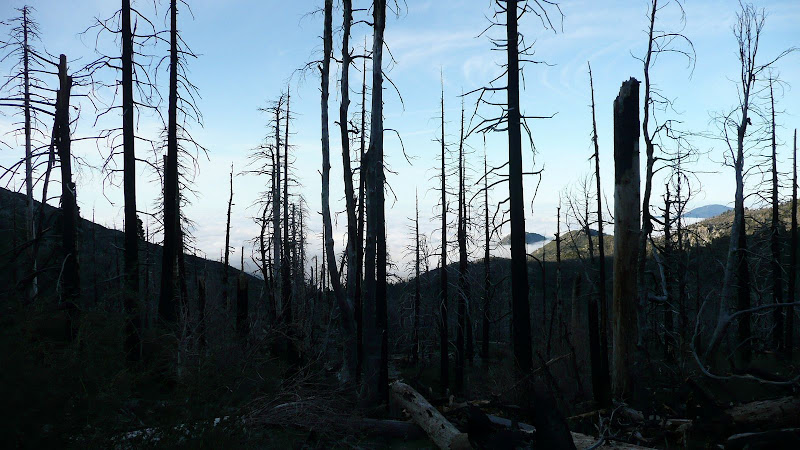
The fire didn't show much mercy.
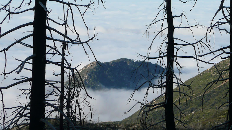
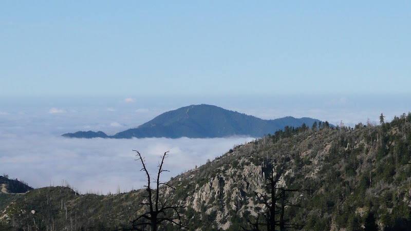
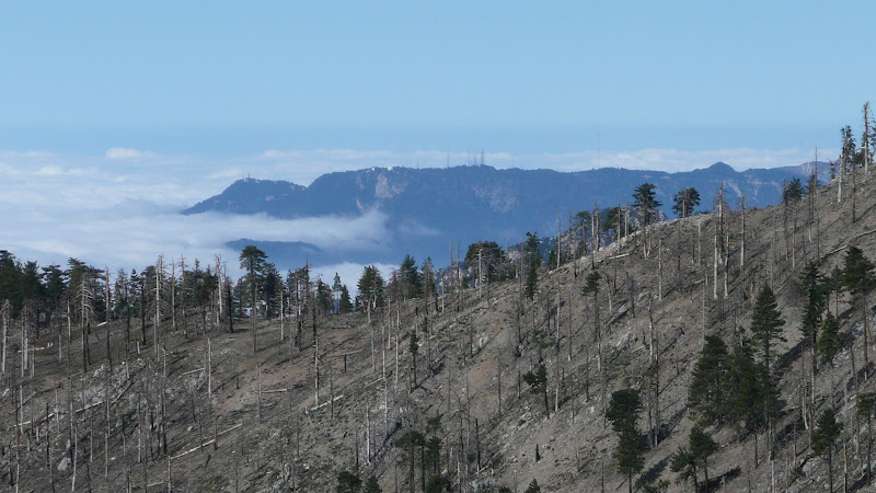
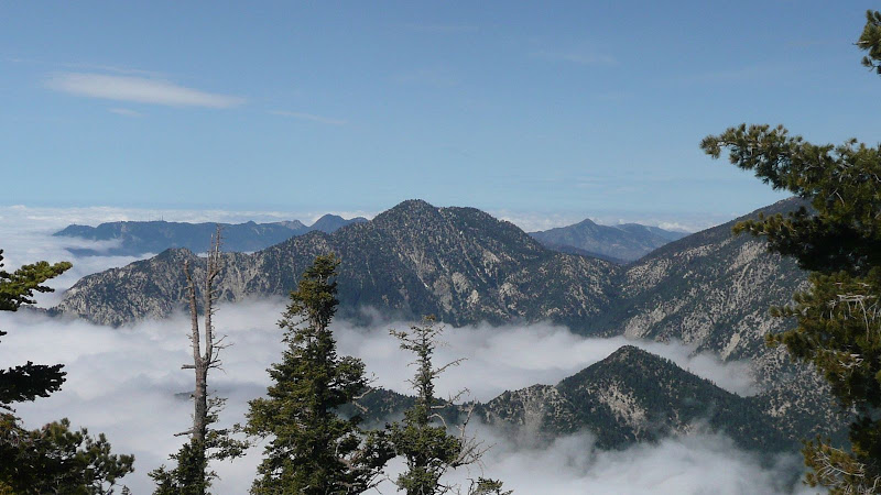
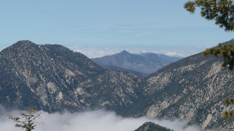
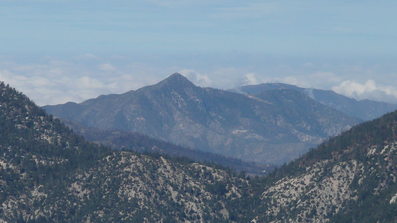
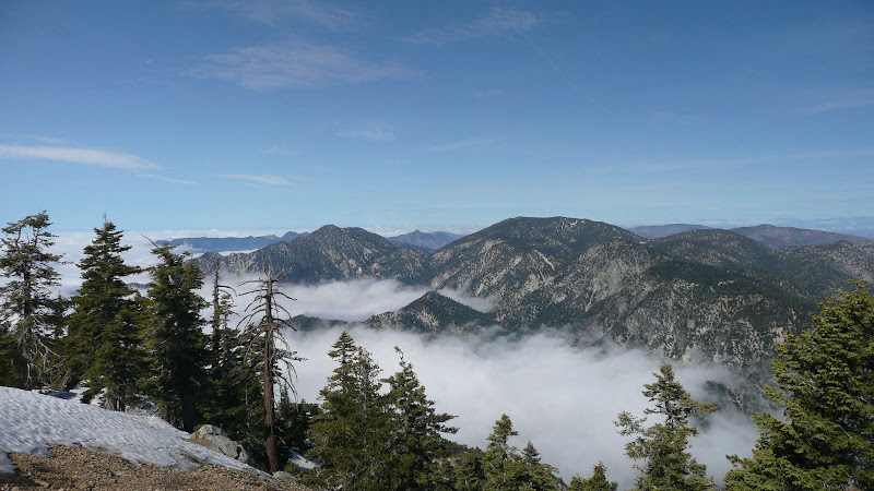
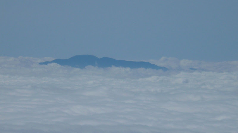
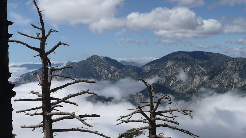
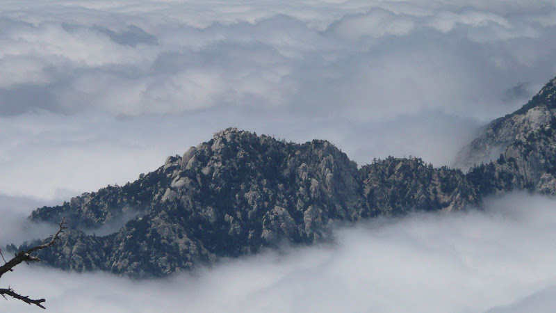
It's cloudy below but sunny here. Smith Mountain pokes its head through the clouds.
I believe that's Monrovia Peak off to the right.
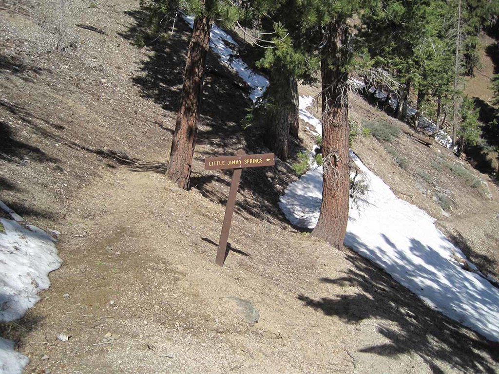
The trail sign at the upper road crossing is blackened but it survived the fire.
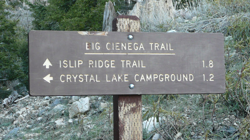
A bit further on, we come to the junction with the Big Cienega trail which will be our return route. Contrary to what some maps show, the Big Cienega Trail junction is not at the upper road crossing.
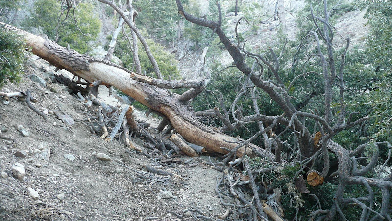
Just past the junction, we come to the first of many downed trees. My friend Will said that he counted more than 45 downed trees that we had to clamber over or around.
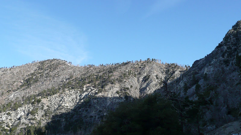
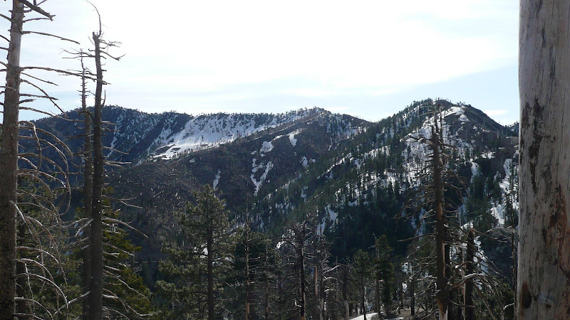
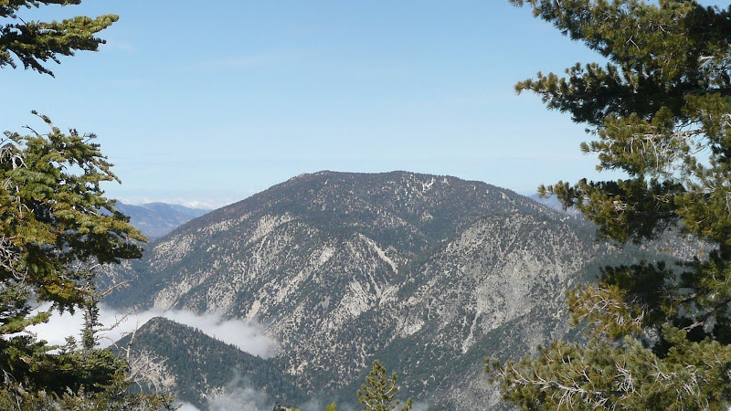
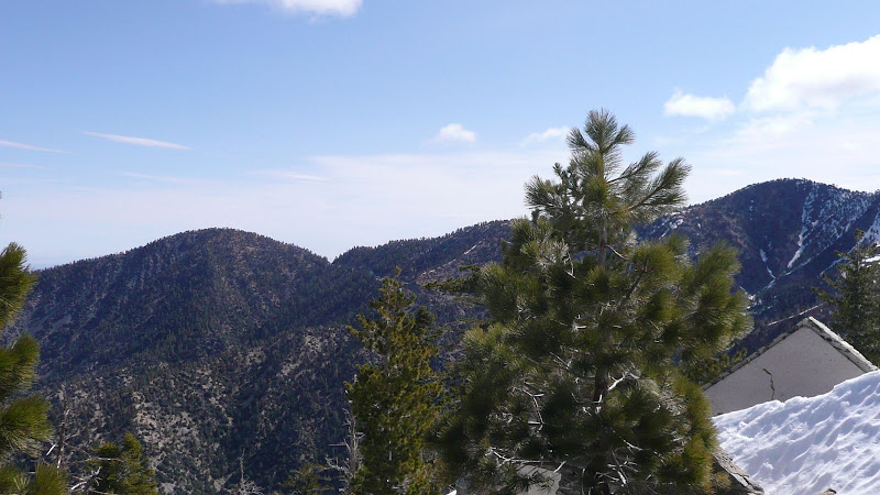
The last vestiges of snow on South Hawkins Ridge.
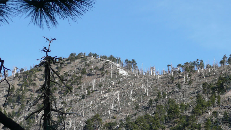
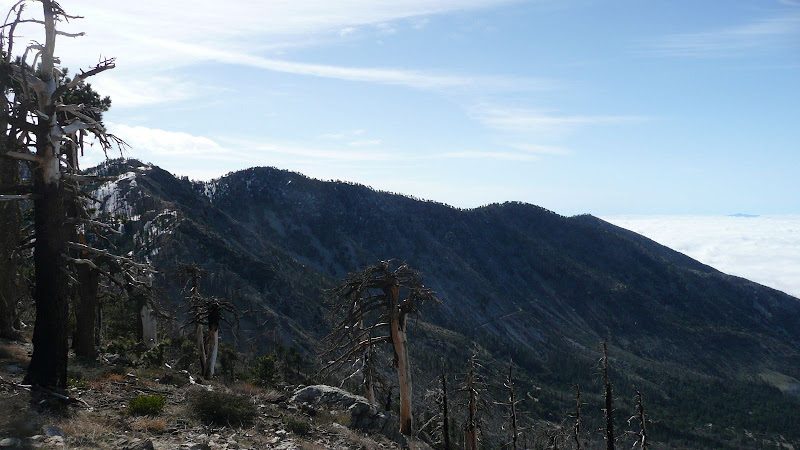
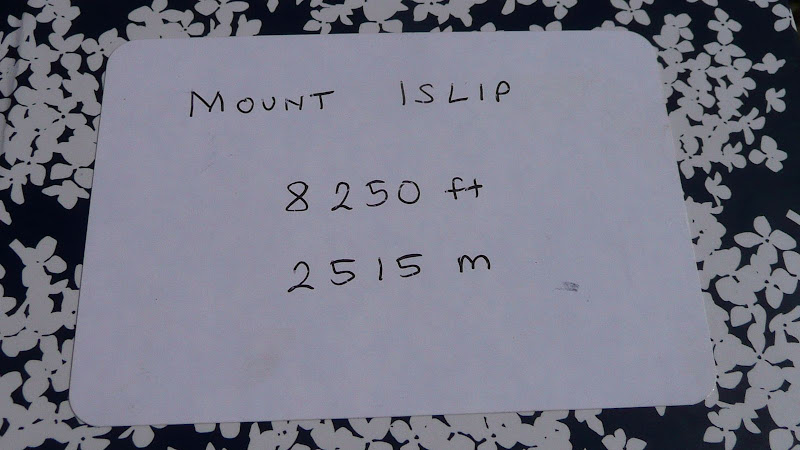
Mount Islip from the Windy Gap Trail. Very little snow.
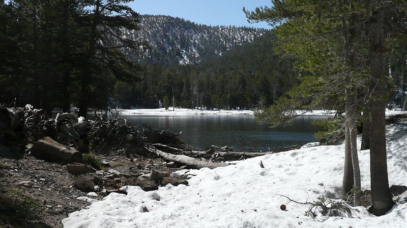
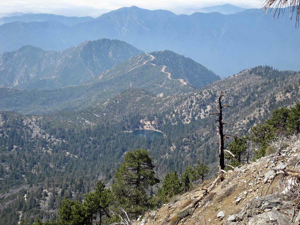
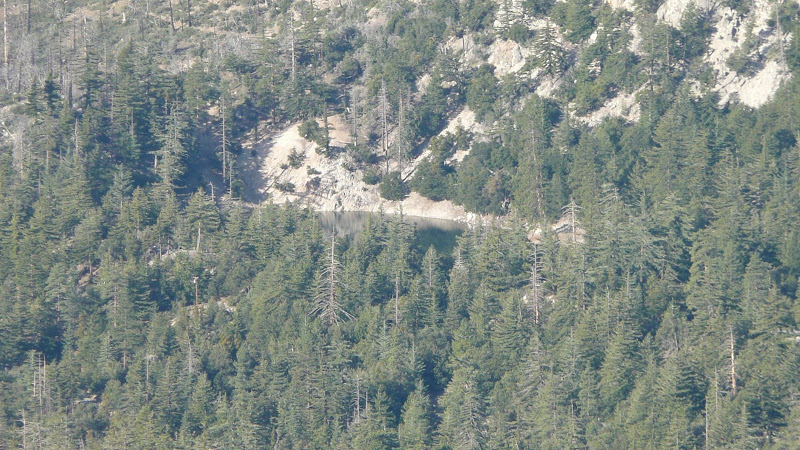
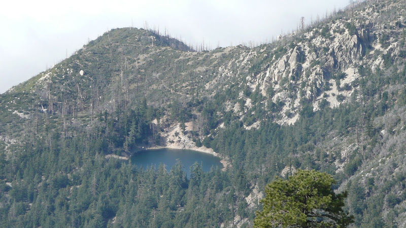
As we approach the gap, Crystal Lake starts becoming visible.
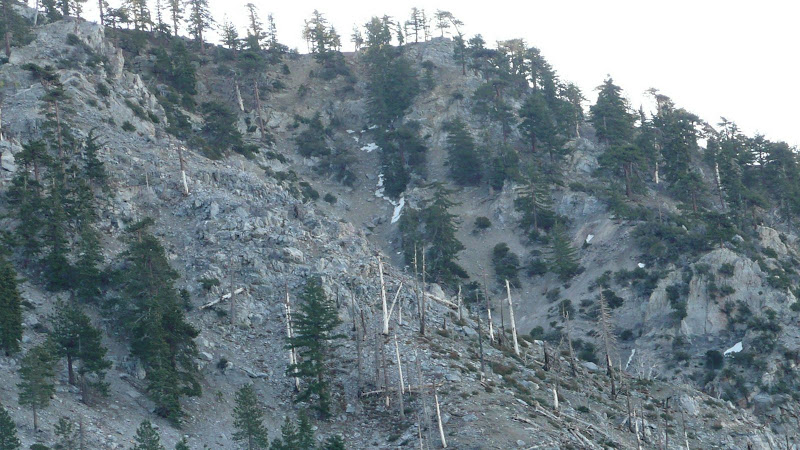
Some of the Sutter Walls on the trail are pretty beat up, but overall the trail is in pretty good shape considering.
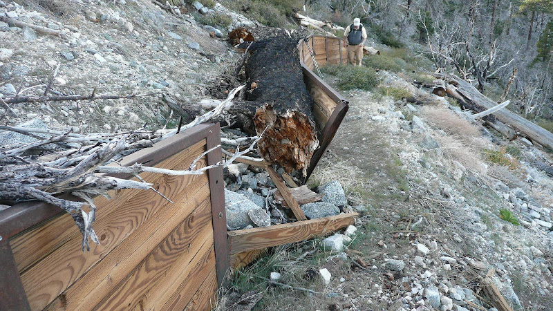
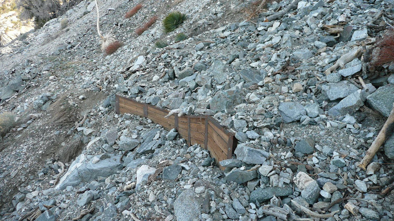
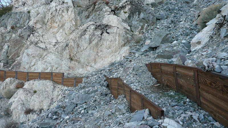
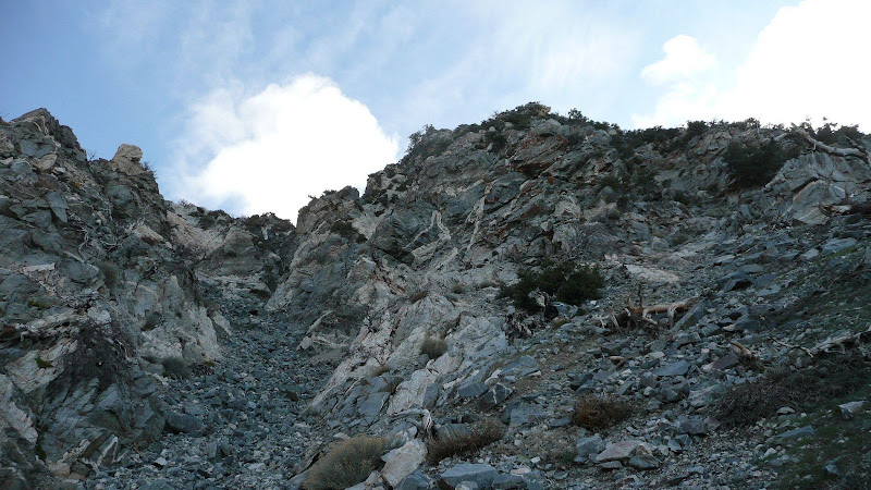
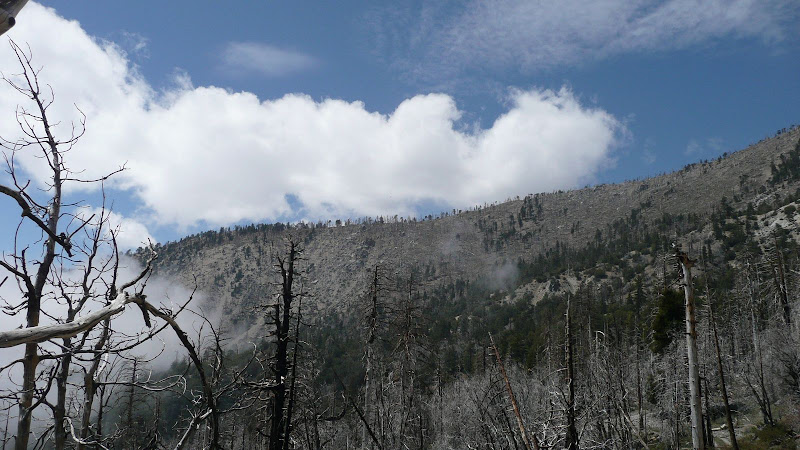
And considering what lies above, it's no wonder.
With were one deadfall is, it's actually easier to just ascend the last little bit to the gap directly.
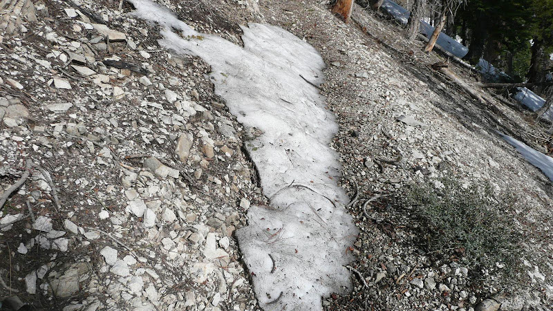
At the gap, we see our first snow.
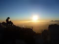
View from the gap.
The signs in the gap are a bit confused. They really need an arrow on the Vincent Gap destination on the sign in the foreground.
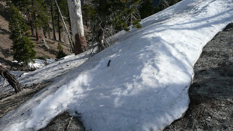
From the gap, we start up the regular trail to Mount Islip. There's only a bit of snow at first.
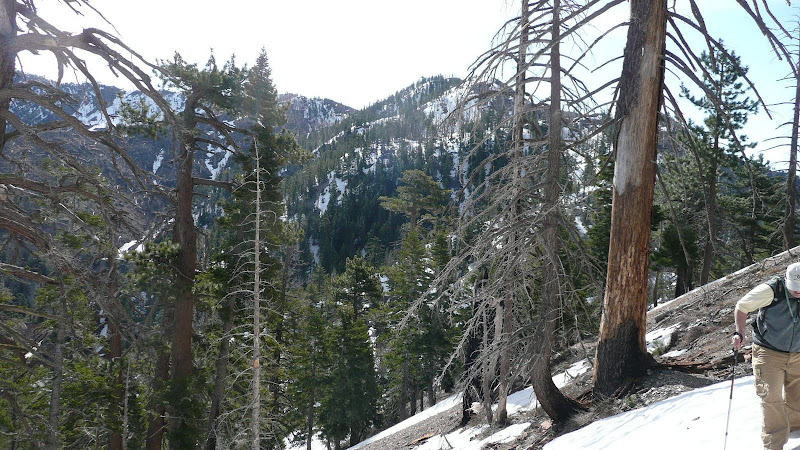
But as we get on to more north facing slopes, the snow gets a little bit more significant. so we just cut up to the ridge top and followed the ridge.
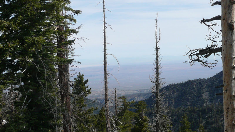
The ridge top is a good route and provides some nice views. The Mojave Desert:
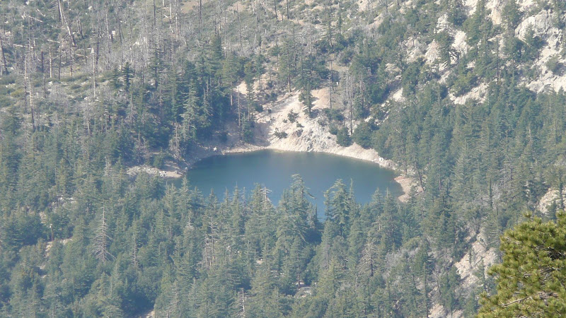
Crystal Lake.
On the far horizon, Throop Peak (left) and Mount Hawkins (right).
Beyond Islip Ridge, Mount Harvard (left), Mount Wilson (middle, with observatory domes and many antennae), and Occidental Peak (right, very apical).
On the far horizon, Middle Hawkins (left), "Sadie" Hawkins (middle), and South Mount Hawkins (right).
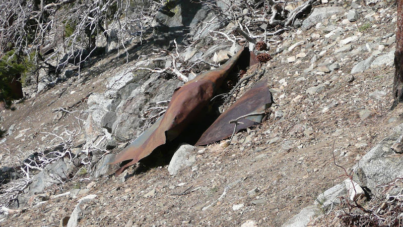
Coming along, we encounter this old bit of sheet metal which I assume was the roof or something of the old fire lookout.
Almost to the summit, we come to the junction with the spur trail to the peak. The topo map (see above link) shows the spur trail going west and then ascending before it reaches the spine of the major SW trending ridge of Mount Islip. Not correct. The trail does reach the spur of the SW trending ridge, and whether summer or winter, ascending the spine makes a lot more sense than following the trail which is a roundabout waste of time. Right now, with heavy snow still on the north face, the SW ridge makes even more sense.
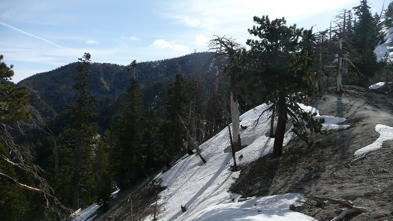
From the junction, the Islip Ridge trail generally follows the SW trending ridge. This will be our return route to get back to Crystal Lake. Clearly, this trail has gotten a lot less use than the trail from Windy Gap.
From the spine of the SW ridge, just before ascending the final leg to the summit, I snapped this photo. I think it turned out really well. The San Gabriels at their scenic finest. L to R: Mount Harvard, Mount Wilson, Occidental Peak, Mount Lowe (just visible to the left of Mount Markham), Mount Markham (gray rock, flat topped), Markham Saddle (the prominent gap in the ridgeline on the horizon), San Gabriel Peak (the highest on the the far horizon), Mount Disappointment. Then the far horizon is blocked by Twin Peaks. To the right of Twin Peaks is Strawberry Peak and Mount Lukens. Partially blocked by the Sugar Pine (Pinus lambertiana) is Mount Waterman.
If you look closely, you can see Josephine Peak against the back drop of Mount Lukens.
Mount Waterman
I'm less sure about the two on the left, but here's my best guess, left to right: Pleasant View Ridge/Thrall Peak, Pallet Mountain, and Mount Williamson. I say I'm less sure since I would have thought the high point on Pleasant View Ridge would stand out more as a separate summit as compared to Thrall Peak. Any feedback appreciated.
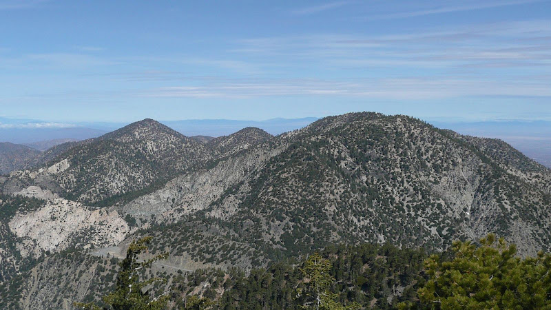
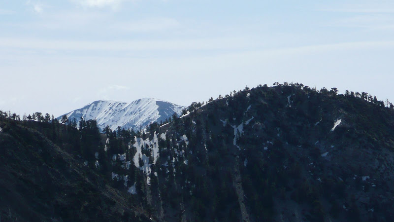
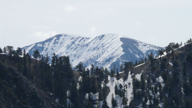
Finally, we arrive on the summit. From the summit we can see Mount Baldy quite clearly.
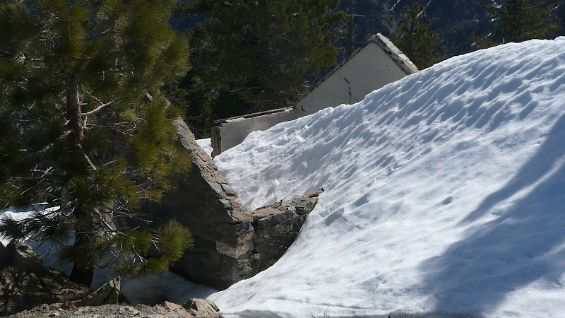
The old cabin is still quite full of snow.
It's no wonder they built a fire lookout here. Just look at the view.
Left to Right: Mount Gleason, Winston Ridge, and Mount Pacifico.
It looks like a lot of the trees on the summit of Mount Pacifico survived the Station Fire of 2009.
Mount Lewis (left), Dawson Saddle (middle), Throop Peak (right).
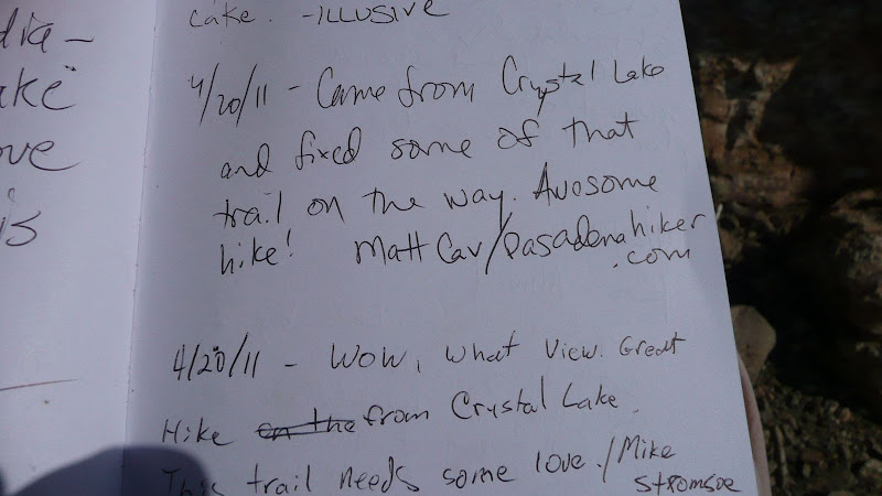
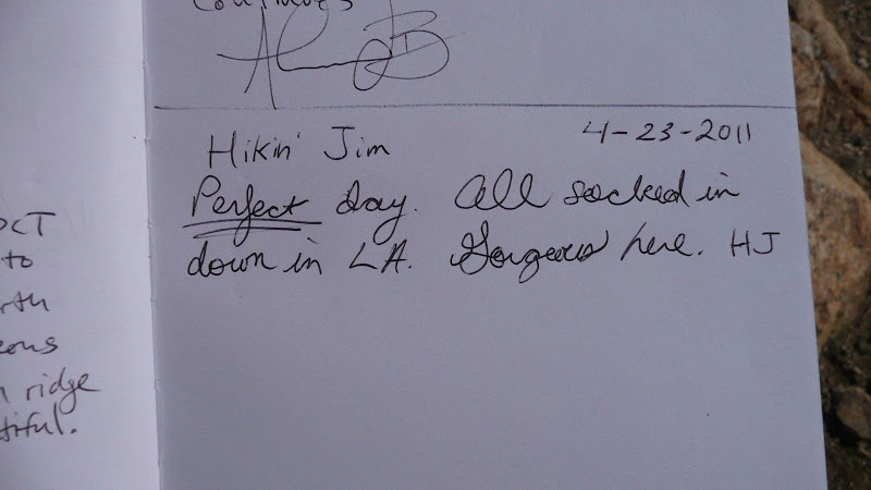
The summit register.
Some guy named "Illusive".
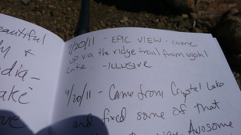
Some guy named "Matt Cav".
Some guy named "Hikin Jim".
We can see all the way to Saddleback Mountain -- in the next county.
Time to melt a little snow and cook up a little lunch.
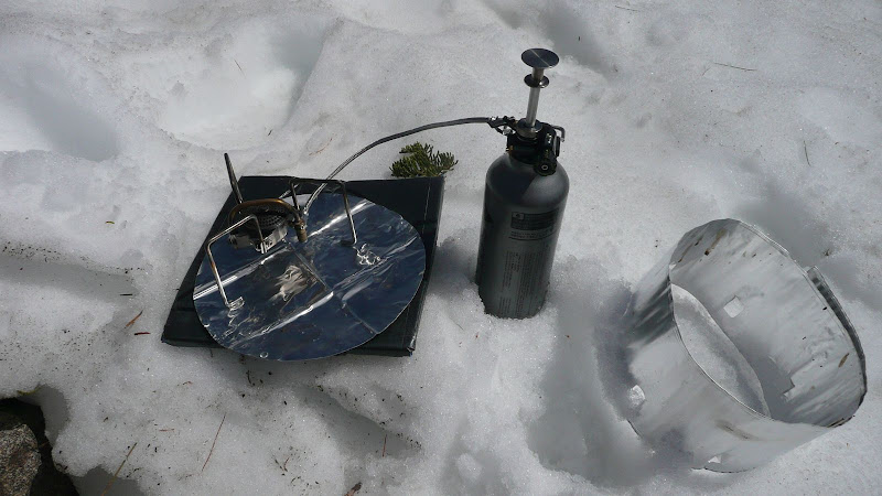
Johnny, a stove video just for you:
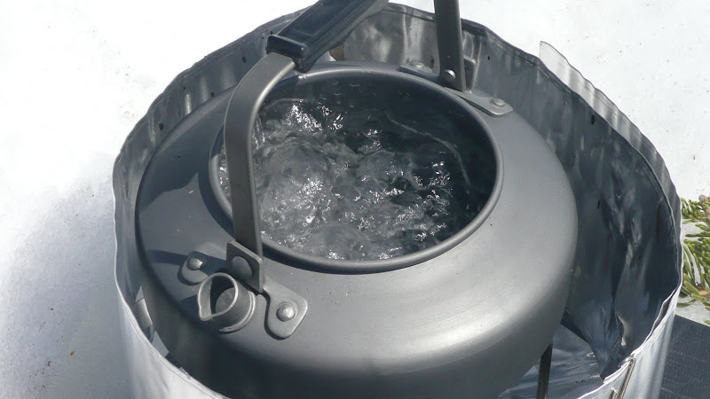
Melted snow.
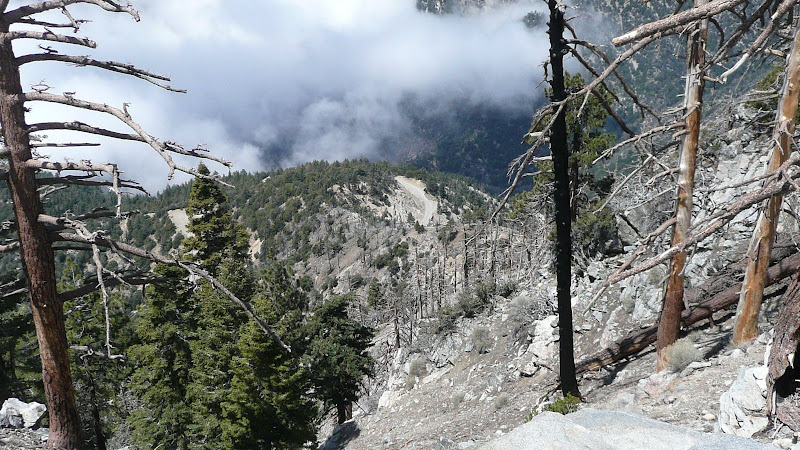
After lunch, we descend. From the SW Ridge (Islip Ridge), we can see the still closed section of Hwy 39 far below. It's a really steep drop down to the highway.
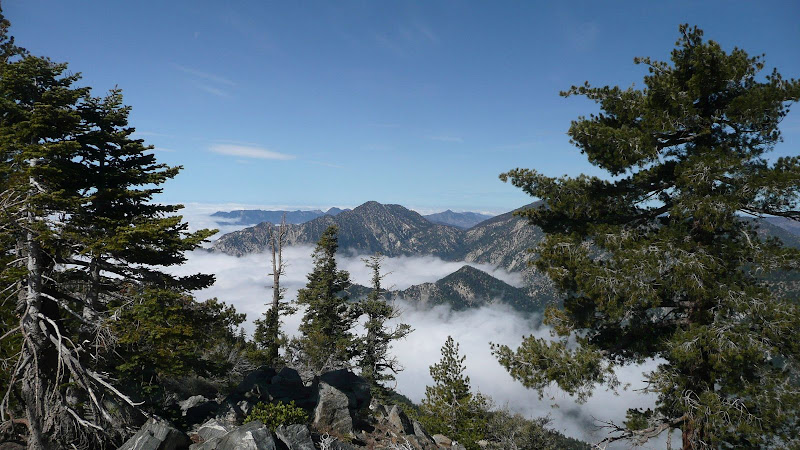
A very photogenic Twin Peaks and Mount Waterman from Islip Ridge.
Triplet Rocks? Not sure. Looks gnarly whatever it is.
The trail gets pretty rough to follow on Islip Ridge. I'm on the trail as I take this photo. The trail goes between the two rocks seen in the middle ground.
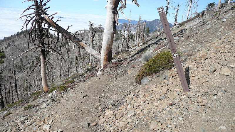
Fortunately, the trail signs are still in place.
This sign unfortunately needs to be rotated 90 degrees to the right in order to be accurate.
Looking down the Big Cienega Trail.
Looking down the Islip Ridge Trail.
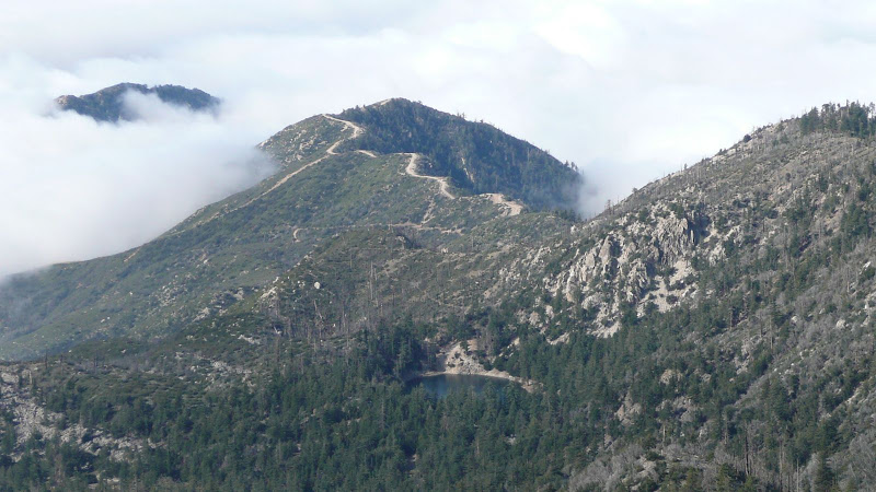
Nearing the end of our hike, we look back up at Islip Ridge.
Thanks for joining me on a little jaunt in the Crystal Lake area.
HJ