Saturday morning, I parked at Vincent Gap and headed down the gulch. I hit the trail around 0710 after the longish haul from Simi Valley. A few hikers were headed up Mount Baden-Powell as I got my gear together. Since I didn't know what to expect from the remaining snow, I opted for crampons. These turned out to be quite unnecessary. The trail down the gulch was in good shape, save for a few trivial deadfall bypasses. I cleared as much debris as I had time, patience and leverage for. There was plenty of water flowing down the guts of the gulch and a few of the normally dry side canyons were flowing as well. The stretch of trail from Vincent/Mine Gulch up to Cabin Flat presents some navigational challenges. It's choked in spots with downed trees and brush. The Prairie Fork is flowing vigorously in spots and a little tricky to get across. It is possible to stay on the north side of the fork and make a single crossing before final crossing at Cabin Flat, though this requires some minor scrambling, and lots of climbing over/under/across dead trees. Sad to say, the largest mammals I saw were squirrels. I did see tons of sheep tracks however.
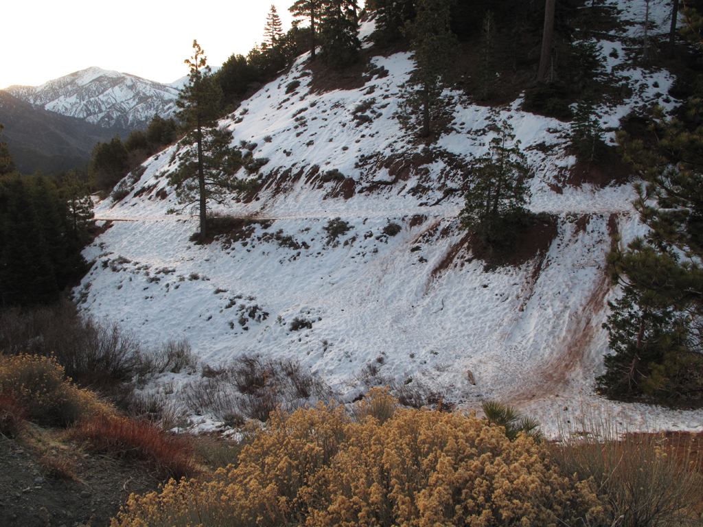
General conditions near the trailhead. I started the morning in crampons, ditching them after around a half-mile.
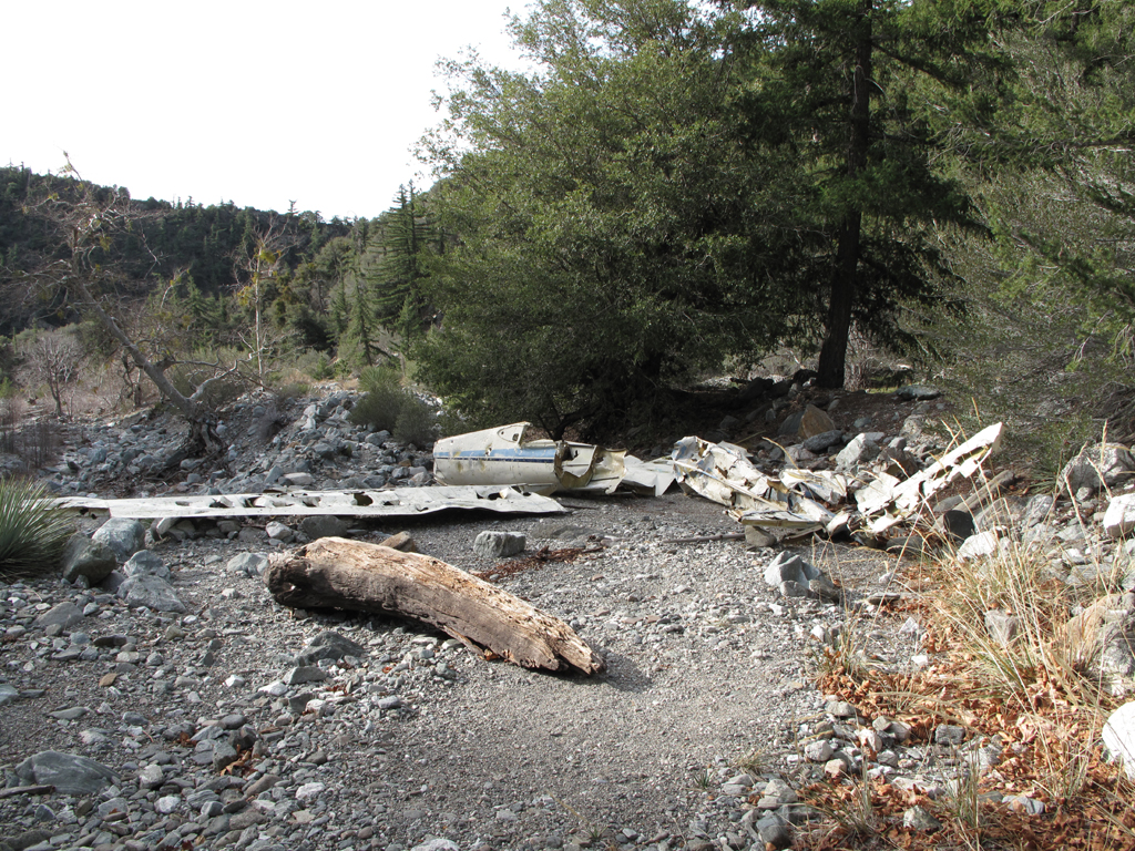
Everybody's favorite wreck, down in Vincent Gulch.
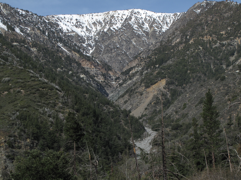
View up Mine Gulch towards Baden-Powell's summit.
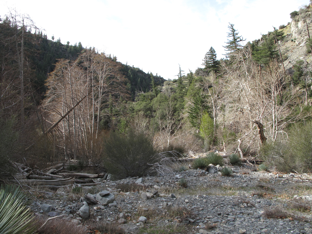
Very typical view of terrain from Vincent Gulch to Cabin Flat, around Prairie Fork.
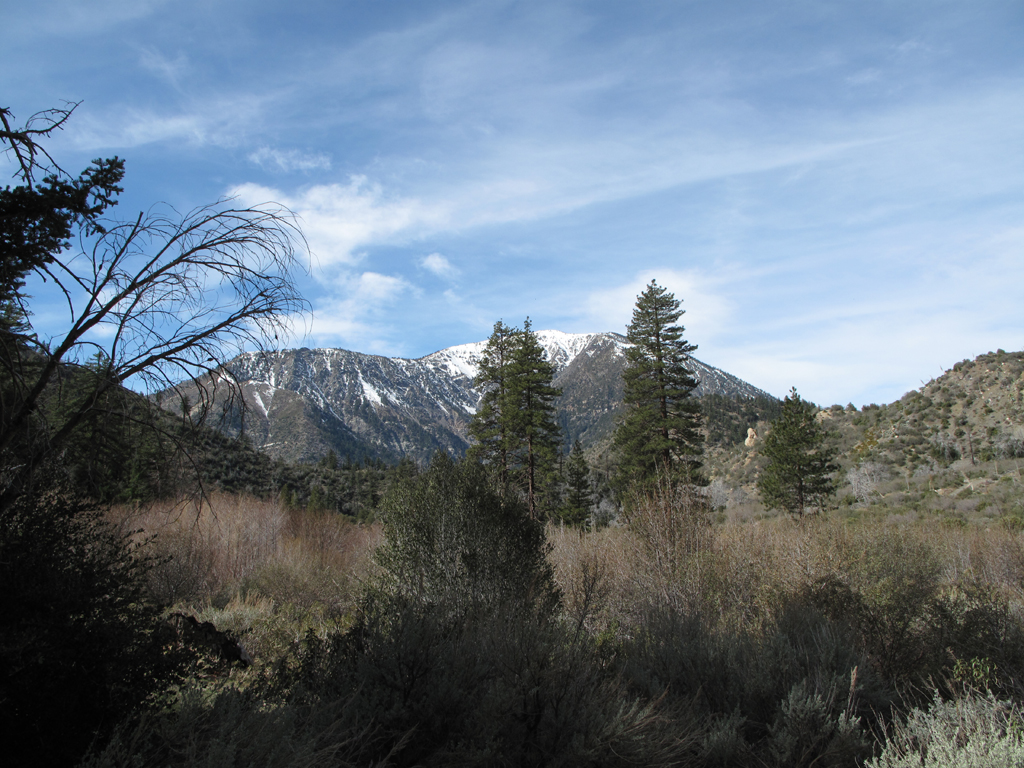
View of Baden-Powell from Cabin Flat.
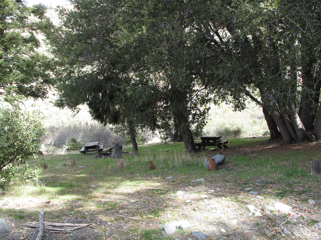
Pleasant spot for a Clif Bar and some dried fruit at Cabin Flat.
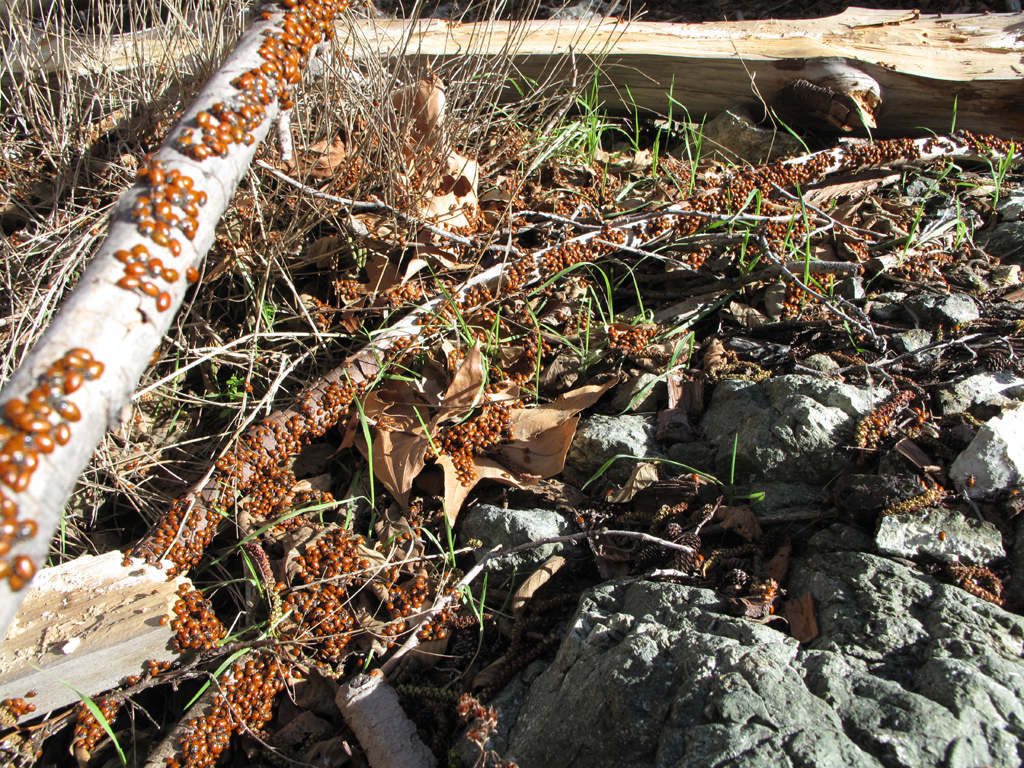
Now I know for certain where where lady bug has been.
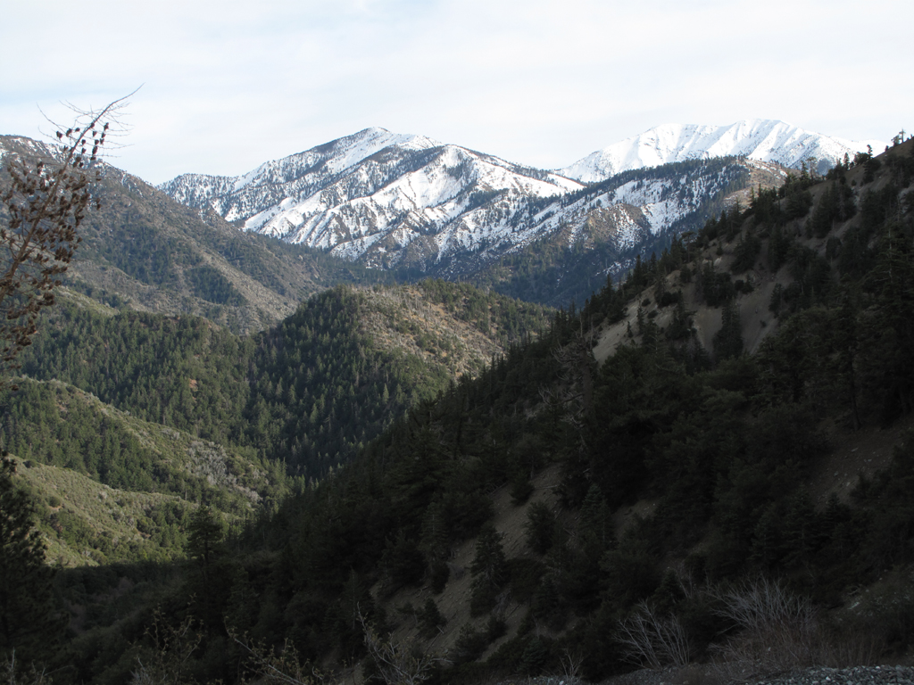
View down Vincent Gulch towards Pine and Mount San Antonio.
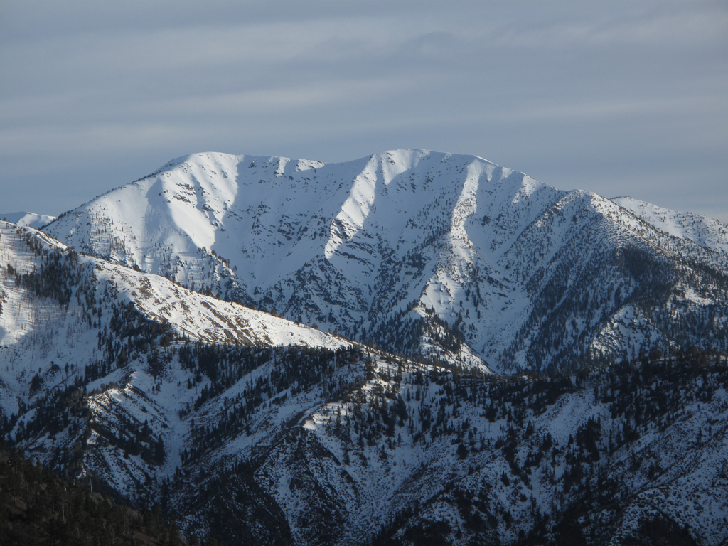
Pine's long ridge and San Antonio.
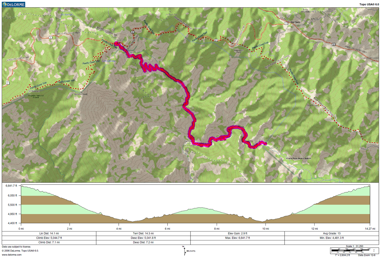
GPS track and elevation plot.


