All was not lost, however, and I was able to get some great pics of waterfalls running at full steam. Several of these falls are ones I've always wanted to descend/canyoneer.
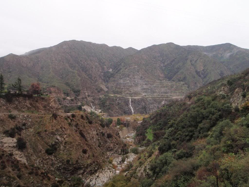
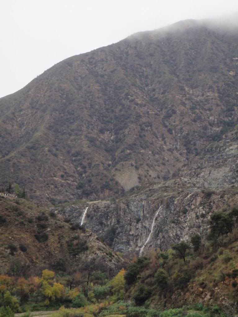
These cascades are west of the San Gabriel Dam, on the west side of R39. You can see them when driving south. I've always wanted to take a picture of them while they were really flowing.
This one comes out of the drainage tunnel that flows under R39, near the aforementioned falls.
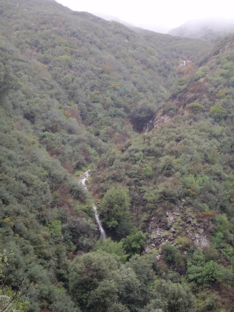
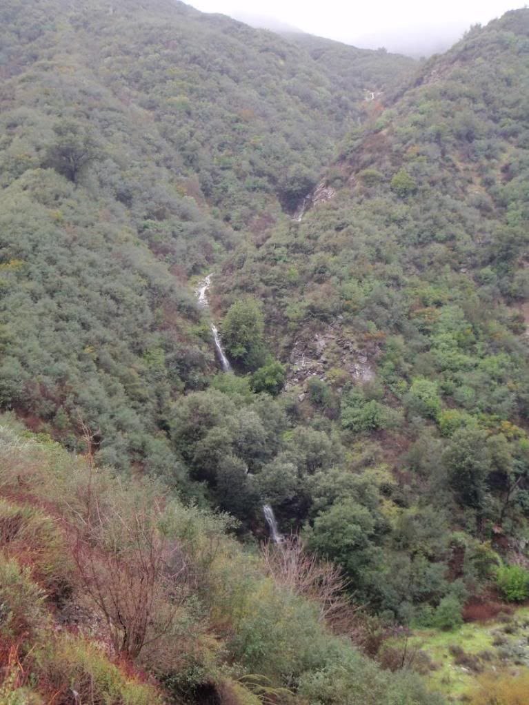
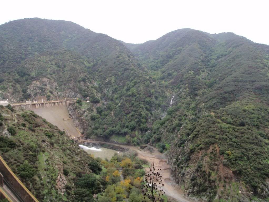
Driving further south, I got really excited when I saw the two falls near San Gabriel Dam flowing. They've always been dry when I've seen them.
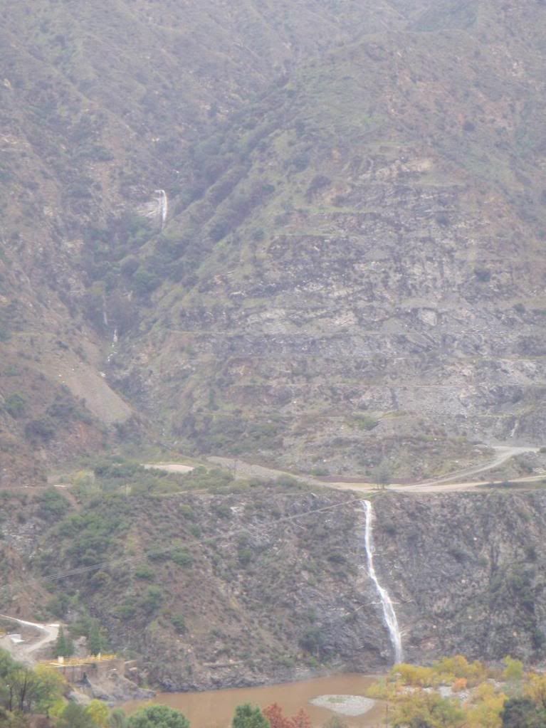
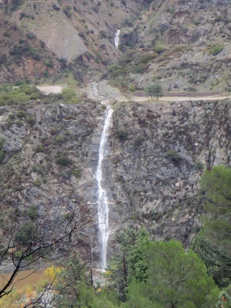
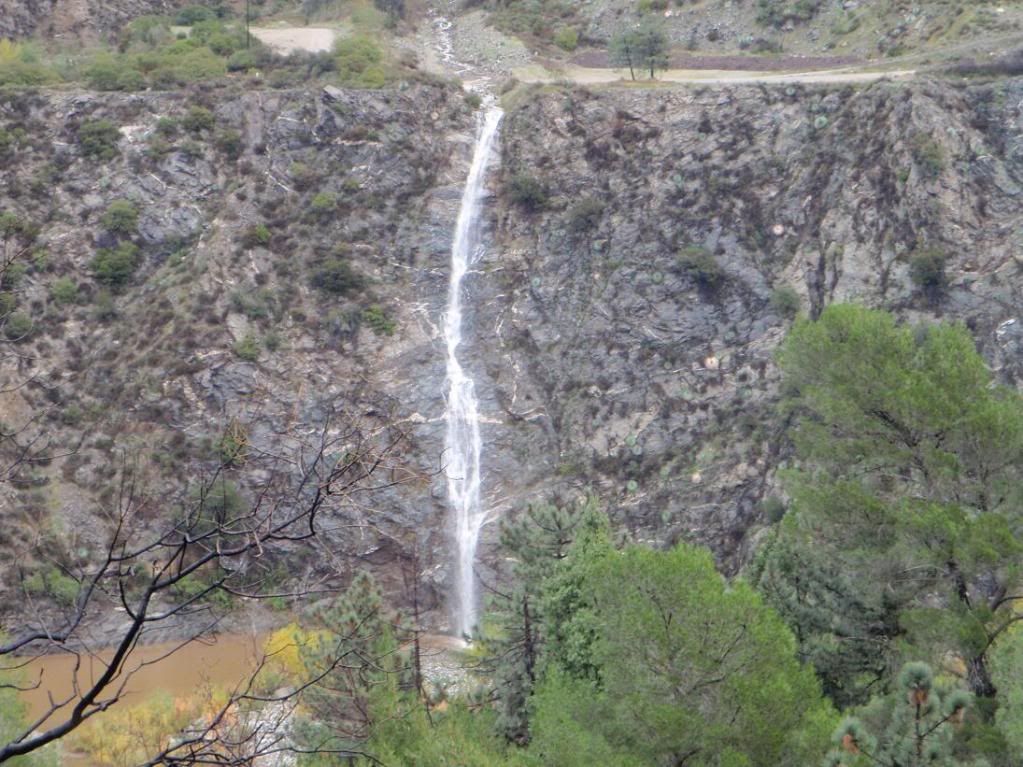
An awesome view of the falls from the south:
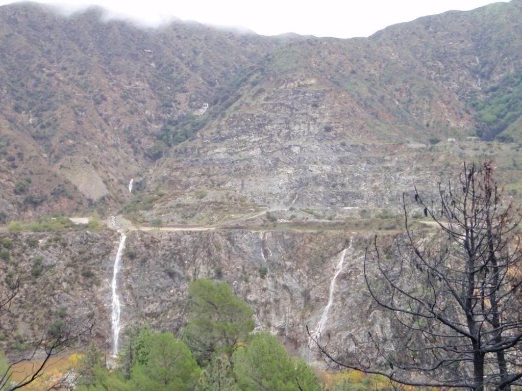
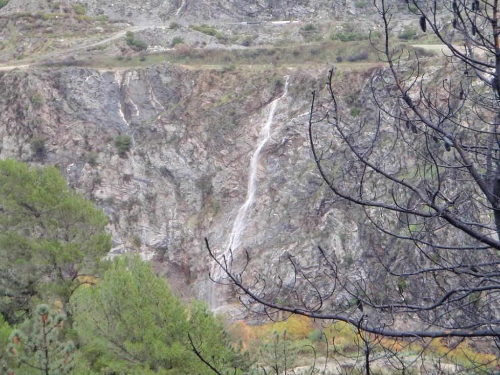
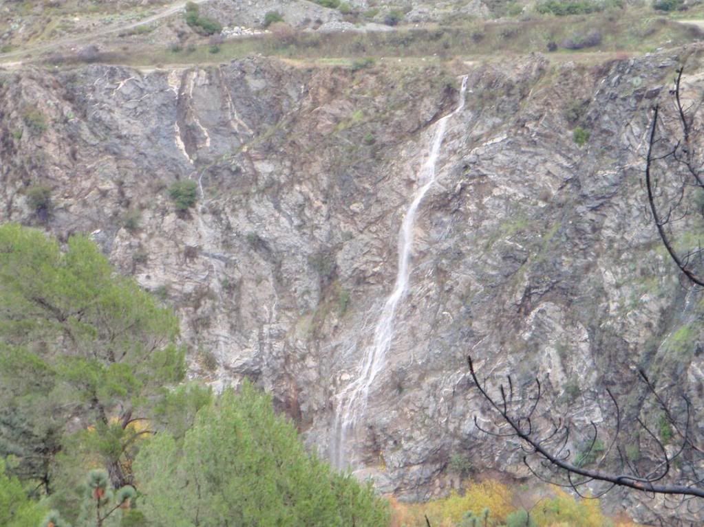
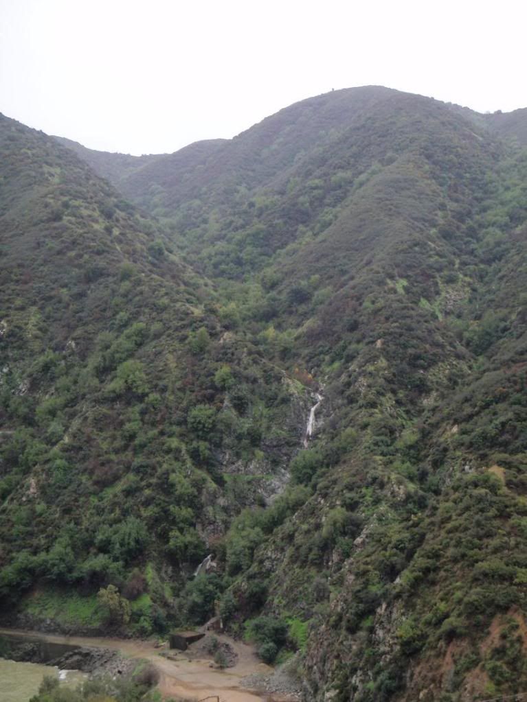
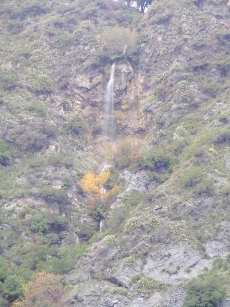
This canyon is right near Morris Dam...
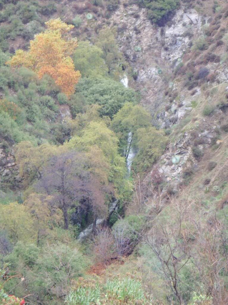
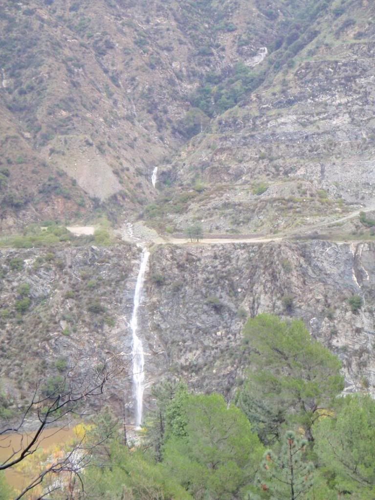
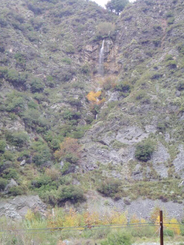
The last one is near the El Encanto Restaurant. It's short, and the dropin for the main falls looks like it would be incredibly inconvenient and unsafe, since there's all that foliage growing ON the dropin.
Does anyone have any info on these canyons? Names, possible descents, etc? I remember asking about the two large ones near the dam a while back. They would be the dog's bollocks to descend, though it would have to be raining a bit for there to be much water.