![Image](https://eispiraten.com/images-archived/www.electricskates.com/Pix/Other10/IMG_5686.jpg)
Mt. Los Piñetos, former NIKE site and LA Fire Camp #9.
![Image](https://eispiraten.com/images-archived/www.electricskates.com/Pix/Other10/IMG_5692.jpg)
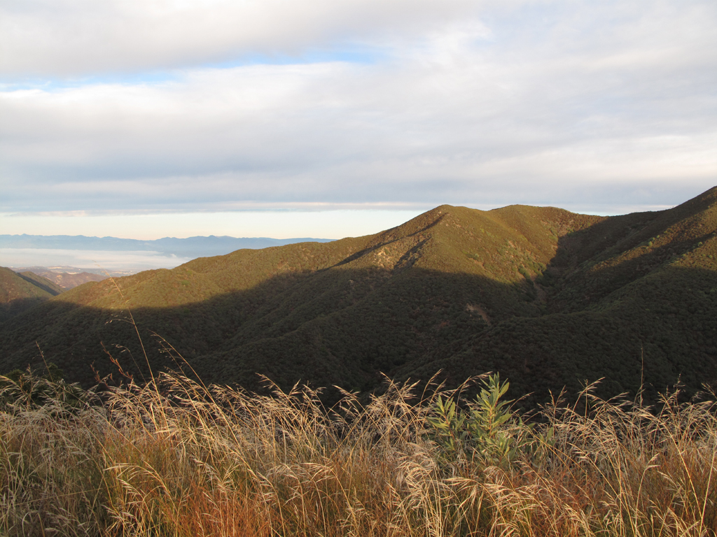
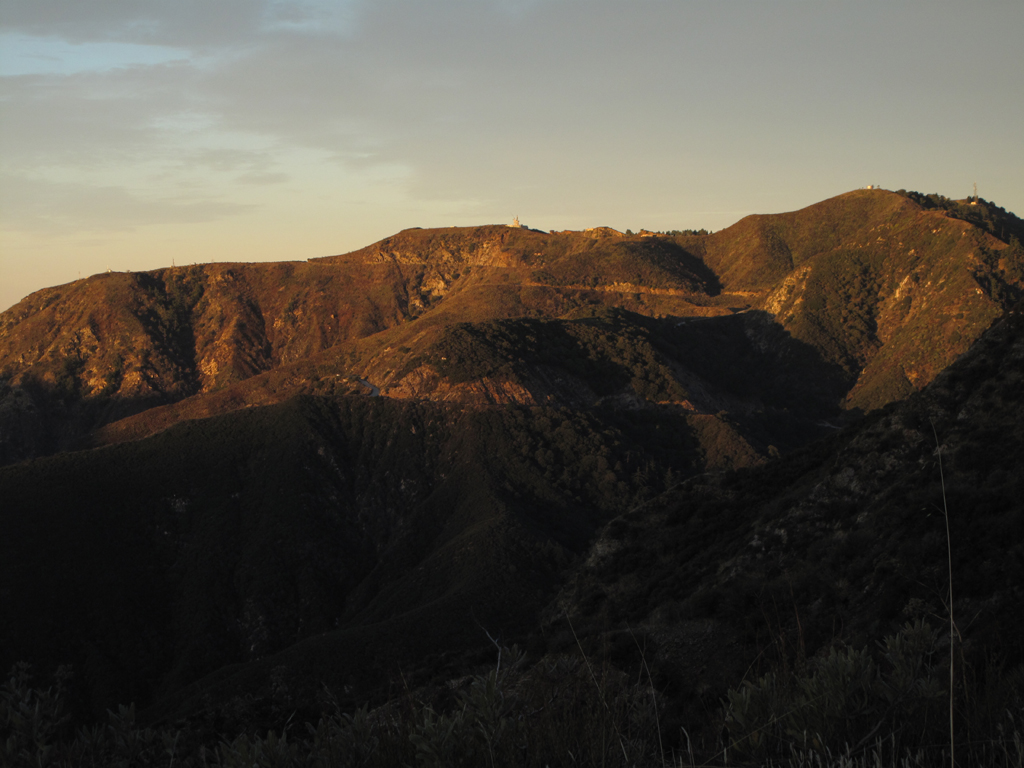
Morning sun lighting up Bear Canyon.
![Image](https://eispiraten.com/images-archived/www.electricskates.com/Pix/Other10/IMG_5713.jpg)
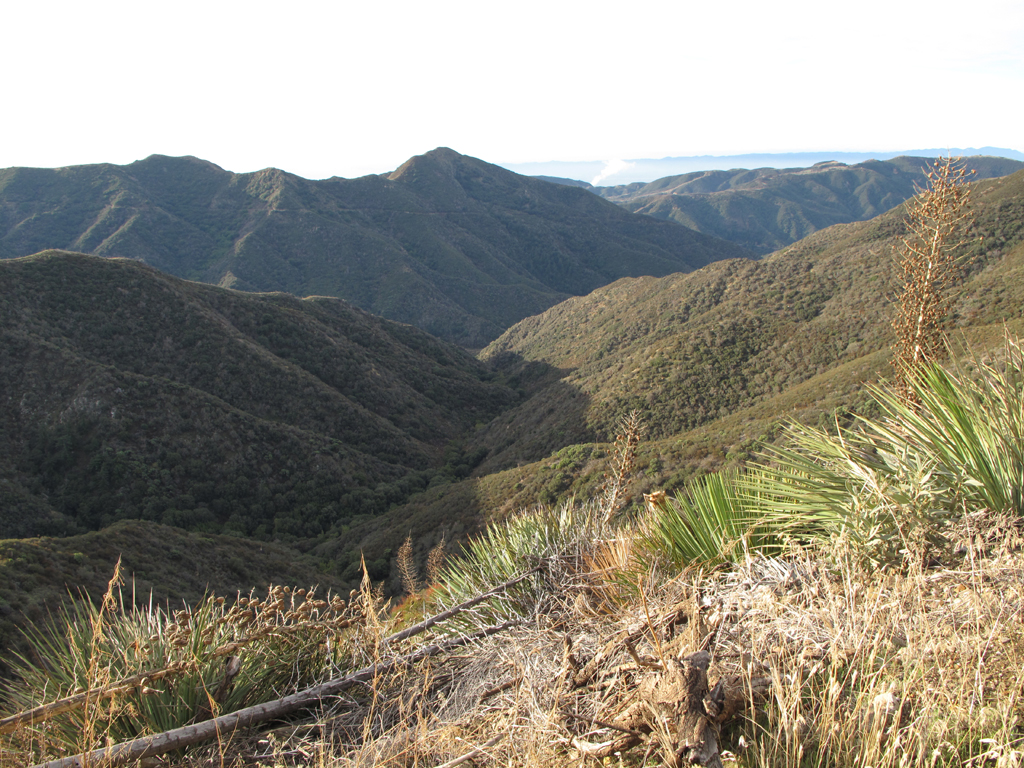
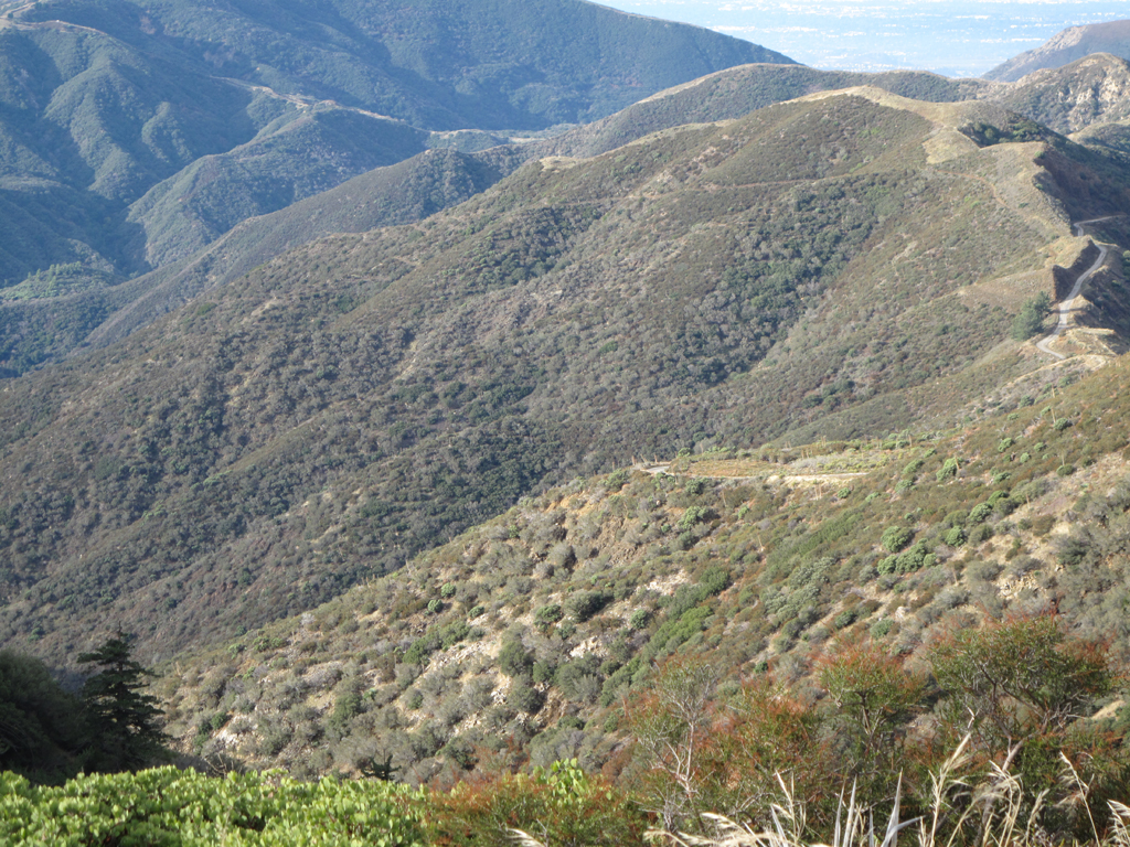
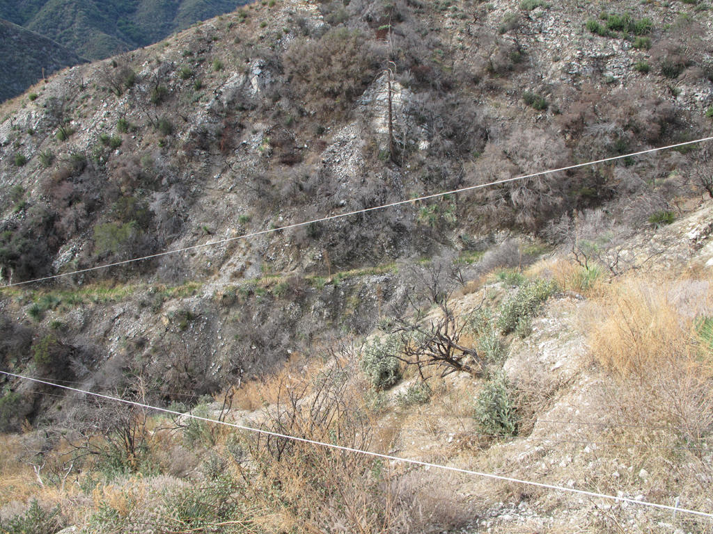
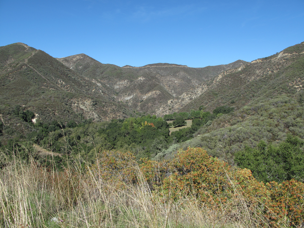
View down Bee Canyon towards 3N32.1 and The Pinnacle.
![Image](https://eispiraten.com/images-archived/www.electricskates.com/Pix/Other10/IMG_5716.jpg)
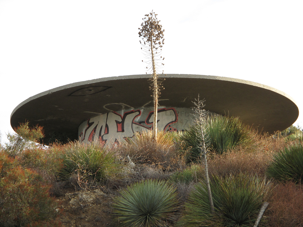
Cistern overlooking Sand Canyon.
![Image](https://eispiraten.com/images-archived/www.electricskates.com/Pix/Other10/IMG_5719.jpg)
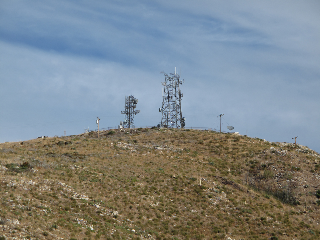
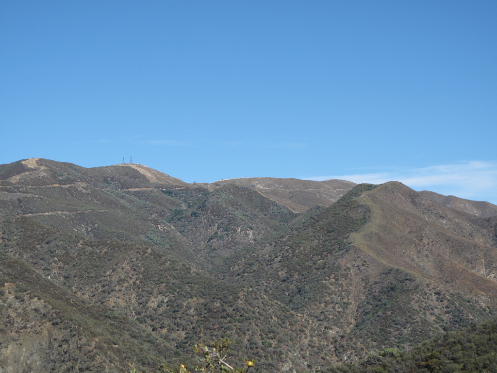
Communications site atop Magic Mountain.
![Image](https://eispiraten.com/images-archived/www.electricskates.com/Pix/Other10/IMG_5722.jpg)
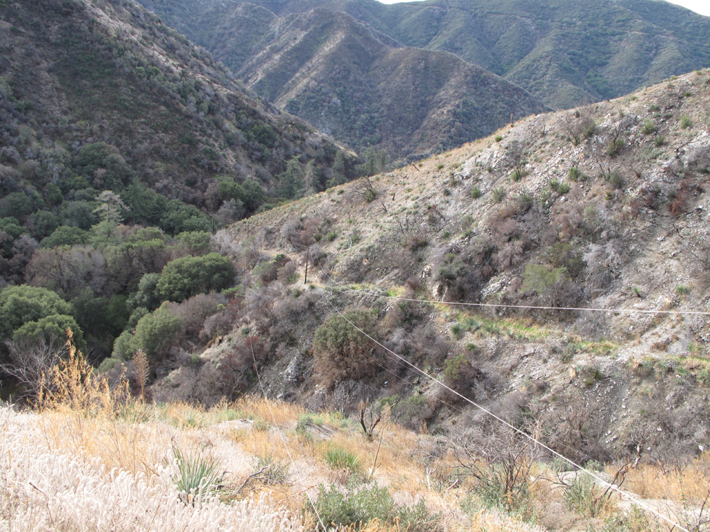
Dagger Flat trail starting down D.F. Canyon.
![Image](https://eispiraten.com/images-archived/www.electricskates.com/Pix/Other10/IMG_5724.jpg)
Old roadbed / Dorothy Canyon Trail, just below Magic Mountain.
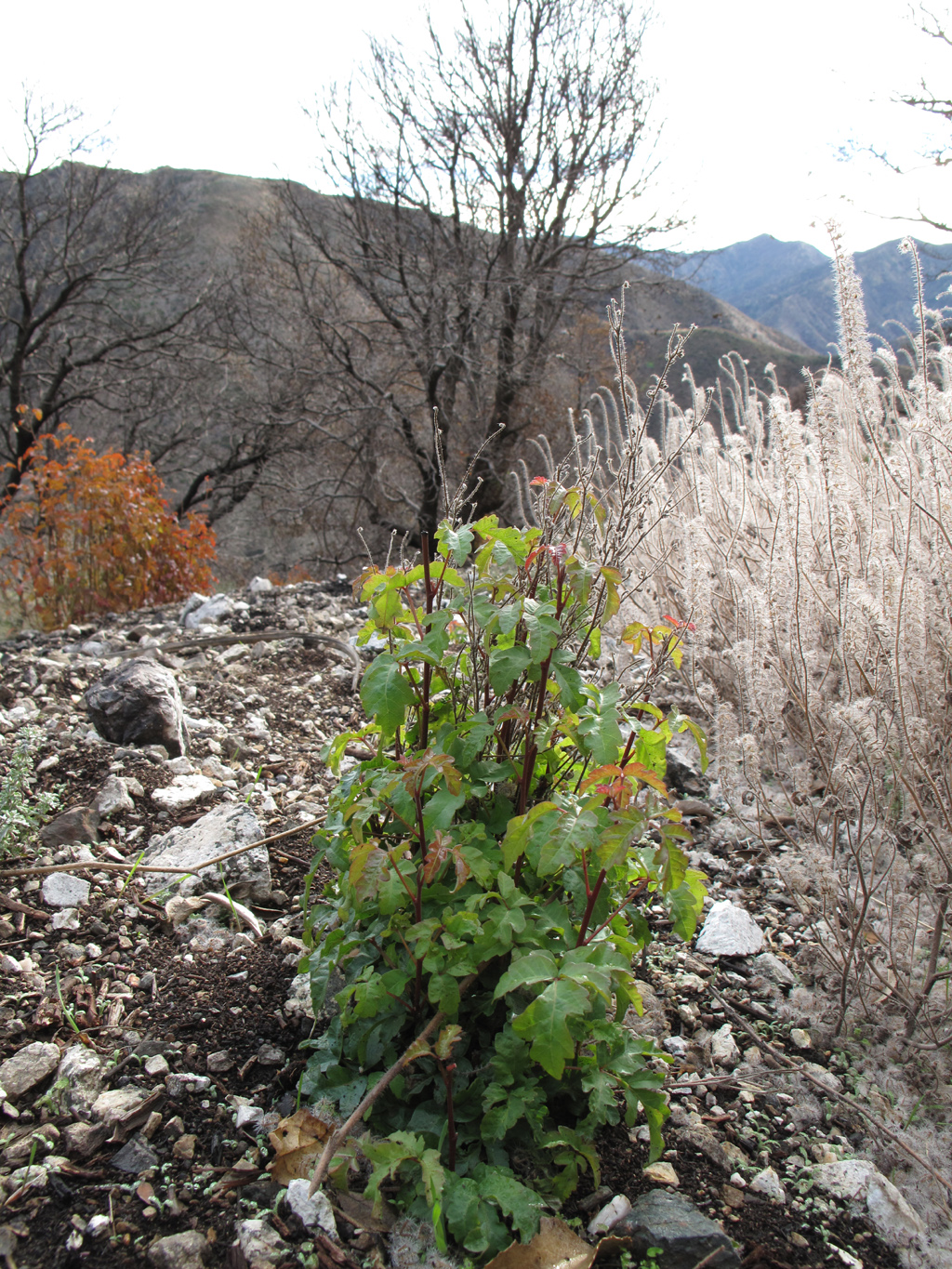
What would wildfire recovery be without this fine species?
![Image](https://eispiraten.com/images-archived/www.electricskates.com/Pix/Other10/IMG_5748.jpg)
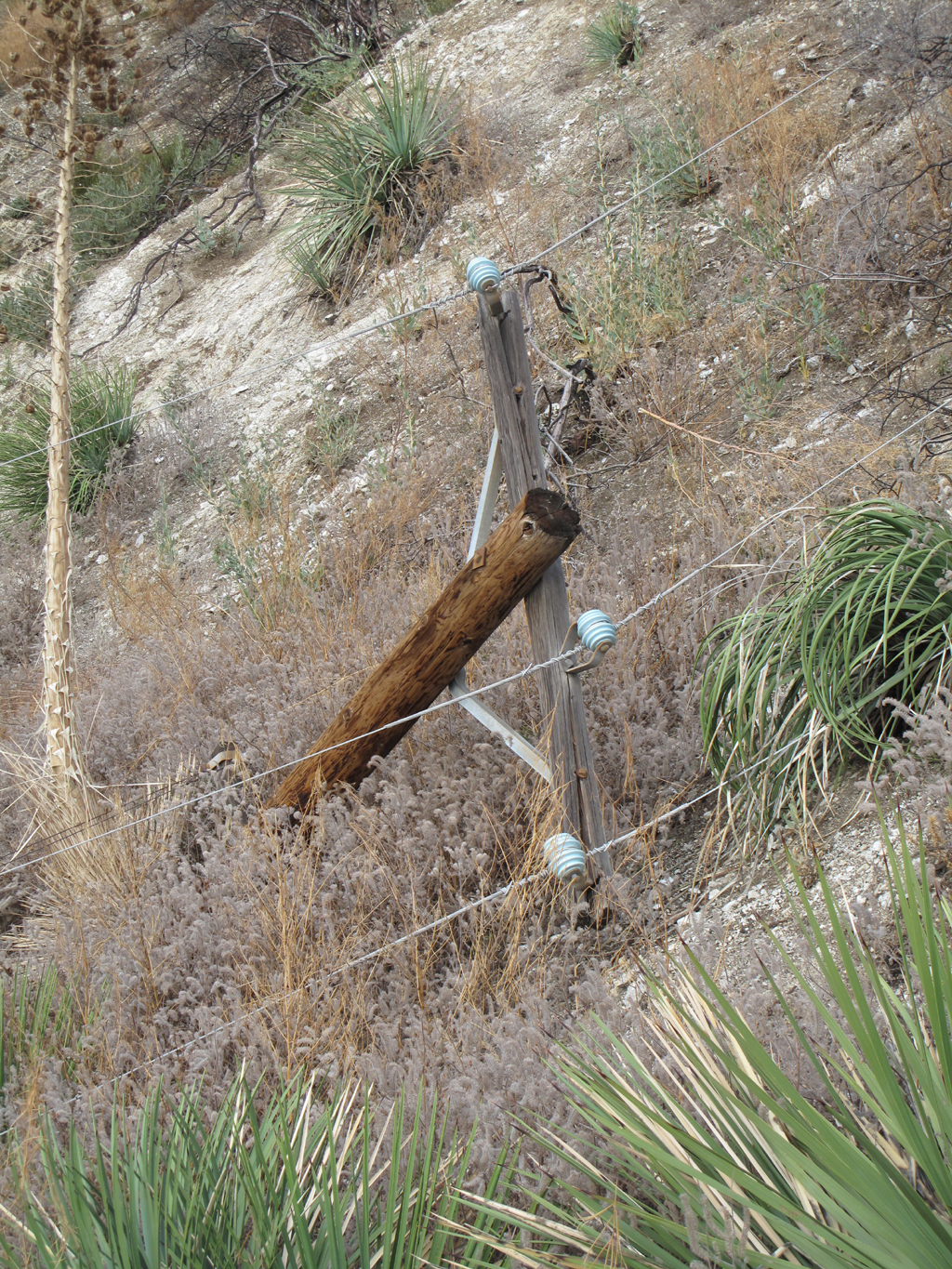
Jake stopped at this downed power pole. He would have had to crawl through the theoretically de-energized lines to proceed to...
![Image](https://eispiraten.com/images-archived/www.electricskates.com/Pix/Other10/IMG_5749.jpg)
Fairly impassable washout of the trail/road. Luckily Jake identified a nearby ridge that reaches the streambed.
![Image](https://eispiraten.com/images-archived/www.electricskates.com/Pix/Other10/IMG_5750.jpg)
The fallen pole pulled the leftmost conductor off the next crossarm, where the road continues.
![Image](https://eispiraten.com/images-archived/www.electricskates.com/Pix/Other10/IMG_5757.jpg)
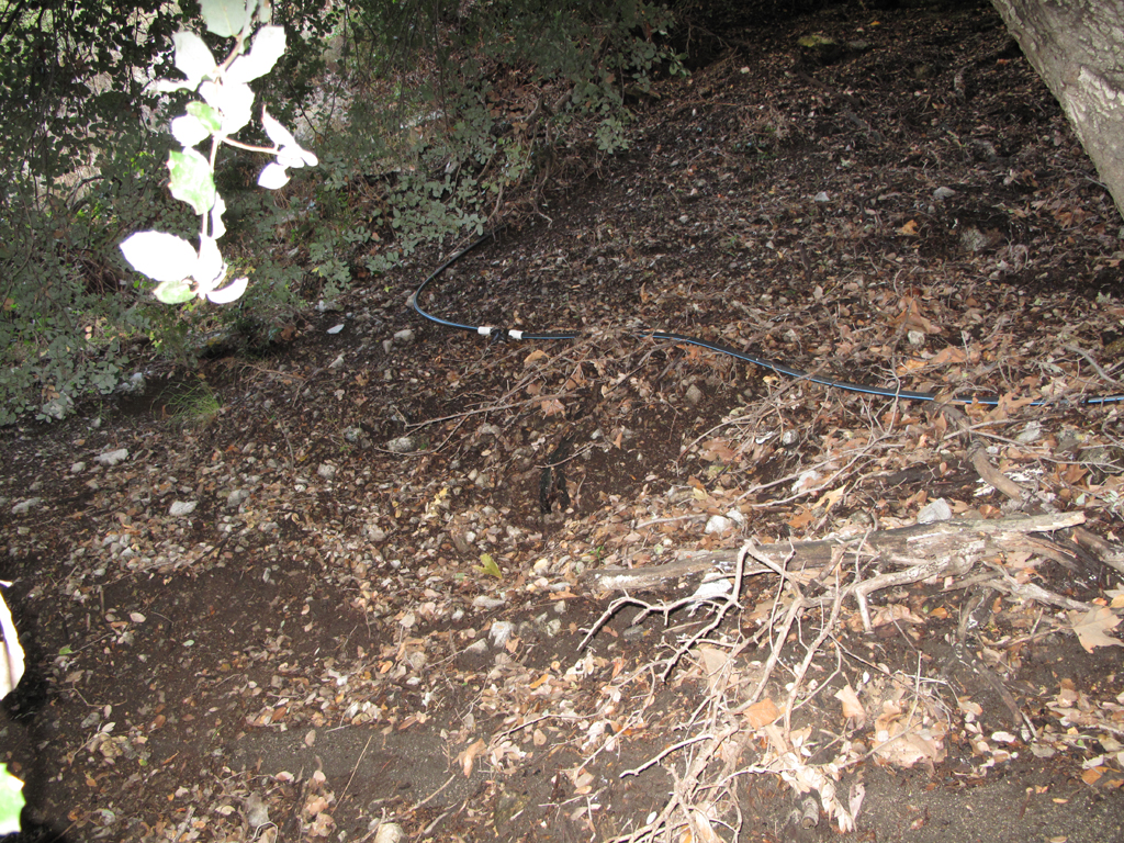
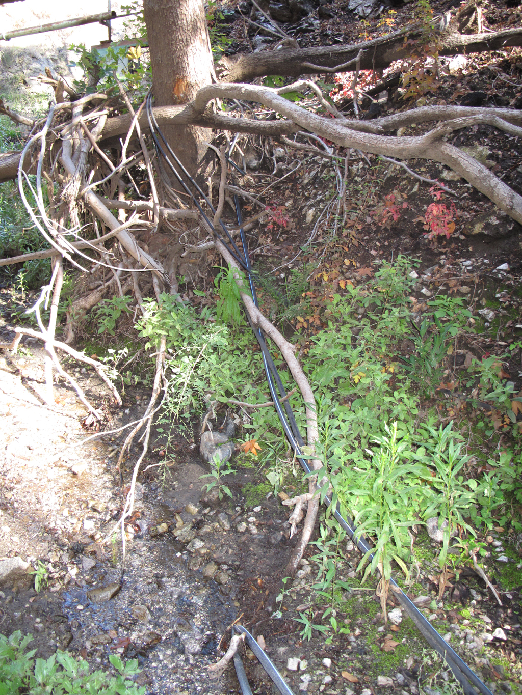
Can't imagine what this irrigation line would be doing at the bottom of an isolated San Gabriel Mountains canyon.
![Evil or Very Mad :evil:](./images/smilies/icon_evil.gif)
![Image](https://eispiraten.com/images-archived/www.electricskates.com/Pix/Other10/IMG_5761.jpg)
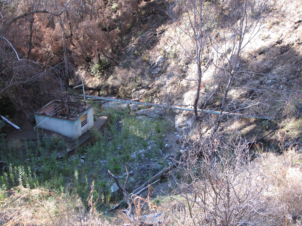
Pumphouse and well. Very badly damaged by fire.
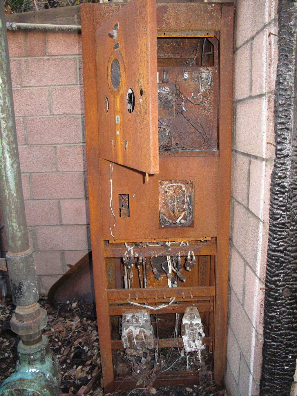
Flame-broiled electrical cabinet in the pumphouse.
It appears that the cultivator's hoses took a hosin' in last winter's flow.
![Image](https://eispiraten.com/images-archived/www.electricskates.com/Pix/Other10/IMG_5780.jpg)
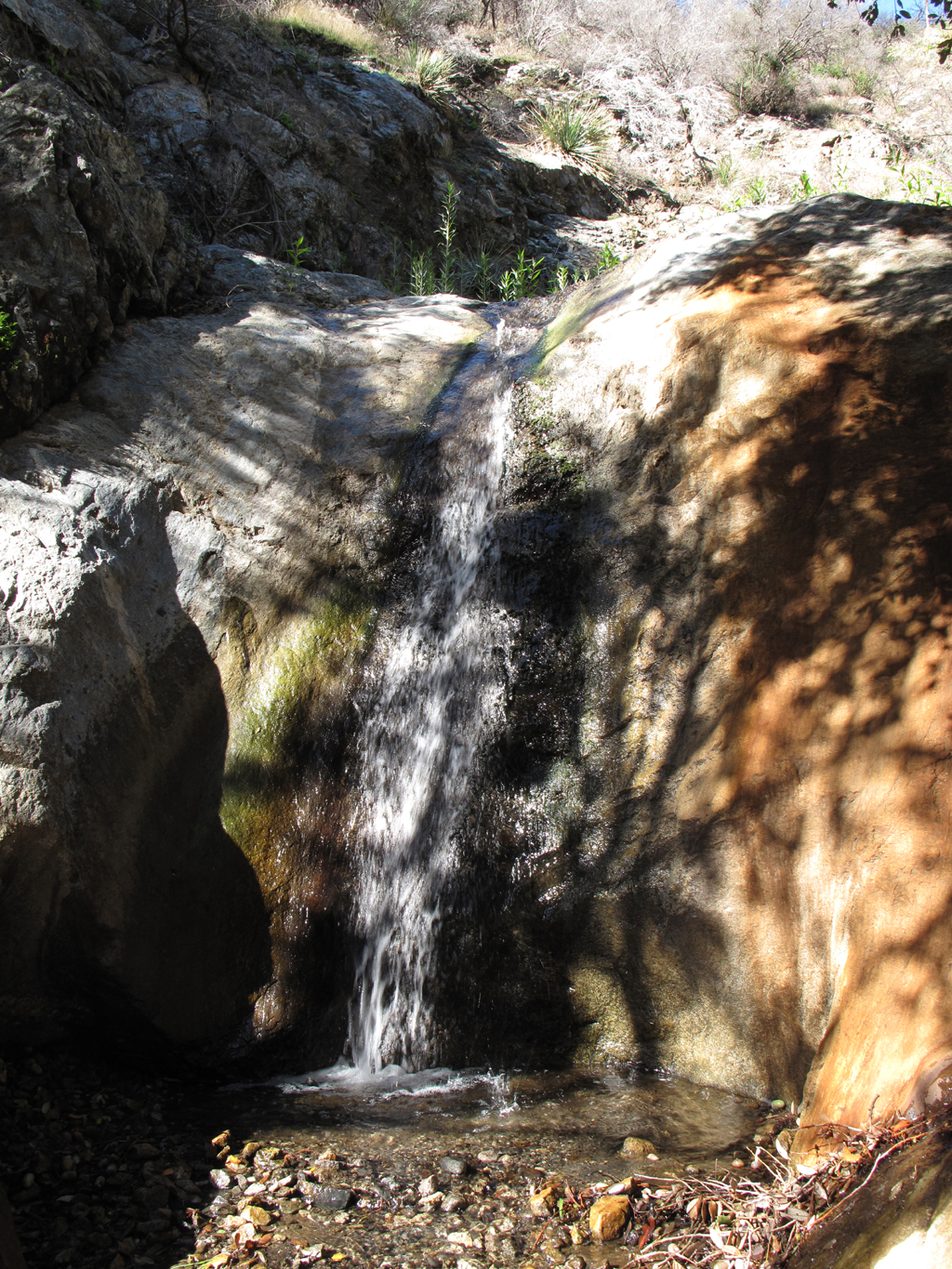
One of several little waterfalls in Dorothy Canyon. Jake says that all can be carefully downclimbed or bypassed.
![Image](https://eispiraten.com/images-archived/www.electricskates.com/Pix/Other10/IMG_5782.jpg)
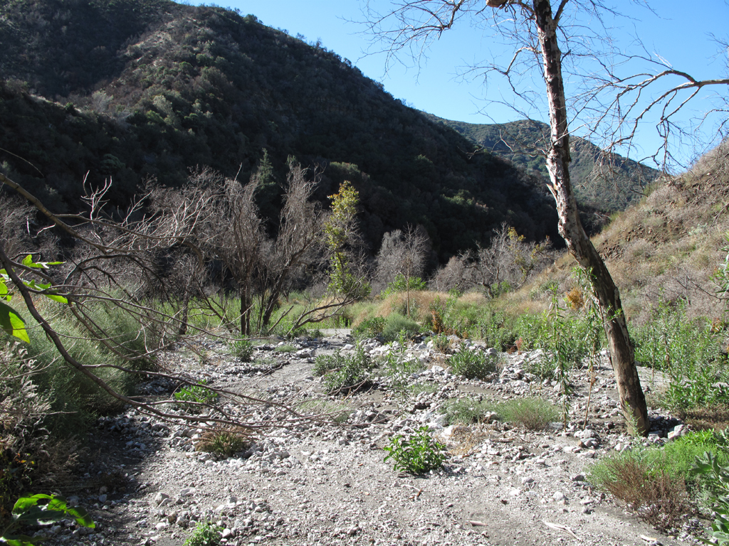
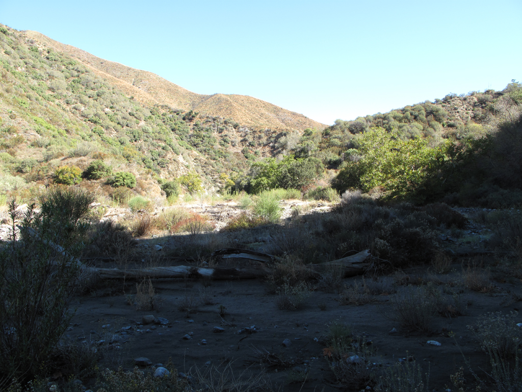
Finally reached the floor of Pacoima Canyon.
![Image](https://eispiraten.com/images-archived/www.electricskates.com/Pix/Other10/IMG_5788.jpg)
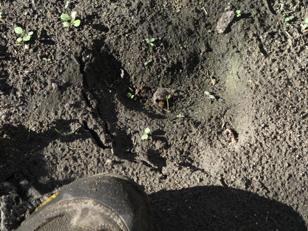
A good-sized and fairly recent ursus americanus print.
![Image](https://eispiraten.com/images-archived/www.electricskates.com/Pix/Other10/IMG_5799.jpg)
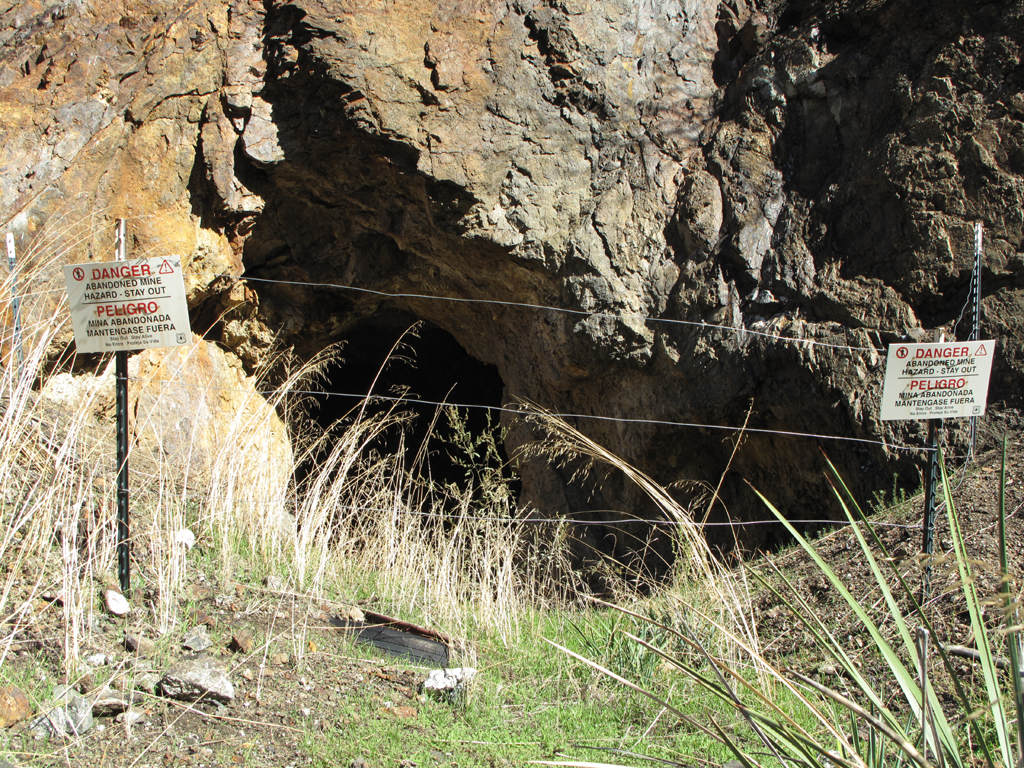
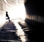
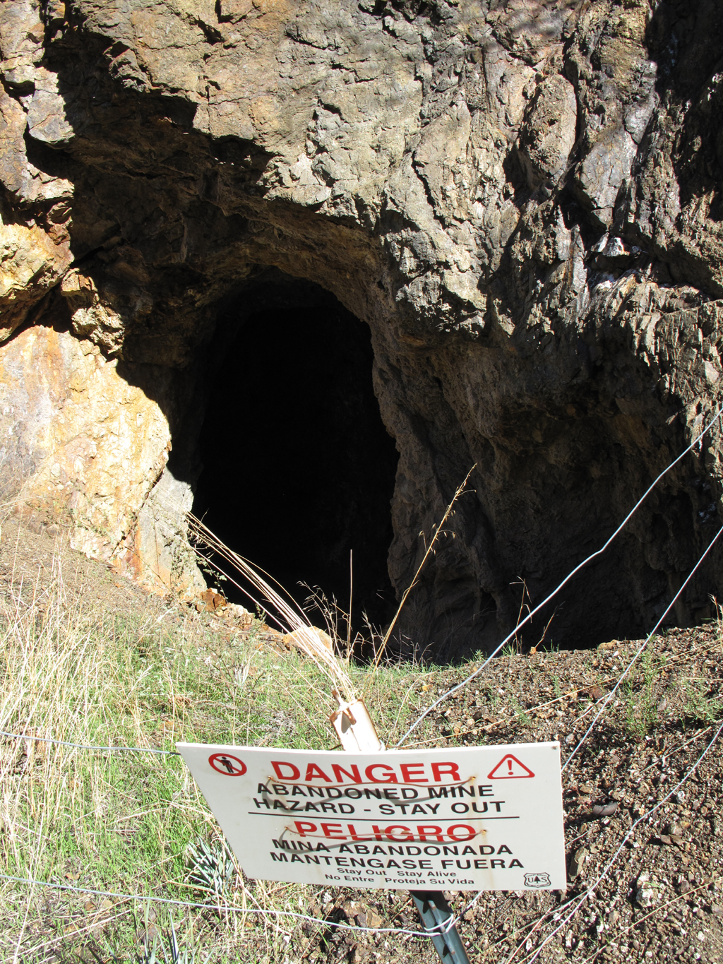
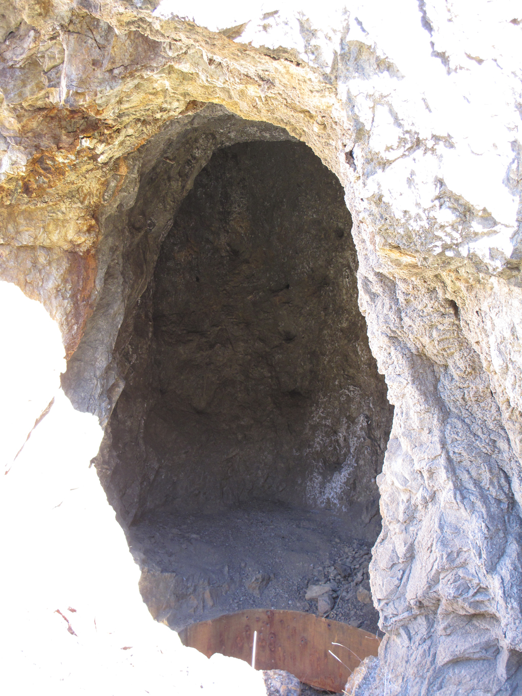
Jake was able to sense the very subtle hint that there might be some danger here. It's near the foot of Laurel Canyon.
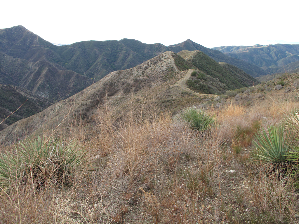
![Image](https://eispiraten.com/images-archived/www.electricskates.com/Pix/Other10/IMG_5810.jpg)
Dagger Flat.
![Image](https://eispiraten.com/images-archived/www.electricskates.com/Pix/Other10/IMG_5814.jpg)
Looking up Dagger Flat Canyon towards Santa Clara Divide Road (3N17.7).
![Image](https://eispiraten.com/images-archived/www.electricskates.com/Pix/Other10/IMG_5816.jpg)
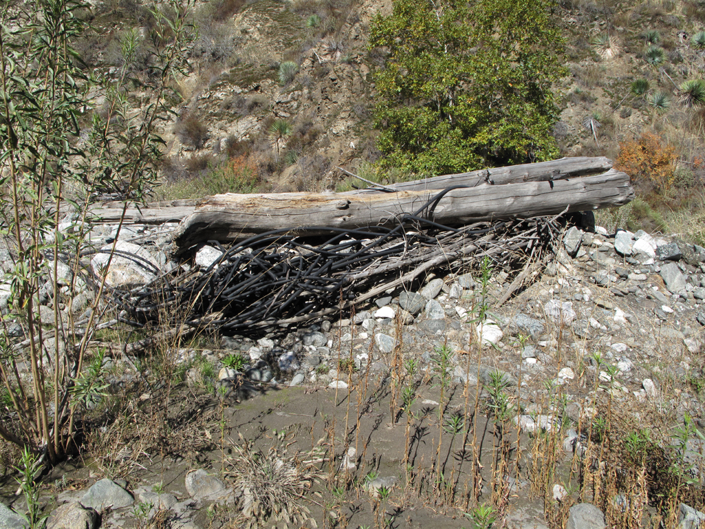
Another knot of hosed hose, washed down Pacoima Canyon.
![Image](https://eispiraten.com/images-archived/www.electricskates.com/Pix/Other10/IMG_5834.jpg)
Jake could barely make out what's left of the lower Dagger Flat Trail as he ascended towards Mendenhall Ridge Road.
![Image](https://eispiraten.com/images-archived/www.electricskates.com/Pix/Other10/IMG_5856.jpg)
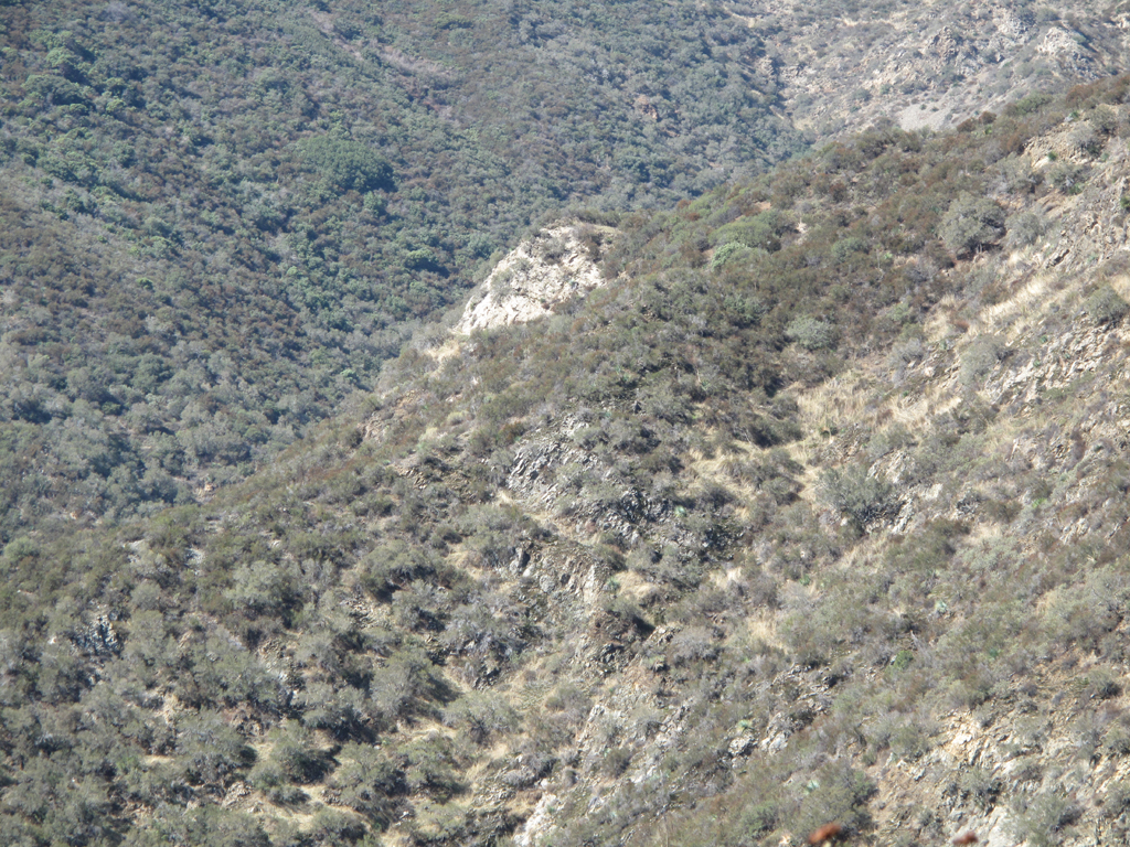
Clear delineation of the Station Fire burn in Pacoima Canyon, below Magic Mountain.
![Image](https://eispiraten.com/images-archived/www.electricskates.com/Pix/Other10/IMG_5871.jpg)
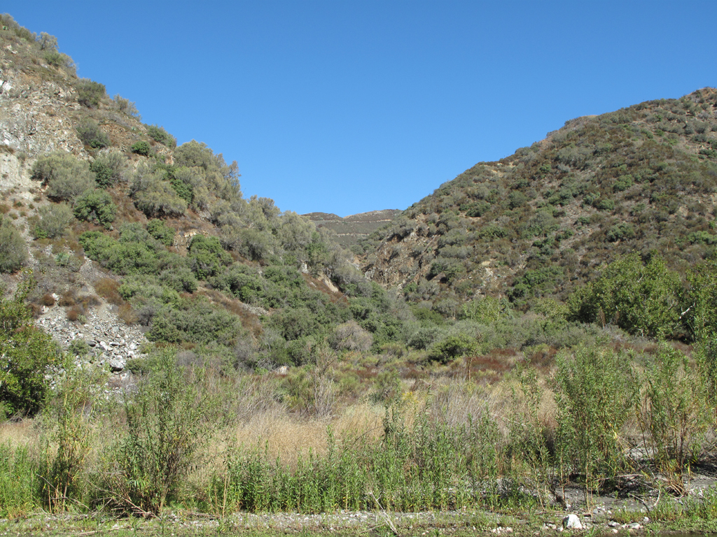
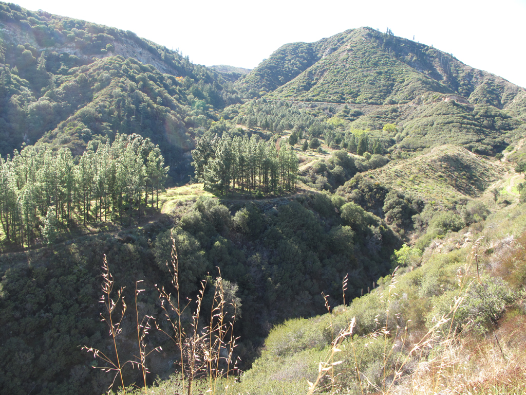
View up Pacoima Canyon, from Little Tujunga Canyon Road.
![Image](https://eispiraten.com/images-archived/www.electricskates.com/Pix/Other10/IMG_5882.jpg)
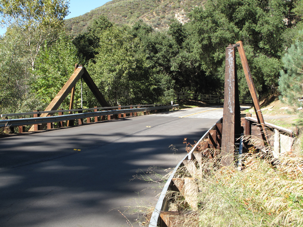
"Timber" bridge carries Little Tujunga Canyon Road over Pacoima Canyon.
![Image](https://eispiraten.com/images-archived/www.electricskates.com/Pix/Other10/IMG_5903.jpg)
Interesting tree grove past the interpretive trail near the Bear Divide Ranger Station.
![Image](https://eispiraten.com/images-archived/www.electricskates.com/Pix/Other10/IMG_5905.jpg)
Jake took this picture as he neared Bear Divide Pic-a-nic Area, where he parked MY jeep.
![Image](https://eispiraten.com/images-archived/www.electricskates.com/Pix/Other10/Pacoima.jpg)
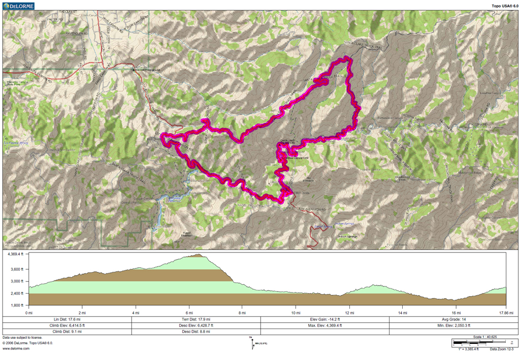
GPS track and elevation plot.