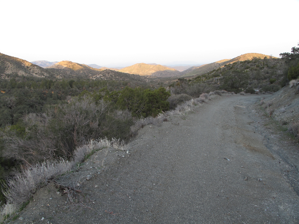
The view towards County Route N3 from Forest Service Road 4N20.
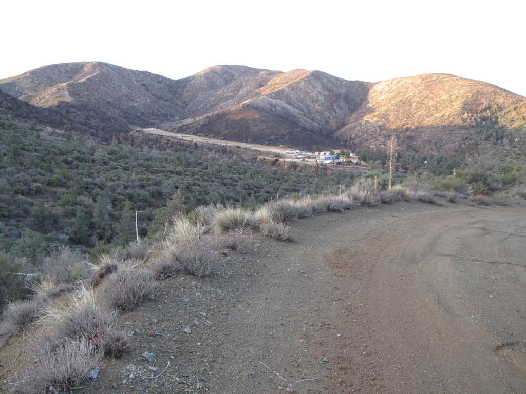
Desert Marksman R&PC. Very cool looking range.
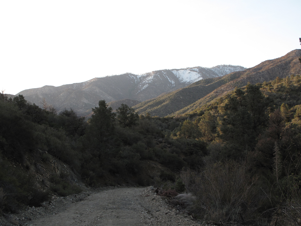
One of the ridges descending from Pacifico's summit, as seen from 4N20.
Santiago Canyon creek, flowing towards Little Rock.
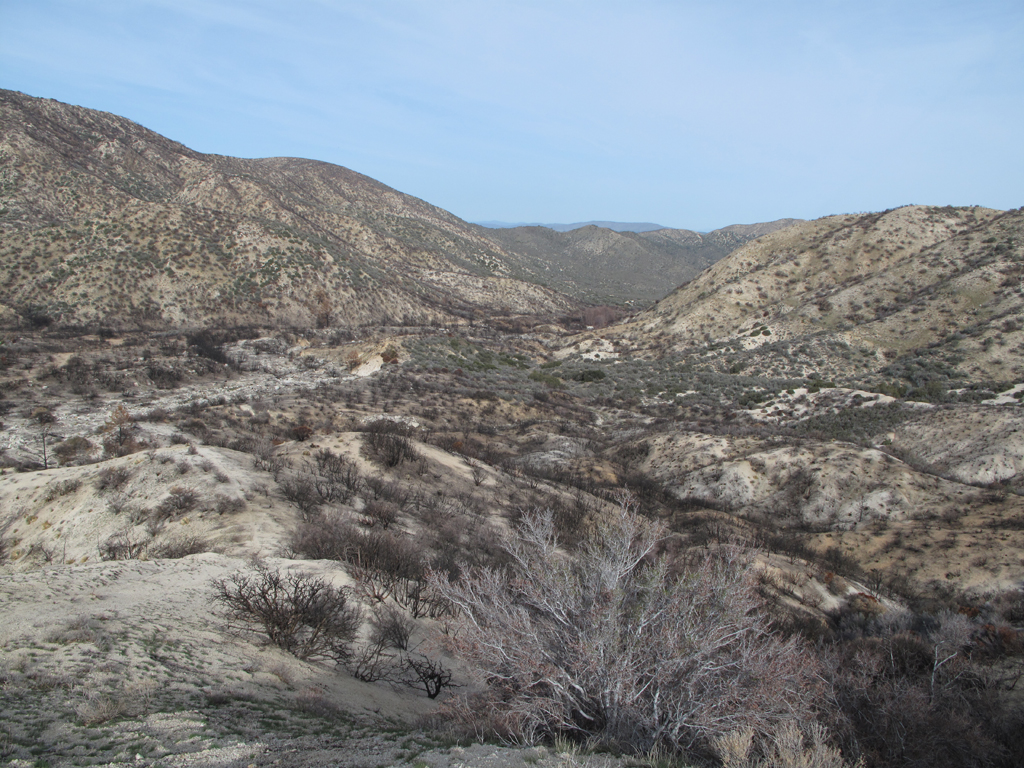
View down Santiago Canyon from a spot past roads-end. Note fire damage adjacent to 4N20.
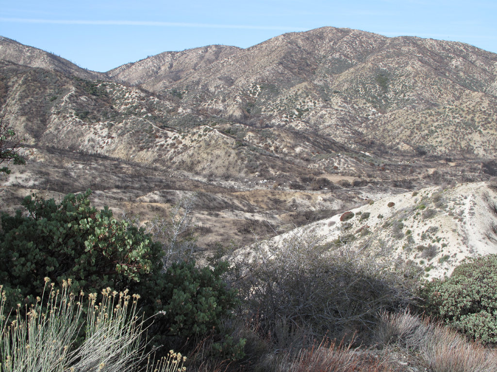
Ascending ridge above picture center carries the "trail" indicated on USGS topo map of the area.
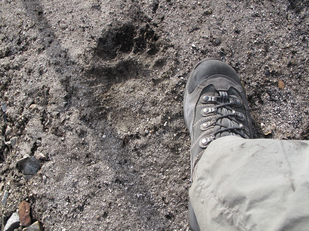
One of the biggest ursus americanus tracks that I've seen to date. It's unsmeared and the back of the heel is adjacent to the third set of eyelets on the boot. Would've loved to have seen this bear. If I was there, of course.
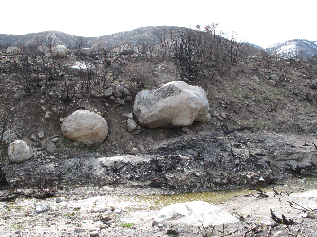
It's difficult to see in the picture how far this big boulder is protruding, and how precarious it is.
Burned manzanita stand, up Santiago Canyon.
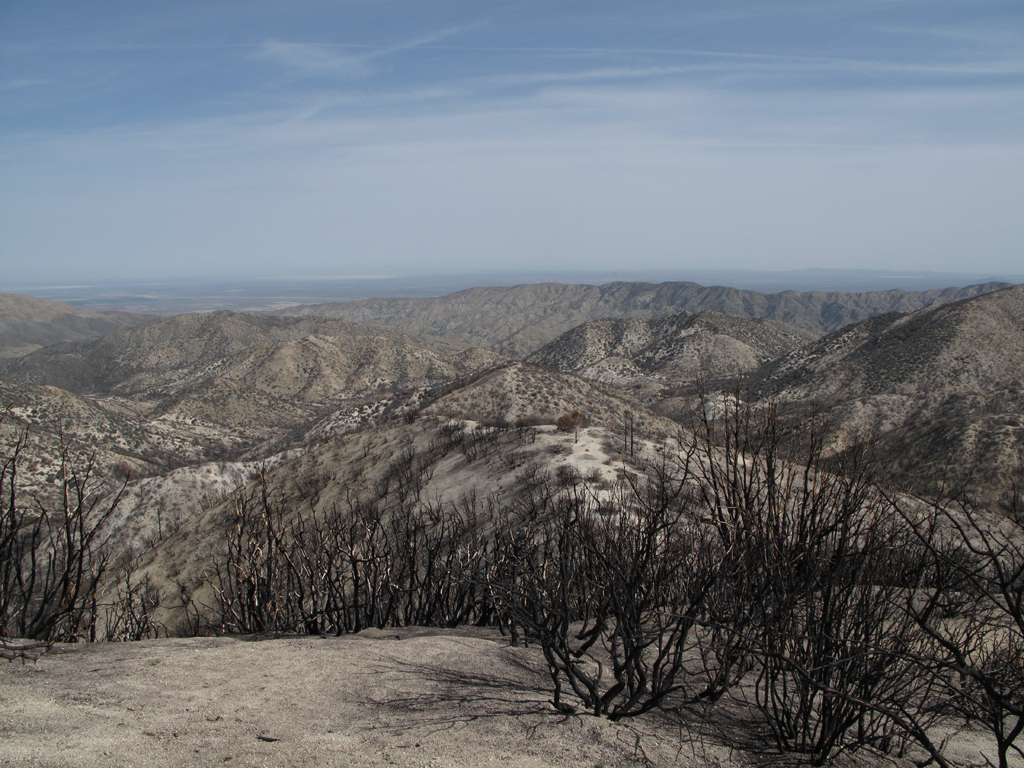
Looking towards Palmdale, over the western section of Pleasant View Ridge.
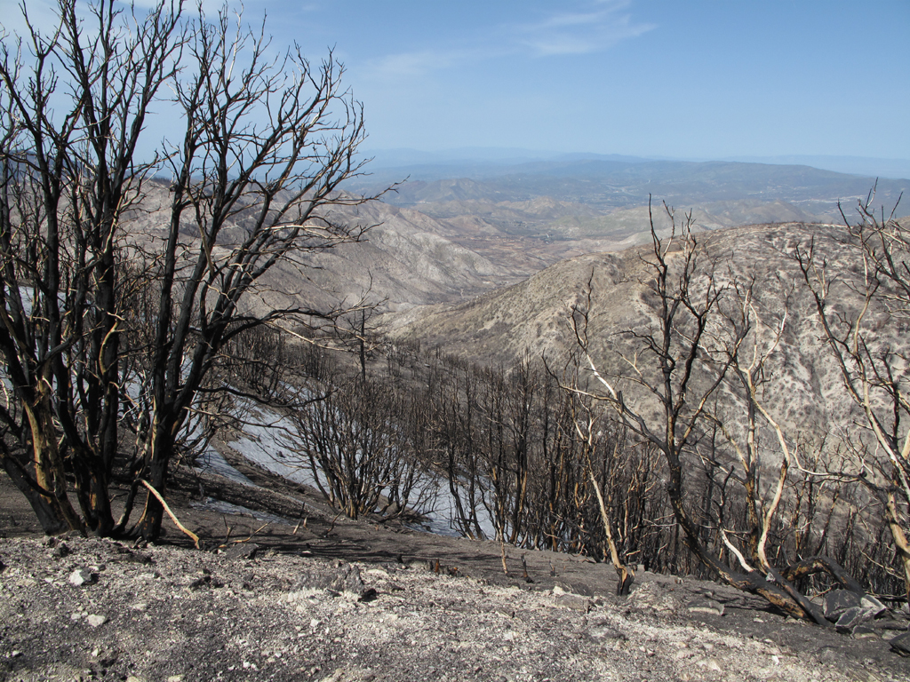
Looking back towards Acton. That's Highway 14 way back in the distance.
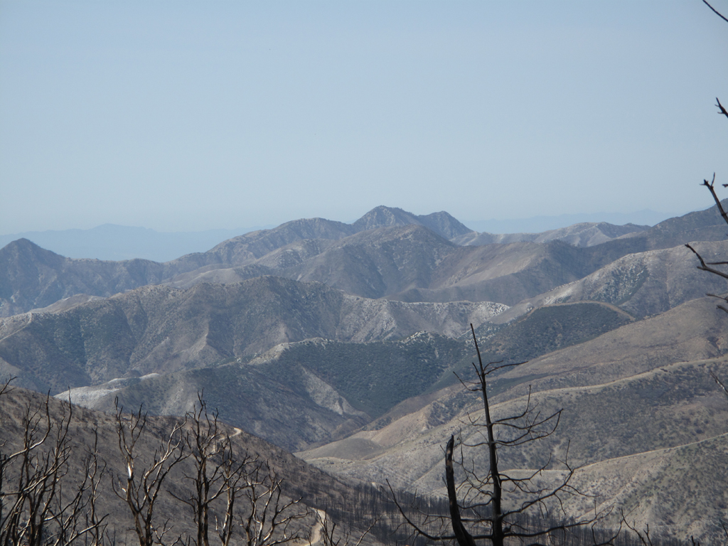
Strawberry, Josephine and the intervening hillsides.
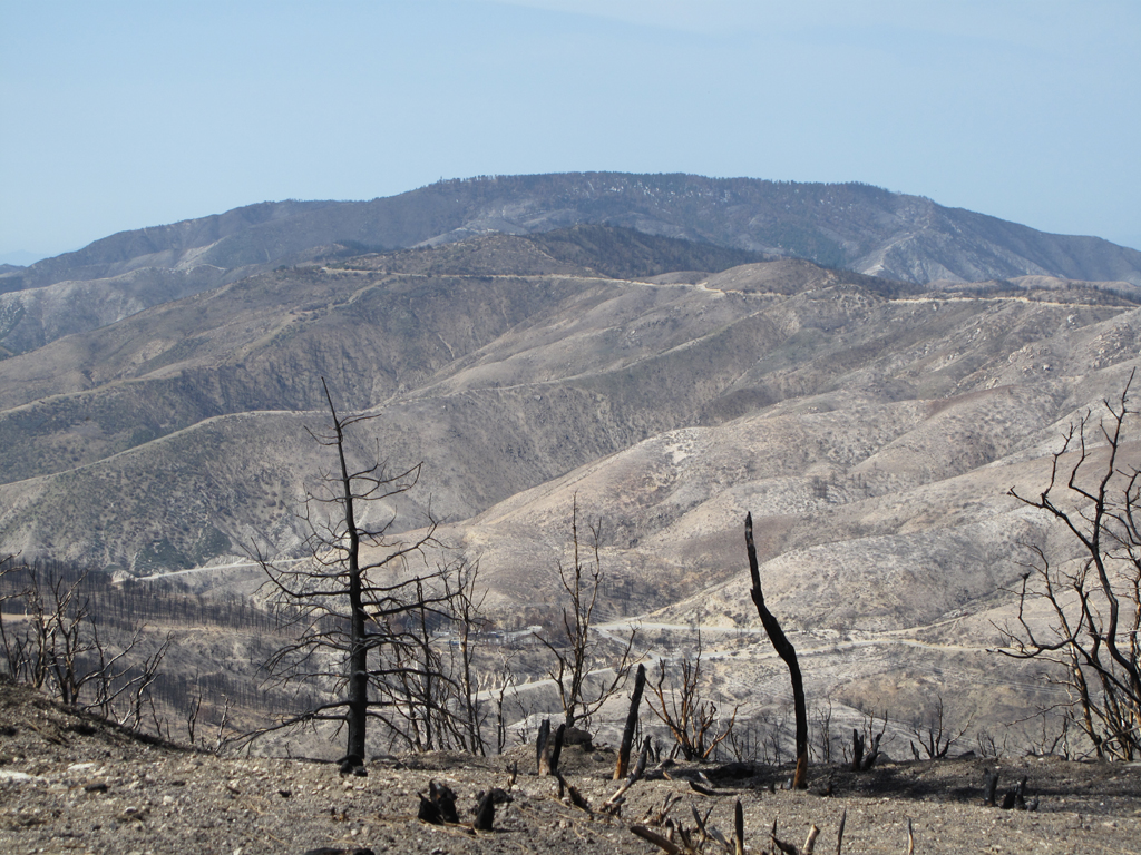
Mount Gleason hogback, Road, and the hillsides west of Mill Creek Summit.
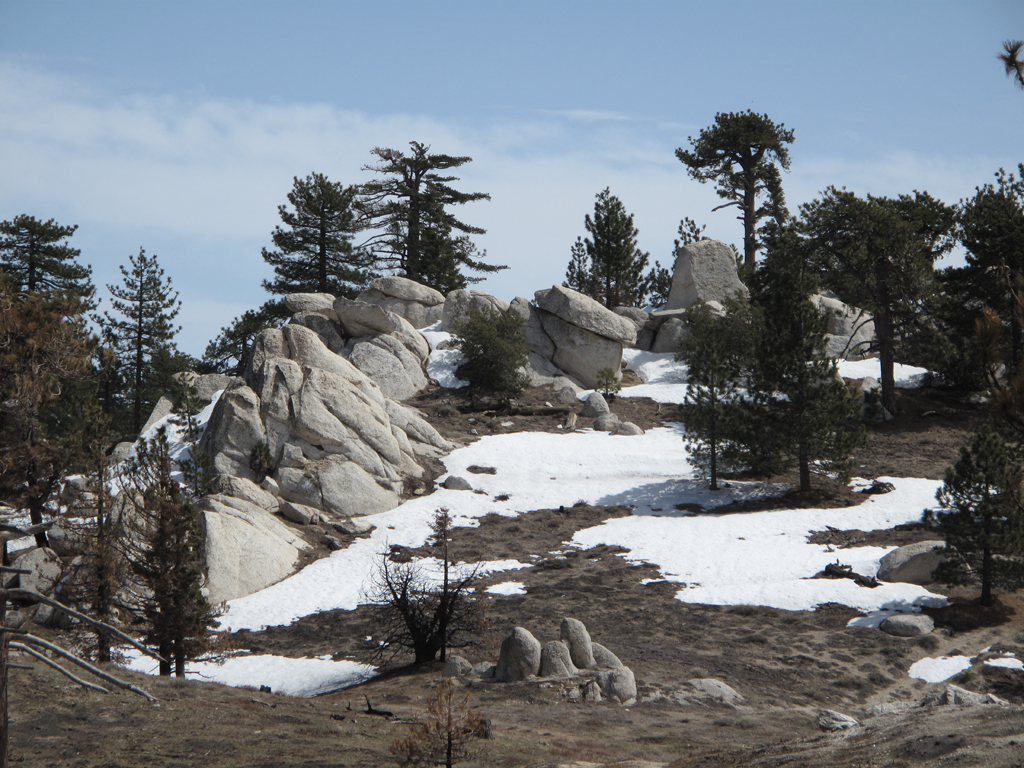
One of the lower summits on Pacifico Mountain.
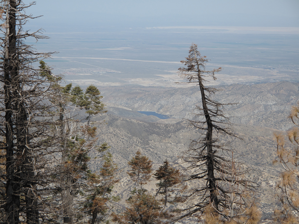
A very full looking Little Rock Reservoir, as seen from the top of Pacifico.
Pretty granite outcrop, scorched and unscathed shrubbery atop Pacifico Mountain.
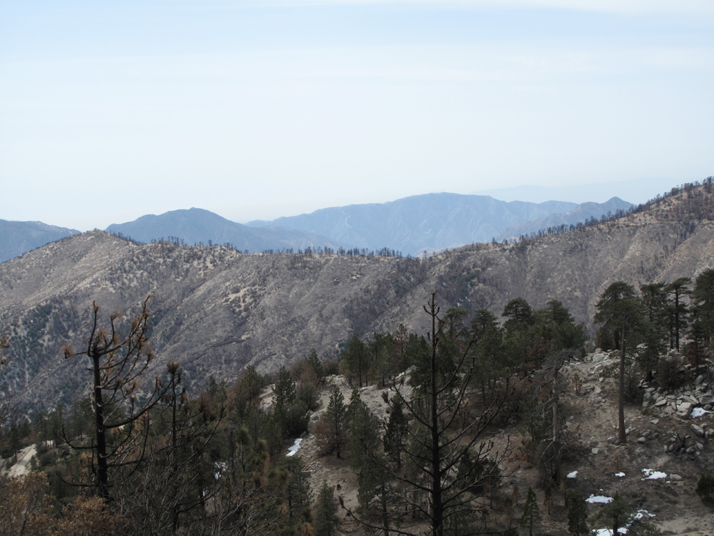
Roundtop brazier, with one of Pacifico's buttresses in the foreground.
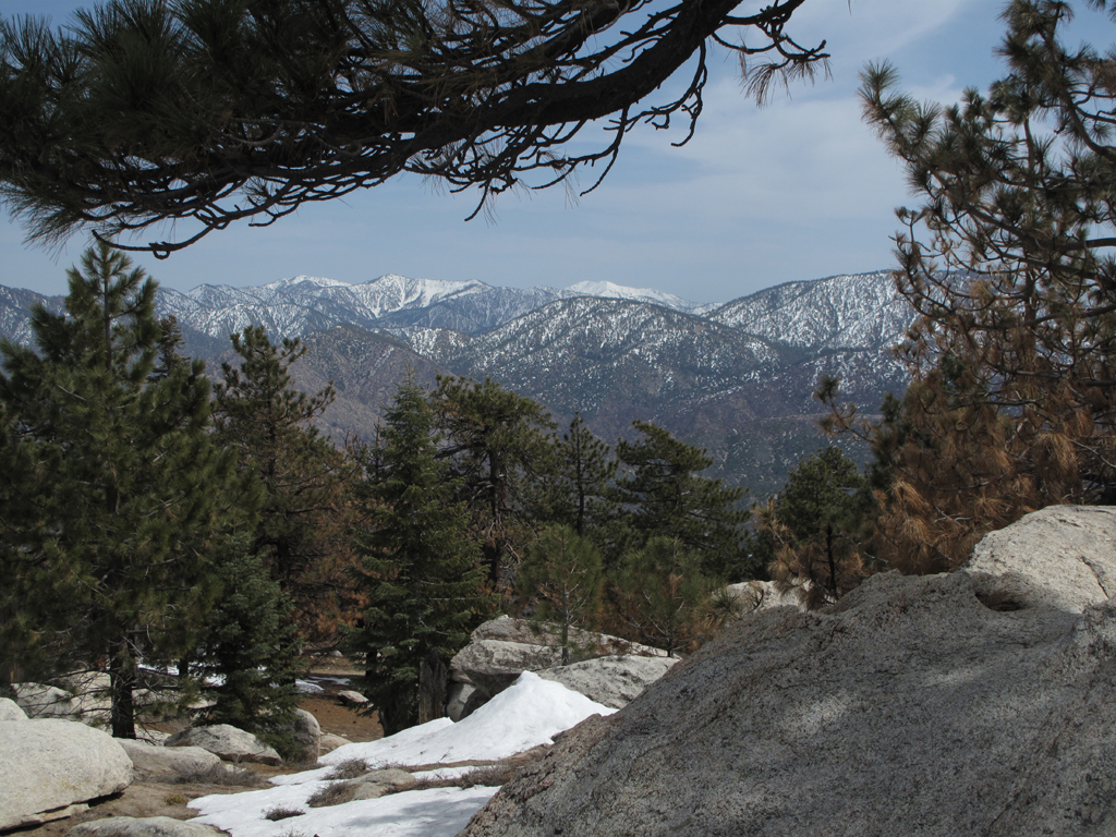
Inviting view of the San Gabriel high country from just below Pacifico Mountain's summit block; the one with the pole cemented into it.
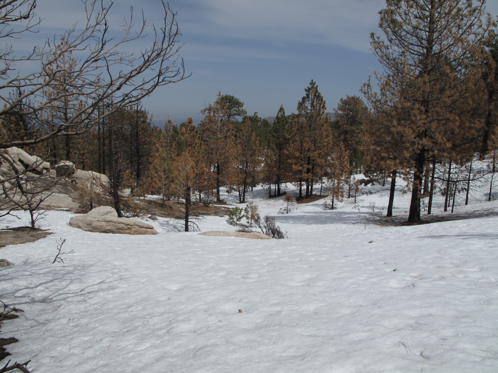
Snowy top of the ridge descended back to the floor of Santiago Canyon.
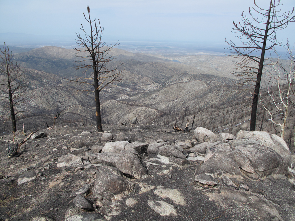
A view a little farther down the ridge.
Interesting looking burned out trunk.
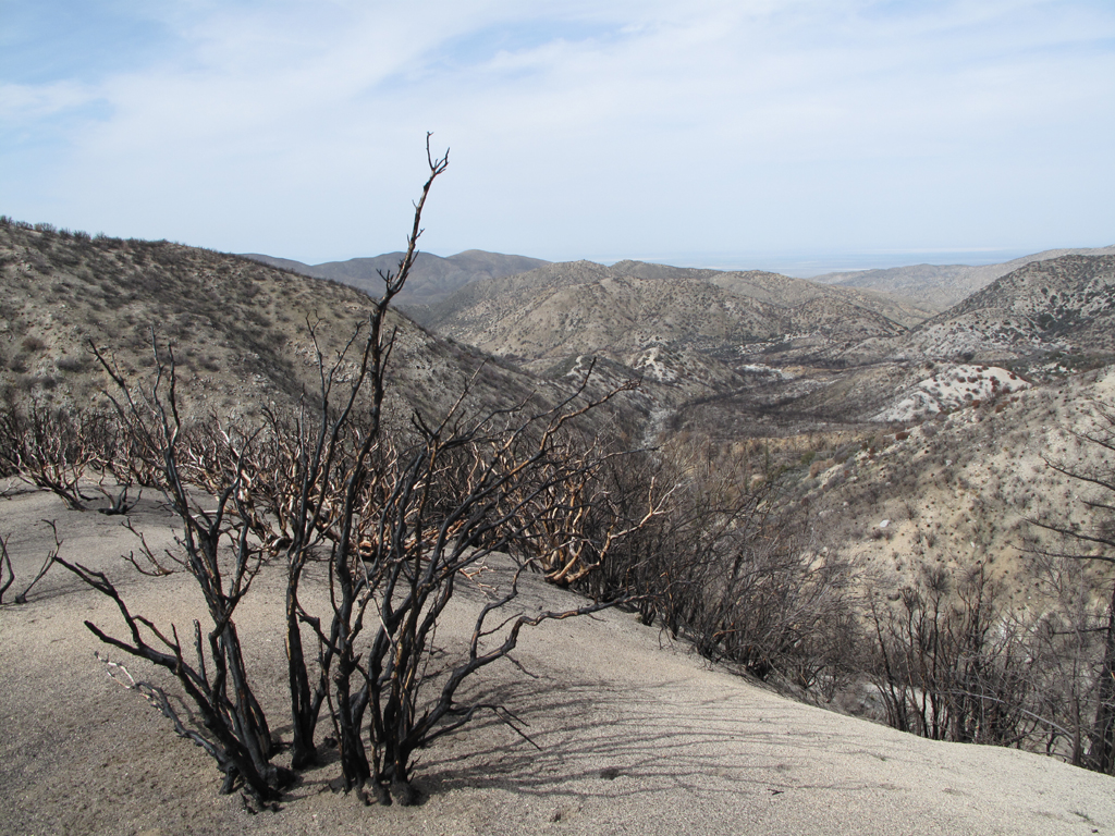
More manzanita and a view of last summer's devastation in Santiago Canyon.
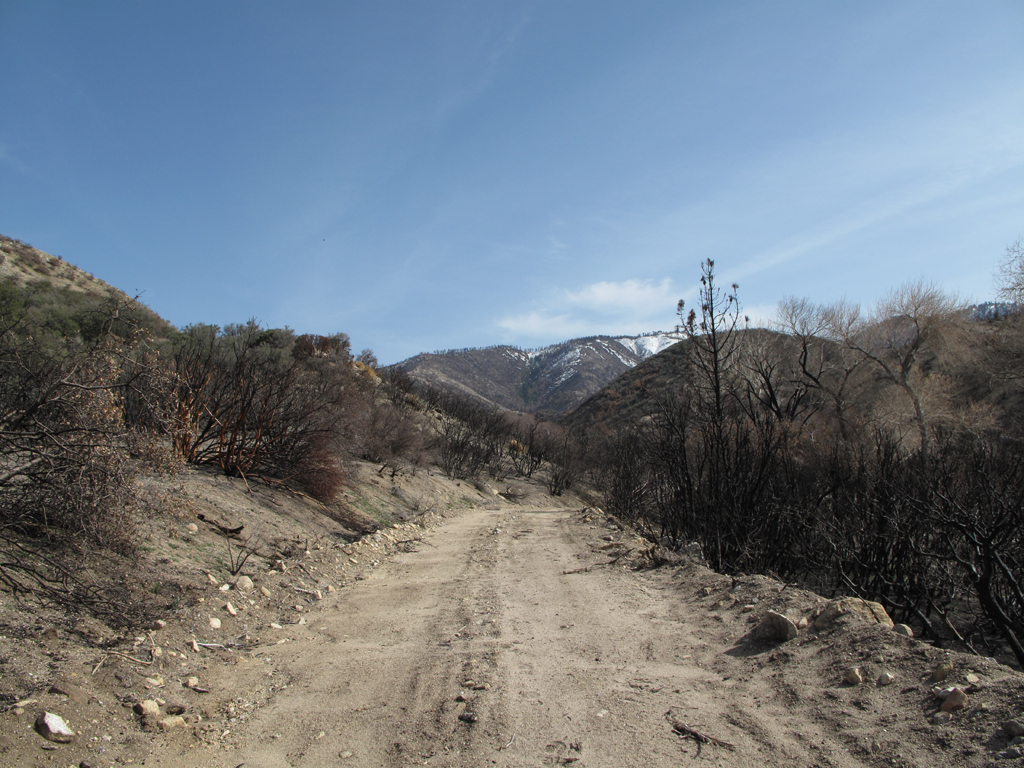
A last look back up the canyon, at the snow.
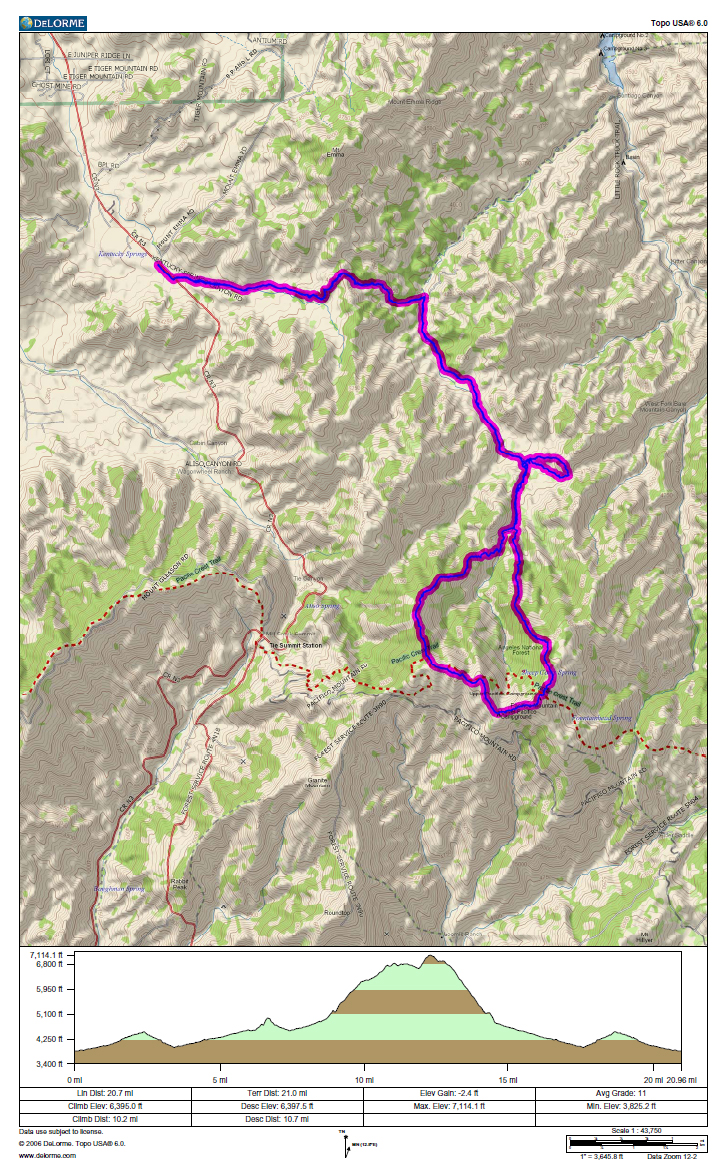
GPS track and elevation profile.
