Trip planning, history, announcements, books, movies, opinions, etc.
HikeUp
Posts: 3991 Joined: Thu Sep 27, 2007 9:21 pm
Post
by HikeUp Tue Feb 02, 2010 9:12 pm
Thread has stalled.
What peak is this pic taken from?
Taco
Snownado survivor
Posts: 6059 Joined: Thu Sep 27, 2007 4:35 pm
Post
by Taco Tue Feb 02, 2010 9:18 pm
Too easy.
Ze Hiker
Posts: 1432 Joined: Mon Jul 28, 2008 7:14 pm
Post
by Ze Hiker Tue Feb 02, 2010 9:28 pm
what peak is this photo taken from?
Taco
Snownado survivor
Posts: 6059 Joined: Thu Sep 27, 2007 4:35 pm
Post
by Taco Tue Feb 02, 2010 9:55 pm
Wherever it is, it sucks.
HikeUp
Posts: 3991 Joined: Thu Sep 27, 2007 9:21 pm
Post
by HikeUp Tue Feb 02, 2010 10:18 pm
Pleasant view ridge
HikeUp
Posts: 3991 Joined: Thu Sep 27, 2007 9:21 pm
Post
by HikeUp Tue Feb 02, 2010 10:25 pm
Pfff. Then I agree with Taco - it sucks.
Ze Hiker
Posts: 1432 Joined: Mon Jul 28, 2008 7:14 pm
Post
by Ze Hiker Tue Feb 02, 2010 10:33 pm
lol. i mean you're warm, but its not 7983' Pleasant View Ridge
HikeUp
Posts: 3991 Joined: Thu Sep 27, 2007 9:21 pm
Post
by HikeUp Tue Feb 02, 2010 10:35 pm
Yeah, I knew I was wrong when I looked at it a second time. Probably Pallett.
HikeUp
Posts: 3991 Joined: Thu Sep 27, 2007 9:21 pm
Post
by HikeUp Wed Feb 03, 2010 7:12 am
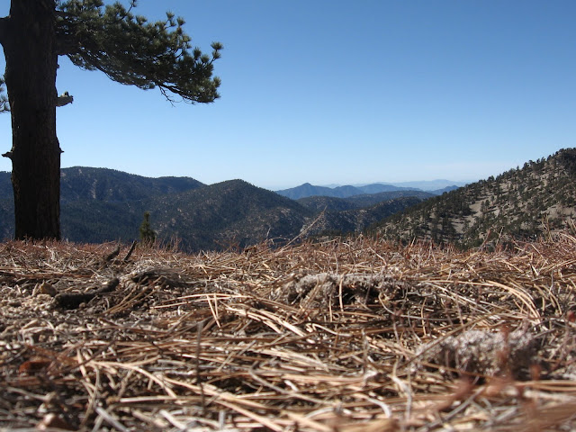
Where is this taken from?
Ze Hiker
Posts: 1432 Joined: Mon Jul 28, 2008 7:14 pm
Post
by Ze Hiker Wed Feb 03, 2010 7:39 am
mt lewis looking at mt williamson
mattmaxon
Posts: 1137 Joined: Mon Mar 24, 2008 12:48 pm
Post
by mattmaxon Wed Feb 03, 2010 8:22 am
Zé wrote:mt lewis looking at mt williamson
Damm he's good!
mattmaxon
Posts: 1137 Joined: Mon Mar 24, 2008 12:48 pm
Post
by mattmaxon Wed Feb 03, 2010 9:00 am
Zé wrote:what peak am I on?
Ummm errr ahhh
Vetter Mtn!
Ze Hiker
Posts: 1432 Joined: Mon Jul 28, 2008 7:14 pm
Post
by Ze Hiker Wed Feb 03, 2010 9:03 am
yes! guess its time to make them harder
edenooch
Posts: 504 Joined: Fri Jul 03, 2009 7:42 pm
Post
by edenooch Wed Feb 03, 2010 9:30 am
Zé wrote:yes! guess its time to make them harder
AW~
Posts: 2077 Joined: Mon Oct 01, 2007 12:00 pm
Post
by AW~ Wed Feb 03, 2010 10:19 am
Zé wrote:yes! guess its time to make them harder
You want harder?
OK...in what quad is this cascade?
this particular one sees a lot of people every year(only that one graffiti on the log when I went there though)....
Ze Hiker
Posts: 1432 Joined: Mon Jul 28, 2008 7:14 pm
Post
by Ze Hiker Wed Feb 03, 2010 10:58 am
lol I meant make my photos harder for others to guess.
as for me, I nothing nothing about canyons, Canyonman
quad: Azusa?
AW~
Posts: 2077 Joined: Mon Oct 01, 2007 12:00 pm
Post
by AW~ Wed Feb 03, 2010 12:58 pm
nope....Lytle Creek.
edenooch
Posts: 504 Joined: Fri Jul 03, 2009 7:42 pm
Post
by edenooch Thu Feb 04, 2010 10:51 am
down stream near that trailhead on the north end of that tunnel on ANGELEs FOREST HIGHWAY!
AW~
Posts: 2077 Joined: Mon Oct 01, 2007 12:00 pm
Post
by AW~ Thu Feb 04, 2010 11:50 am
Zé wrote:bonita canyon falls?
Lytle Creek quad is good enough...I was just joking with you on something difficult to guess at. Im not exact on it, but this un-named cascade is near Miller Narrows section of Lytle Creek road...hehe I only remember it as a short distance driving south of the SB ranger station.The mountain it flows down I suppose would be considered San Sevaine(most eastern edge of the San Gabriels) and this cascade is near the bottom of that. A lot of people stop along Lytle Creek road..and upon crossing Lytle Creek there is a short trail directly to this cascade(which is seen from the road).
Bonita canyon falls is on my list..just trying to plan a loop hike without getting too rugged/steep.
Taco
Snownado survivor
Posts: 6059 Joined: Thu Sep 27, 2007 4:35 pm
Post
by Taco Thu Feb 04, 2010 2:35 pm
Zé wrote:where's this?
In front of that tree.
YOU'RE NO GOOD, JOE. YOUR TRICKERY WON'T WORK ON ME!
Fuck, typing in caps reminds me of that dork fight on.